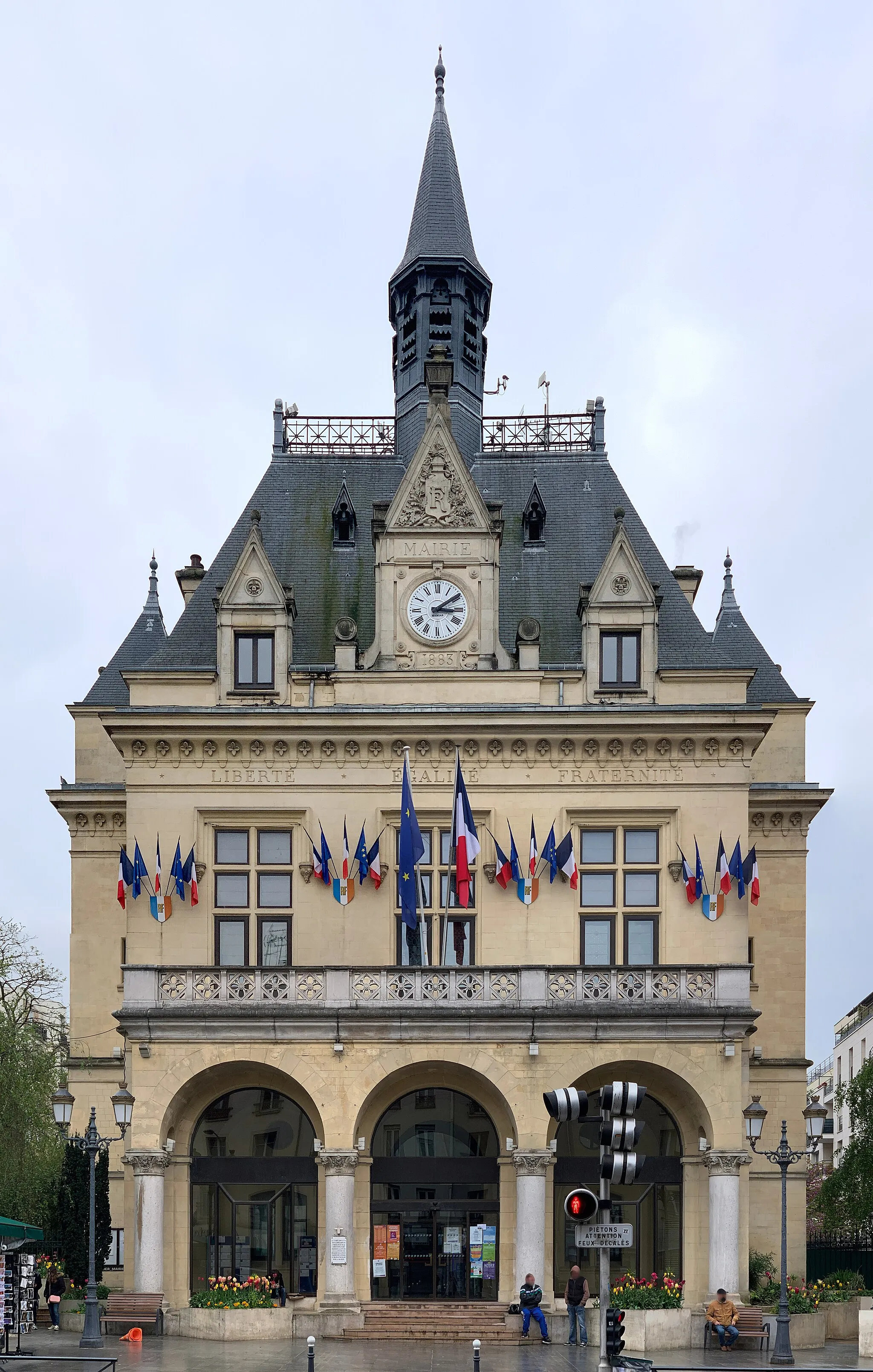
Limited cycling options in Bagnolet
Cycling routes from Bagnolet
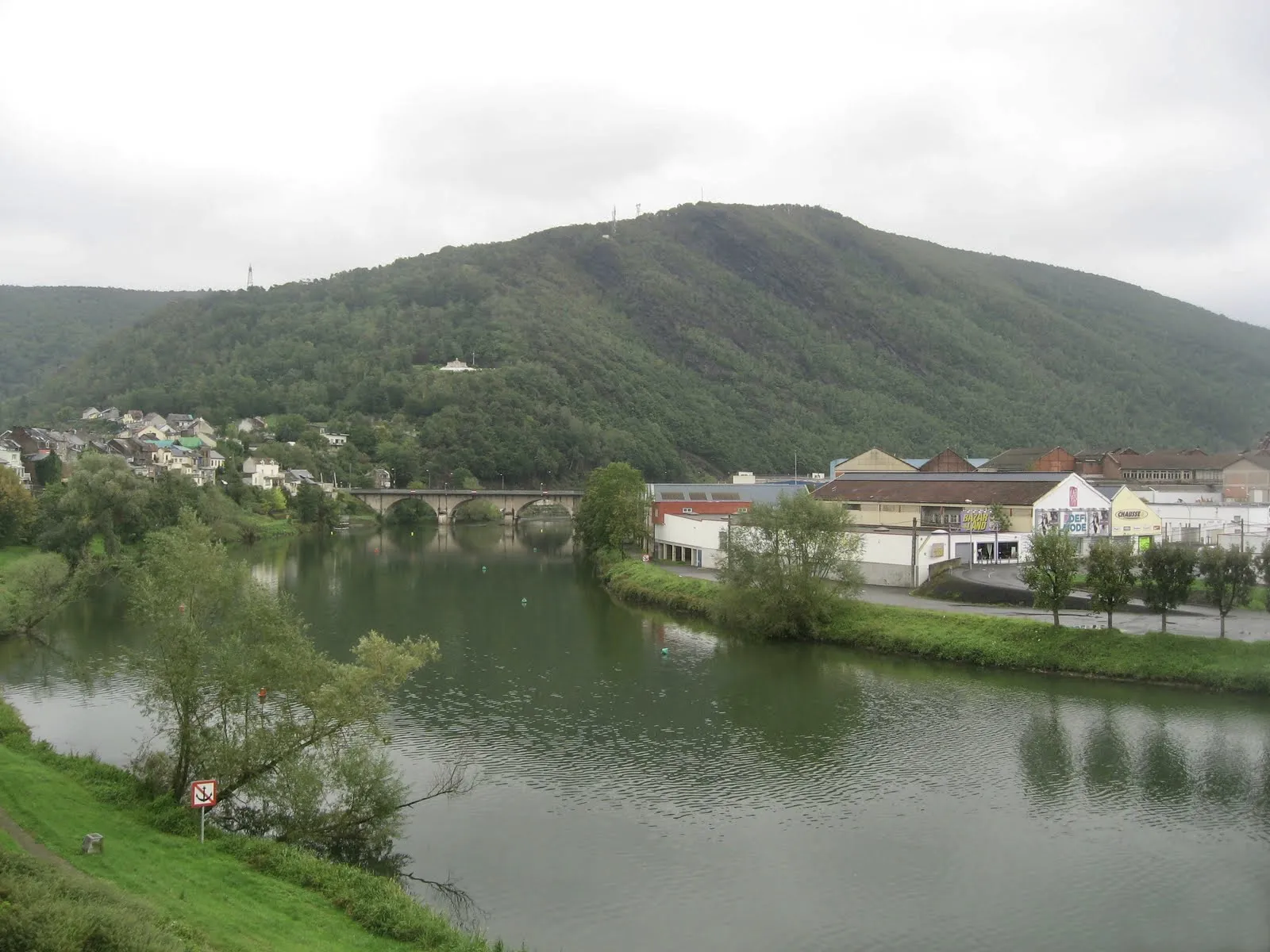
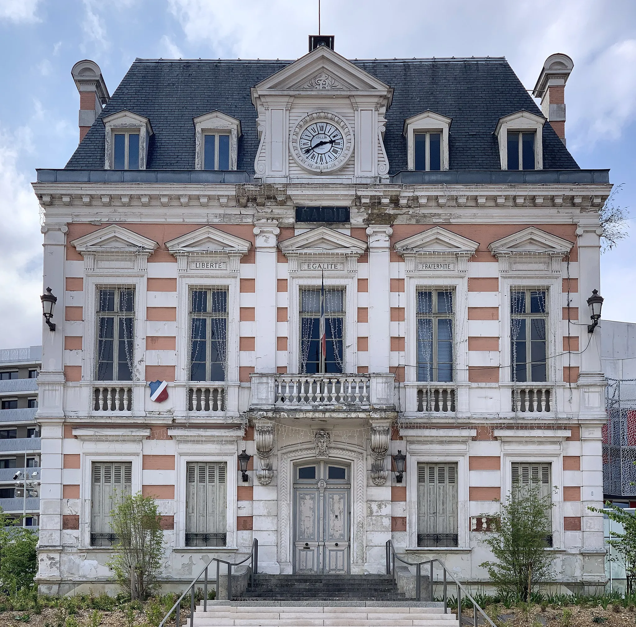
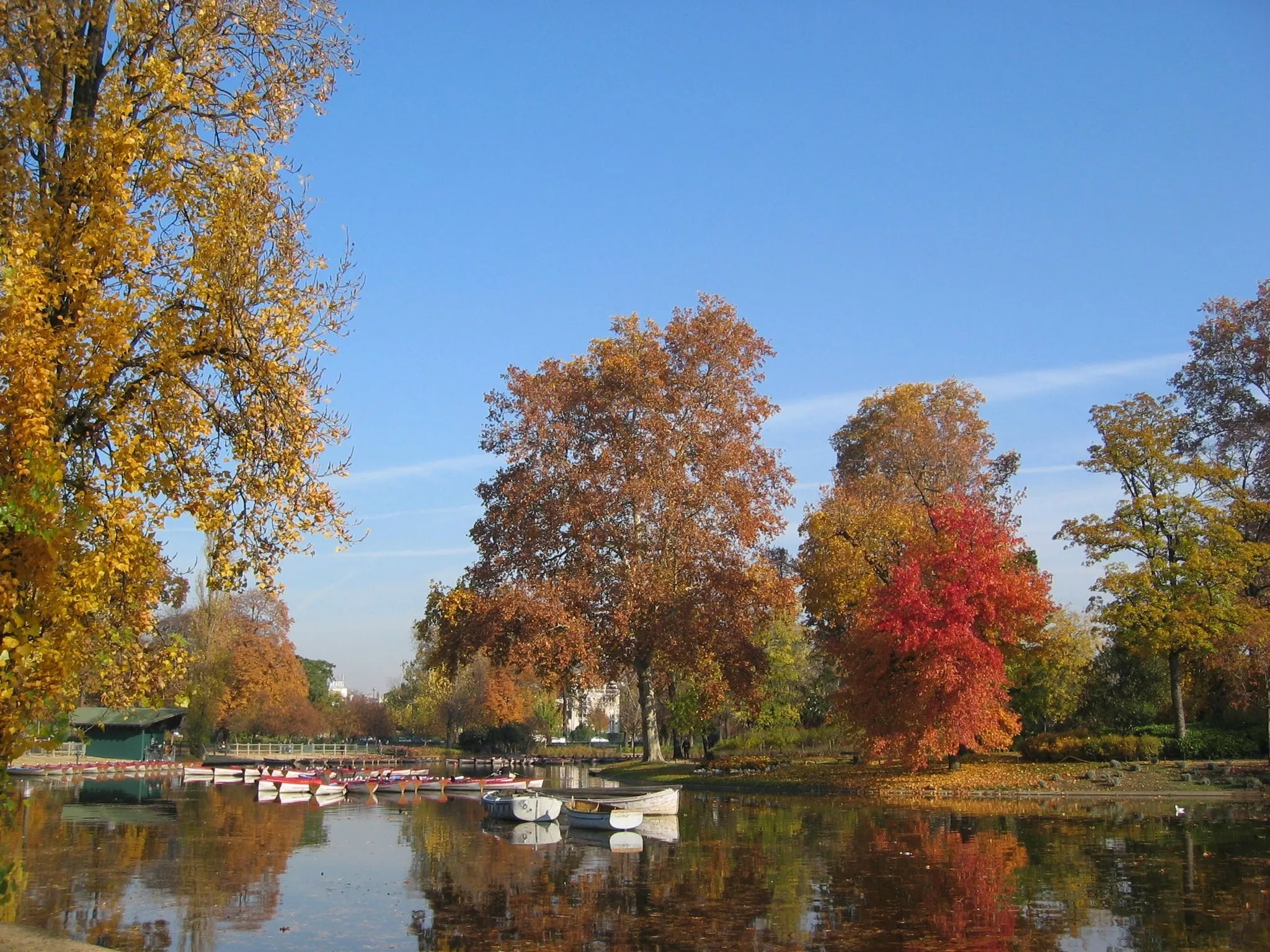
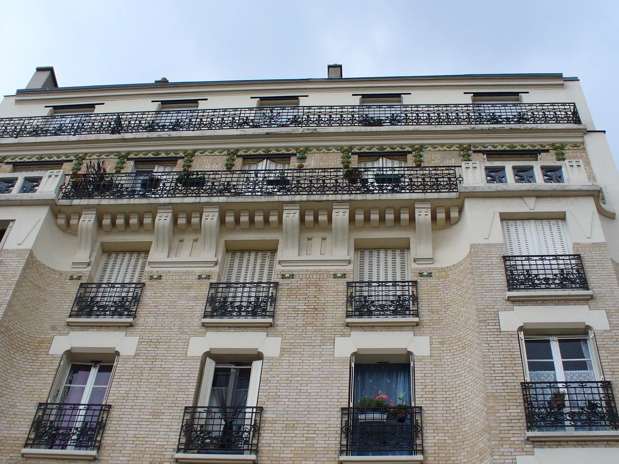
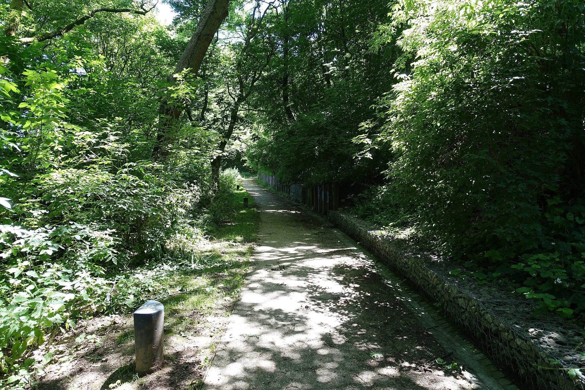
Bagnolet is a locality situated in the Ile-de-France region of France. From a cyclist's perspective, Bagnolet is not the most cycling-friendly area. The roads can be congested and lack designated cycling lanes or infrastructure. However, there are some quieter back roads that provide opportunities for recreational cycling. Bagnolet does not have any famous cycling spots or well-known climbs nearby. Overall, it is not the ideal destination for road or gravel cyclists.
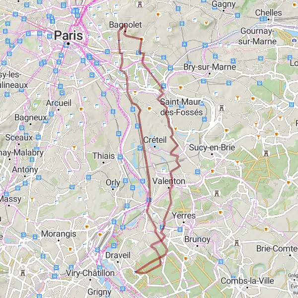
Experience the scenic beauty of Montreuil on this moderate road cycling route
This road cycling route takes you from Bagnolet to Montreuil, passing through picturesque towns and beautiful landscapes. With a total ascent of 189 meters, this route offers a mix of flat roads and gentle hills, ideal for leisurely rides. Highlights along the way include the Vallée du Morbras, a scenic valley with lush greenery, and the charming town of Saint-Maur-des-Fossés, known for its historic buildings. With a difficulty rating of 2, this route is suitable for well-trained amateur cyclists looking for a pleasant and enjoyable ride. Don't miss the opportunity to explore Montreuil's cobbled streets and stunning views from its hilltop vantage points.
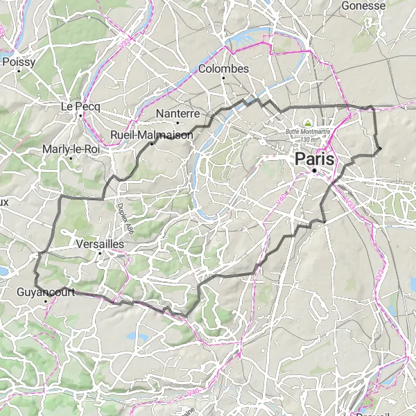
Discover the impressive skyline of La Défense on this challenging road cycling route
This road cycling route takes you from Bagnolet to La Défense, passing through scenic countryside and quaint villages. The route includes a mix of flat terrain and challenging climbs, with a total ascent of 768 meters. Highlights along the way include the Butte de Coupeaux, a picturesque hill with panoramic views, and the Grande Arche, a modern architectural marvel. The difficulty rating for this route is 4, suitable for experienced cyclists. With its epic views and diverse scenery, this route is a must-ride for adventurers seeking a challenging and rewarding cycling experience.
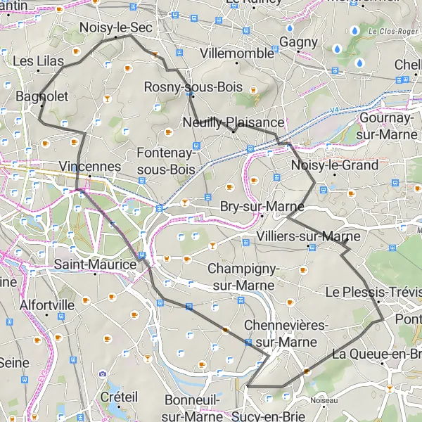
Discover the historical charm of Château de Vincennes on this enchanting gravel cycling route
This gravel cycling route takes you from Bagnolet to Château de Vincennes, passing through picturesque towns and scenic landscapes. With a total ascent of 281 meters, this route features gentle climbs and pleasant flat sections, perfect for leisurely rides. Highlights along the way include the Temple Grec, a hidden gem nestled in the heart of a park, and the Château de Vincennes, a medieval fortress with a rich history. With a difficulty rating of 2, this route is suitable for well-trained amateur gravel cyclists looking for a relaxing and scenic ride. Immerse yourself in the charm of Château de Vincennes and take a leisurely stroll through its beautiful grounds.
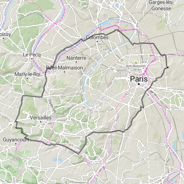
Historical Road Tour
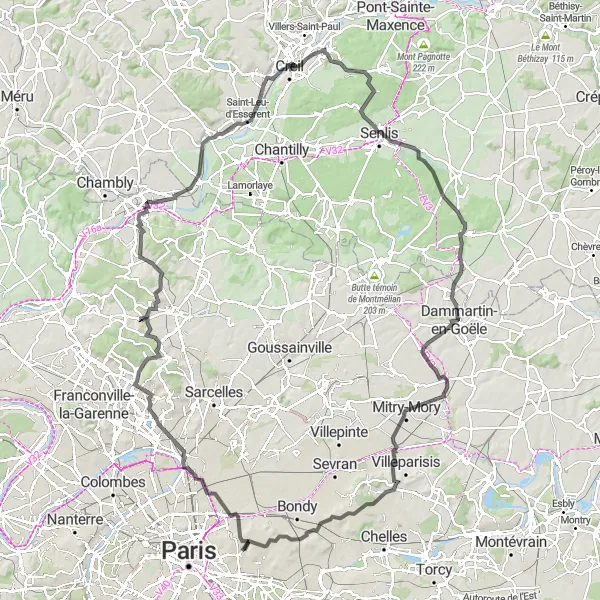
Explore the historical landmarks along this road cycling route
This road cycling route takes you on a historical journey through Ile-de-France. With an elevation gain of 955 meters and a distance of 144 kilometers, this route is suitable for experienced amateur cyclists with an interest in history. Along the way, you'll pass by renowned historical sites, charming villages, and breathtaking landscapes.
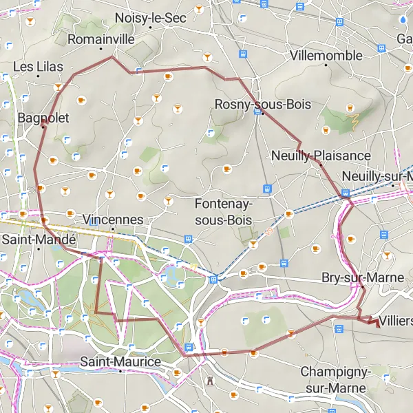
Explore the charming suburb of Saint-Mandé on this scenic gravel cycling route
This gravel cycling route takes you from Bagnolet to Saint-Mandé, offering scenic views and a leisurely ride. With a total ascent of 167 meters, this route is perfect for cyclists looking for a shorter adventure or a relaxing day trip. Highlights along the way include Rosny-sous-Bois, a vibrant suburb with an array of shops and restaurants, and the Butte aux Canons, a hidden gem offering stunning views of the surrounding landscape. With a difficulty rating of 1, this route is suitable for beginners and casual cyclists. Finish your ride in Saint-Mandé, a charming town with beautiful parks and outdoor cafes.
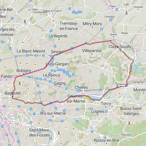
Scenic Gravel Circuit
Explore the outskirts and ride through gravel paths
This gravel cycling route offers a unique way to explore the outskirts of Bagnolet. With an ascent of 619 meters and a distance of 82 kilometers, it is suitable for gravel enthusiasts looking for an adventure. The route takes you through picturesque villages, serene countryside, and scenic forests.
Climb the scenic Butte de Coupeaux
This road cycling route takes you through stunning landscapes and offers a challenging ascent to the Butte de Coupeaux. With an elevation gain of 605 meters and a distance of 82 kilometers, this route is suitable for well-trained amateur cyclists. The scenery along the way includes beautiful countryside views, charming villages, and historic sites.
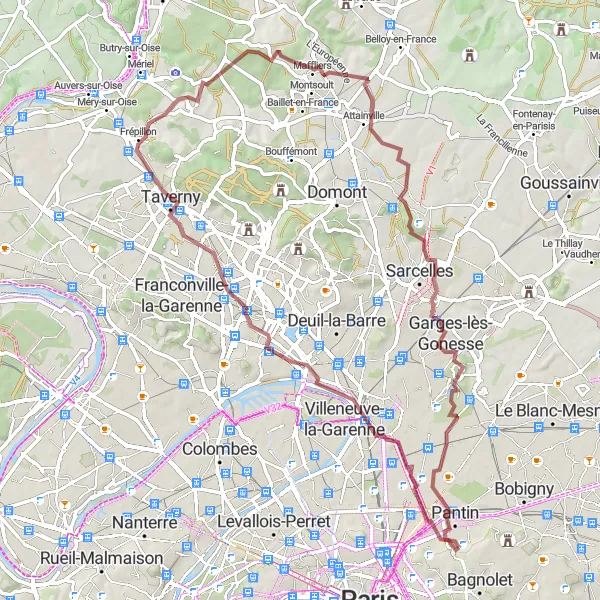
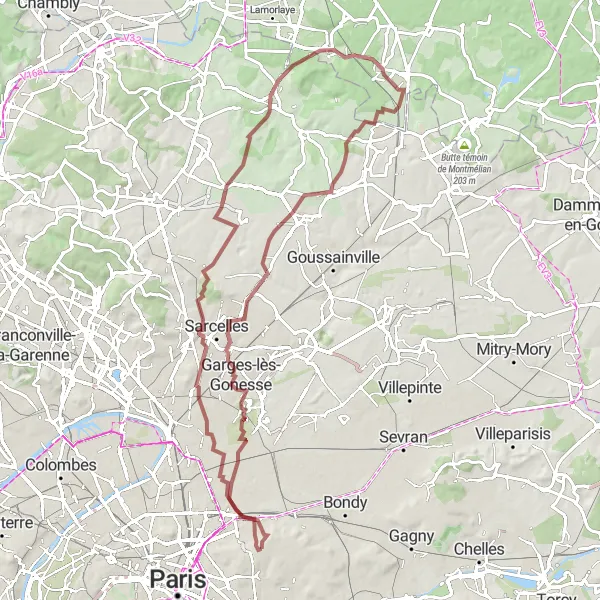
Explore the stunning plateaus of Val d'Oise on this thrilling gravel cycling route
This gravel cycling route takes you from Bagnolet to Garges-lès-Gonesse, passing through scenic landscapes and ancient villages. With a total ascent of 511 meters, this route offers a mix of challenging climbs and serene flat sections. Highlights along the way include Saint-Denis, where you can visit the famous Basilica and learn about its rich history, and Attainville, a picturesque village located on the stunning plateaus of Val d'Oise. With a difficulty rating of 4, this route is recommended for experienced gravel cyclists seeking an adventurous and rewarding ride. Don't forget to pack a camera to capture the breathtaking views of the surrounding countryside.
Cultural Road Loop
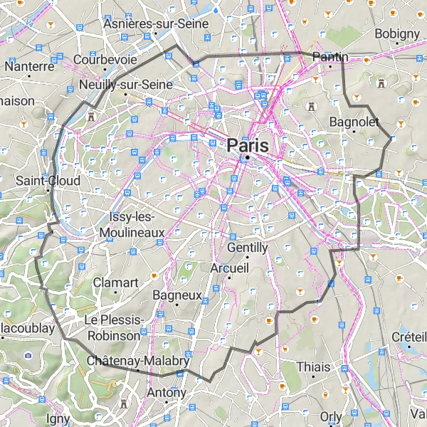
Immerse yourself in the cultural heritage along this road cycling route
This road cycling route takes you on a cultural journey through the diverse landscapes surrounding Bagnolet. With an elevation gain of 412 meters and a distance of 59 kilometers, this route is suitable for cyclists of intermediate level. Along the way, you'll pass by historical landmarks, charming villages, and picturesque nature spots.
Bagnolet's Gravel Adventure
Embark on a gravel adventure starting from Bagnolet
This gravel cycling route offers a thrilling adventure through the scenic surroundings of Bagnolet. With an ascent of 261 meters and a distance of 61 kilometers, this route is suitable for gravel enthusiasts of all levels. Along the way, you'll pass through charming villages, tranquil countryside, and hidden gems.
Cycling routes nearby:

Nearby regions: