Scenic Gravel Circuit
A gravel cycling route starting from Bagnolet
Explore the outskirts and ride through gravel paths
Map
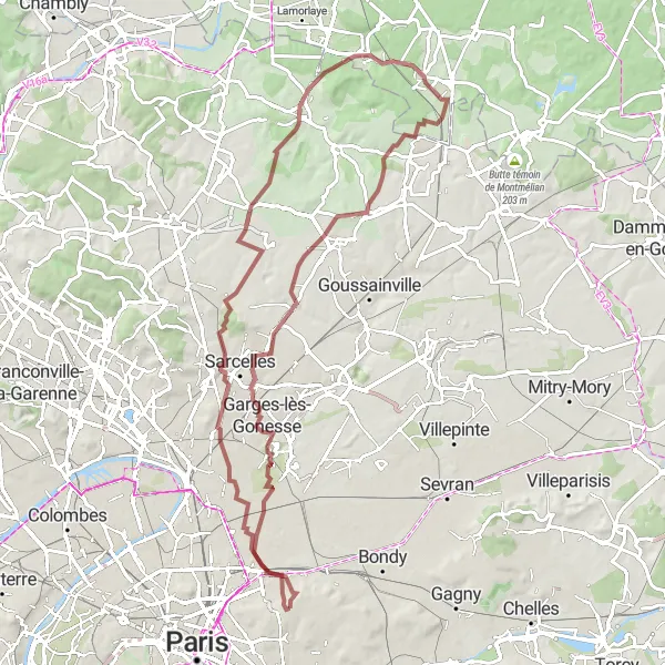
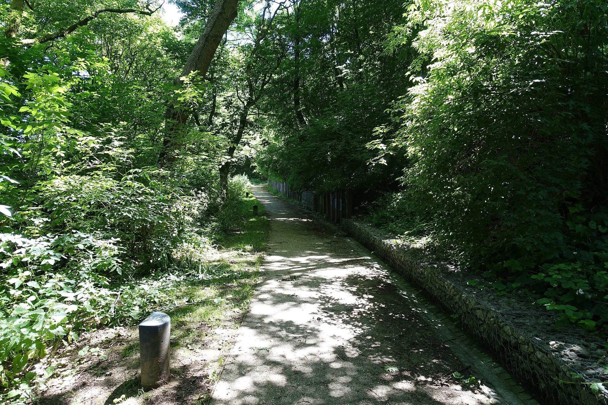
This gravel cycling route offers a unique way to explore the outskirts of Bagnolet. With an ascent of 619 meters and a distance of 82 kilometers, it is suitable for gravel enthusiasts looking for an adventure. The route takes you through picturesque villages, serene countryside, and scenic forests.
gravel
82 km
619 m
Tough
Route profile
Highlights on the route
0 km
0 km
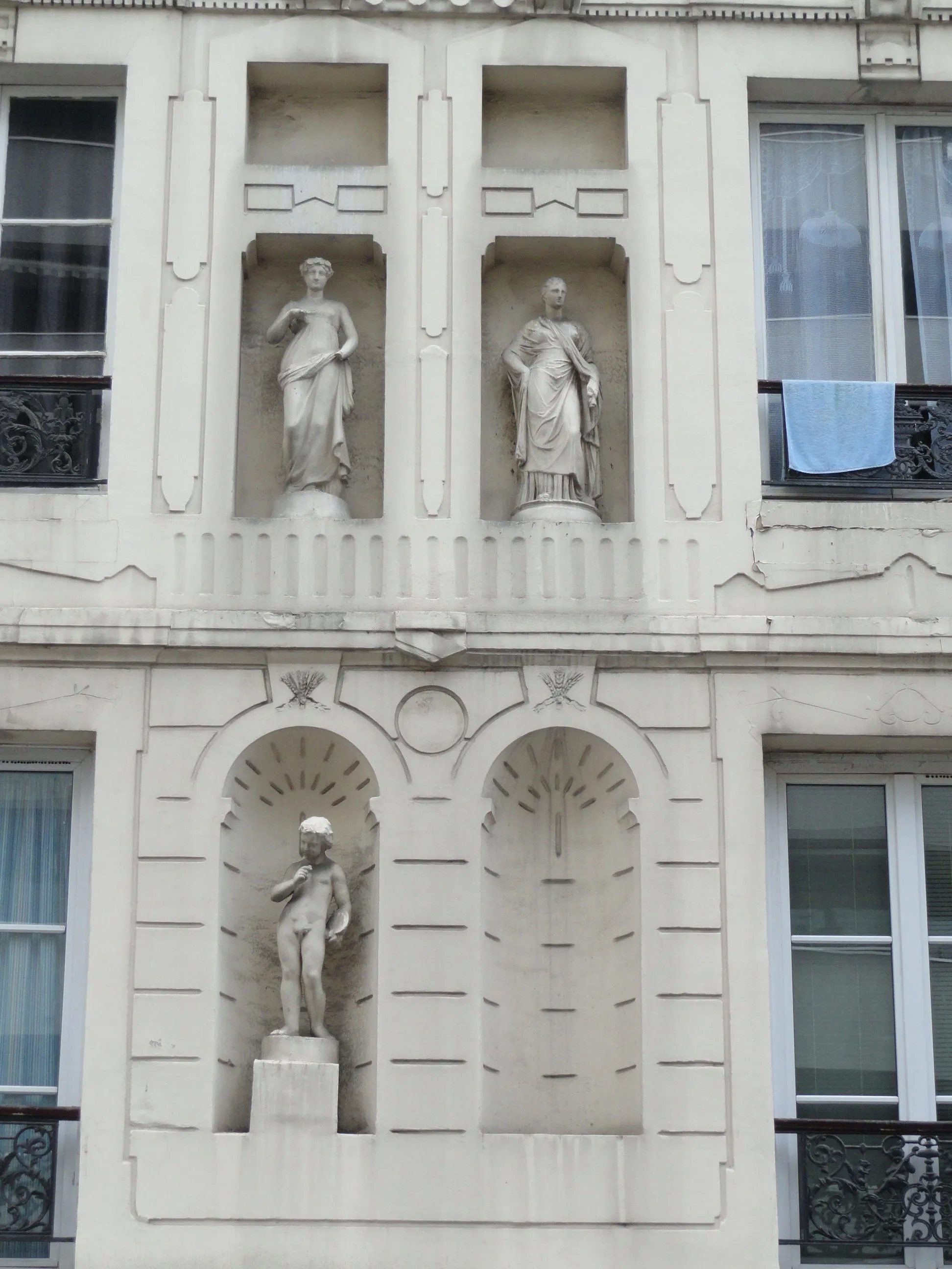
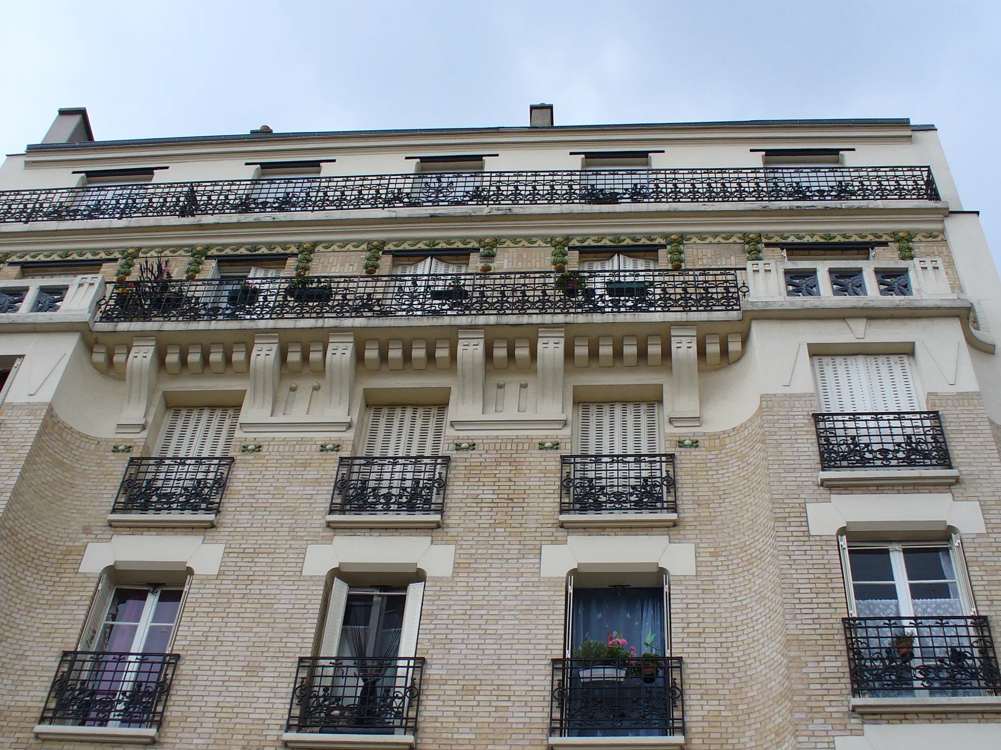
Start: Les Lilas City centerBagnolet: Limited cycling options in Bagnolet
Bagnolet is a locality situated in the Ile-de-France region of France. From a cyclist's perspective, Bagnolet is not the most cycling-friendly area. The roads can be congested and lack designated cycling lanes or infrastructure. However, there are some quieter back roads that provide opportunities for recreational cycling. Bagnolet does not have any famous cycling spots or well-known climbs nearby. Overall, it is not the ideal destination for road or gravel cyclists.17 km
17 km
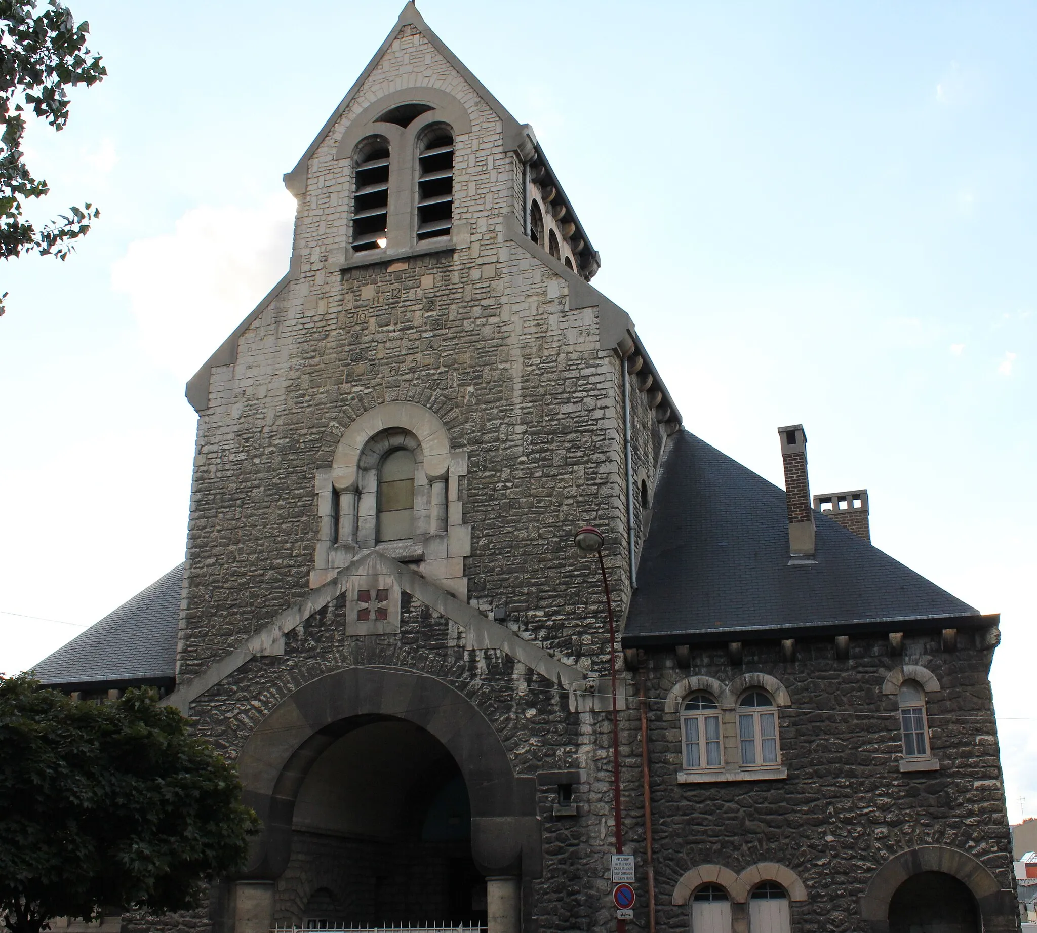
SarcellesTownPass through the town of Sarcelles, known for its rich history and diverse cultural heritage.
40 km
40 km
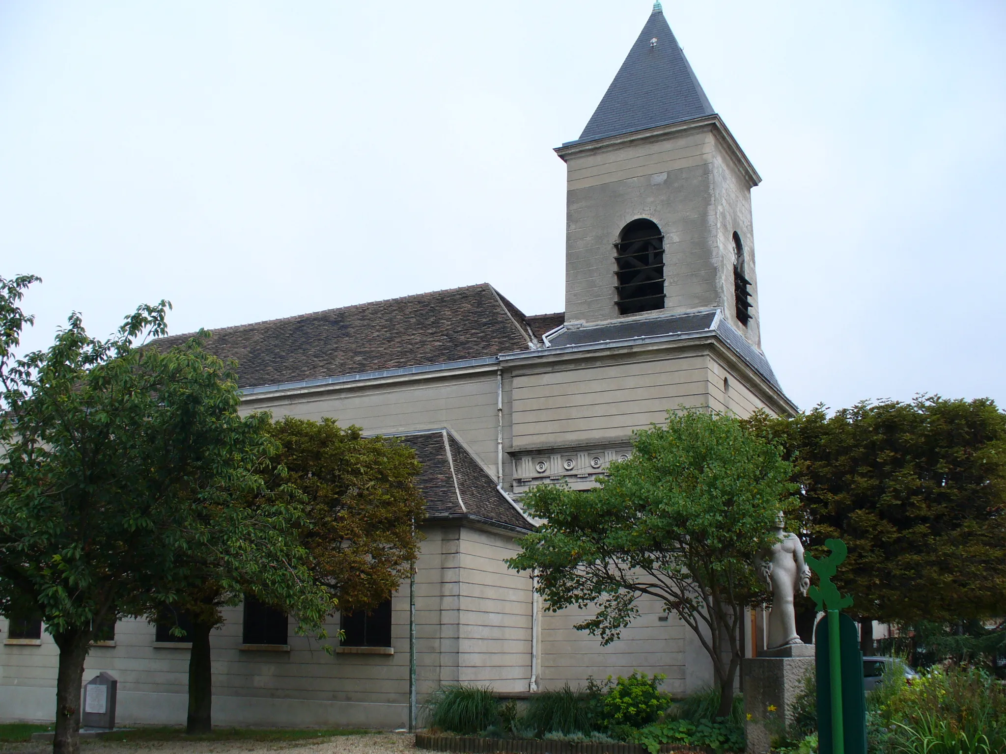
Orry-la-VilleVillageCycle through the charming village of Orry-la-Ville and take in its bucolic scenery.
61 km
61 km
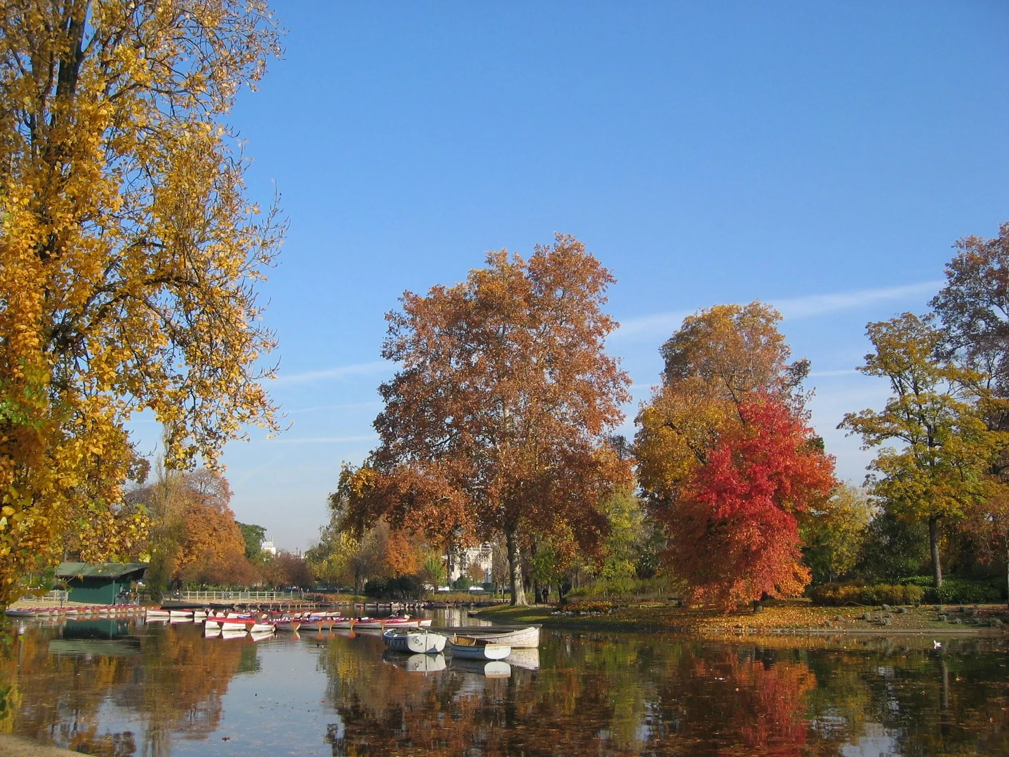
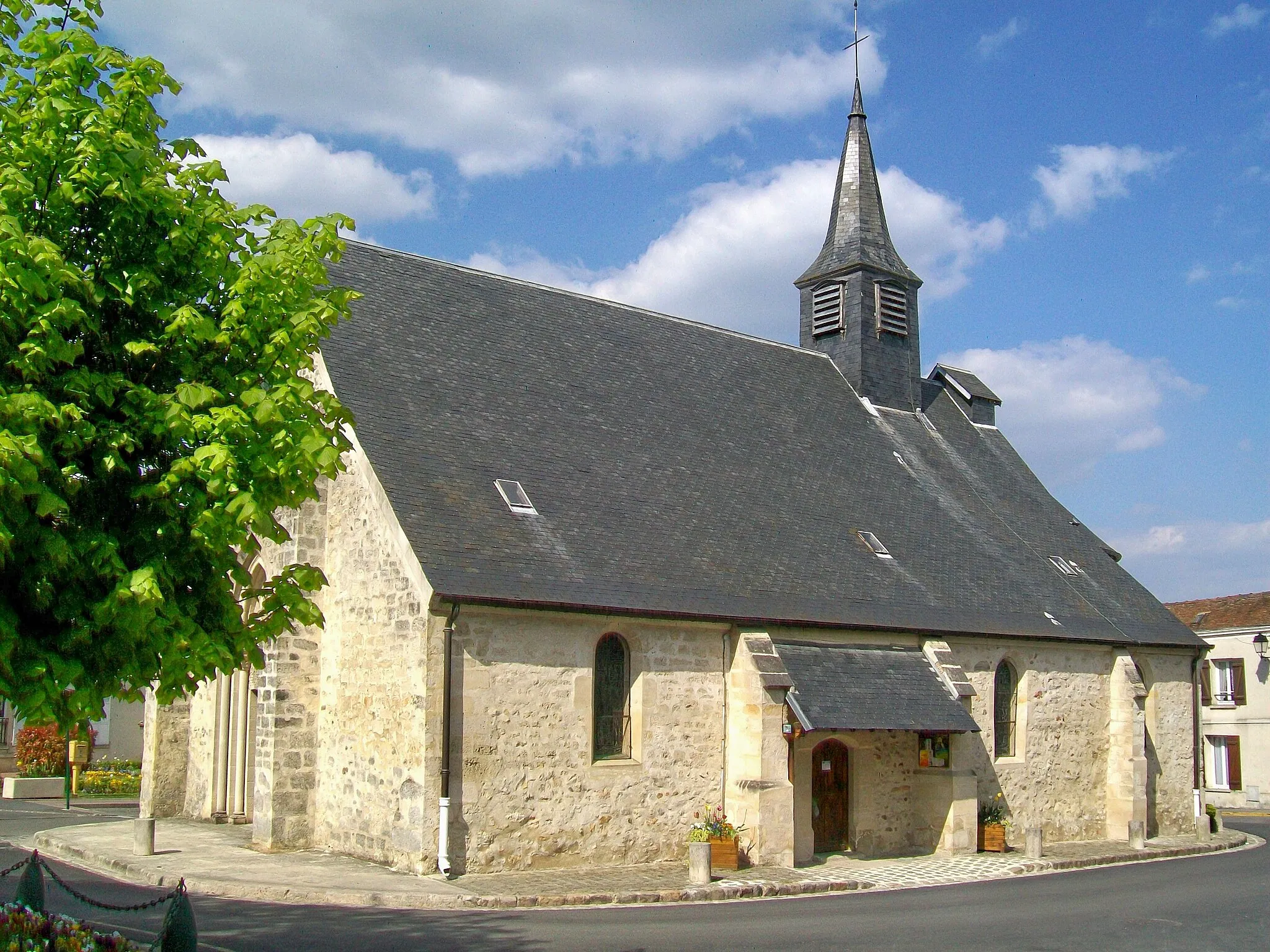
ÉzanvilleVillageRide through the village of Ézanville, famous for its historic architecture and picturesque streets.
76 km
76 km
AubervilliersTownEnd your journey in Aubervilliers and unwind with the various entertainment options the town has to offer.
82 km
82 km
Finish: Les Lilas City centerBagnolet: Limited cycling options in Bagnolet
Cycling routes from Bagnolet:
Cycling routes nearby: