Bagnolet to Saint-Mandé Loop
A gravel cycling route starting from Bagnolet
Explore the charming suburb of Saint-Mandé on this scenic gravel cycling route
Map
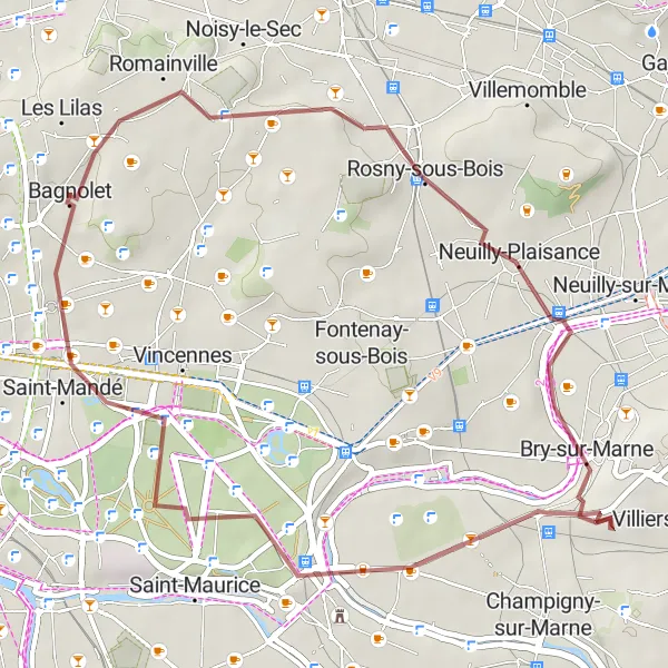
This gravel cycling route takes you from Bagnolet to Saint-Mandé, offering scenic views and a leisurely ride. With a total ascent of 167 meters, this route is perfect for cyclists looking for a shorter adventure or a relaxing day trip. Highlights along the way include Rosny-sous-Bois, a vibrant suburb with an array of shops and restaurants, and the Butte aux Canons, a hidden gem offering stunning views of the surrounding landscape. With a difficulty rating of 1, this route is suitable for beginners and casual cyclists. Finish your ride in Saint-Mandé, a charming town with beautiful parks and outdoor cafes.
gravel
27 km
167 m
Chill
Route profile
Highlights on the route
0 km
0 km
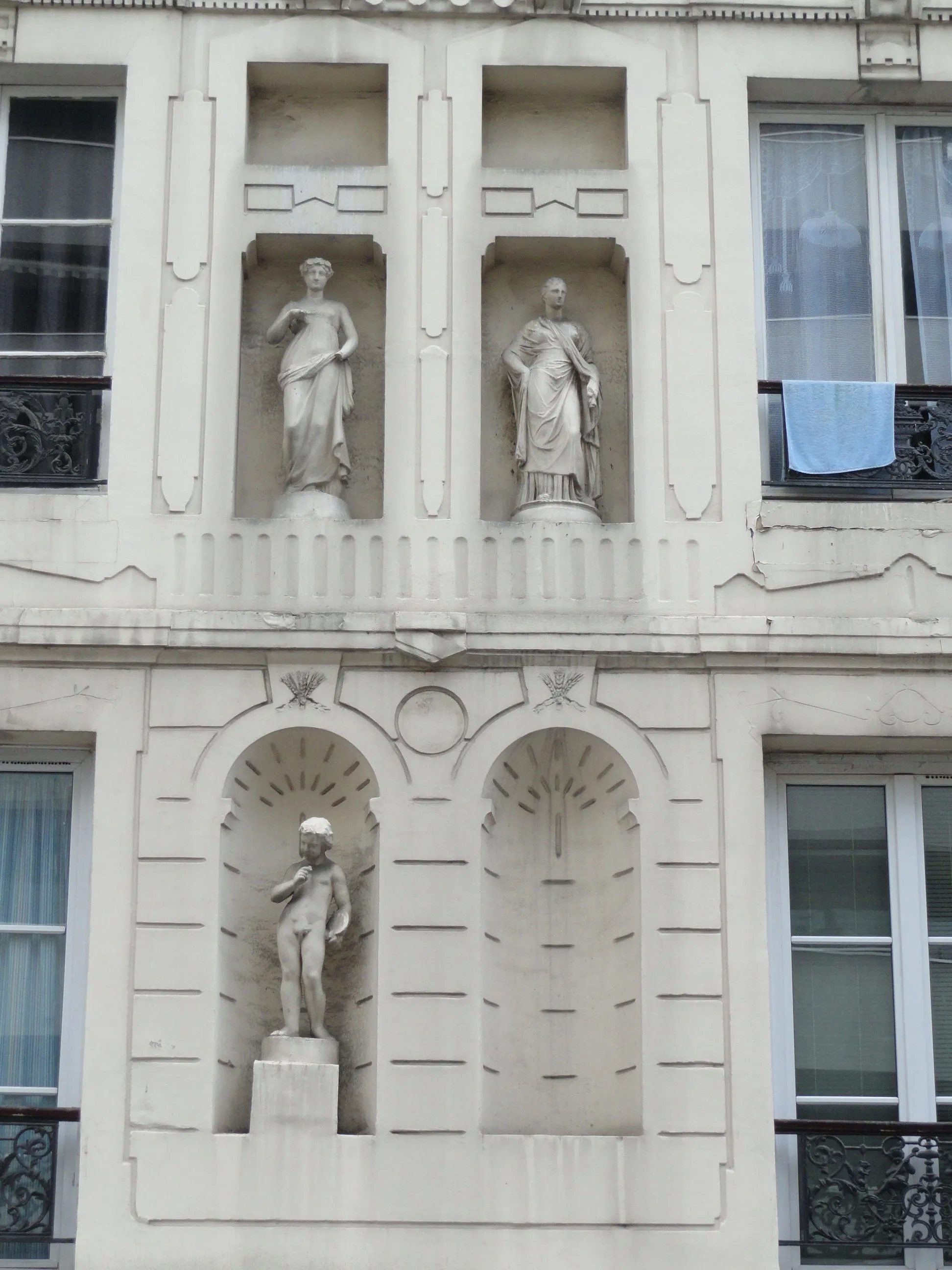
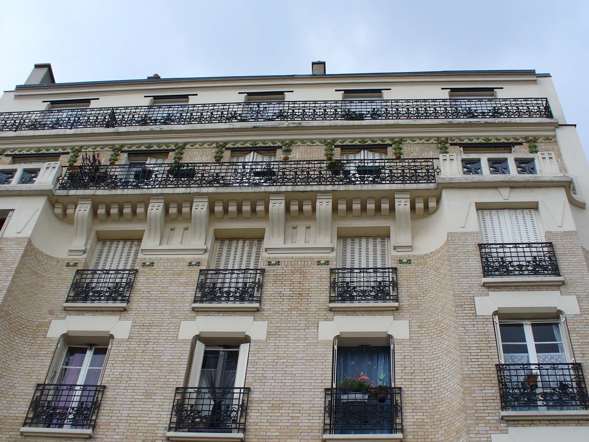
Start: Bagnolet City centerBagnolet: Limited cycling options in Bagnolet
Bagnolet is a locality situated in the Ile-de-France region of France. From a cyclist's perspective, Bagnolet is not the most cycling-friendly area. The roads can be congested and lack designated cycling lanes or infrastructure. However, there are some quieter back roads that provide opportunities for recreational cycling. Bagnolet does not have any famous cycling spots or well-known climbs nearby. Overall, it is not the ideal destination for road or gravel cyclists.6 km
6 km
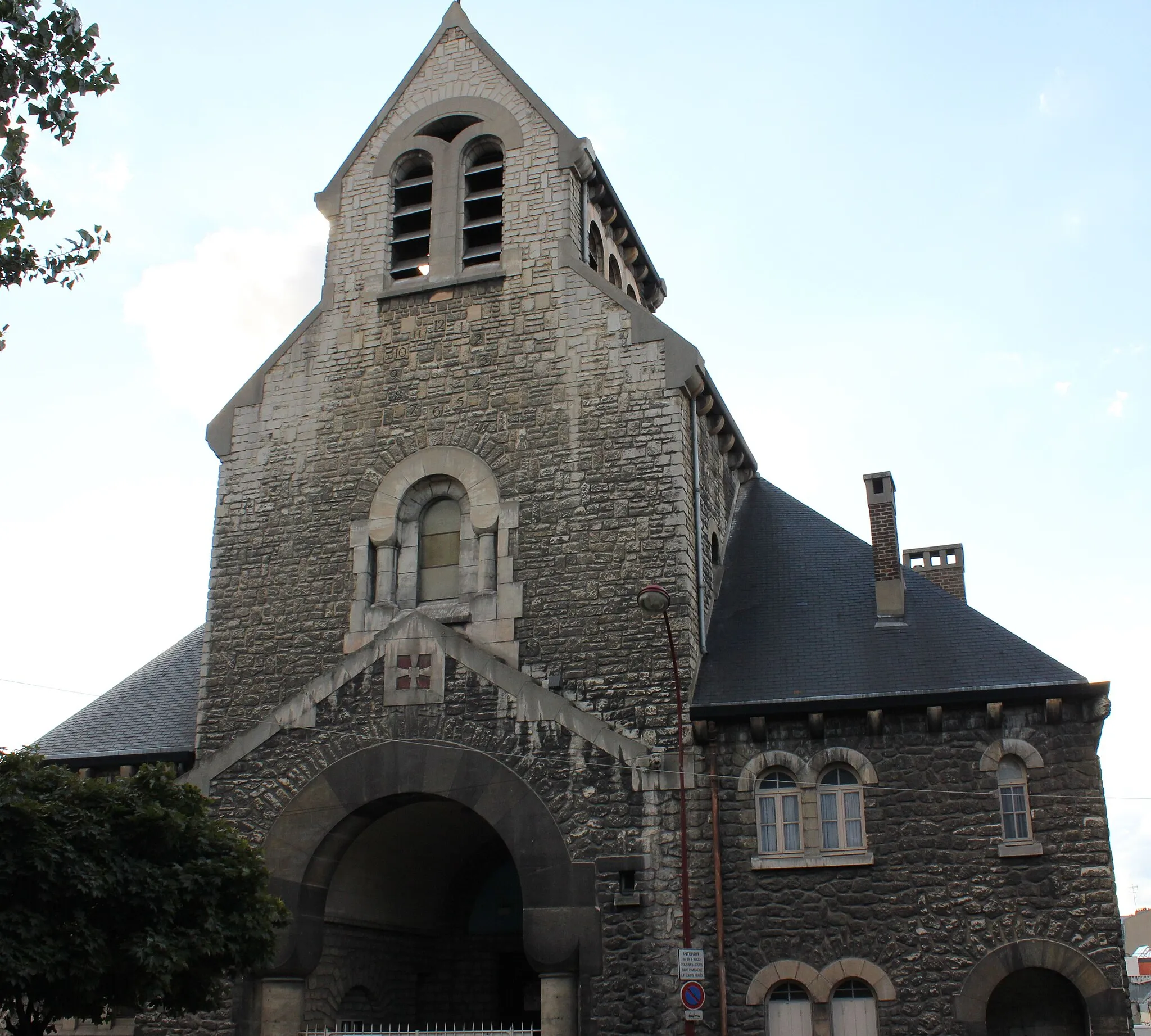
Rosny-sous-BoisTownPass through Rosny-sous-Bois, a lively suburb with a vibrant atmosphere and plenty of amenities.
21 km
21 km
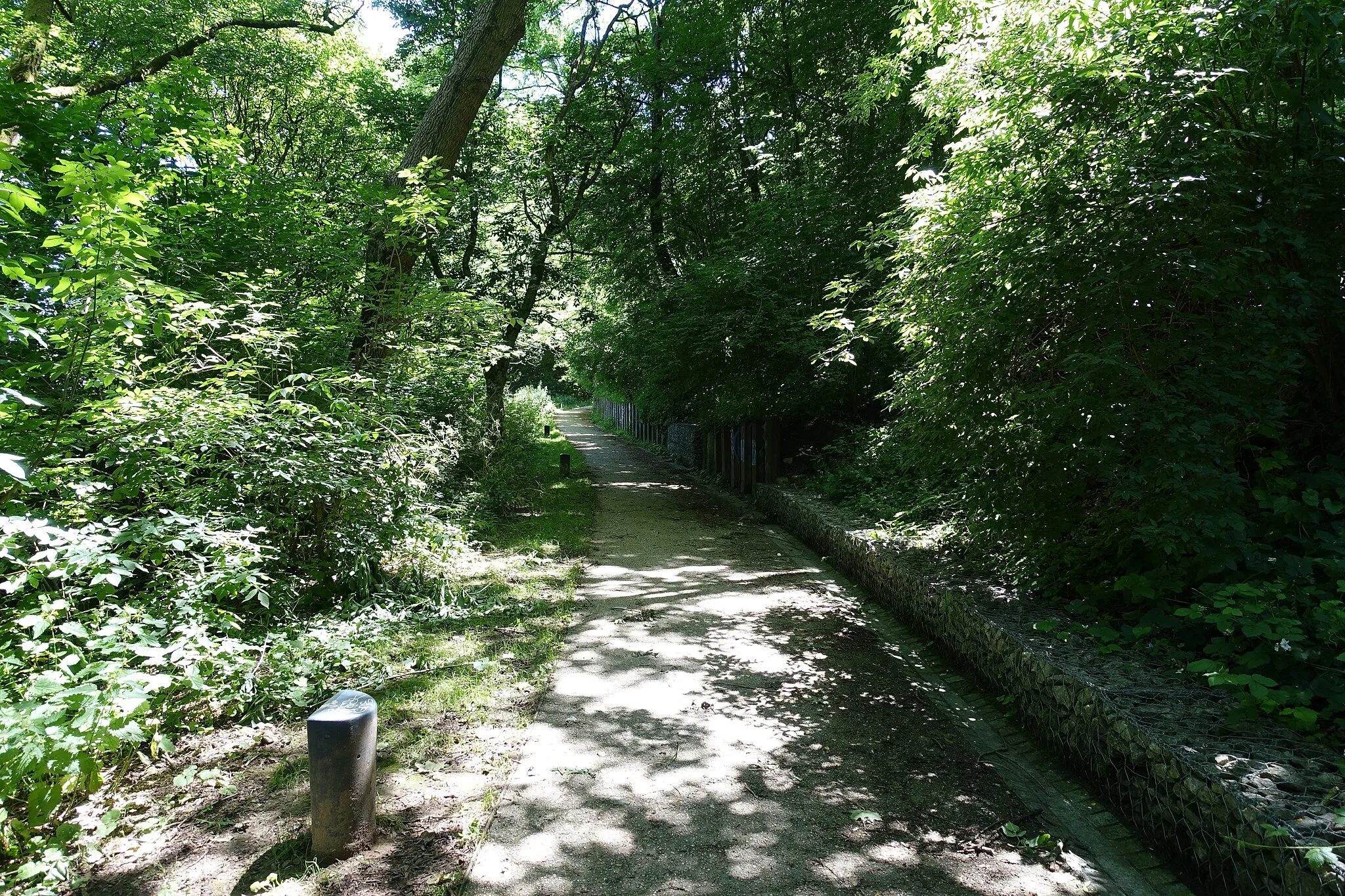
Butte aux CanonsViewpointClimb the Butte aux Canons and enjoy panoramic views of the surrounding countryside.
24 km
24 km
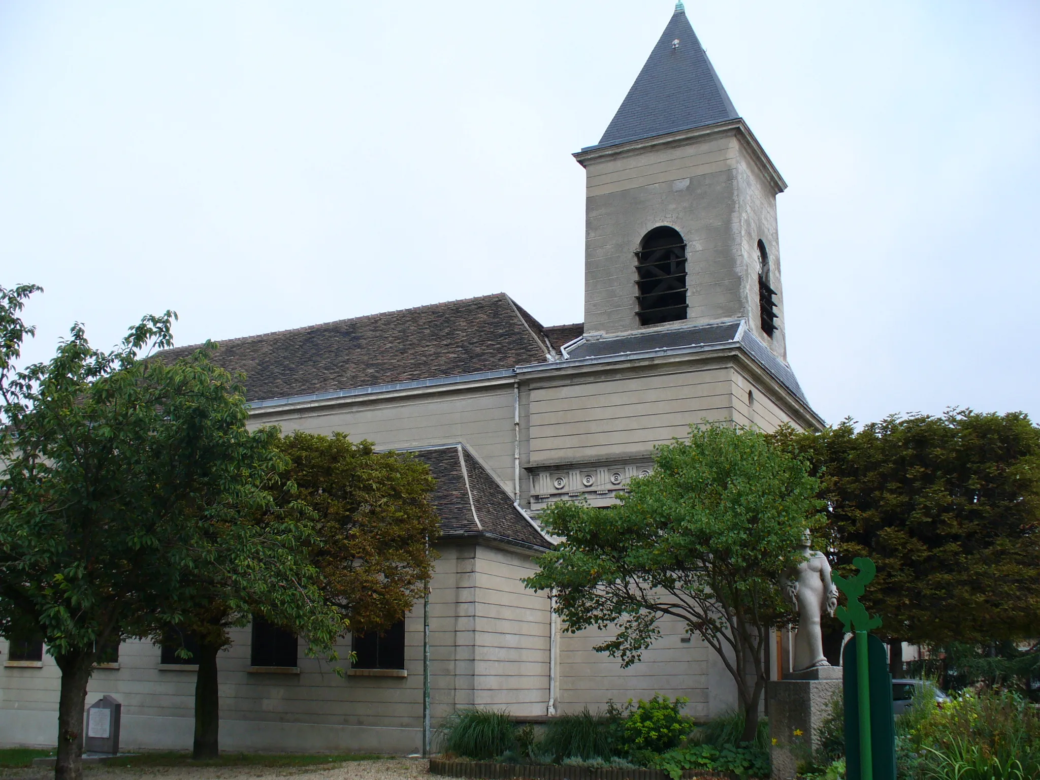
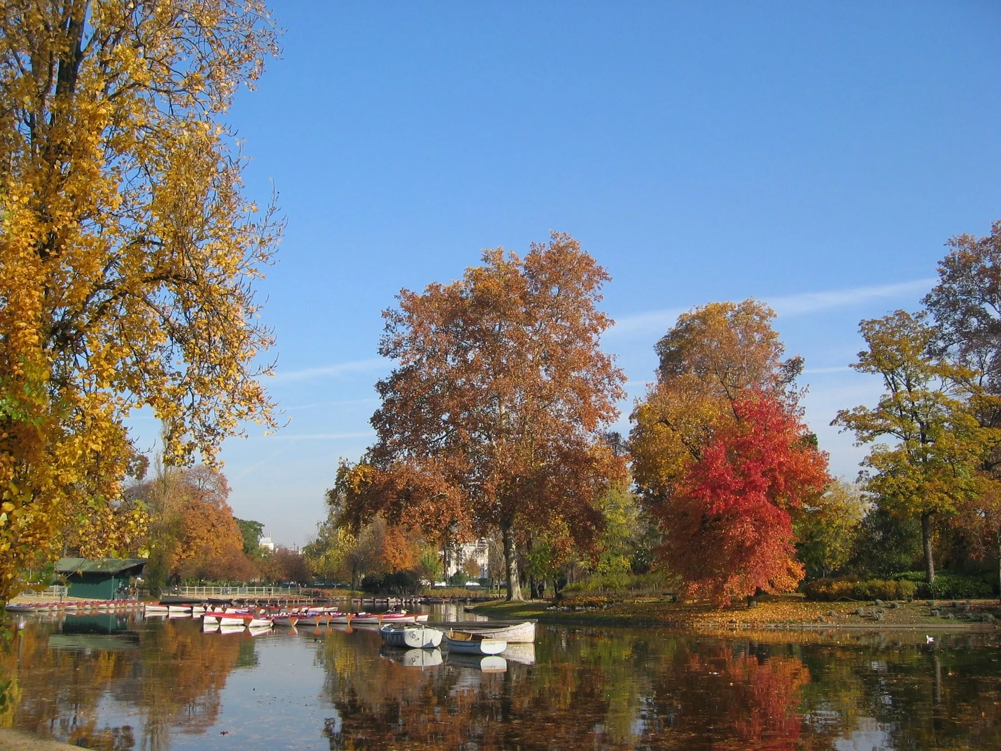
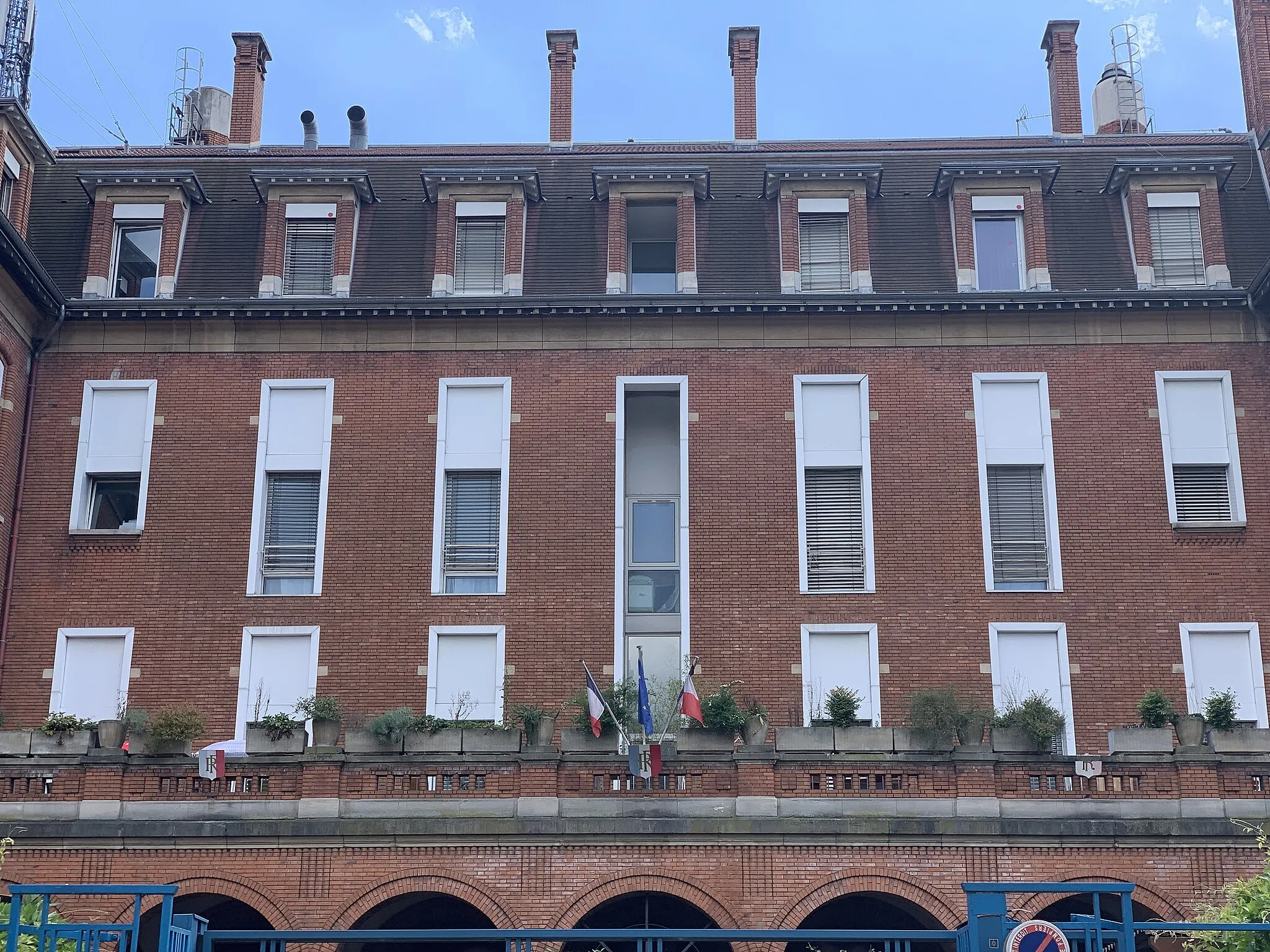
Saint-MandéTownExplore the quaint town of Saint-Mandé and relax in its beautiful parks.
27 km
27 km
Finish: Bagnolet City centerBagnolet: Limited cycling options in Bagnolet
Cycling routes from Bagnolet:
Cycling routes nearby: