The Gravel Adventure
A gravel cycling route starting from Montgeron
Experience the thrill of adventure on this gravel route near Montgeron
Map
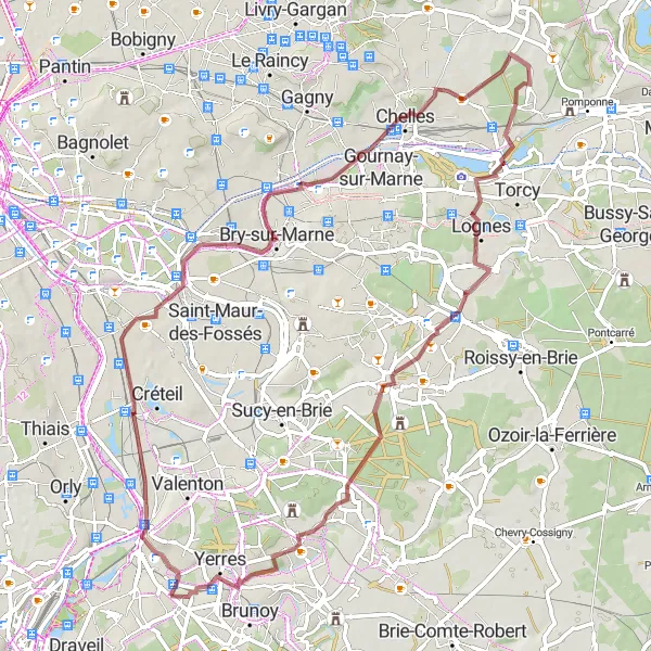
Escape the city and get off the beaten path with this exciting gravel cycling route. With a distance of 72km and 294 meters of ascent, you'll traverse the scenic landscapes of Villeneuve-Saint-Georges, Table d'Orientation, Noisy-le-Grand, Lognes, and Yerres. This route is suitable for gravel bikes and offers a great challenge for well-trained amateurs.
gravel
72 km
294 m
Tough
Route profile
Highlights on the route
0 km
0 km
Start: Montgeron City centerMontgeron: Tracing the roots of the Tour de France in Montgeron
Montgeron is a small town in the Ile-de-France region of France, known for its rich cycling history. As a road and gravel cyclist, you will enjoy riding on the same roads where the first Tour de France started in 1903. Montgeron offers a mix of flat and hilly terrains, with picturesque countryside and charming villages to discover. This town is a must-visit for cycling enthusiasts and history buffs alike.3 km
3 km
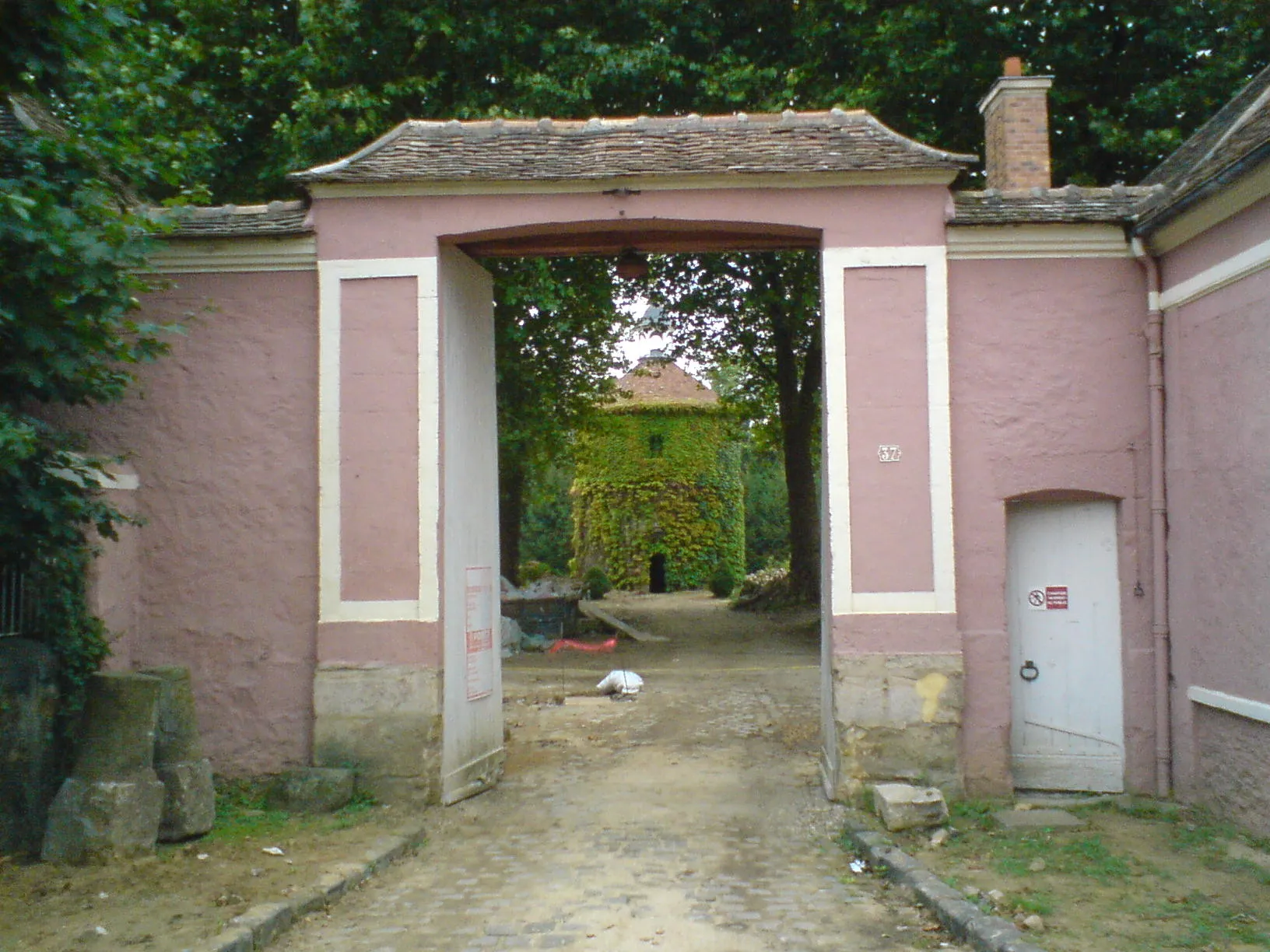
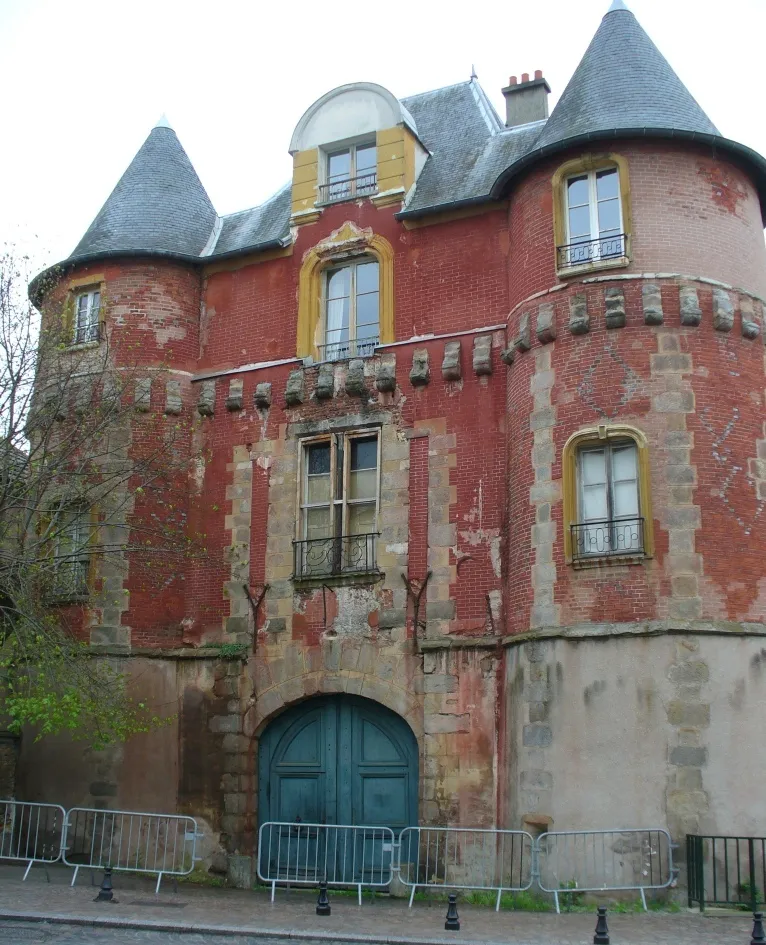
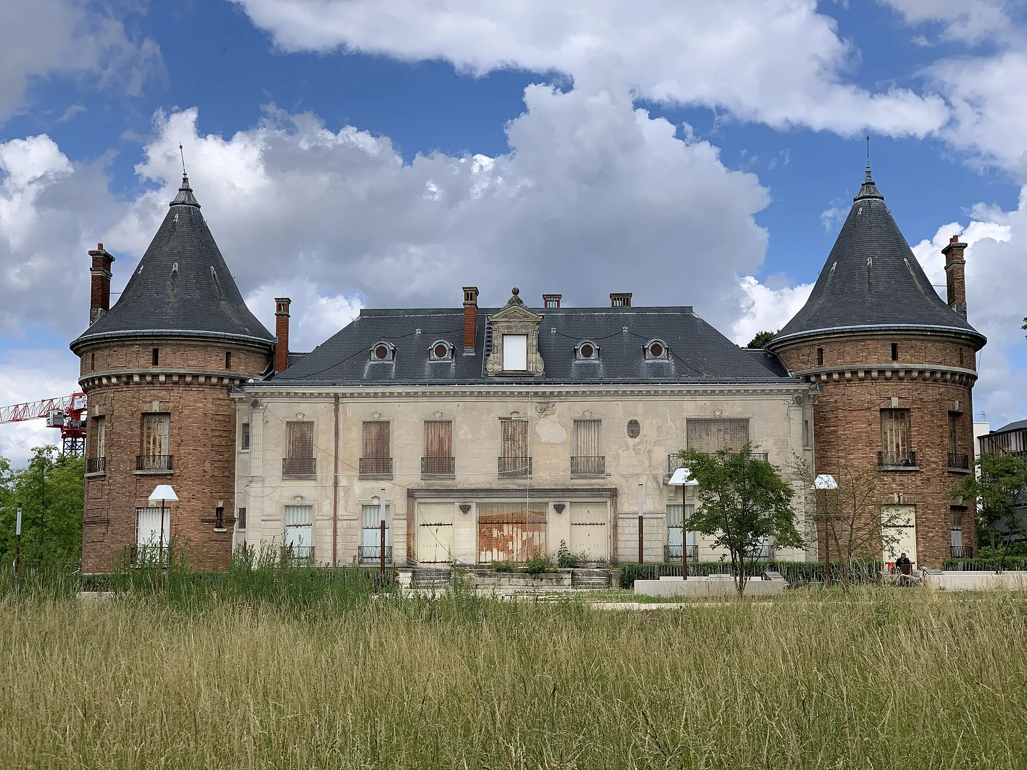
Villeneuve-Saint-GeorgesTownExplore the charming town of Villeneuve-Saint-Georges with its historic architecture and picturesque streets.
8 km
8 km
Table d'OrientationViewpointClimb up to the Table d'Orientation viewpoint and enjoy panoramic views of the surrounding countryside.
26 km
26 km
Noisy-le-GrandTownPass through the lively town of Noisy-le-Grand and admire its modern architecture and vibrant atmosphere.
47 km
47 km
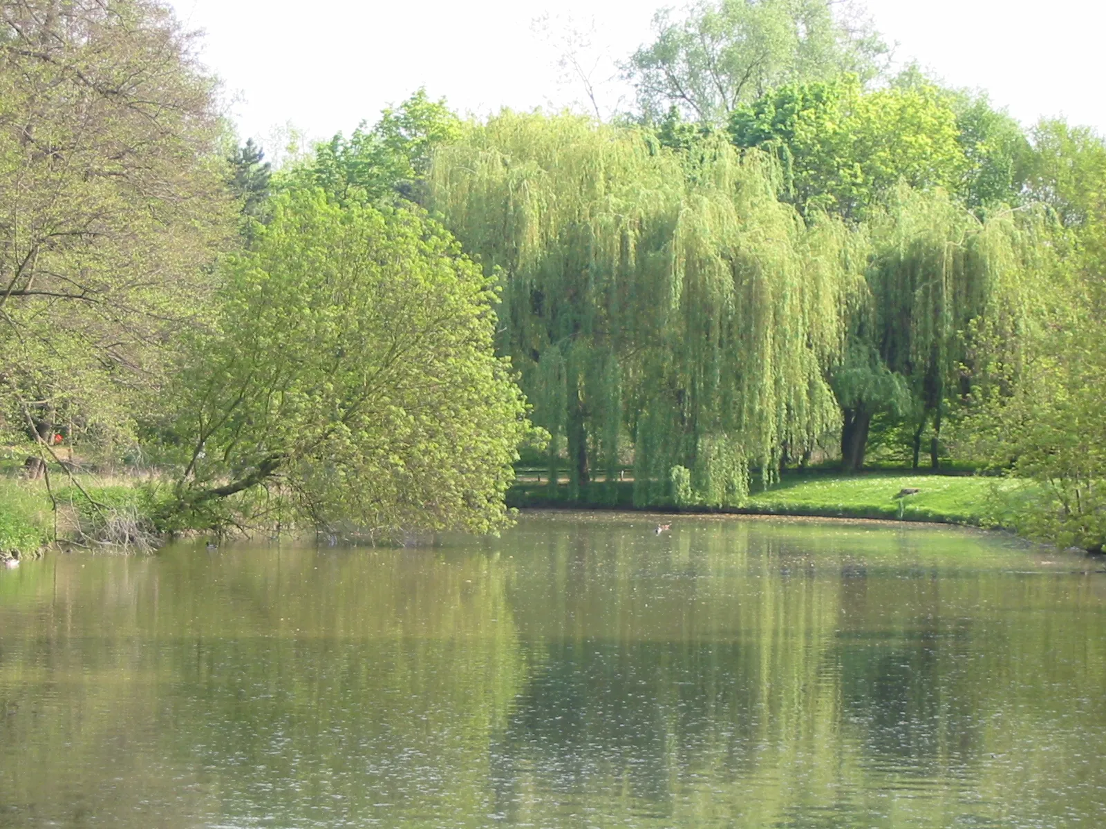
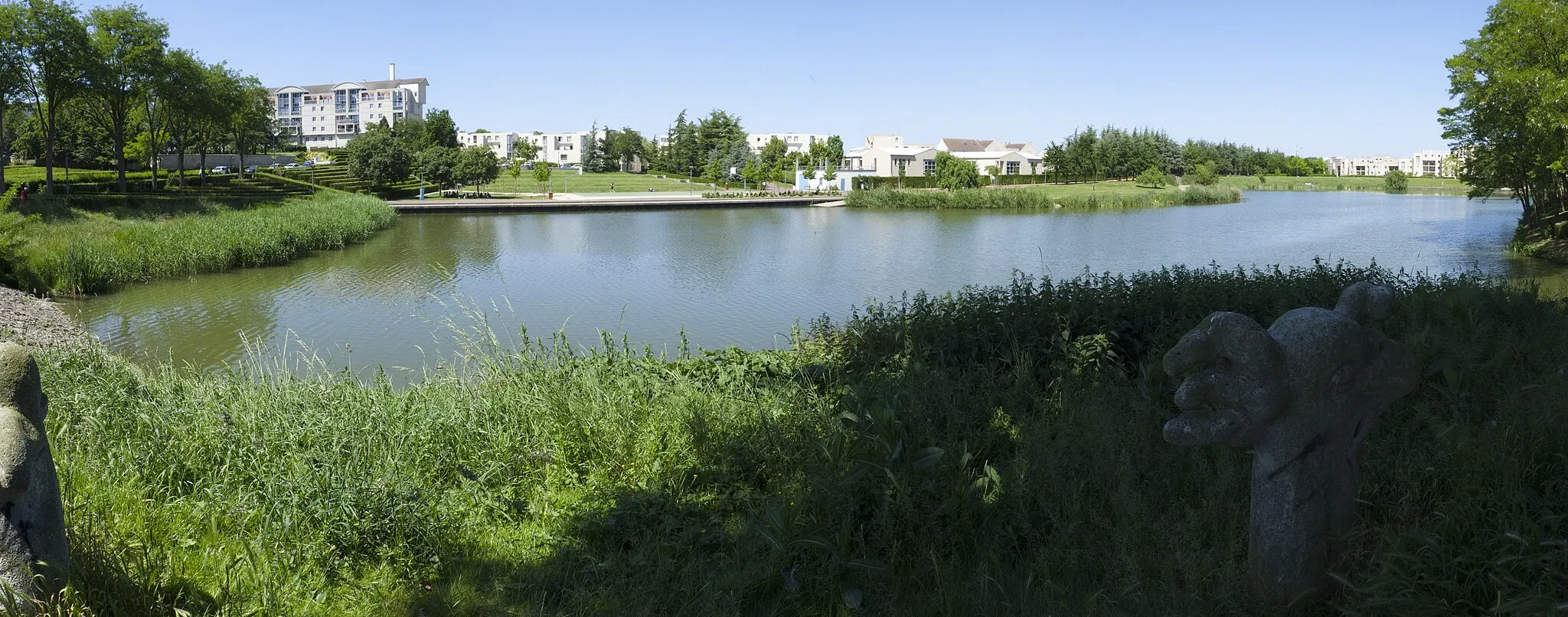
LognesTownMake a quick stop in Lognes and relax by the beautiful lakeside.
70 km
70 km
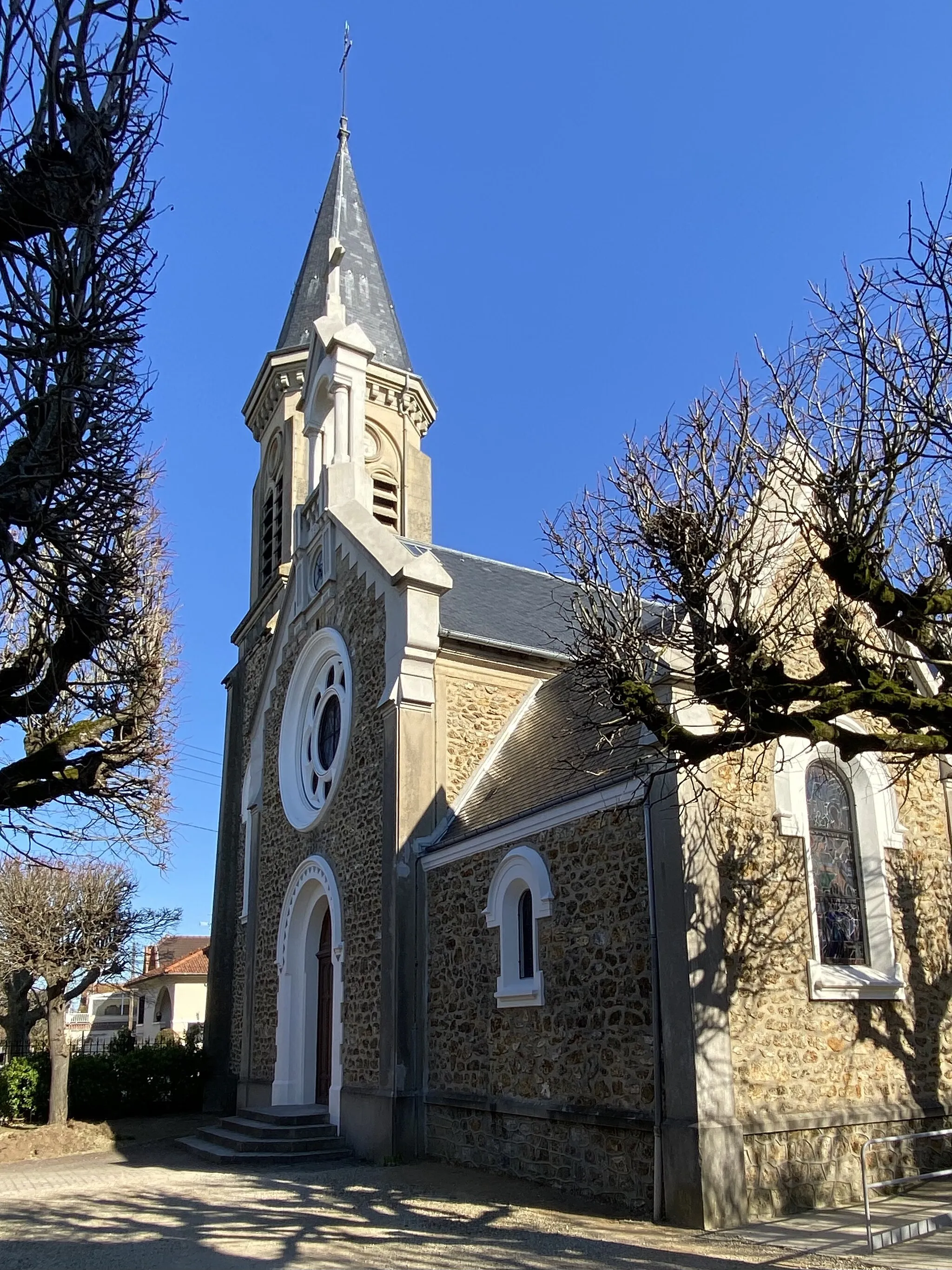
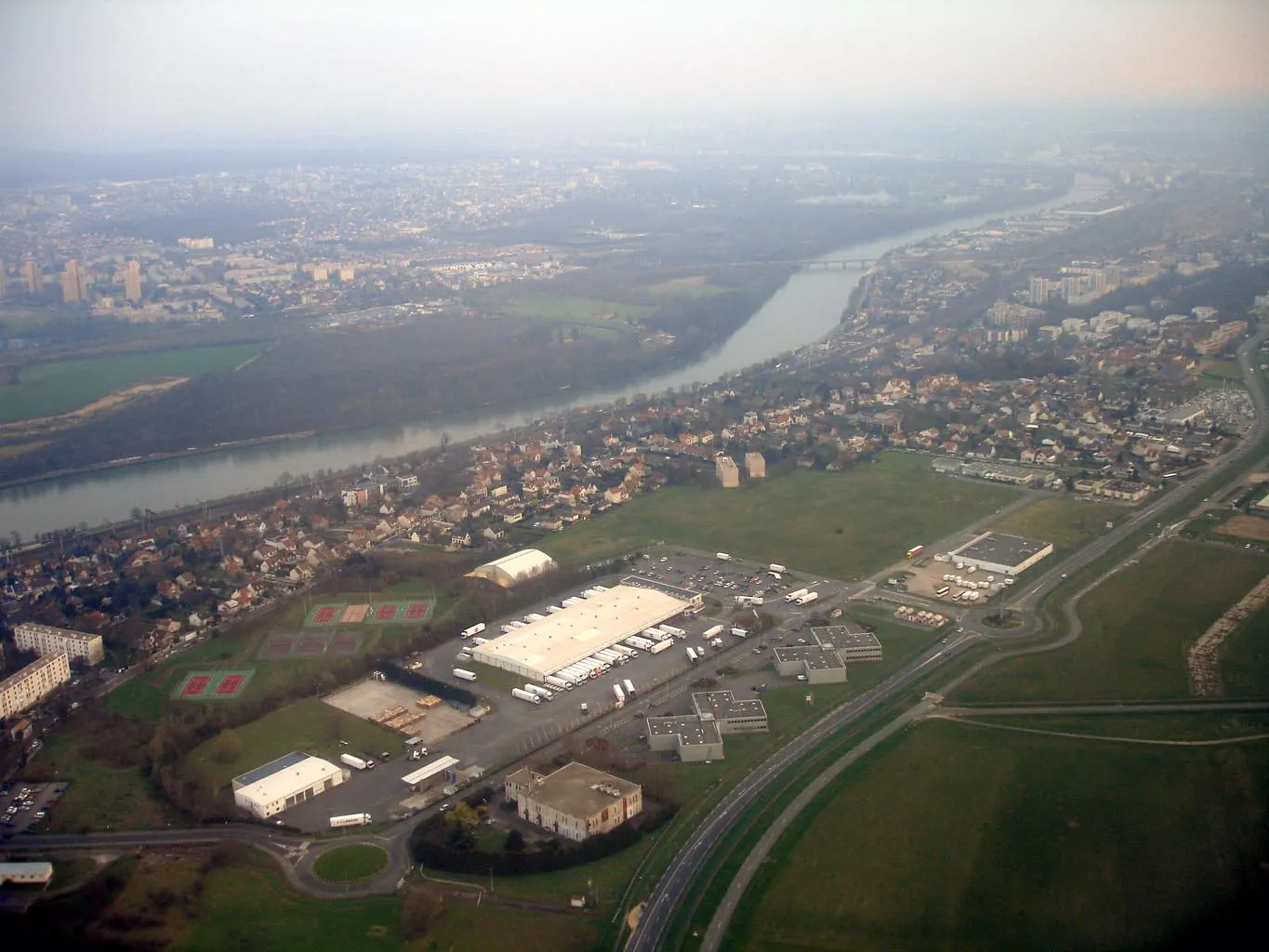
YerresTownEnd your journey in Yerres, known for its charming riverside promenade and historic buildings.
72 km
72 km
Finish: Montgeron City centerMontgeron: Tracing the roots of the Tour de France in Montgeron
Cycling routes nearby: