The Hilly Challenge
A road cycling route starting from Montgeron
Take on the challenge of the hilly terrain on this road cycling route near Montgeron
Map
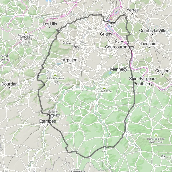
Get ready for a thrilling ride on this hilly road cycling route in the Ile-de-France region. With a distance of 130km and 909 meters of ascent, you'll conquer the slopes of Corbeil-Essonnes, Auvernaux, Gironville-sur-Essonne, Étampes, Souzy-la-Briche, Villejust, Juvisy-sur-Orge, and Le Moustier. This route is recommended for experienced cyclists with good climbing abilities.
road
130 km
909 m
Tough
Route profile
Highlights on the route
0 km
0 km
Start: Montgeron City centerMontgeron: Tracing the roots of the Tour de France in Montgeron
Montgeron is a small town in the Ile-de-France region of France, known for its rich cycling history. As a road and gravel cyclist, you will enjoy riding on the same roads where the first Tour de France started in 1903. Montgeron offers a mix of flat and hilly terrains, with picturesque countryside and charming villages to discover. This town is a must-visit for cycling enthusiasts and history buffs alike.12 km
12 km
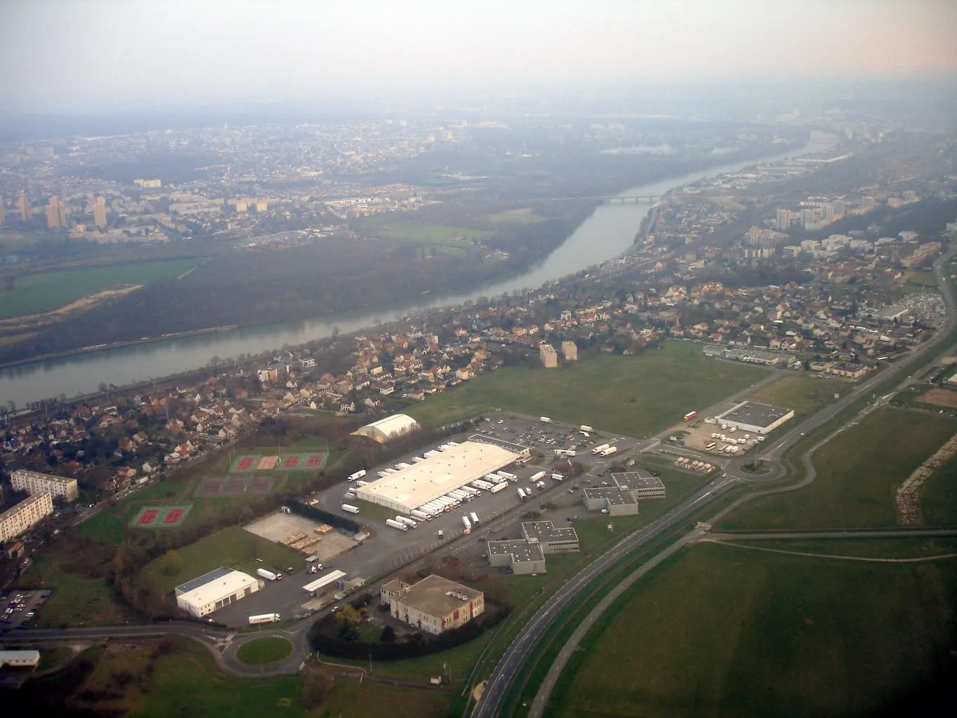
Corbeil-EssonnesTownPass through Corbeil-Essonnes, a town known for its beautiful riverfront promenade and historic buildings.
22 km
22 km
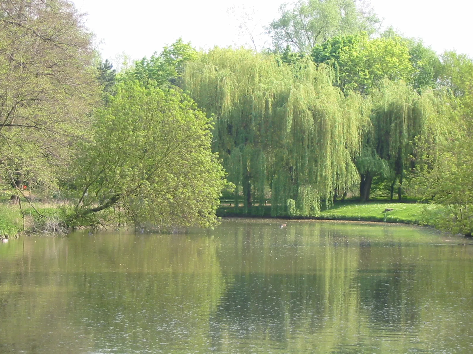
AuvernauxVillageCycle through the picturesque village of Auvernaux and enjoy its tranquil atmosphere and charming architecture.
45 km
45 km
Gironville-sur-EssonneVillageMake a stop in Gironville-sur-Essonne and admire its well-preserved medieval castle and scenic surroundings.
69 km
69 km
ÉtampesTownConquer the challenging climb to Étampes and be rewarded with breathtaking views from its hilltop castle.
83 km
83 km
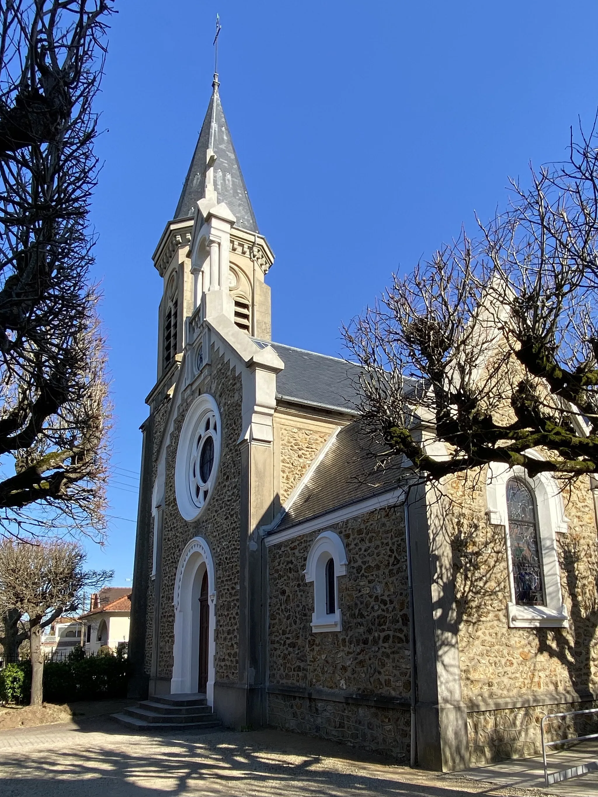
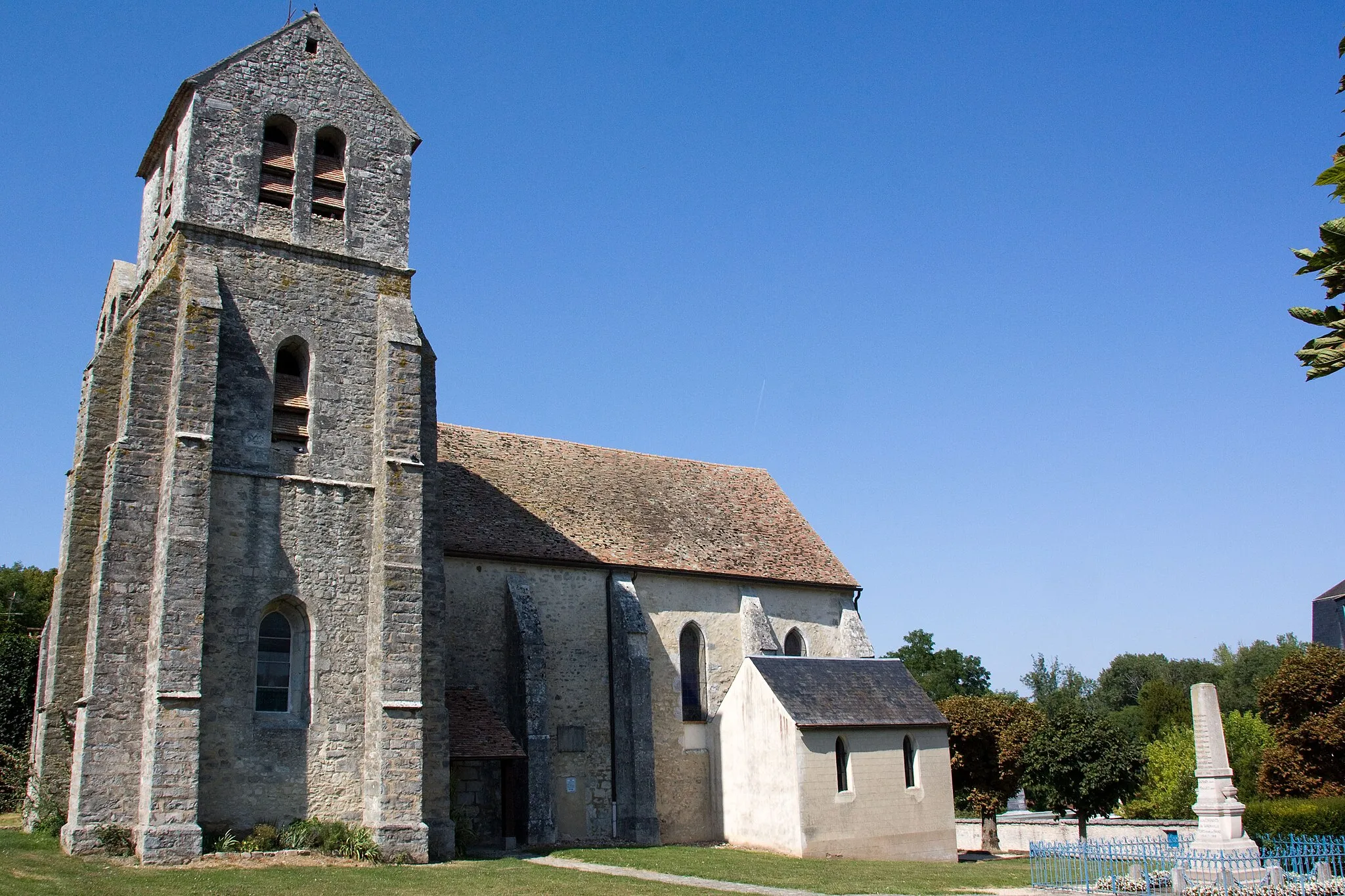
Souzy-la-BricheVillageExplore Souzy-la-Briche and discover its historic church nestled among the rolling hills of the countryside.
108 km
108 km
VillejustVillagePass through Villejust, a town renowned for its beautiful parks and gardens.
122 km
122 km
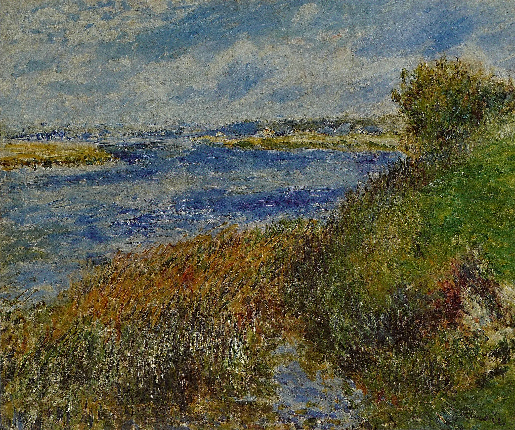
Vue des Vallées de l'Orge et de la SeineViewpointMarvel at the stunning vistas of the Orge and Seine Valleys from the panoramic viewpoint.
122 km
122 km
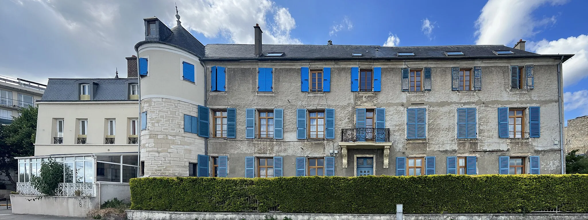
Juvisy-sur-OrgeTownCycle through Juvisy-sur-Orge and admire its impressive Town Hall building and lively city center.
130 km
130 km
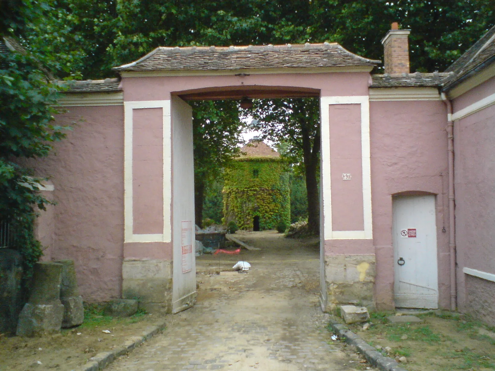
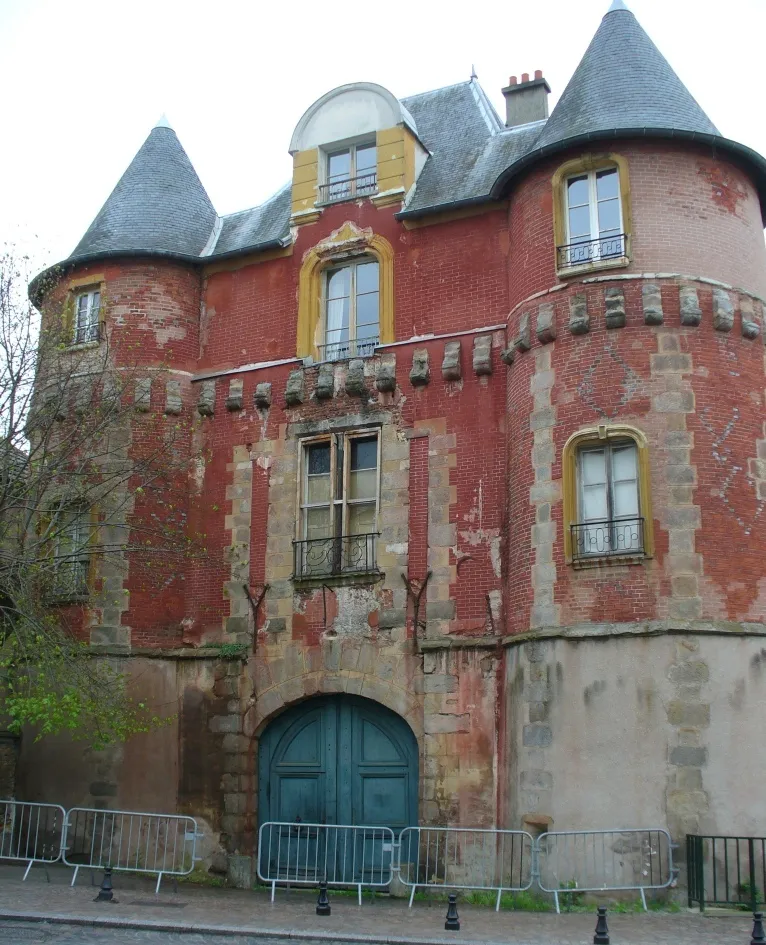
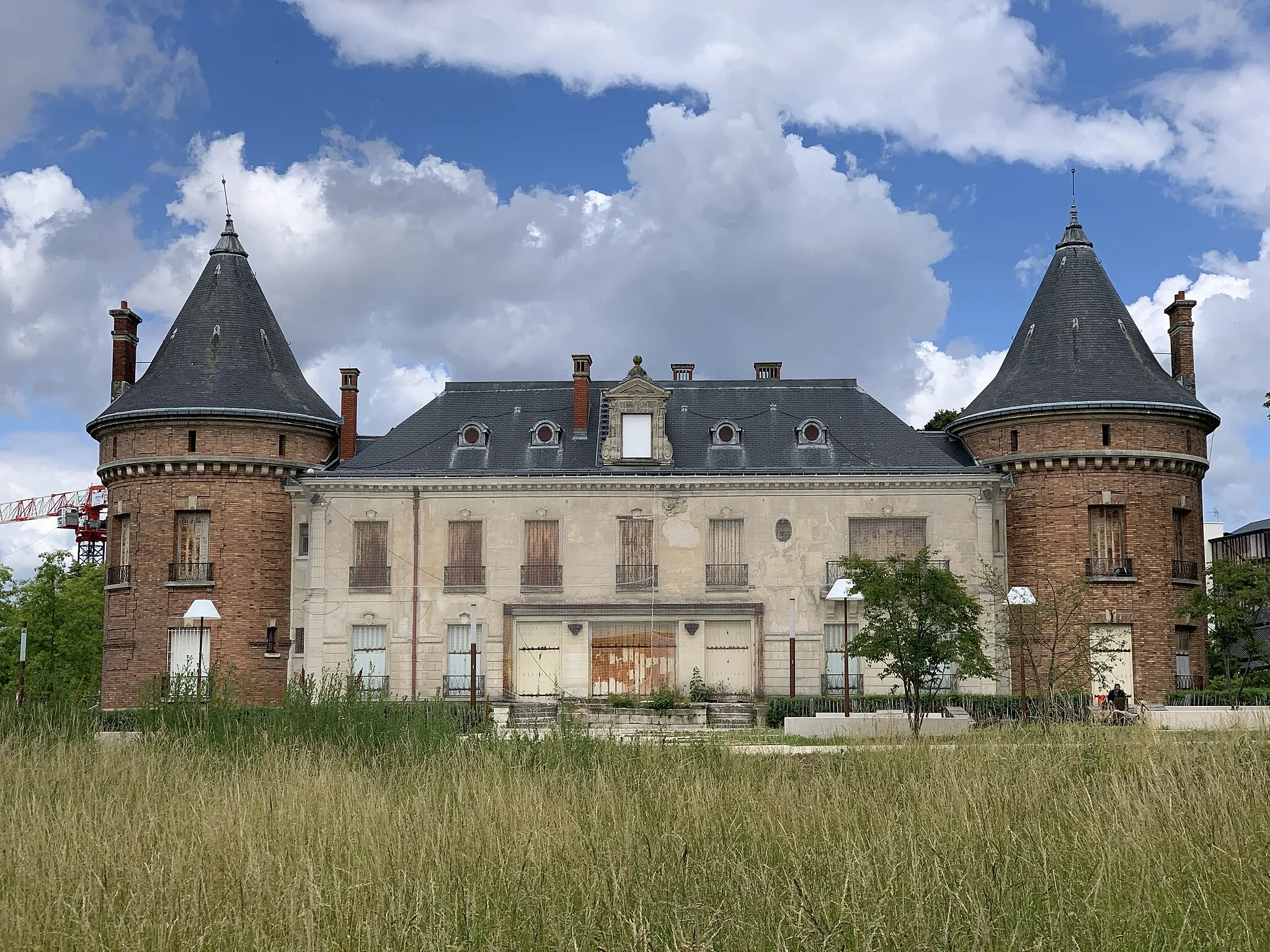
Le MoustierCastleReach the top of Le Moustier, a renowned climbing spot for cyclists seeking epic challenges.
130 km
130 km
Finish: Montgeron City centerMontgeron: Tracing the roots of the Tour de France in Montgeron
Cycling routes nearby: