Scenic Road Ride
A road cycling route starting from Raon-l'Etape
Enjoy scenic landscapes and cultural stops on this road cycling route.
Map
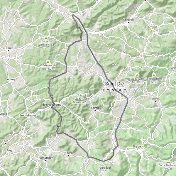
This road cycling route near Raon-l'Étape showcases the natural beauty and cultural heritage of Lorraine. With a total ascent of 870 meters over a distance of 76 kilometers, this route is suitable for intermediate cyclists. The ride takes you through picturesque villages and scenic landscapes. Highlights along the route include Tête de Saint-Roch, Saint-Dié-des-Vosges, Col du Plafond, Corcieux, Bois-de-Champ, Étival-Clairefontaine, and the Table d'orientation viewpoint.
road
76 km
870 m
Tough
Route profile
Highlights on the route
0 km
0 km
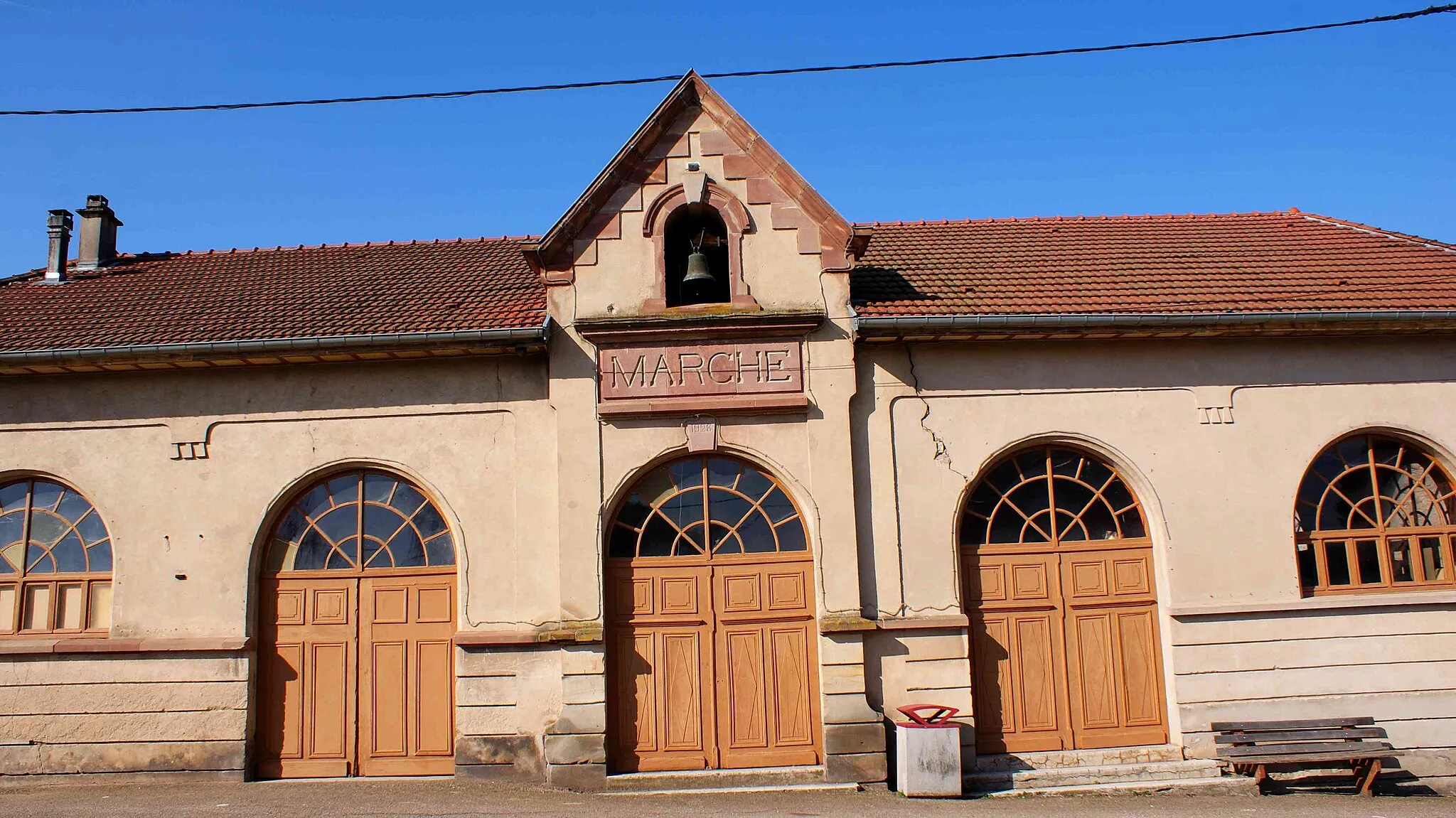
Start: Raon-l'Étape Village centerRaon-l'Étape: Discover diverse cycling routes and soak in the tranquility of Raon-l'Étape.
Raon-l'Étape is a quaint locality situated in the Lorraine region of France. As a road and gravel cyclist, you will appreciate the diverse terrain offered in this area. From hilly landscapes to flatter sections, there are routes to suit all preferences. The charm of Raon-l'Étape lies in its peaceful atmosphere and scenic surroundings, making it an enjoyable destination for cycling enthusiasts. The locality earns a 3 on the cycling-friendly scale.14 km
14 km
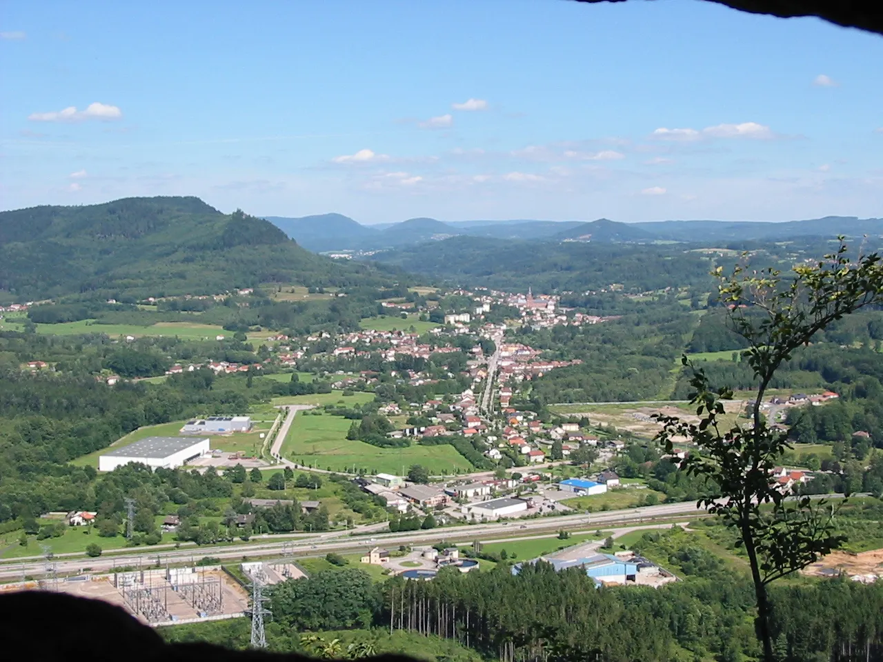
Tête de Saint-Roch469 mPeakMarvel at the panoramic views from Tête de Saint-Roch, a mountain peak overlooking the countryside.
16 km
16 km
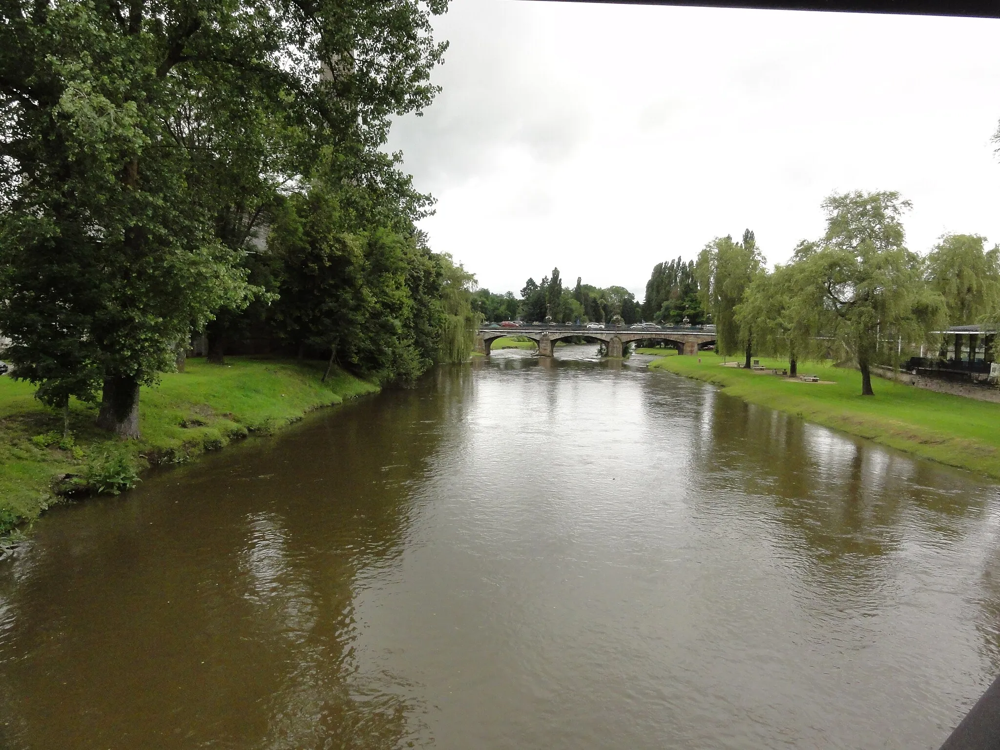
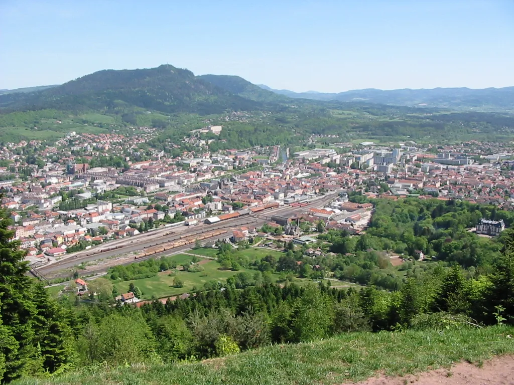
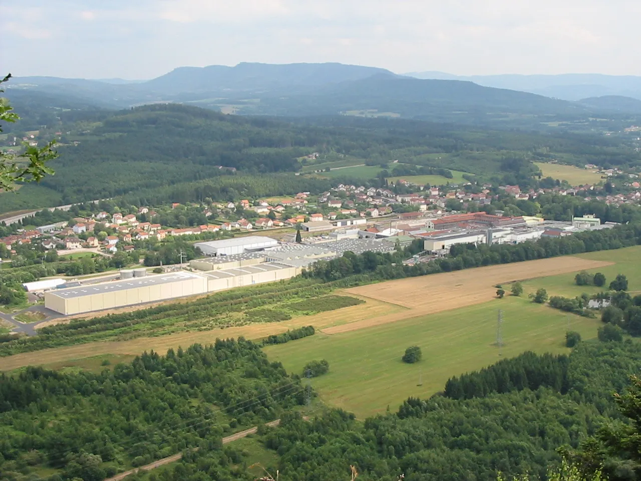
Saint-Dié-des-VosgesTownVisit Saint-Dié-des-Vosges, a charming city rich in history and culture.
34 km
34 km
Col du Plafond620 mMountain PassChallenge yourself with the climb up Col du Plafond and enjoy stunning views from the top.
37 km
37 km
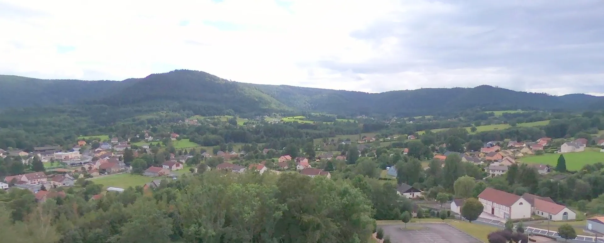
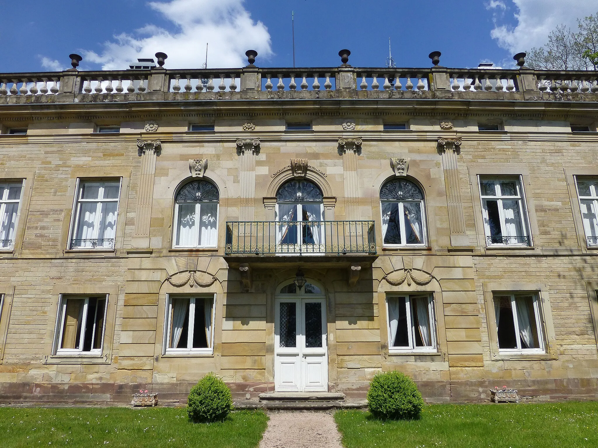
CorcieuxVillageStop in Corcieux and explore its quaint streets and alleys.
52 km
52 km
Bois-de-ChampVillagePass through Bois-de-Champ, a small village surrounded by beautiful natural landscapes.
70 km
70 km
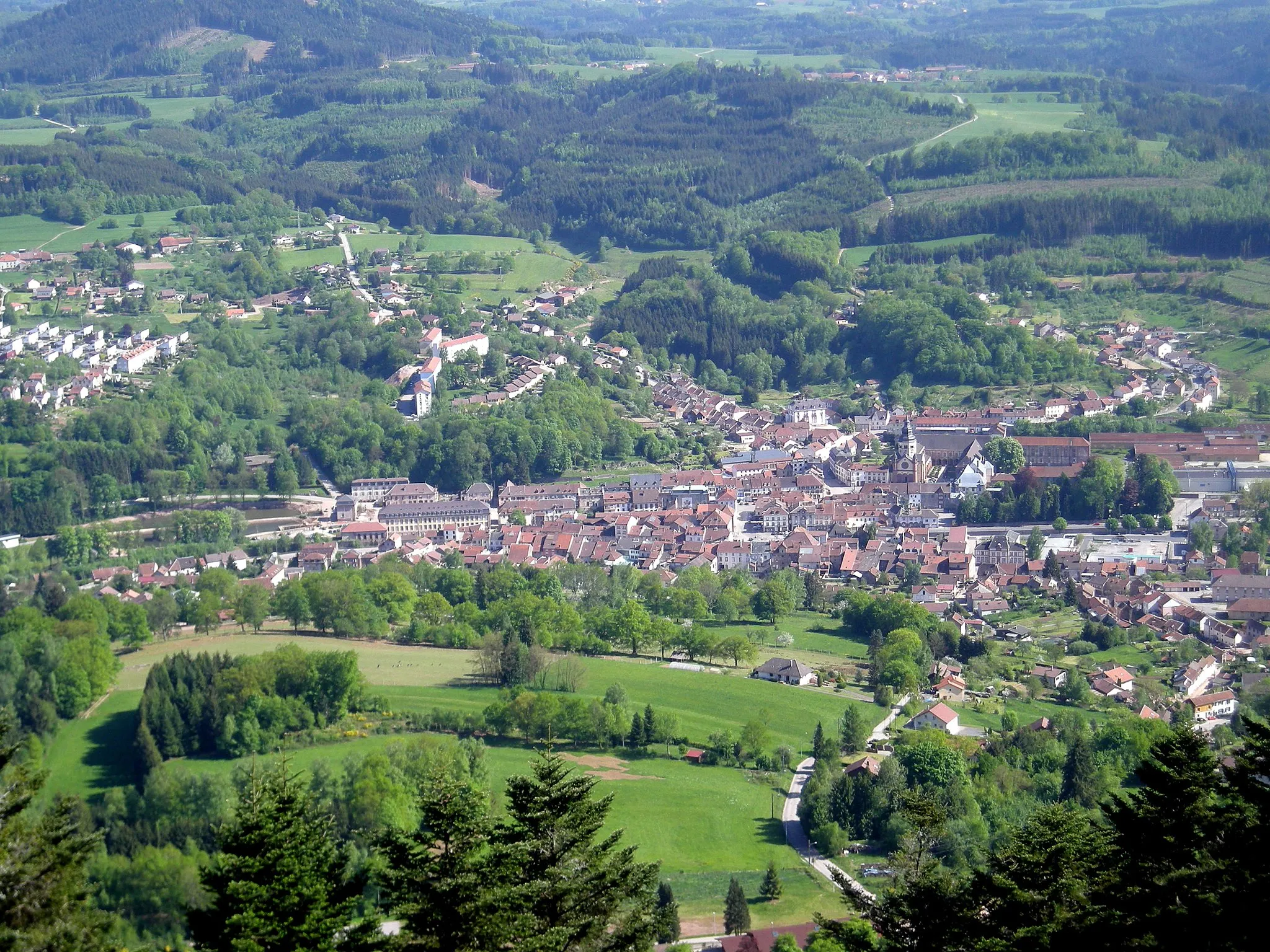
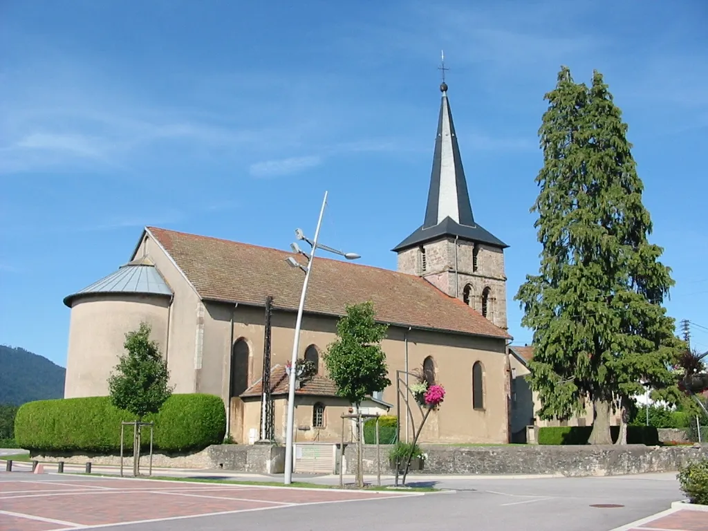
Étival-ClairefontaineVillageCycle through Étival-Clairefontaine and admire its picturesque abbey.
75 km
75 km
Table d'orientationViewpointMake sure to visit the Table d'orientation, a viewpoint offering panoramic vistas of the area.
76 km
76 km
Finish: Raon-l'Étape Village centerRaon-l'Étape: Discover diverse cycling routes and soak in the tranquility of Raon-l'Étape.
Cycling routes from Raon-l'Etape:
Cycling routes nearby: