The Forest Trail to Biffontaine
A road cycling route starting from Saint-Michel-sur-Meurthe
Explore the enchanting forests on this road cycling route to Biffontaine
Map
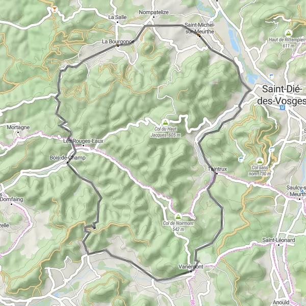
Immerse yourself in nature on this 47-kilometer road cycling route through the enchanting forests of Biffontaine. With a total ascent of 620 meters, this route is perfect for cyclists seeking tranquility and natural beauty. The Forest Trail to Biffontaine takes you on a scenic journey through picturesque villages and offers breathtaking views of the majestic forests.
road
47 km
620 m
Chill
Route profile
Highlights on the route
0 km
0 km
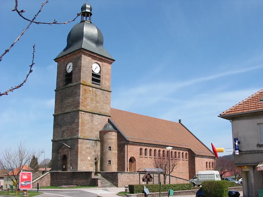
Start: Saint-Michel-sur-Meurthe Village centerSaint-Michel-sur-Meurthe: The ultimate cycling retreat in Saint-Michel-sur-Meurthe, Lorraine.
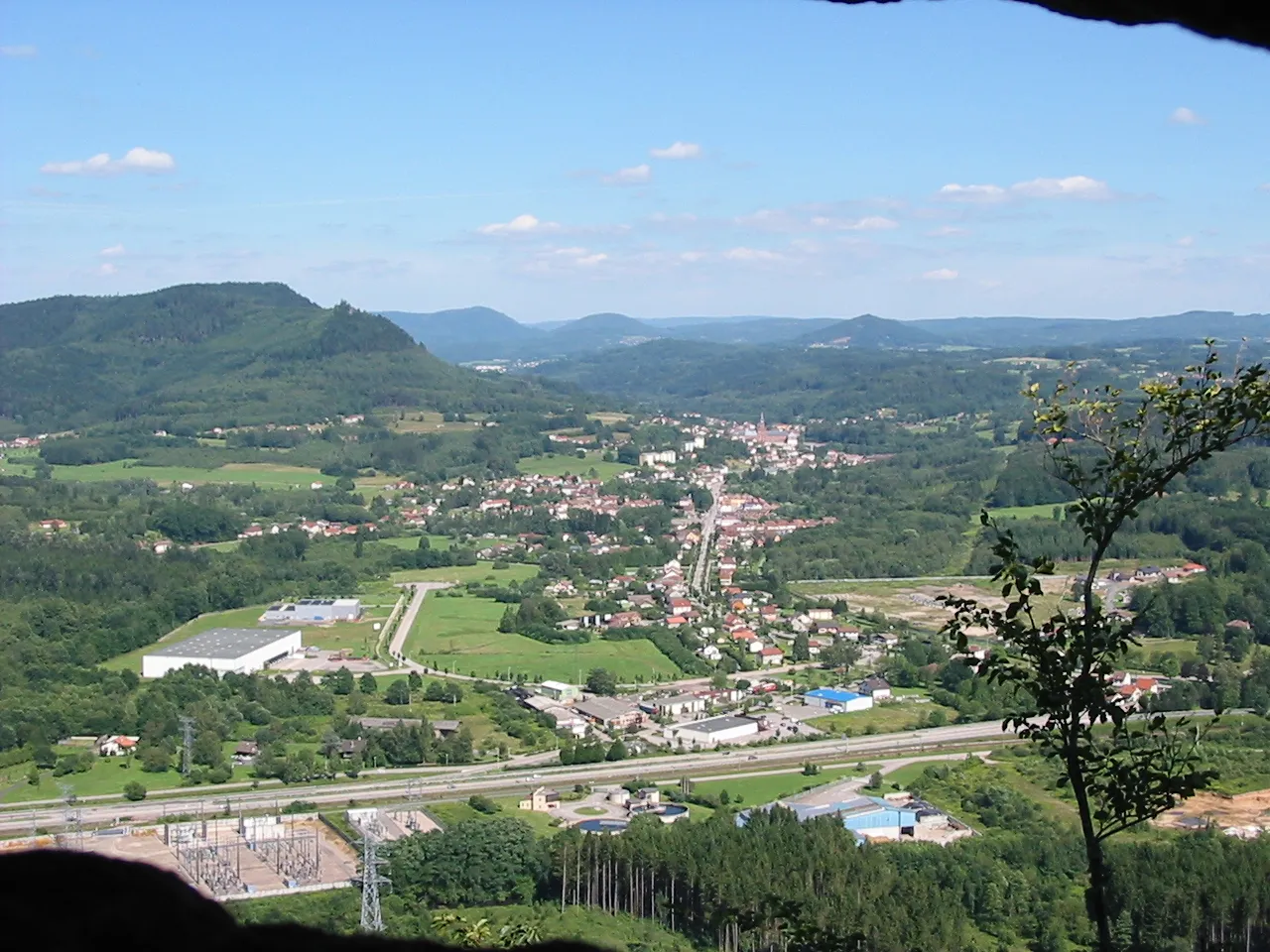
Saint-Michel-sur-Meurthe, nestled in the region of Lorraine, France, is a hidden gem for both road and gravel cyclists. The locality offers an abundance of quiet and scenic roads that wind through rolling hills and charming villages. Cyclists can enjoy the tranquility of the countryside while immersing themselves in the rich natural beauty of the area. Nearby, the Col du Bonhomme is a well-known climb that challenges cyclists with its steep gradients and rewarding views at the summit.3 km
3 km
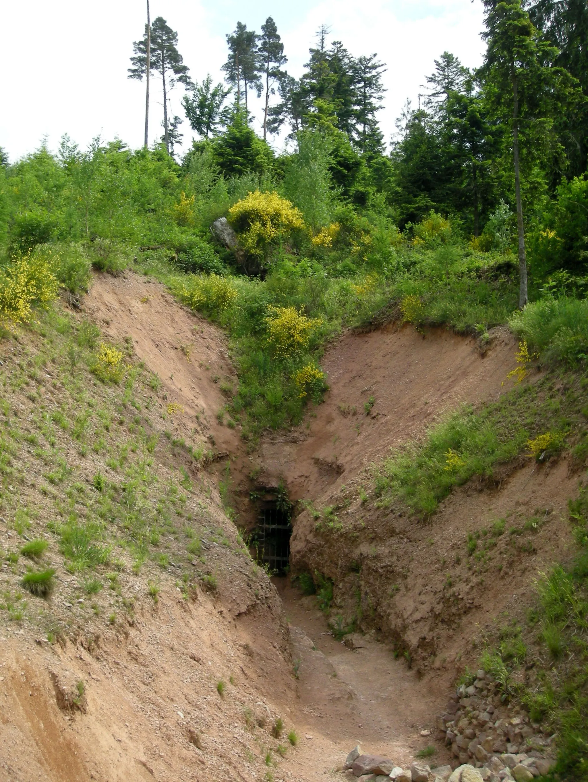
Roches du BihayViewpointMarvel at the impressive Roches du Bihay, a series of ancient rock formations located in a secluded area of the Vosges.
10 km
10 km
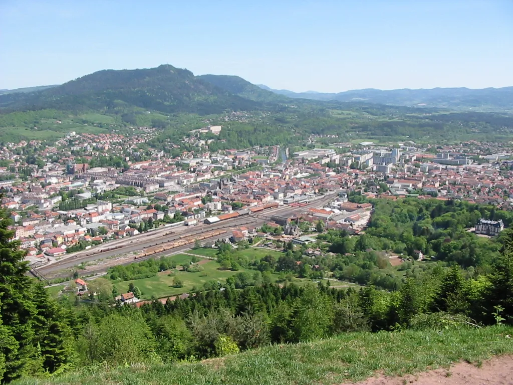
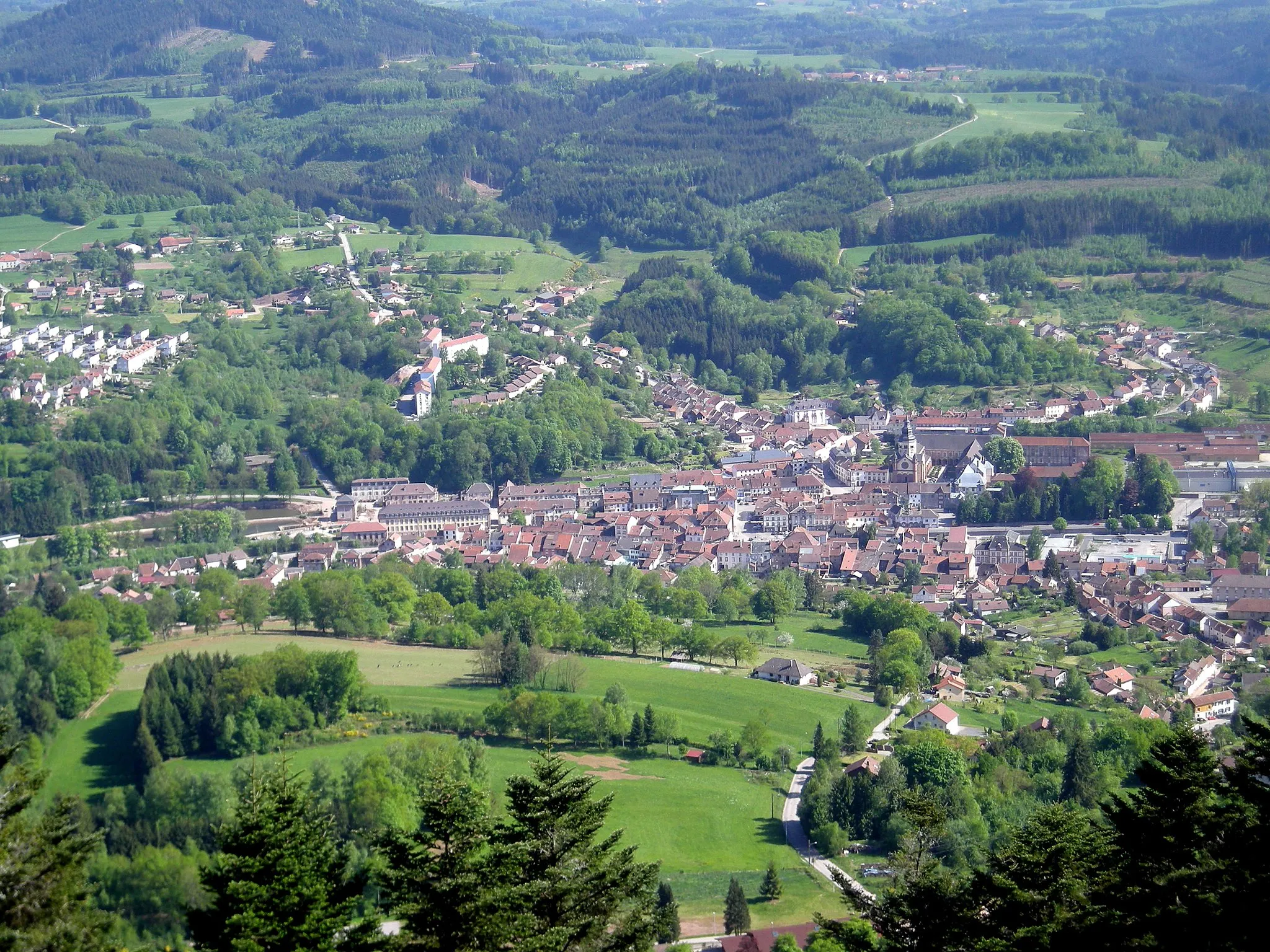
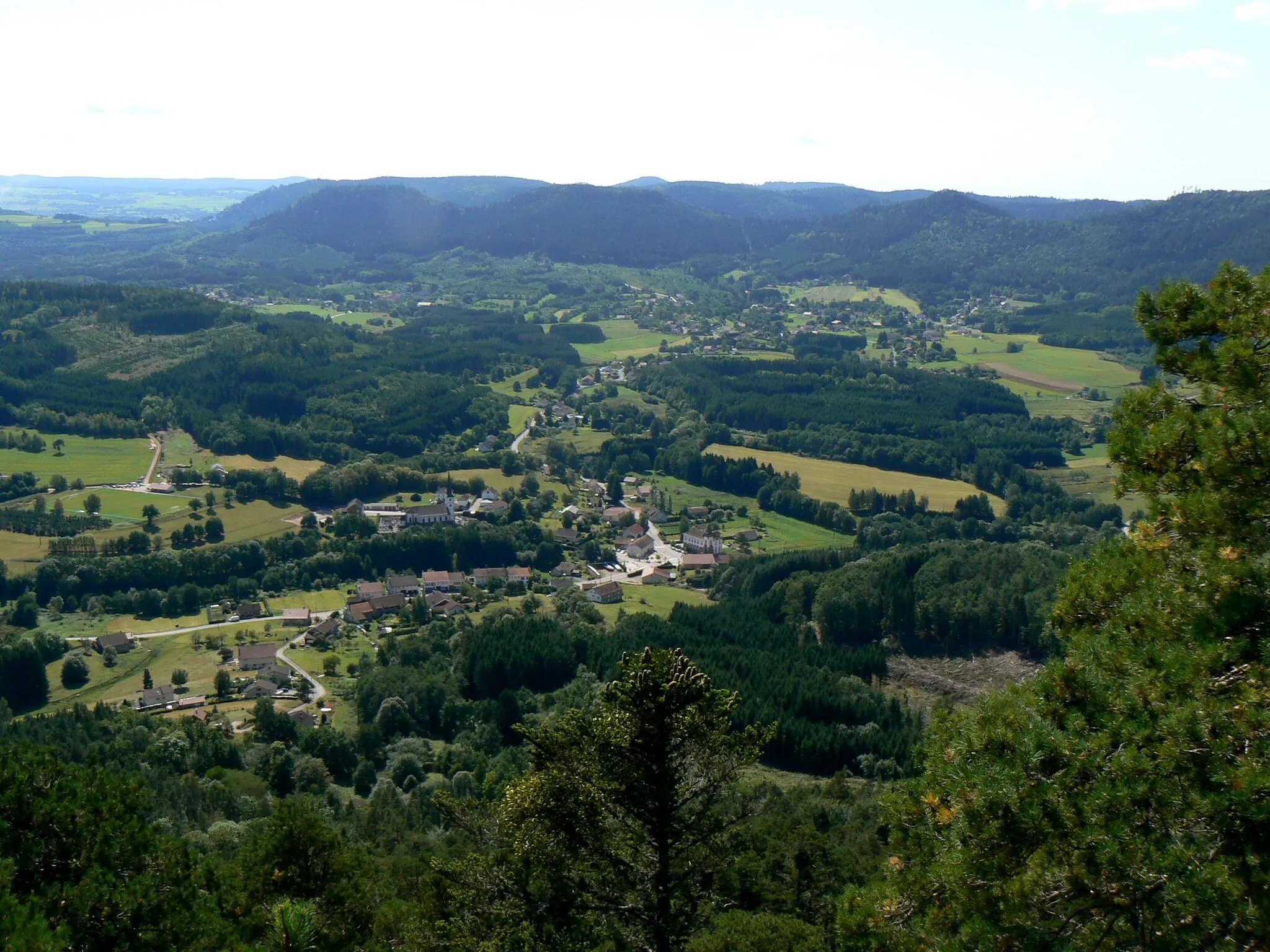
TaintruxVillageStop in Taintrux, a charming village surrounded by lush green forests and rolling hills.
24 km
24 km
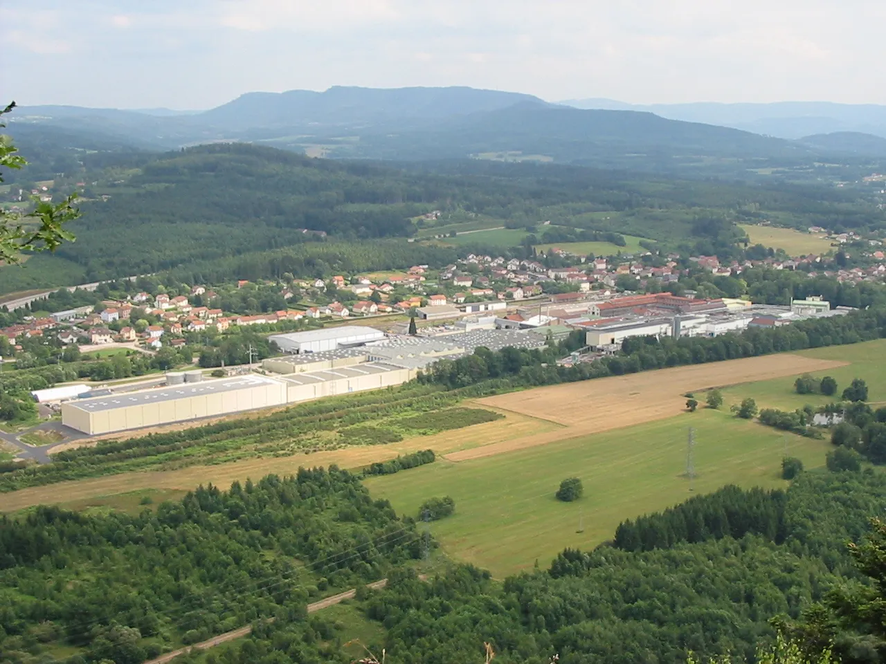
BiffontaineVillagePass through Biffontaine, a small village known for its beautiful hiking trails and peaceful atmosphere.
31 km
31 km
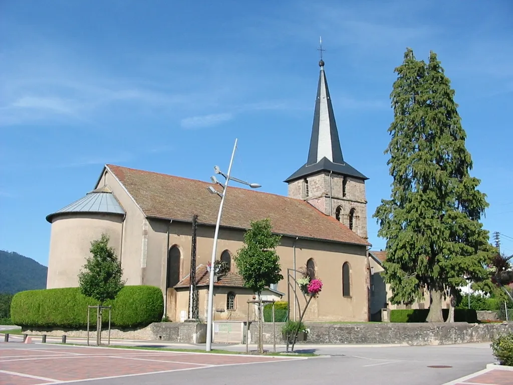
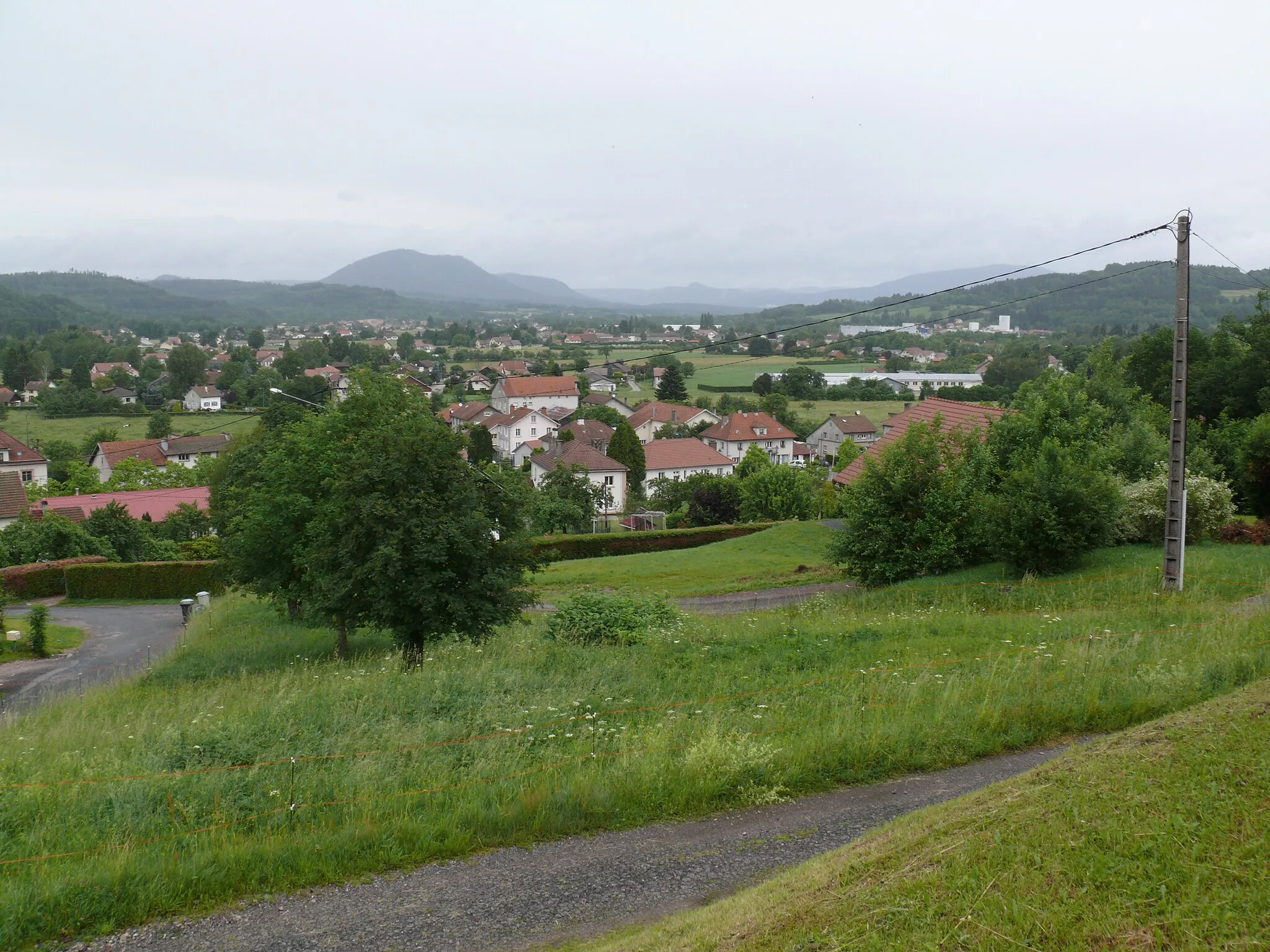
Bois-de-ChampVillageExplore Bois-de-Champ, a small forested area offering peaceful and scenic cycling routes.
43 km
43 km
Petit jumeau521 mPeakVisit Petit Jumeau, a quaint village with traditional architecture and a tranquil ambiance.
47 km
47 km
Finish: Saint-Michel-sur-Meurthe Village centerSaint-Michel-sur-Meurthe: The ultimate cycling retreat in Saint-Michel-sur-Meurthe, Lorraine.
Cycling routes from Saint-Michel-sur-Meurthe:
Exploring the Gravel Roads of Lorraine The Forest Trail to Biffontaine Gravel Adventure in the Vosges Mountains Challenging Gravel Loop in the Vosges Mountains Gravel Adventure in the Vosges Road Cycling Adventure in the Vosges Ultimate Vosges Challenge The Hidden Gems of Bertrichamps The Vosges Mistral Route The Meurthe Valley Gravel Route
Cycling routes nearby: