Picardie Gravel Adventure
A gravel cycling route starting from Fleurines
Explore the picturesque gravel routes of Picardie.
Map
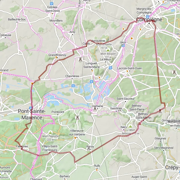
Embark on this 72 km gravel adventure starting near Fleurines in Picardie, France. Experience the beauty of the region as you ride through scenic landscapes and charming villages. With a total ascent of 436 m, this route provides a moderate challenge for well-trained amateurs. Take in the highlights along the way, including the historic Pont-Sainte-Maxence, the quaint village of Canly, and the captivating Mont d'Huette.
gravel
72 km
436 m
Tough
Route profile
Highlights on the route
0 km
0 km
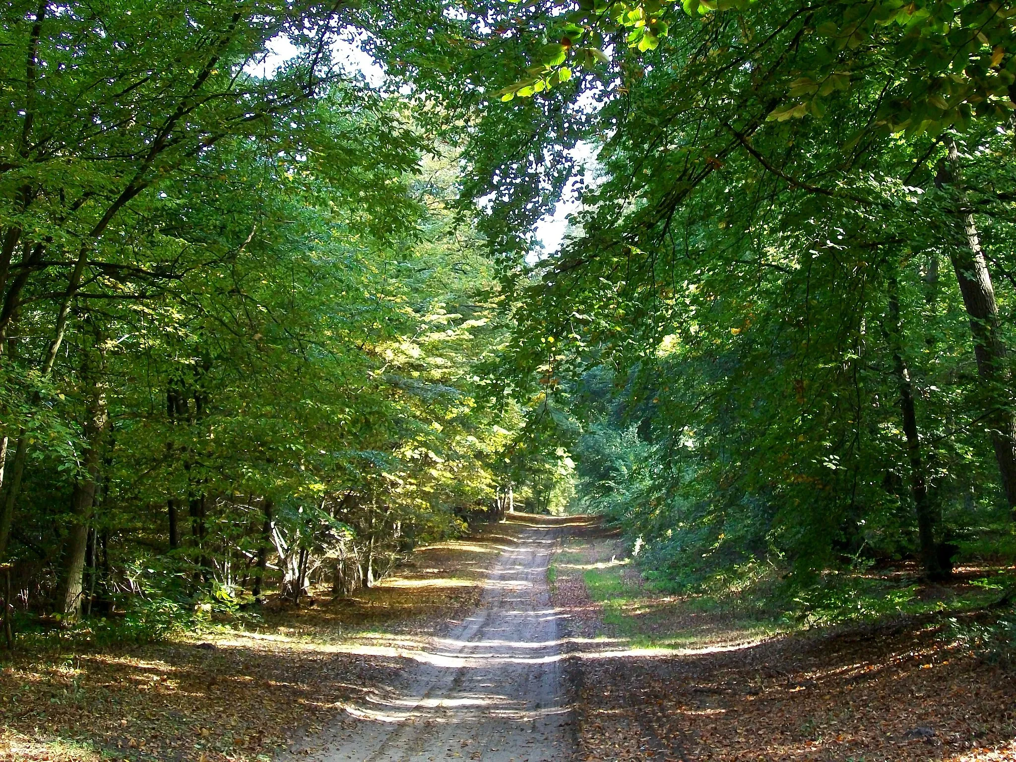
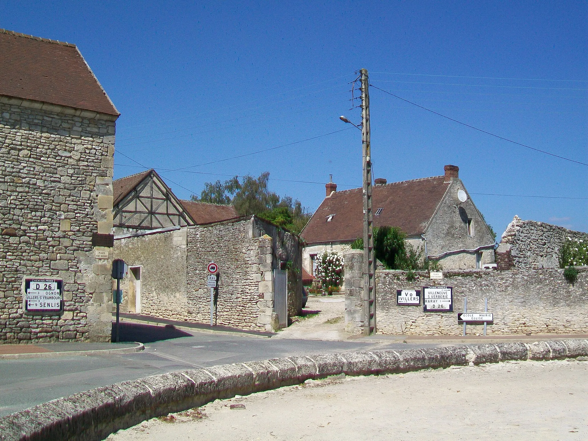
Start: Fleurines Village centerFleurines: Scenic Cycling in Picardie
Fleurines is a locality in France, specifically in Picardie. Cycling enthusiasts will find Fleurines to be a charming and scenic destination. The region offers a variety of roads and trails that are suitable for both road and gravel cyclists. Cyclists can enjoy the beautiful French countryside, passing through idyllic villages and rolling hills. Fleurines is also located near the iconic Chantilly Forest, providing cyclists with the opportunity to explore its enchanting beauty. Overall, Fleurines offers a delightful and enjoyable cycling experience, with its peaceful surroundings and stunning landscapes.6 km
6 km
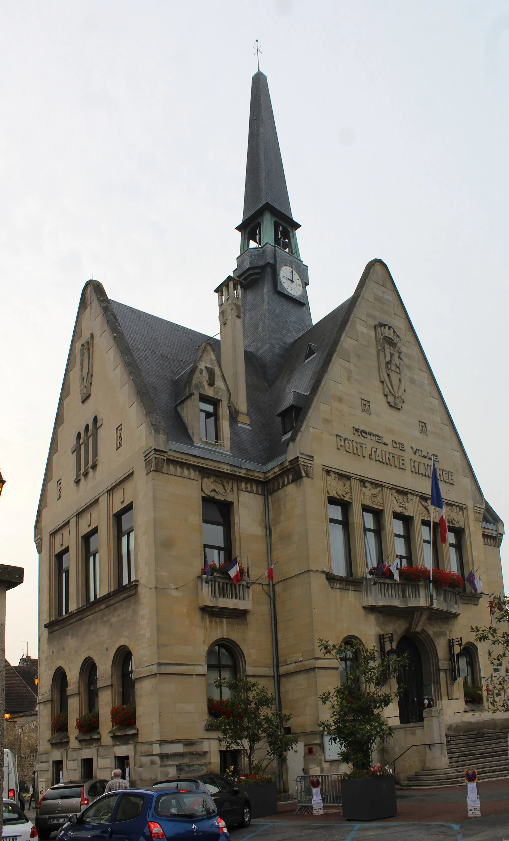
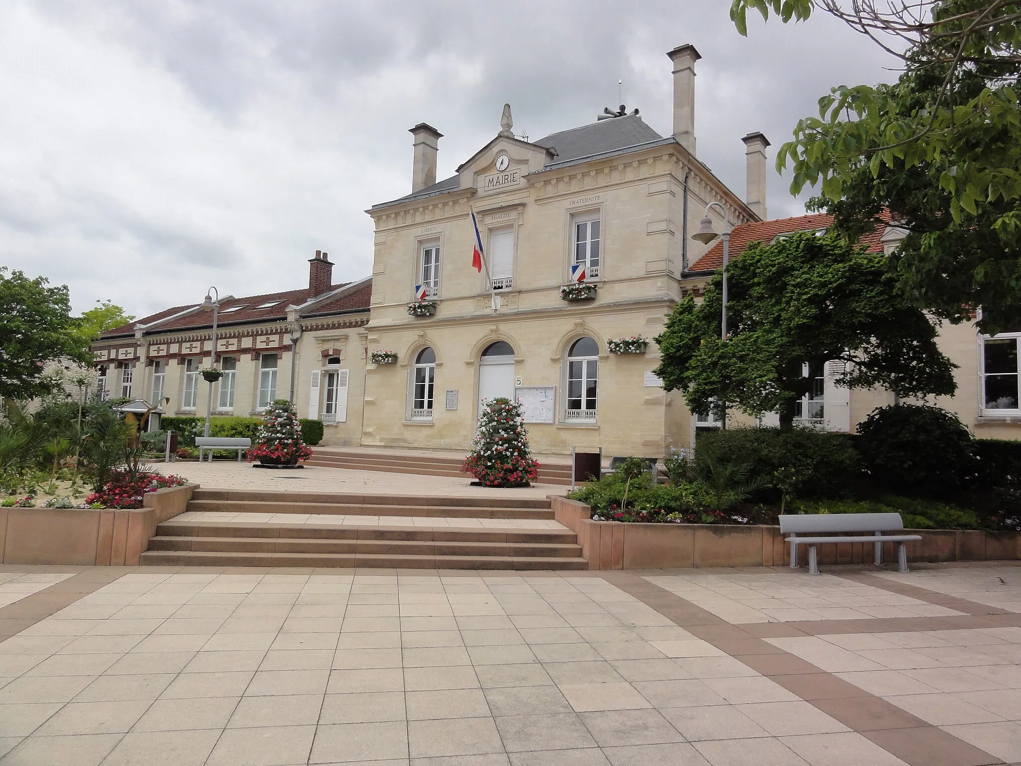
Pont-Sainte-MaxenceTownStop by Pont-Sainte-Maxence and marvel at its impressive architecture.
21 km
21 km
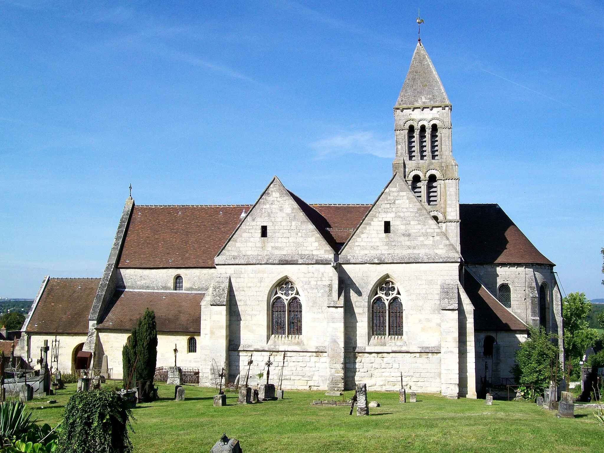
CanlyVillageDiscover the hidden gem of Canly, with its charming streets and historic buildings.
24 km
24 km
Mont d'Huette151 mPeakClimb the challenging Mont d'Huette, enjoying breathtaking views from the top.
33 km
33 km
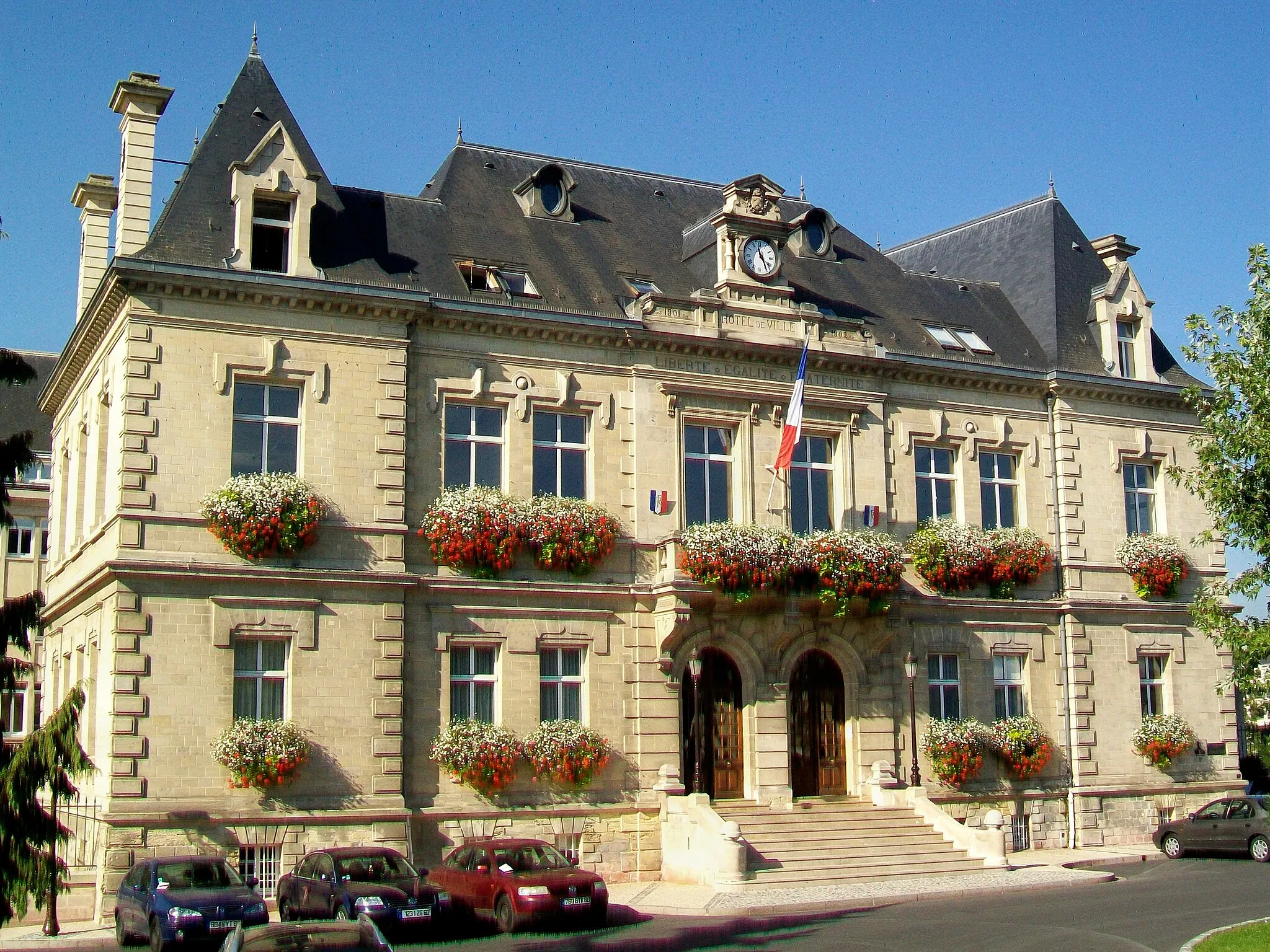
CompiègneTownExplore the city of Compiègne and visit its famous château.
53 km
53 km
Le Mont Béthizay115 mPeakAdmire the panoramic views from Le Mont Béthizay.
55 km
55 km
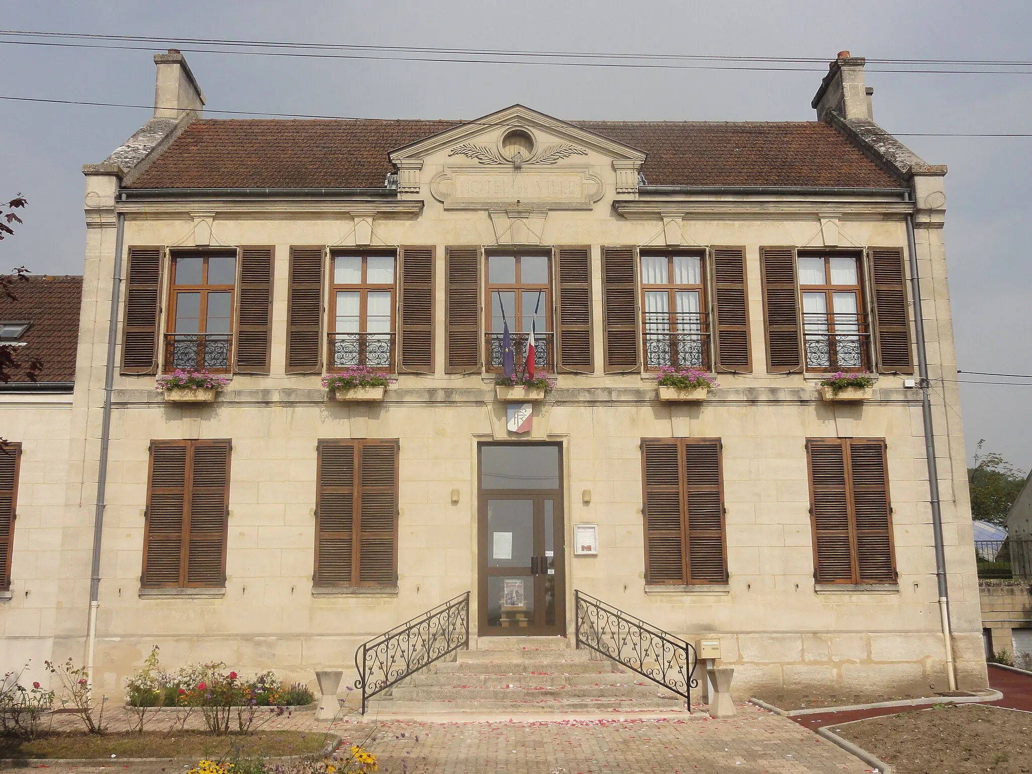
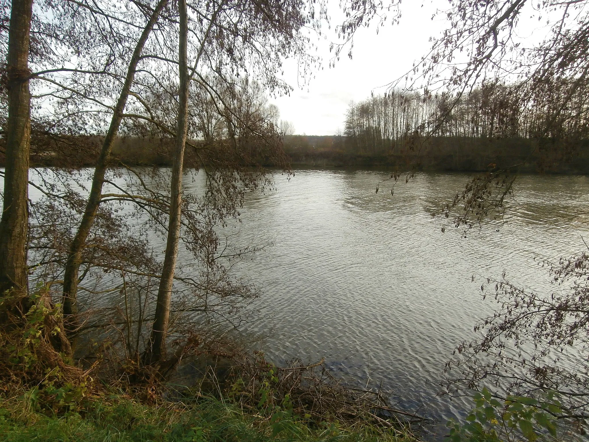
NéryVillageVisit the historic village of Néry, known for its beautiful church and traditional architecture.
64 km
64 km
BrasseuseVillageCycle through the picturesque village of Brasseuse with its stunning countryside views.
72 km
72 km
Finish: Fleurines Village centerFleurines: Scenic Cycling in Picardie
Cycling routes from Fleurines:
Cycling routes nearby: