The Mello Loop
A road cycling route starting from Montataire
Experience the scenic beauty of the Mello region on this charming road cycling route.
Map

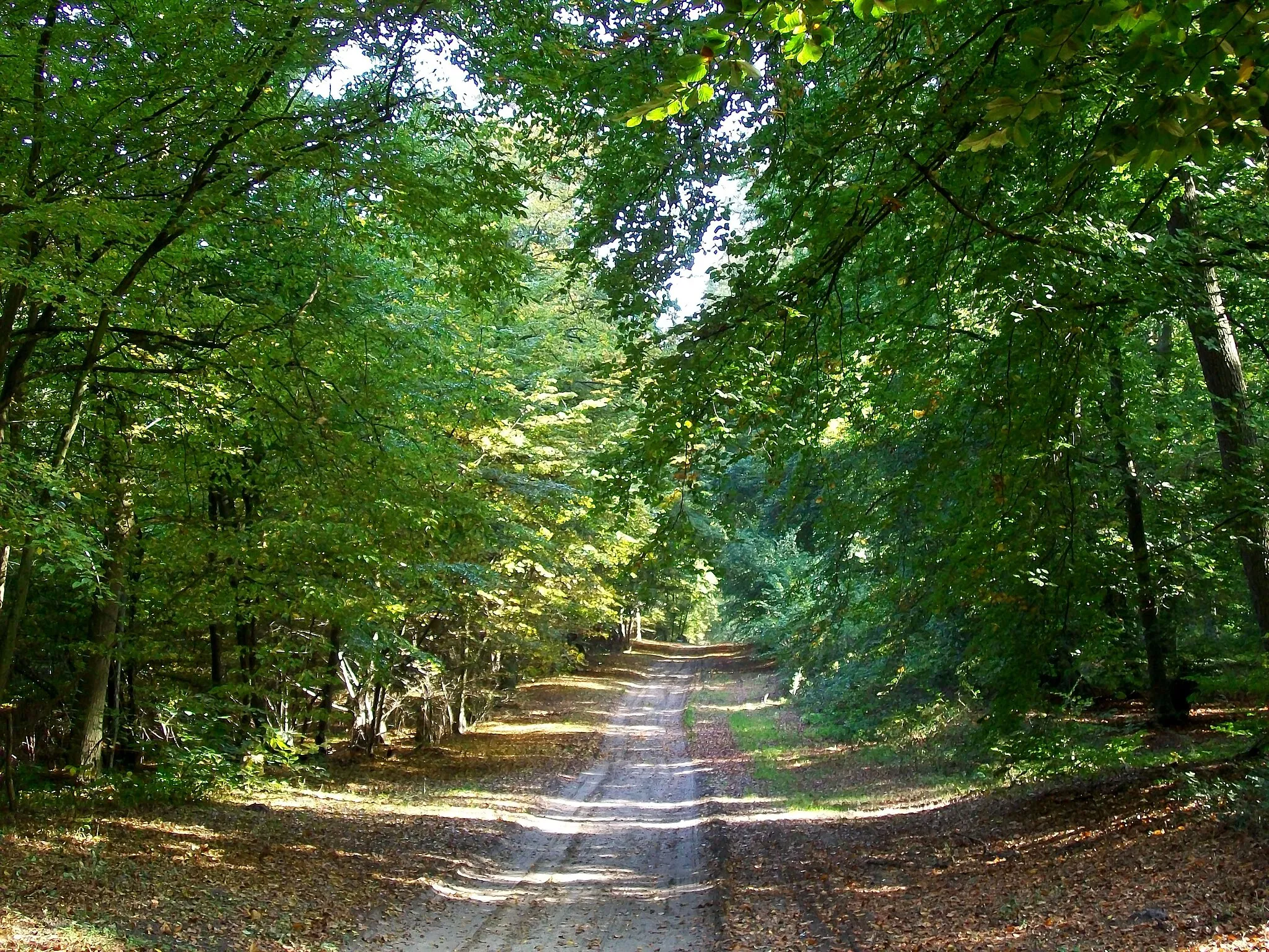
The Mello Loop is a picturesque road cycling route that takes you through the scenic countryside near Montataire in Picardie, France. With a distance of 42 kilometers and an ascent of 228 meters, it is a perfect route for cyclists looking for a shorter yet enjoyable ride. The route offers stunning views of the Mello region and takes you through quaint villages with rich historical heritage.
road
42 km
228 m
Chill
Route profile
Highlights on the route
0 km
0 km
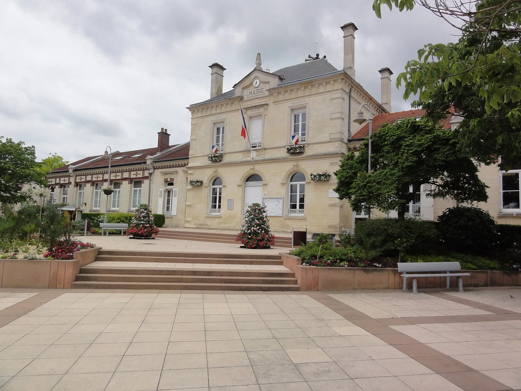
Start: Montataire City centerMontataire: Scenic rides in Montataire
Montataire is a locality in the Picardie region of France. From a cyclist's perspective, Montataire offers decent cycling opportunities. The town has some well-maintained cycling paths and roads that allow for enjoyable rides and exploration of the surrounding countryside. Significant local climb that attracts cyclists is the Montée d'Orrouy, known for its scenic views. Overall, Montataire is a suitable destination for road and gravel cyclists looking for moderate challenges and pleasant rides.5 km
5 km
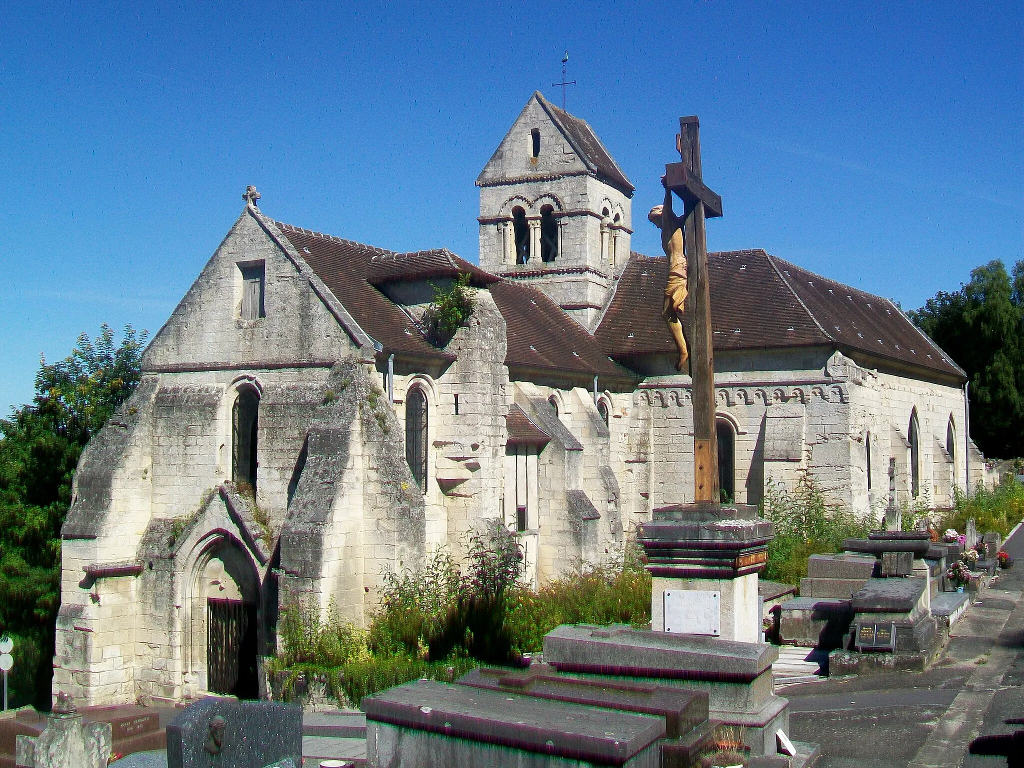
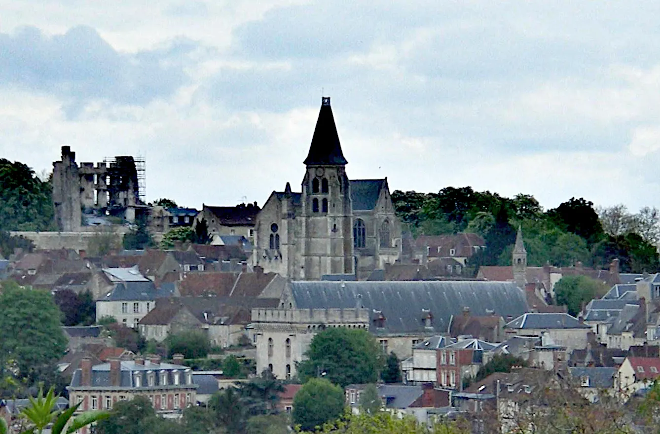
Cires-lès-MelloVillageCires-lès-Mello is a charming village surrounded by rolling hills and picturesque landscapes. Ride through its narrow streets and soak in the tranquil beauty.
23 km
23 km
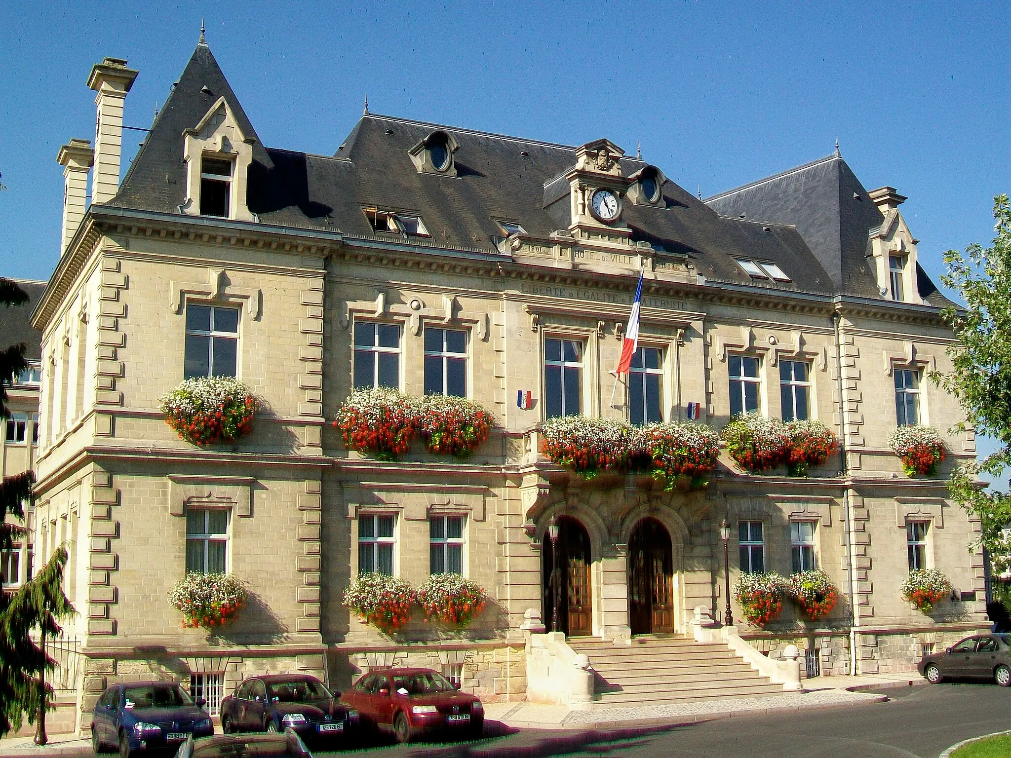
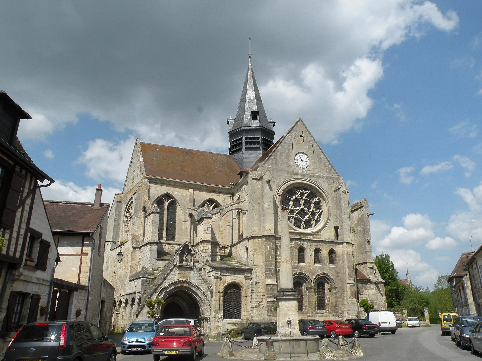
ClermontTownClermont is a medieval town with a rich architectural heritage. Admire the stunning Saint-Samson Church and explore the cobbled streets.
42 km
42 km
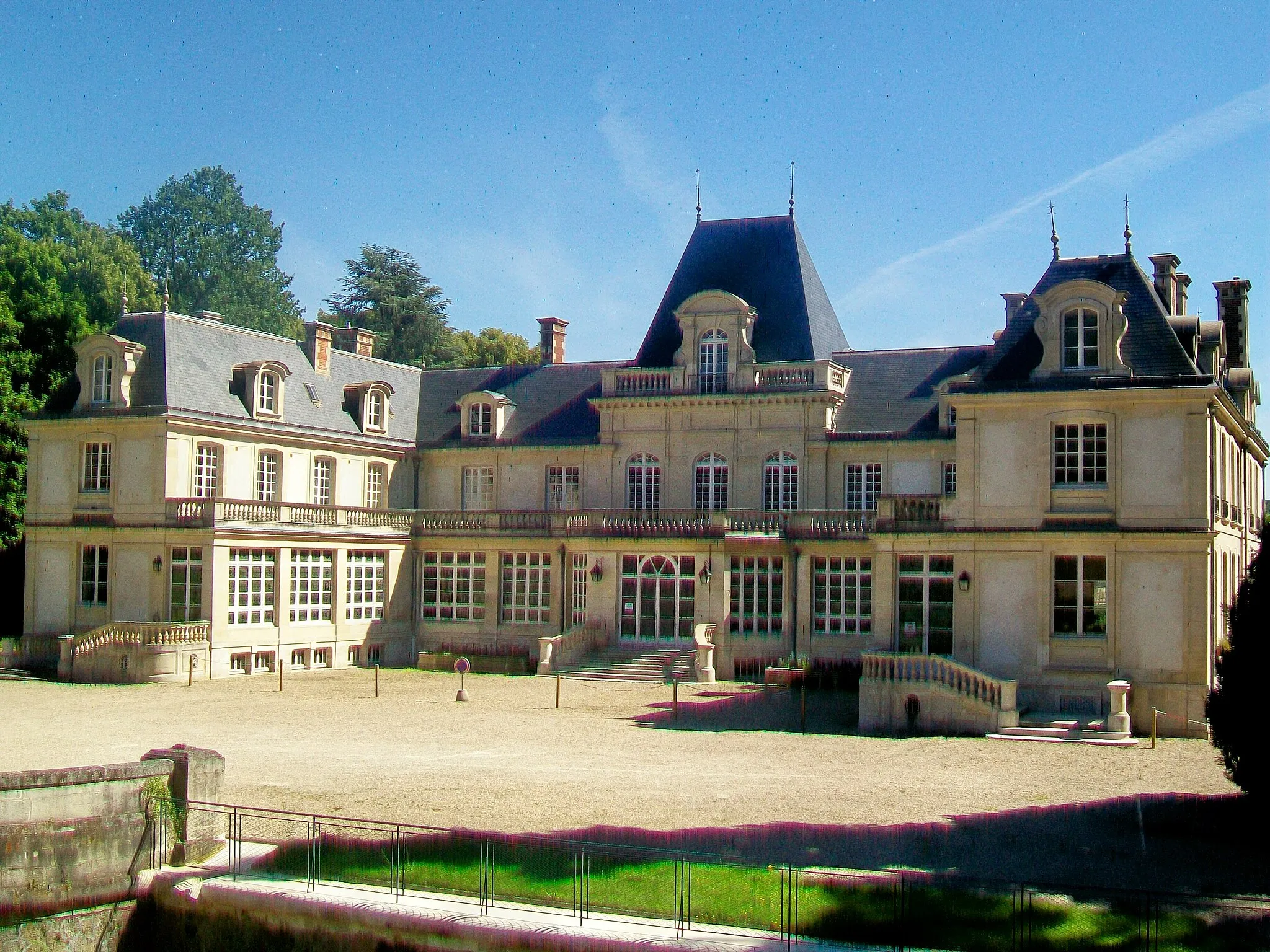
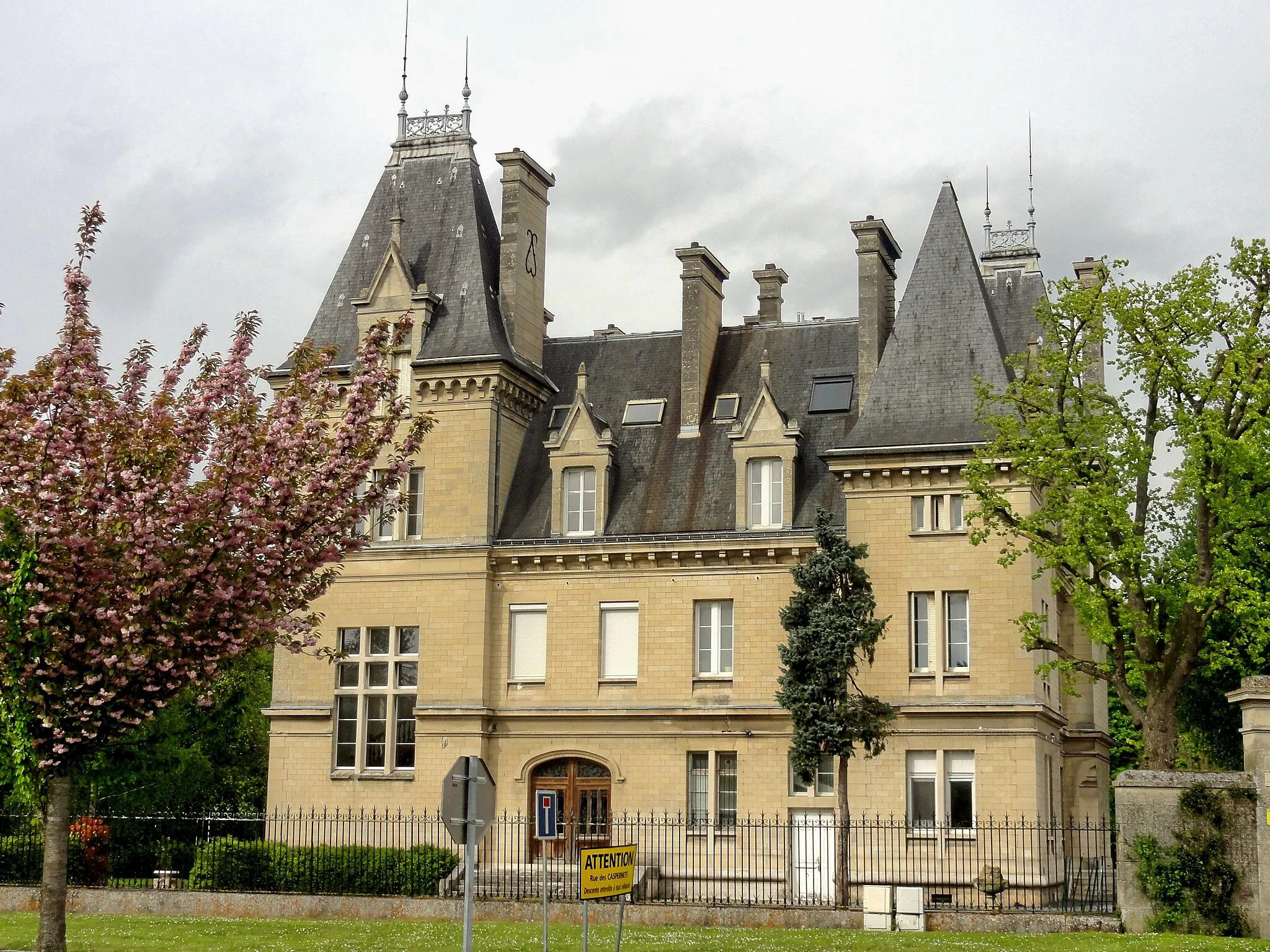
MontataireTownMontataire, the starting and ending point of the route, is a vibrant town known for its industrial history. Discover its unique charm as you cycle through its streets.
42 km
42 km
Finish: Montataire City centerMontataire: Scenic rides in Montataire
Cycling routes from Montataire:
Laigneville Scenic Ride Boran-sur-Oise Gravel Adventure Nogent-sur-Oise Road Adventure Cinqueux to Thiverny Road Cycling Challenge Crouy-en-Thelle Loop Verneuil-en-Halatte Gravel Adventure Foulangues Gravel Adventure Cramoisy Gravel Delight Foulangues Loop Thiverny Road Escape The Mello Loop The Thelle Valley Gravel Adventure The Esserent Loop The Verberie Gravel Adventure
Cycling routes nearby: