Gravel Adventure to Montdidier
A gravel cycling route starting from Montdidier
Embark on an exhilarating gravel adventure to Montdidier
Map

Covering a distance of 31 kilometers with an elevation gain of 286 meters, this gravel route provides a thrilling cycling experience from start to finish. Starting near Montdidier, the route passes through Les Montelettes, a scenic area offering panoramic views of the surrounding countryside. Explore Braches, a charming village with a rich history, and embrace the tranquility of Davenescourt. This route is perfect for gravel enthusiasts looking for an off-road expedition near Montdidier.
gravel
31 km
286 m
Tough
Route profile
Highlights on the route
0 km
0 km
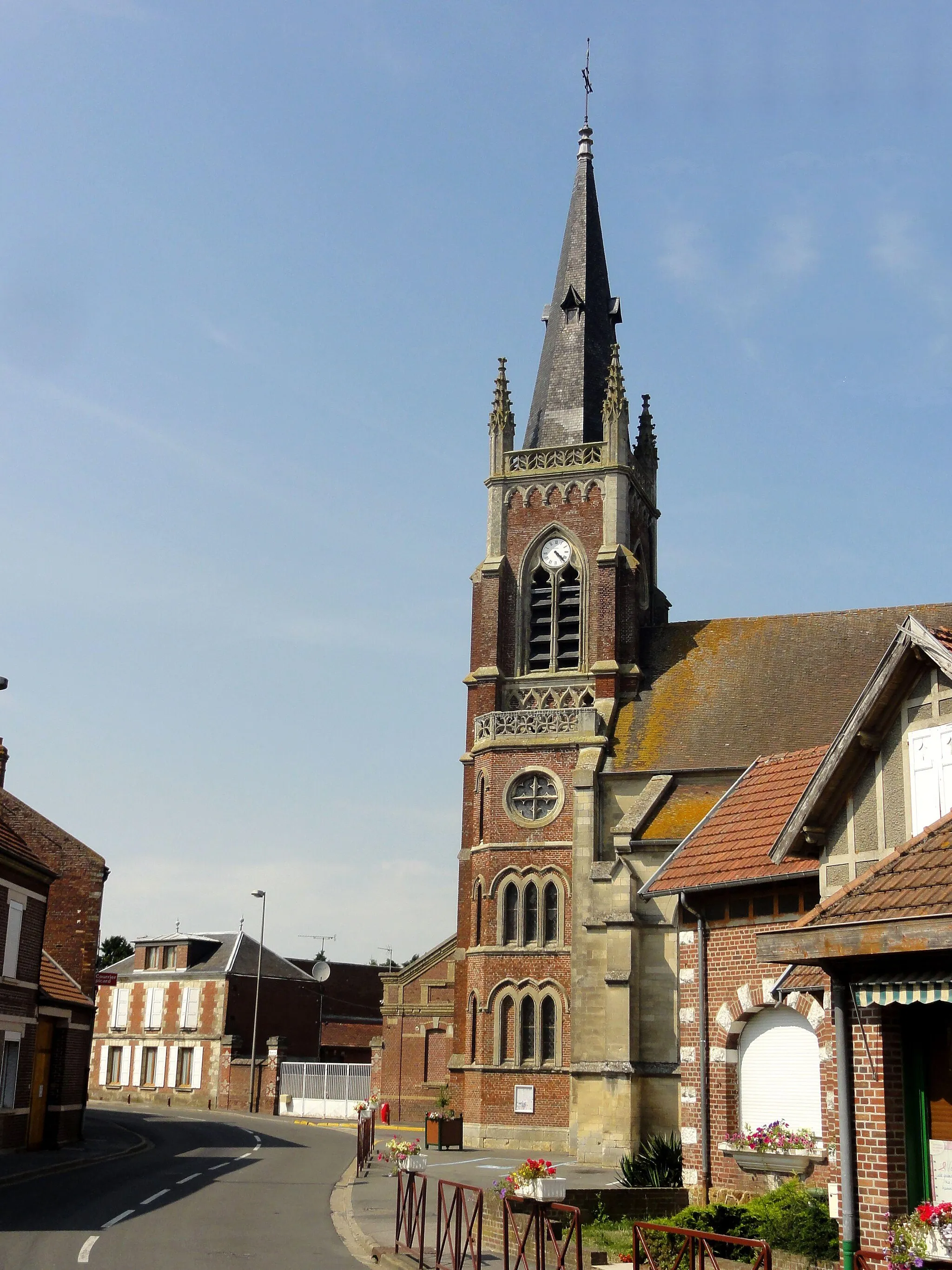
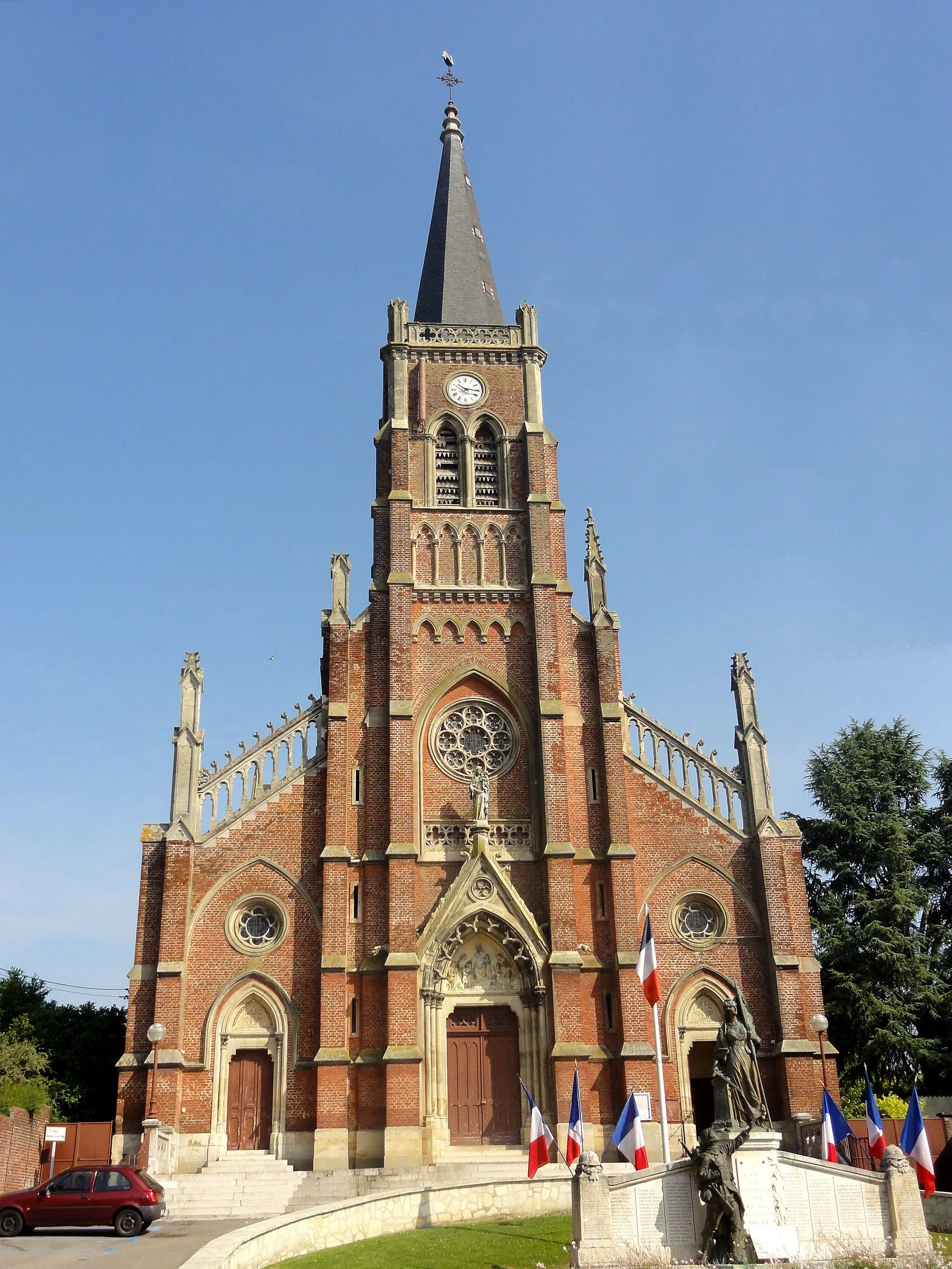
Start: Montdidier Village centerMontdidier: Serene cycling in Picardie
Montdidier is a locality in Picardie, France, that offers cycling opportunities for road and gravel cyclists. Cyclists can enjoy peaceful rides along the quiet roads of Montdidier, surrounded by picturesque landscapes. While it may not be home to any famous cycling spots or legendary climbs, Montdidier provides a serene cycling experience for those seeking tranquility and natural beauty.0 km
0 km
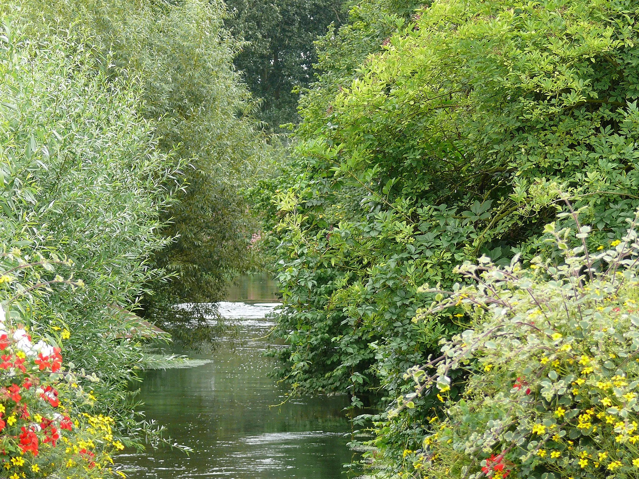
Les Montelettes94 mPeakWitness the stunning beauty of Les Montelettes, a popular spot for photography enthusiasts due to its breathtaking vistas.
13 km
13 km
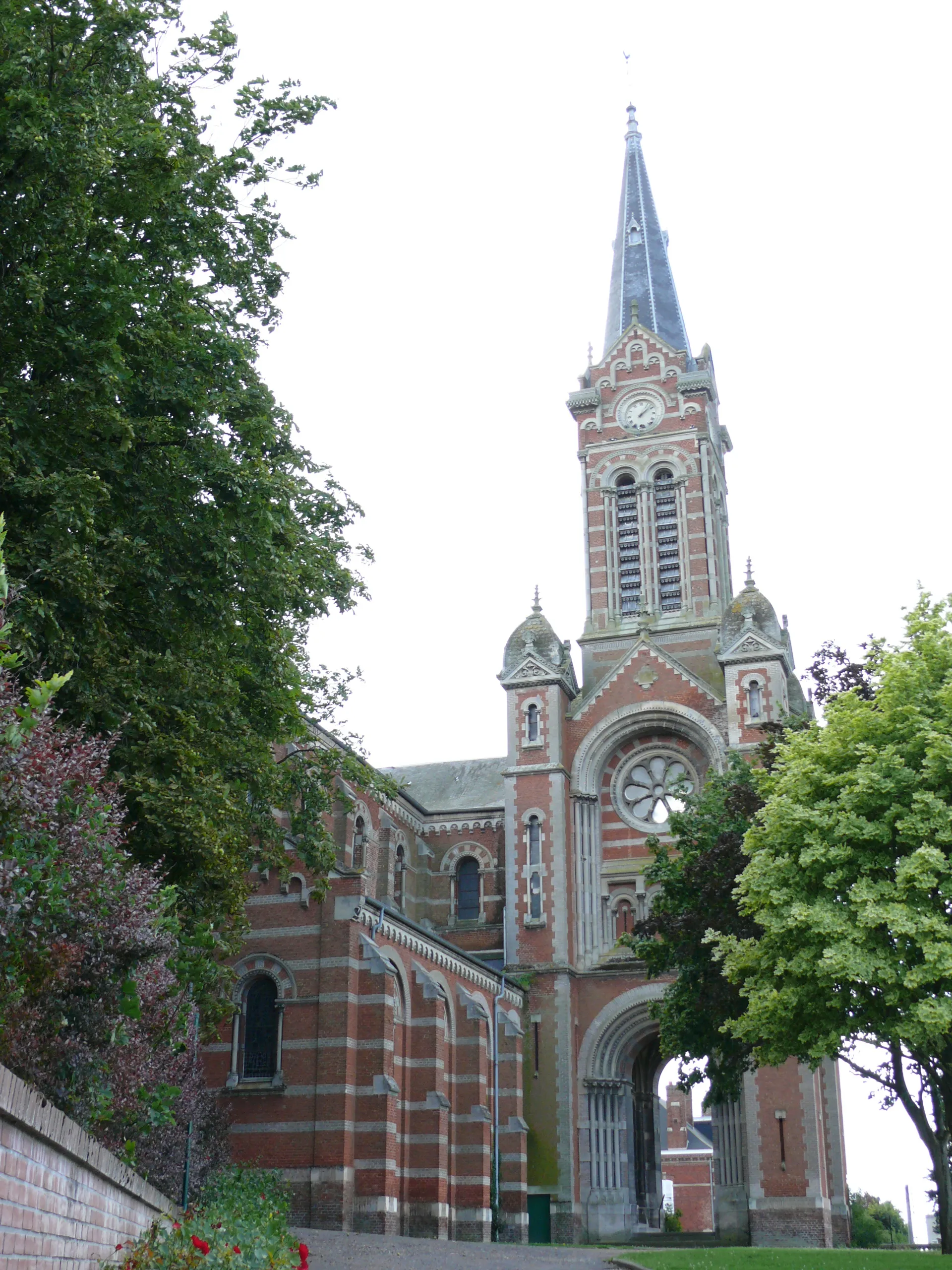
BrachesVillageDiscover the quaint village of Braches, known for its traditional architecture and idyllic surroundings.
22 km
22 km
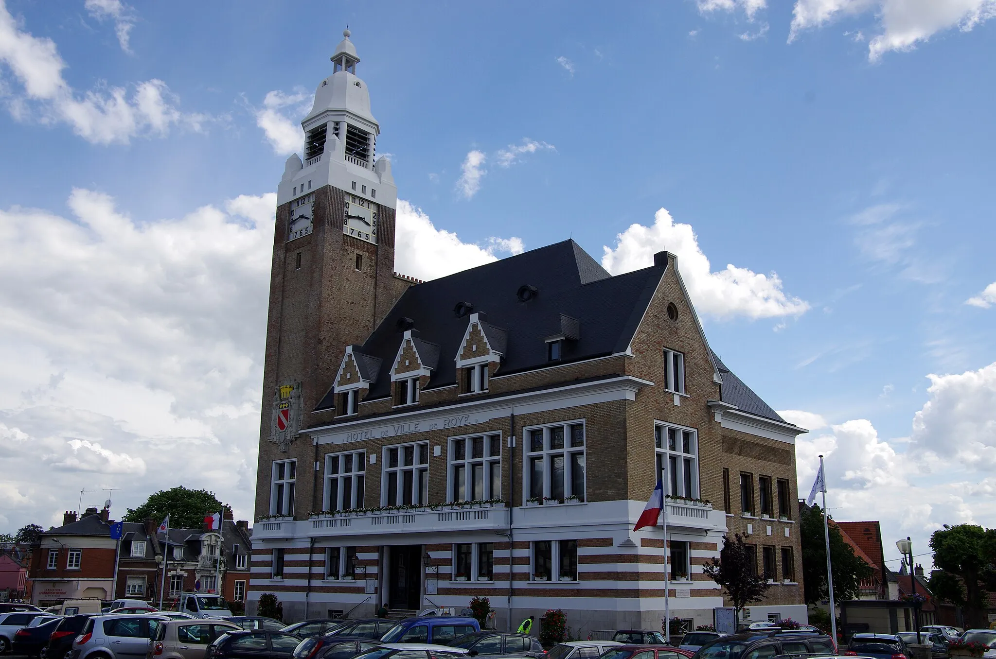
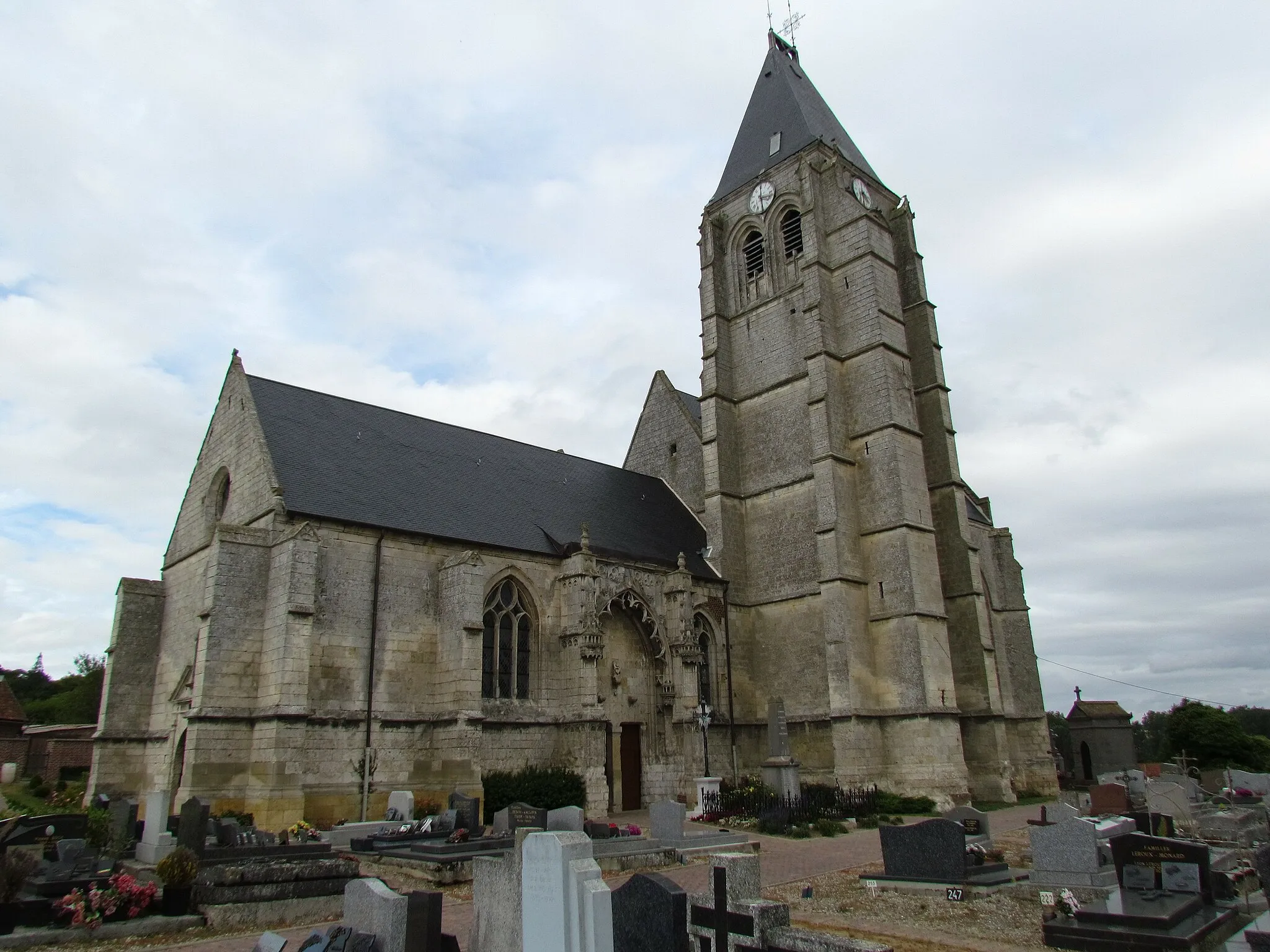
DavenescourtVillageTake a quick break at Davenescourt and relish the peaceful atmosphere of this charming hamlet.
31 km
31 km
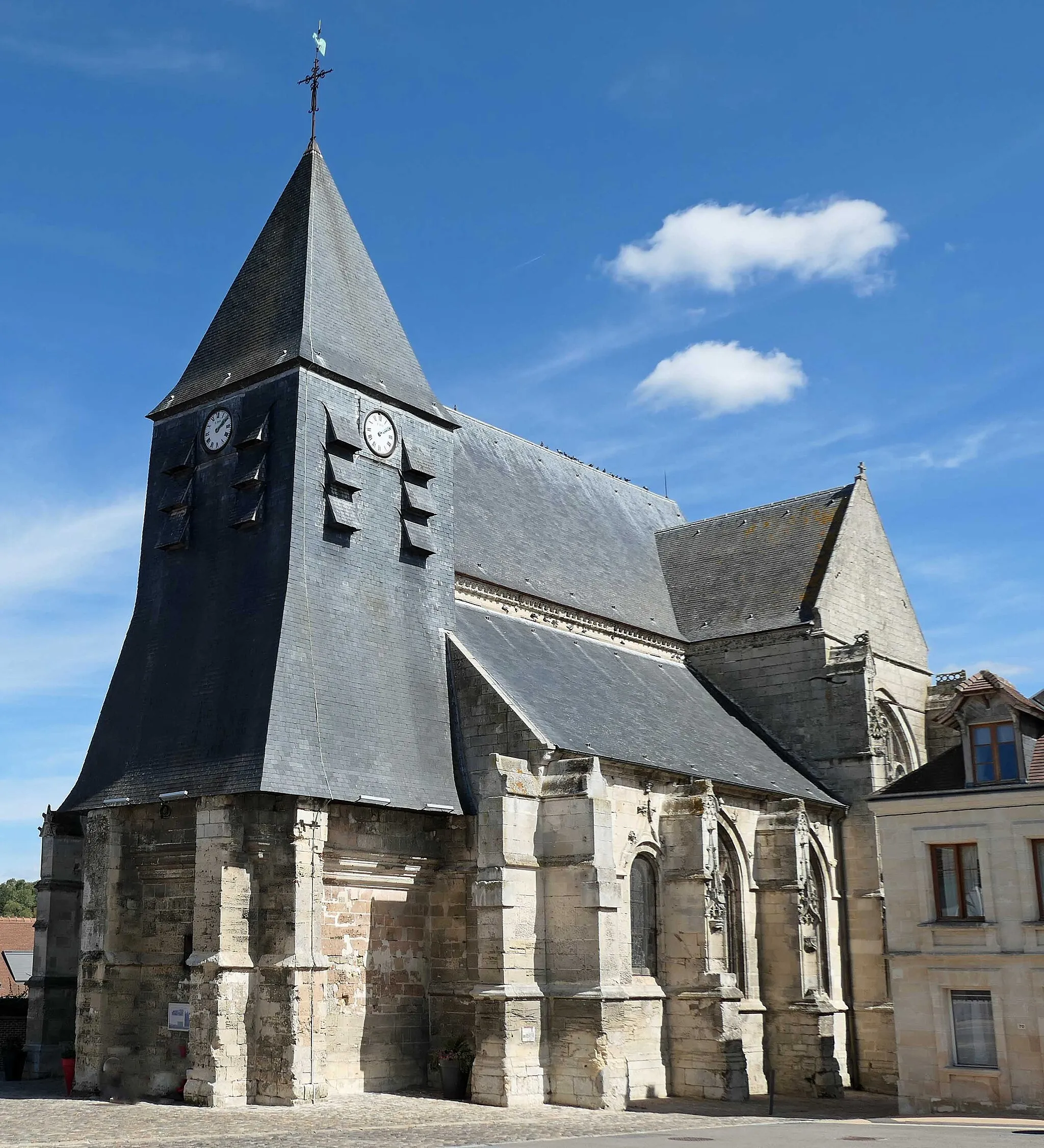
MontdidierVillageArrive in Montdidier and experience the town's rich cultural heritage through its historic landmarks and traditional bistros.
31 km
31 km
Finish: Montdidier Village centerMontdidier: Serene cycling in Picardie
Cycling routes nearby: