Mountain Delight
A gravel cycling route starting from Pont-Sainte-Maxence
Embark on a thrilling gravel cycling adventure and conquer the mountains near Pont-Sainte-Maxence.
Map
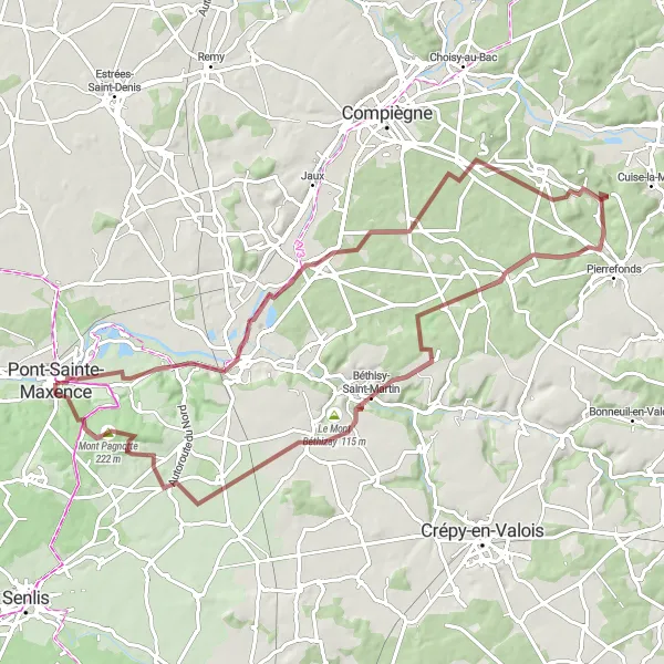
If you're a fan of off-road cycling and breath-taking mountain landscapes, this route is for you. With a moderate difficulty level and a score of 3 for epicness, it offers an exciting adventure for experienced cyclists. Highlights of the route include Mont Collet, a challenging mountain climb with amazing views, and Le Mont Béthizay, a legendary spot for experienced gravel cyclists. The route also passes by Lacroix-Saint-Ouen, where you can take a break and enjoy the charm of this picturesque village.
gravel
77 km
542 m
Tough
Route profile
Highlights on the route
0 km
0 km
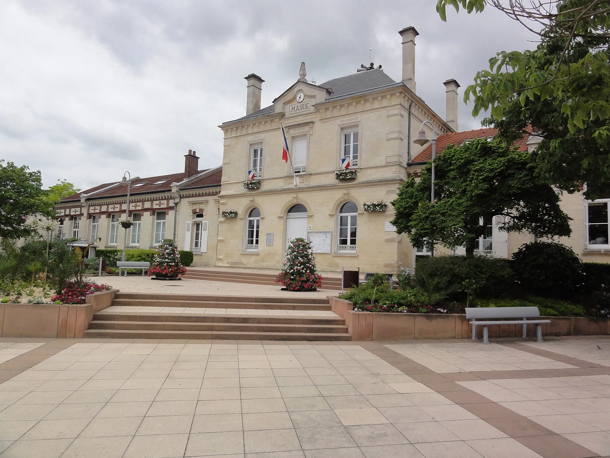
Start: Pont-Sainte-Maxence City centerPont-Sainte-Maxence: Tranquil cycling in Picardie
Pont-Sainte-Maxence is a town located in the Picardie region of France. From a cyclist's perspective, Pont-Sainte-Maxence offers pleasant rides through rural landscapes and charming villages. The area is not known for famous cycling spots or well-known climbs. However, it provides a peaceful setting for cyclists looking to explore the French countryside. Pont-Sainte-Maxence is a suitable destination for leisurely rides and discovering the beauty of the Picardie region.17 km
17 km
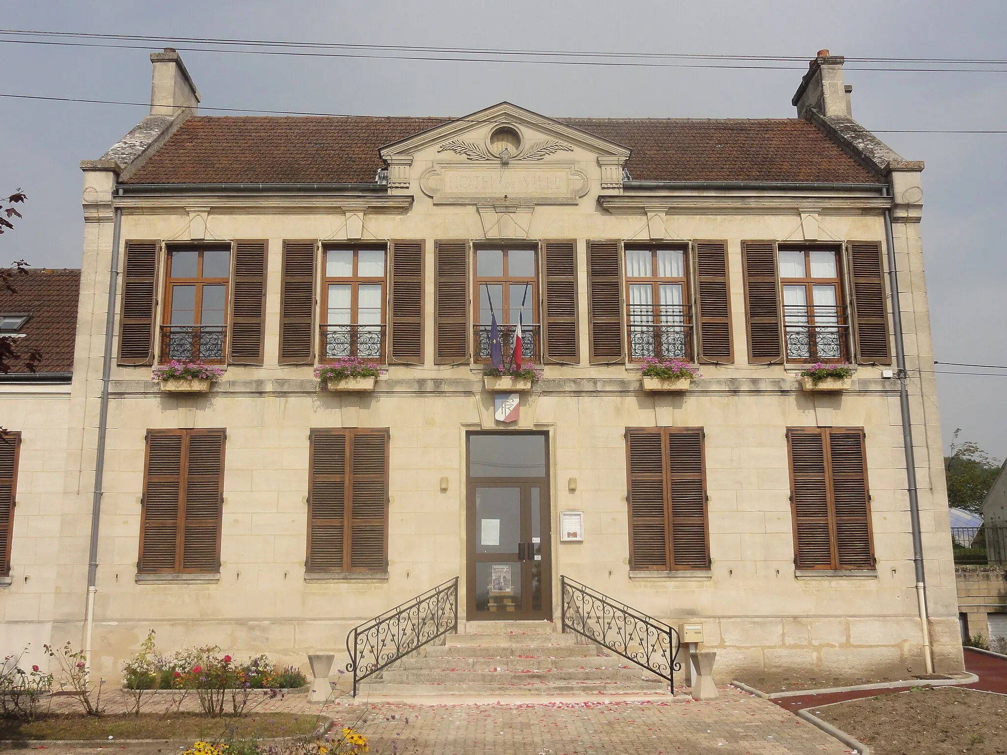
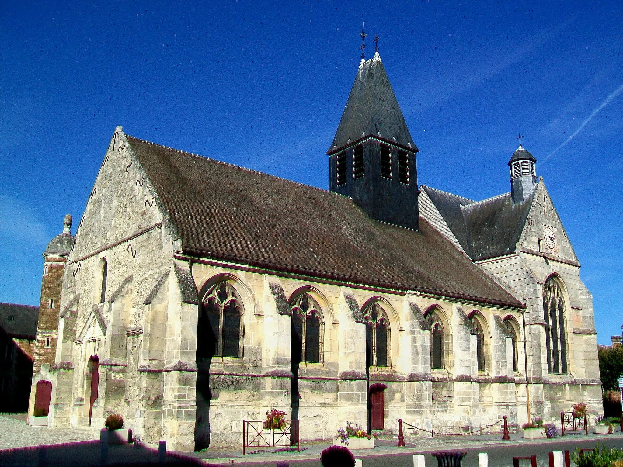
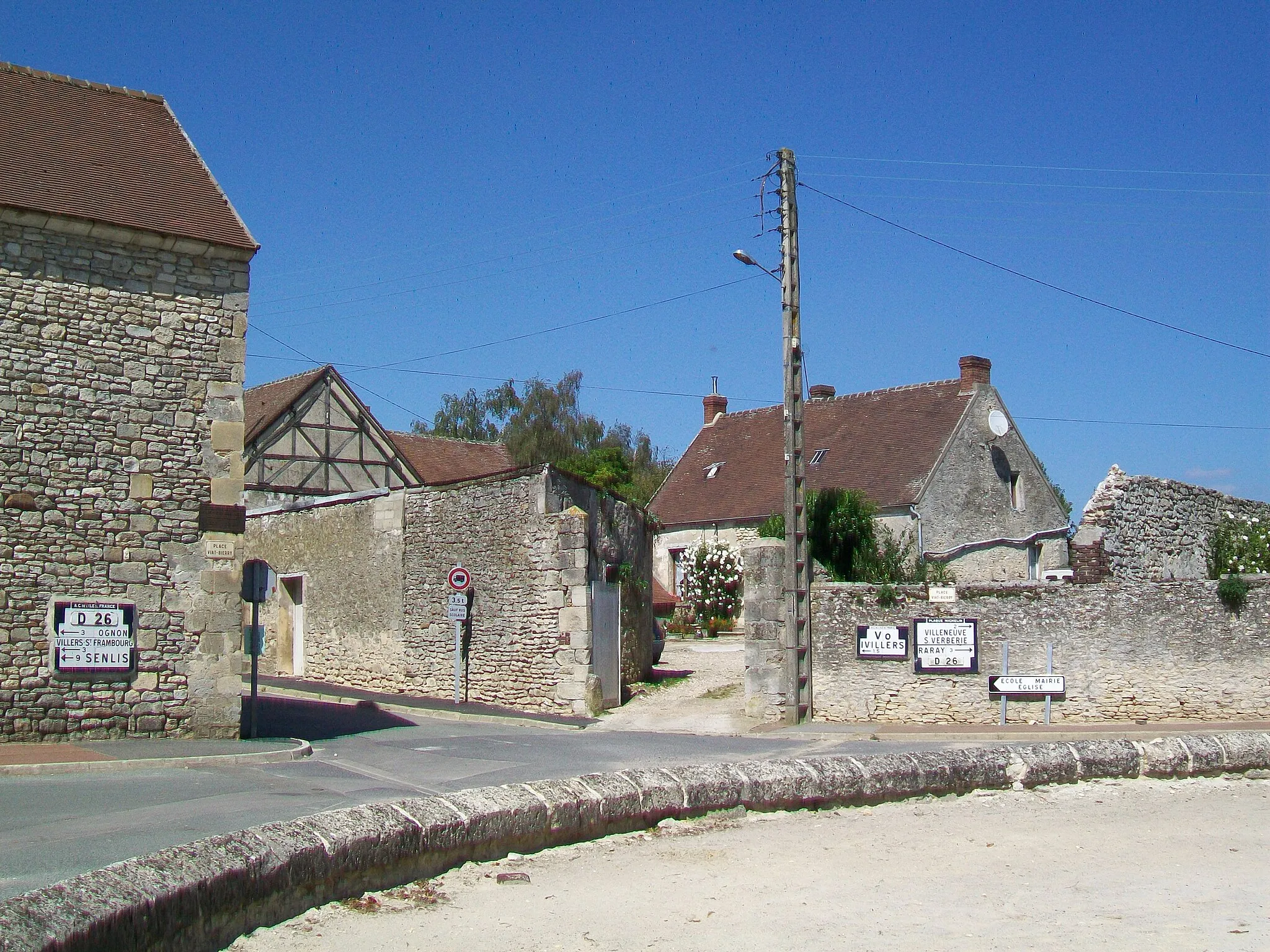
Lacroix-Saint-OuenVillageStop by Lacroix-Saint-Ouen and explore its enchanting streets and historic sites.
33 km
33 km
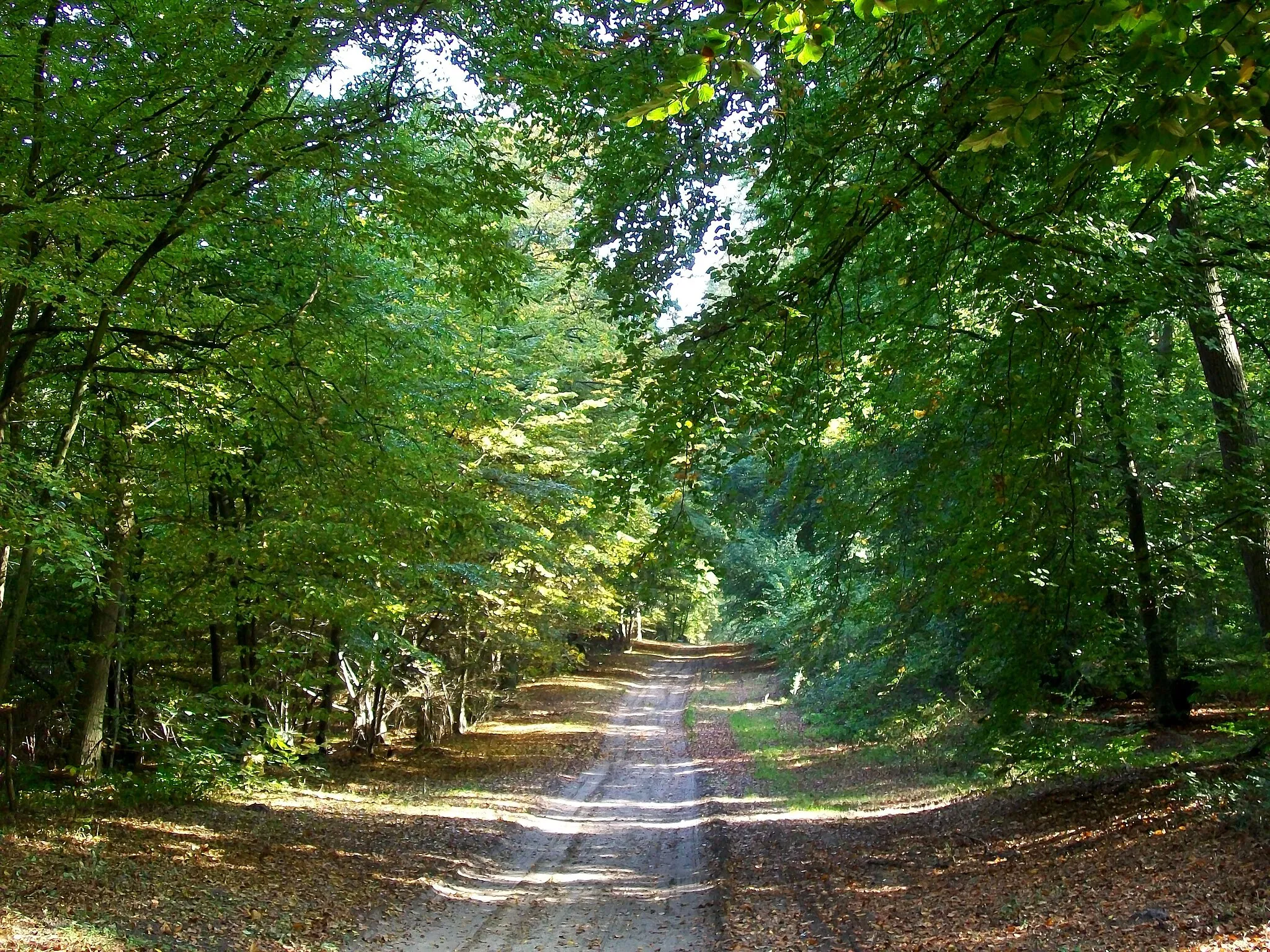
Mont Collet126 mPeakChallenge yourself with a climb up Mont Collet and enjoy the stunning views.
54 km
54 km
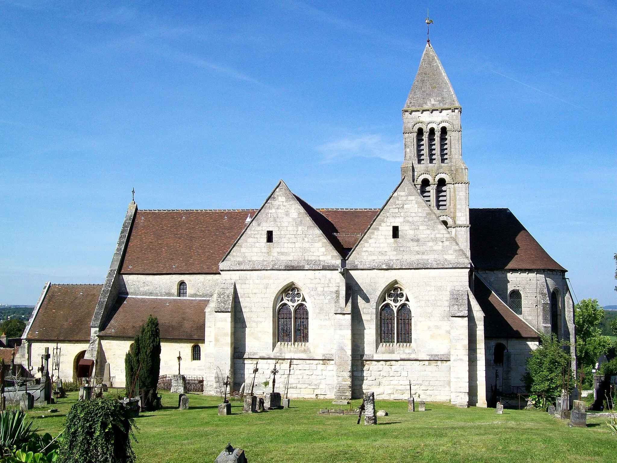
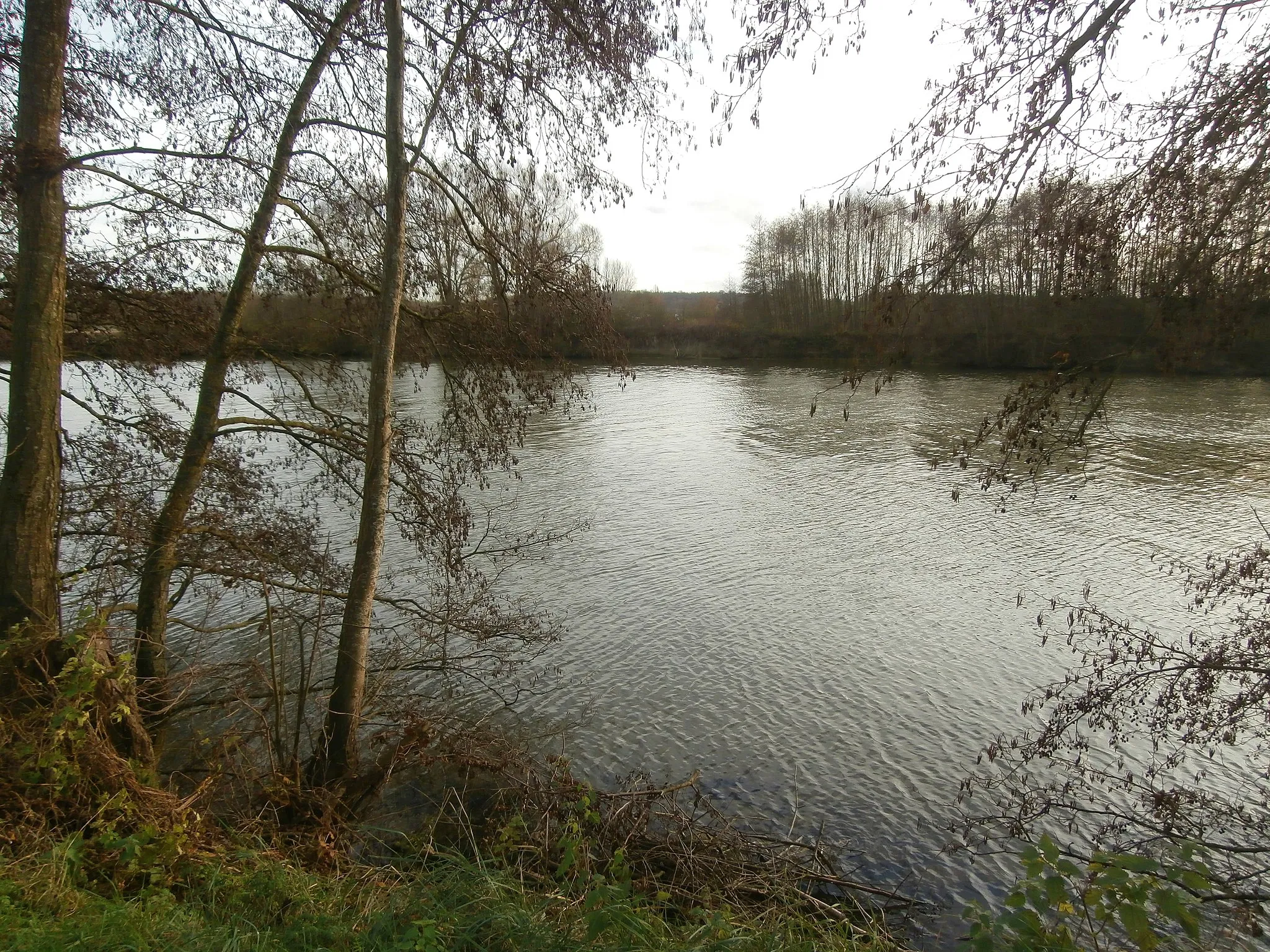
Béthisy-Saint-MartinVillageDiscover the beauty of Béthisy-Saint-Martin and its scenic landscapes.
57 km
57 km
Le Mont Béthizay115 mPeakVisit Le Mont Béthizay, a legendary spot for gravel cycling.
67 km
67 km
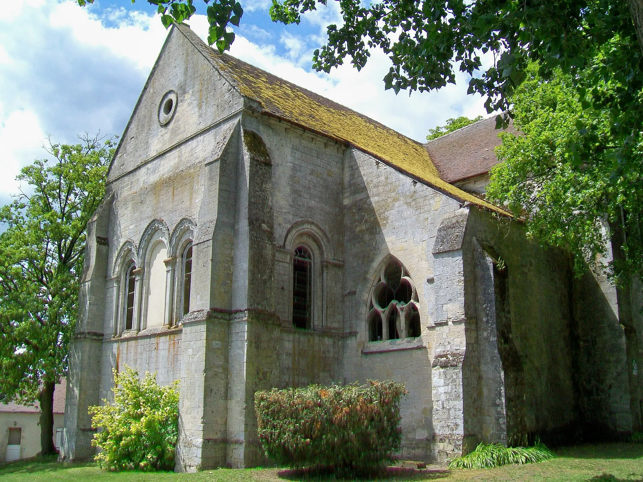
BrasseuseVillageStop by Brasseuse and take in the charming atmosphere of this quaint village.
72 km
72 km
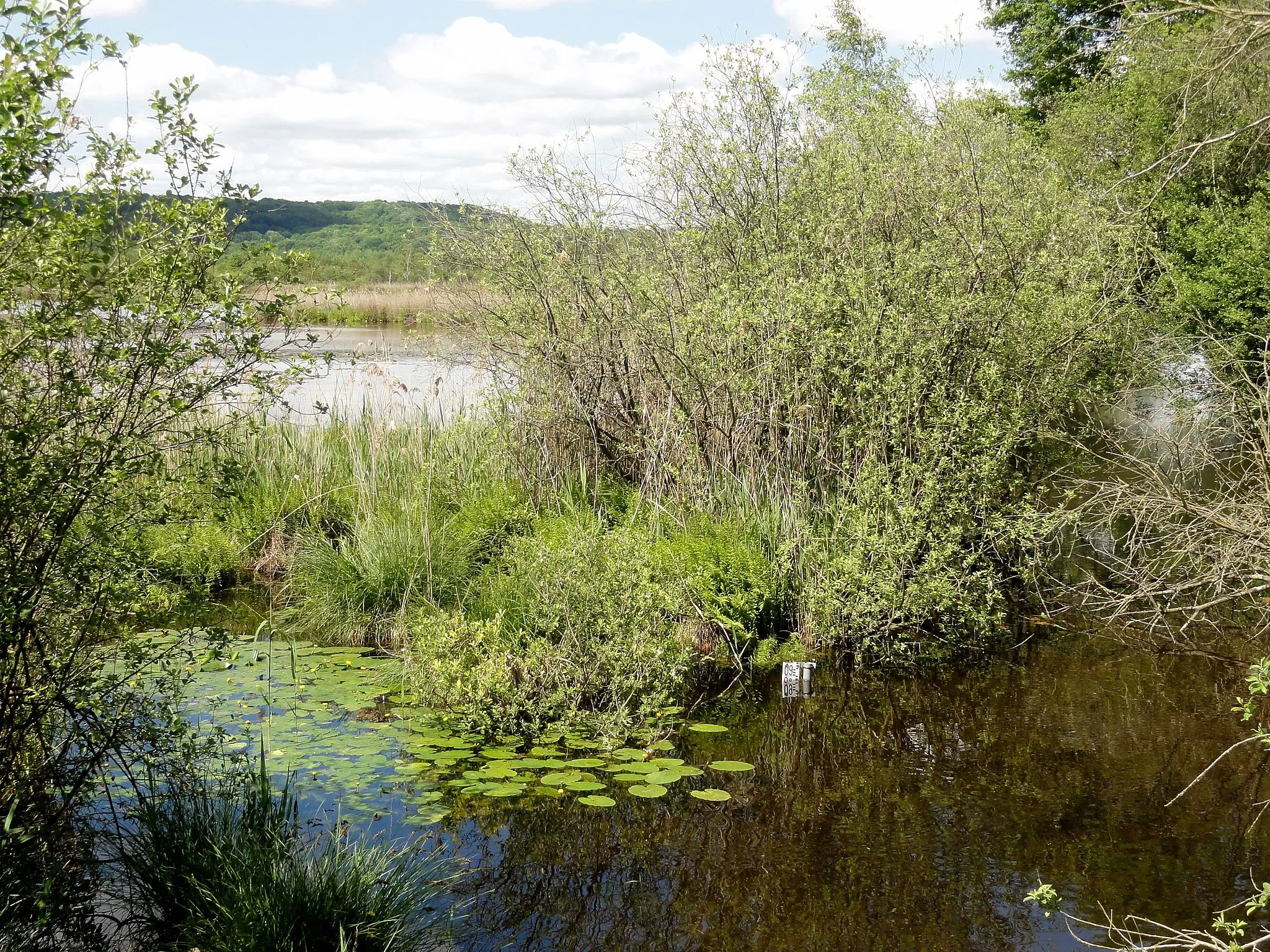
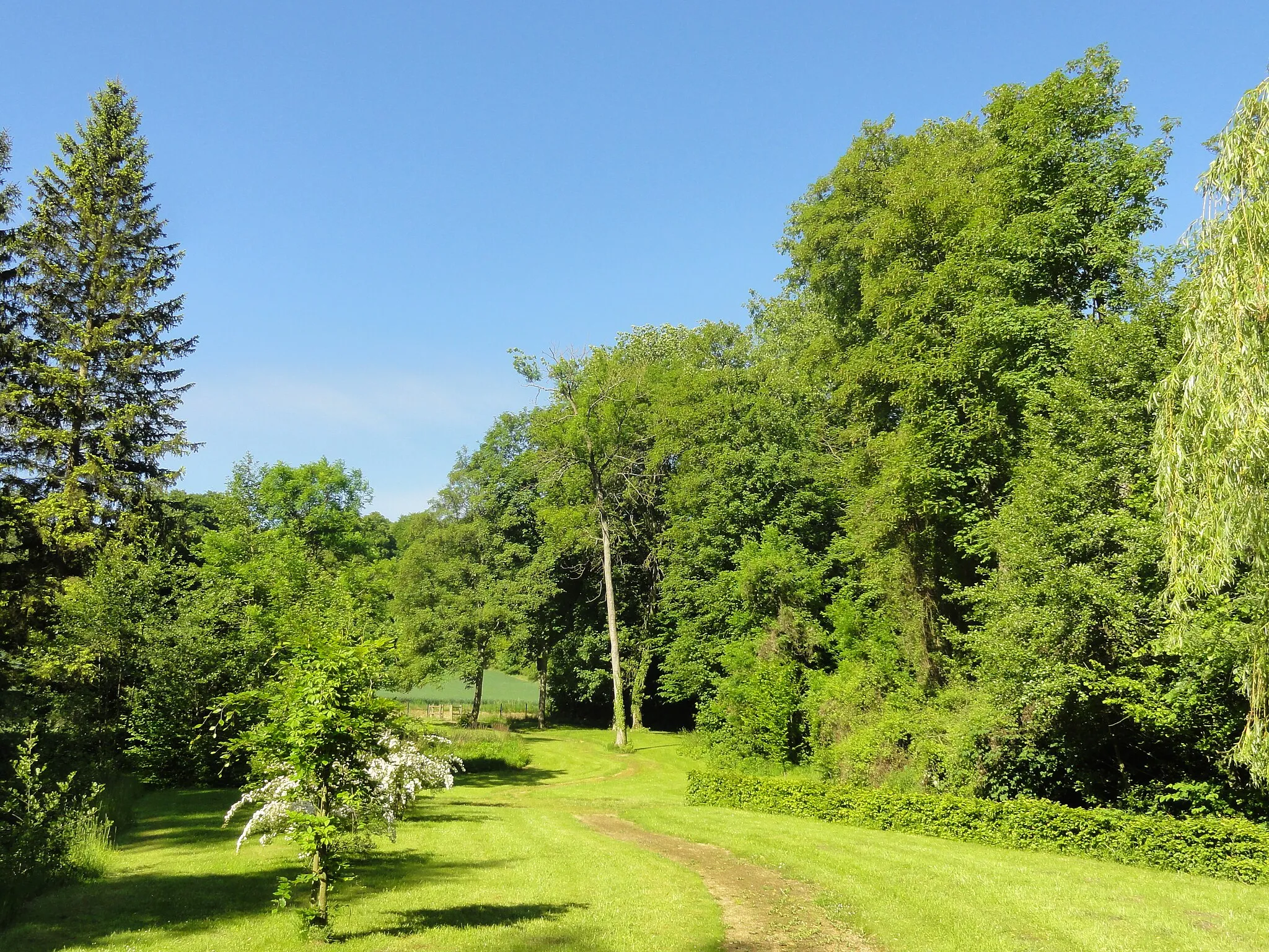
Mont Pagnotte222 mPeakExplore the solitude of Mont Pagnotte and experience its peaceful beauty.
77 km
77 km
Finish: Pont-Sainte-Maxence City centerPont-Sainte-Maxence: Tranquil cycling in Picardie
Cycling routes from Pont-Sainte-Maxence:
Cycling routes nearby: