Road to Glaignes
A road cycling route starting from Pont-Sainte-Maxence
Pedal through the beautiful countryside and reach the enchanting village of Glaignes.
Map
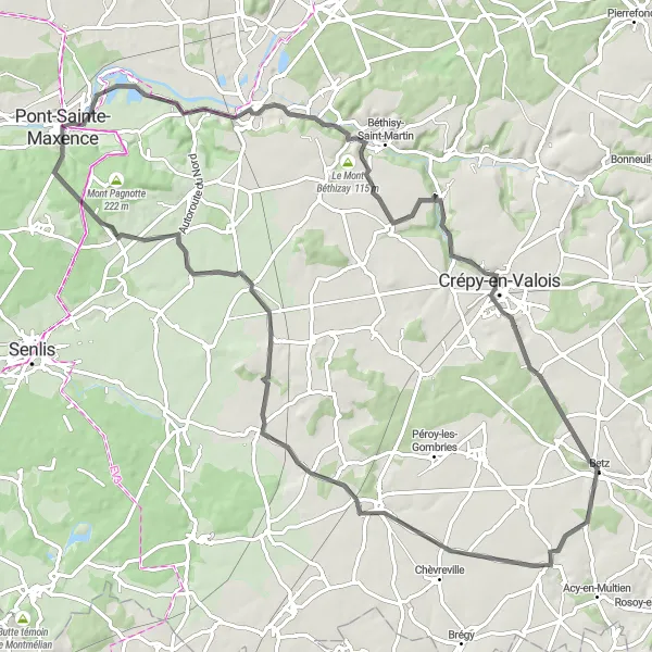
This road cycling route covers a distance of 86 km and offers a moderate difficulty level with a touch of epicness. With a mix of flat stretches and challenging climbs, this route is recommended for experienced cyclists. Highlights include Béthisy-Saint-Pierre, a picturesque village surrounded by lush greenery, and Rocher, known for its impressive rock formations. Glaignes, the final destination, is a hidden gem with its peaceful atmosphere and charming buildings. Experience the joy of cycling through scenic landscapes and discover the hidden treasures along the way!
road
86 km
459 m
Tough
Route profile
Highlights on the route
0 km
0 km
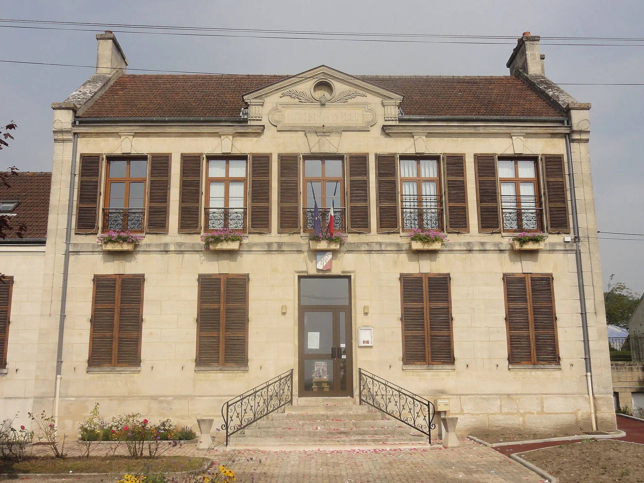
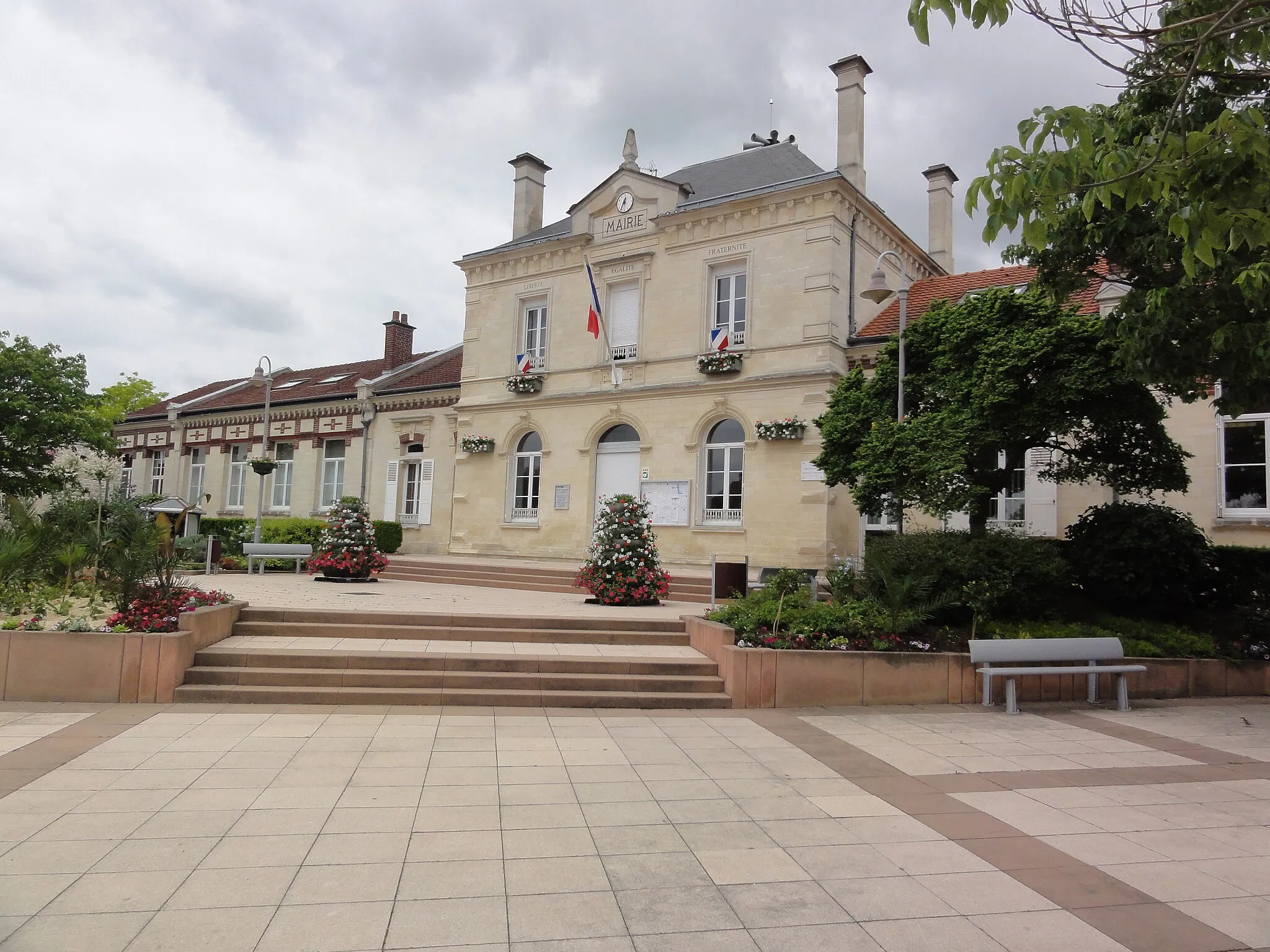
Start: Pont-Sainte-Maxence City centerPont-Sainte-Maxence: Tranquil cycling in Picardie
Pont-Sainte-Maxence is a town located in the Picardie region of France. From a cyclist's perspective, Pont-Sainte-Maxence offers pleasant rides through rural landscapes and charming villages. The area is not known for famous cycling spots or well-known climbs. However, it provides a peaceful setting for cyclists looking to explore the French countryside. Pont-Sainte-Maxence is a suitable destination for leisurely rides and discovering the beauty of the Picardie region.17 km
17 km
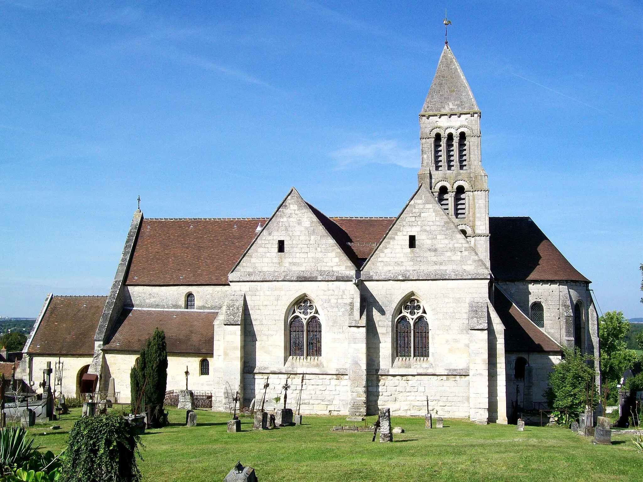
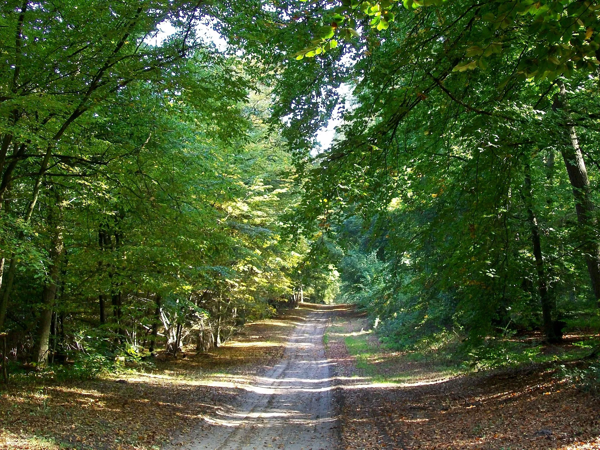
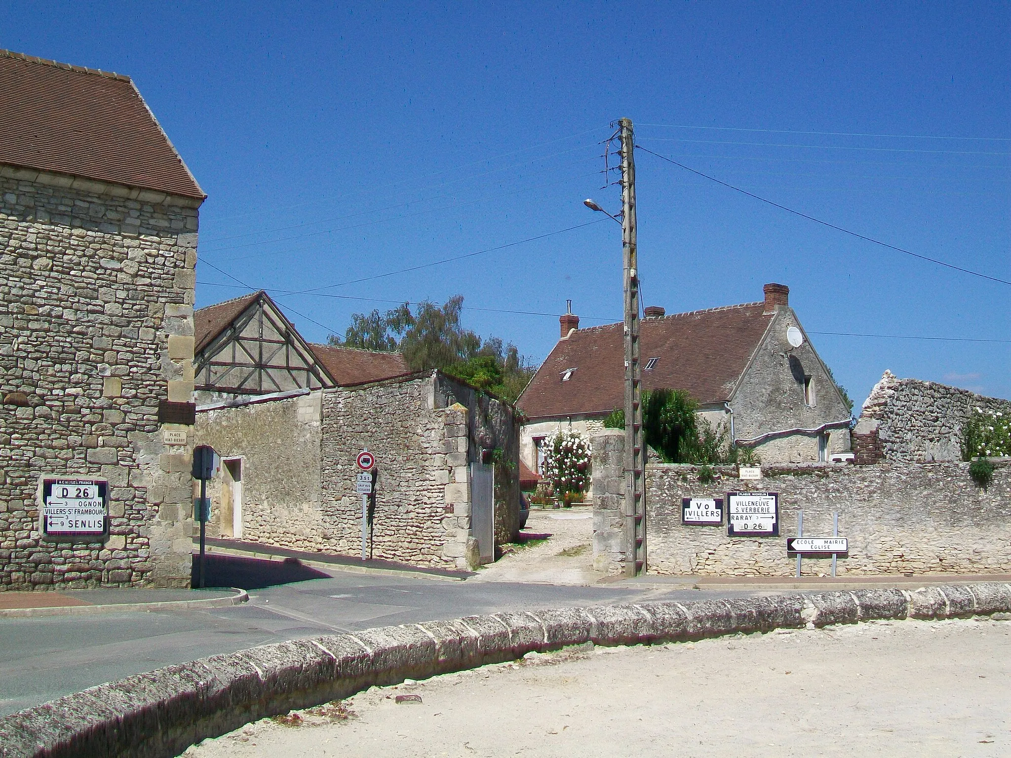
Béthisy-Saint-PierreVillageExplore the scenic village of Béthisy-Saint-Pierre and enjoy the tranquility of its surroundings.
25 km
25 km
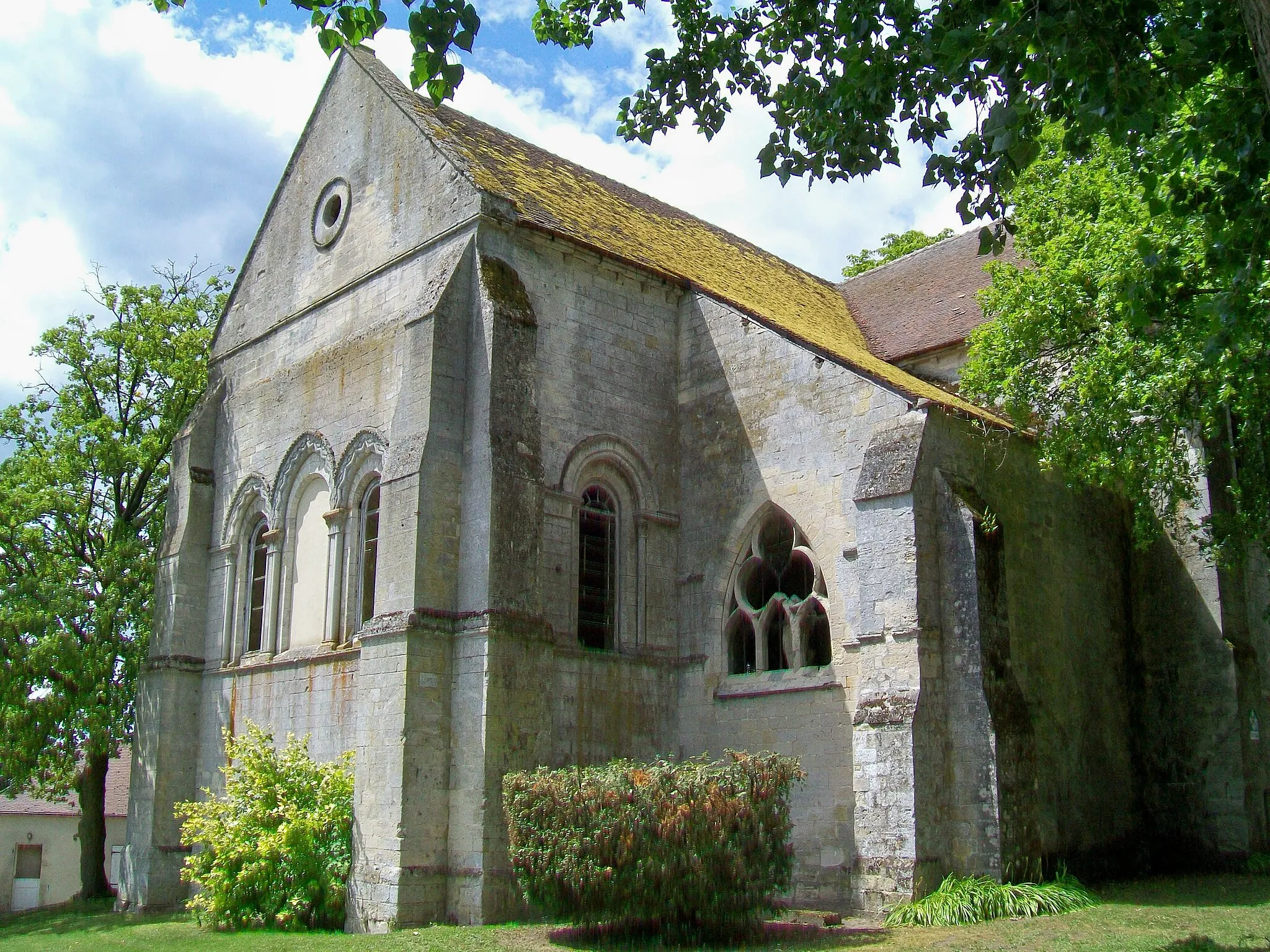
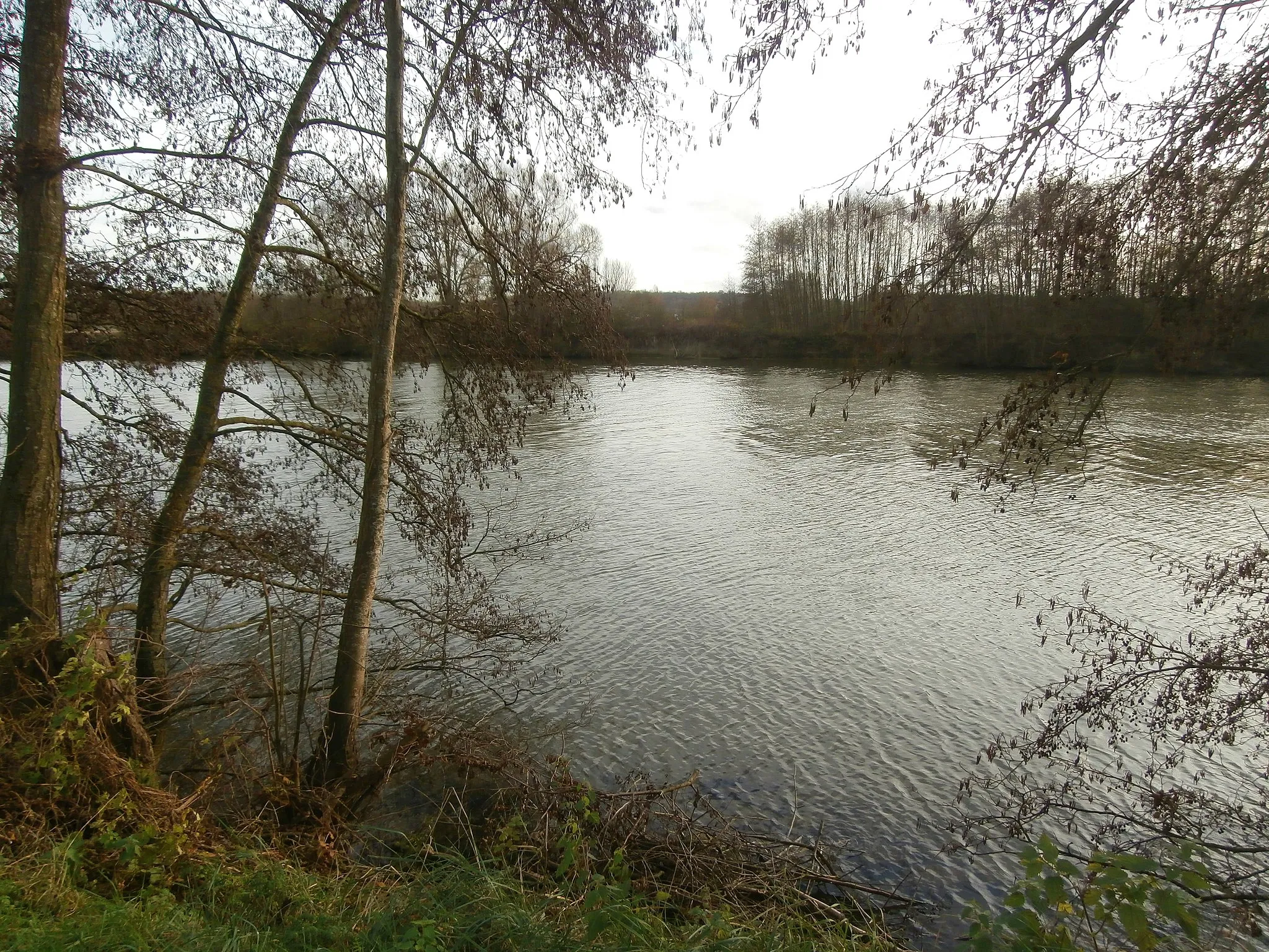
GlaignesVillageDiscover the unique rock formations in Rocher and take a moment to appreciate their natural beauty.
34 km
34 km
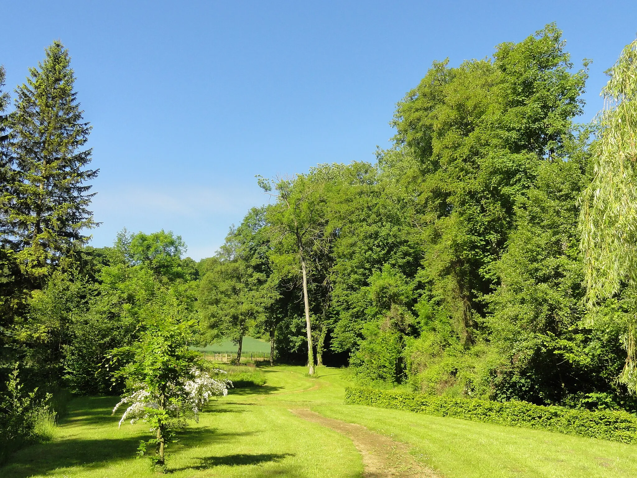
RocherViewpointArrive at the peaceful village of Glaignes, known for its idyllic charm and captivating rural landscapes.
56 km
56 km
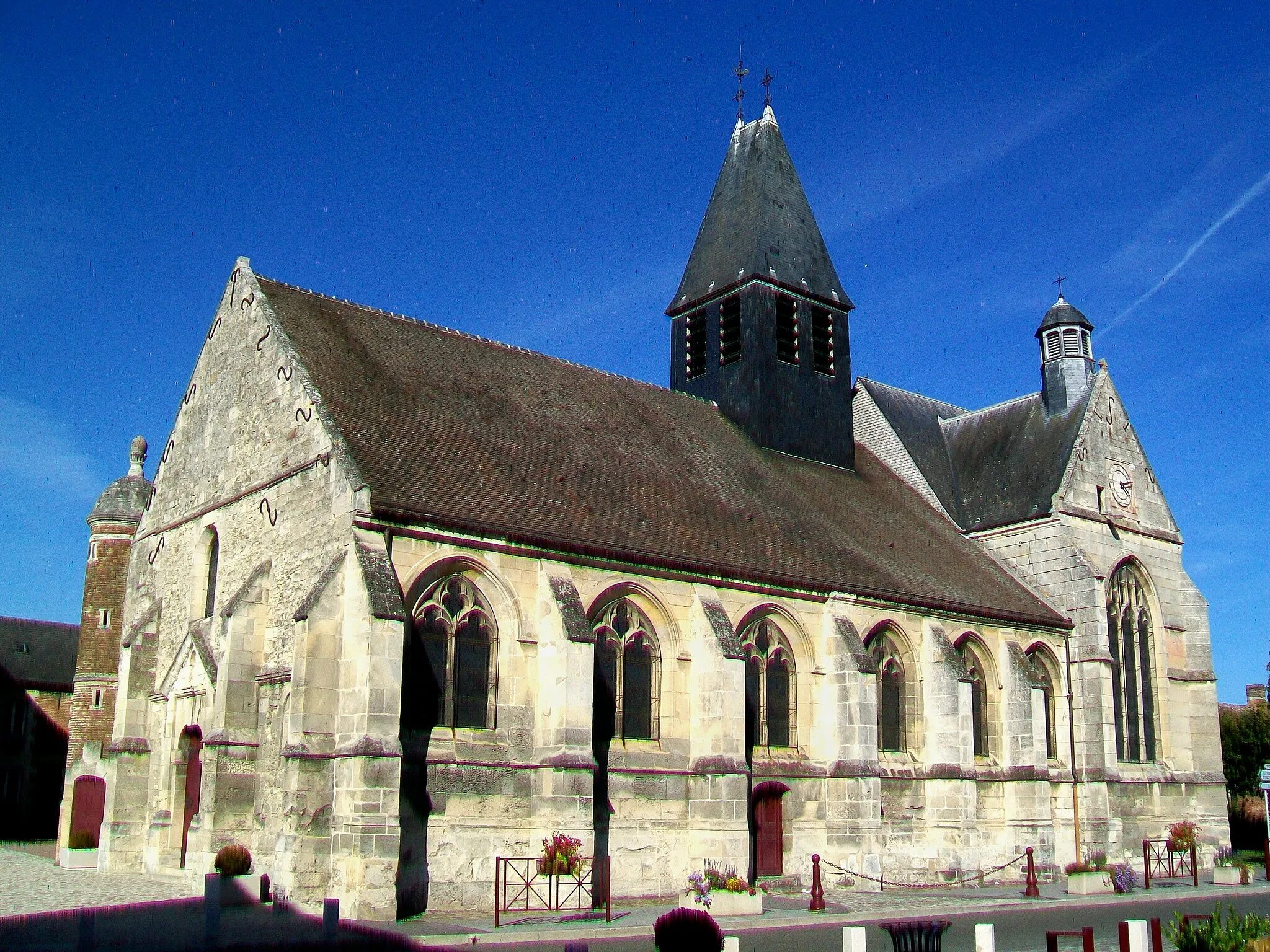
Nanteuil-le-HaudouinVillageThe historic village of Nanteuil-le-Haudouin offers a glimpse into the region's rich heritage and cultural traditions.
76 km
76 km
BrasseuseVillageVisit Brasseuse and uncover its fascinating history through its captivating architecture and historical monuments.
85 km
85 km
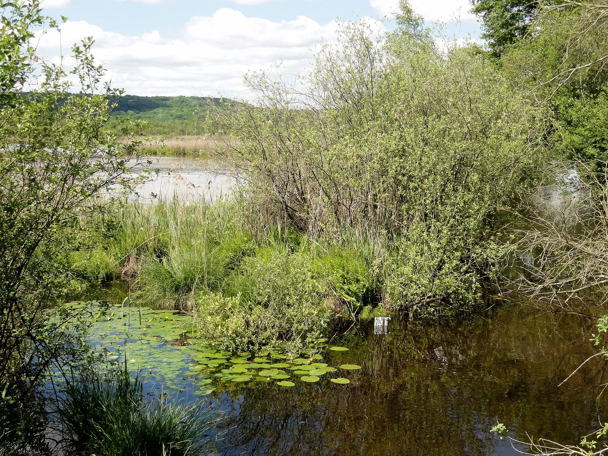
Fond RobinSub-urbPass by the Fond Robin, a picturesque spot with stunning views of the surrounding nature.
86 km
86 km
Finish: Pont-Sainte-Maxence City centerPont-Sainte-Maxence: Tranquil cycling in Picardie
Cycling routes from Pont-Sainte-Maxence:
Cycling routes nearby: