Gravel Mountain Adventure
A gravel cycling route starting from Pontpoint
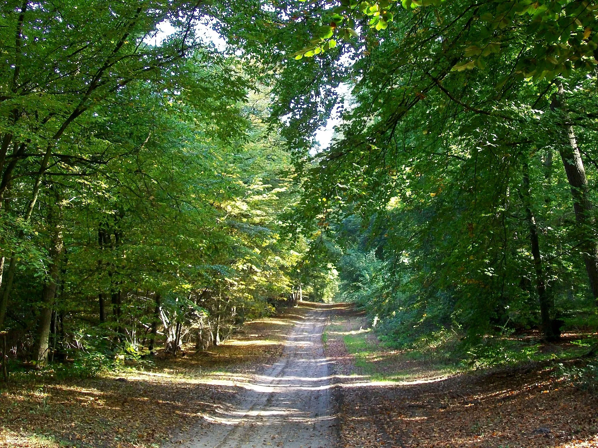
Embark on a thrilling gravel biking journey through mountains and valleys
Map

Prepare for an exhilarating mountain adventure on this gravel biking route starting near Pontpoint. With an elevation gain of 423 meters and a distance of 55 kilometers, this route offers a challenging ride for experienced cyclists. Enjoy the rugged landscapes and stunning mountain views as you conquer the gravel terrain. The difficulty level is rated at 4 out of 5, perfect for those seeking a test of endurance. The route's epicness rating is 4 out of 5, promising an unforgettable journey filled with natural wonders and interesting highlights.
gravel
55 km
423 m
Tough
Route profile
Highlights on the route
0 km
0 km
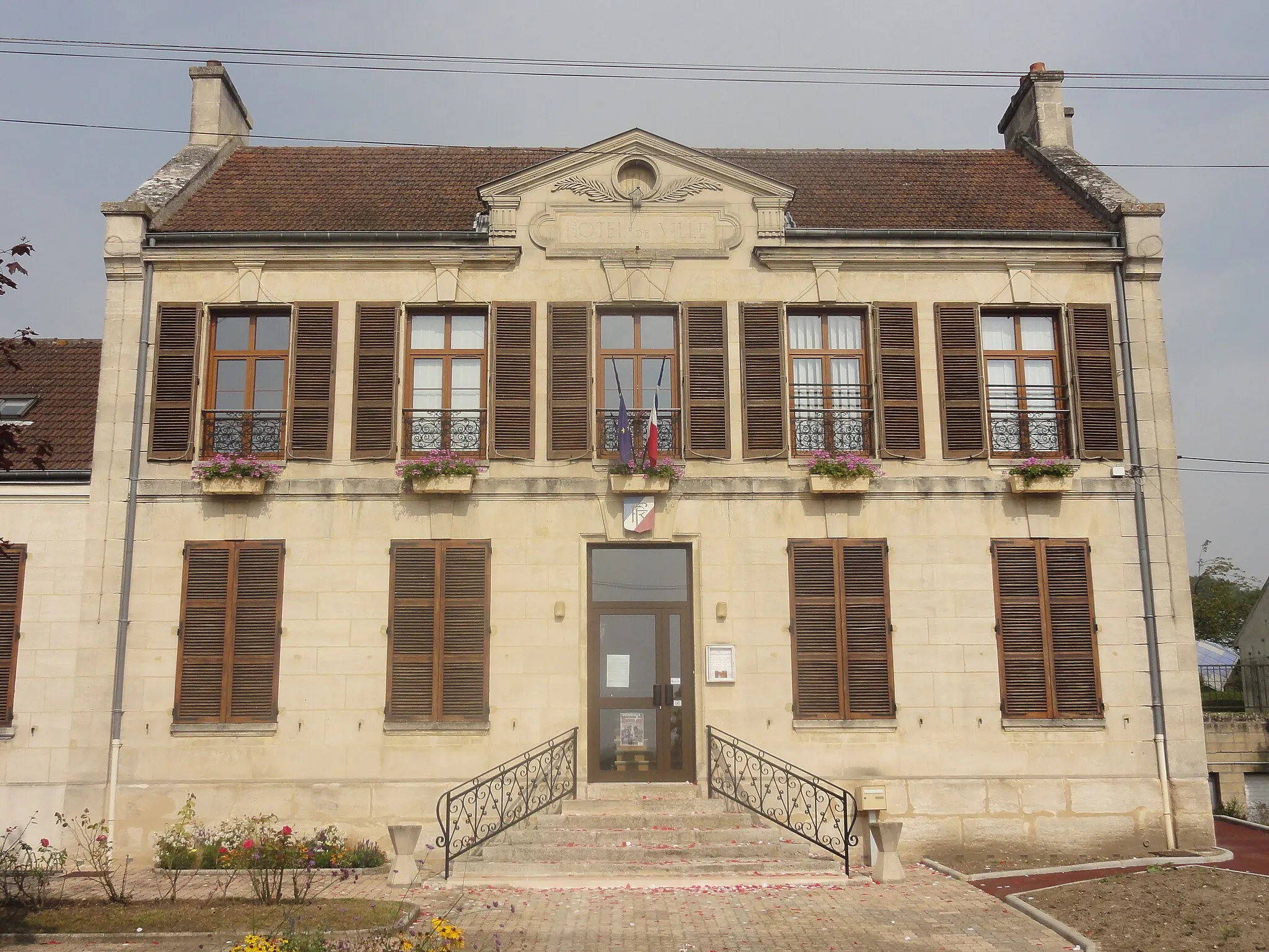
Start: Pontpoint Village centerPontpoint: Exploring the beauty of Picardie on two wheels
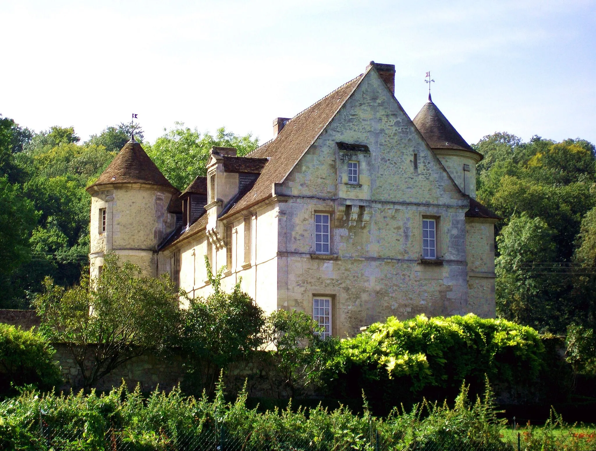
Pontpoint is a charming locality nestled in the Picardie region of France. For cycling enthusiasts, Pontpoint offers a mix of both road and off-road cycling experiences. One notable cycling spot in the area is the Château de Pontpoint, a historic castle that can be reached via a scenic road lined with beautiful landscapes. Additionally, there are several gravel paths and trails that take you through the picturesque countryside. While Pontpoint may not be renowned for its cycling attractions, it provides a pleasant and relaxing environment for cyclists to explore at their own pace.13 km
13 km
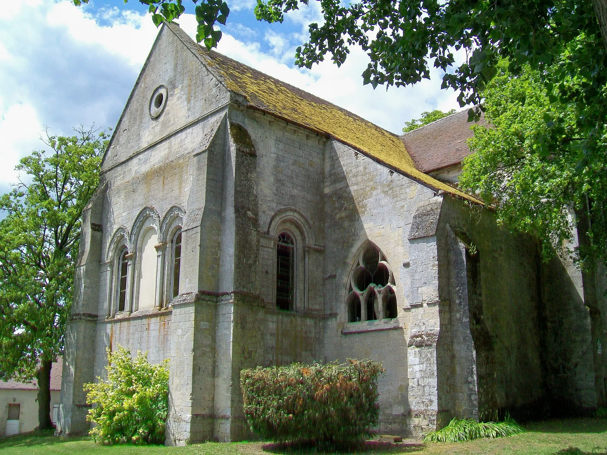
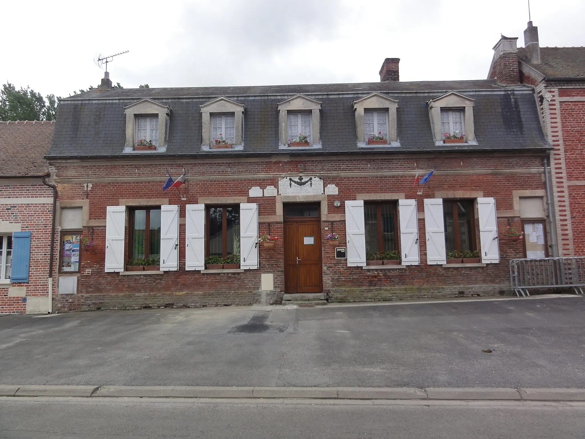
Verneuil-en-HalatteVillageMake a stop at Verneuil-en-Halatte and soak in its historic charm and scenic beauty.
19 km
19 km
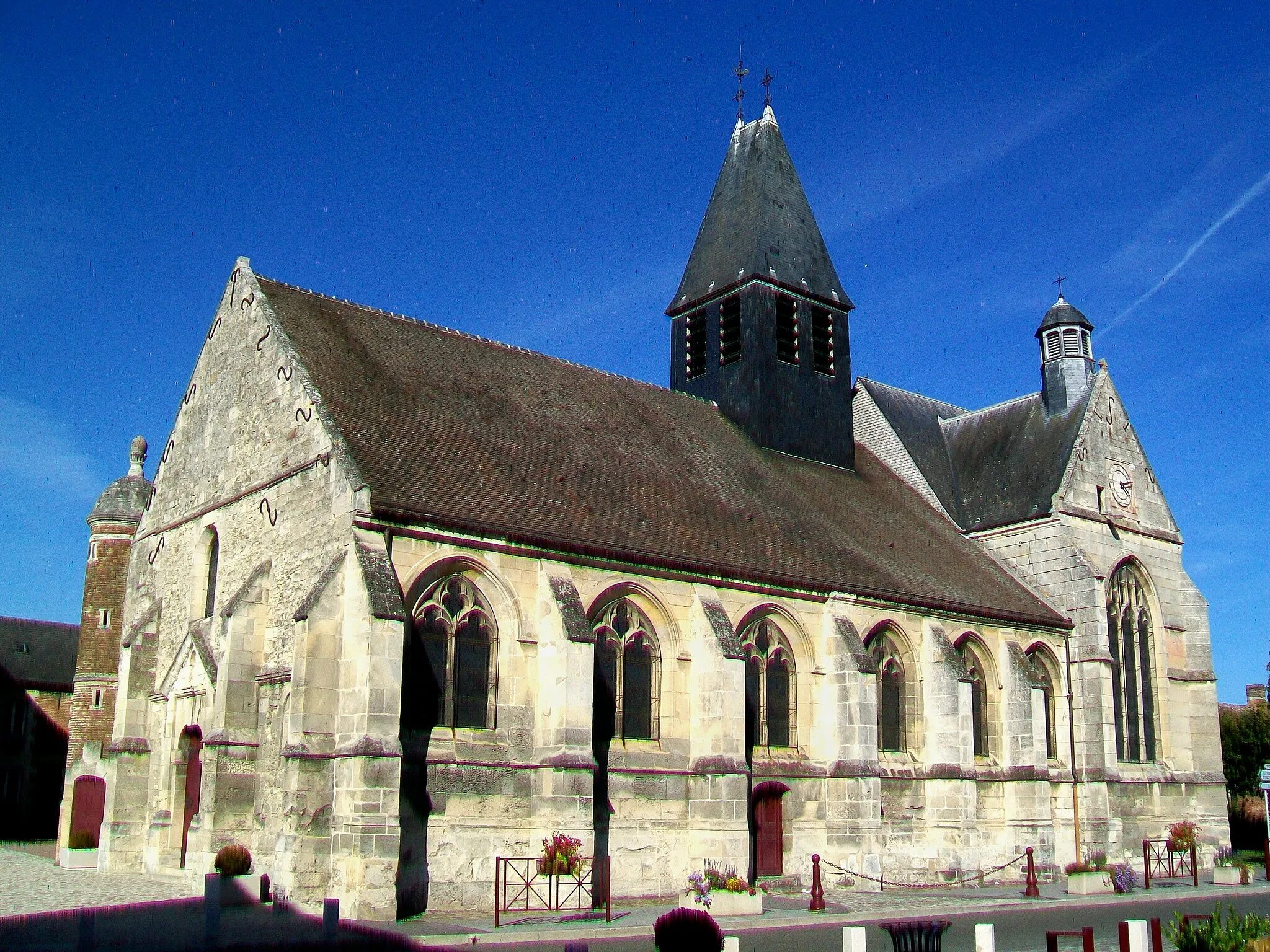
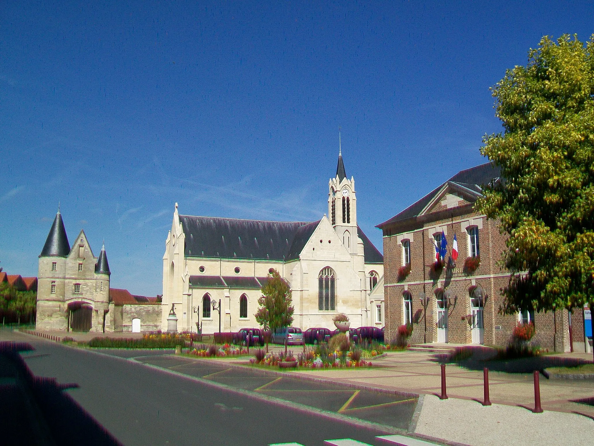
Nogent-sur-OiseTownExplore the town of Nogent-sur-Oise, known for its historic churches and medieval heritage.
32 km
32 km
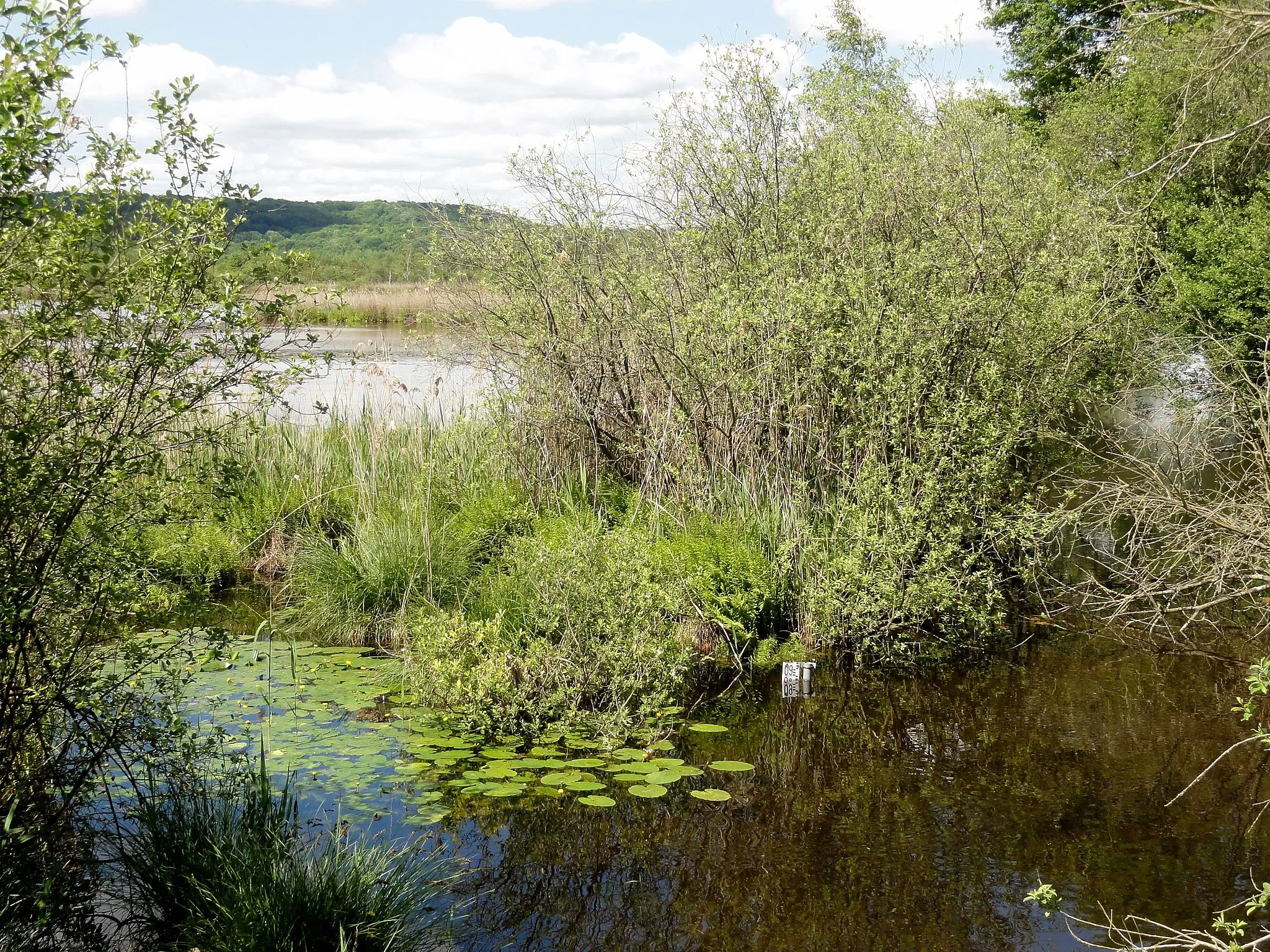
BaillevalVillageRide through the scenic landscapes of Bailleval, a charming village with a peaceful ambiance.
38 km
38 km
Mont César157 mPeakMarvel at the impressive Mont César, offering panoramic views of the surrounding mountains.
51 km
51 km
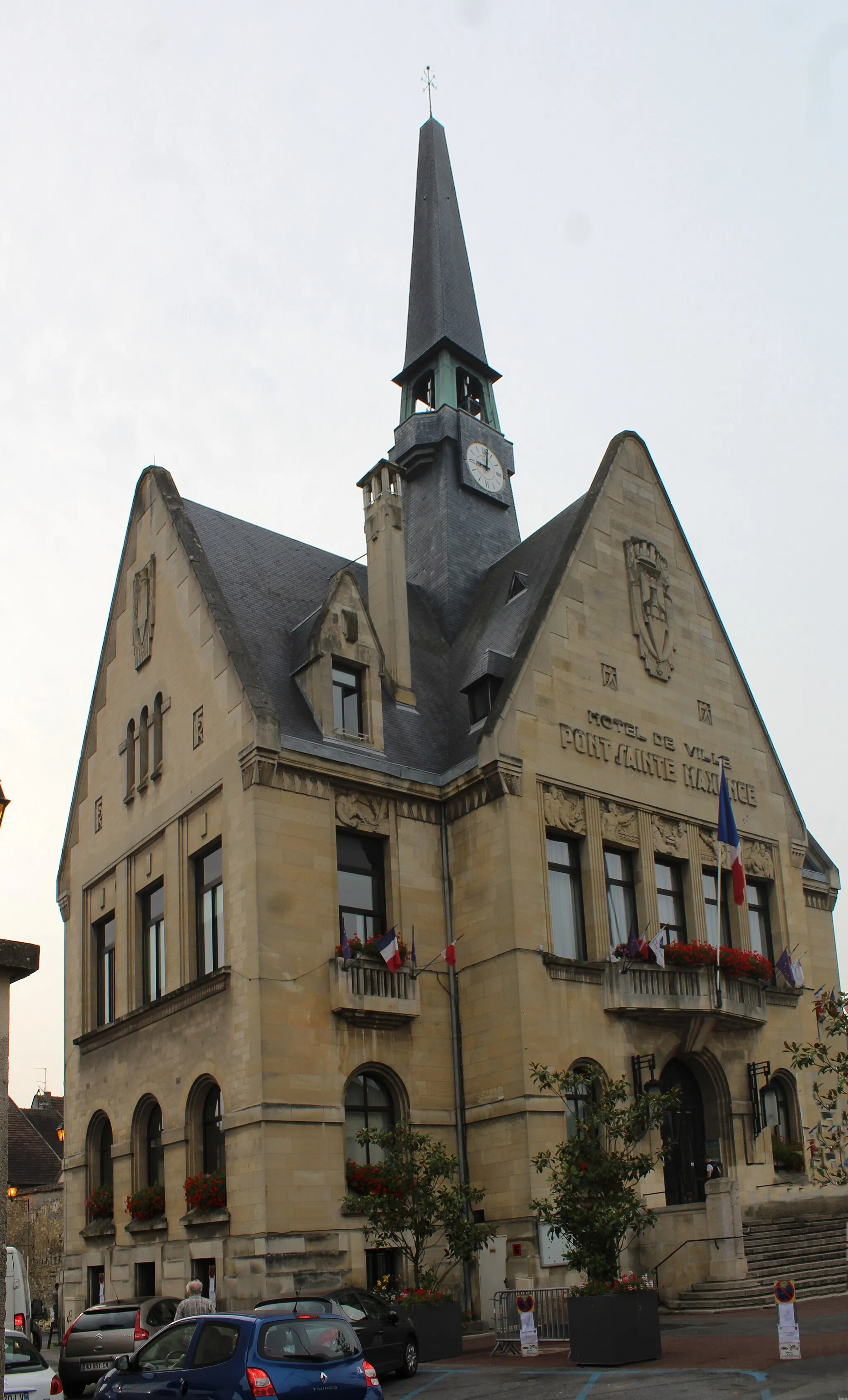
Pont-Sainte-MaxenceTownDiscover Pont-Sainte-Maxence, a picturesque town situated along the Oise River with its charming waterfront and historic sites.
55 km
55 km
Finish: Pontpoint Village centerPontpoint: Exploring the beauty of Picardie on two wheels
Cycling routes from Pontpoint:
Cycling routes nearby: