Gravel Adventure to Pont-Sainte-Maxence
A gravel cycling route starting from Pontpoint
Embark on an exciting gravel adventure to Pont-Sainte-Maxence
Map

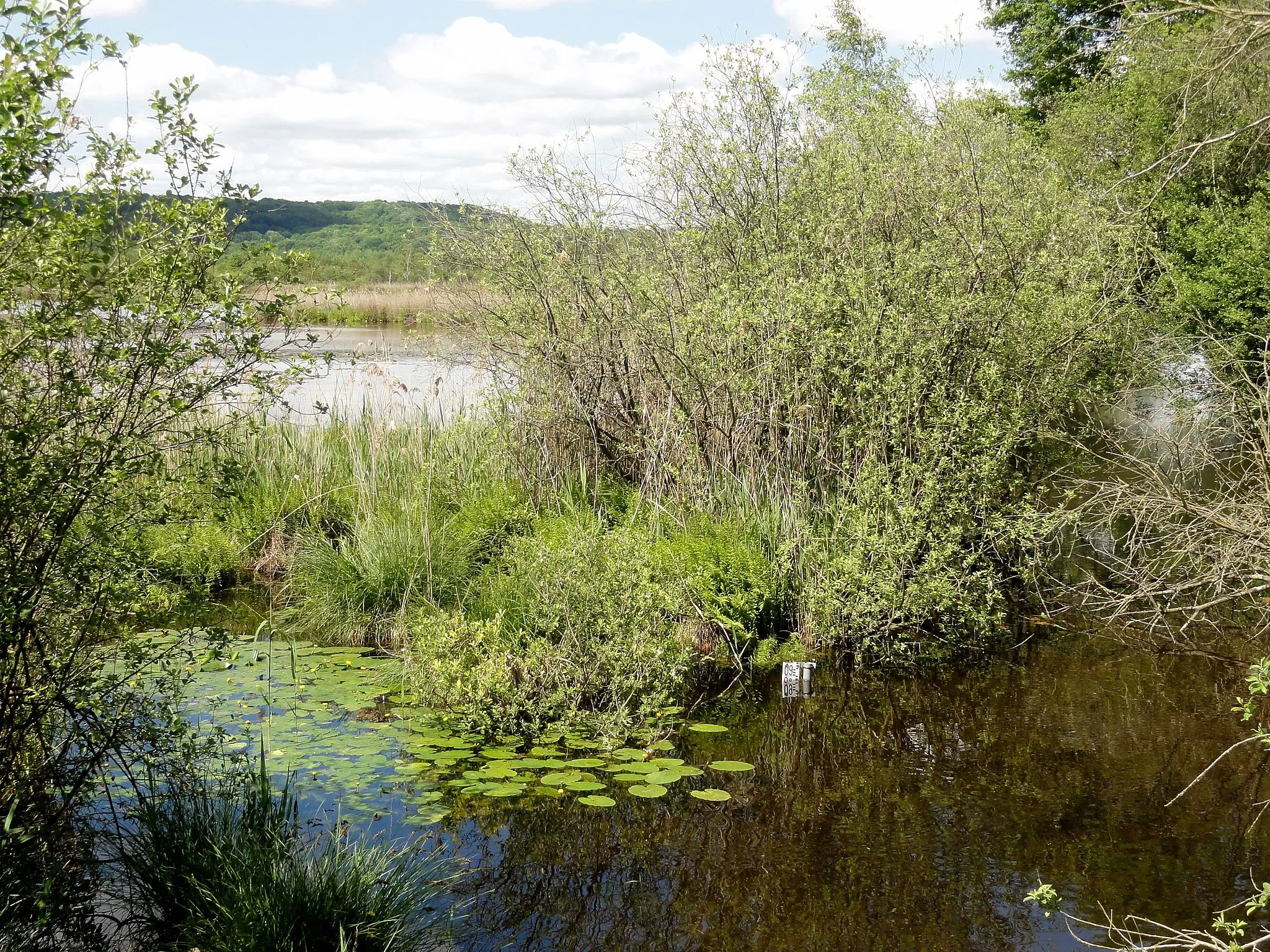
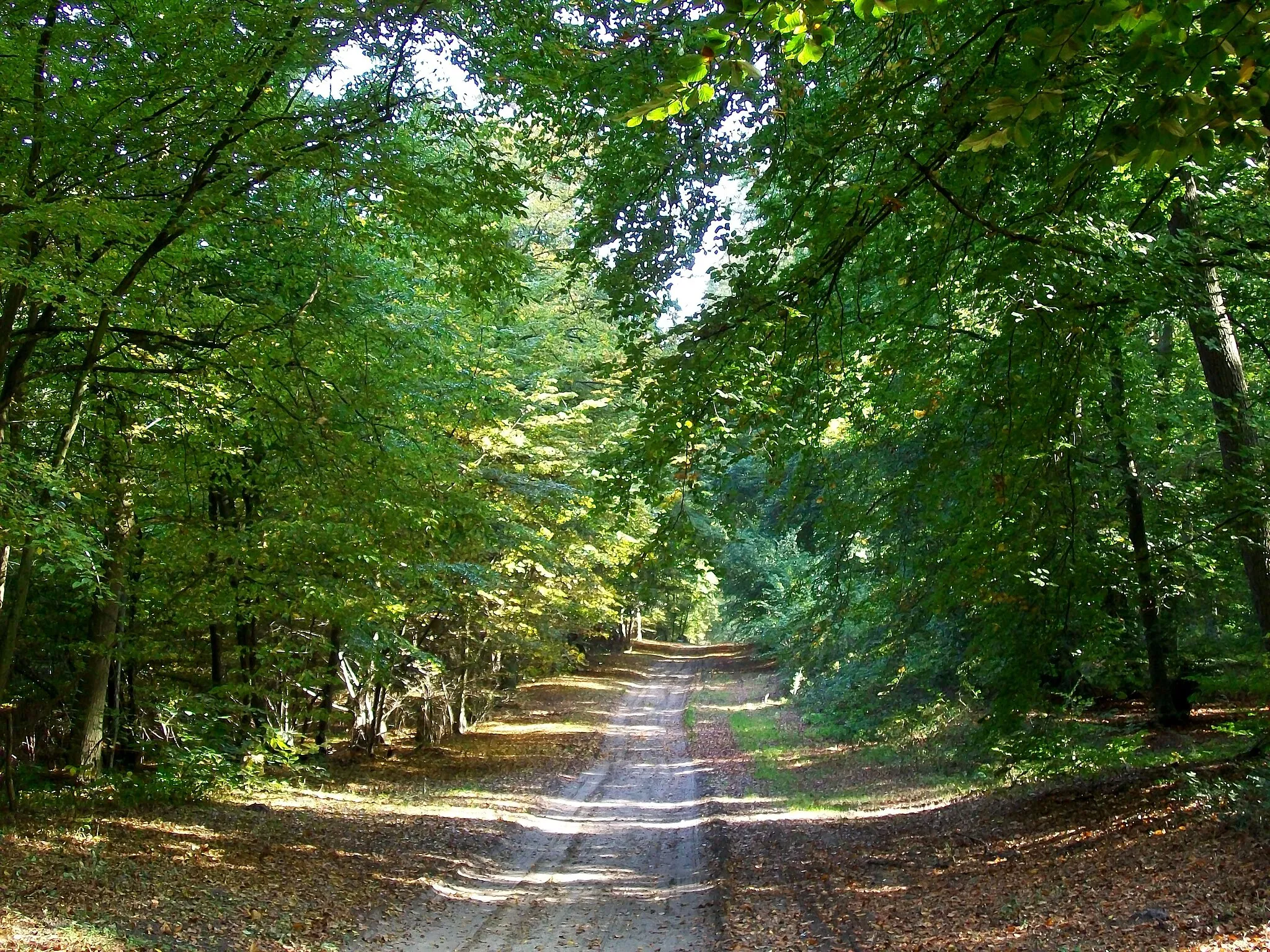
This gravel route takes you on a thrilling adventure through forests and open countryside to the charming town of Pont-Sainte-Maxence. With a moderate ascent of 378 meters over a distance of 33 kilometers, this route is suitable for experienced cyclists looking for a challenging off-road adventure. The epicness factor of this route is rated at 3, offering an exhilarating and memorable cycling experience. Highlights along the route include the iconic Pontpoint bridge, which provides stunning views of the surrounding landscape, and the Mont Pagnotte, a hill offering panoramic vistas. Overall, this route provides a unique and exciting gravel cycling experience in the beautiful Picardie region.
gravel
33 km
378 m
Tough
Route profile
Highlights on the route
0 km
0 km
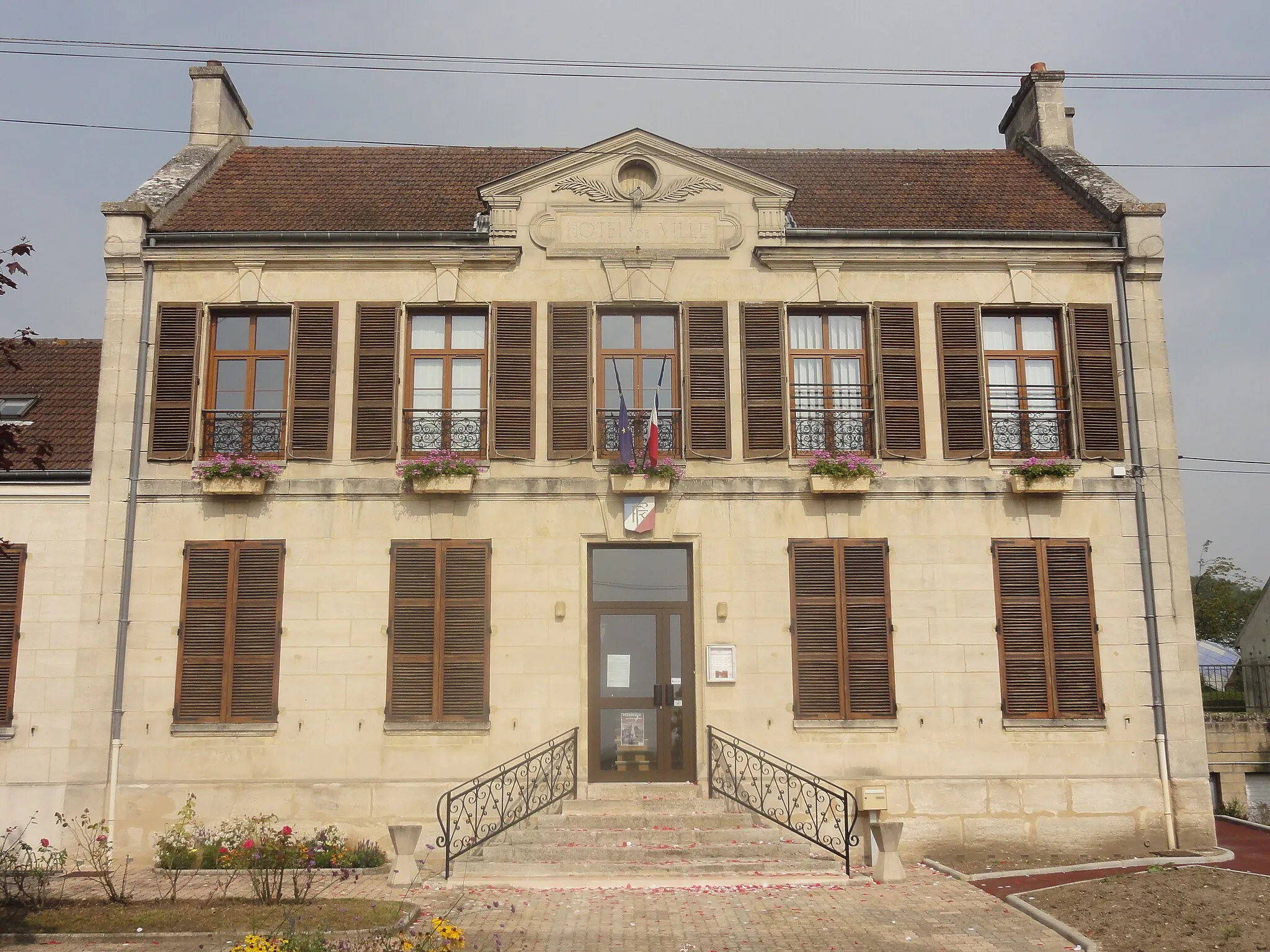
Start: Pontpoint Village centerPontpoint: Exploring the beauty of Picardie on two wheels
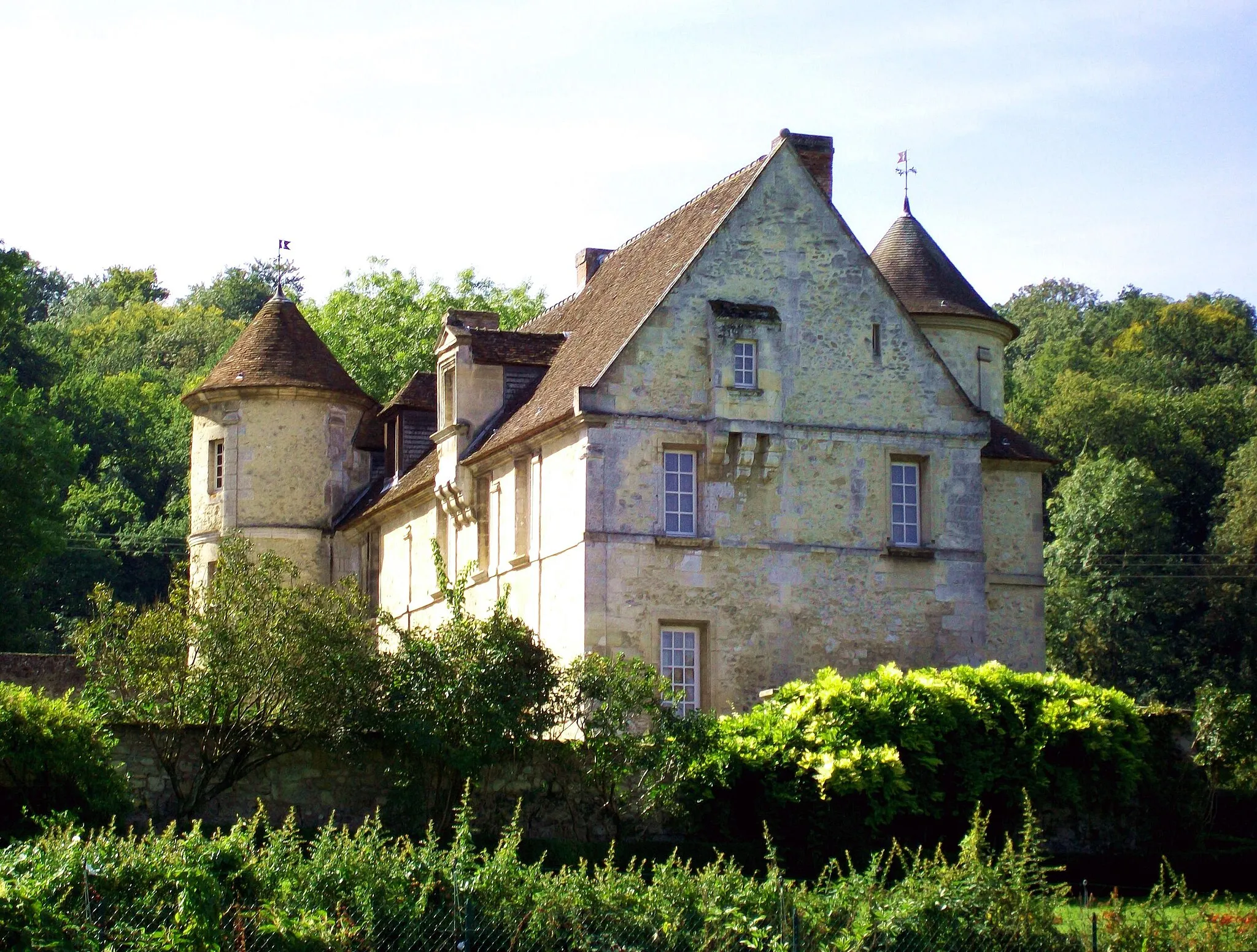
Pontpoint is a charming locality nestled in the Picardie region of France. For cycling enthusiasts, Pontpoint offers a mix of both road and off-road cycling experiences. One notable cycling spot in the area is the Château de Pontpoint, a historic castle that can be reached via a scenic road lined with beautiful landscapes. Additionally, there are several gravel paths and trails that take you through the picturesque countryside. While Pontpoint may not be renowned for its cycling attractions, it provides a pleasant and relaxing environment for cyclists to explore at their own pace.0 km
0 km
PontpointVillageThe Pontpoint bridge is a must-see landmark that offers breathtaking views of the Oise River. Stop here to take in the beauty of the surrounding countryside and capture memorable photos.
5 km
5 km
Mont Pagnotte222 mPeakMont Pagnotte is a scenic hill that offers panoramic vistas of the Picardie region. Challenge yourself with the climb and enjoy the reward of stunning views at the top.
18 km
18 km
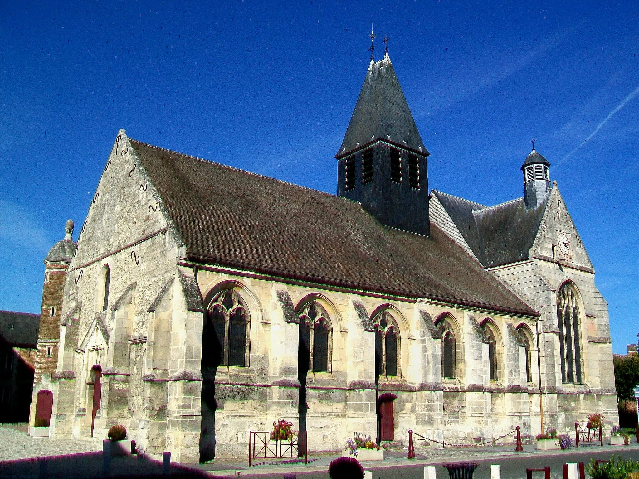
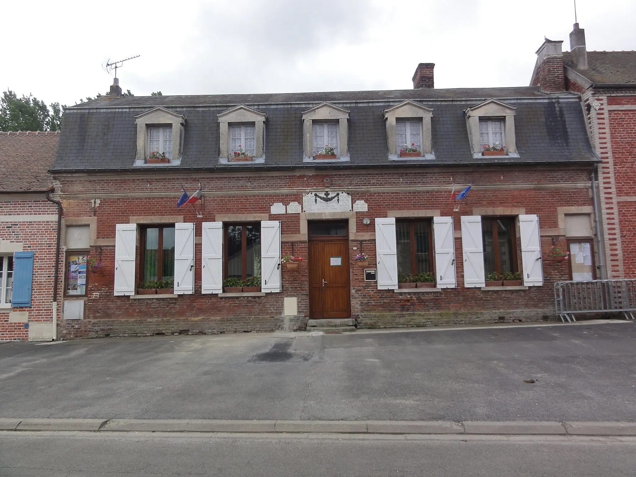
Aumont-en-HalatteVillageAumont-en-Halatte is a picturesque village with narrow streets and historic buildings. Explore the town and discover its hidden charms.
29 km
29 km
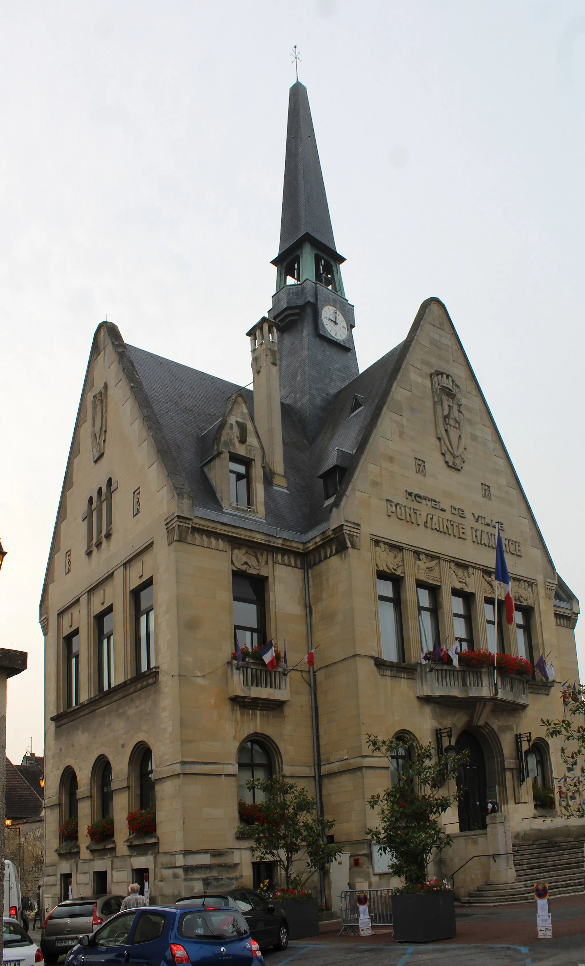
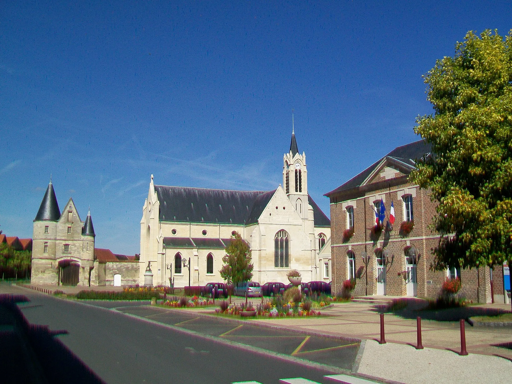
Pont-Sainte-MaxenceTownPont-Sainte-Maxence is a charming riverside town with a rich history. Visit the medieval castle and explore the picturesque streets to experience its unique atmosphere.
33 km
33 km
Finish: Pontpoint Village centerPontpoint: Exploring the beauty of Picardie on two wheels
Cycling routes from Pontpoint:
Cycling routes nearby: