Ultimate Gravel Challenge
A gravel cycling route starting from La Bouilladisse
Conquer the challenging gravel routes near Peypin
Map

Prepare yourself for an ultimate gravel challenge with this 96 km long route near Peypin. With an ascent of 2101 m, this route is ideal for experienced cyclists seeking a thrilling off-road adventure. Highlights along the route include Saint-Jean du Puy, Crespin, Rougiers, Mazaugues, Pié de Gueirard, Signal des Béguines, Plan-d'Aups-Sainte-Baume, Auriol, and La Cride. These highlights offer breathtaking views, historic sites, and an opportunity to immerse yourself in the natural beauty of the region.
gravel
96 km
2101 m
Savage
Route profile
Highlights on the route
0 km
0 km
Start: Peypin Village centerLa Bouilladisse: Thrilling Climbs in Provence-Alpes-Côte d'Azur
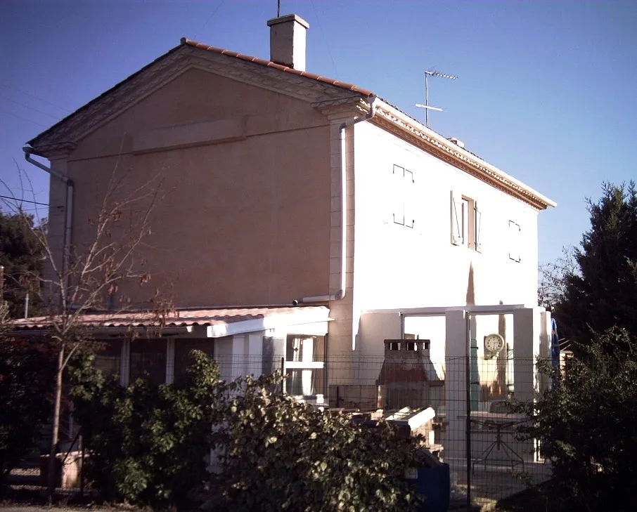
La Bouilladisse, situated in the Provence-Alpes-Côte d'Azur region of France, offers stunning cycling routes for both road and gravel cyclists. The town is surrounded by beautiful mountains and scenic landscapes, providing a challenging yet rewarding riding experience. One well-known cycling spot nearby is the Mont Ventoux, a legendary climb that attracts cyclists from around the world. Overall, La Bouilladisse is a top choice for cyclists seeking thrilling climbs and breathtaking views.0 km
0 km
PeypinVillagePeypin is a charming village located near the starting point of the route. It offers a true Provençal experience with its narrow streets and ancient buildings.
17 km
17 km
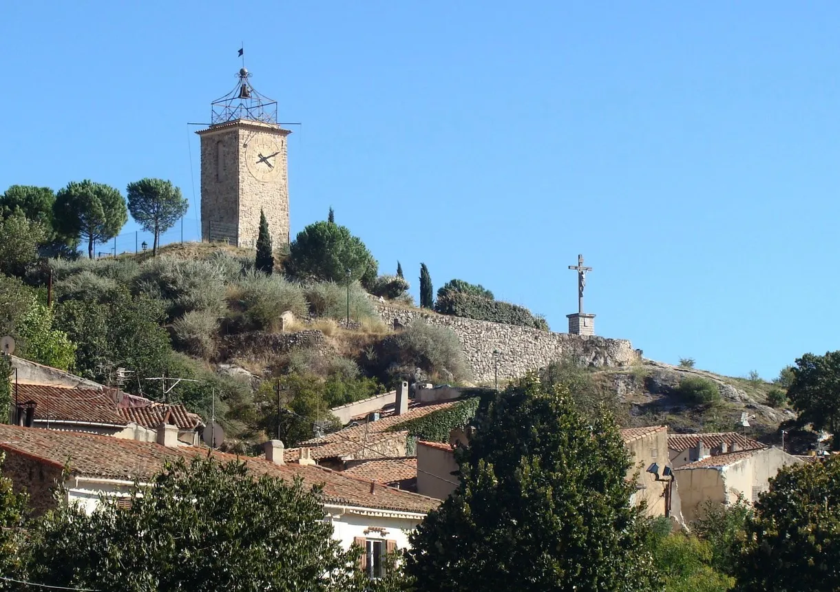
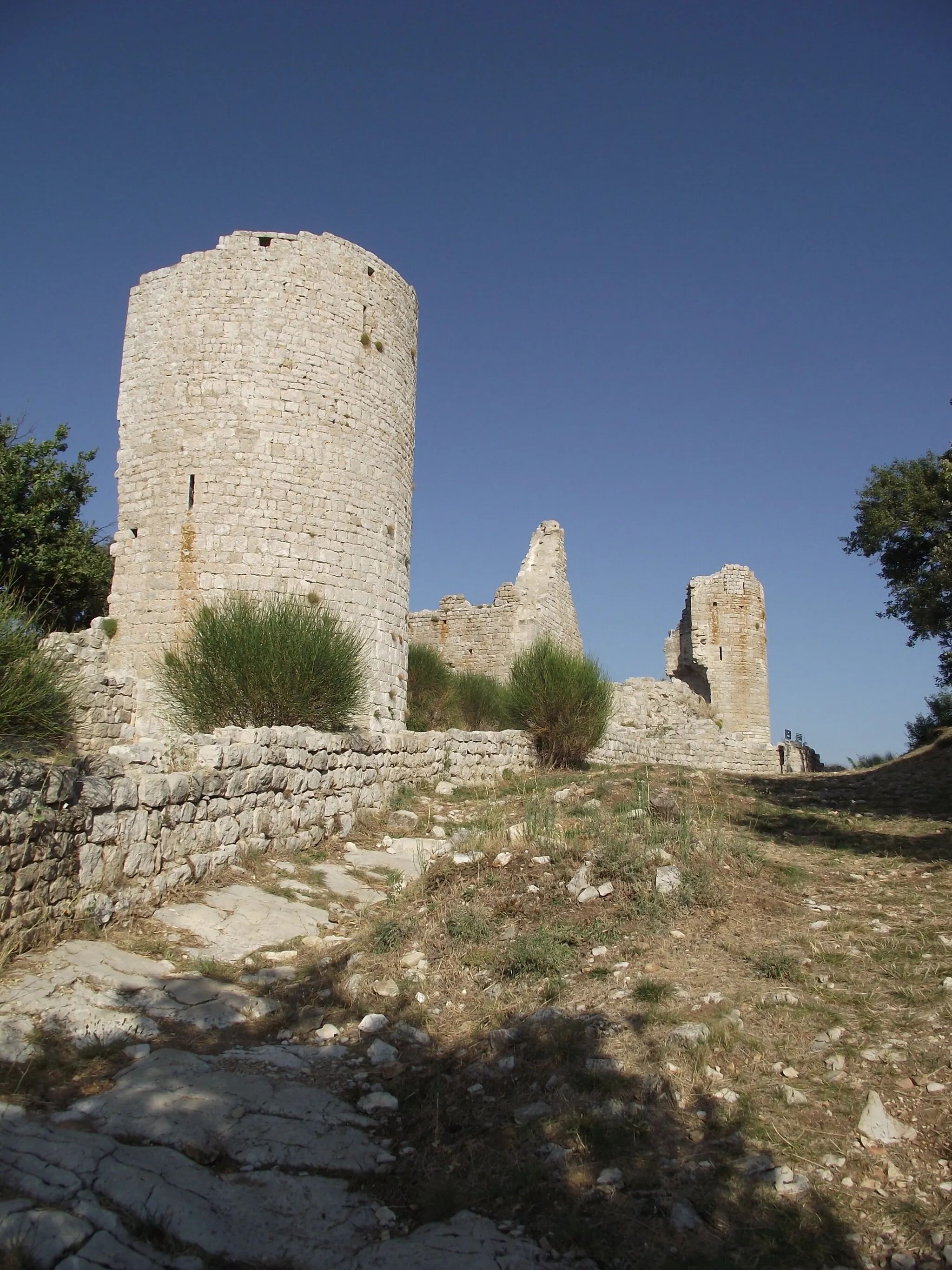
Saint-Jean du PuyViewpointSaint-Jean du Puy is a picturesque hilltop village known for its medieval architecture and stunning panoramic views.
24 km
24 km
Crespin626 mPeakCrespin is a tranquil village surrounded by rolling hills and lush greenery.
33 km
33 km
RougiersVillageRougiers is a historic village with narrow streets and traditional Provençal houses.
54 km
54 km
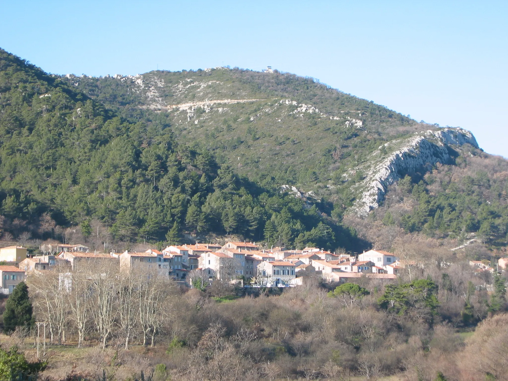
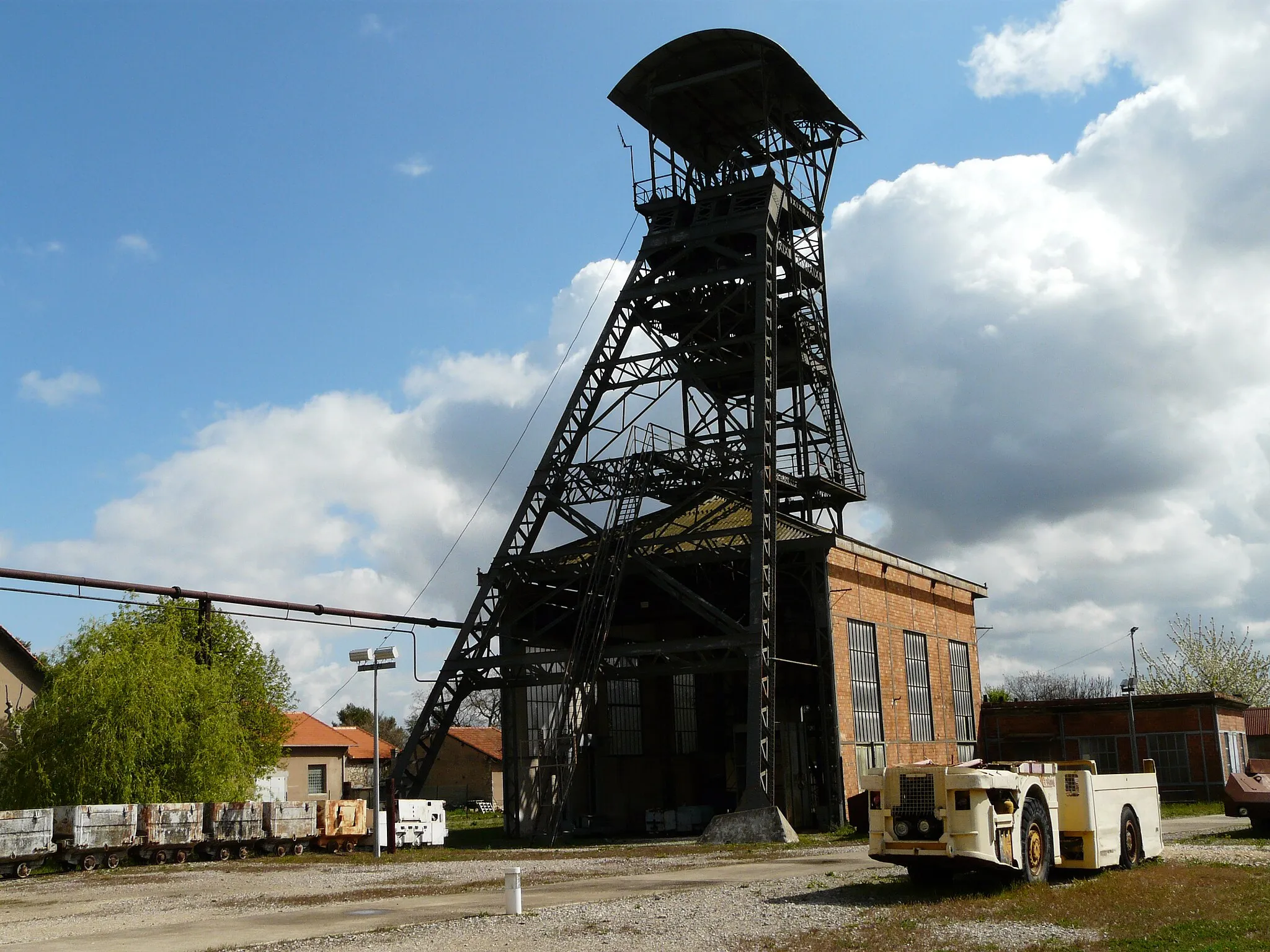
MazauguesVillageMazaugues is a small village known for its calm and rural atmosphere. It is surrounded by scenic landscapes and offers a peaceful retreat.
57 km
57 km
Pié de Gueirard570 mPeakPié de Gueirard is a natural site with unique rock formations and panoramic views of the surrounding countryside.
68 km
68 km
Signal des Béguines1148 mPeakSignal des Béguines is a mountain peak offering stunning panoramic views of the region. It is a popular hiking spot.
77 km
77 km
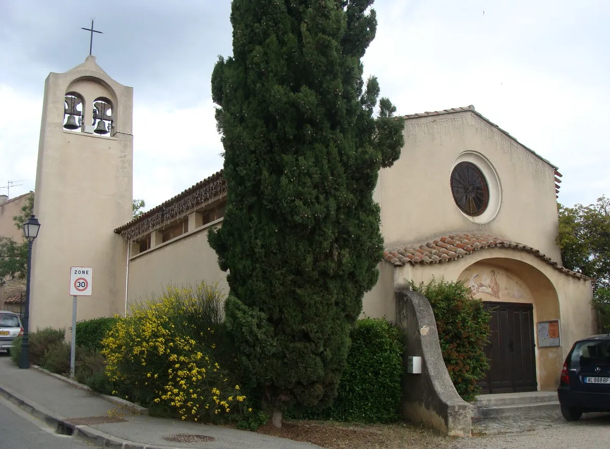
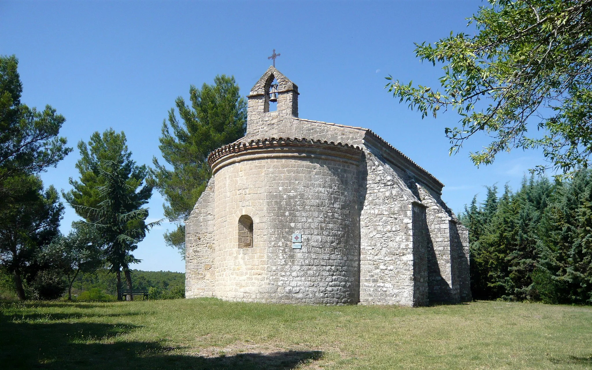
Plan-d'Aups-Sainte-BaumeVillagePlan-d'Aups-Sainte-Baume is a charming village known for its connections to Saint Mary Magdalene. It is situated at the foot of the Sainte-Baume massif.
90 km
90 km
AuriolTownAuriol is a picturesque village surrounded by olive groves and vineyards. It offers a peaceful and serene ambiance.
96 km
96 km
La Cride442 mPeakLa Cride is a scenic mountain pass offering stunning views of the surrounding countryside.
96 km
96 km
Finish: Peypin Village centerLa Bouilladisse: Thrilling Climbs in Provence-Alpes-Côte d'Azur
Cycling routes from La Bouilladisse:
Climbing Challenge and Scenic Beauty near La Bouilladisse Scenic Road Tour Gravel Adventure in Provence Scenic Road Cycling Adventure near La Bouilladisse Ultimate Gravel Challenge Scenic Road cycling around La Bouilladisse La Bouilladisse Loop Gravel Adventure in Auriol Exploring the Gravel Paths of La Bouilladisse Challenging Gravel Adventure with Scenic Highlights
Cycling routes nearby: