Le Muy - Les Trois Croix - Roquebrune-sur-Argens - Sommet Bourète - Sainte-Maxime - San Peïre - Le Plan-de-la-Tour - Sommet de Castel Diol - Le Counillier
A gravel cycling route starting from Le Muy
An adventurous gravel route with stunning coastal views and challenging climbs
Map

Embark on an adventurous gravel journey near Le Muy with this route that covers a distance of 74km and has an elevation gain of 1638m. The route takes you through scenic locations such as Les Trois Croix, Roquebrune-sur-Argens, and Sainte-Maxime, offering stunning coastal views. Highlights include the summit of Bourète and the beautiful town of Le Plan-de-la-Tour. With its challenging climbs and picturesque landscapes, this route is recommended for experienced gravel riders seeking a thrilling cycling experience.
gravel
74 km
1638 m
Savage
Route profile
Highlights on the route
0 km
0 km
Start: Le Muy Village centerLe Muy: Cycling paradise in Provence
Le Muy, located in the Provence-Alpes-Côte d’Azur region of France, offers diverse cycling opportunities for road and gravel cyclists. The town is surrounded by beautiful countryside, featuring rolling hills and scenic routes. Road cyclists can enjoy the nearby Gorges du Verdon, a well-known cycling route with stunning views. For gravel cyclists, there are several off-road trails available. Overall, Le Muy is a fantastic destination for cyclists, with its picturesque landscapes and variety of cycling options.5 km
5 km
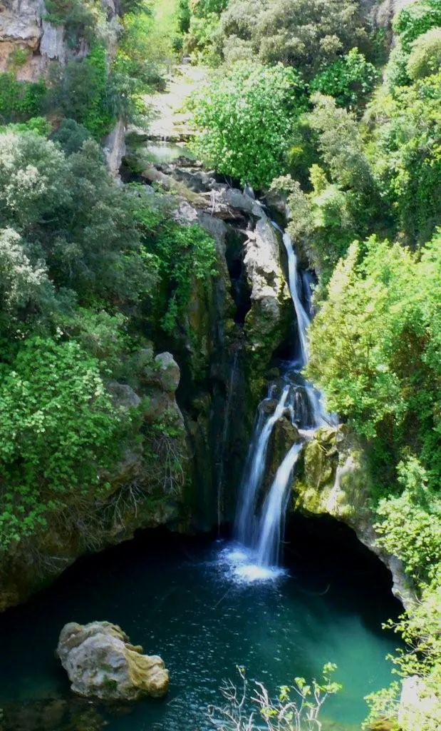
Les Trois Croix373 mPeakMarvel at the three iconic crosses of Les Trois Croix and enjoy panoramic views of the region.
8 km
8 km
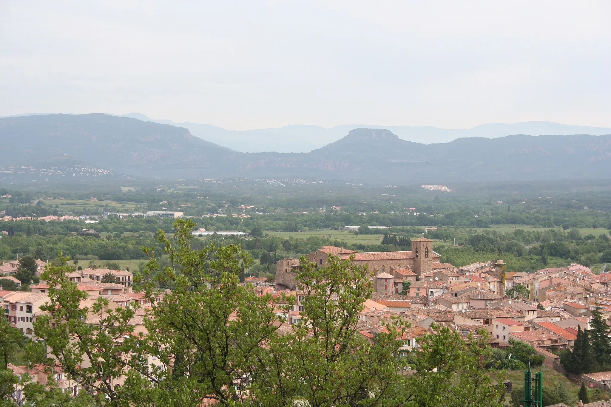
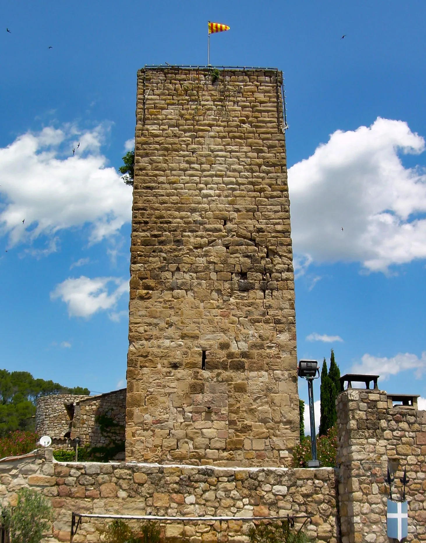
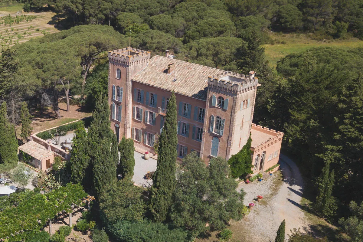
Roquebrune-sur-ArgensTownCycle through the charming town of Roquebrune-sur-Argens and immerse yourself in its historical heritage.
17 km
17 km
Sommet Bourète169 mPeakReach the summit of Bourète and be rewarded with breathtaking views of the surrounding area.
30 km
30 km
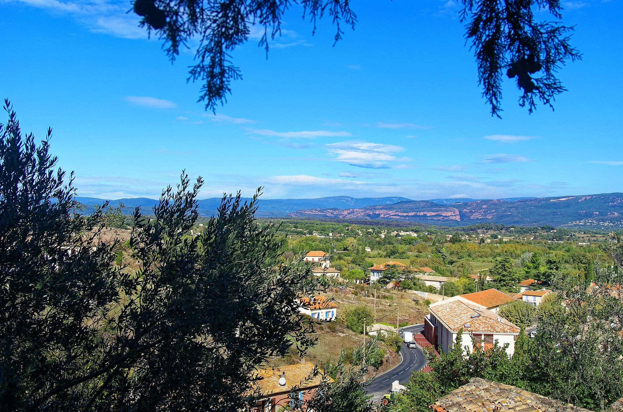
Sainte-MaximeTownExperience the vibrant atmosphere of Sainte-Maxime and take in the stunning coastal scenery.
41 km
41 km
San Peïre416 mPeakVisit San Peïre and relax on its beautiful beaches, surrounded by crystal-clear waters.
45 km
45 km
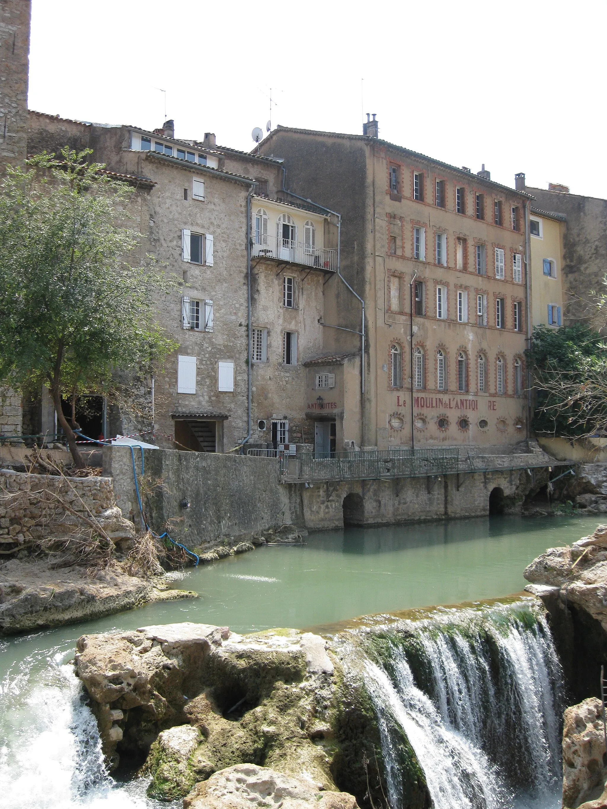
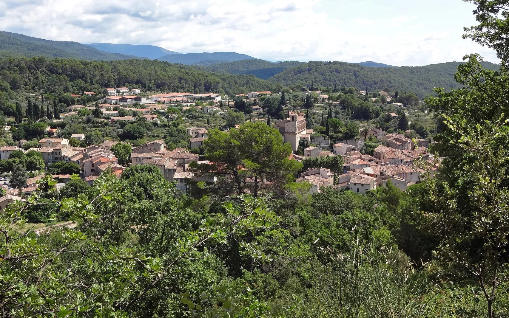
Le Plan-de-la-TourVillageExplore the charming village of Le Plan-de-la-Tour, known for its natural beauty and peaceful atmosphere.
61 km
61 km
Sommet de Castel Diol353 mPeakConquer the summit of Castel Diol and enjoy sweeping views of the Provençal landscape.
71 km
71 km
Le Counillier175 mPeakChallenge yourself with the ascent of Le Counillier, a thrilling climb amidst stunning surroundings.
74 km
74 km
Finish: Le Muy Village centerLe Muy: Cycling paradise in Provence
Cycling routes from Le Muy:
Exploring the Coastal Beauty of Sainte-Maxime Exploring Backroads of Provence Le Muy - Chapelle de la Trinité (ruines) - Saint-Paul-en-Forêt - Collet Rollan Le Muy - Les Trois Croix - Roquebrune-sur-Argens - Sommet Bourète - Sainte-Maxime - San Peïre - Le Plan-de-la-Tour - Sommet de Castel Diol - Le Counillier Tour of the Maures Massif Le Muy - Les Allons - Roquebrune-sur-Argens - Col de Valdingarde - Le Counillier Gravel Adventure in the Var Region The Provence Wine Route Le Muy - Gorges du Blavet - Parking capel Amont - La Haute Carpenée - Collet de Gaudon - Colle du Mouton - La Roquette-sur-Siagne - Château de la Napoule - Dent de l'Ours - Colle d'Allons - Amphithéâtre romain de Fréjus Le Muy - La Motte - Malmont - Châteaudouble - Peygros - Callas - Collet de Delphine Exploring the Winding Gorges du Blavet Adventurous Gravel Exploration In the Footsteps of Legends The Ultimate Gravel Challenge
Cycling routes nearby: