The Ultimate Gravel Challenge
A gravel cycling route starting from Le Muy
Challenge yourself to an epic gravel adventure through iconic landscapes and legendary climbs.
Map
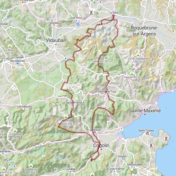
With a distance of 104 kilometers and an ascent of 2053 meters, this gravel route is reserved for experienced cyclists seeking the ultimate challenge. From the Sommet de Castel Diol to the famous Barre de Pouarré, this route takes you through iconic locations and offers stunning panoramic views. Rated with a difficulty of 5 and an epicness of 5, this route is guaranteed to test your skills and leave you in awe.
gravel
104 km
2053 m
Savage
Route profile
Highlights on the route
0 km
0 km
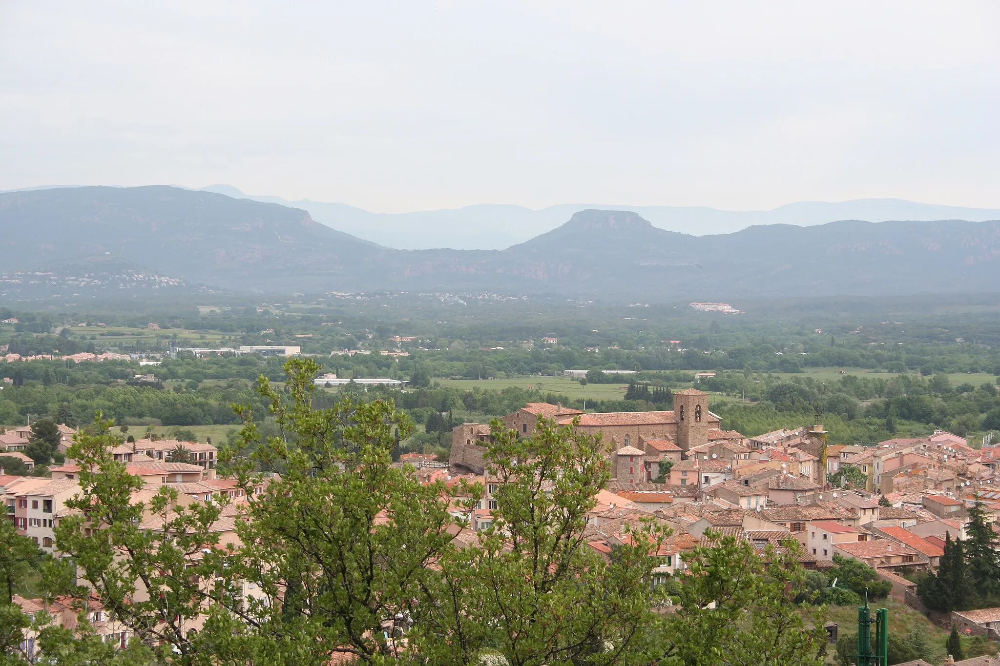
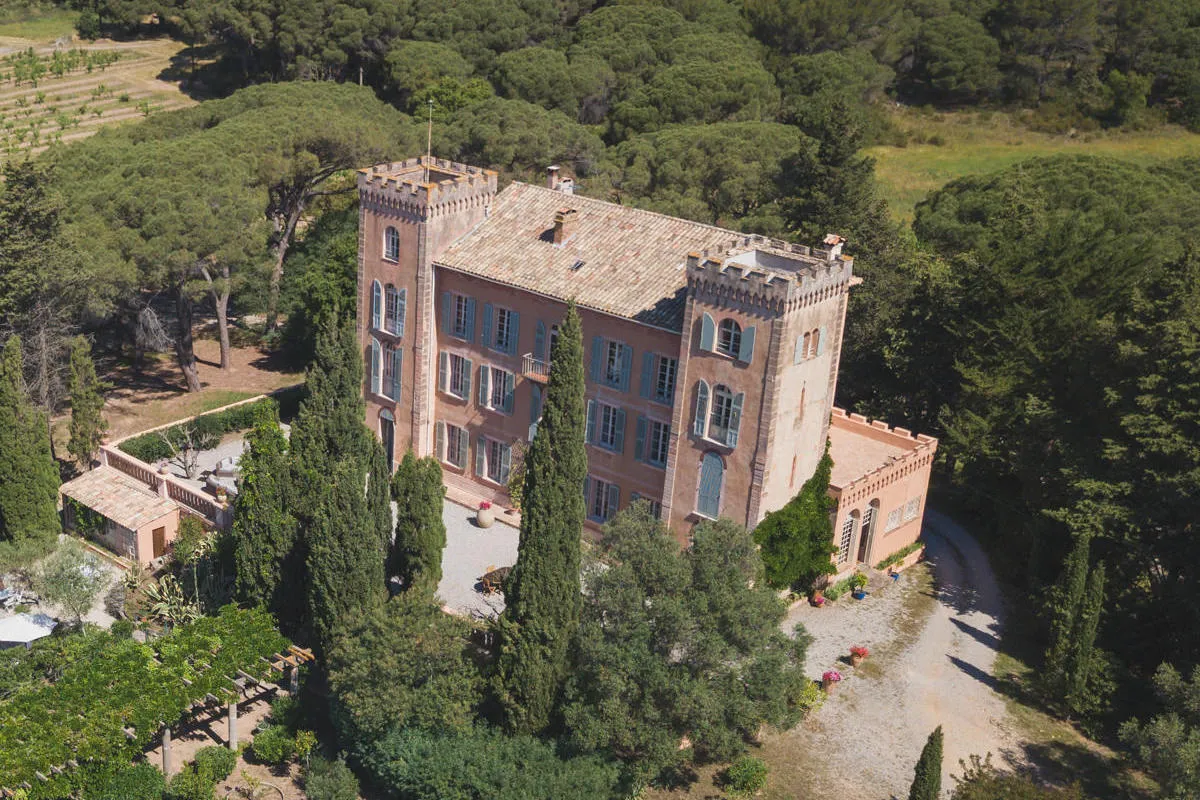
Start: Le Muy Village centerLe Muy: Cycling paradise in Provence
Le Muy, located in the Provence-Alpes-Côte d’Azur region of France, offers diverse cycling opportunities for road and gravel cyclists. The town is surrounded by beautiful countryside, featuring rolling hills and scenic routes. Road cyclists can enjoy the nearby Gorges du Verdon, a well-known cycling route with stunning views. For gravel cyclists, there are several off-road trails available. Overall, Le Muy is a fantastic destination for cyclists, with its picturesque landscapes and variety of cycling options.13 km
13 km
Sommet de Castel Diol353 mPeakConquer the Sommet de Castel Diol and enjoy the breathtaking vistas from its summit.
24 km
24 km
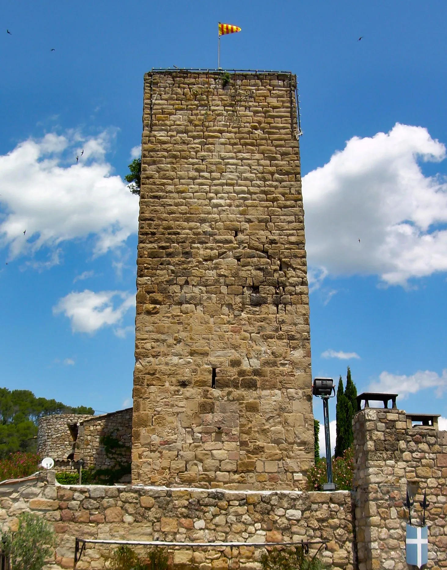
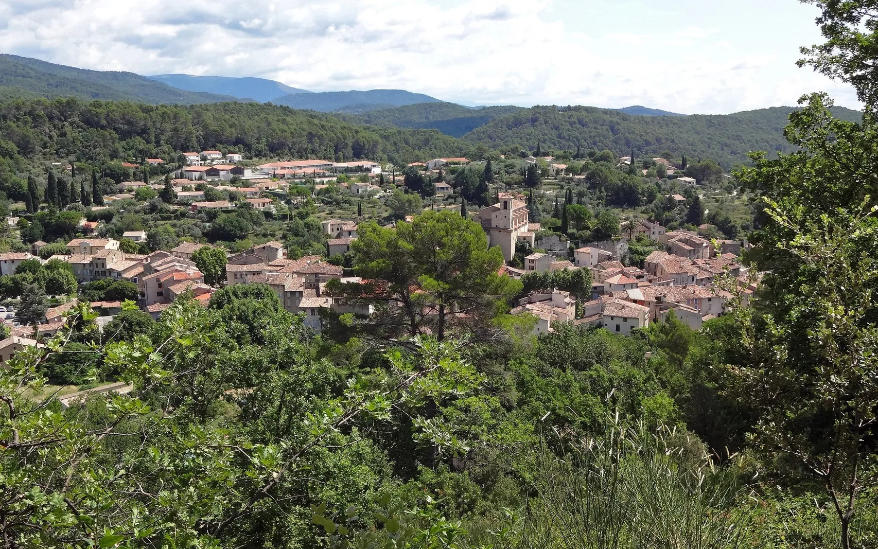
Le Plan-de-la-TourVillageVisit the charming town of Le Plan-de-la-Tour, known for its medieval architecture and heritage.
29 km
29 km
San Peïre416 mPeakEnjoy the tranquility of San Peïre, a picturesque village nestled amidst scenic landscapes.
38 km
38 km
Mont Roux254 mPeakChallenge yourself with the demanding ascent of Mont Roux, offering panoramic views as a reward.
39 km
39 km
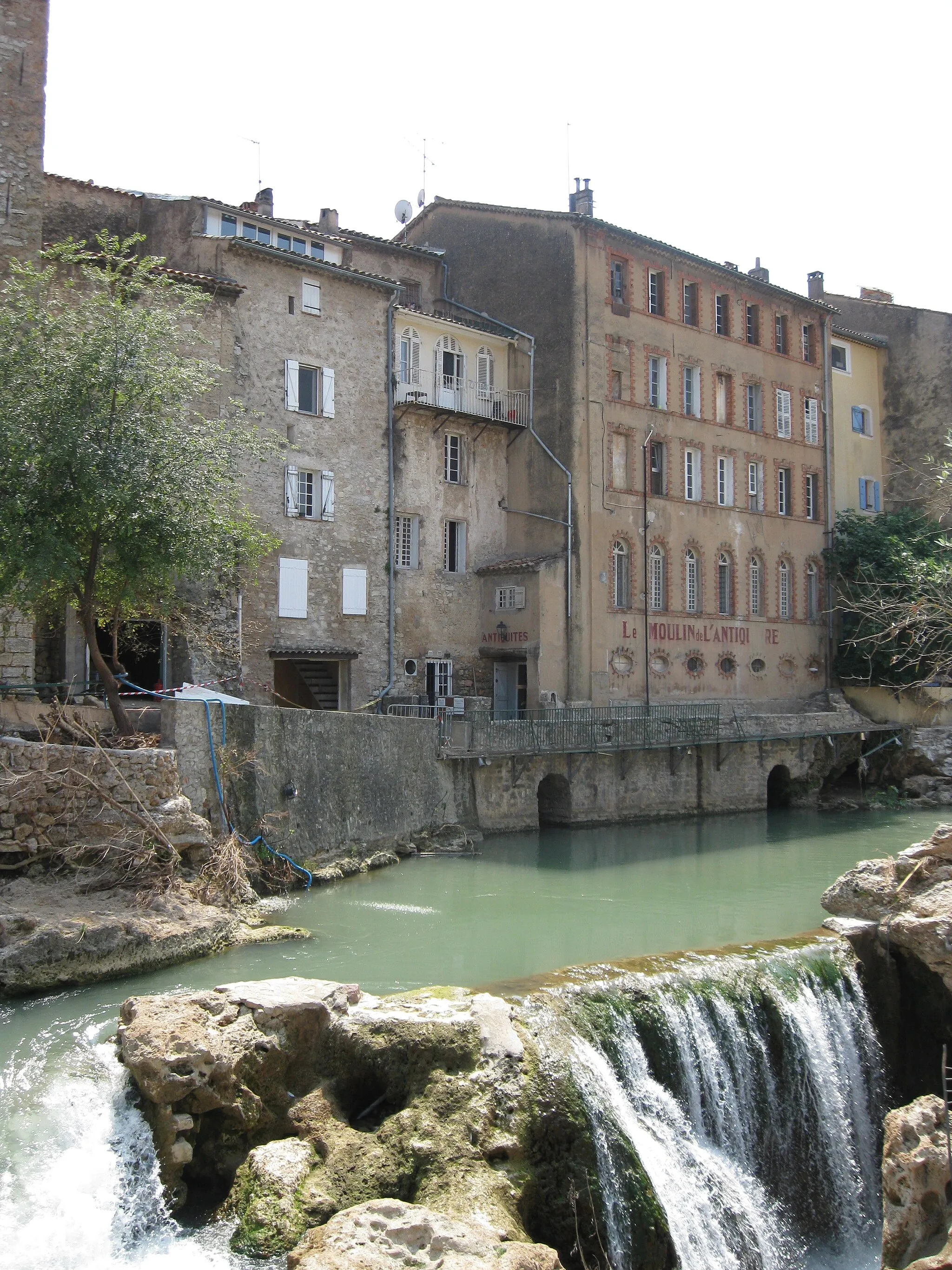
GrimaudVillageExplore the medieval town of Grimaud, filled with historic charm and cobblestone streets.
58 km
58 km
Val de GillyHamletCycle through the scenic Val de Gilly, surrounded by lush greenery and rolling hills.
68 km
68 km
La Croix des Maures437 mPeak ViewpointReach the summit of La Croix des Maures and admire the majestic views from its vantage point.
68 km
68 km
La Garde-FreinetVillageDiscover the captivating beauty of La Garde-Freinet, a charming village embraced by nature.
81 km
81 km
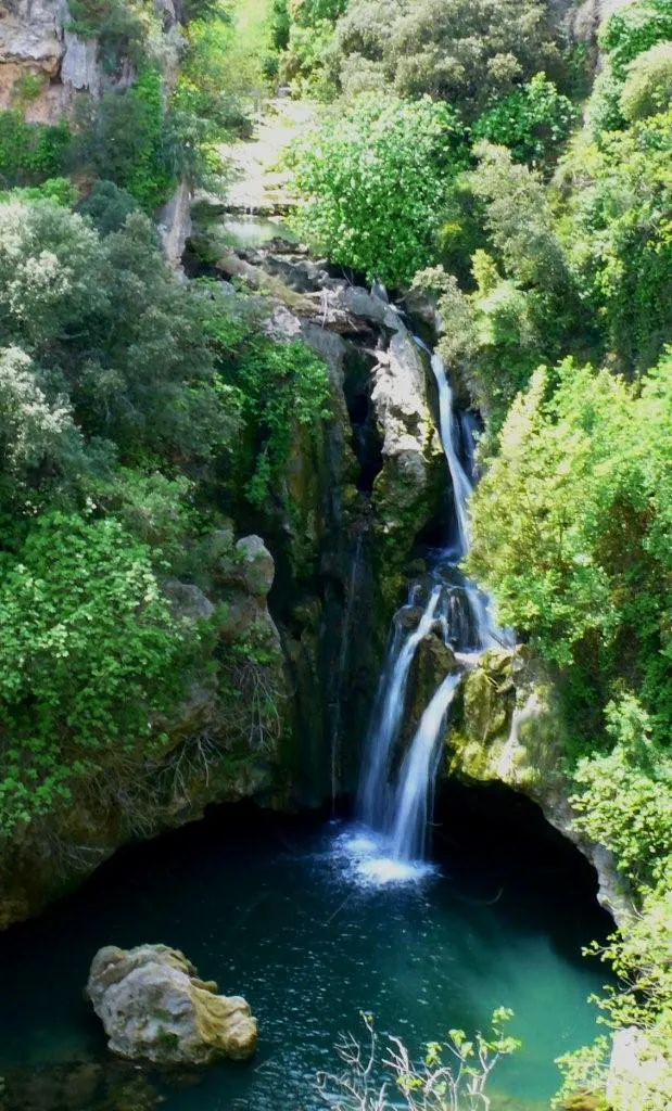
Cascade de l'AilleWaterfallUncover the magical Cascade de l'Aille, a hidden waterfall located in a peaceful forest.
97 km
97 km
Barre de Pouarré164 mPeakTest your limits with the iconic Barre de Pouarré, a legendary climb known for its steep and challenging sections.
104 km
104 km
Finish: Le Muy Village centerLe Muy: Cycling paradise in Provence
Cycling routes from Le Muy:
Exploring the Coastal Beauty of Sainte-Maxime Exploring Backroads of Provence Le Muy - Chapelle de la Trinité (ruines) - Saint-Paul-en-Forêt - Collet Rollan Le Muy - Les Trois Croix - Roquebrune-sur-Argens - Sommet Bourète - Sainte-Maxime - San Peïre - Le Plan-de-la-Tour - Sommet de Castel Diol - Le Counillier Tour of the Maures Massif Le Muy - Les Allons - Roquebrune-sur-Argens - Col de Valdingarde - Le Counillier Gravel Adventure in the Var Region The Provence Wine Route Le Muy - Gorges du Blavet - Parking capel Amont - La Haute Carpenée - Collet de Gaudon - Colle du Mouton - La Roquette-sur-Siagne - Château de la Napoule - Dent de l'Ours - Colle d'Allons - Amphithéâtre romain de Fréjus Le Muy - La Motte - Malmont - Châteaudouble - Peygros - Callas - Collet de Delphine Exploring the Winding Gorges du Blavet Adventurous Gravel Exploration In the Footsteps of Legends The Ultimate Gravel Challenge
Cycling routes nearby: