Pergine Adventure Ride
A gravel cycling route starting from Le Tholonet
Explore the charming countryside near Le Tholonet on this gravel adventure
Map

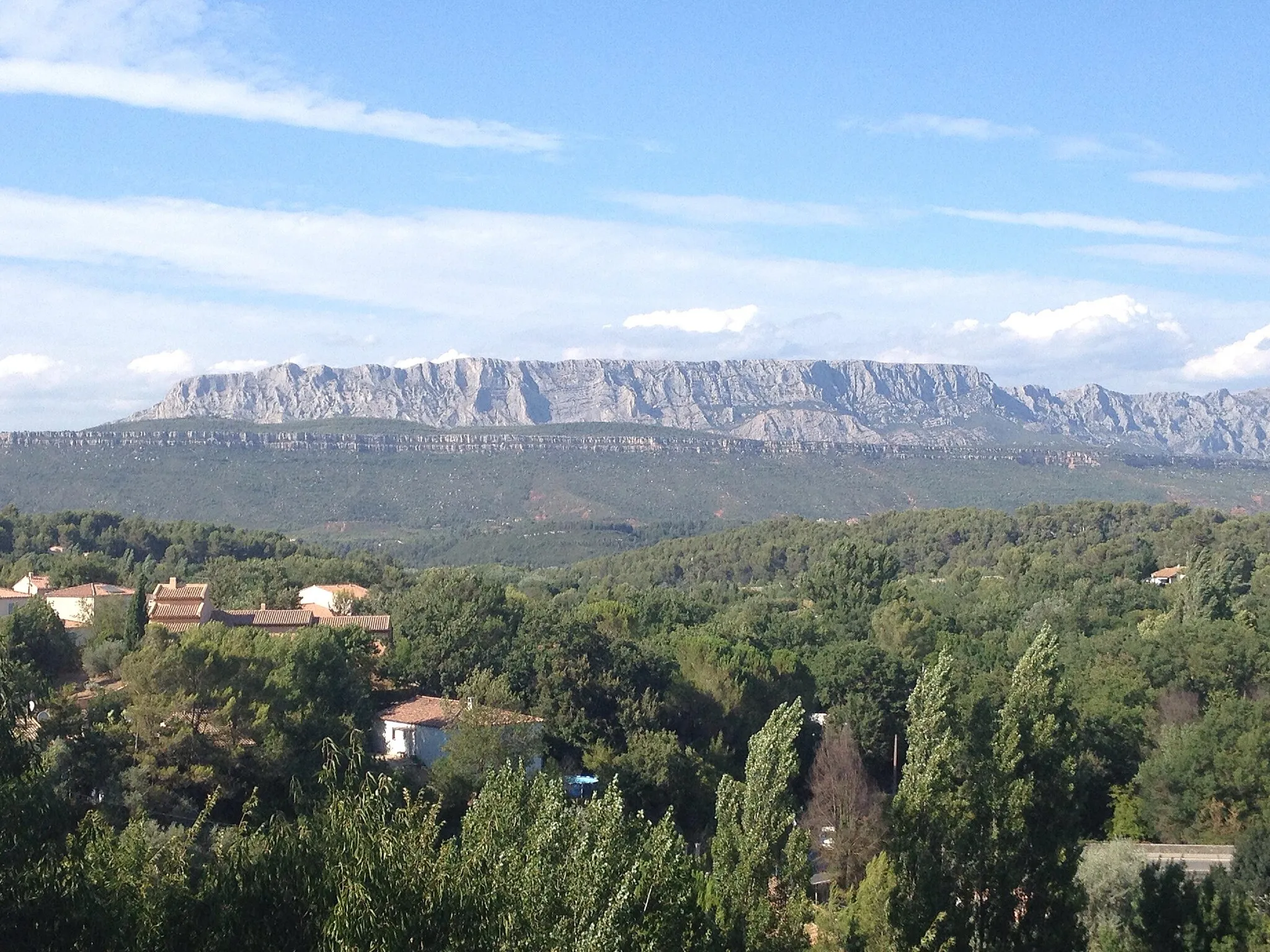
The Pergine Adventure Ride is a thrilling 75km route that takes you through the scenic landscapes near Le Tholonet. With a mix of gravel and road sections, this route offers a great balance of challenging climbs and fast descents. The highlight of the route is Point de Vue de Pergine, where you can enjoy breathtaking views of the surrounding hills and valleys. The difficulty level is moderate to high, suitable for experienced amateur cyclists. The epicness rating is 4, as the route provides a variety of challenging terrain and beautiful scenery.
gravel
75 km
1286 m
Tough
Route profile
Highlights on the route
0 km
0 km
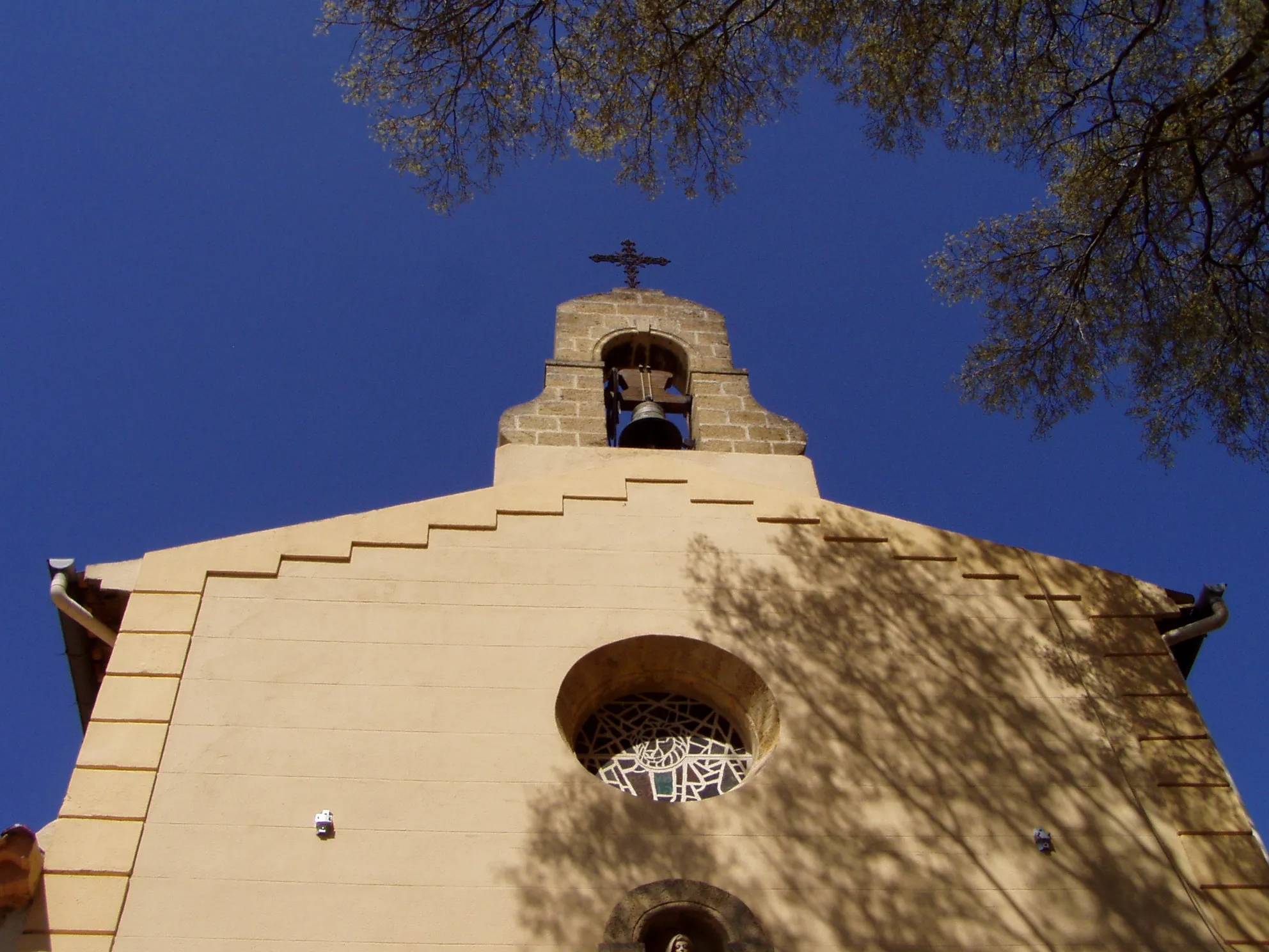
Start: Le Tholonet Village centerLe Tholonet: Challenging climbs and scenic routes in the Provence-Alpes-Côte d’Azur region of France.
Le Tholonet is a town located in the region of Provence-Alpes-Côte d’Azur, France. From a cyclist's perspective, Le Tholonet offers a mix of challenging climbs and scenic routes that are suitable for road cycling. The region is known for its stunning landscapes, with the iconic Montagne Sainte-Victoire being a popular destination for cyclists. The area is also home to several vineyards, providing opportunities for wine-tasting along your cycling routes. With its combination of natural beauty, cultural heritage, and gastronomic delights, Le Tholonet offers a memorable cycling experience for enthusiasts.15 km
15 km
Point de Vue de PergineViewpointPoint de Vue de Pergine offers panoramic views of the Provencal countryside, with vineyards, olive groves, and picturesque villages.
17 km
17 km
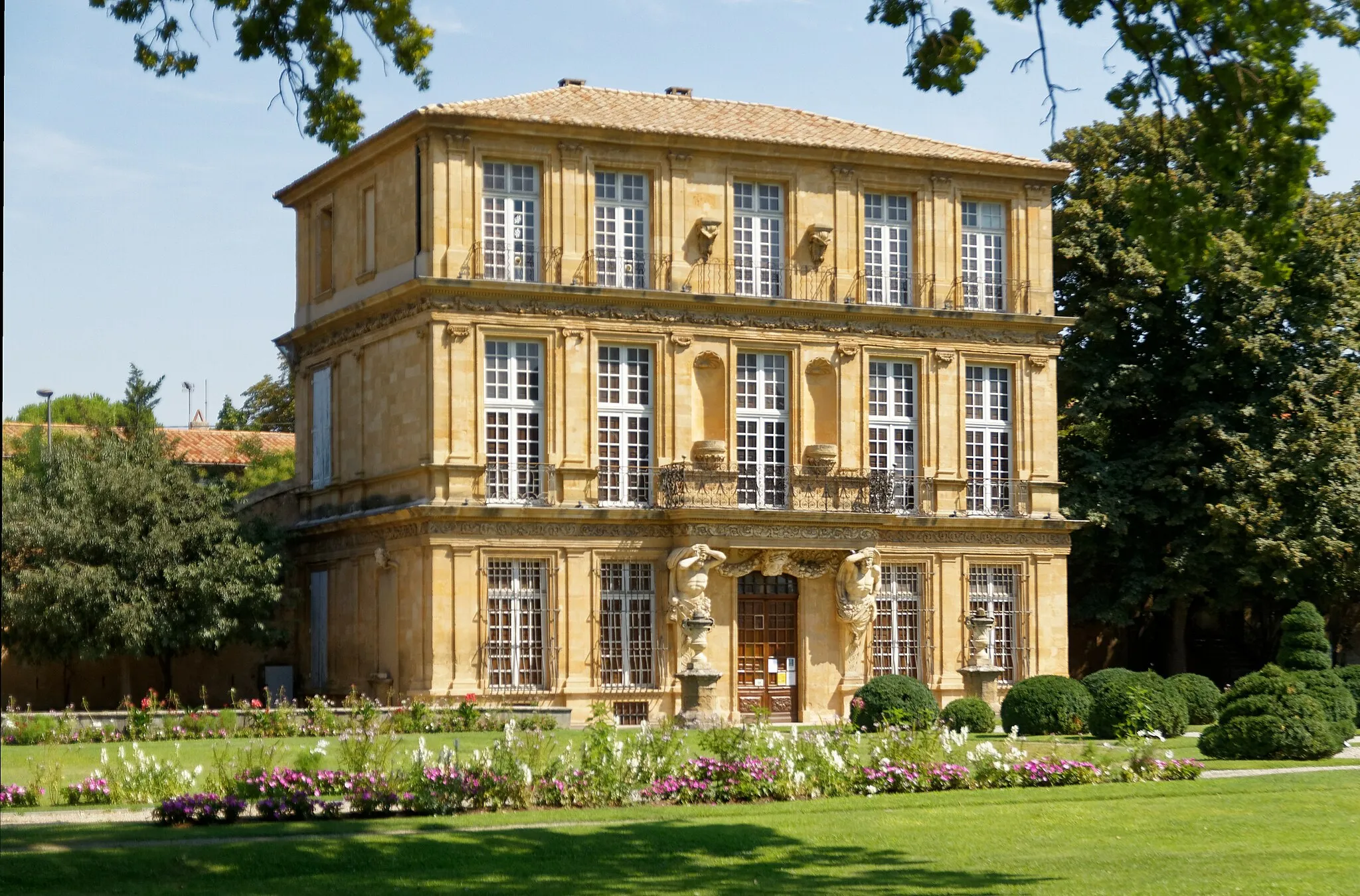
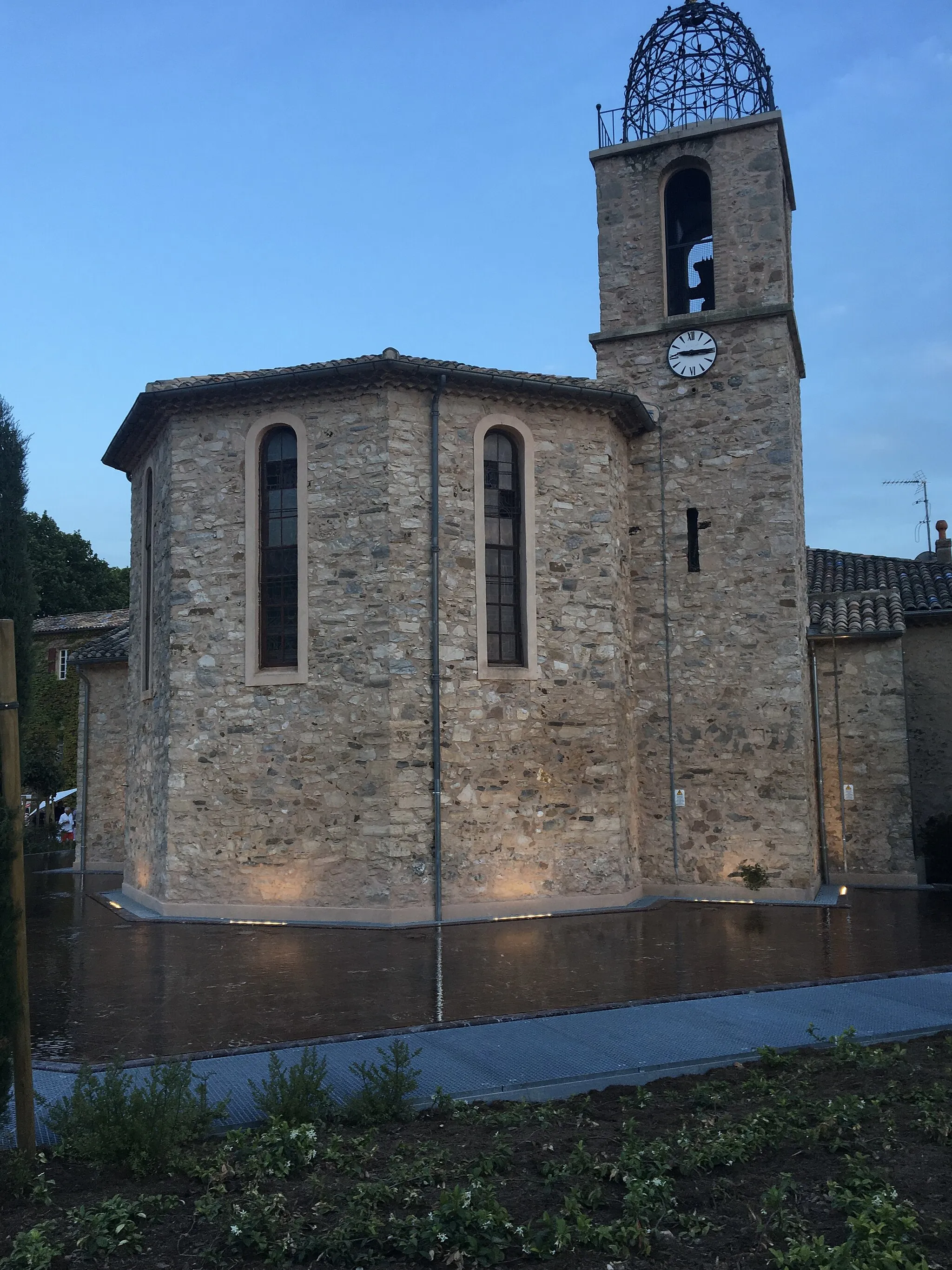
Saint-SavourninVillageSaint-Savournin is a charming Provençal village with a rich cultural heritage and historic buildings.
35 km
35 km
13th ArrondissementSub-urbThe 13th Arrondissement is known for its colorful streets, vibrant markets, and lively atmosphere.
48 km
48 km
La Petite Etoile561 mPeakLa Petite Etoile is a quaint cafe in a picturesque village, offering delicious local cuisine.
53 km
53 km
Septèmes-les-VallonsTownSeptèmes-les-Vallons is a popular cycling route with beautiful countryside scenery and rolling hills.
75 km
75 km
Finish: Le Tholonet Village centerLe Tholonet: Challenging climbs and scenic routes in the Provence-Alpes-Côte d’Azur region of France.
Cycling routes nearby: