Gravel Route to Les Vigneaux via Vallouise
A gravel cycling route starting from Villar-Saint-Pancrace
Scenic gravel route towards Les Vigneaux with a visit to picturesque Vallouise
Map
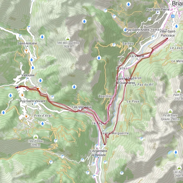
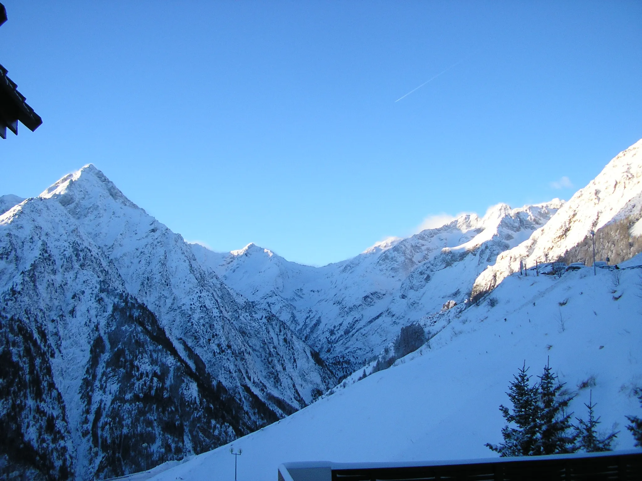
This gravel route takes you through the beautiful countryside towards Les Vigneaux, with a stop at the charming village of Vallouise. Along the way, you'll be enchanted by the stunning mountain views and peaceful surroundings. The route is moderate in difficulty, suitable for well-trained amateurs. With a total ascent of 949 meters and a distance of 42 kilometers, it offers a challenging but rewarding ride.
gravel
42 km
949 m
Tough
Route profile
Highlights on the route
0 km
0 km
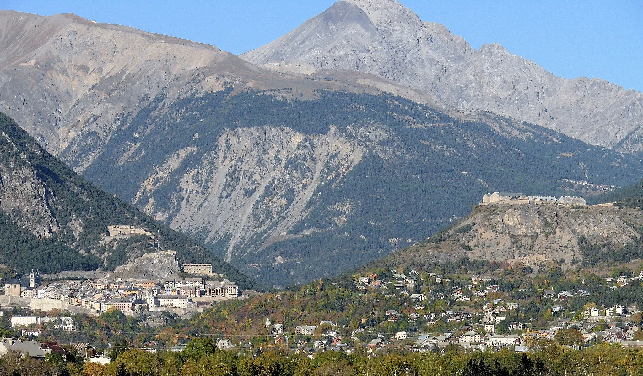
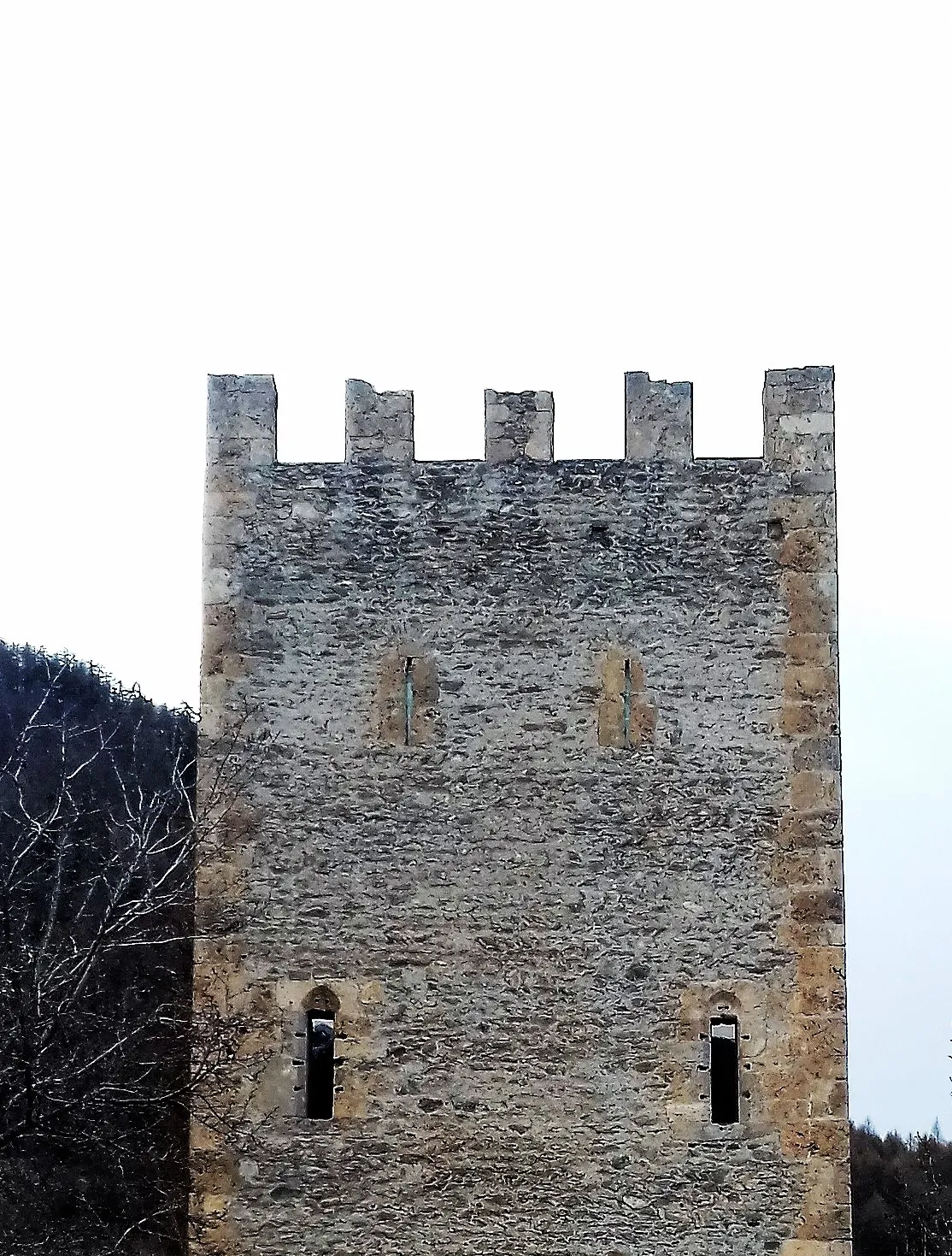
Start: Villar-Saint-Pancrace Village centerVillar-Saint-Pancrace: Home to the legendary Col du Galibier climb
Villar-Saint-Pancrace is a charming locality located in the Provence-Alpes-Côte d’Azur region of France. As a road and gravel cyclist, you'll have access to a variety of scenic routes in the area. The picturesque countryside, dotted with vineyards and olive groves, provides a delightful backdrop for your rides. Nearby, you'll find the renowned Col du Galibier, an iconic climb that has been featured in several professional cycling races. Villar-Saint-Pancrace ranks at a 5 out of 5 for its exceptional cycling-related attractions.12 km
12 km
Les VigneauxVillageStop by Les Vigneaux, a scenic village known for its traditional French charm.
18 km
18 km
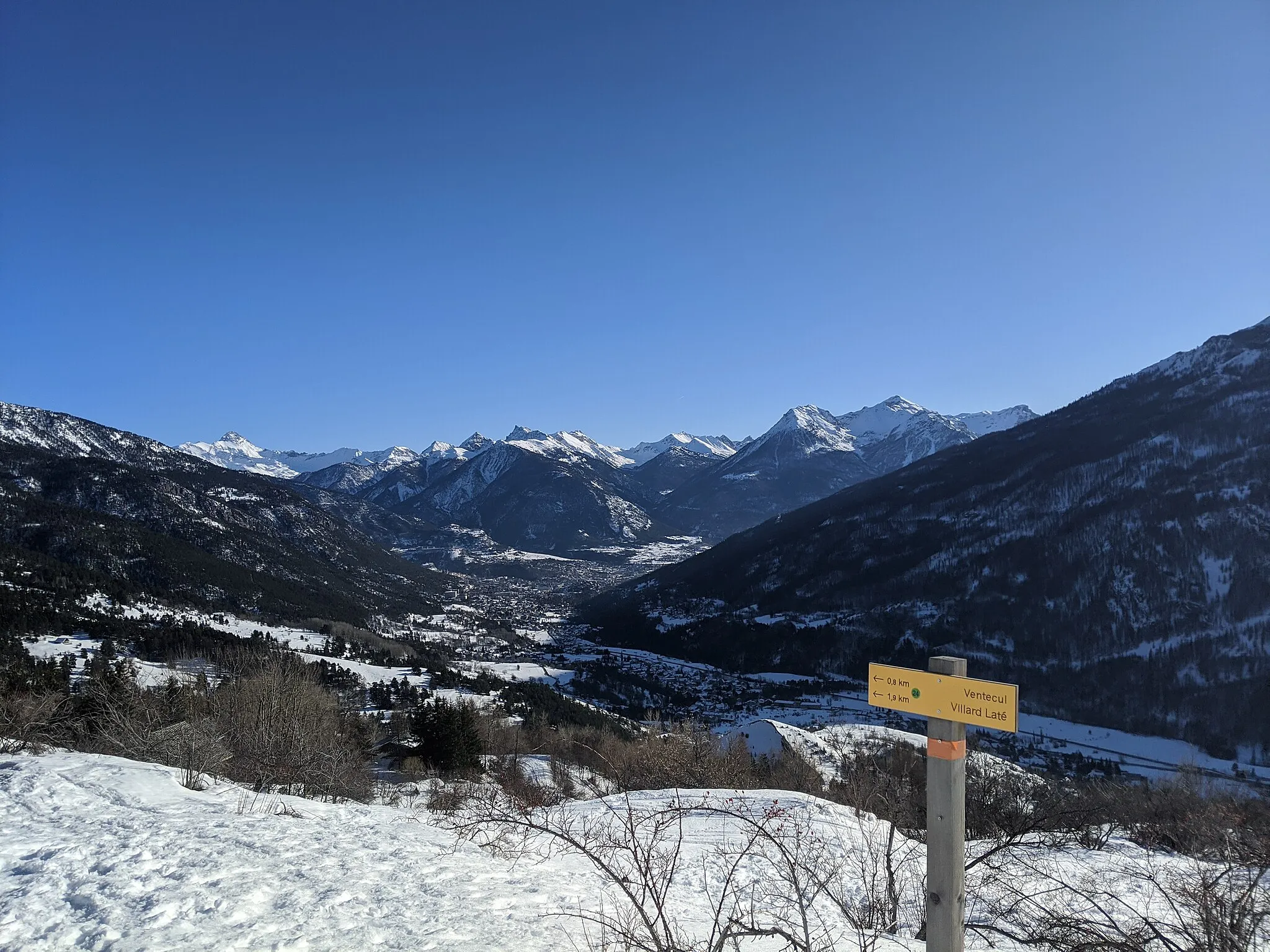
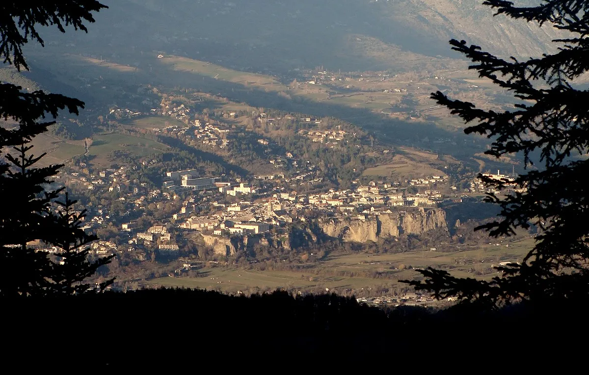
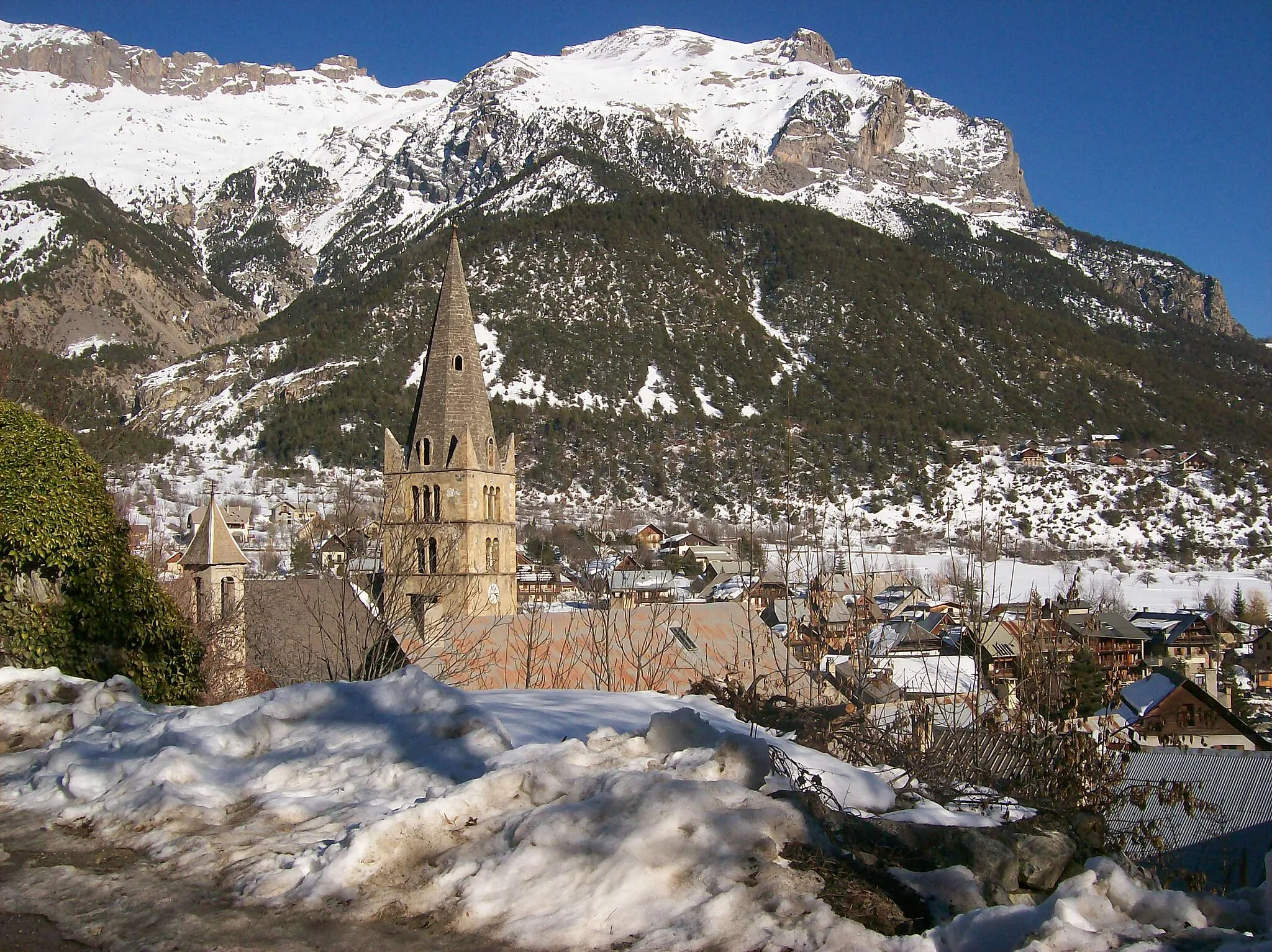
VallouiseVillagePause at Vallouise, a quaint village offering stunning views of the surrounding mountains.
35 km
35 km
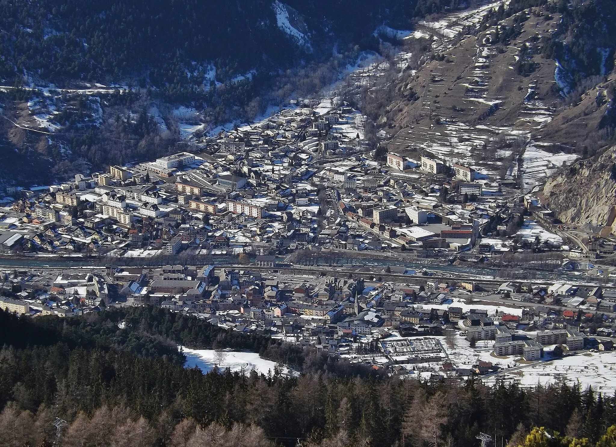
Saint-Martin-de-QueyrièresVillageExplore Saint-Martin-de-Queyrières, a small town with historical charm.
41 km
41 km
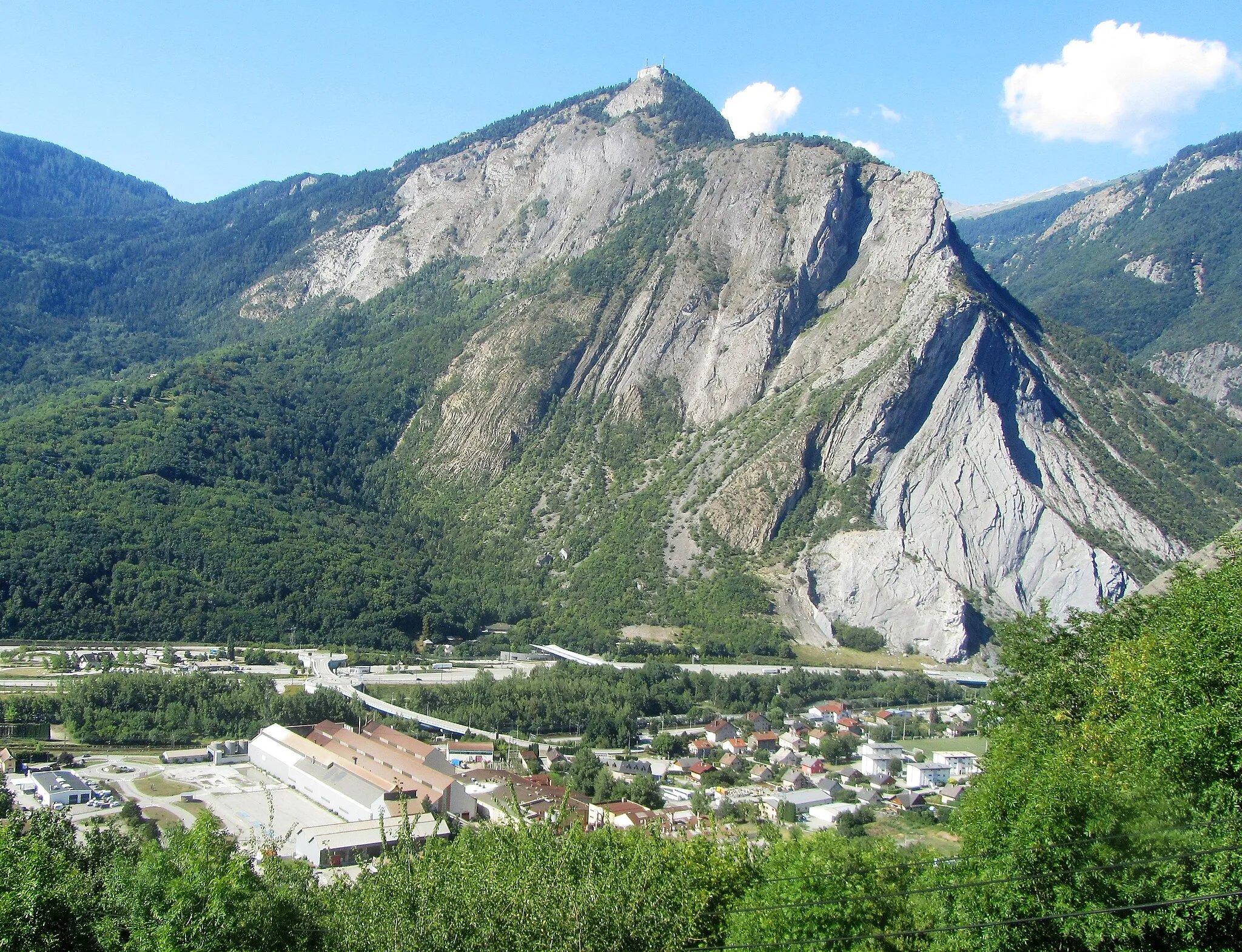
Saint-BlaiseHamletVisit Saint-Blaise and enjoy its rustic charm and beautiful landscapes.
42 km
42 km
Finish: Villar-Saint-Pancrace Village centerVillar-Saint-Pancrace: Home to the legendary Col du Galibier climb
Cycling routes from Villar-Saint-Pancrace:
Scenic Road Tour through Arvieux to Eygliers Epic Road Adventure to Fort des Salettes Gravel Excursion across Villar-Saint-Pancrace Gravel Ride to Les Alberts via La Vachette Scenic Road Ride near Villar-Saint-Pancrace Gravel Adventure around Villar-Saint-Pancrace Challenging Road Loop to Col d'Izoard Ultimate Gravel Challenge from Villar-Saint-Pancrace Gravel Route to Les Vigneaux via Vallouise The Italian Connection
Cycling routes nearby: