The Mountain Challenge
A road cycling route starting from Bourg-en-Bresse
Take on the mountainous landscapes and conquer legendary climbs along this road cycling route near Bourg-en-Bresse.
Map

This challenging road cycling route near Bourg-en-Bresse is perfect for experienced cyclists who love climbing. With a total distance of 129 kilometers and an ascent of 2092 meters, it offers a demanding but rewarding experience. The route includes highlights such as Col de France, Simandre-sur-Suran, Bolozon, Nantua, Mont Cornet, Col de Belle Roche, Brénod, Corlier, Col de Montratier, Neuville-sur-Ain, and Montagnat. Prepare for unforgettable mountain scenery and epic cycling moments.
road
129 km
2092 m
Savage
Route profile
Highlights on the route
0 km
0 km
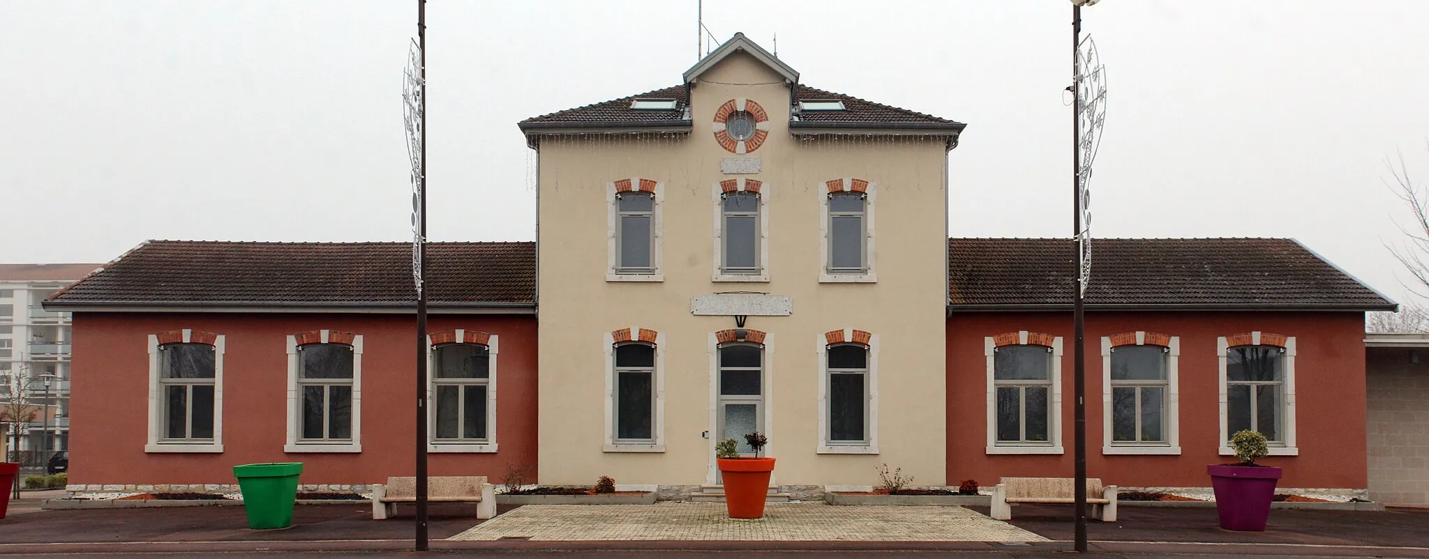
Start: Bourg-en-Bresse City centerBourg-en-Bresse: Diverse cycling options amidst stunning landscapes
Bourg-en-Bresse, situated in the Rhône-Alpes region of France, offers diverse cycling opportunities. The locality features scenic routes through beautiful landscapes and nearby mountains such as the Jura or the Alps. Cyclists can enjoy various climbs and challenging rides in this area. Overall, with its cycling-friendly environment, Bourg-en-Bresse receives a high ranking of 4.11 km
11 km
Col de France374 mMountain PassConquer the challenging Col de France, a legendary climb known for its steep gradients and breathtaking views at the top.
17 km
17 km
Simandre-sur-SuranVillagePass through the scenic village of Simandre-sur-Suran, nestled between rolling hills and surrounded by lush greenery.
31 km
31 km
BolozonVillageBolozon is a quaint village located at the foot of the Jura Mountains. Enjoy the peaceful atmosphere and beautiful countryside.
51 km
51 km
NantuaVillageClimb the famous Nantua Pass and be rewarded with stunning panoramic views of the surrounding mountains and lake.
54 km
54 km
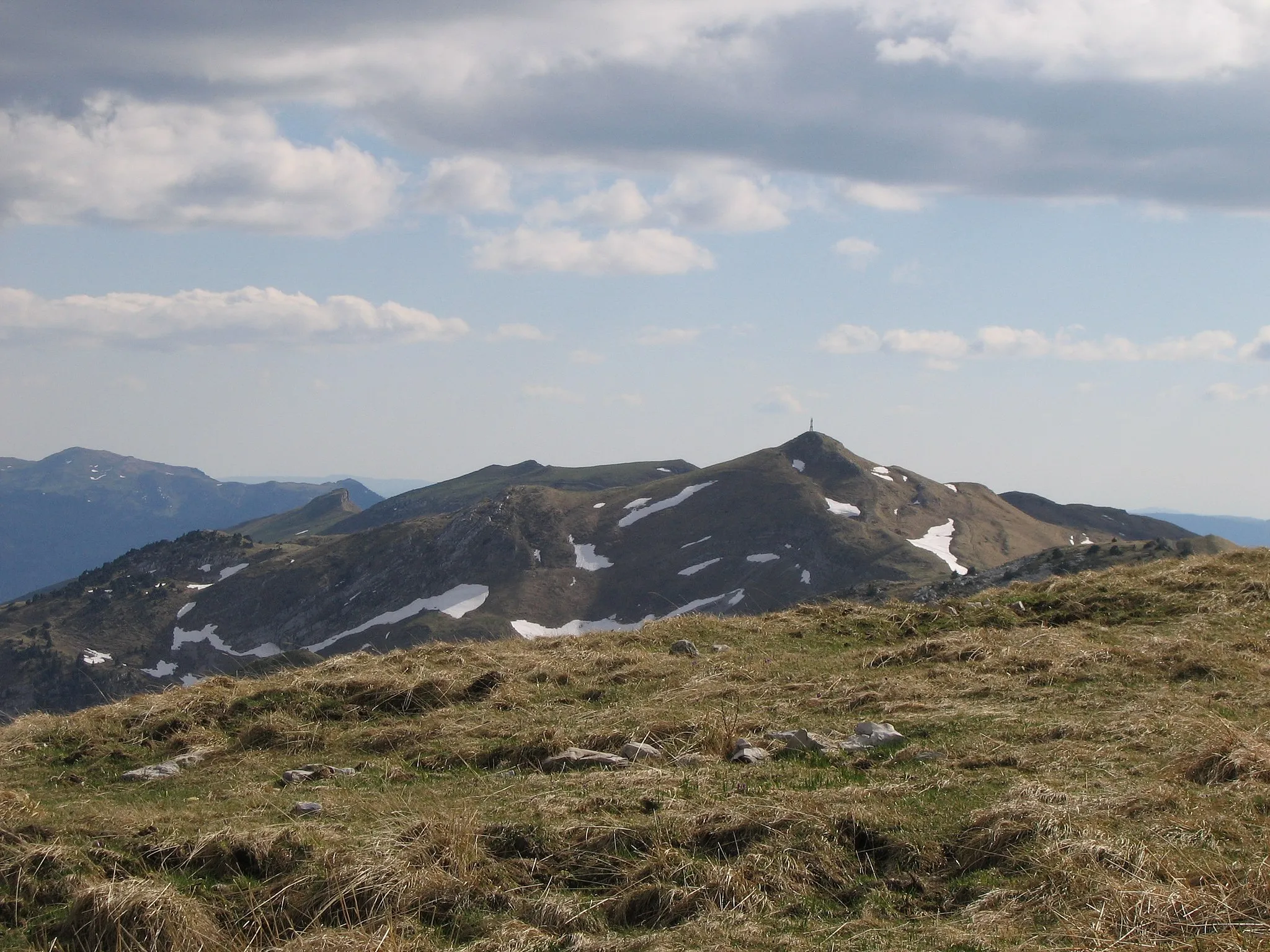
Mont Cornet837 mPeakReach the summit of Mont Cornet, a challenging climb that offers breathtaking views of the Alps on a clear day.
63 km
63 km
Col de Belle Roche1056 mMountain PassCycle through the scenic Col de Belle Roche, surrounded by lush forests and offering impressive views.
75 km
75 km
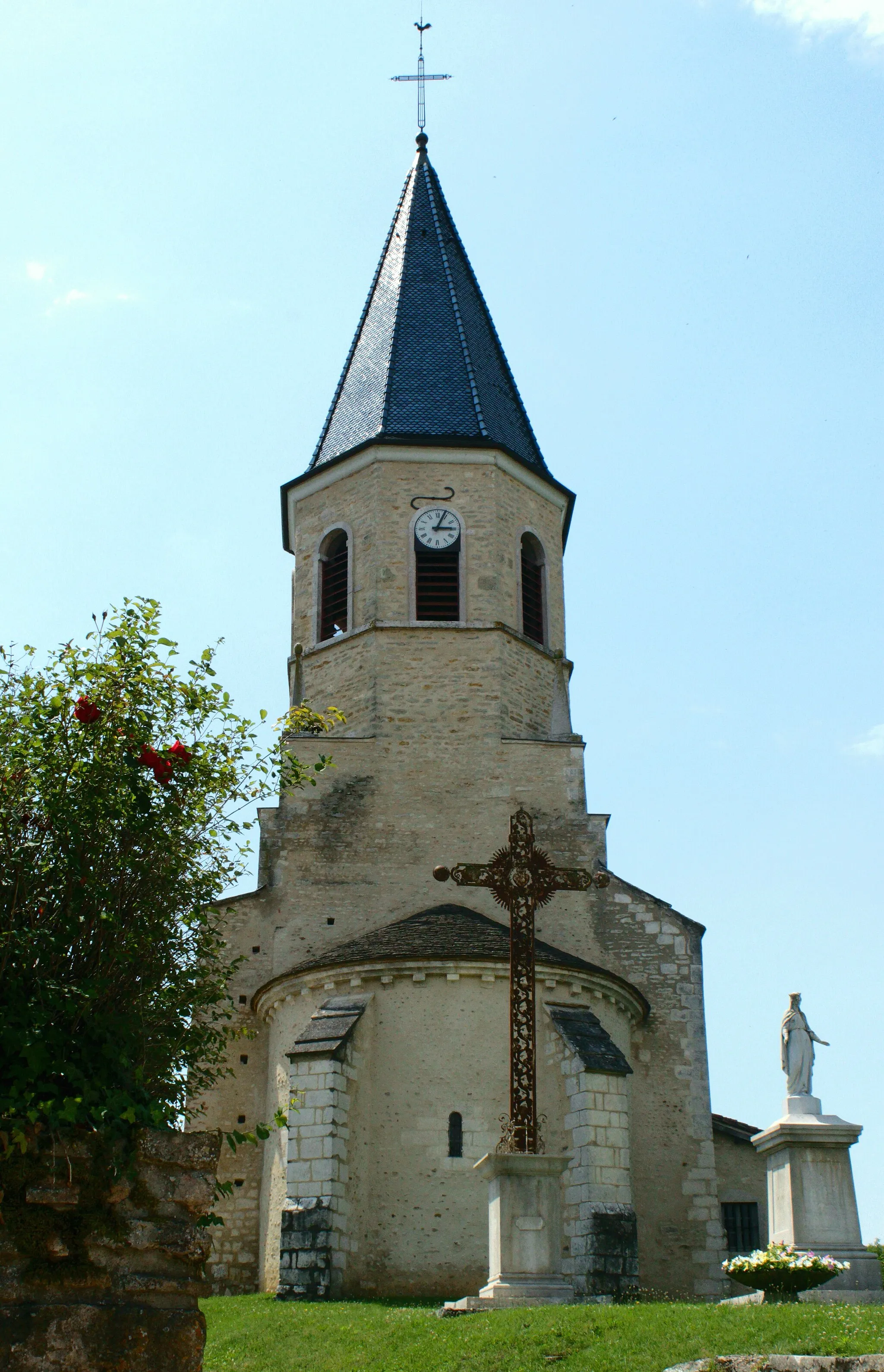
BrénodVillageBrénod is a charming village nestled in the heart of the mountains. Take a break and soak in the peaceful atmosphere.
89 km
89 km
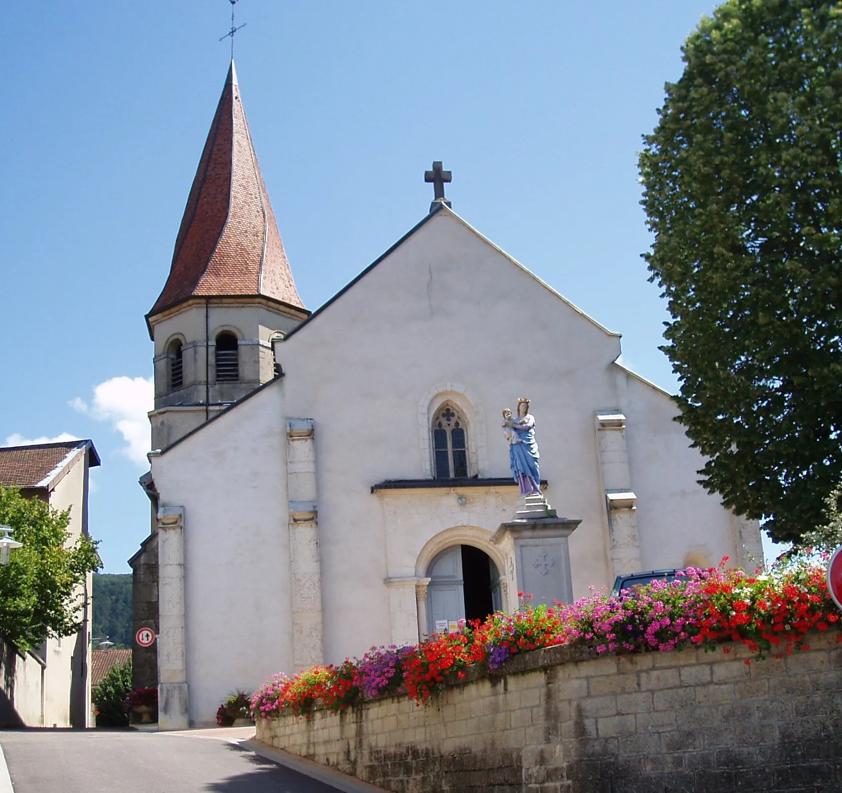
CorlierVillageCorlier is a hidden gem known for its picturesque landscapes and quaint architecture.
96 km
96 km
Col de Montratier500 mMountain PassConquer the challenging Col de Montratier, a legendary climb with narrow roads and stunning views at the top.
107 km
107 km
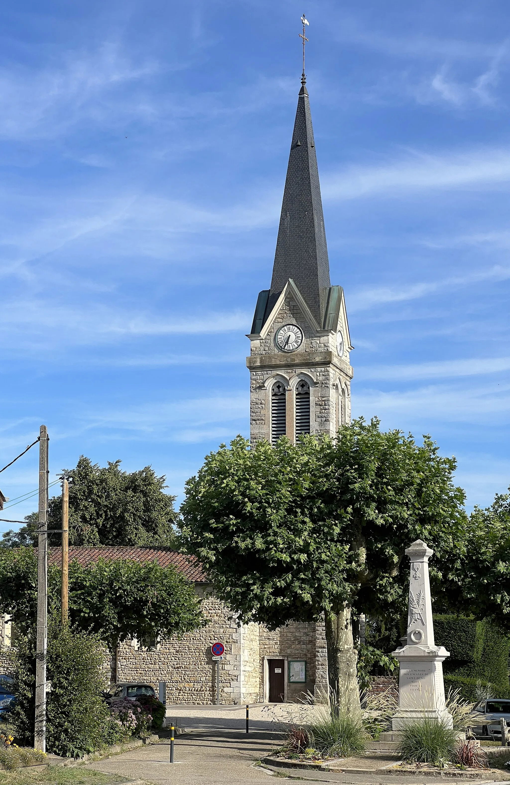
Neuville-sur-AinVillageNeuville-sur-Ain is a charming village located along the Ain River. Enjoy the scenic surroundings and peaceful atmosphere.
121 km
121 km
MontagnatVillageMontagnat offers beautiful viewpoints overlooking the surrounding countryside. Take a moment to savor the stunning scenery.
129 km
129 km
Finish: Bourg-en-Bresse City centerBourg-en-Bresse: Diverse cycling options amidst stunning landscapes
Cycling routes from Bourg-en-Bresse:
The Gravel Adventure Bourg-en-Bresse to Poncin Road Route Bourg-en-Bresse to Buellas Road Route The Condeissiat Loop The Royal Brou Route The Château Circuit The Mountain Challenge Bourg-en-Bresse to Monastère Royal de Brou Road Route Bourg-en-Bresse to Bény Gravel Route Bourg-en-Bresse to La Neuve Road Route Bourg-en-Bresse to Saint-Denis-lès-Bourg and Polliat Bourg-en-Bresse to Pont-de-Jugnon and Monastère Royal de Brou Bourg-en-Bresse to Saint-Martin-le-Châtel and Mantenay-Montlin Bourg-en-Bresse to Montracol and Saint-Didier-d'Aussiat Bourg-en-Bresse to Tossiat and Château de Saix
Cycling routes nearby: