The Gravel Challenge
A gravel cycling route starting from Ceyzeriat
Discover the gravel roads of Rhône-Alpes
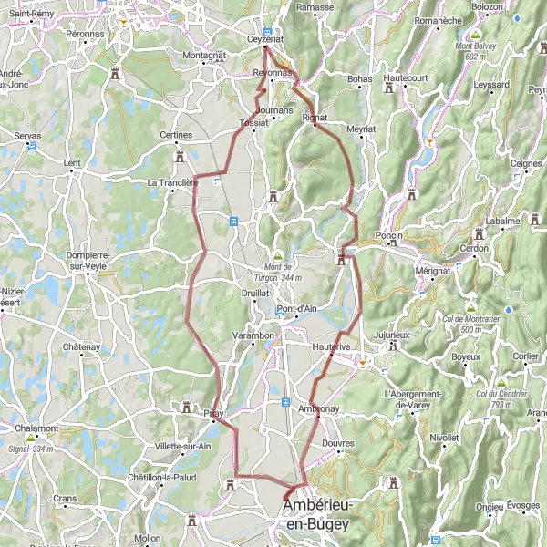
Map
Experience the thrill of cycling on gravel roads in Rhône-Alpes. This challenging route takes you through beautiful landscapes and offers a unique adventure for gravel enthusiasts. With a total ascent of 557m and a distance of 63km, this route is perfect for well-trained amateur cyclists who are looking for an exciting challenge.
gravel
63 km
557 m
Tough
Route profile
Highlights on the route
0 km
0 km
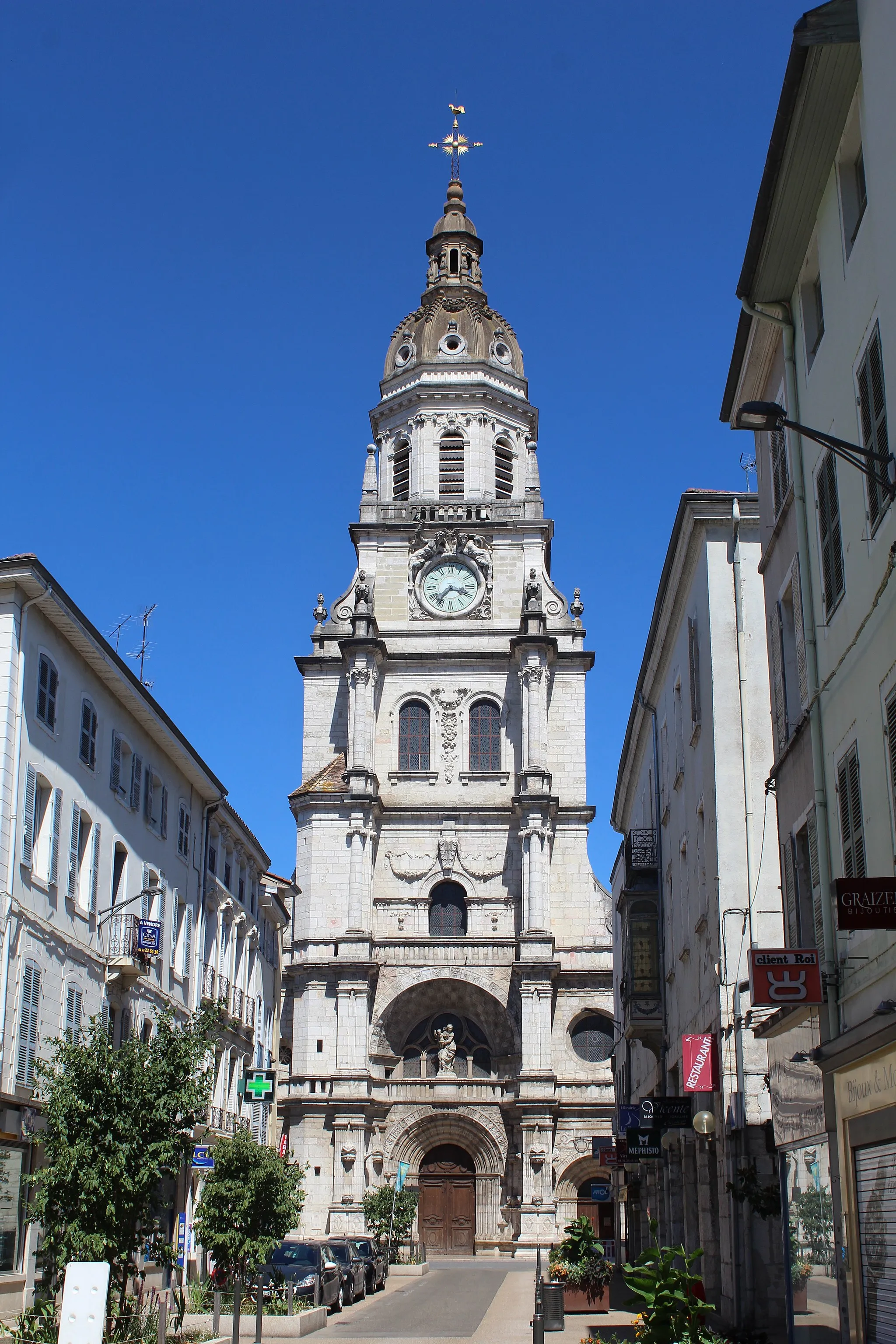
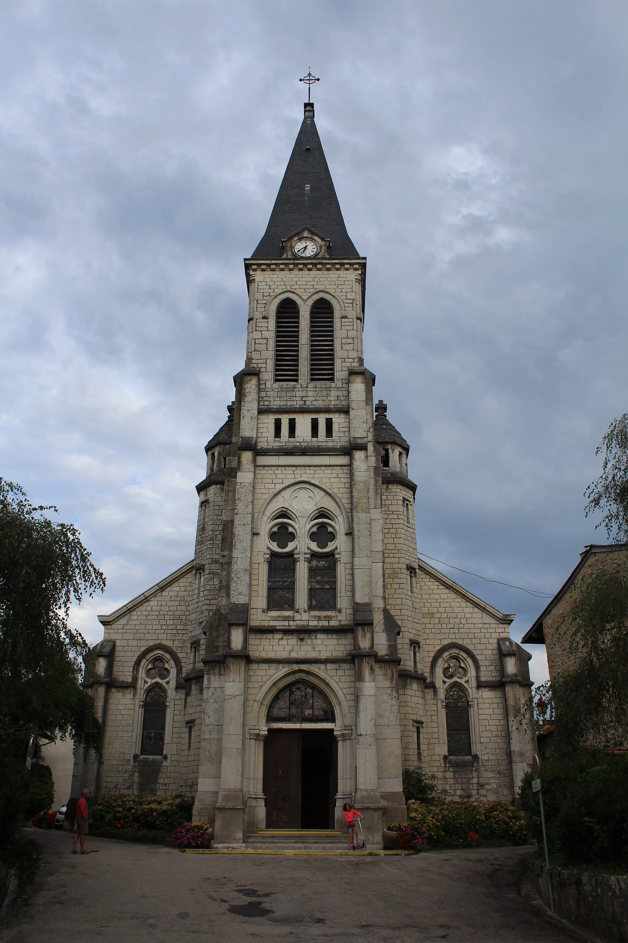
Start: Ceyzériat Village centerCeyzériat: Nature's cyclist retreat in Rhône-Alpes
Ceyzériat, located in the Rhône-Alpes region of France, offers cyclists a mixture of flat and hilly terrain to explore. The town is surrounded by countryside roads that provide scenic routes for road and gravel cycling. Notable cycling spots nearby include the Col de la Biche and the Grand Colombier, both featuring challenging climbs and rewarding panoramic views. Ceyzériat itself may not be a bustling tourist destination, but it provides a pleasant starting point for cyclists to discover the natural beauty and cycling opportunities in the Rhône-Alpes region.4 km
4 km
Col de la Chaise420 mMountain PassCol de la Chaise is a stunning mountain pass that offers breathtaking views of the surrounding area.
5 km
5 km
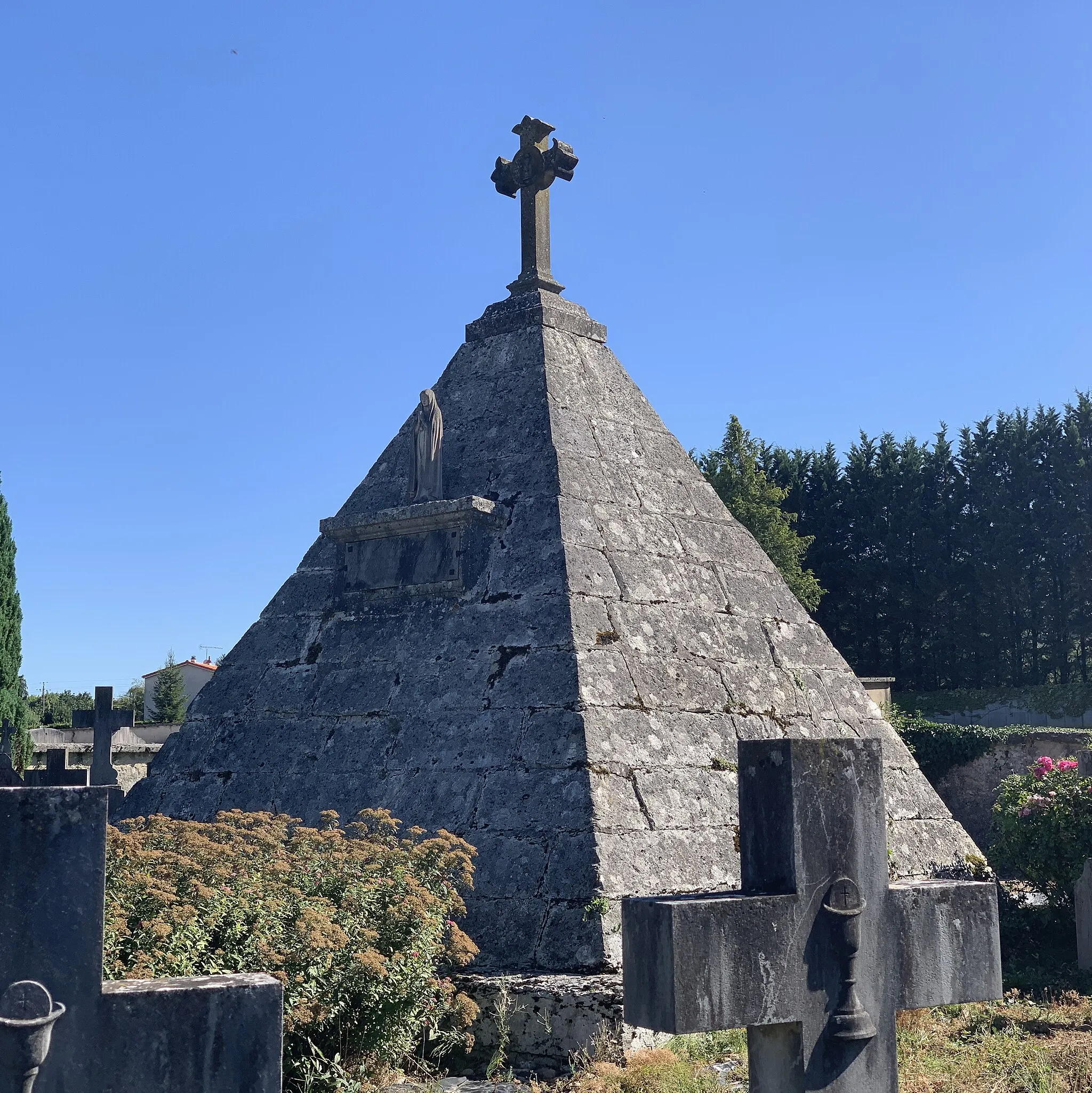
RignatVillageRignat is a charming village with a rich history and beautiful architecture.
15 km
15 km
Neuville-sur-AinVillageNeuville-sur-Ain is a picturesque town located on the banks of the Ain River.
26 km
26 km
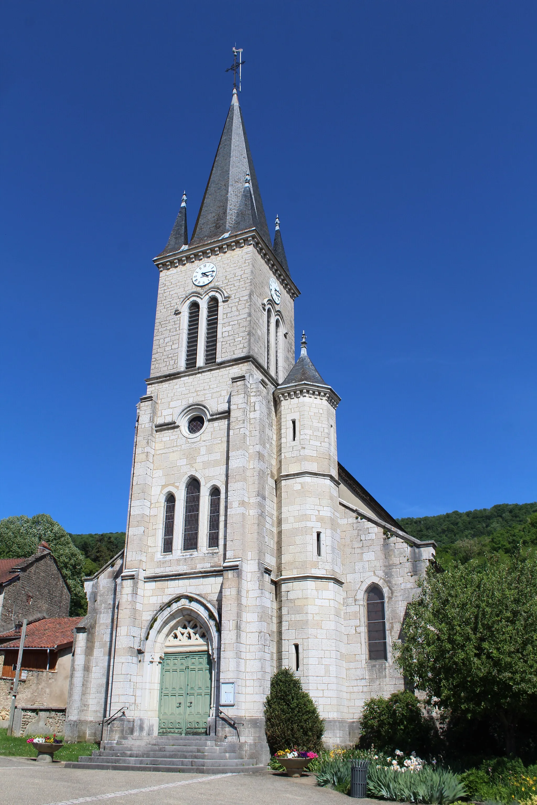
AmbronayVillageAmbronay is home to a magnificent medieval abbey that is worth a visit.
39 km
39 km
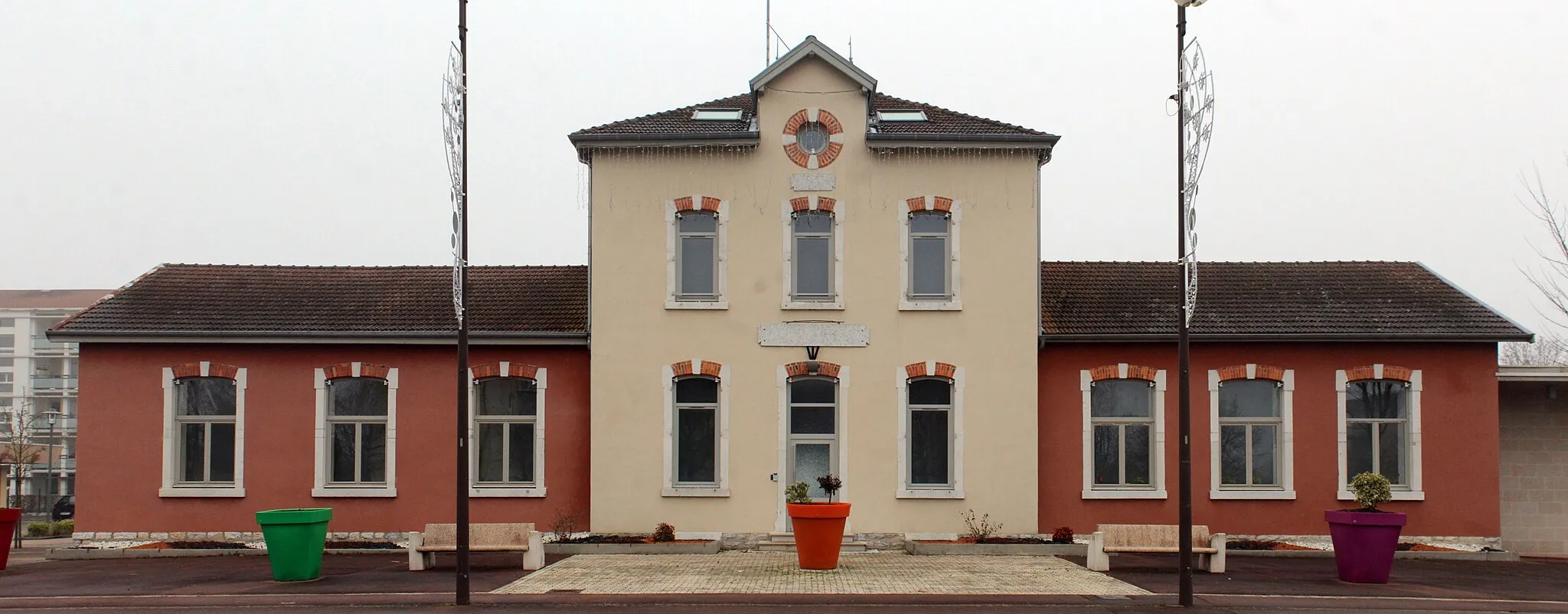
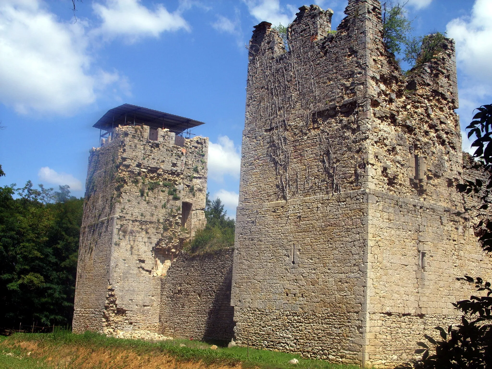
PriayVillagePriay is a small village known for its traditional French architecture and peaceful atmosphere.
58 km
58 km
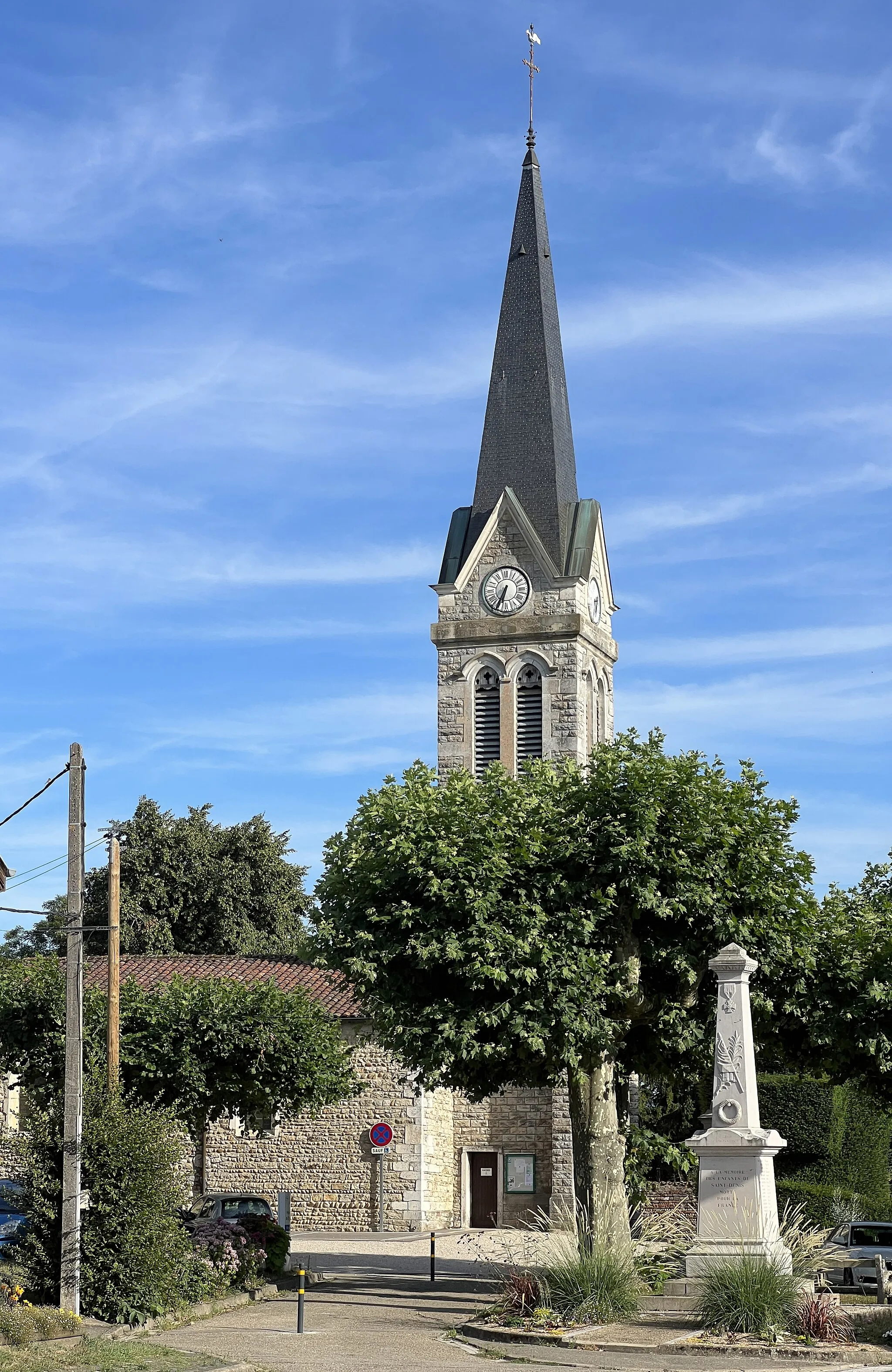
TossiatVillageTossiat is a charming village with narrow streets and traditional houses.
63 km
63 km
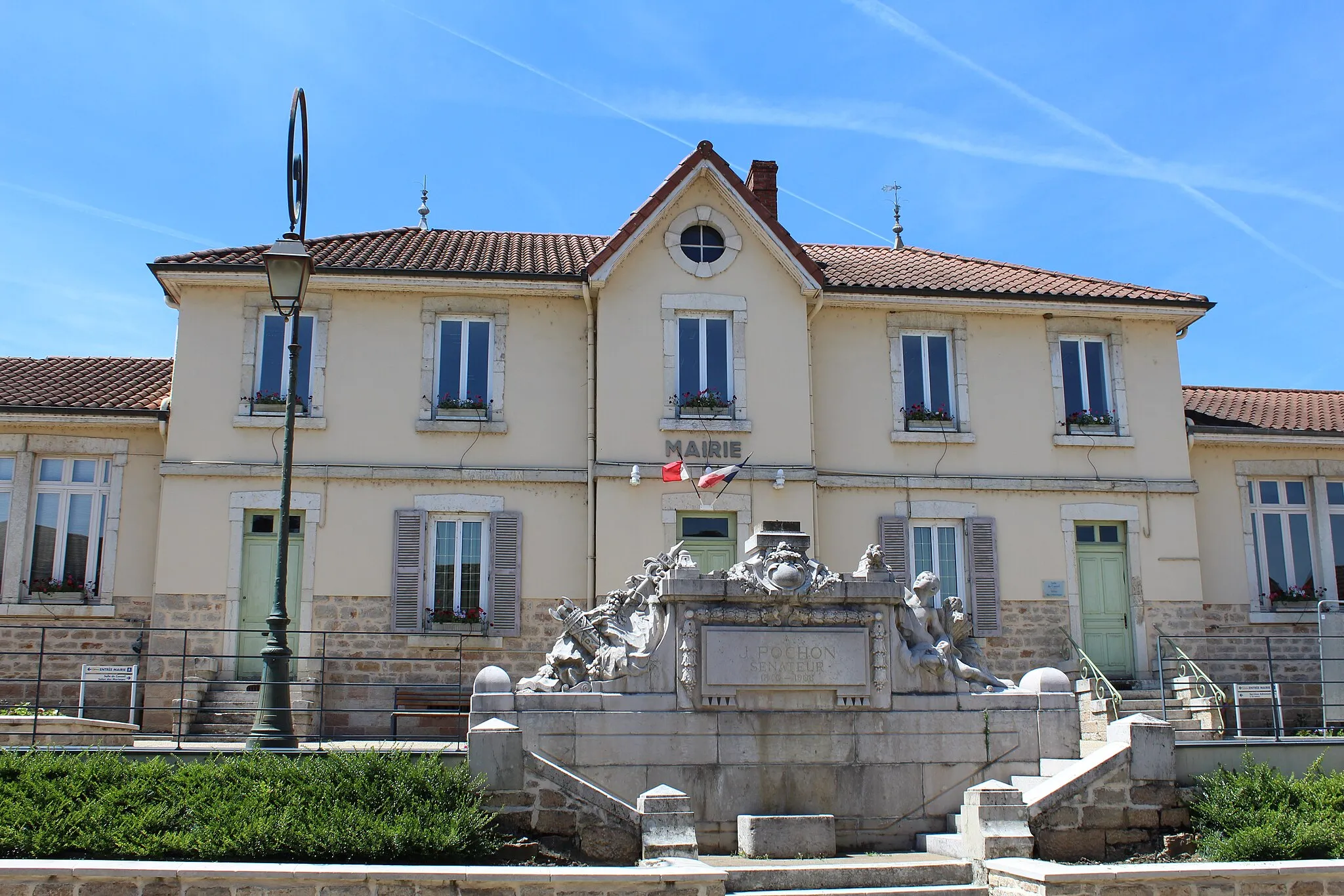
CeyzériatVillageCeyzériat is the starting and ending point of the route. This small town is surrounded by beautiful countryside.
63 km
63 km
Finish: Ceyzériat Village centerCeyzériat: Nature's cyclist retreat in Rhône-Alpes
Cycling routes from Ceyzeriat:
The Countryside Route Countryside Exploration: Road Cycling in Rhône-Alpes The Epic Gravel Adventure Exploring Natural Beauty The Gravel Challenge The Scenic Road Gravel Adventure through Rural Rhône-Alpes Col de la Rousse Circuit: A Road Cycling Extravaganza From Valleys to Peaks The Hidden Gems Gravel Adventure in Ceyzériat and Surrounding Areas
Cycling routes nearby: