Col de la Rousse Circuit: A Road Cycling Extravaganza
A road cycling route starting from Ceyzeriat
Conquer the challenging Col de la Rousse and experience the splendor of Simandre-sur-Suran and Bolozon!
Map
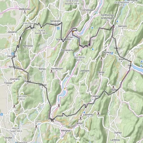
Embark on an epic 81-kilometer road cycling journey that will test your endurance and take you to some of the most stunning spots in Rhône-Alpes. With 1554 meters of ascent, including the challenging Col de la Rousse, this route is suitable for experienced riders seeking a thrilling adventure. Highlights along the way include the picturesque town of Simandre-sur-Suran, perched on the banks of the Suran River, and the quaint village of Bolozon, known for its charming streets and medieval castle ruins. With breathtaking climbs and breathtaking views, this circuit promises a memorable cycling experience.
road
81 km
1554 m
Tough
Route profile
Highlights on the route
0 km
0 km
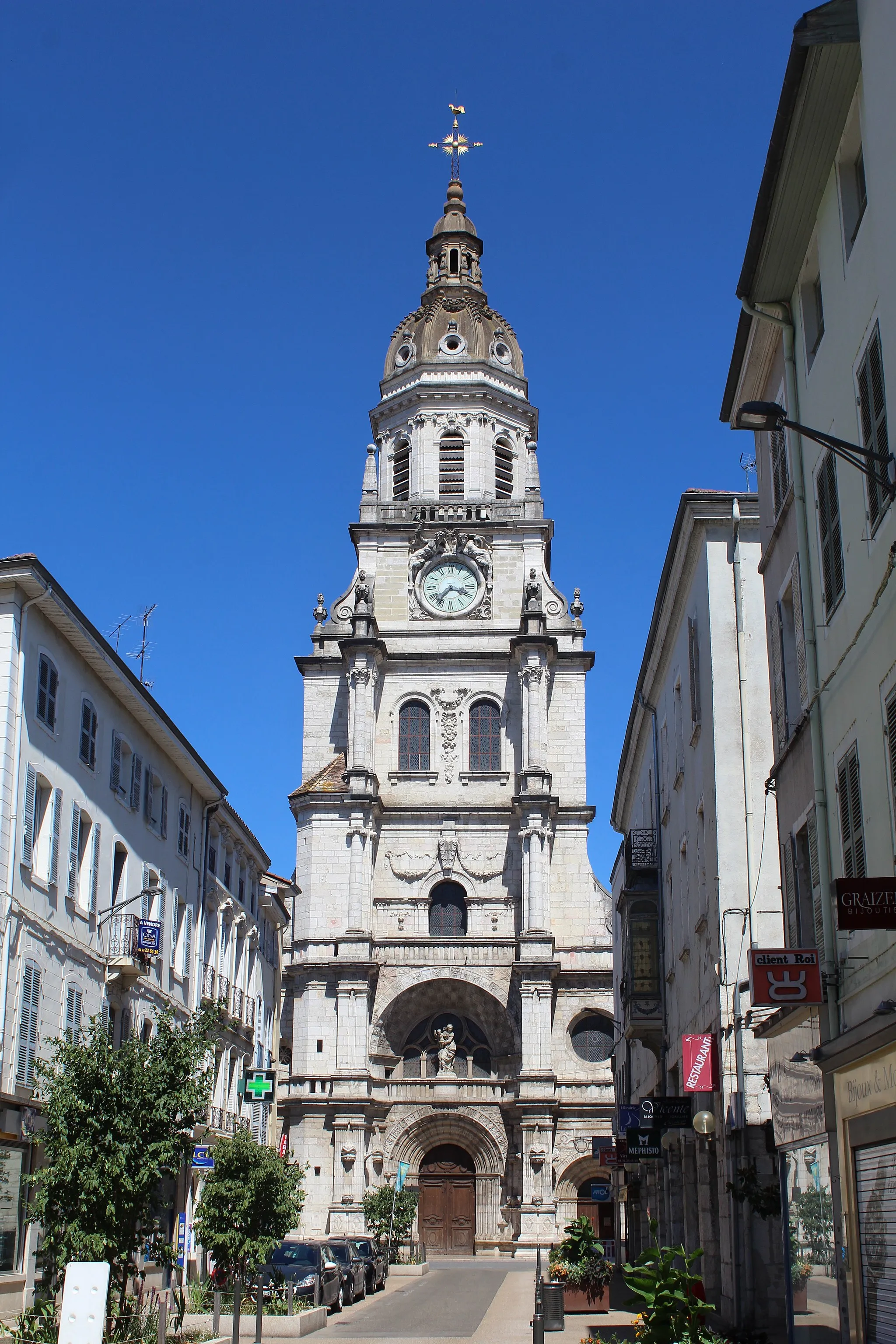
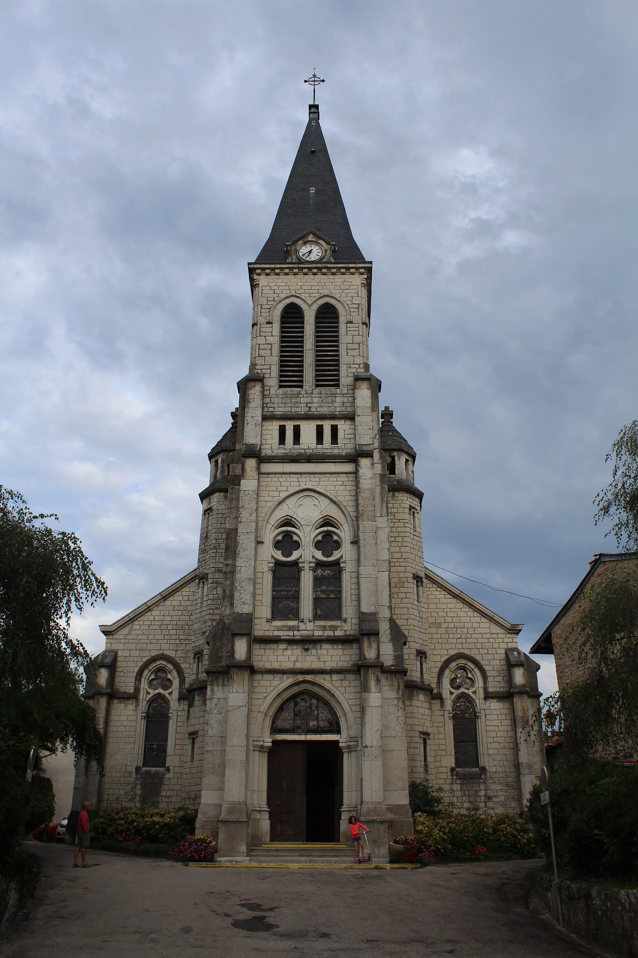
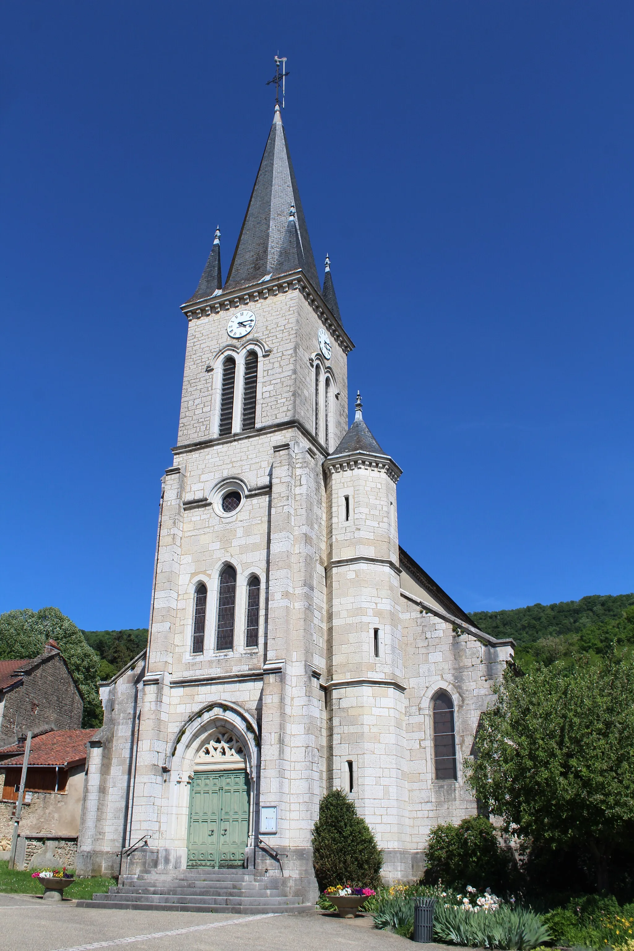
Start: Ceyzériat Village centerCeyzériat: Nature's cyclist retreat in Rhône-Alpes
Ceyzériat, located in the Rhône-Alpes region of France, offers cyclists a mixture of flat and hilly terrain to explore. The town is surrounded by countryside roads that provide scenic routes for road and gravel cycling. Notable cycling spots nearby include the Col de la Biche and the Grand Colombier, both featuring challenging climbs and rewarding panoramic views. Ceyzériat itself may not be a bustling tourist destination, but it provides a pleasant starting point for cyclists to discover the natural beauty and cycling opportunities in the Rhône-Alpes region.11 km
11 km
Col de la Rousse380 mMountain PassPrepare to conquer the Col de la Rousse, a demanding climb that rewards with remarkable views from the summit.
14 km
14 km
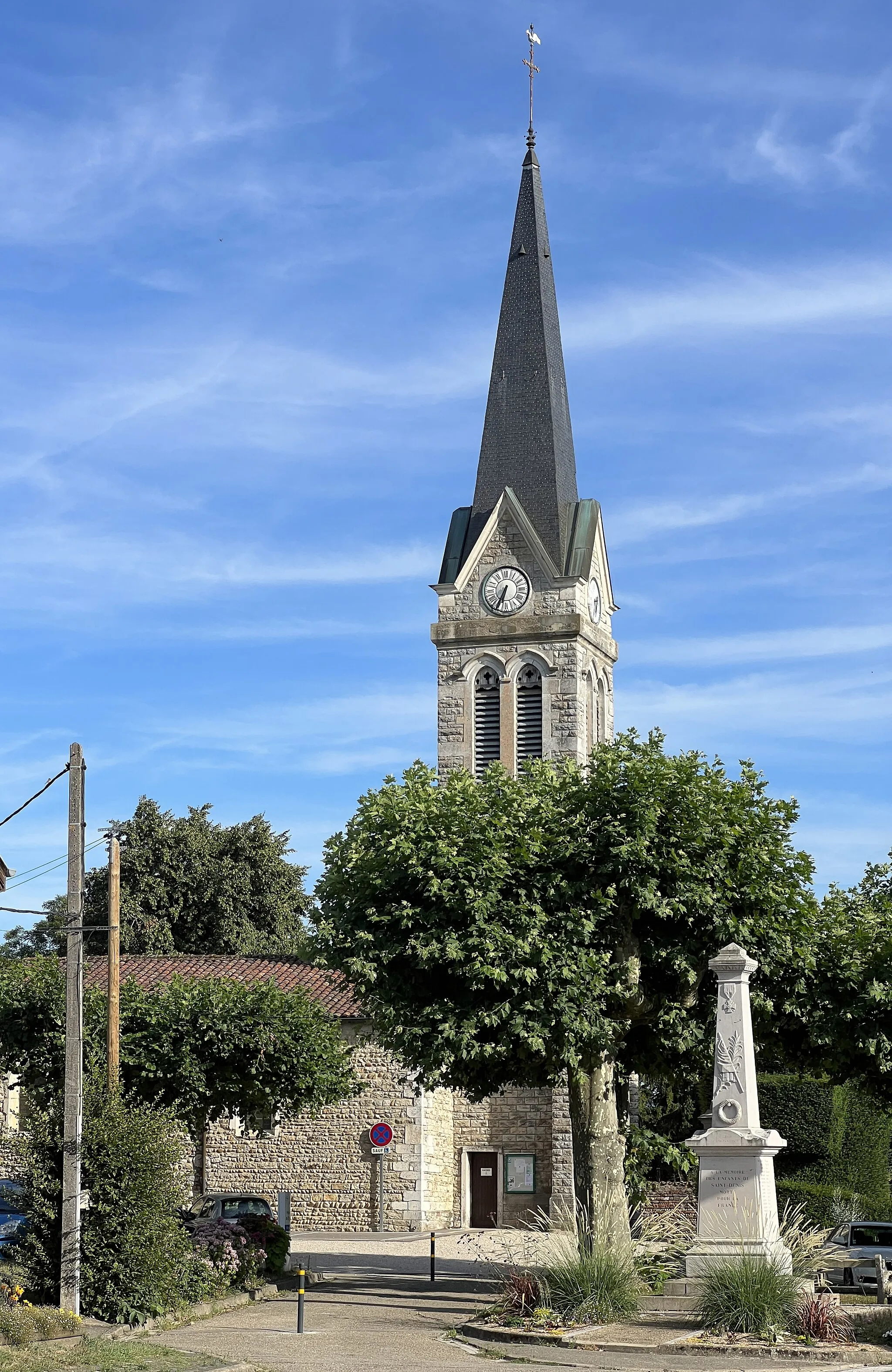
Simandre-sur-SuranVillageVisit Simandre-sur-Suran, a charming town renowned for its riverside location and medieval architecture.
28 km
28 km
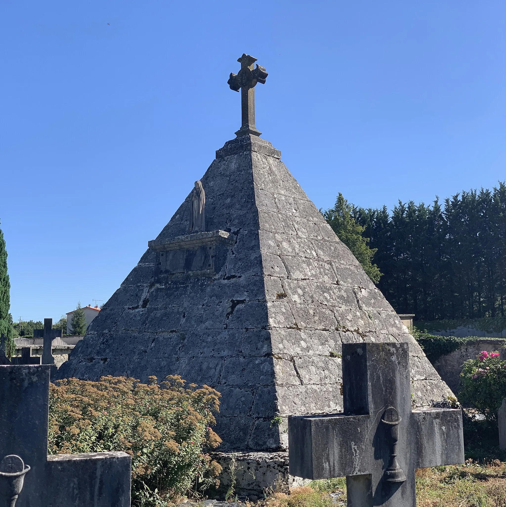
BolozonVillageDiscover Bolozon and wander through its medieval streets, exploring ancient castle ruins along the way.
42 km
42 km
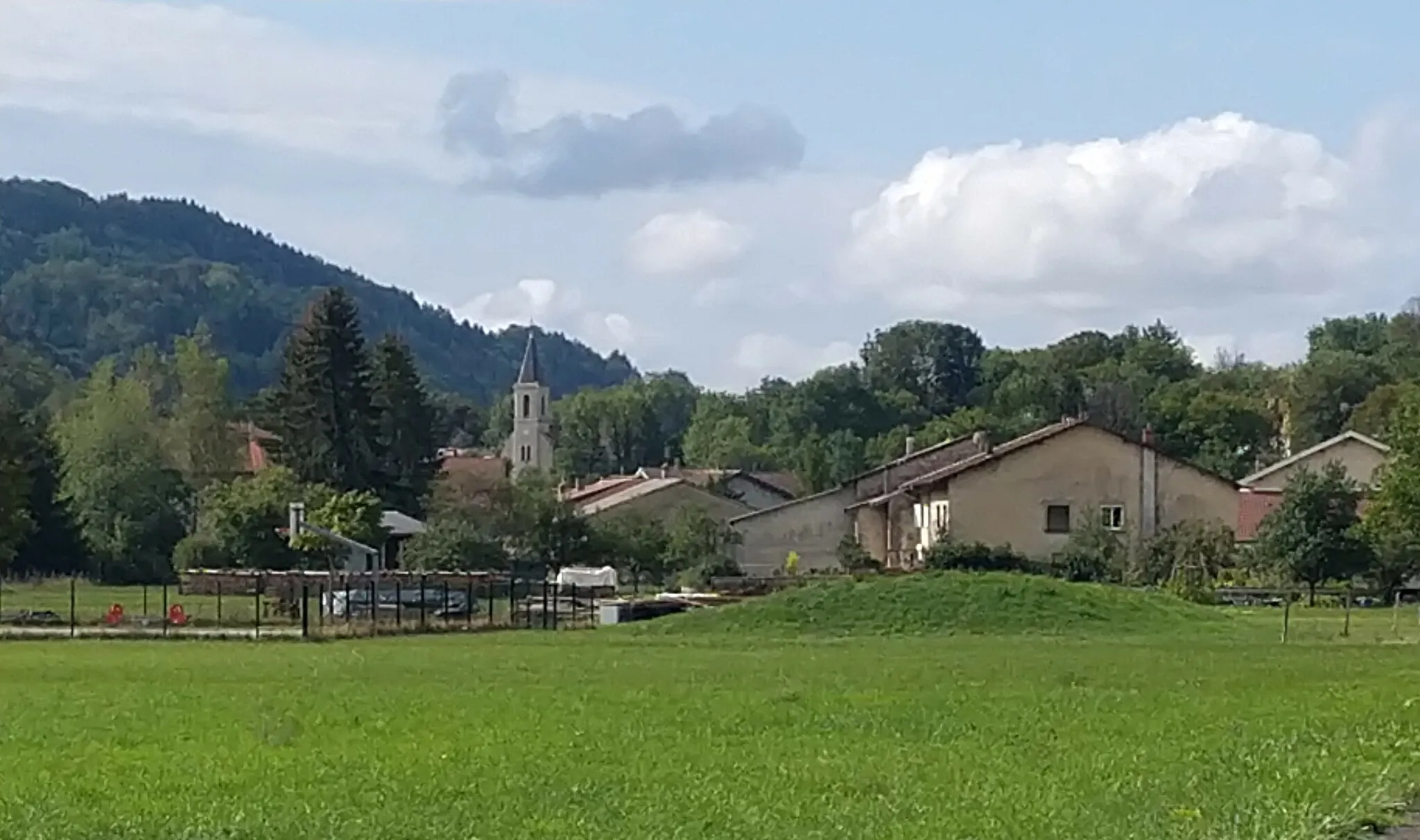
GéovreissiatVillageGéovreissiat offers a tranquil escape with its green fields and peaceful atmosphere, perfect for a mid-ride rest.
53 km
53 km
Col de Ceignes646 mMountain PassBe rewarded with stunning views as you conquer the Col de Ceignes, a challenging climb that tests your endurance.
66 km
66 km
PoncinVillagePoncin charms with its quaint streets and beautiful surroundings, providing a peaceful moment during your ride.
77 km
77 km
Col de la Chaise420 mMountain PassChallenge yourself to reach the summit of the Col de la Chaise and enjoy the breathtaking panoramic views.
80 km
80 km
RevonnasVillageRevonnas awaits with its rustic charm and idyllic countryside, perfect for a leisurely ride amidst nature.
81 km
81 km
Finish: Ceyzériat Village centerCeyzériat: Nature's cyclist retreat in Rhône-Alpes
Cycling routes from Ceyzeriat:
The Countryside Route Countryside Exploration: Road Cycling in Rhône-Alpes The Epic Gravel Adventure Exploring Natural Beauty The Gravel Challenge The Scenic Road Gravel Adventure through Rural Rhône-Alpes Col de la Rousse Circuit: A Road Cycling Extravaganza From Valleys to Peaks The Hidden Gems Gravel Adventure in Ceyzériat and Surrounding Areas
Cycling routes nearby: