Givors - Signal de Saint-André - Crêt de la Madonne
A road cycling route starting from Communay
Climb three amazing peaks in this challenging road route near Communay.
Map
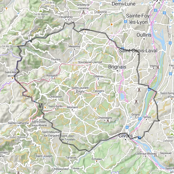
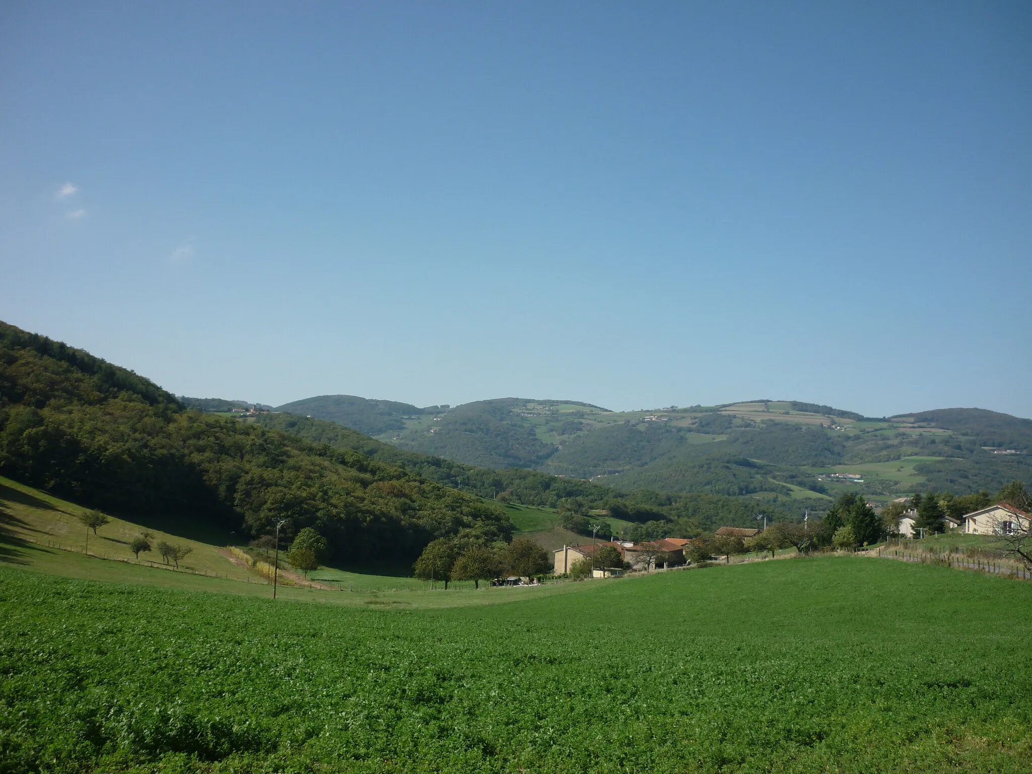
This challenging road route starting near Communay takes you to the stunning peaks of Givors, Signal de Saint-André, and Crêt de la Madonne. With a total ascent of 1,218 meters spread over a distance of 79 kilometers, this route is suitable for very well-trained amateurs seeking a demanding scenic ride. The route offers breathtaking views alongside interesting towns like Saint-André-la-Côte and Saint-Laurent-de-Vaux. It is a highly attractive route with an epicness rating of 4.
road
79 km
1218 m
Tough
Route profile
Highlights on the route
0 km
0 km
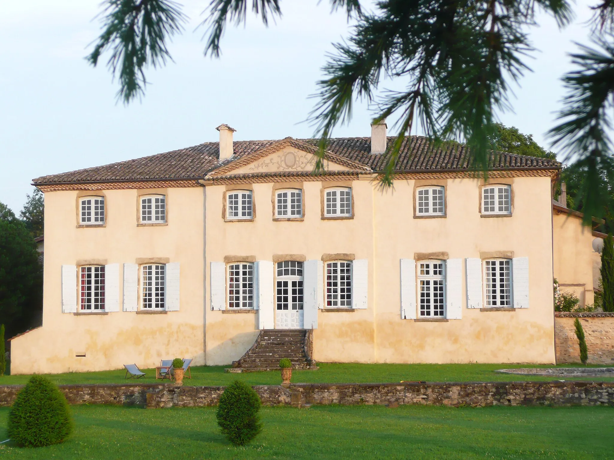
Start: Communay Village centerCommunay: Cyclist's paradise in the heart of Rhône-Alpes.
Communay is a small town located in the region of Rhône-Alpes in France. From a cyclist's perspective, Communay offers a mix of beautiful countryside roads and challenging terrain. The area is known for its rolling hills and quiet country roads, making it perfect for road cyclists and gravel riders alike. Cyclists can enjoy scenic routes through picturesque villages and vineyards. Nearby, there are several well-known climbs for those seeking a challenge, including the Col de La Luère and the Mont Chatain. In terms of cycling tourism, Communay attracts enthusiasts who are looking for a peaceful cycling getaway with stunning landscapes.7 km
7 km
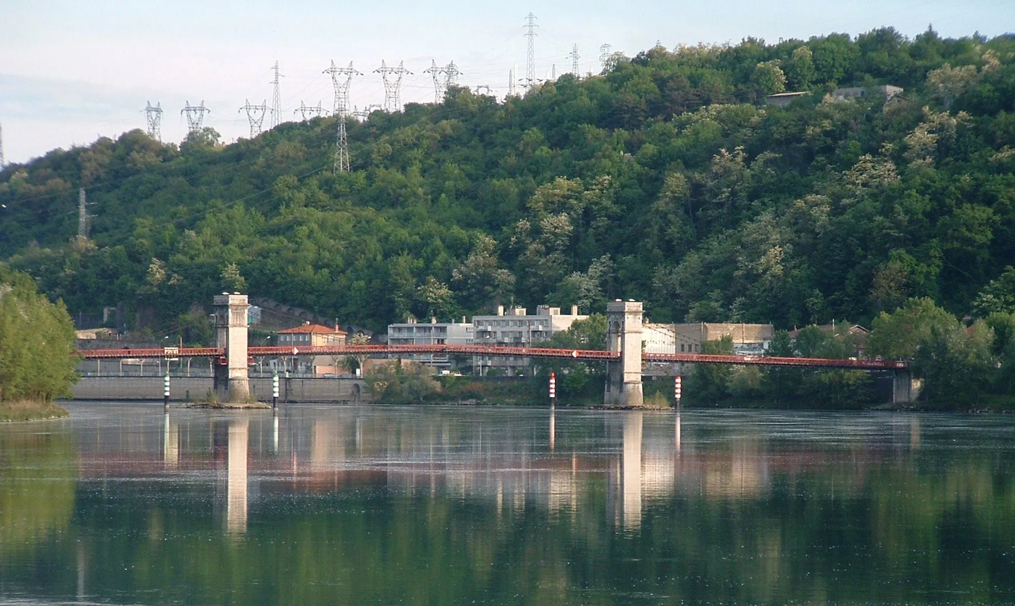
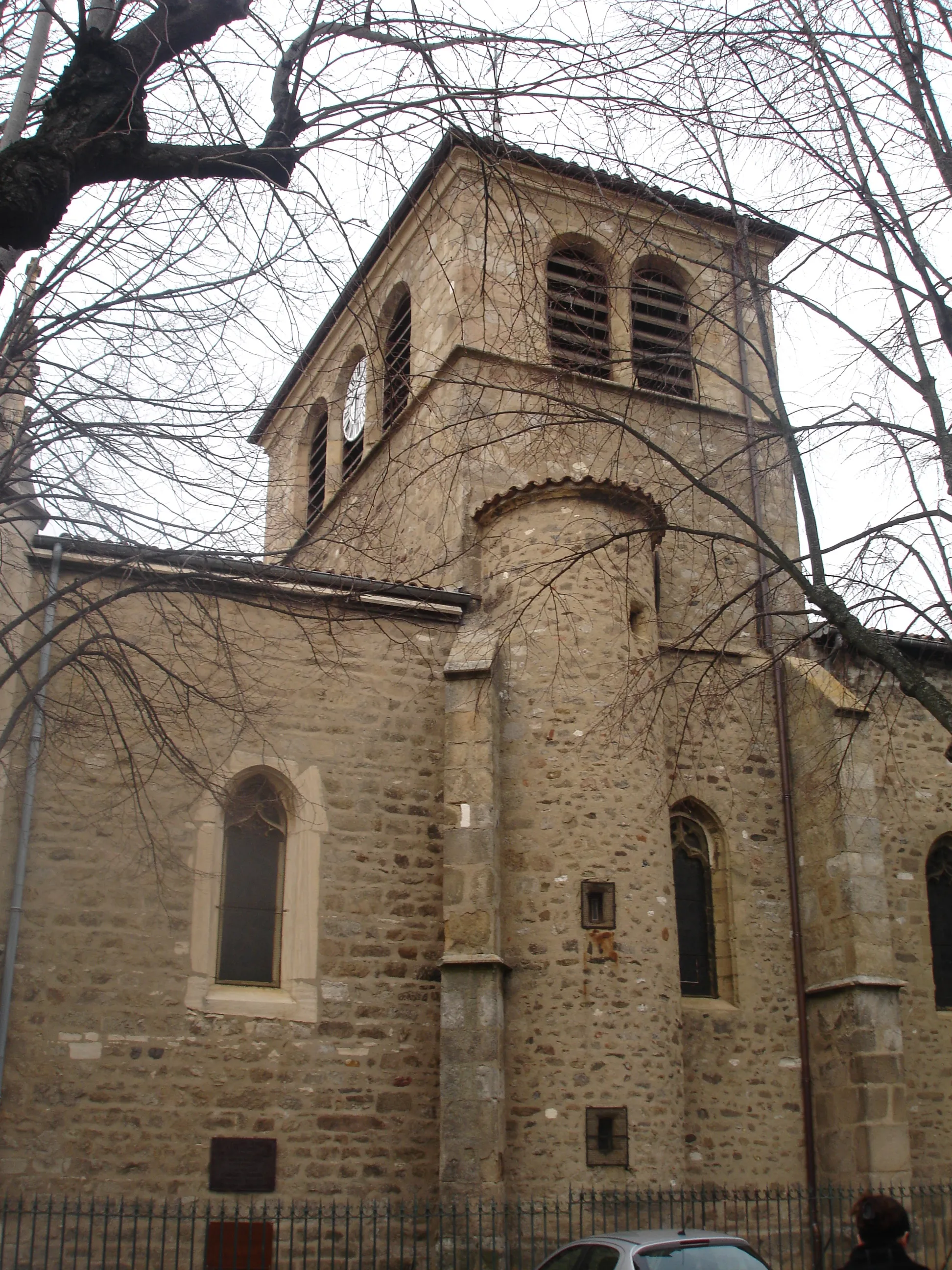
GivorsTownThe town of Givors, one of the highlights along the route, is known for its charming medieval architecture and beautiful Rhône River views.
30 km
30 km
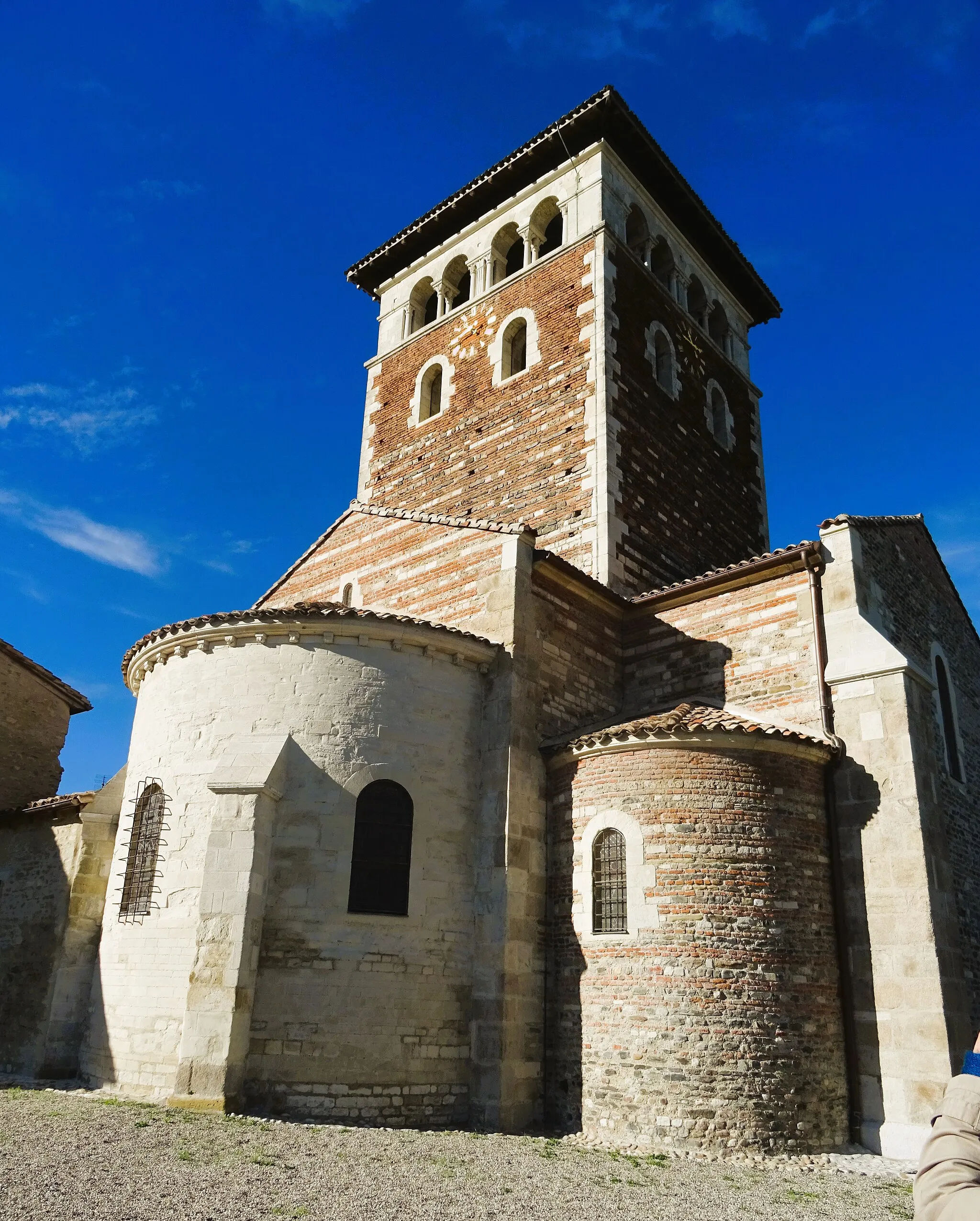
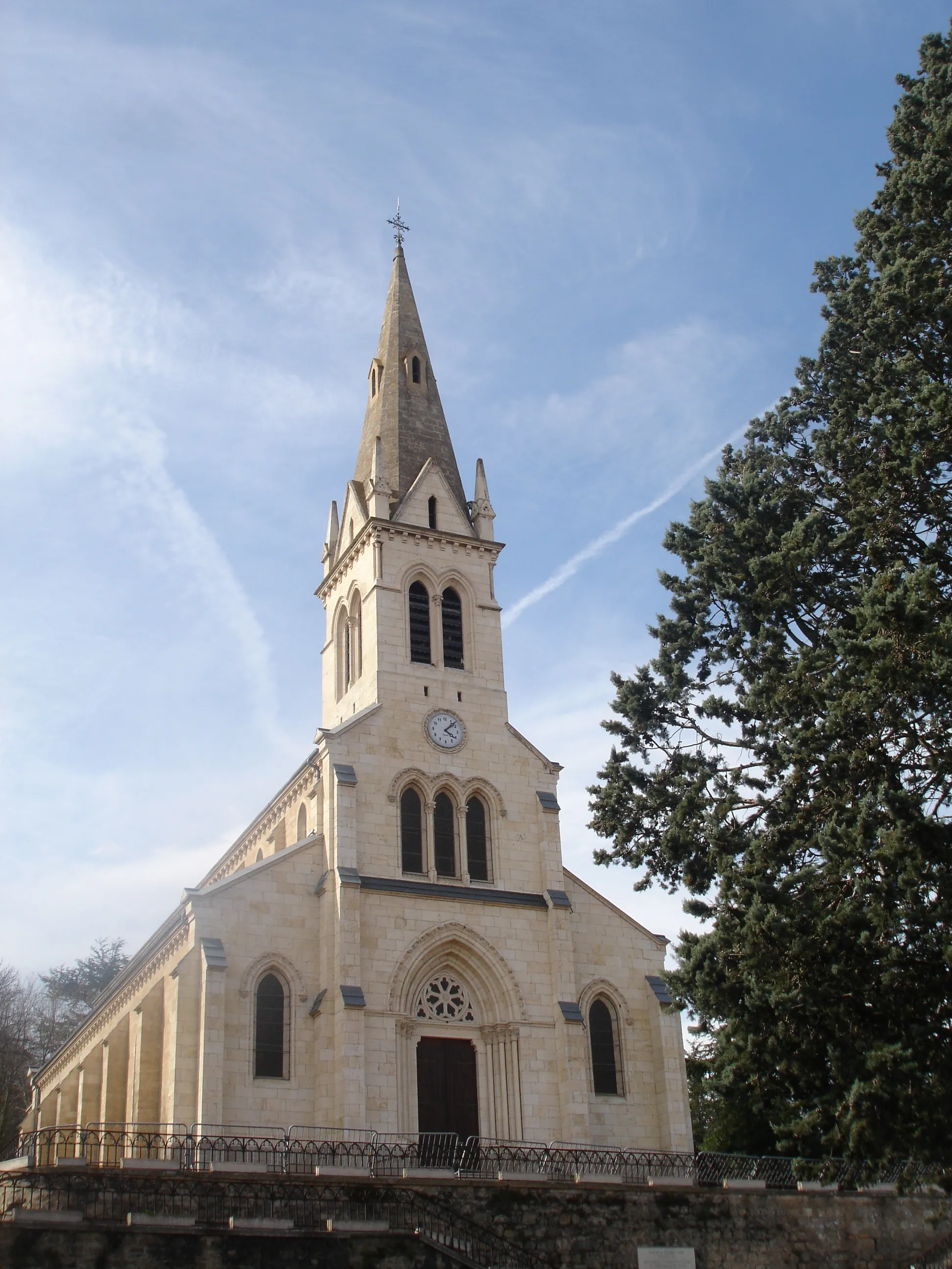
Saint-André-la-CôteVillageSaint-André-la-Côte is a picturesque village offering stunning panoramic views of the surrounding countryside.
31 km
31 km
Signal de Saint-André934 mPeakAt the summit of Signal de Saint-André, cyclists can enjoy breathtaking vistas of the Alps, Mont Blanc, and even Lyon on clear days.
45 km
45 km
Crêt de la Madonne864 mPeakCrêt de la Madonne is a challenging climb that rewards cyclists with magnificent views of the valley and the surrounding Beaujolais landscapes.
49 km
49 km
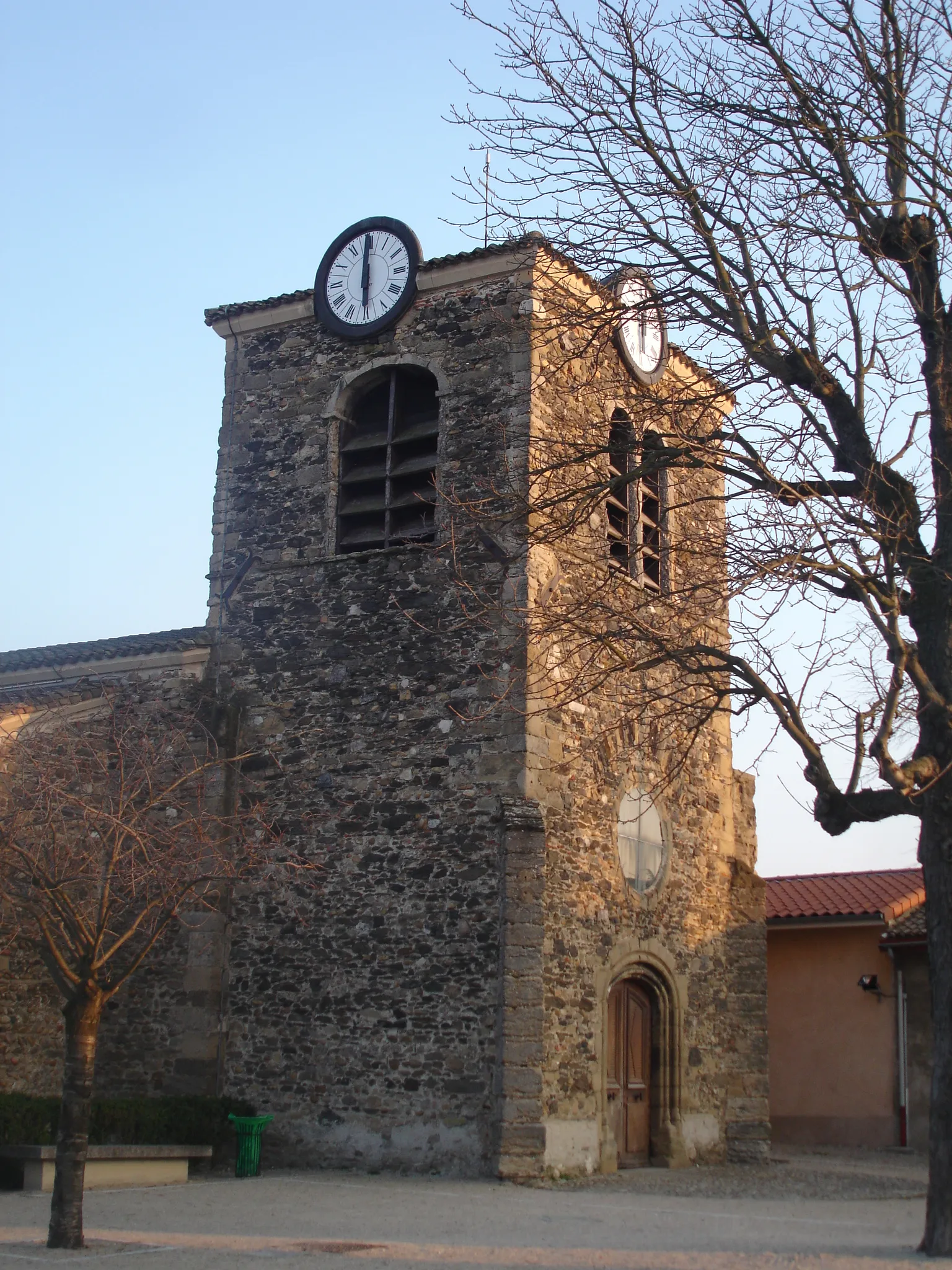
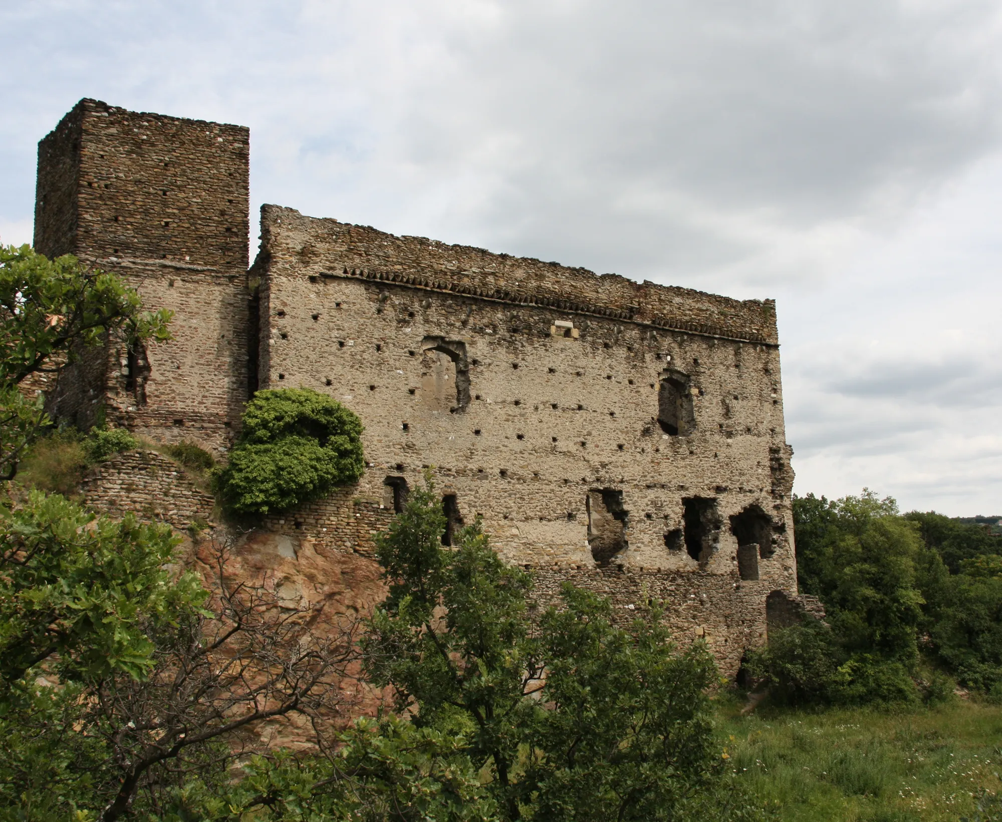
Saint-Laurent-de-VauxVillageThe village of Saint-Laurent-de-Vaux has a rich historical heritage and beautiful rural landscapes.
66 km
66 km
Saint-Genis-LavalTownSaint-Genis-Laval is known for its beautiful parks and green spaces, offering a pleasant rest stop during the ride.
79 km
79 km
CommunayVillage79 km
79 km
Finish: Communay Village centerCommunay: Cyclist's paradise in the heart of Rhône-Alpes.
Cycling routes from Communay:
Gravel Route: Discover Vienne's Countryside Gravel Route: Communay Loop Villette-de-Vienne - Rével-Tourdan - Petite Pra Road Route: Communay Adventure Serpaize - Haut de Cornavan Givors - Crêt du Bouchat - Vernaison Givors - Signal de Saint-André - Crêt de la Madonne Road Route: Scenic Rhône Cycling Road Route: Communay Circuit Givors - Mont Monnet -Saint-Jean-de-Touslas The Vernaison Circuit
Cycling routes nearby: