The Route of Col de Tourniol
A road cycling route starting from Crest
Experience the challenging climb to Col de Tourniol and enjoy the scenic views along the way.
Map
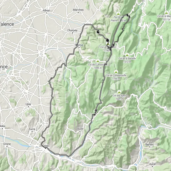
This round-trip cycling route near Crest offers a thrilling challenge for experienced cyclists. The highlight of the route is the ascent to Col de Tourniol, a famous climb known for its breathtaking views of the Rhône-Alpes region. The overall distance is 106 kilometers, with a total ascent of 2086 meters.
road
106 km
2086 m
Tough
Route profile
Highlights on the route
0 km
0 km
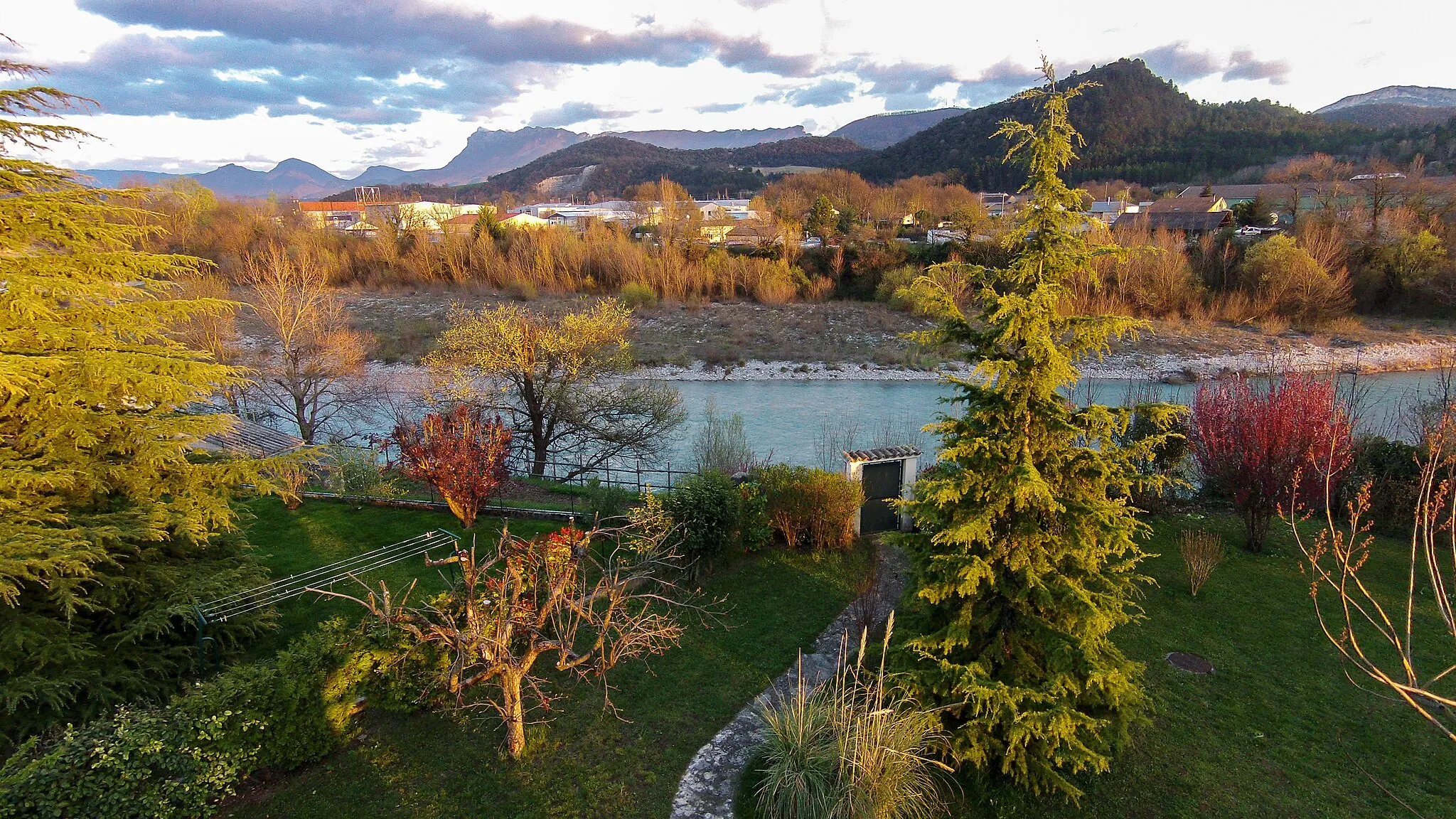
Start: Crest Village centerCrest: Scenic locality with vibrant cycling culture and iconic climbs.
Crest is a beautiful locality situated in the Rhône-Alpes region of France. From a road cyclist's perspective, Crest offers a mix of flat and hilly terrain, providing enjoyable rides for cyclists of all levels. The region boasts stunning landscapes, including rivers and vineyards, adding to the scenic charm of cycling here. A well-known climbing spot nearby is the Mont Ventoux, an iconic ascent popular among professional and recreational cyclists alike. With its vibrant cycling culture and numerous cycling routes, Crest is a fantastic destination for road cyclists looking for a mix of natural beauty and challenging climbs.6 km
6 km
Vaunaveys-la-RochetteVillageVaunaveys-la-Rochette is a charming village located 6 kilometers into the route, offering a perfect place to rest and enjoy the picturesque surroundings.
20 km
20 km
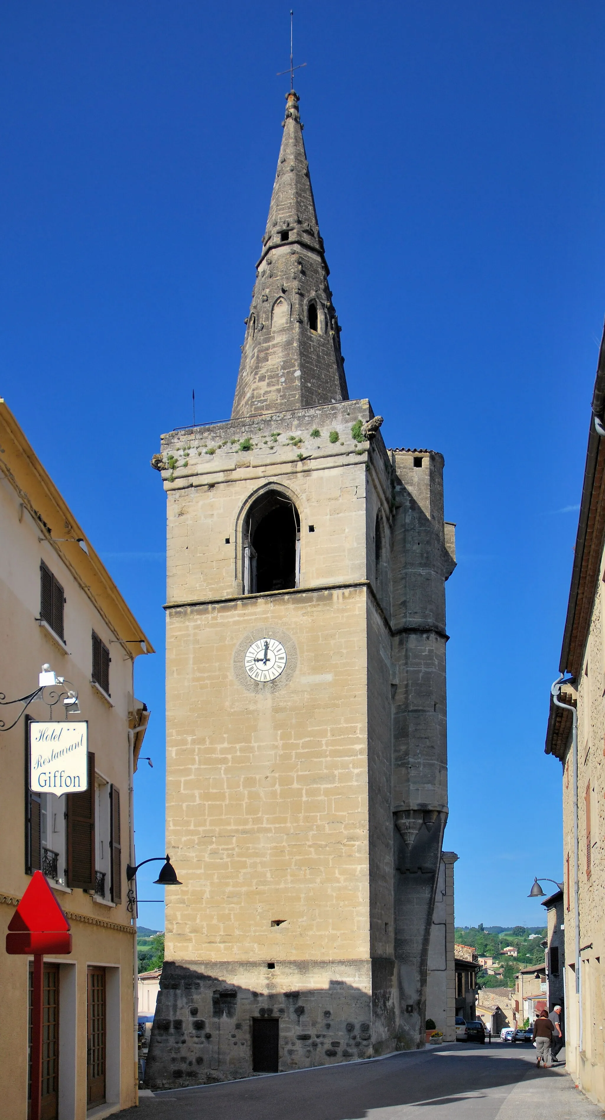
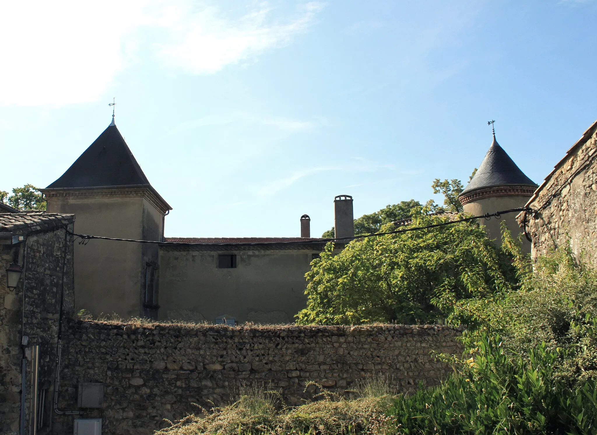
BarcelonneVillageBarcelonne is a historic town that you'll encounter 20 kilometers into the route. Take some time to explore its cultural heritage and enjoy the local cuisine.
20 km
20 km
Tour de BarceloneViewpointTour de Barcelone is a medieval tower located in Barcelonne, offering panoramic views of the surrounding countryside. It's worth a stop to admire the architecture and learn about the area's history.
35 km
35 km
BarbièresVillageBarbières is a small village known for its traditional stone houses. Take a moment to stroll through its streets and soak up the peaceful atmosphere.
47 km
47 km
Col de Tourniol1145 mMountain PassCol de Tourniol is the highlight of the route, located at 47 kilometers. This legendary climb offers stunning vistas of the Rhône-Alpes region and is a must-visit for cycling enthusiasts.
52 km
52 km
Le Grand ÉchaillonHamletLe Grand Échaillon is a scenic spot located at 52 kilometers into the route. Take a break and enjoy the panoramic views of the surrounding mountains and deep valleys.
60 km
60 km
Col de Bioux790 mMountain PassCol de Bioux is a challenging climb at the 60-kilometer mark. Push your limits and enjoy the rewarding views from the top.
71 km
71 km
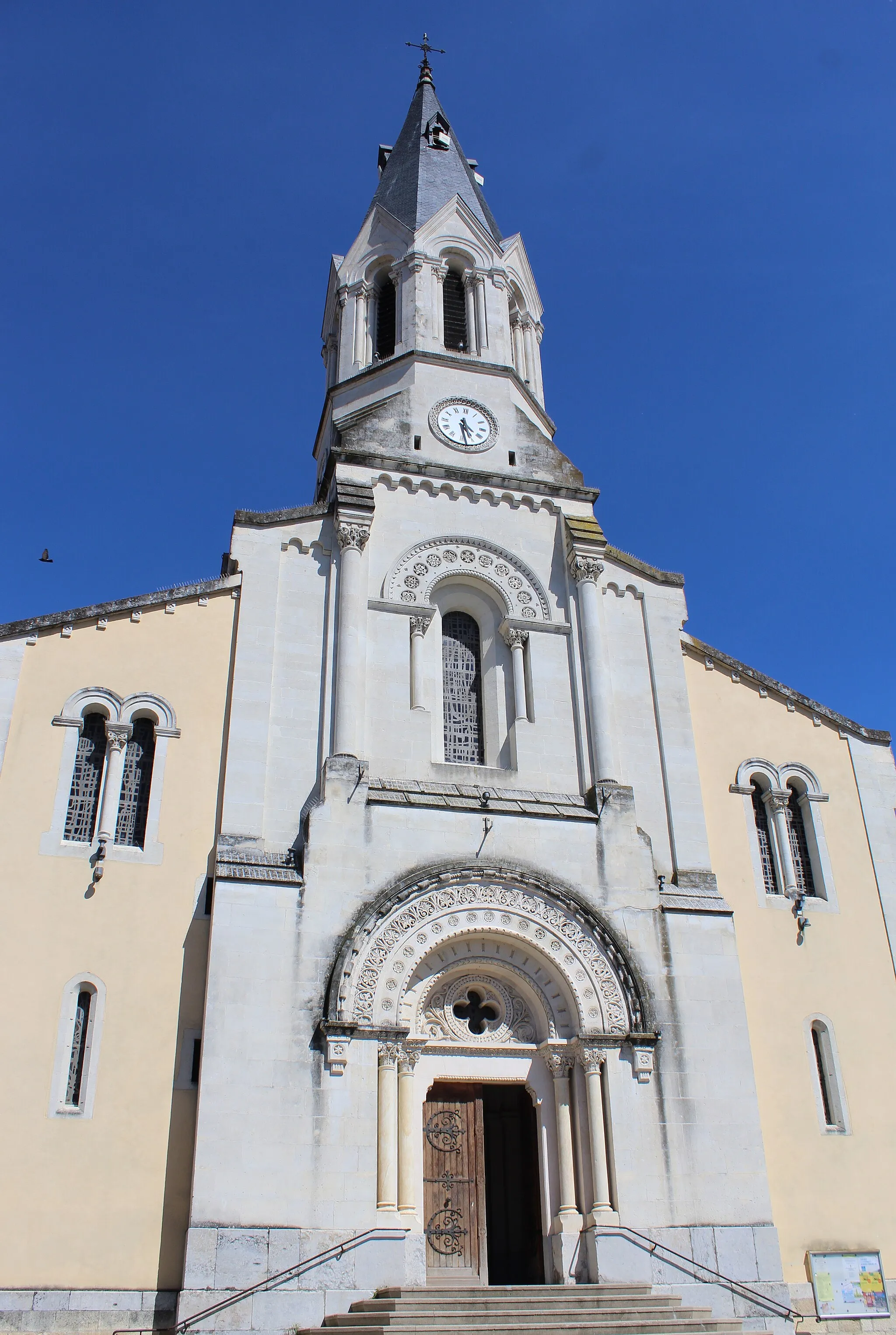
LéoncelVillageLéoncel is a picturesque village nestled in the mountains, offering a peaceful retreat and stunning natural beauty. Take a moment to explore its abbey and enjoy the tranquility of the surroundings.
79 km
79 km
Col de Bacchus980 mMountain PassCol de Bacchus is a lesser-known climb at 79 kilometers, offering quiet roads and beautiful scenery. It's a hidden gem for cycling enthusiasts looking for a unique challenge.
91 km
91 km
Beaufort-sur-GervanneVillageBeaufort-sur-Gervanne is a charming village that you'll reach at the 91-kilometer mark. Stop by the local café for a refreshing drink and take in the picturesque views of the Gervanne river.
103 km
103 km
Aouste-sur-SyeVillageAouste-sur-Sye is a vibrant town located at 103 kilometers into the route. Explore its bustling market and taste some delicious local produce.
106 km
106 km
Finish: Crest Village centerCrest: Scenic locality with vibrant cycling culture and iconic climbs.
Cycling routes nearby: