The Gervanne Loop
A road cycling route starting from Crest
A scenic loop through the Gervanne Valley
Map
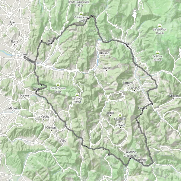
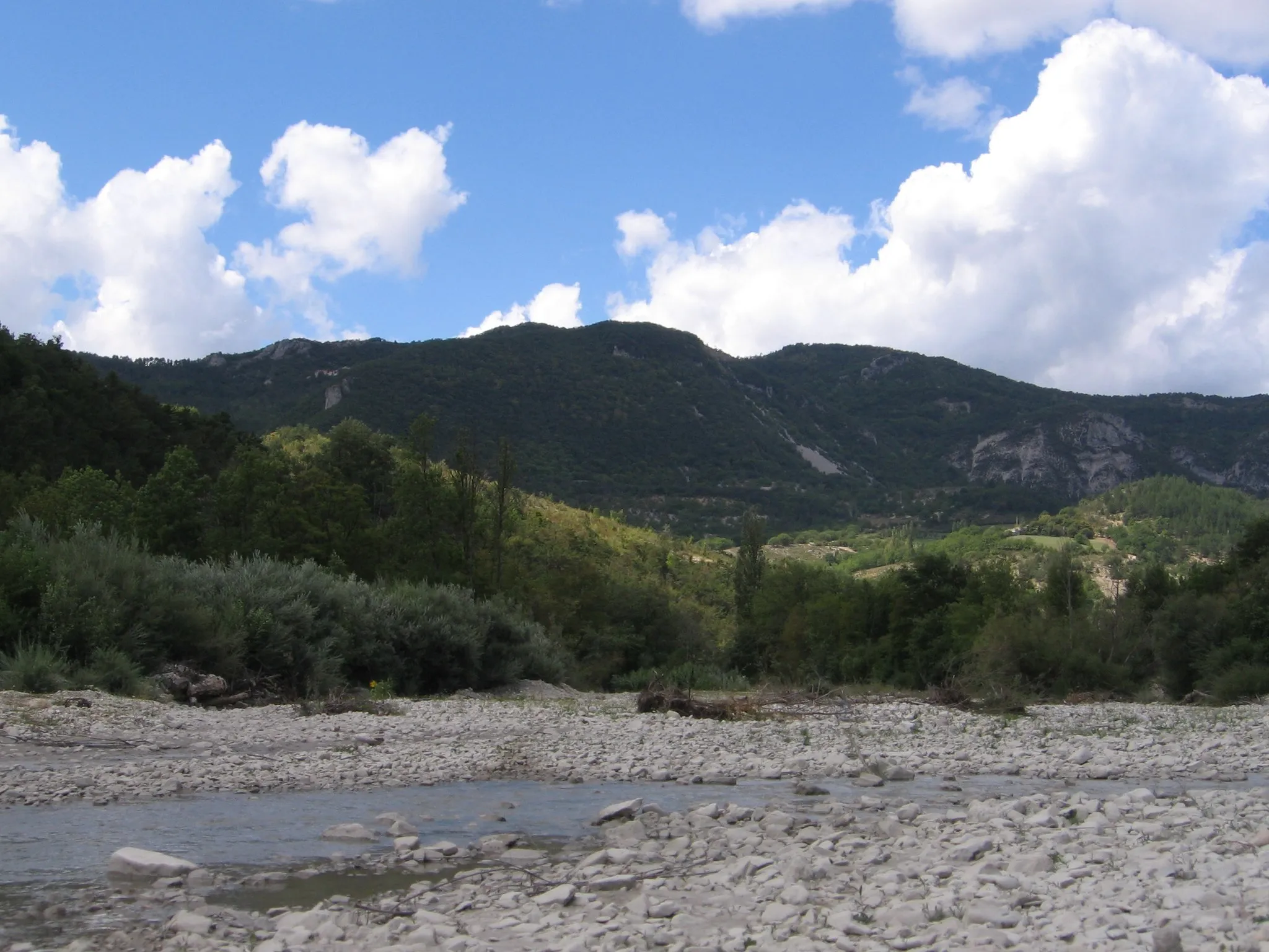
The Gervanne Loop is a scenic cycling route that takes you through the beautiful Gervanne Valley in the Rhône-Alpes region of France. The route offers stunning views of the surrounding mountains and picturesque villages, making it a perfect choice for cycling enthusiasts who are looking for both natural beauty and cultural charm. With a total distance of 160 kilometers and an ascent of 2487 meters, this route is suitable for well-trained amateurs. The epicness of this route is rated as 3, offering a challenging yet enjoyable cycling experience.
road
160 km
2487 m
Tough
Route profile
Highlights on the route
0 km
0 km
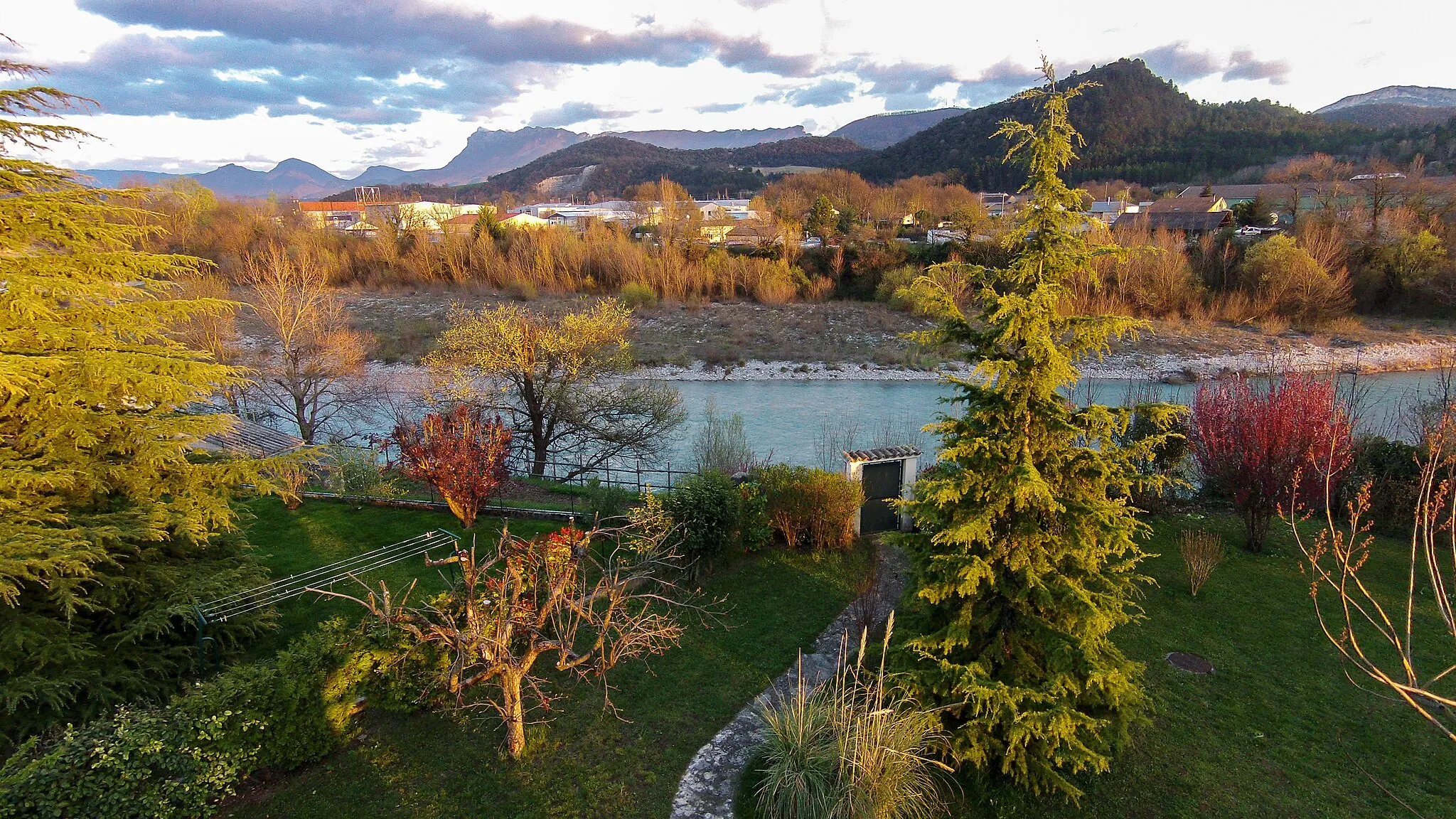
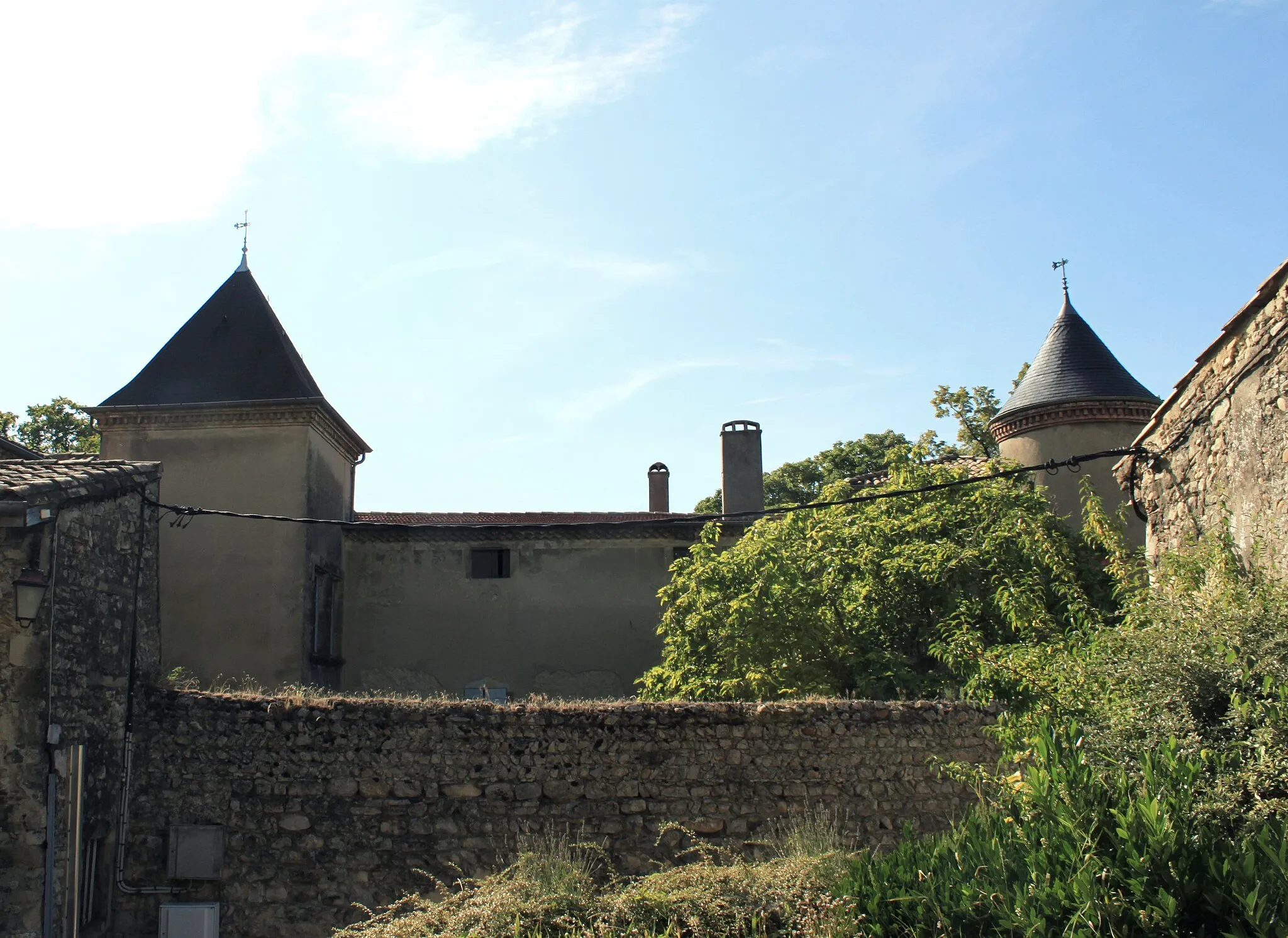
Start: Crest Village centerCrest: Scenic locality with vibrant cycling culture and iconic climbs.
Crest is a beautiful locality situated in the Rhône-Alpes region of France. From a road cyclist's perspective, Crest offers a mix of flat and hilly terrain, providing enjoyable rides for cyclists of all levels. The region boasts stunning landscapes, including rivers and vineyards, adding to the scenic charm of cycling here. A well-known climbing spot nearby is the Mont Ventoux, an iconic ascent popular among professional and recreational cyclists alike. With its vibrant cycling culture and numerous cycling routes, Crest is a fantastic destination for road cyclists looking for a mix of natural beauty and challenging climbs.17 km
17 km
Beaufort-sur-GervanneVillageBeaufort-sur-Gervanne, a small village known for its medieval charm and traditional delicacies. Stop by for a taste of local life and enjoy the scenic views.
29 km
29 km
Col de la Croix745 mMountain PassCol de la Croix, a mountain pass that offers breathtaking panoramic views of the surrounding peaks. Prepare for a challenging climb and reward yourself with spectacular vistas at the top.
37 km
37 km
Vachères-en-QuintVillageVachères-en-Quint, a charming village built on a cliffside. Take a moment to explore its narrow streets and admire the unique architecture.
47 km
47 km
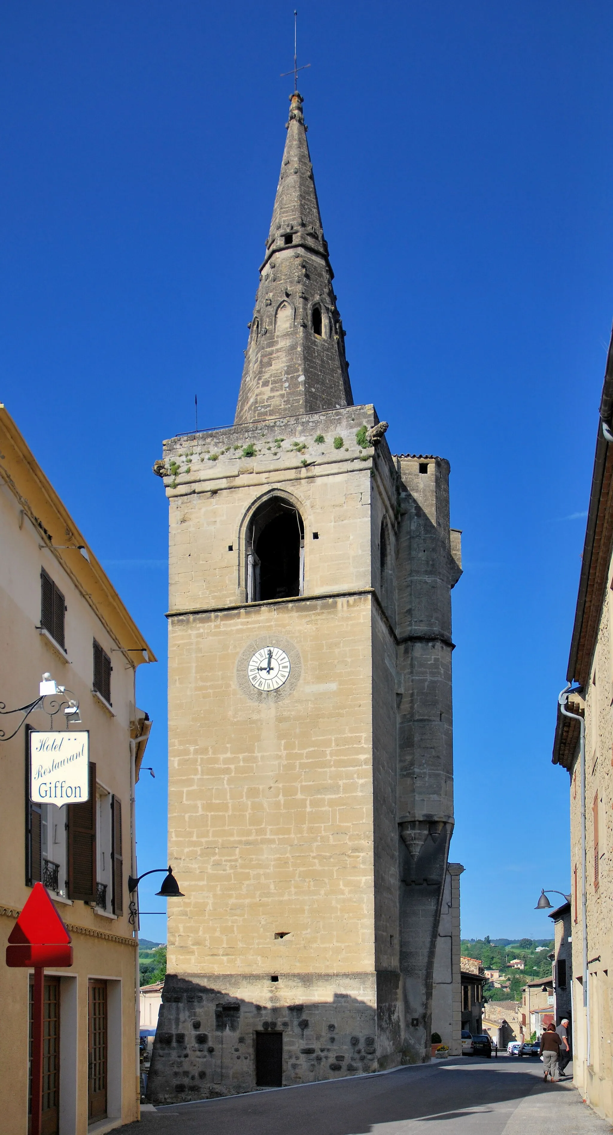
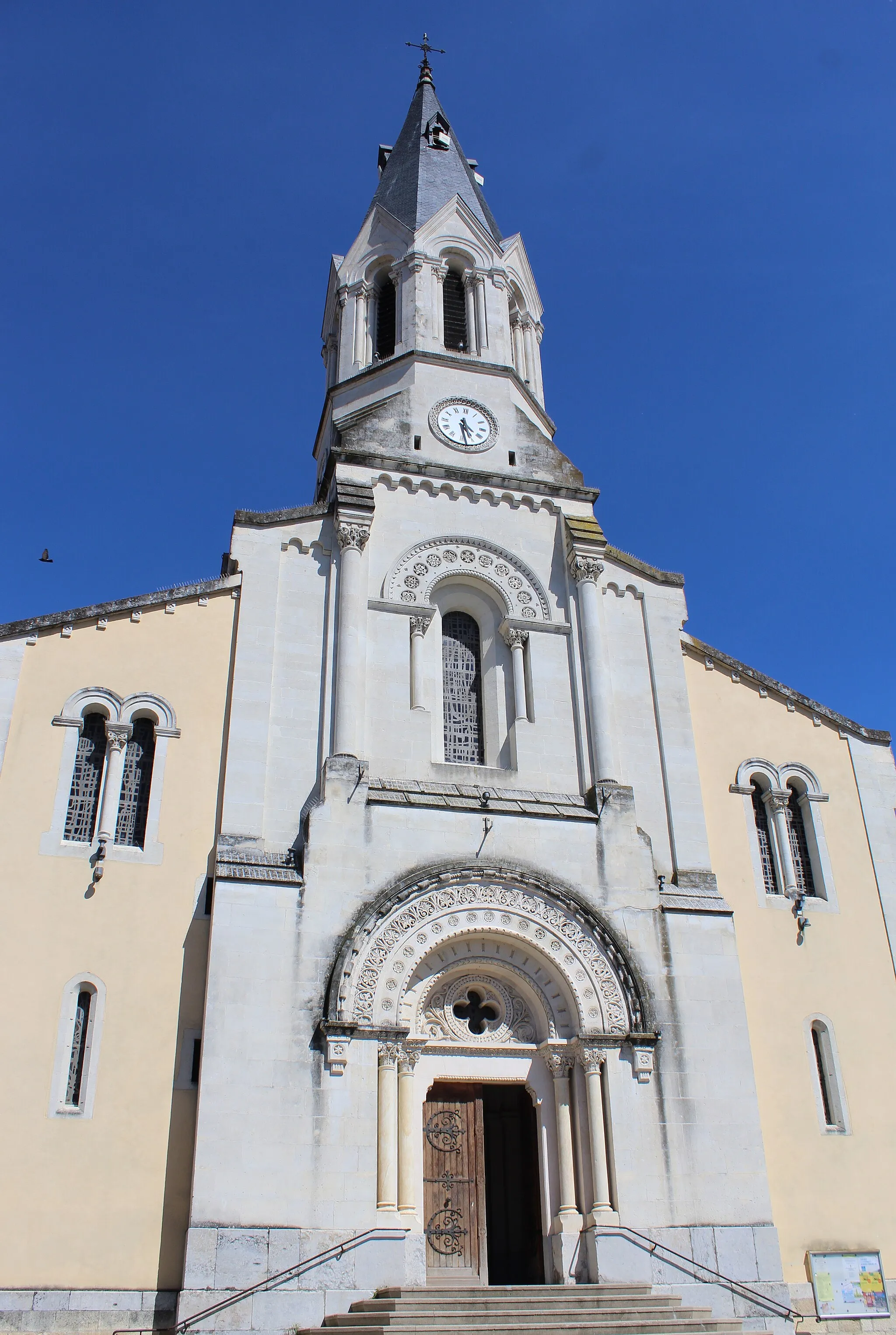
DieVillageDie, a historic town famous for its cathedral and picturesque old town. Discover the rich history of the area and soak in the charming atmosphere.
64 km
64 km
Le Collet627 mMountain PassLe Collet, a small mountain village surrounded by lush greenery. Enjoy a peaceful break and take in the tranquil surroundings.
70 km
70 km
Luc-en-DioisVillage83 km
83 km
Col de Prémol964 mMountain PassCol de Prémol, a challenging mountain pass known for its steep gradients and stunning views. Test your climbing skills and enjoy the rewarding panoramas.
85 km
85 km
Bellegarde-en-DioisVillage94 km
94 km
La CharceVillageLa Charce, a picturesque village nestled in the heart of nature. Take a breath of fresh air and immerse yourself in the peaceful surroundings.
96 km
96 km
Montagne de Haute Huchette813 mPeakMontagne de Haute Huchette, a scenic mountain with panoramic views. Challenge yourself with a climb and soak in the beauty of the surrounding landscape.
103 km
103 km
Cornillon-sur-l'OuleVillageCornillon-sur-l'Oule, a charming village set against a backdrop of rolling hills. Explore its quaint streets and discover hidden gems.
117 km
117 km
Col Lescou829 mMountain PassCol Lescou, a mountain pass offering stunning views of the surrounding peaks. Push yourself to reach the top and be rewarded with breathtaking vistas.
133 km
133 km
BourdeauxVillageBourdeaux, a historic village known for its medieval architecture and narrow streets. Take a stroll through time and admire the village's timeless charm.
148 km
148 km
Col du Pas de Lauzun504 mMountain PassCol du Pas de Lauzun, a challenging mountain pass that takes you through beautiful natural landscapes. Test your endurance and be rewarded with incredible vistas along the way.
156 km
156 km
Aouste-sur-SyeVillageAouste-sur-Sye, a charming town located on the banks of the Sye River. Enjoy a relaxing break by the water and soak in the tranquil atmosphere.
160 km
160 km
Finish: Crest Village centerCrest: Scenic locality with vibrant cycling culture and iconic climbs.
Cycling routes nearby: