The Chartreuse Challenge
A road cycling route starting from Echirolles
Push your limits with this challenging route through the scenic Chartreuse mountains.
Map
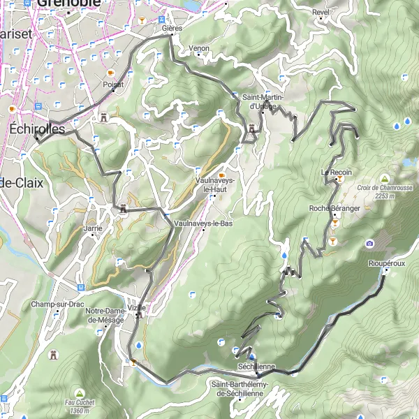
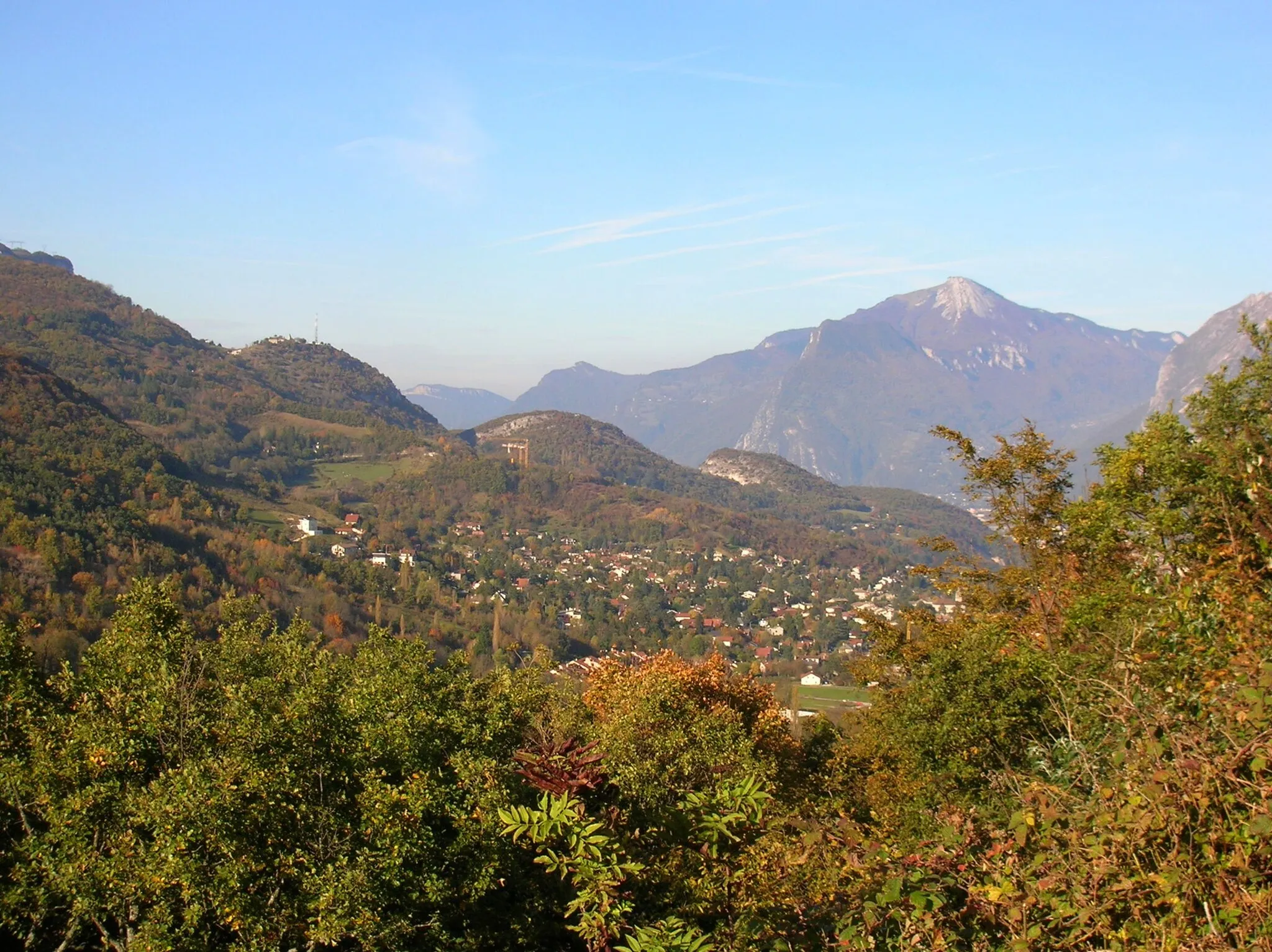
The Chartreuse Challenge is a demanding road cycling route that takes you through the stunning landscape of the Chartreuse mountains. With a total ascent of 2261 meters and a distance of 89 kilometers, this route is perfect for experienced cyclists looking for a tough challenge. Highlights along the route include the picturesque town of Eybens, the beautiful Molard lake, and the historic Chartreuse de Prémol. With its steep climbs and rewarding views, the Chartreuse Challenge is a must-do for any serious cyclist.
road
89 km
2261 m
Tough
Route profile
Highlights on the route
0 km
0 km
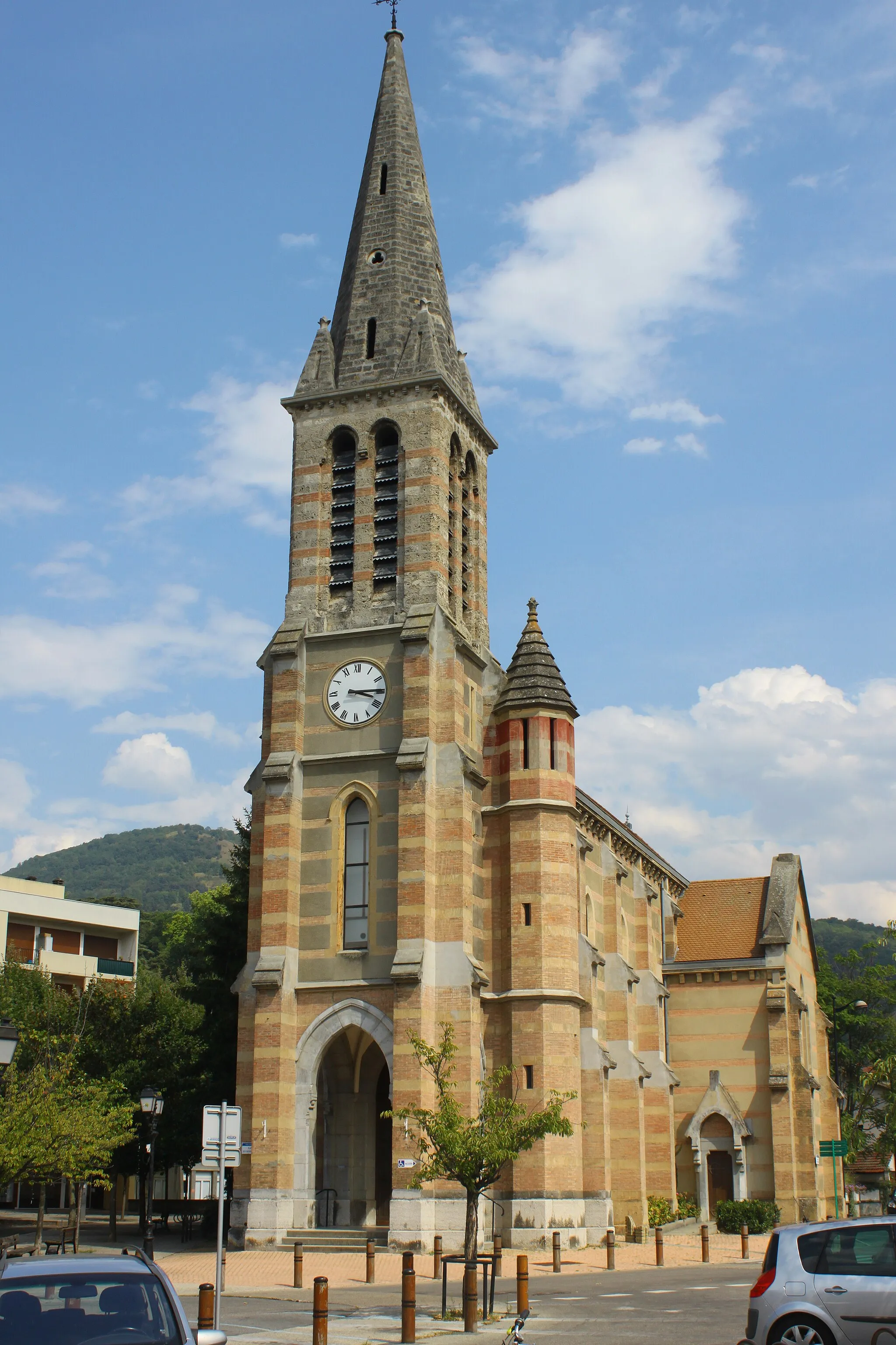
Start: Échirolles City centerÉchirolles: Conquering the legendary climbs of Échirolles
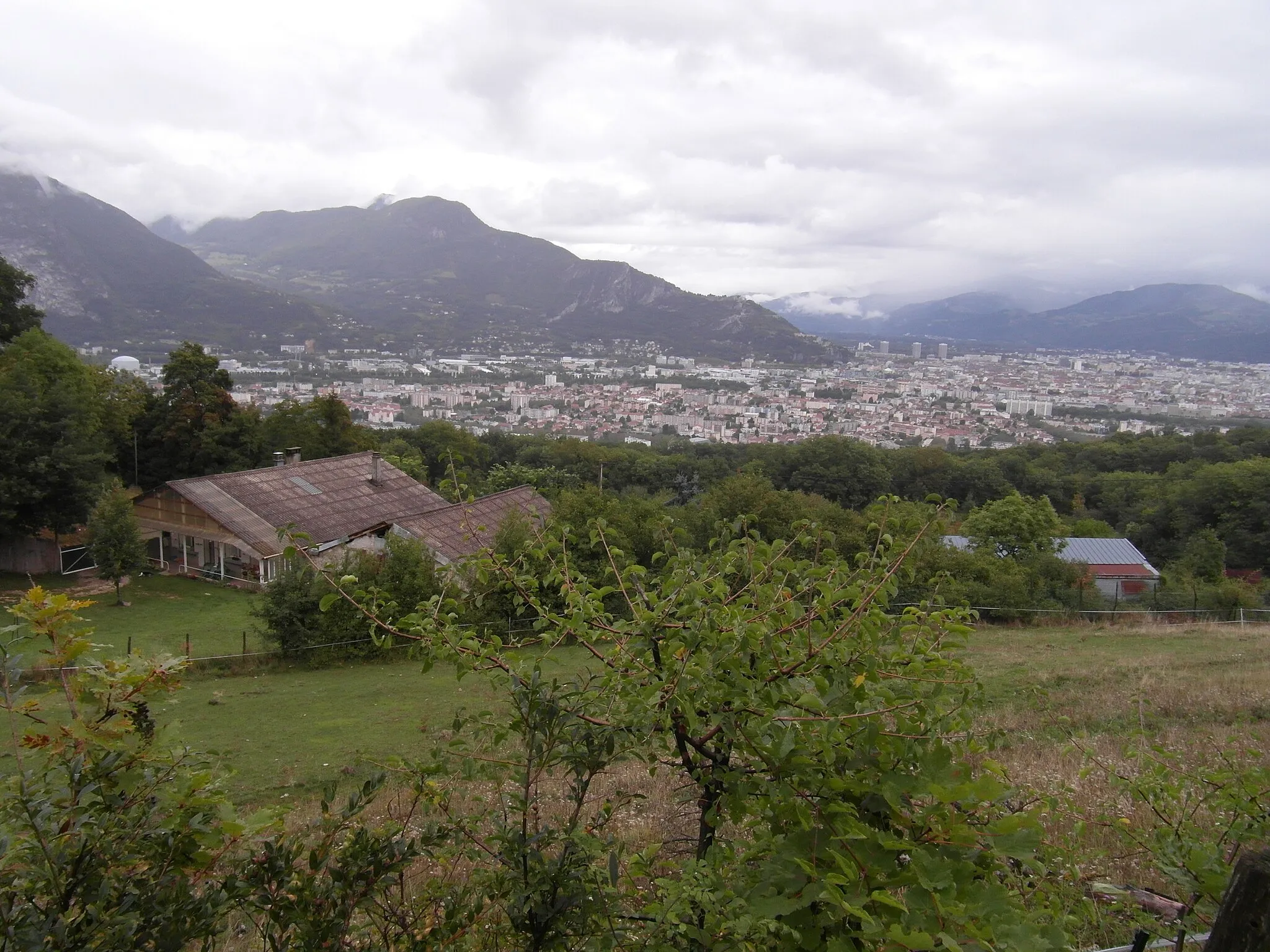
Échirolles, located in the Rhône-Alpes region of France, offers a challenging and thrilling cycling experience. The town is surrounded by the Chartreuse and Vercors mountain ranges, providing cyclists with access to some famous climbing routes. Montée de Chamrousse, a well-known climb, is just a short distance away. With its hilly terrain and steep climbs, Échirolles is a dream destination for cyclists looking for a challenge. The town also has excellent cycling infrastructure and facilities, making it a popular choice among road and gravel cyclists.2 km
2 km
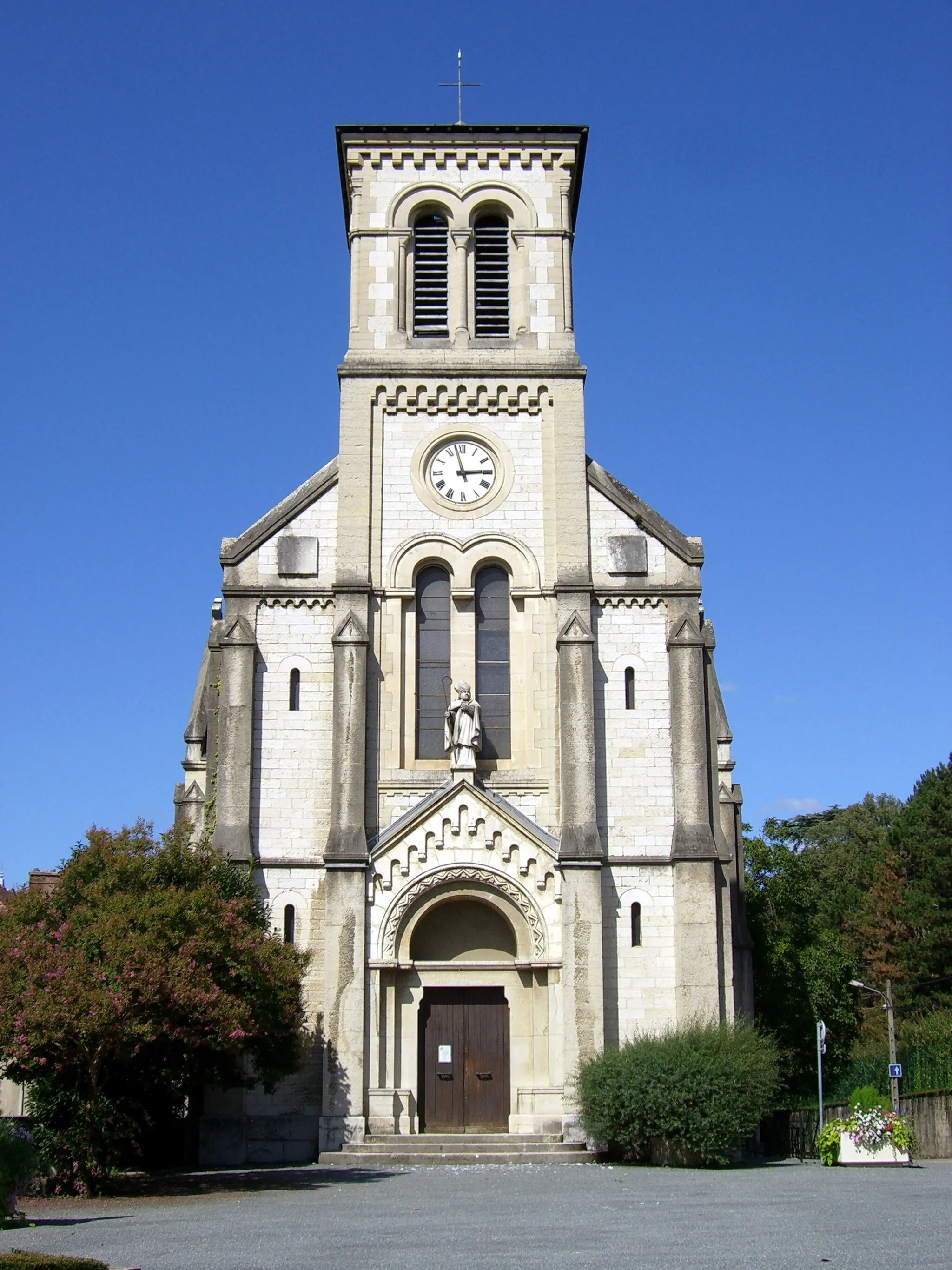
EybensVillageExplore the charming town of Eybens and its beautiful streets.
7 km
7 km
Molard427 mPeakEnjoy a peaceful moment by the serene Molard lake.
16 km
16 km
Saint-Martin-d'UriageVillageAdmire the stunning views from the top of Saint-Martin-d'Uriage.
22 km
22 km
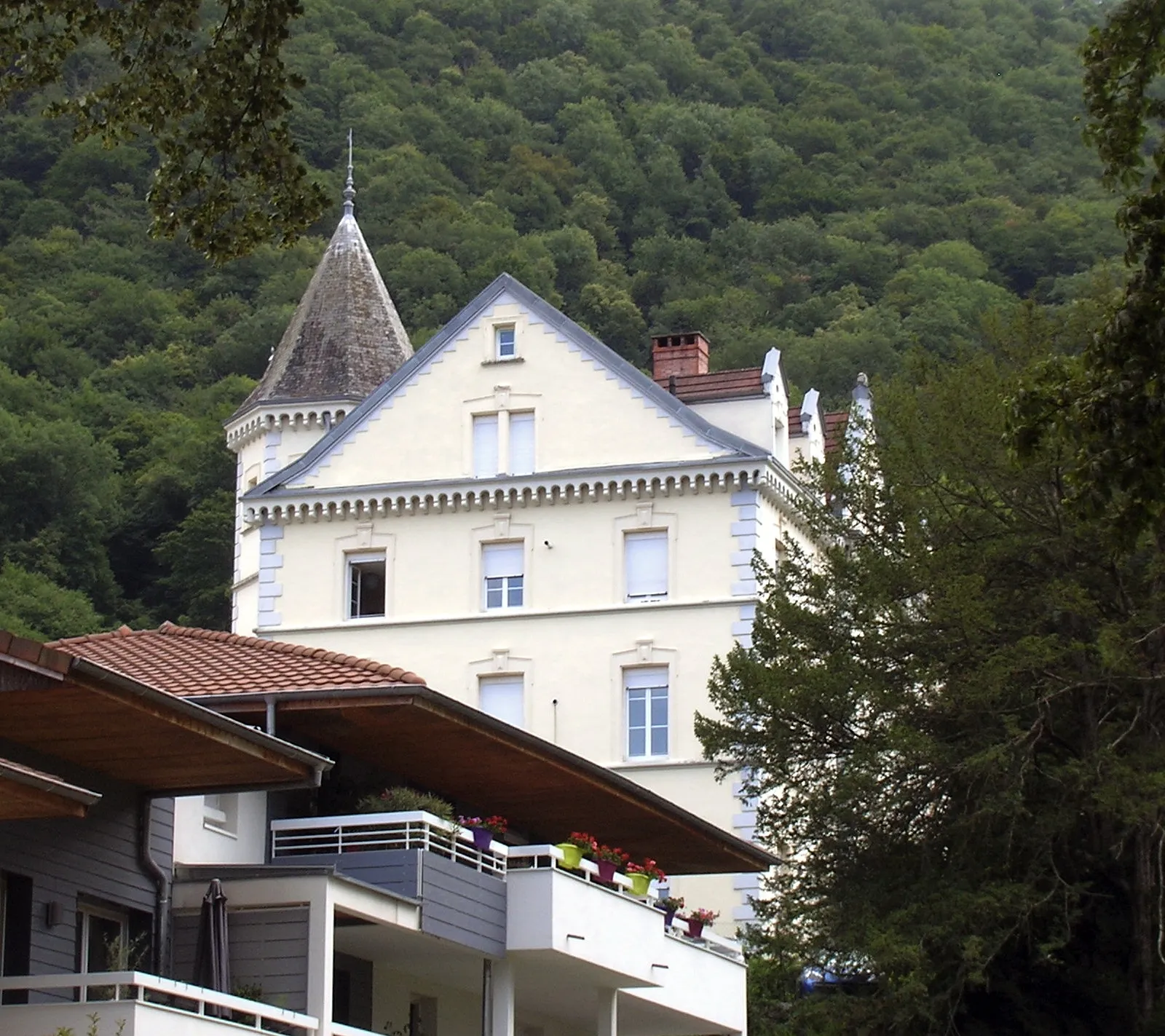
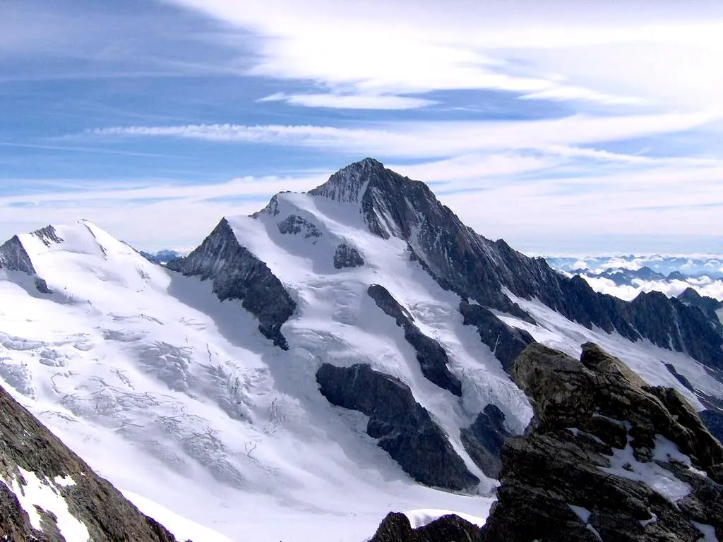
Montrond1140 mPeakDiscover the historic Montrond castle and learn about its fascinating history.
40 km
40 km
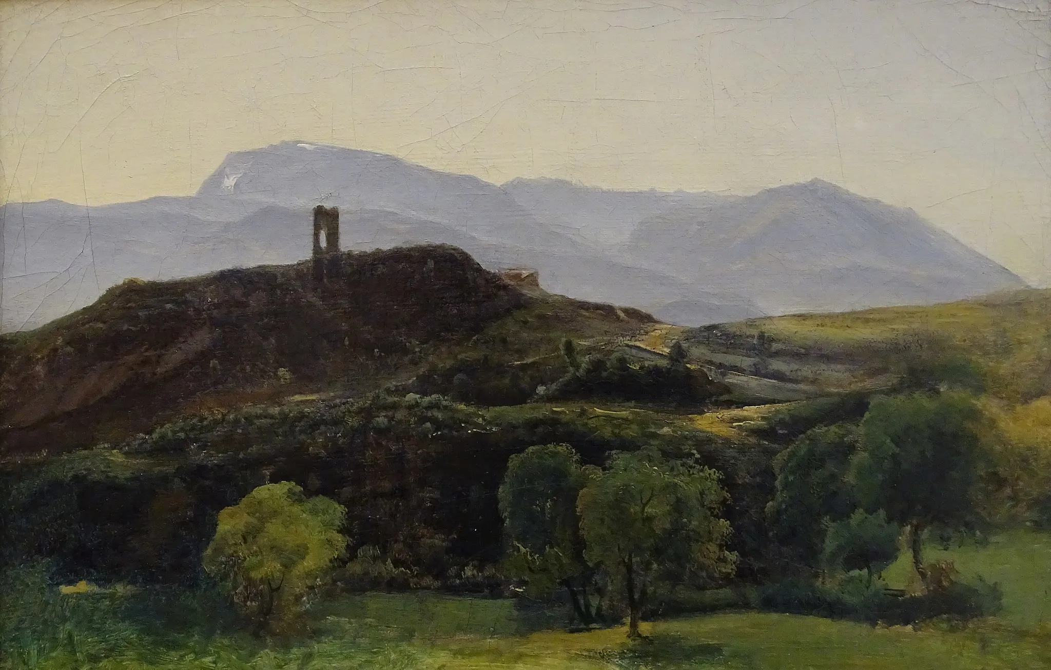
Chartreuse de PrémolCastle RuinsVisit the famous Chartreuse de Prémol and marvel at its breathtaking architecture.
41 km
41 km
Col Luitel1262 mMountain PassTake on the challenging climb to the summit of Col Luitel and enjoy panoramic views of the surrounding mountains.
51 km
51 km
SéchilienneVillagePass through the picturesque village of Séchilienne and soak in its rustic charm.
52 km
52 km
RelaisViewpointRecharge at the welcoming Relais café, known for its delicious local cuisine.
72 km
72 km
Saint-Pierre-de-MésageVillageDiscover the charming village of Saint-Pierre-de-Mésage and immerse yourself in its rural atmosphere.
80 km
80 km
Mont Rolland588 mPeakReach the summit of Mont Rolland and enjoy sweeping views of the Rhône-Alpes region.
89 km
89 km
ÉchirollesTownStart and finish your journey in the vibrant town of Échirolles.
89 km
89 km
Finish: Échirolles City centerÉchirolles: Conquering the legendary climbs of Échirolles
Cycling routes nearby: