Le Pont-de-Beauvoisin Epic Road Cycling Route
A road cycling route starting from Le Pont-de-Beauvoisin
An epic road cycling route starting near Le Pont-de-Beauvoisin
Map
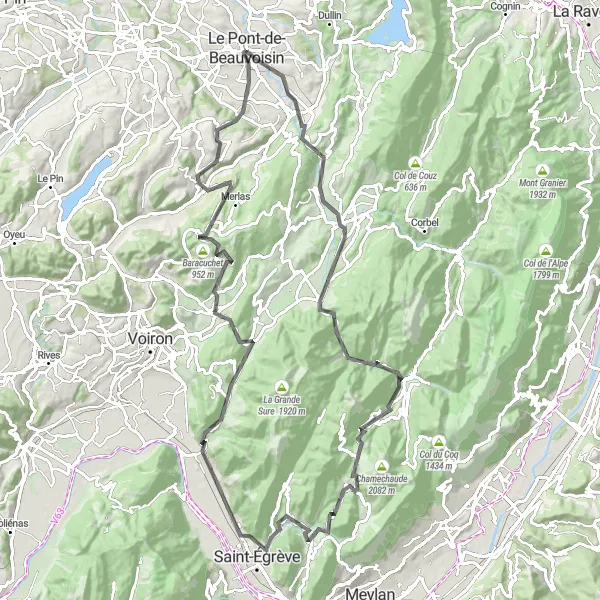
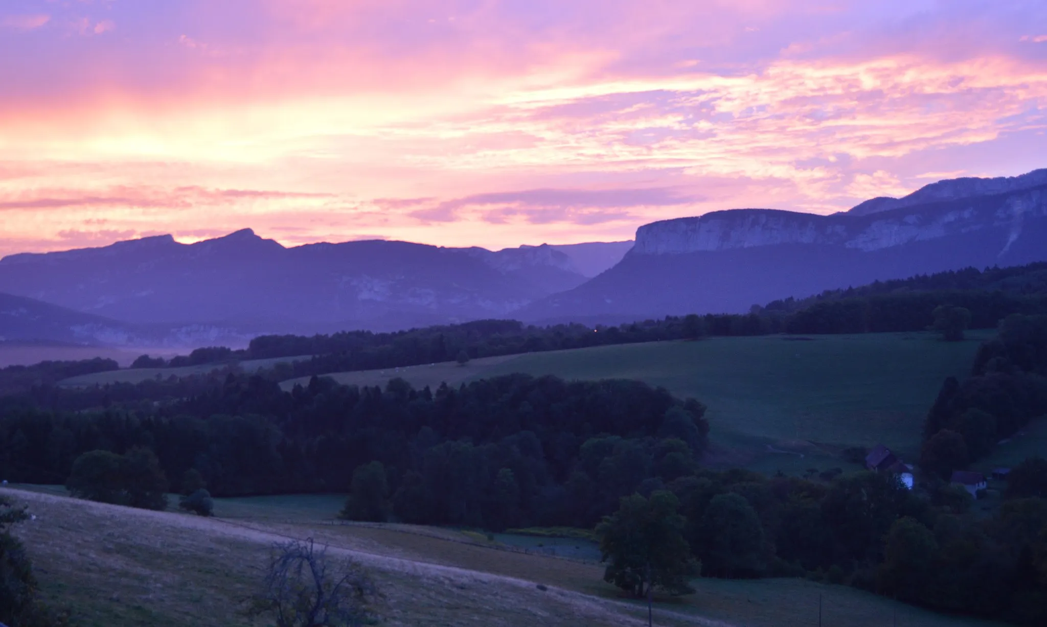
This road cycling route starting near Le Pont-de-Beauvoisin is a challenging and scenic journey through the Rhône-Alpes region of France. With a total distance of 107 kilometers and an ascent of 2978 meters, this route offers a real test for experienced cyclists. The highlights along the route include the picturesque town of Saint-Albin-de-Vaulserre, the beautiful village of Saint-Laurent-du-Pont, and the historic Porte de l'Enclos. At a score of 5, Saint-Geoire-en-Valdaine is another highlight worth mentioning. Overall, this route is best suited for cyclists looking for a challenging and rewarding adventure.
road
107 km
2978 m
Tough
Route profile
Highlights on the route
0 km
0 km
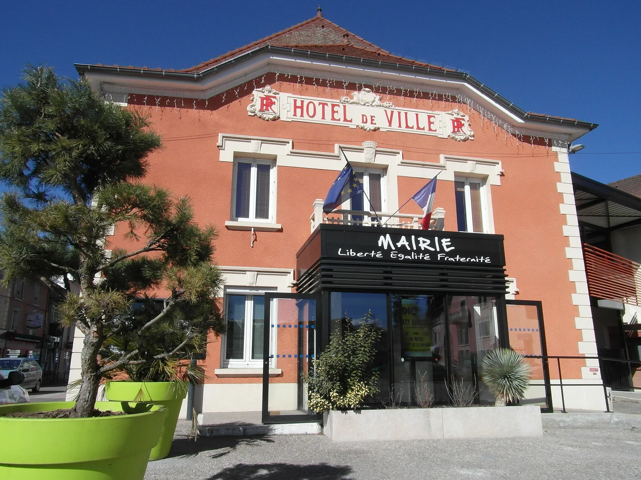
Start: Le Pont-de-Beauvoisin City centerLe Pont-de-Beauvoisin: Charming town with diverse cycling terrains.
Le Pont-de-Beauvoisin is a town located in the Rhône-Alpes region of France. From a cyclist's perspective, the locality offers a mix of flat and hilly terrains, making it suitable for both road and gravel cycling. The town itself is charming and picturesque, with beautiful views of the surrounding countryside. Cyclists can enjoy exploring the quiet country roads and take in the scenic beauty of the area. While there are no famous cycling-related spots or well-known climbs directly in Le Pont-de-Beauvoisin, the nearby Alps provide numerous challenging climbs for more experienced cyclists.5 km
5 km
Saint-Albin-de-VaulserreVillageSaint-Albin-de-Vaulserre is a picturesque town known for its charming streets and stunning views of the surrounding mountains.
20 km
20 km
Saint-Laurent-du-PontVillageSaint-Laurent-du-Pont is a beautiful village with a rich history and impressive architecture.
29 km
29 km
Porte de l'EnclosViewpointPorte de l'Enclos is a historic gate that once protected the town from invaders.
39 km
39 km
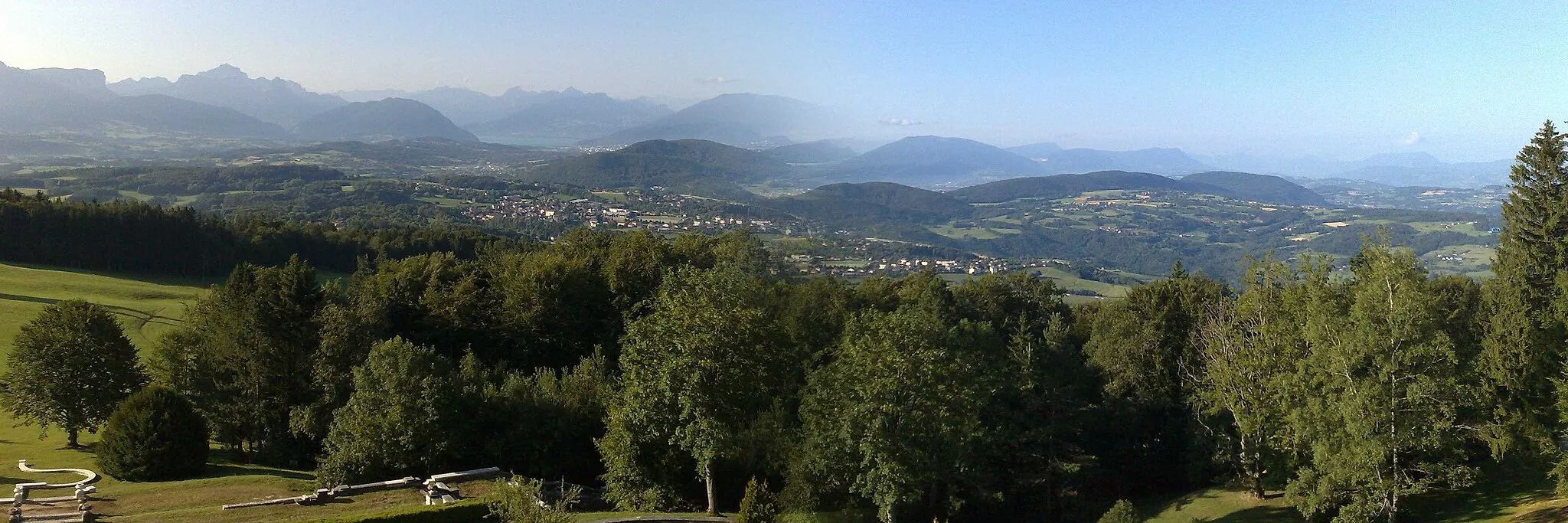
Col de Porte1326 mMountain PassCol de Porte is a challenging mountain pass with breathtaking views at the top.
53 km
53 km
ProveysieuxVillageProveysieux is a small village that offers a peaceful and scenic cycling experience.
64 km
64 km
VoreppeVillageVoreppe is a charming town with beautiful architecture and a vibrant cycling community.
70 km
70 km
Col de la Placette594 mMountain PassCol de la Placette is a stunning mountain climb that rewards cyclists with incredible panoramic views.
87 km
87 km
Baracuchet952 mPeakBaracuchet is a small village with traditional French charm, perfect for a quick rest and refuel.
95 km
95 km
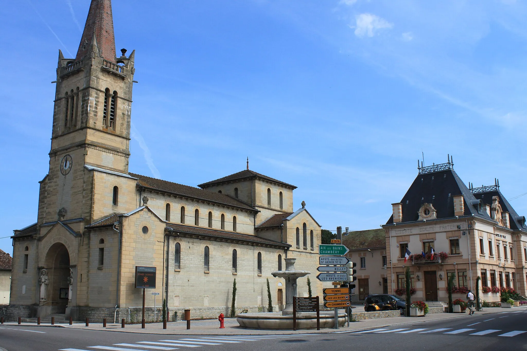
Saint-Geoire-en-ValdaineVillageSaint-Geoire-en-Valdaine is a picturesque village surrounded by rolling green hills and stunning countryside.
106 km
106 km
Pont-de-BeauvoisinVillagePont-de-Beauvoisin is the starting point for this epic road cycling route and offers a variety of amenities for cyclists.
107 km
107 km
Finish: Le Pont-de-Beauvoisin City centerLe Pont-de-Beauvoisin: Charming town with diverse cycling terrains.
Cycling routes from Le Pont-de-Beauvoisin:
Le Pont-de-Beauvoisin Loop Le Pont-de-Beauvoisin Scenic Road Cycling Route Le Pont-de-Beauvoisin Loop Le Pont-de-Beauvoisin to Romagnieu Le Pont-de-Beauvoisin to Le Bourget-du-Lac Le Pont-de-Beauvoisin Gravel Adventure Le Pont-de-Beauvoisin to Chambéry Le Pont-de-Beauvoisin Epic Road Cycling Route Charming Villages and Scenic Landscapes Ultimate Mountain Challenge Pont-de-Beauvoisin Loop
Cycling routes nearby: