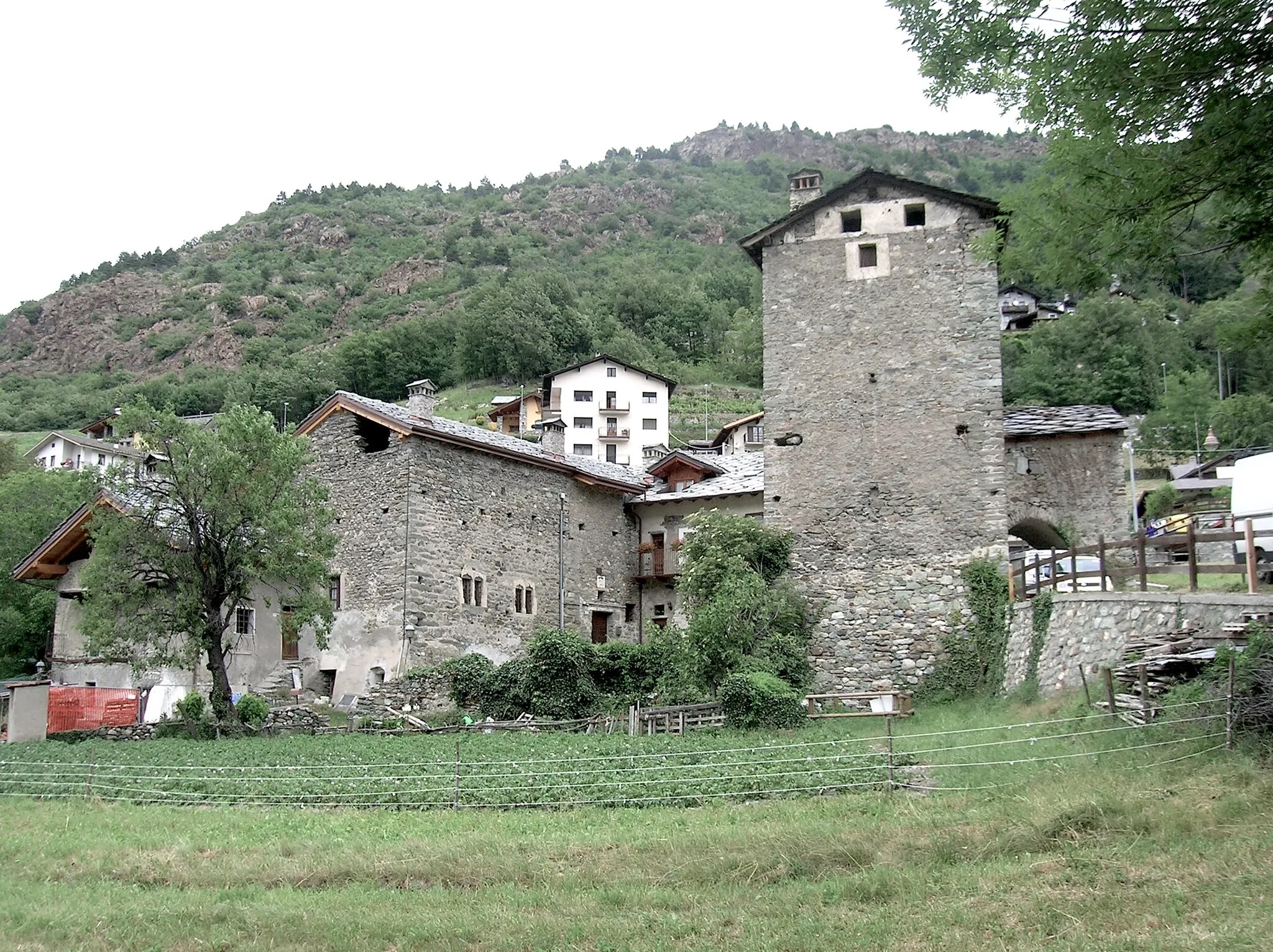
An idyllic cycling getaway with access to the renowned Mont Salève climb.
Cycling routes from Lentilly
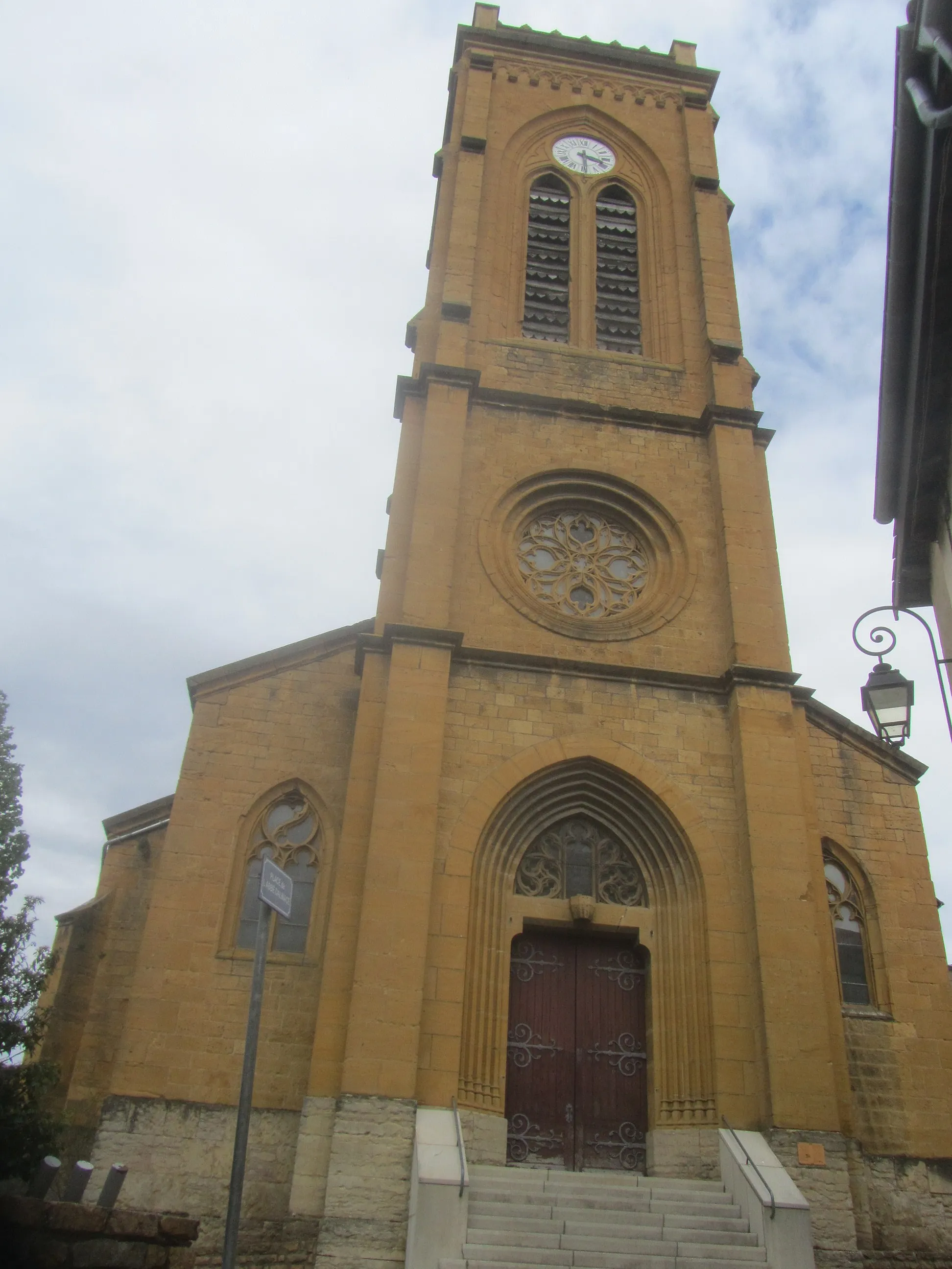
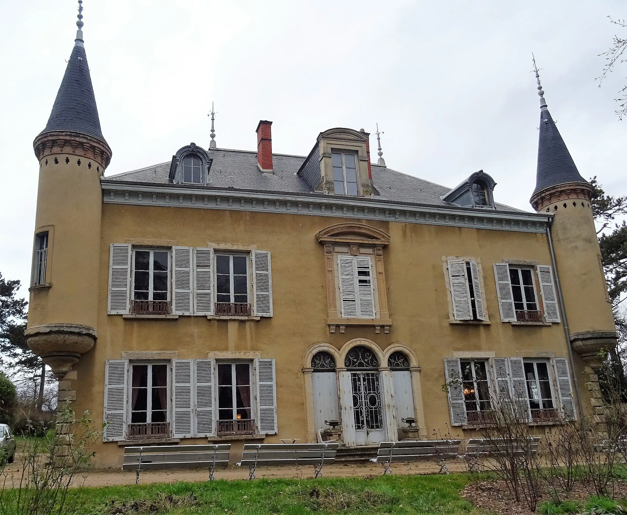
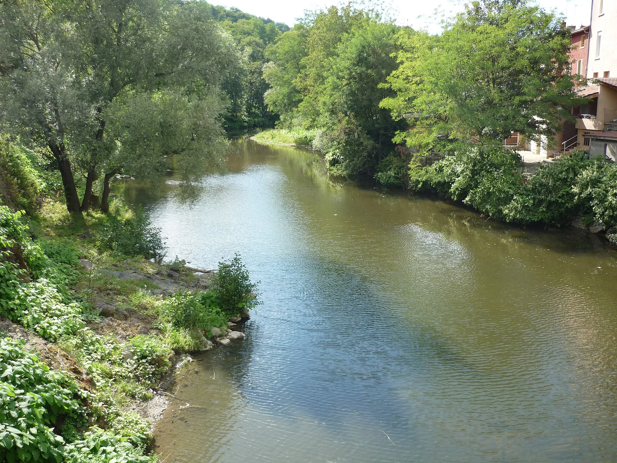
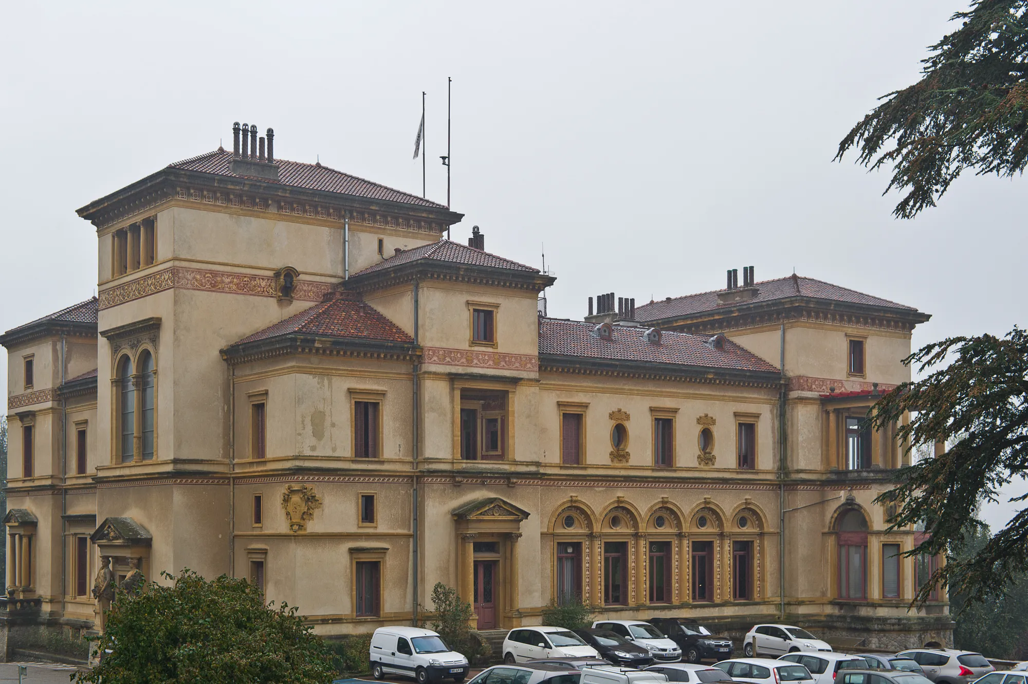
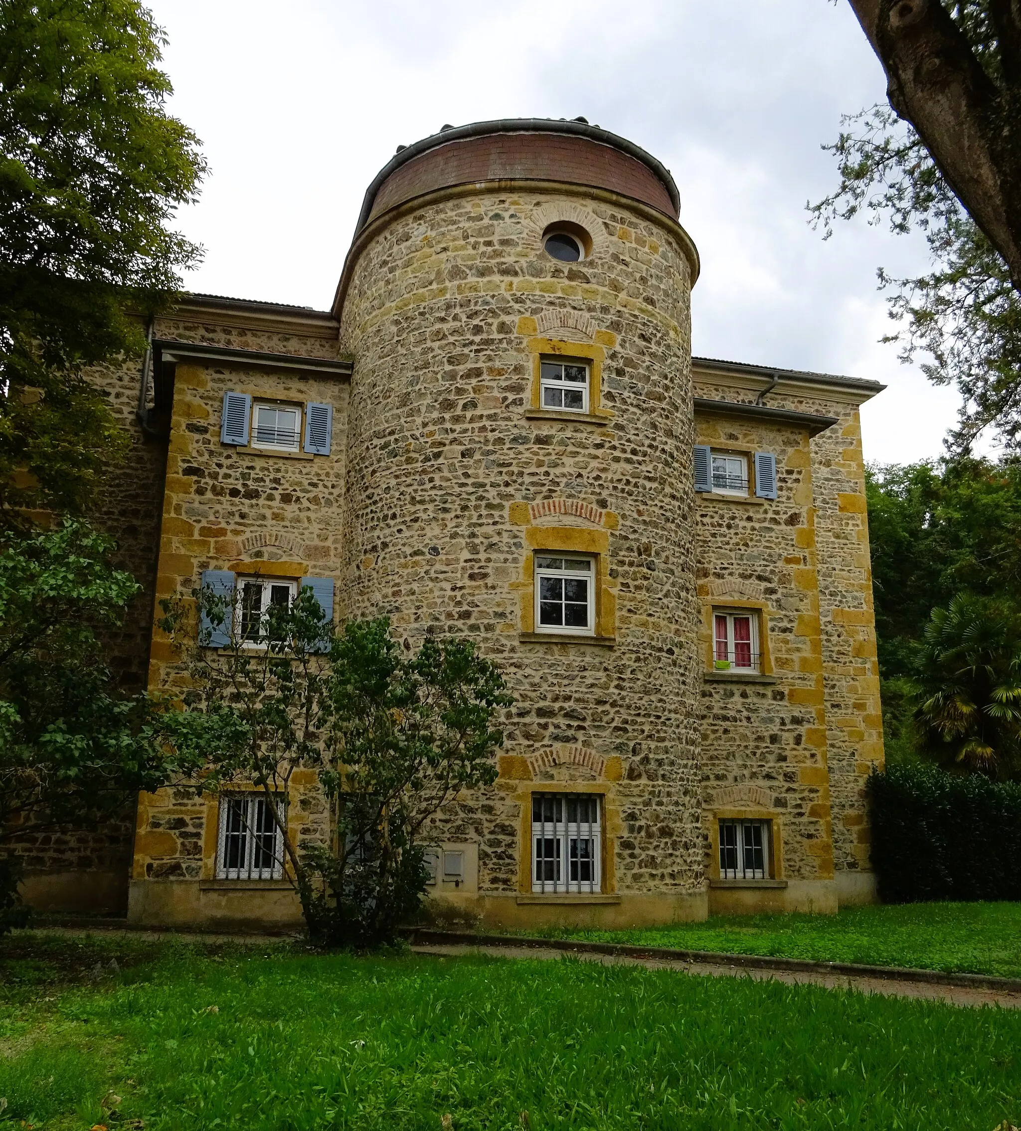
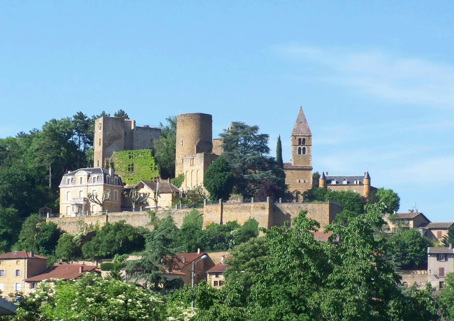
Rhône-Alpes boasts the picturesque locality of Lentilly, offering a fantastic cycling experience for both road and gravel cyclists. Surrounding the area are rolling hills and stunning vineyards, providing idyllic rides in the French countryside. Cyclists can take advantage of the well-maintained roads with minimal traffic to fully enjoy their biking adventures. Nearby, the revered Mont Salève climb attracts riders looking for a challenging ascent and panoramic views. Overall, Lentilly is a captivating cycling destination that offers a mix of tranquil routes and exhilarating climbs.
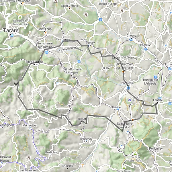
Montrottier Loop
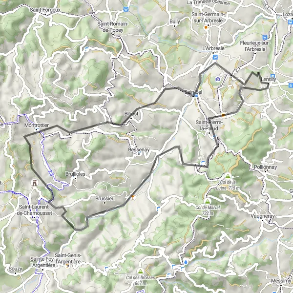
Cycling through beautiful countryside and small villages
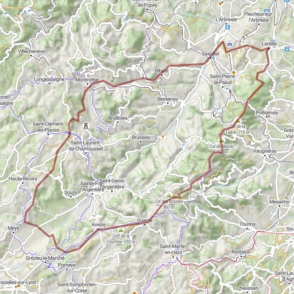
The Montrottier Loop is a scenic cycling route that takes you through the picturesque countryside near Lentilly. Along the way, you'll pass charming villages like Chevinay, Brussieu, and Montrottier, where you can stop to admire the local architecture and maybe even enjoy a coffee at a quaint café. The route features a total ascent of 1,211 meters and covers a distance of 56 kilometers, making it a moderately challenging ride suitable for well-trained amateurs. With its stunning natural landscapes and idyllic rural scenery, this route offers a memorable cycling experience for enthusiasts of all levels.
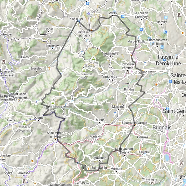
Conquer the challenging Col des Brosses on this epic road cycling route
The Col des Brosses Epic Ride is a road cycling route that offers a thrilling challenge for experienced cyclists. The highlight of the route is the famous Col des Brosses, a legendary climb known for its steep gradients and breathtaking views. Along the way, you'll pass through Craponne, Chaussan, Saint-Martin-en-Haut, Col des Brosses, Courzieu, and Lentilly. With a total ascent of 1,399 meters and covering a distance of 81 kilometers, this route is not for the faint-hearted. However, the sense of accomplishment and the stunning scenery make it a worthwhile adventure for those seeking a true cycling challenge.
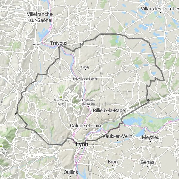
Enjoy a scenic road cycling adventure from Lentilly to Charbonnières-les-Bains.
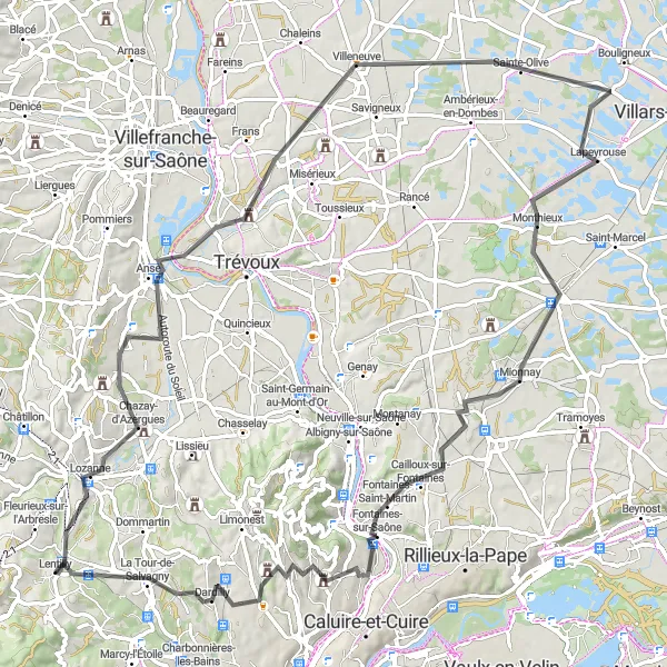
Embark on a road cycling adventure starting near Lentilly. This round-trip route covers a total distance of 95 kilometers and features a climb of 636 meters. Highlights along the route include Chazay-d'Azergues, Trévoux, the Panorama de la Terrasse viewpoint, Monthieux, Beynost, Villeurbanne, Esplanade, and Charbonnières-les-Bains. Suitable for road bikes, this route offers beautiful countryside views, charming villages, and opportunities to immerse yourself in the local culture.
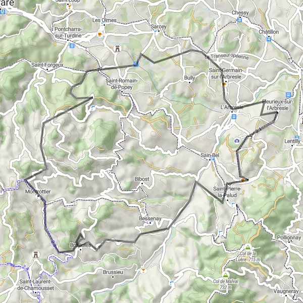
Palud and Bibost Circuit
An exhilarating road cycling route that takes you through beautiful villages
Experience the charm of rural France as you ride through the picturesque villages of Saint-Pierre-la-Palud, Saint-Julien-sur-Bibost, Chavagny, Saint-Forgeux, and L'Arbresle. This 56km route offers a great mix of terrain, with challenging climbs and thrilling descents. Suitable for intermediate to experienced cyclists.
Arbresle and Beyond
Discover the beauty of the Arbresle region and its charming villages
The Arbresle and Beyond route is a road cycling tour that takes you through the scenic Arbresle region, allowing you to discover the idyllic countryside and charming villages along the way. The route includes highlights such as Éveux, Saint-Pierre-la-Palud, Bessenay, Brullioles, Crêt Pélerat, Saint-Germain-sur-l'Arbresle, and Fleurieux-sur-l'Arbresle. With a total ascent of 1,094 meters and covering a distance of 59 kilometers, this route offers a moderate challenge for well-trained amateur cyclists, rewarded with breathtaking views and rural charm.
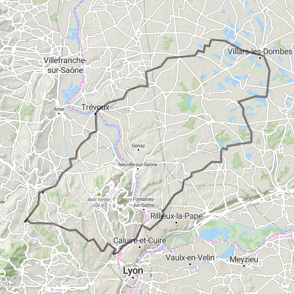
Discover the beautiful landscapes around Lyon
Embark on an epic 102km road cycling journey that takes you through the stunning countryside around Lyon. Ride through the charming villages of Lozanne, Panorama de la Terrasse, Toussieux, Villars-les-Dombes, Tramoyes, Caluire-et-Cuire, Le Belvédère et les lanternes de l'île Barbe, and Dardilly. Experience breathtaking views and diverse terrain on this scenic route.
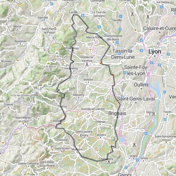
Conquer the mountain roads and experience the thrill of the climb
Prepare yourself for a challenging road cycling adventure as you tackle the climbs of Saint-Genis-les-Ollières, Brignais, Mornant, Crêt du Bouchat, Saint-Laurent-de-Vaux, and Lentilly. This 74km route offers stunning mountain vistas and a true test of endurance for experienced cyclists.
Charbonnières-les-Bains Loop
Explore the outskirts of Lyon and enjoy scenic views
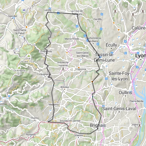
The Charbonnières-les-Bains Loop is a road cycling route that takes you through the outskirts of Lyon, offering stunning views of the surrounding countryside. The route includes highlights such as Charbonnières-les-Bains, Brignais, Messimy, Pollionnay, and Lentilly. With a total ascent of 763 meters and a distance of 53 kilometers, this route provides a moderate challenge for well-trained amateur cyclists. Enjoy the peacefulness of the countryside, the fresh air, and the panoramic views as you pedal your way through this picturesque part of Rhône-Alpes.
Embark on a thrilling gravel adventure starting from Lentilly and enjoy the scenic beauty of the rural countryside.
This round-trip cycling route is perfect for gravel bike enthusiasts. With an ascent of 1753 meters and a distance of 71 kilometers, it offers a challenging and exciting adventure. Starting from Lentilly, the route takes you through diverse landscapes and highlights include the picturesque village of Marmottes, the scenic Col des Brosses, and the historical Les Halles. Prepare for an epic gravel biking experience in the Rhône-Alpes region of France.
Cycling through scenic villages and beautiful countryside in the Rhône-Alpes region of France.
This round-trip cycling route starts near Lentilly and takes you through picturesque villages and stunning countryside. The route features a total ascent of 698 meters and covers a distance of 94 kilometers. It is suitable for road bikes. Highlights along the route include Chazay-d'Azergues, Saint-Didier-de-Formans, Sainte-Olive, Saint-André-de-Corcy, Collonges-au-Mont-d'Or, Mont Cindre, and Dardilly.
Cycling routes nearby:


Nearby regions: