Mountain Challenge
A road cycling route starting from Lentilly
Conquer the mountain roads and experience the thrill of the climb
Map
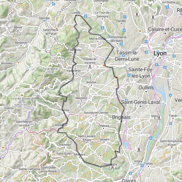
Prepare yourself for a challenging road cycling adventure as you tackle the climbs of Saint-Genis-les-Ollières, Brignais, Mornant, Crêt du Bouchat, Saint-Laurent-de-Vaux, and Lentilly. This 74km route offers stunning mountain vistas and a true test of endurance for experienced cyclists.
road
74 km
1351 m
Savage
Route profile
Highlights on the route
0 km
0 km
Start: Lentilly Village centerLentilly: An idyllic cycling getaway with access to the renowned Mont Salève climb.
Rhône-Alpes boasts the picturesque locality of Lentilly, offering a fantastic cycling experience for both road and gravel cyclists. Surrounding the area are rolling hills and stunning vineyards, providing idyllic rides in the French countryside. Cyclists can take advantage of the well-maintained roads with minimal traffic to fully enjoy their biking adventures. Nearby, the revered Mont Salève climb attracts riders looking for a challenging ascent and panoramic views. Overall, Lentilly is a captivating cycling destination that offers a mix of tranquil routes and exhilarating climbs.11 km
11 km
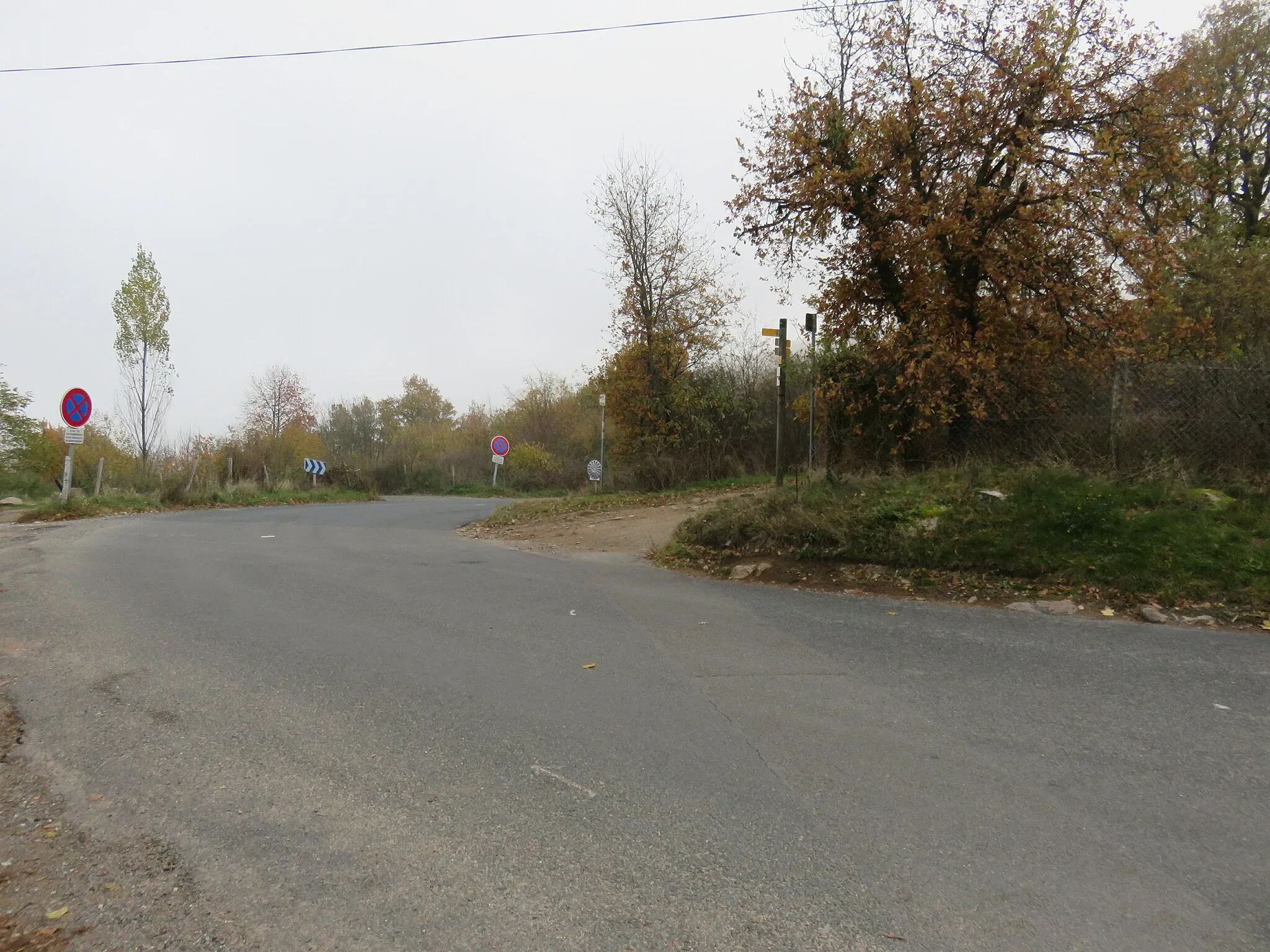
Saint-Genis-les-OllièresVillageClimb the challenging slopes of Saint-Genis-les-Ollières and enjoy panoramic views of Lyon and the surrounding valleys.
23 km
23 km
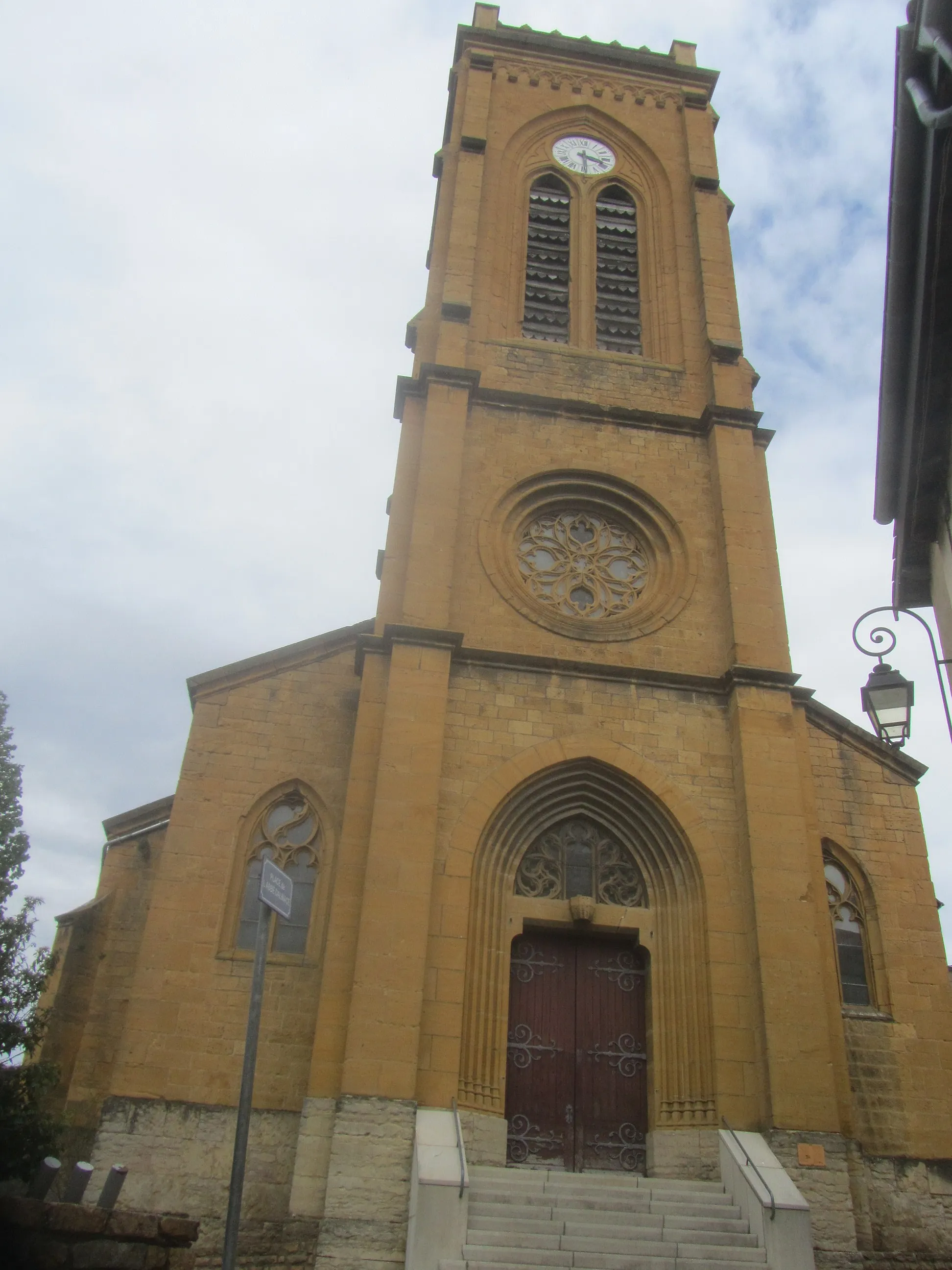
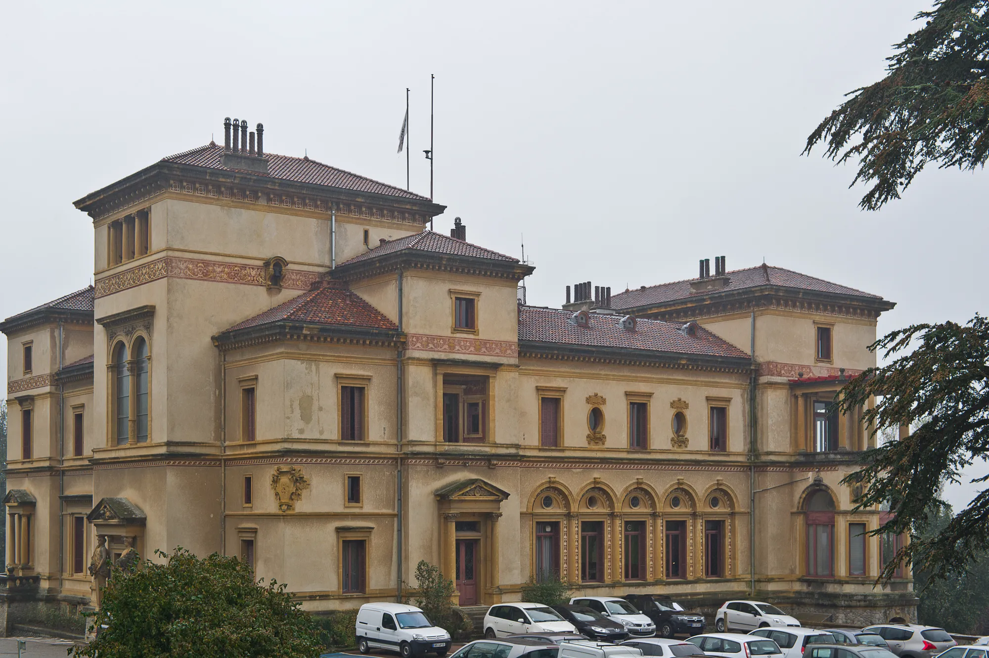
BrignaisTownPass through the charming town of Brignais, known for its beautiful medieval architecture and vibrant market.
39 km
39 km
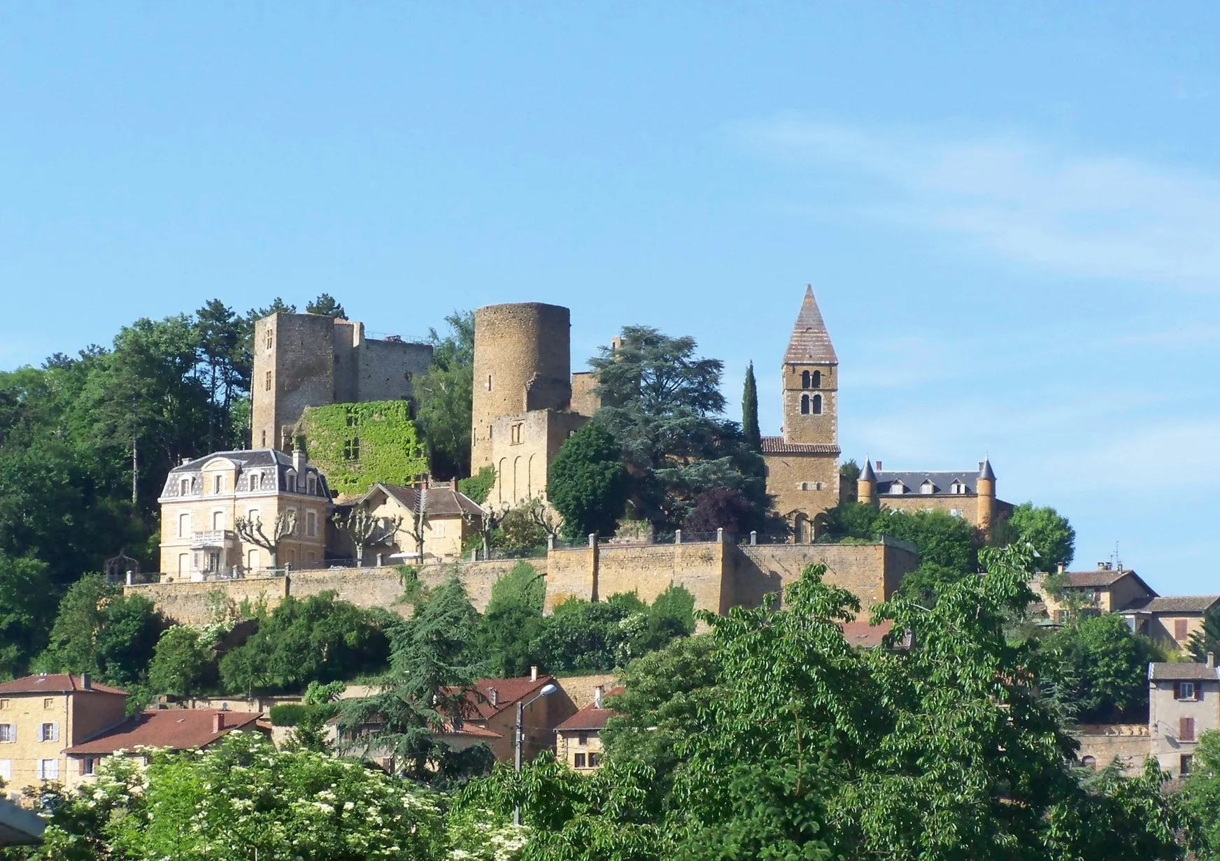
MornantVillageAscend to the summit of Mornant, a renowned climb in the Rhône-Alpes region that will put your climbing skills to the test.
43 km
43 km
Crêt du Bouchat586 mPeakConquer the steep slopes of Crêt du Bouchat and be rewarded with breathtaking views of the surrounding mountains.
57 km
57 km
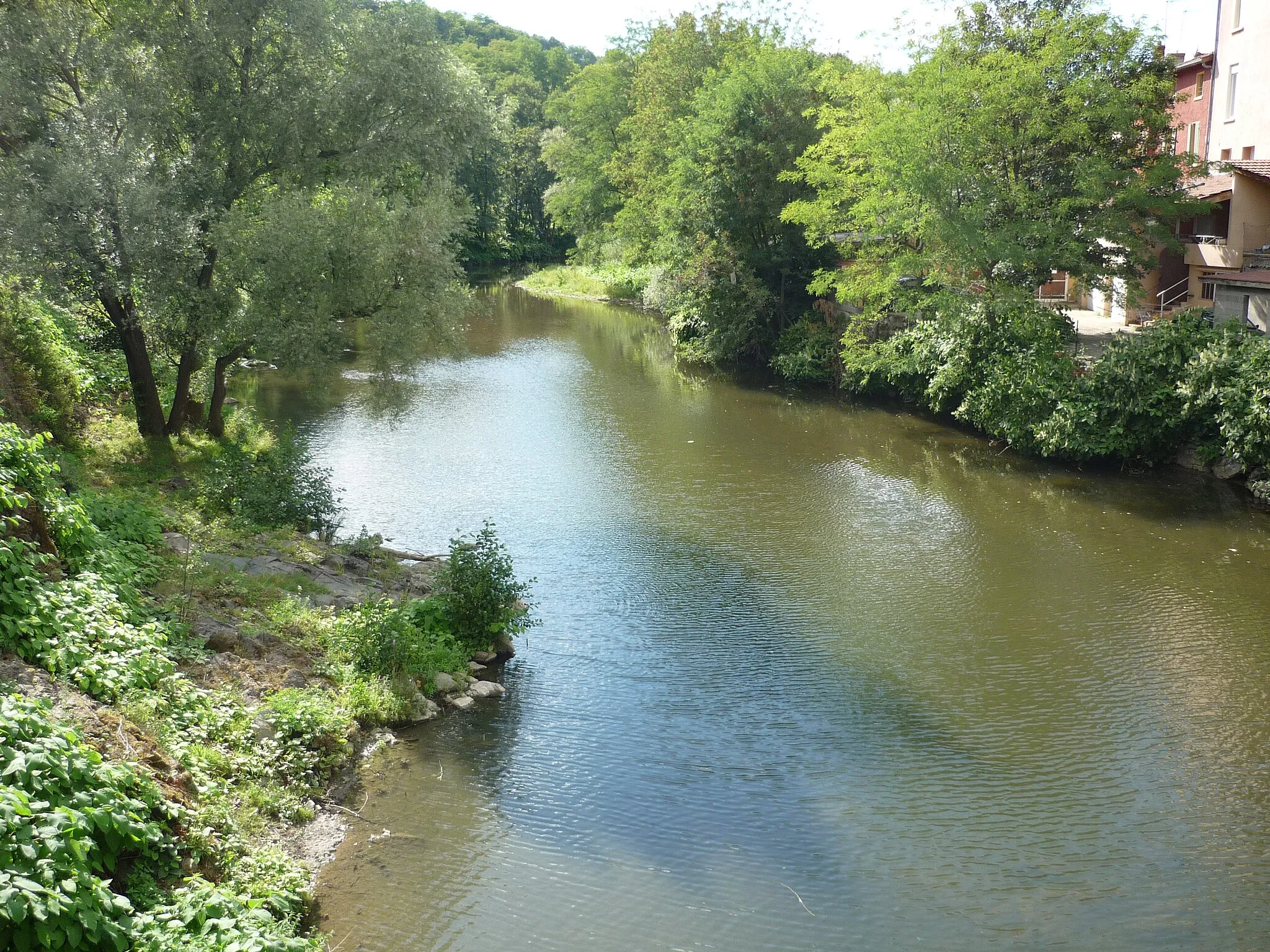
Saint-Laurent-de-VauxVillageExplore the idyllic village of Saint-Laurent-de-Vaux, surrounded by beautiful forests and blooming wildflowers.
74 km
74 km
LentillyVillageFinish the route in Lentilly, a stunning town nestled in the Monts du Lyonnais with charming streets and historic buildings.
74 km
74 km
Finish: Lentilly Village centerLentilly: An idyllic cycling getaway with access to the renowned Mont Salève climb.
Cycling routes from Lentilly:
Mountain Challenge Col des Brosses Epic Ride Gravel Adventure to Col de la Luère Scenic Tour de Lyon Palud and Bibost Circuit Gravel Loop: From Lentilly to La Tour-de-Salvagny Montrottier Loop Gravel Adventure in Popey Charbonnières-les-Bains Loop Arbresle and Beyond Chazay-d'Azergues to Dardilly Loop Lentilly to Charbonnières-les-Bains Road Loop Lentilly Gravel Adventure
Cycling routes nearby: