Les Houches Gravel Mountain Challenge
A gravel cycling route starting from Les Houches
Conquer relentless gravel climbs and descents on this mountain challenge starting near Les Houches.
Map
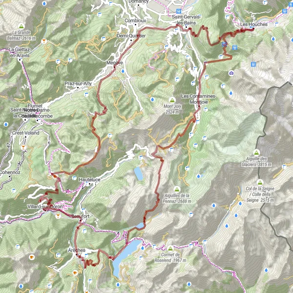
With a total ascent of 5546m and a distance of 124km, this gravel route is not for the faint-hearted. The stunning highlights along the route include Col de Voza and Maison forte de Hautetour.
gravel
124 km
5546 m
Savage
Route profile
Highlights on the route
0 km
0 km
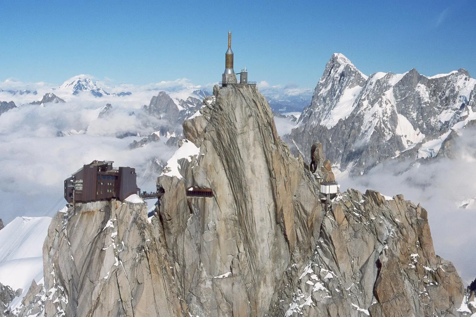
Start: Les Houches Village centerLes Houches: Cycling Paradise in the Heart of the French Alps
Les Houches, located in the Rhône-Alpes region of France, is a popular cycling destination with its stunning alpine landscapes and challenging mountain climbs. From a cyclist's perspective, Les Houches is surrounded by the iconic peaks of the French Alps, making it a haven for road and gravel cyclists. Famous cycling climbs like Mont Blanc and Col de Romme are in close proximity, attracting professional riders and cycling enthusiasts from around the world. The locality itself offers a variety of well-maintained roads and trails, catering to all levels of cyclists. With a vibrant cycling community and breathtaking scenery, Les Houches is a must-visit for any cyclist seeking adventure in the mountains.6 km
6 km
Col de Voza1650 mMountain PassCol de Voza is a challenging gravel climb that rewards you with stunning views of the surrounding mountains.
16 km
16 km
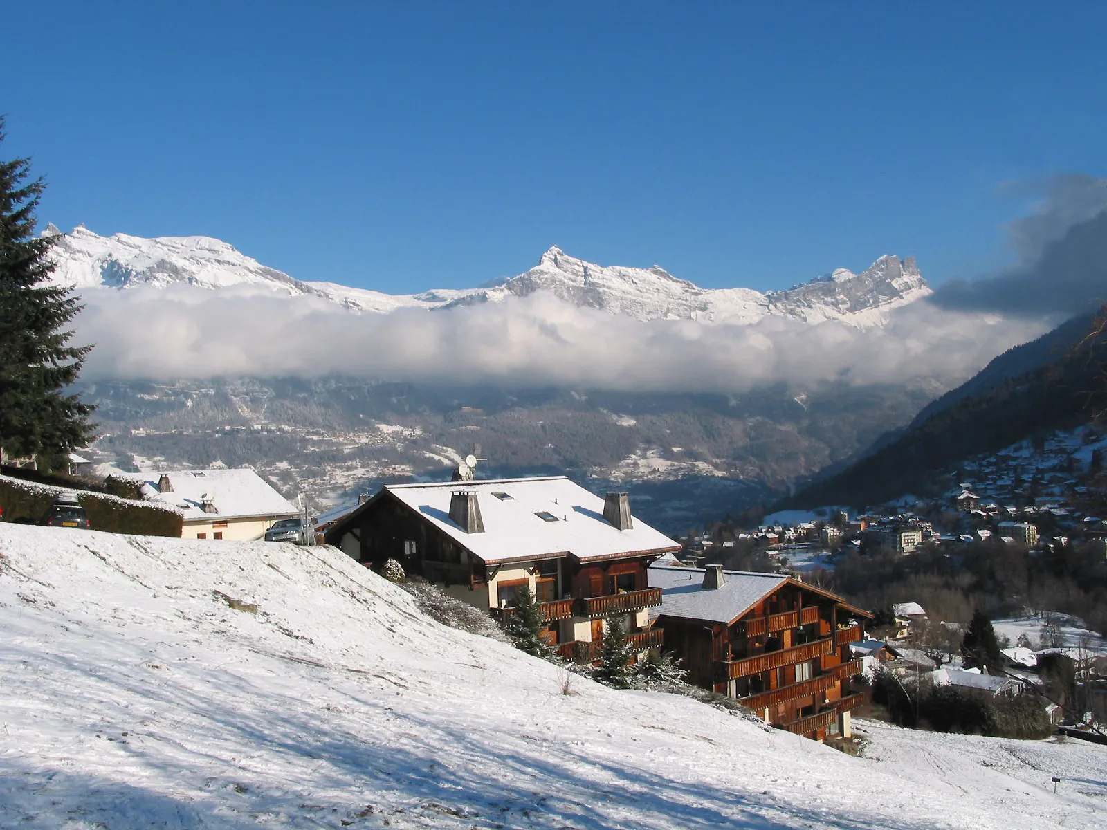
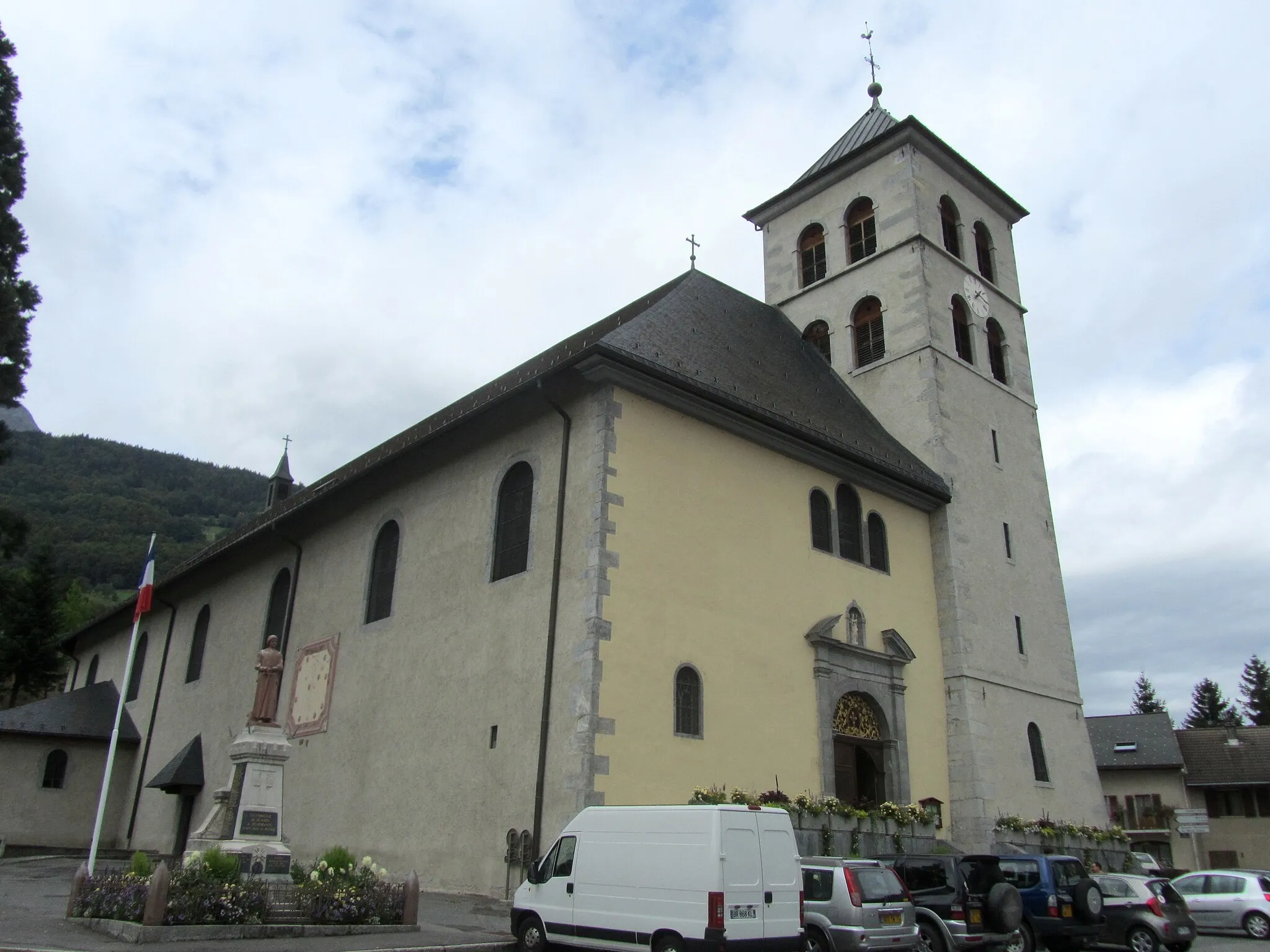
Les Contamines-MontjoieVillageLes Contamines-Montjoie is a picturesque village nestled in the heart of the French Alps.
24 km
24 km
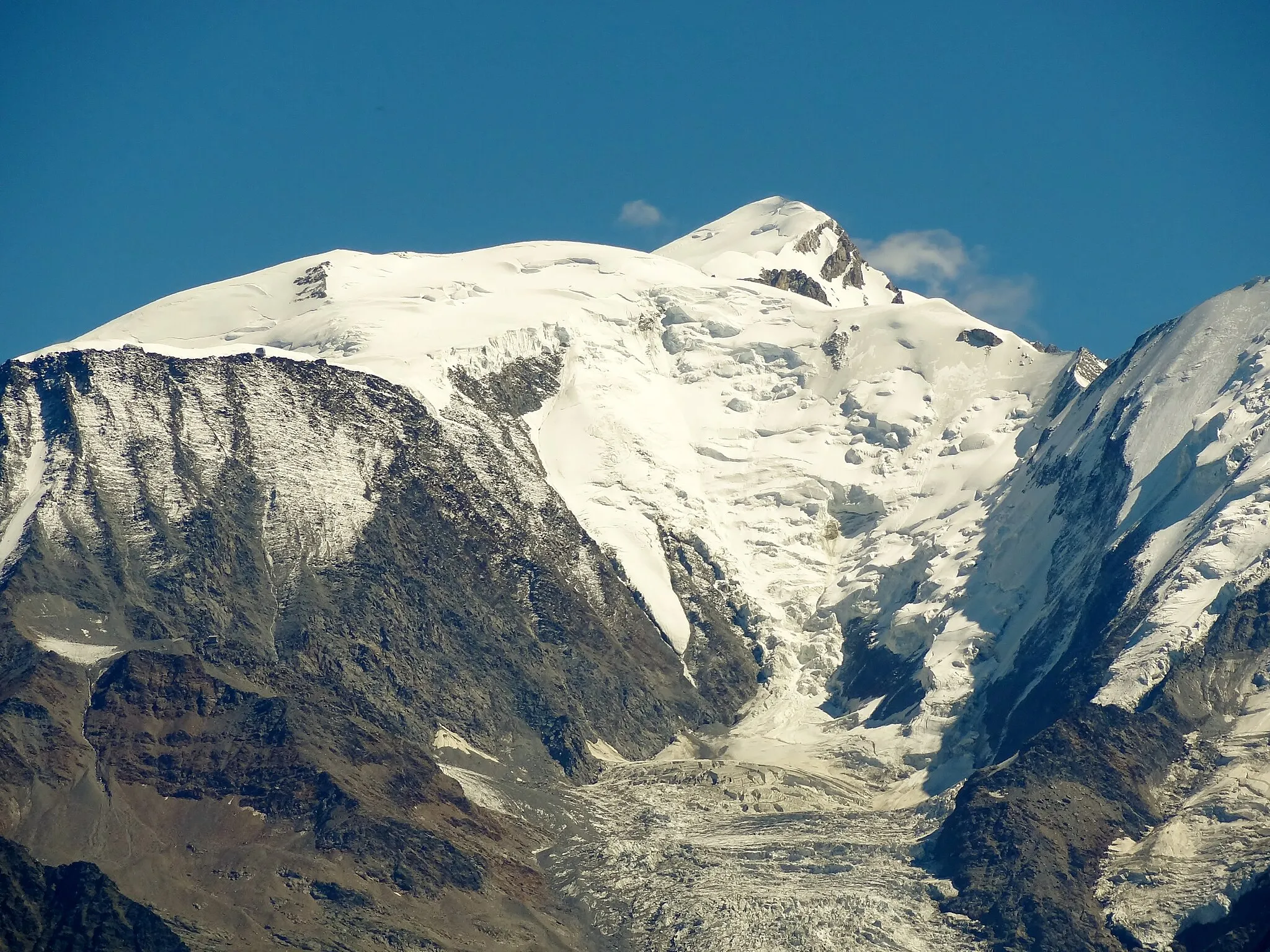
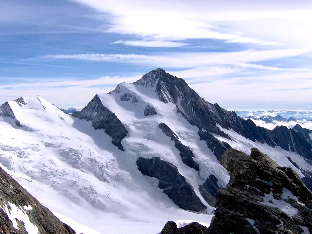
Col du Joly1989 mMountain PassCol du Joly is a challenging mountain pass with breathtaking panoramic views at the summit.
34 km
34 km
La GittazHamletLa Gittaz is a small Alpine village known for its traditional wooden chalets and beautiful landscapes.
42 km
42 km
Col du Méraillet1605 mMountain PassCol du Méraillet is a hidden gem, offering a peaceful and scenic route through alpine meadows.
56 km
56 km
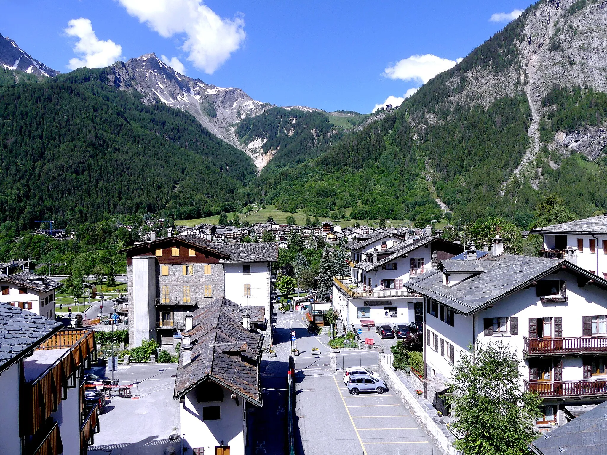
ArêchesVillageArêches is a charming mountain village, ideal for a rest stop and to explore the local culture.
65 km
65 km
Villard-sur-DoronVillageVillard-sur-Doron is a quaint village with traditional architecture, offering a peaceful atmosphere.
80 km
80 km
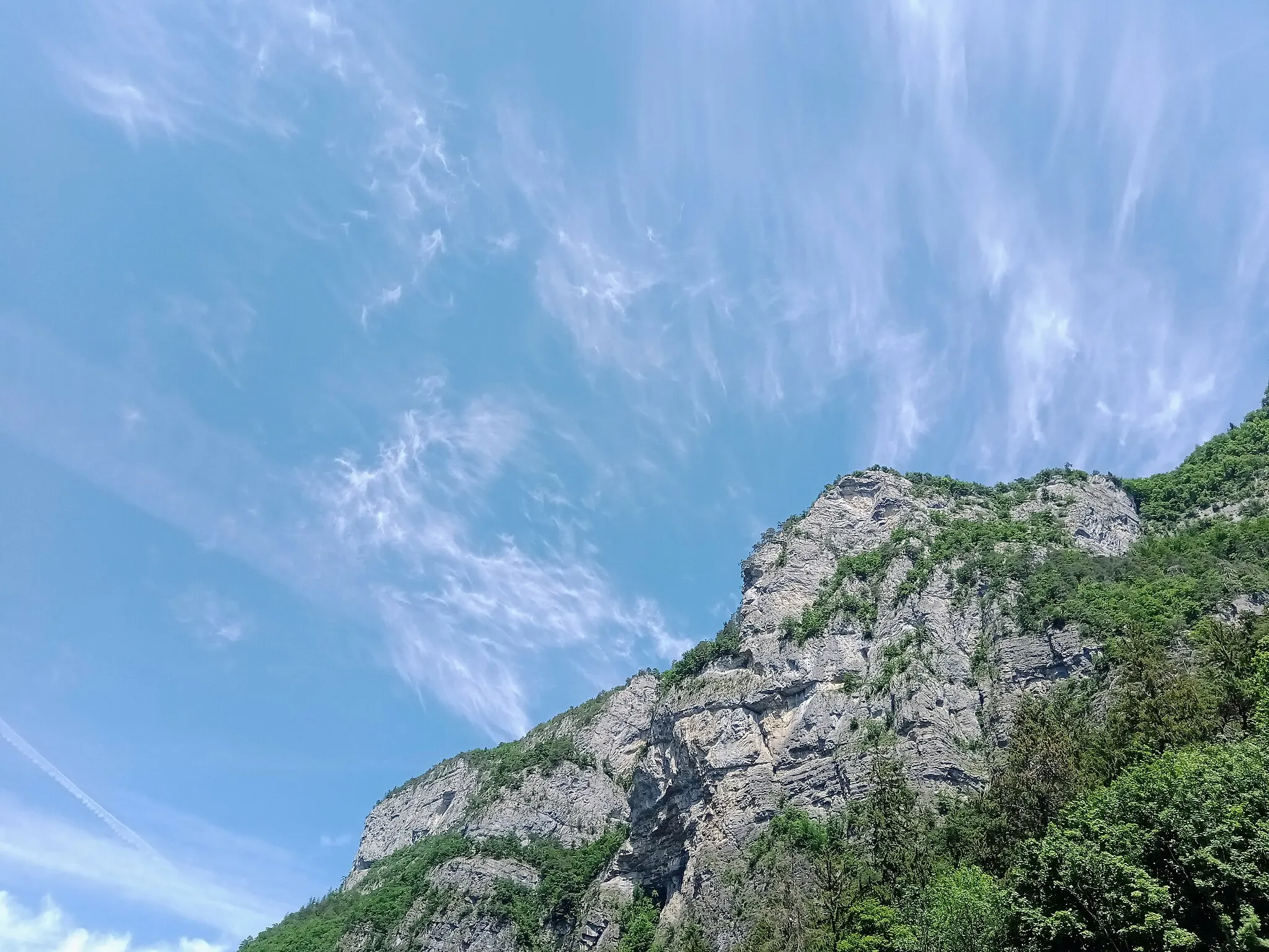
La Légette1865 mPeakLa Légette is a pristine alpine sanctuary known for its tranquility and stunning nature.
88 km
88 km
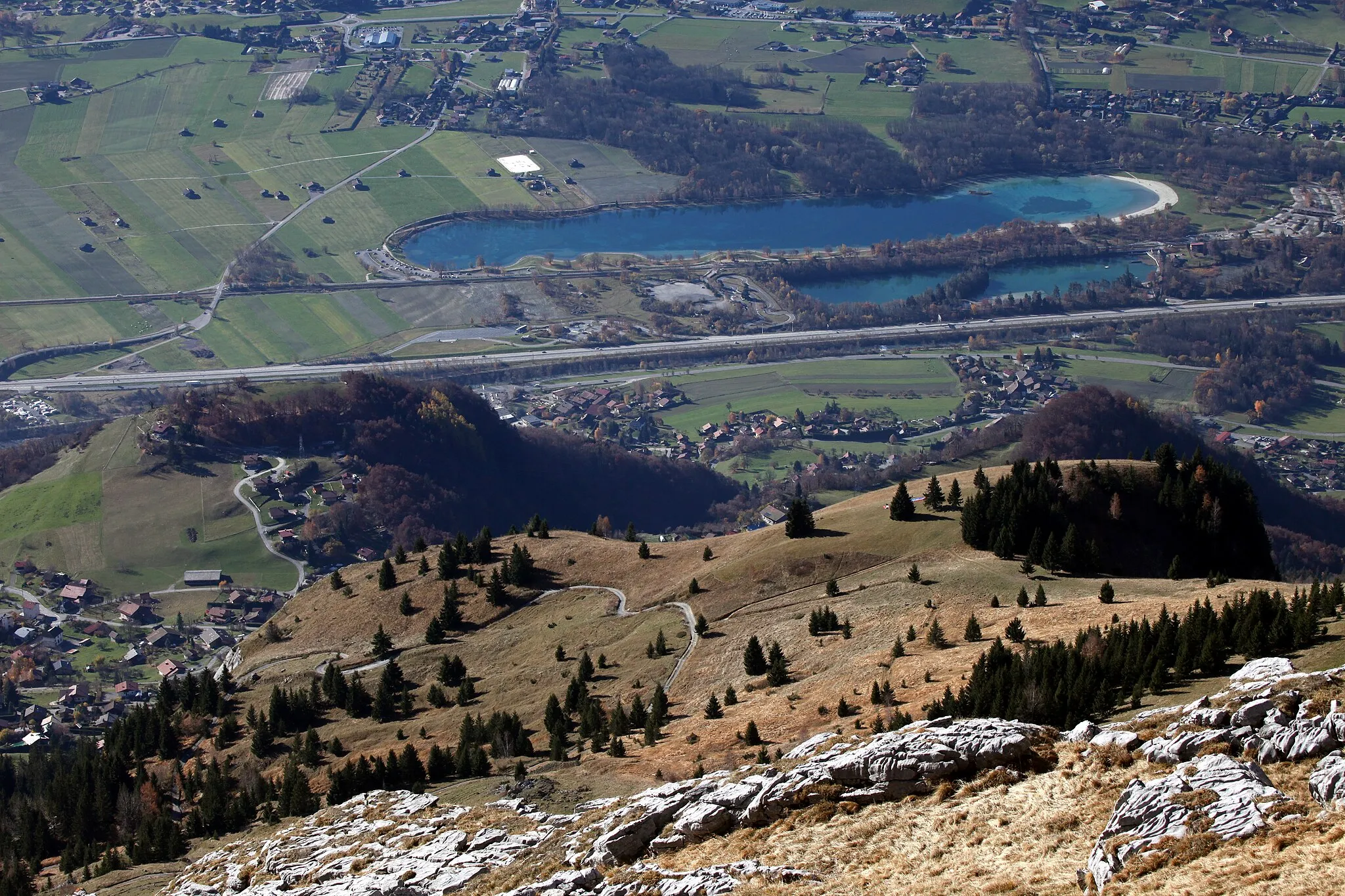
Ban Rouge1982 mPeakBan Rouge is a tranquil mountain lake where you can relax and enjoy the surrounding nature.
98 km
98 km
MegèveVillageMegève is a renowned ski resort town, offering a wide range of amenities for visitors.
110 km
110 km
Maison forte de HautetourCastleMaison forte de Hautetour is a well-preserved medieval castle with a fascinating history.
118 km
118 km
Tête de la Charme1870 mPeakTête de la Charme is the highest point of this challenging route, offering breathtaking views.
124 km
124 km
Finish: Les Houches Village centerLes Houches: Cycling Paradise in the Heart of the French Alps
Cycling routes from Les Houches:
Les Houches Gravel Alpine Adventure Les Houches Gravel Adventure Scenic Road Loop via Servoz and Aravis Mountains Les Houches Gravel Mountain Challenge Les Houches Road Challenge Les Houches Epic Road Tour Les Houches Gravel Loop Passy and Aravis Mountain Road Adventure Rhône-Alpes Road Cycling Adventure Chedde and Megeve Road Circuit
Cycling routes nearby: