Givors to Saint-Laurent-d'Agny
A road cycling route starting from Millery
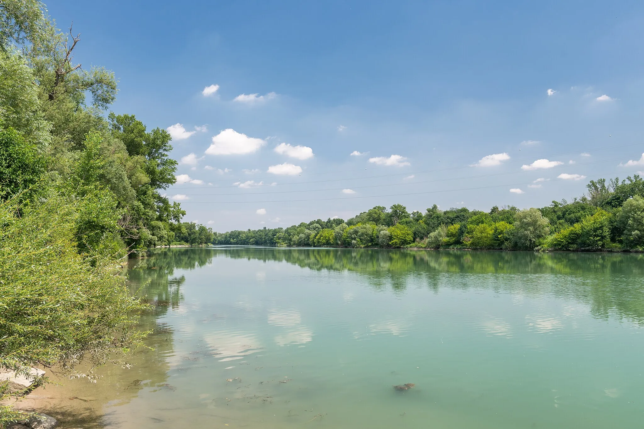
Exploring nature from Givors to Saint-Laurent-d'Agny
Map
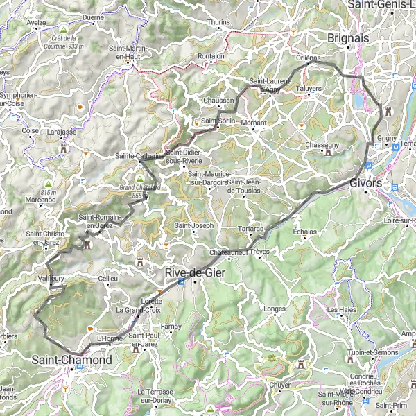
Embark on a scenic journey through the natural beauty of Givors and Saint-Laurent-d'Agny. With a distance of 84km and an ascent of 1323m, this road cycling route is suitable for experienced cyclists looking for an adventurous trail. Along the way, you'll pass by several highlights, including Lorette, a town famous for its pilgrimage site, and the Table d'orientation in Saint-Romain-en-Jarez, offering panoramic views of the surrounding landscapes.
road
84 km
1323 m
Savage
Route profile
Highlights on the route
0 km
0 km
Start: Millery Village centerMillery: Pedal through scenic vineyards and charming villages in Millery, France.
Millery, located in the Rhône-Alpes region of France, offers a diverse range of cycling routes suitable for all levels. Cyclists can explore the scenic countryside and pedal their way through charming vineyards and picturesque villages. The area provides access to popular cycling routes, including the Route des Crêtes and the Mont du Parmelan, which are known for their challenging climbs and breathtaking views. Millery is a great base for cyclists to discover the natural beauty and cultural heritage of the Rhône-Alpes region.6 km
6 km
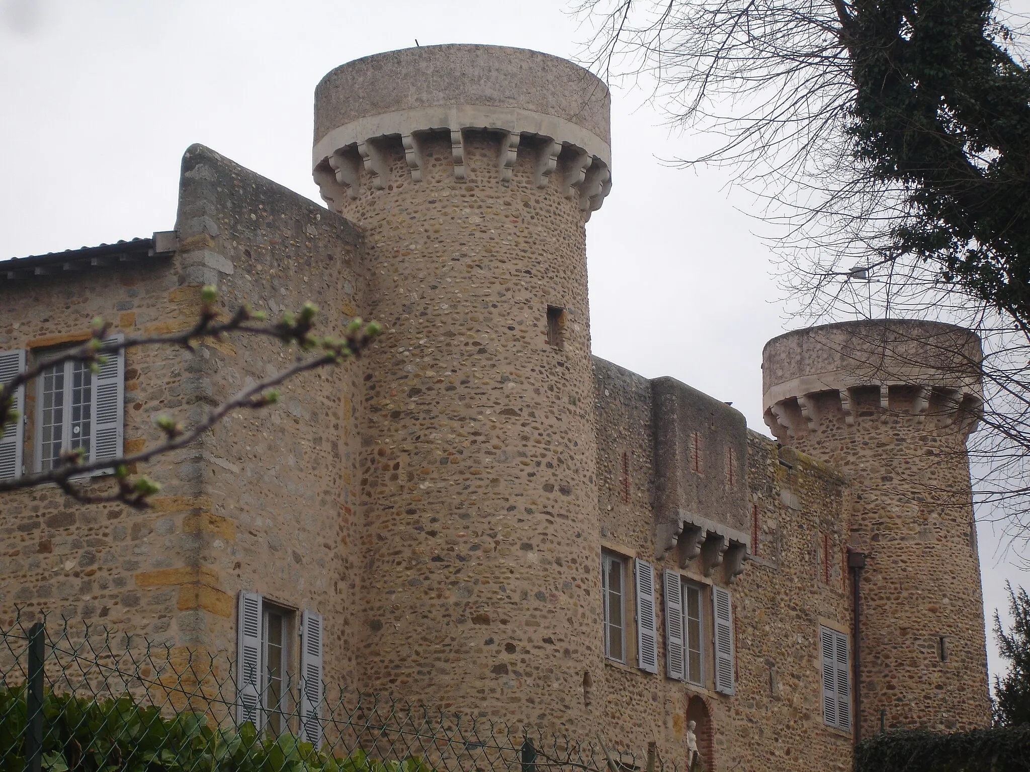
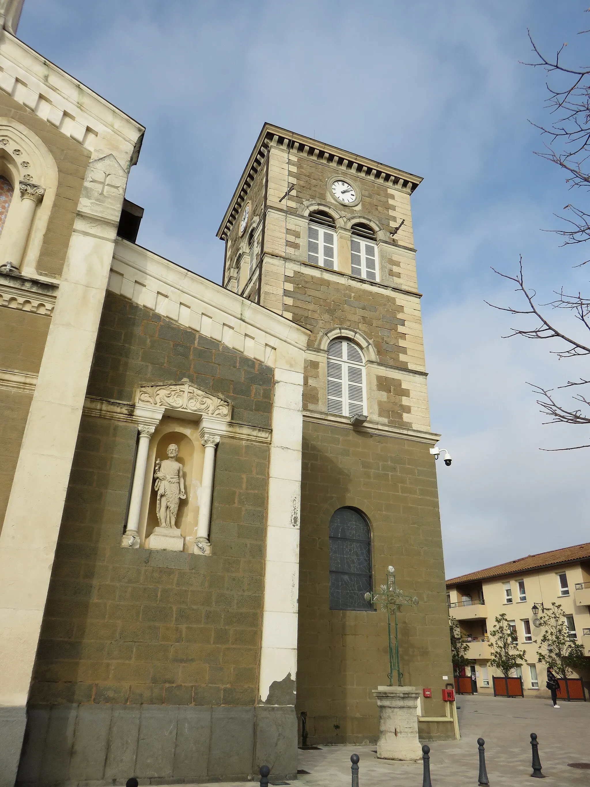
GivorsTownStop by Givors and soak in its stunning riverside views and picturesque streets.
24 km
24 km
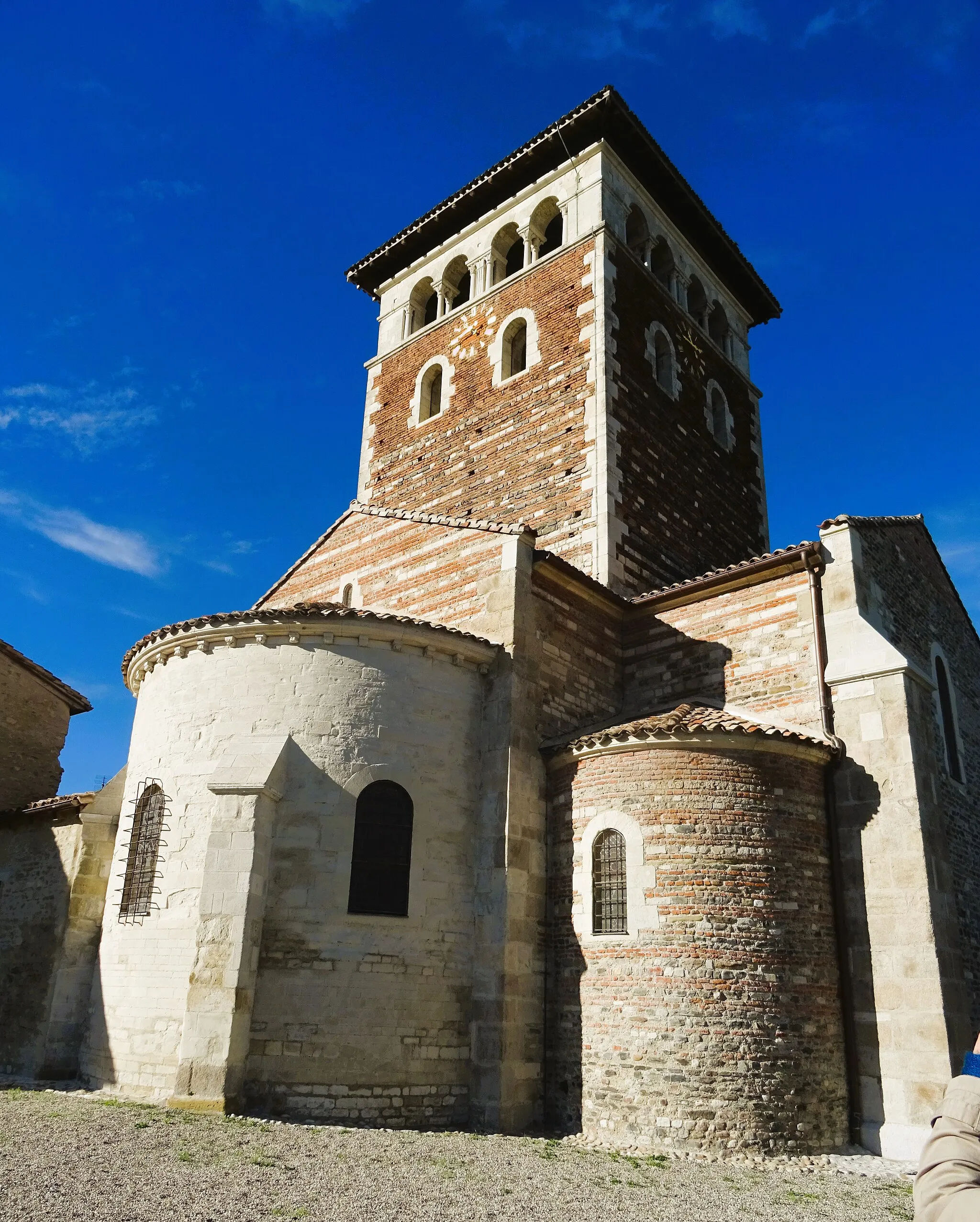
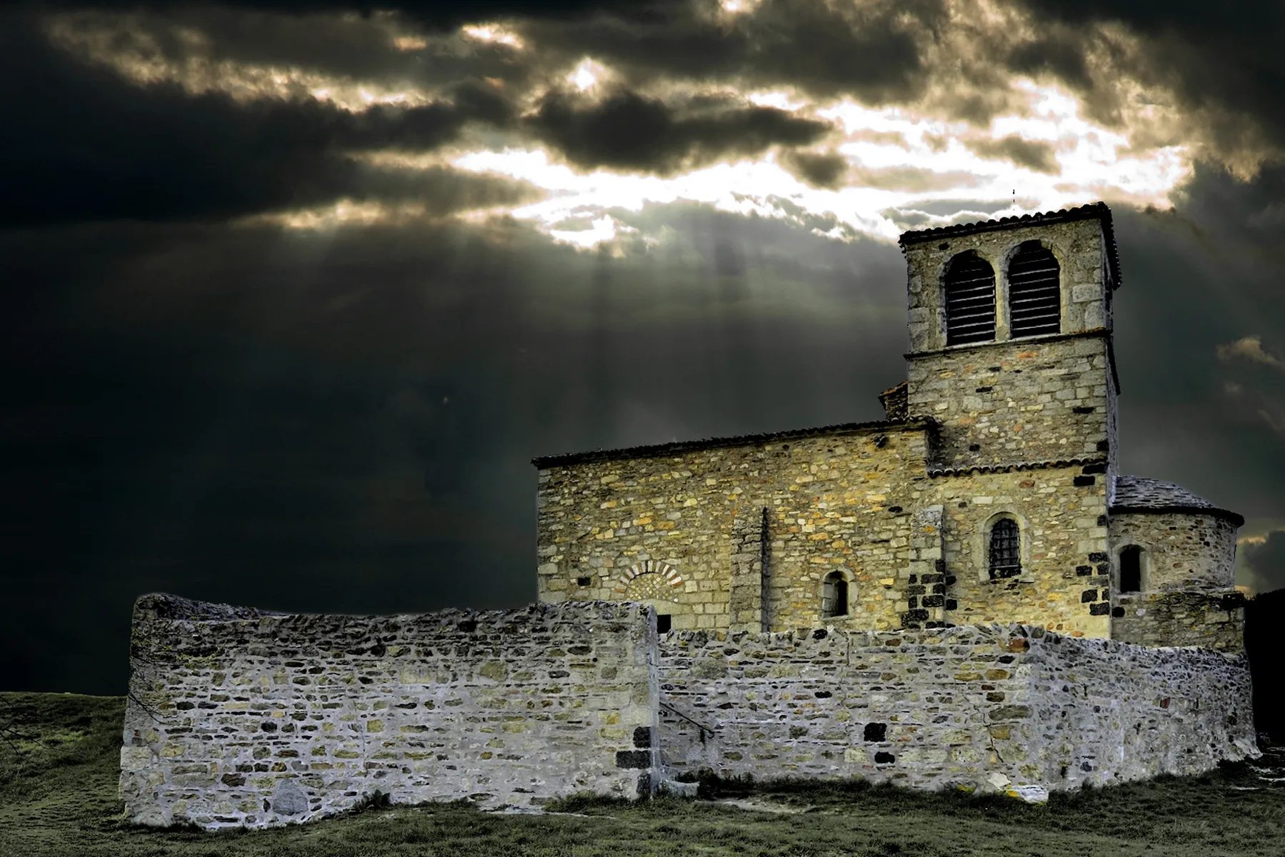
LoretteVillageVisit the mountain town of Lorette, famous for its pilgrimage site and beautiful landscapes.
32 km
32 km
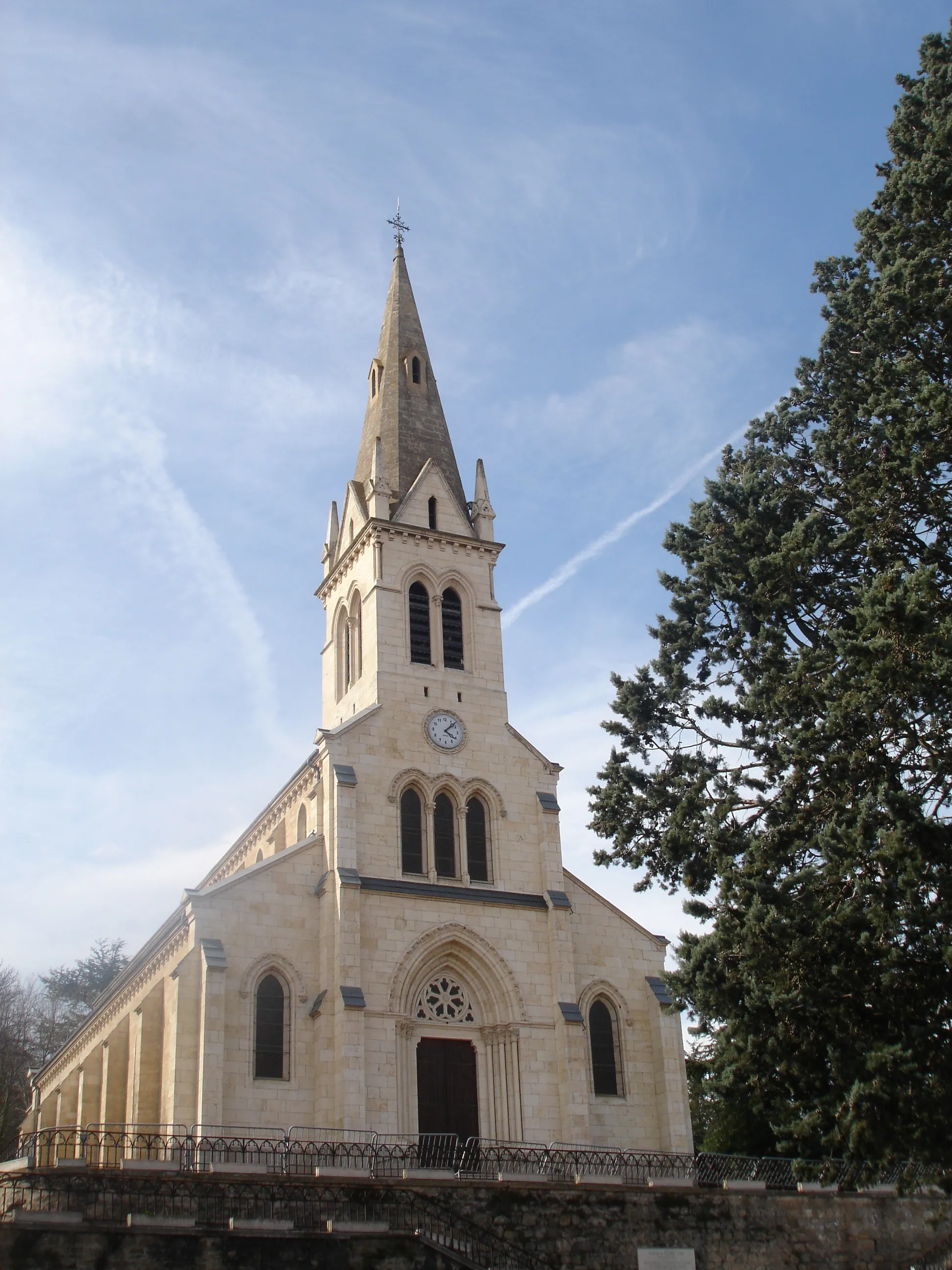
Saint-ChamondTownCycle through the scenic town of Saint-Chamond and admire its charming architecture and vibrant atmosphere.
39 km
39 km
Crêt Saint-Georges817 mPeakPass by Crêt Saint-Georges, a popular hiking spot known for its breathtaking views of the Rhône-Alpes region.
49 km
49 km
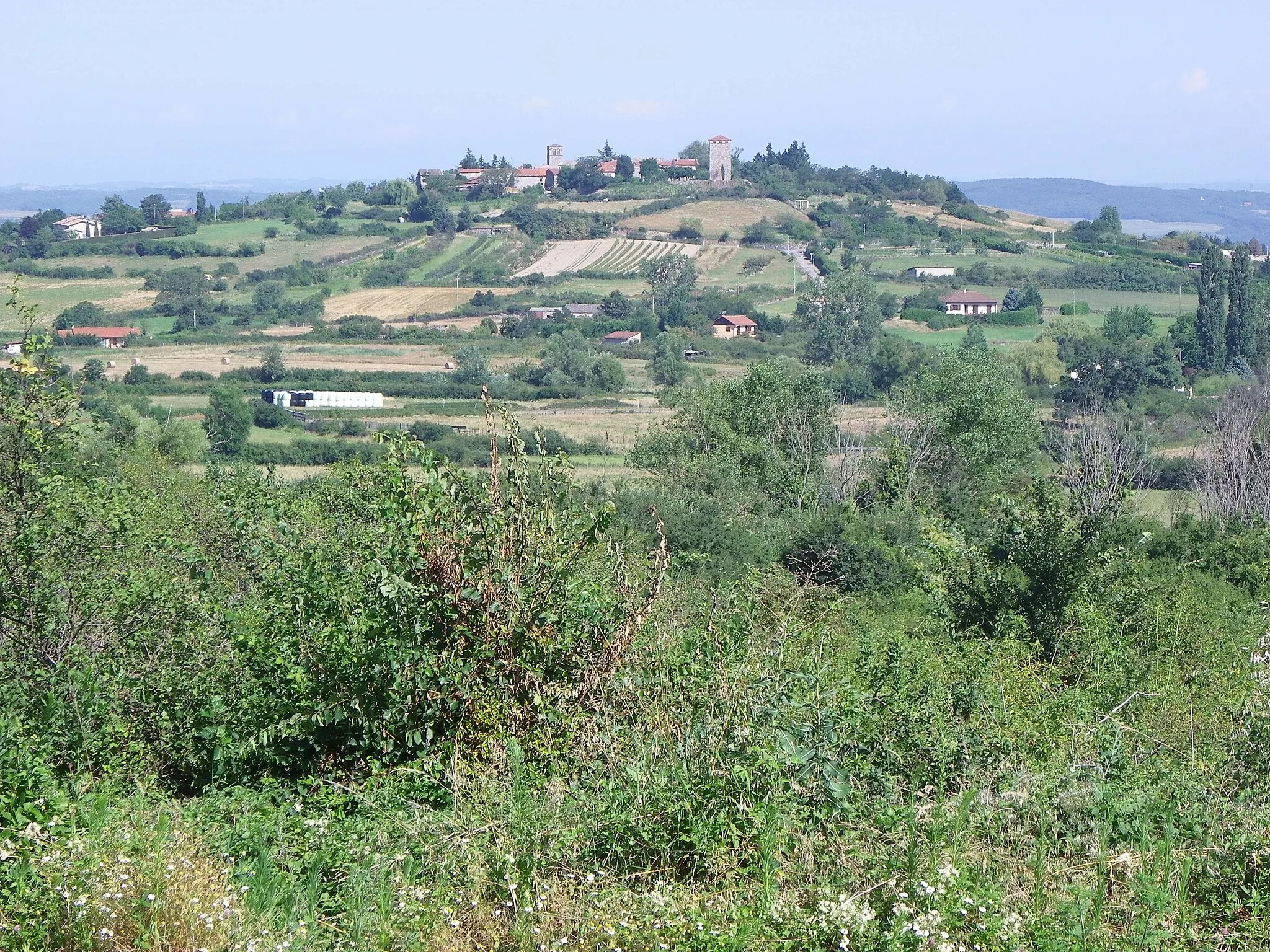
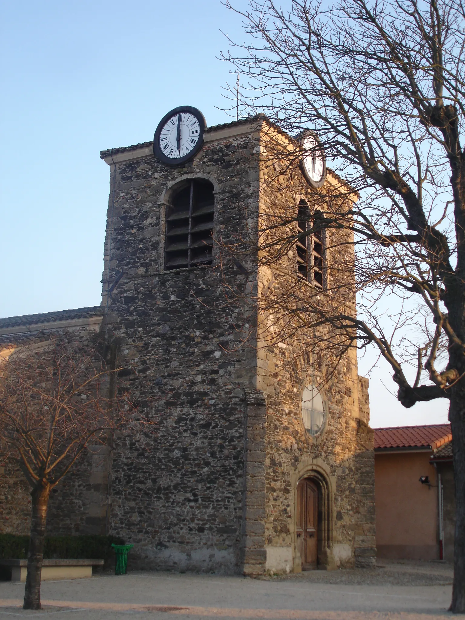
Saint-Romain-en-JarezVillageDiscover the Table d'orientation in Saint-Romain-en-Jarez and admire its panoramic views of the stunning countryside.
61 km
61 km
Table d'orientationViewpointStop by the historic village of Saint-Laurent-d'Agny and learn about its rich cultural heritage and traditional way of life.
73 km
73 km
Saint-Laurent-d'AgnyVillageExplore the town of Saint-Laurent-d'Agny and immerse yourself in its rural charm and natural beauty.
84 km
84 km
Finish: Millery Village centerMillery: Pedal through scenic vineyards and charming villages in Millery, France.
Cycling routes from Millery:
Vernaison to Charly Challenging Mountain Gravel Expedition Givors to Saint-Laurent-d'Agny Idyllic Countryside Road Loop Picturesque Countryside Road Tour Oullins to Vernaison Francheville to Millery Ultimate Hill Climbing Challenge Saint-Genis-Laval to Vernaison Scenic Millery Gravel Loop Vernaison to Givors Cycling Route Brignais to Taluyers Gravel Route Chassagny to Taluyers Gravel Route Charly to Saint-Genis-Laval Cycling Route Millery Gravel Adventure
Cycling routes nearby: