Les Échelles Loop
A road cycling route starting from Miribel-les-Echelles
Discover the historic town of Les Échelles and conquer challenging climbs
Map
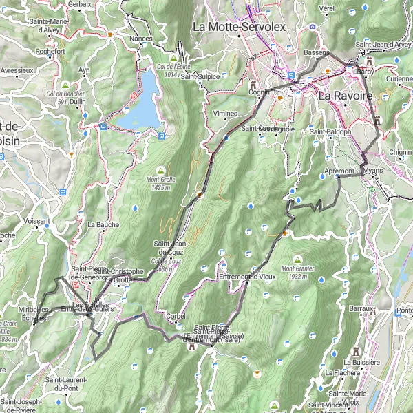
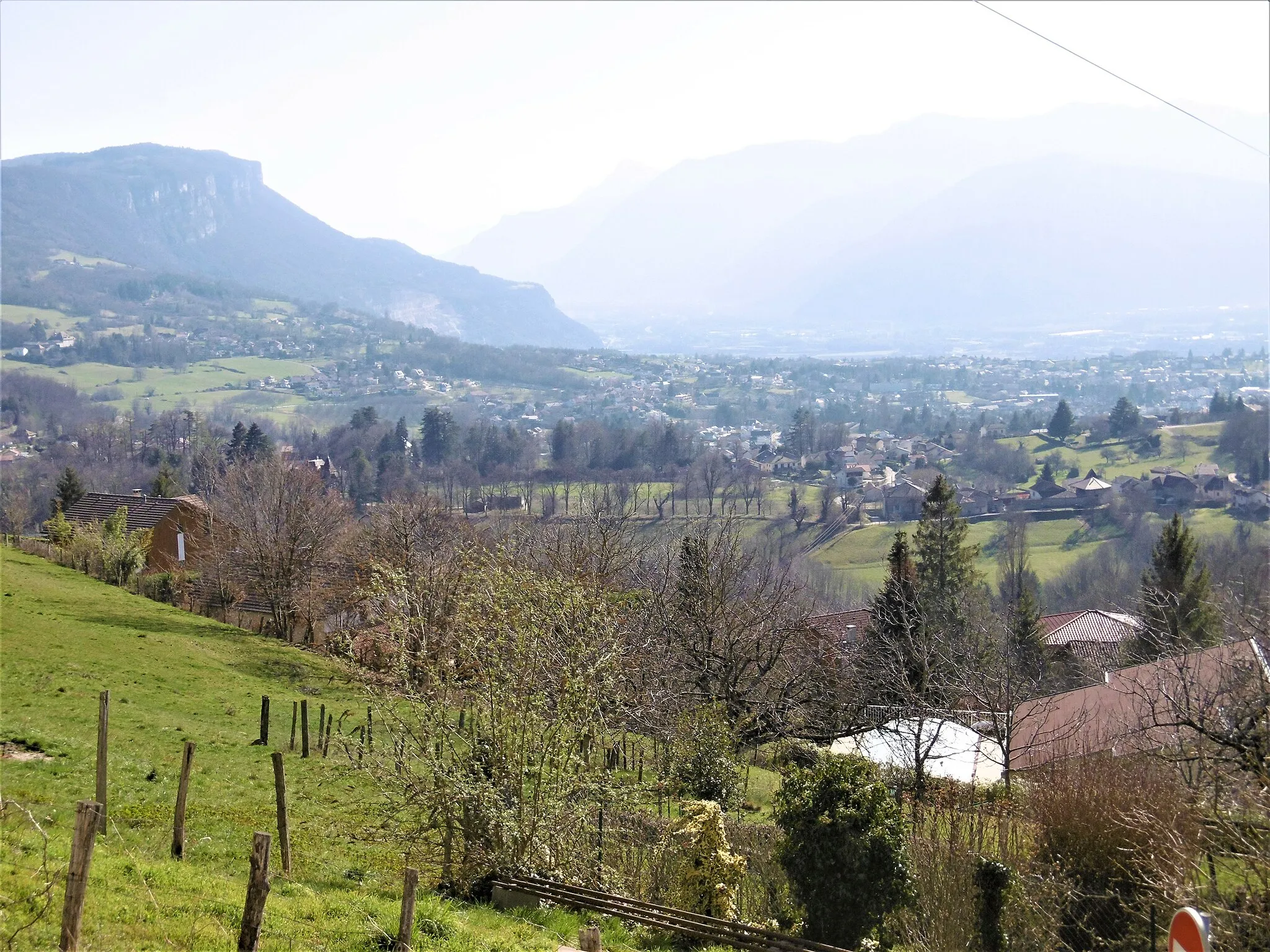
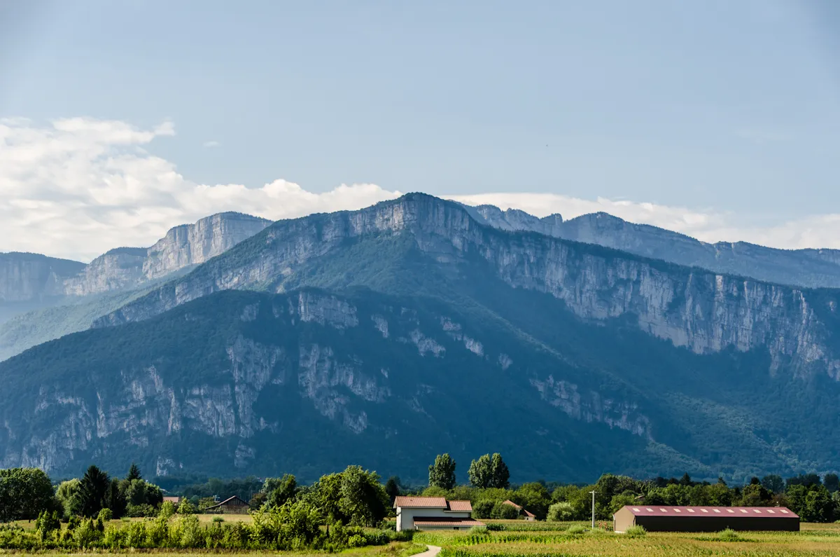
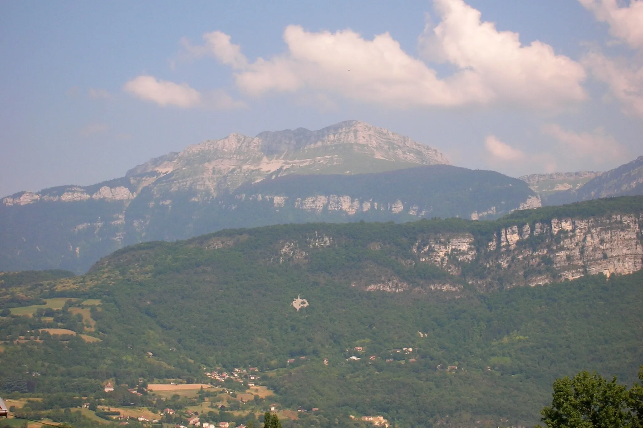
The Les Échelles Loop is a road cycling route that takes you through the picturesque towns and challenging climbs near Miribel-les-Échelles. This 87 km route features a total ascent of 1943 m, making it a challenging adventure for well-trained amateur cyclists. Along the way, you'll have the opportunity to explore the historic town of Les Échelles and admire its medieval architecture. The route also includes a climb to Col de Couz, where you'll be rewarded with breathtaking views of the surrounding mountains. Other highlights include the scenic routes towards Saint-Alban-Leysse and Les Chavonnes. This route is recommended for experienced cyclists looking for a mix of history and challenging climbs.
road
87 km
1943 m
Tough
Route profile
Highlights on the route
0 km
0 km
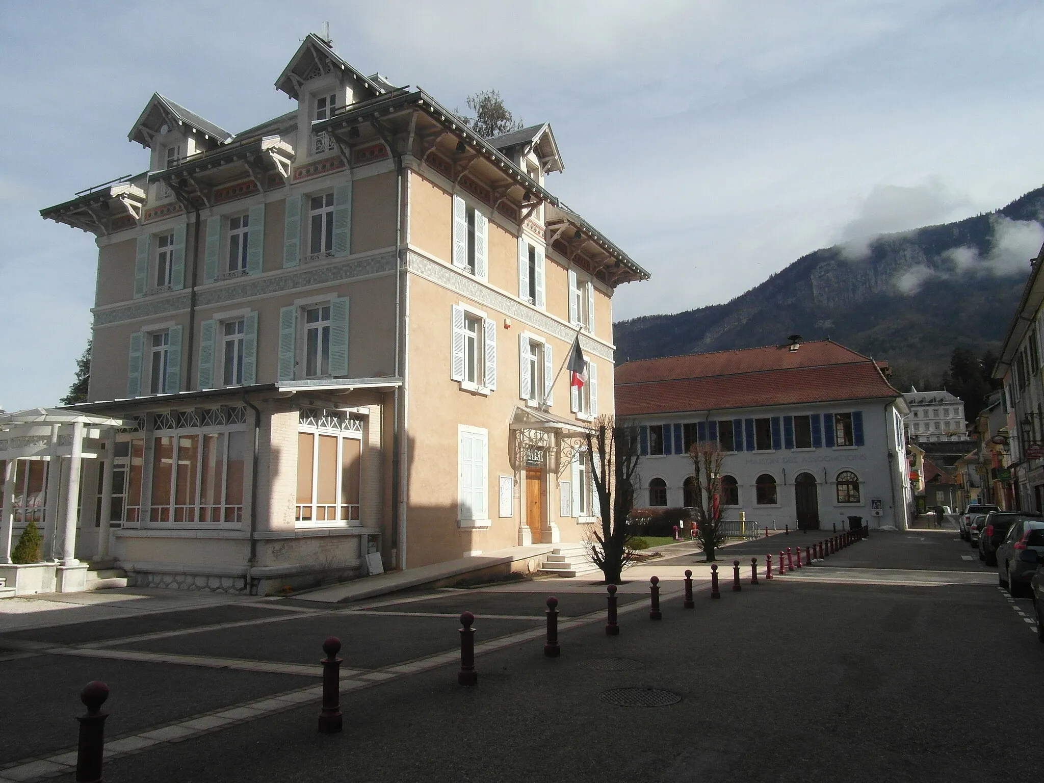
Start: Miribel-les-Échelles Village centerMiribel-les-Échelles: Serene cycling in the Chartreuse Regional Nature Park
Miribel-les-Échelles, located in the Rhône-Alpes region of France, is a charming locality surrounded by natural beauty. For road and gravel cyclists, Miribel-les-Échelles offers a variety of cycling routes that showcase the stunning landscapes of the Chartreuse Regional Nature Park. The area features quiet country roads and challenging climbs, such as Col de Palaquit and Col du Coq. The scenic views, lush forests, and peaceful ambiance make Miribel-les-Échelles an ideal destination for cyclists looking to connect with nature and enjoy a peaceful ride.5 km
5 km
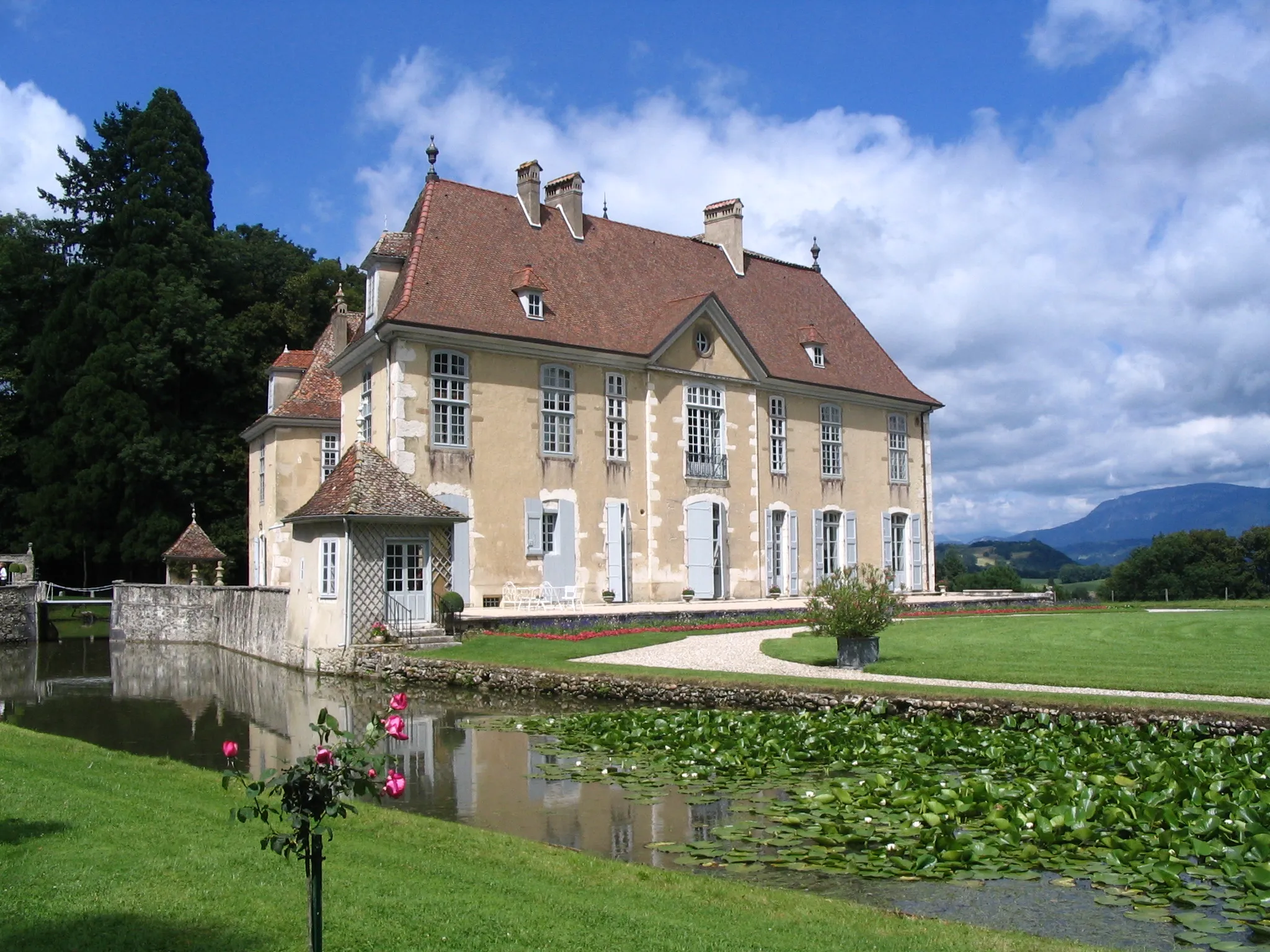
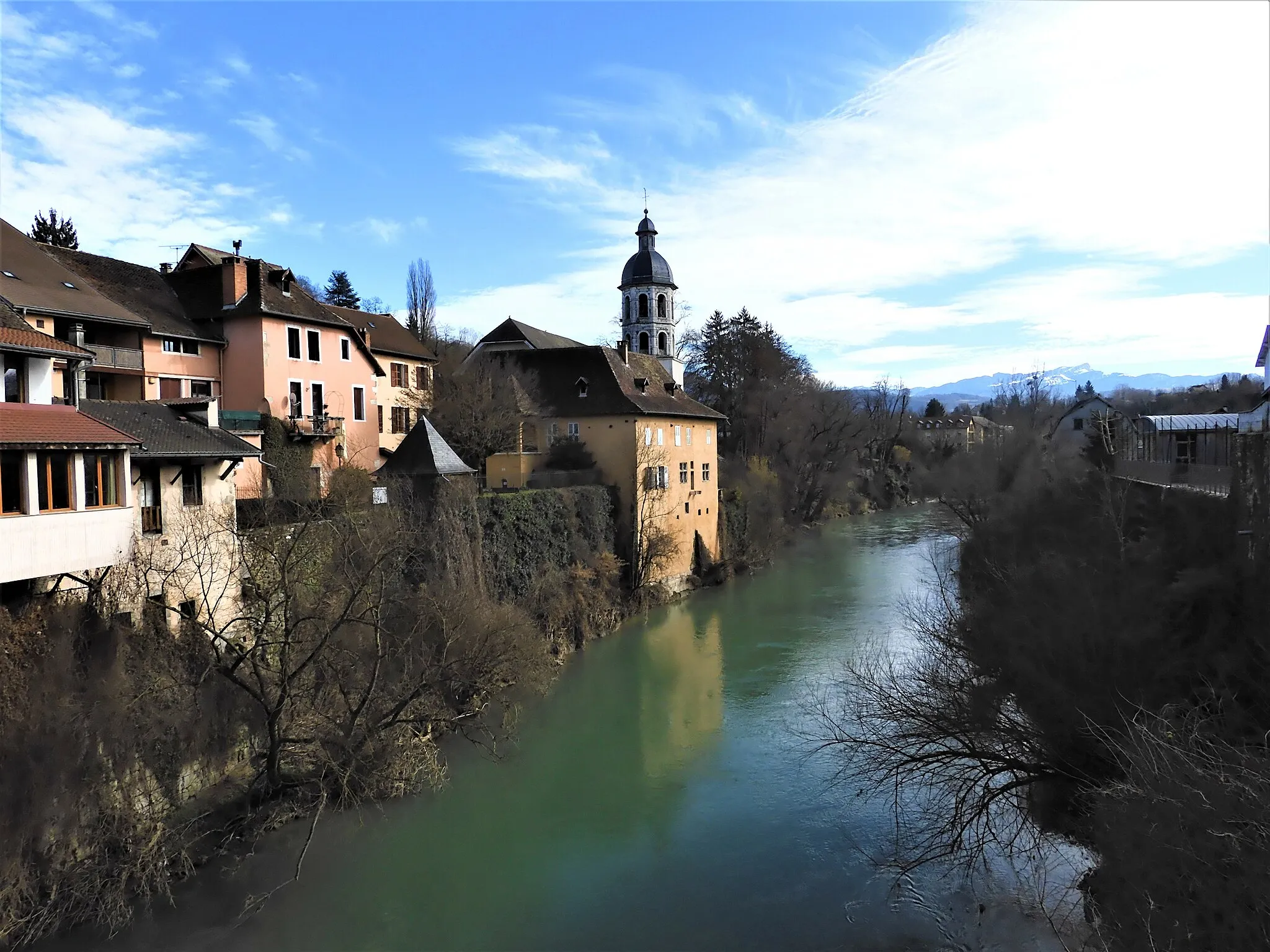
Les ÉchellesVillageExplore the historic town of Les Échelles, known for its medieval castle and charming old town streets.
12 km
12 km
Col de Couz636 mMountain PassChallenge yourself with the legendary Col de Couz climb, offering stunning views and a sense of accomplishment at the summit.
32 km
32 km
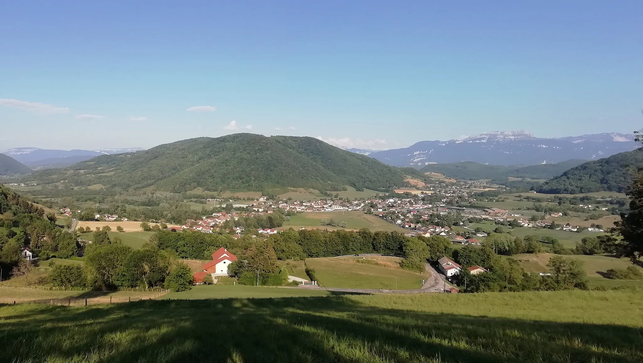
Saint-Alban-LeysseVillagePedal your way towards Saint-Alban-Leysse, a picturesque town with narrow streets and historical landmarks.
35 km
35 km
Les ChavonnesViewpointMarvel at the scenic beauty as you cycle through Les Chavonnes, a tranquil countryside with rolling hills and charming farms.
55 km
55 km
Col du Granier1134 mMountain PassConquer the challenging Col du Granier, a legendary climb among cycling enthusiasts with its steep gradients and breathtaking views.
59 km
59 km
Entremont-le-VieuxVillagePass through Entremont-le-Vieux, a historical village surrounded by nature and featuring beautiful examples of traditional mountain architecture.
70 km
70 km
Pointe du Frou1160 mPeak ViewpointReach Pointe du Frou, a scenic viewpoint offering panoramic views of the surrounding mountains and valleys.
80 km
80 km
Entre-deux-GuiersVillageExplore Entre-deux-Guiers, a peaceful town known for its idyllic countryside and charming local markets.
87 km
87 km
ManjotierHamletExperience the tranquility of Manjotier, a small village tucked away in the French countryside, with its peaceful atmosphere and charming stone houses.
87 km
87 km
Finish: Miribel-les-Échelles Village centerMiribel-les-Échelles: Serene cycling in the Chartreuse Regional Nature Park
Cycling routes nearby: