Montalieu to Sault-Brénaz Gravel Route
A gravel cycling route starting from Montalieu
Explore the picturesque landscapes on this challenging gravel route from Montalieu to Sault-Brénaz
Map
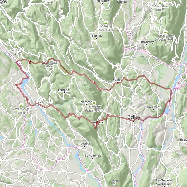
This gravel route offers a thrilling adventure through stunning Rhône-Alpes countryside. With a total ascent of 1922 meters and a distance of 102 kilometers, this challenging ride is perfect for experienced gravel riders. The route starts in Montalieu and takes you through highlights such as Sault-Brénaz and Col de Portes. Overall, this route provides a unique and memorable cycling experience for those looking to test their skills on off-road terrain.
gravel
102 km
1922 m
Tough
Route profile
Highlights on the route
0 km
0 km
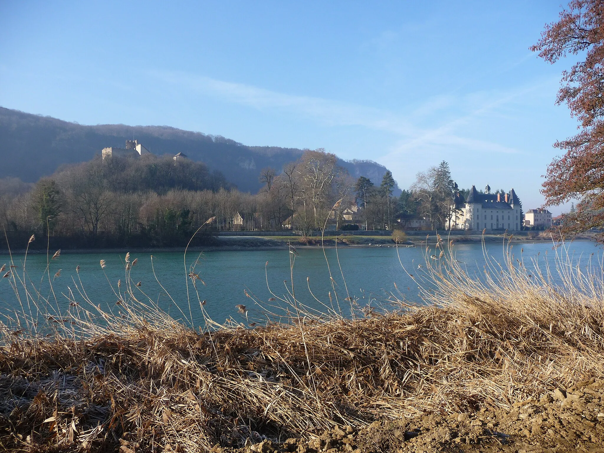
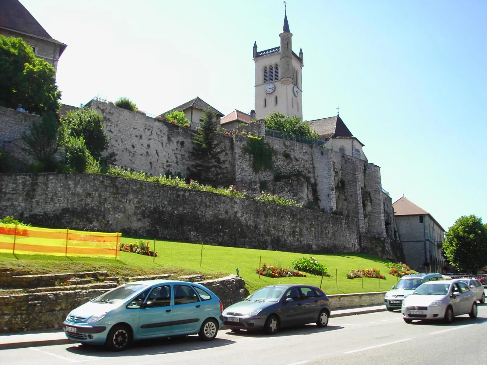
Start: Montalieu-Vercieu Village centerMontalieu: Rolling hills and the challenging Col de la Bâtie climb
Montalieu is a delightful locality located in the Rhône-Alpes region of France. For road and gravel cyclists, Montalieu offers a variety of scenic routes with rolling hills and beautiful countryside. The area is known for its quiet roads, perfect for exploring on two wheels. A must-visit spot for cyclists is the Col de la Bâtie, a challenging climb located in close proximity to Montalieu. This famous cycling route is a favorite among cyclists seeking a thrilling uphill challenge. Additionally, Montalieu is home to the Parc Walibi amusement park, offering recreational activities for visitors of all ages.7 km
7 km
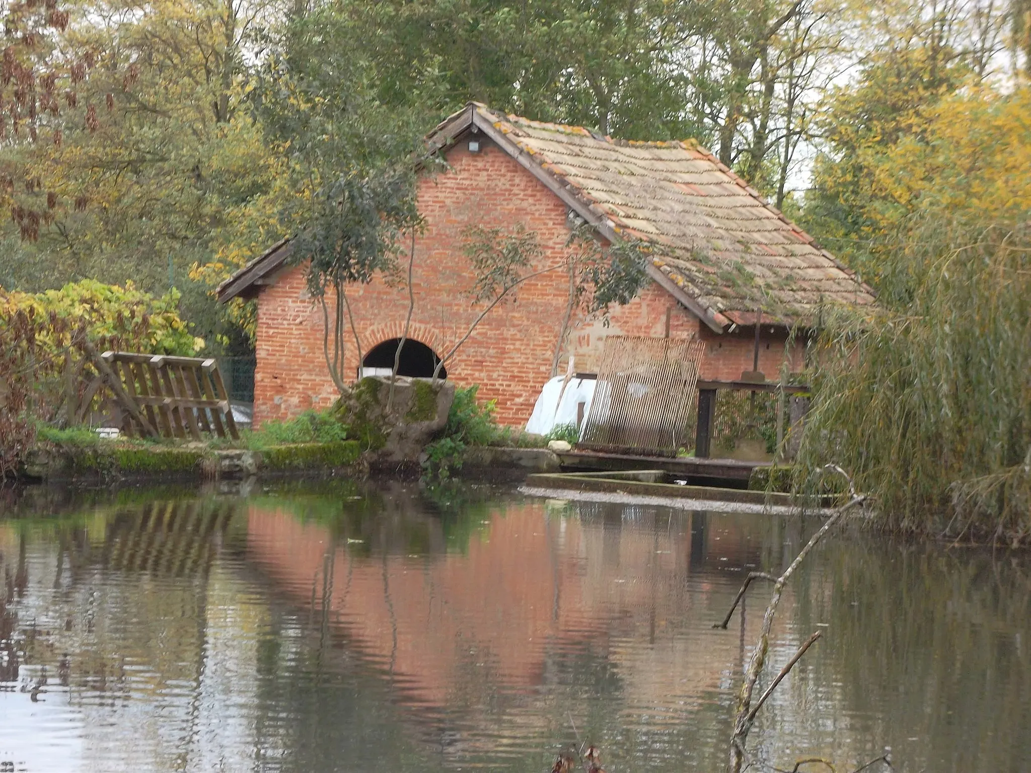
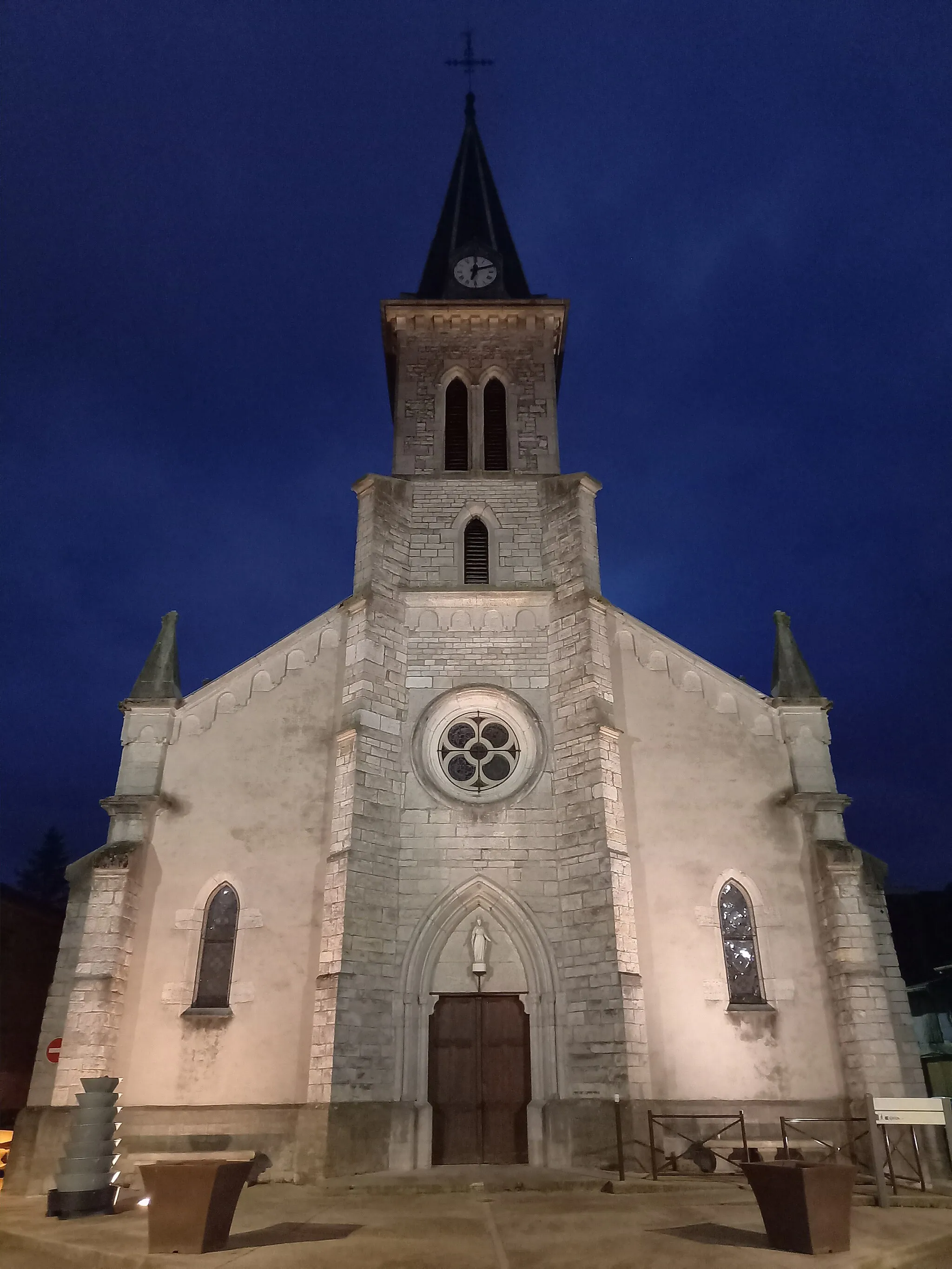
Sault-BrénazVillageSault-Brénaz is a charming village situated along the route, known for its beautiful architecture and tranquil surroundings.
18 km
18 km
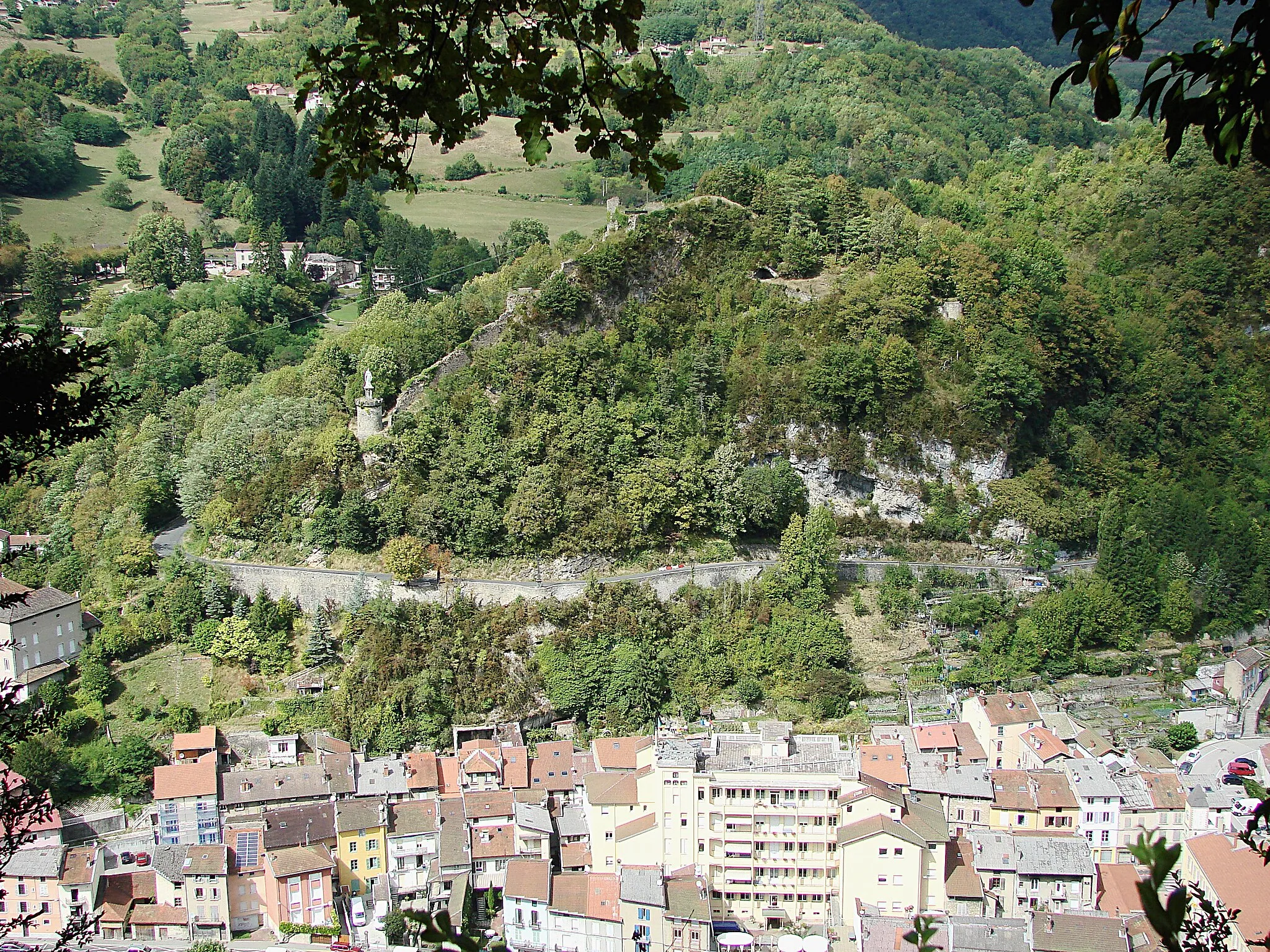
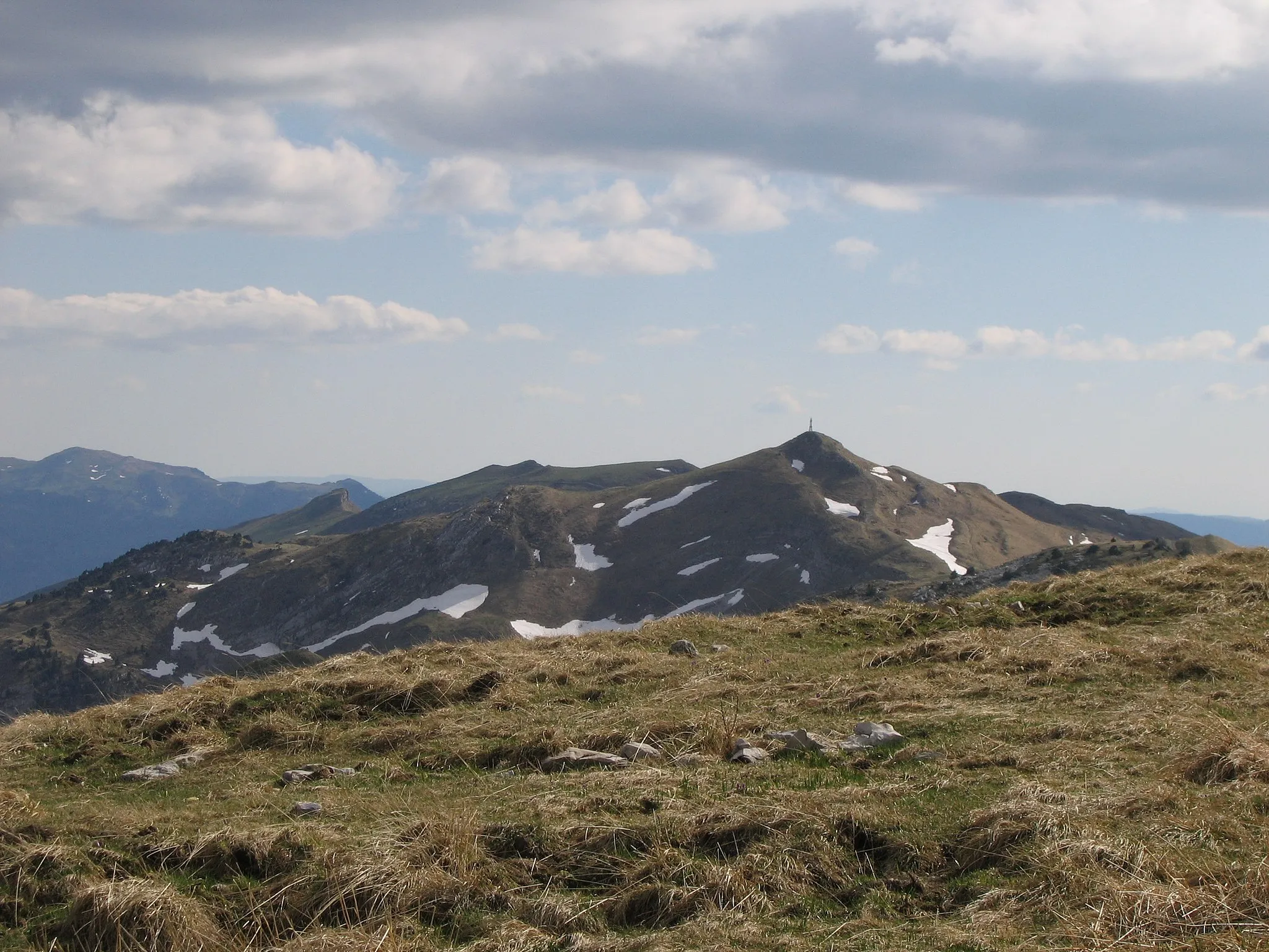
Col de Portes1010 mMountain PassCol de Portes is a legendary climb among cyclists, offering breathtaking views at the summit.
25 km
25 km
OrdonnazVillageOrdonnaz is a small village known for its historic charm and traditional French culture.
48 km
48 km
VongnesVillageVongnes is a picturesque village nestled in the rolling hills of Rhône-Alpes, offering stunning views of the surrounding countryside.
56 km
56 km
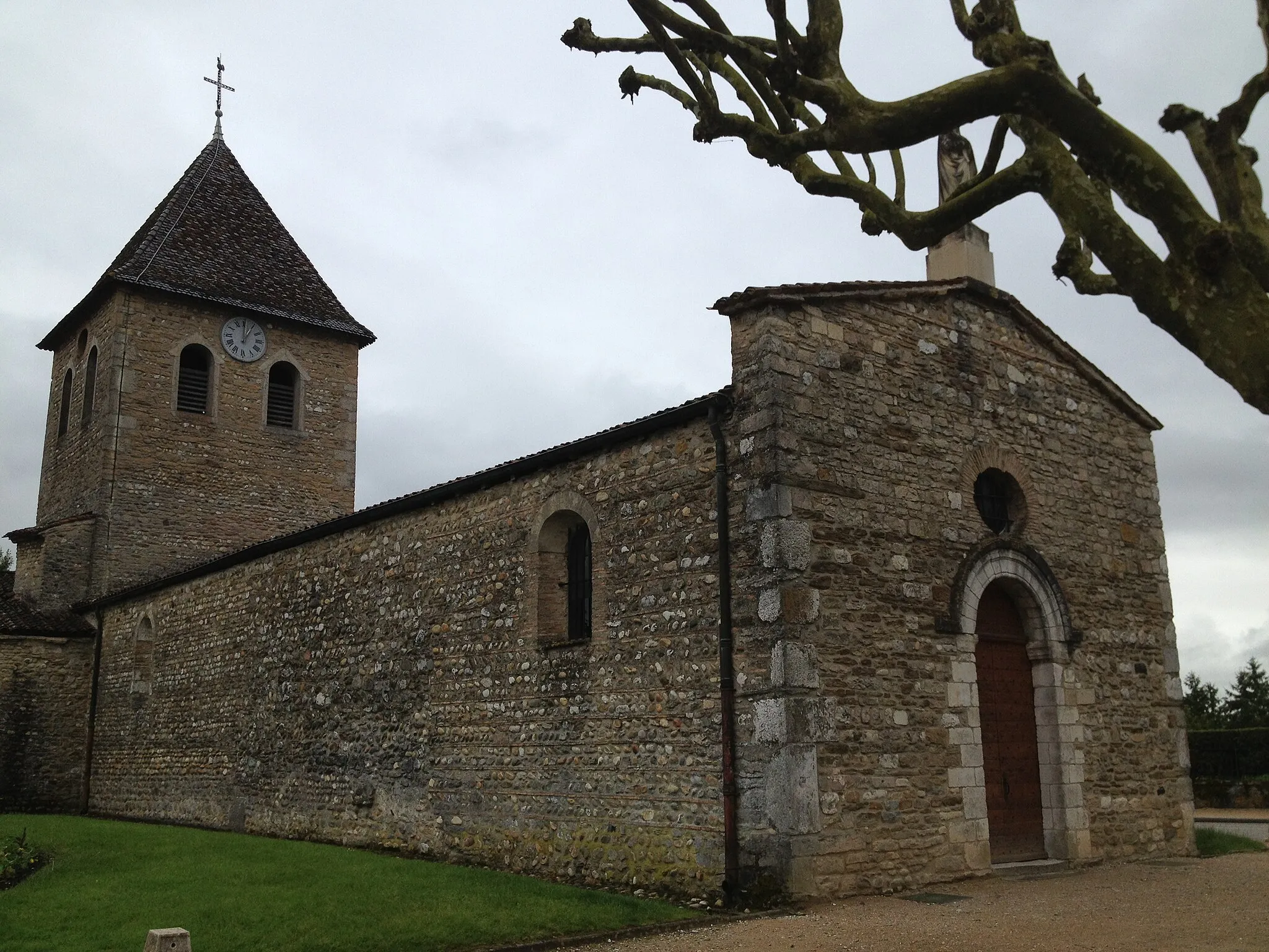
Cressin-RochefortVillageCressin-Rochefort is a peaceful village with a rich history dating back to medieval times.
64 km
64 km
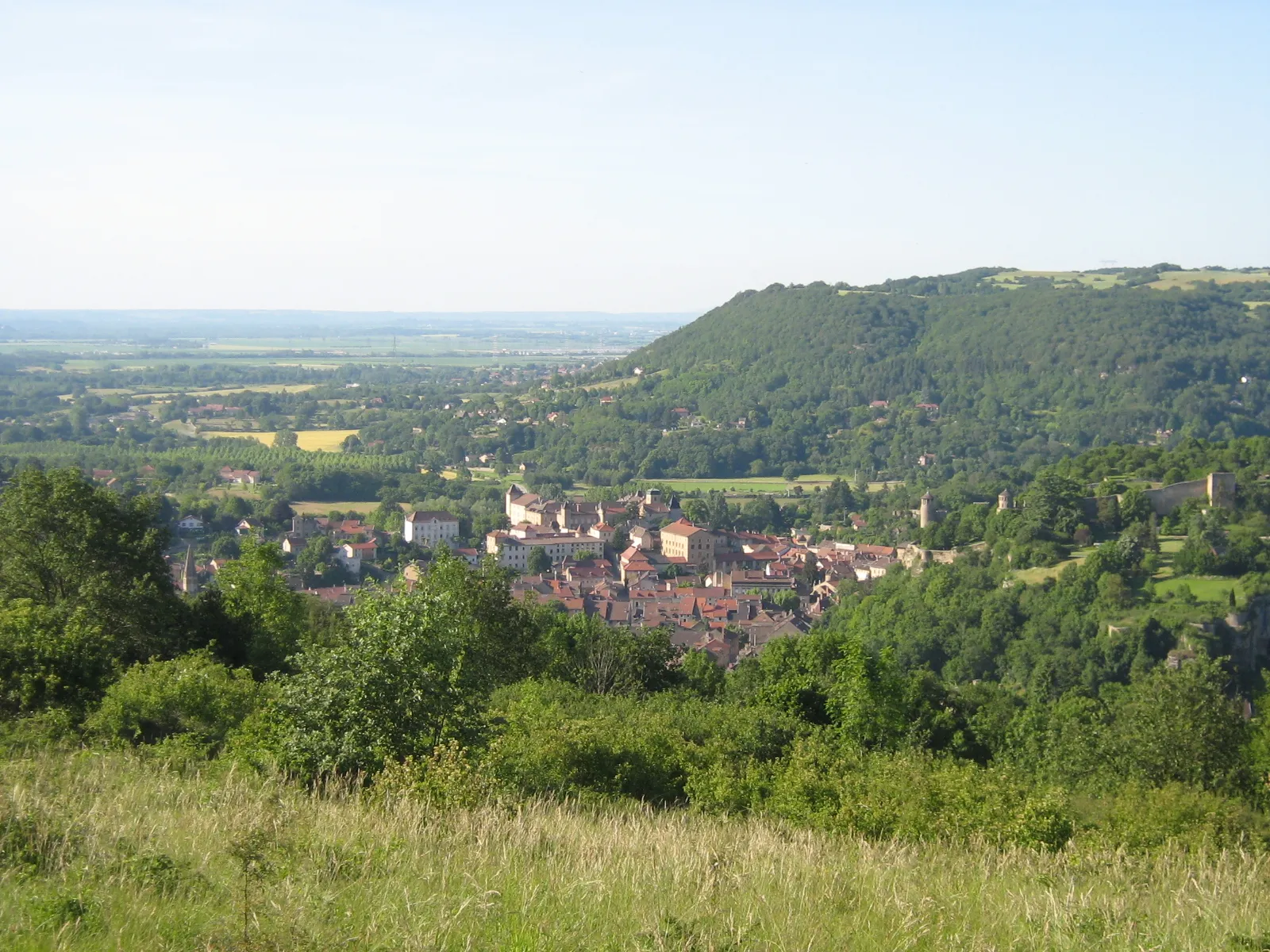
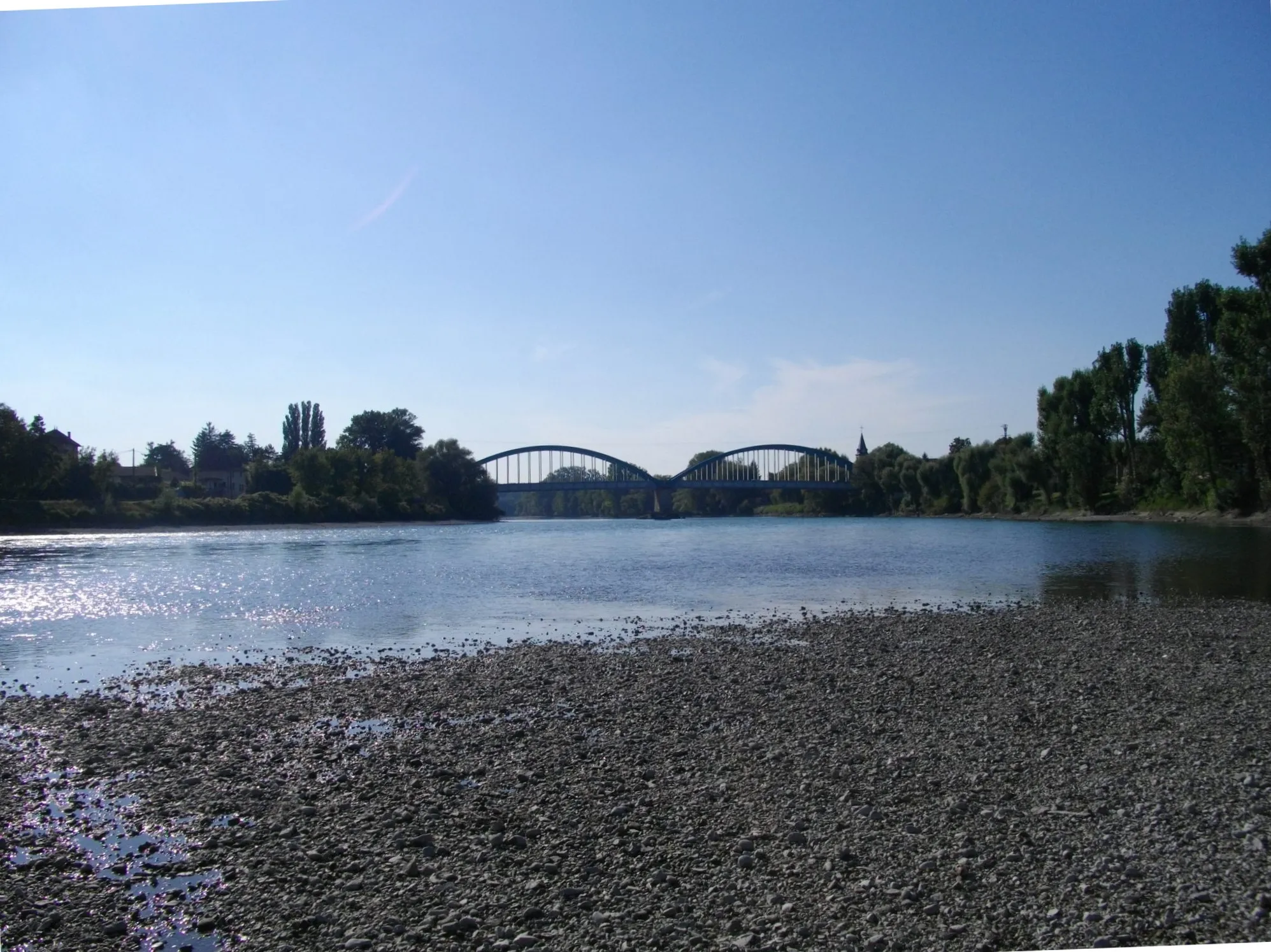
BelleyTownBelley is a charming town known for its beautiful architecture, including the impressive Belley Cathedral.
75 km
75 km
AmbléonVillageAmbléon is a small village with stunning views of the Rhône-Alpes countryside and a peaceful atmosphere.
81 km
81 km
Col des Fosses745 mMountain PassCol des Fosses is a challenging mountain pass known for its scenic beauty and rewarding summit views.
95 km
95 km
BriordVillageBriord is a historic town with a well-preserved old town area and a rich cultural heritage.
102 km
102 km
Montalieu-VercieuVillageMontalieu-Vercieu is the starting point of the route and is a charming village surrounded by beautiful nature reserves and picturesque landscapes.
102 km
102 km
Finish: Montalieu-Vercieu Village centerMontalieu: Rolling hills and the challenging Col de la Bâtie climb
Cycling routes from Montalieu:
Off-Road Cycling Adventure from Montalieu Breathtaking Mountain Journey Scenic Countryside Tour Rhône-Alpes Road Cycling Experience Montalieu to Sault-Brénaz Gravel Route Montalieu Road Adventure Captivating Countryside Exploration Exploring Montalieu-Vercieu Gravel Adventure Scenic Rhône-Alpes Road Route
Cycling routes nearby: