Gravel Adventure
A gravel cycling route starting from Montalieu
Savor the thrilling gravel paths around Montalieu-Vercieu
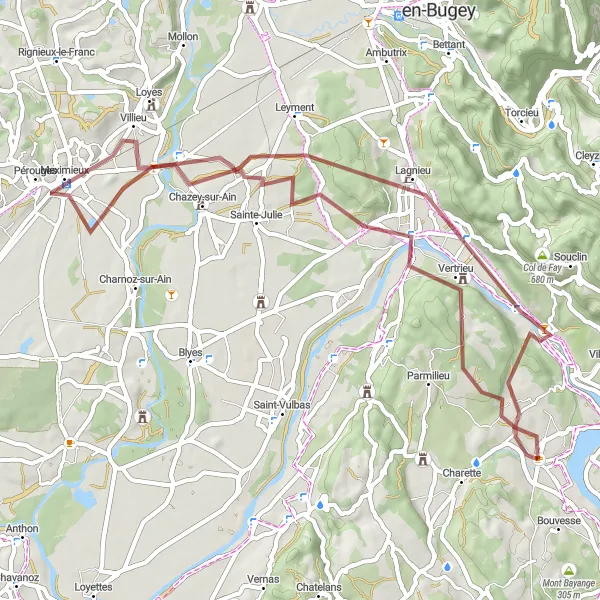
Map
Venture off-road and discover the incredible gravel paths near Montalieu-Vercieu. This route takes you through diverse terrains, including forests and meadows, offering a unique and adventurous experience for gravel cycling enthusiasts.
gravel
58 km
478 m
Tough
Route profile
Highlights on the route
0 km
0 km
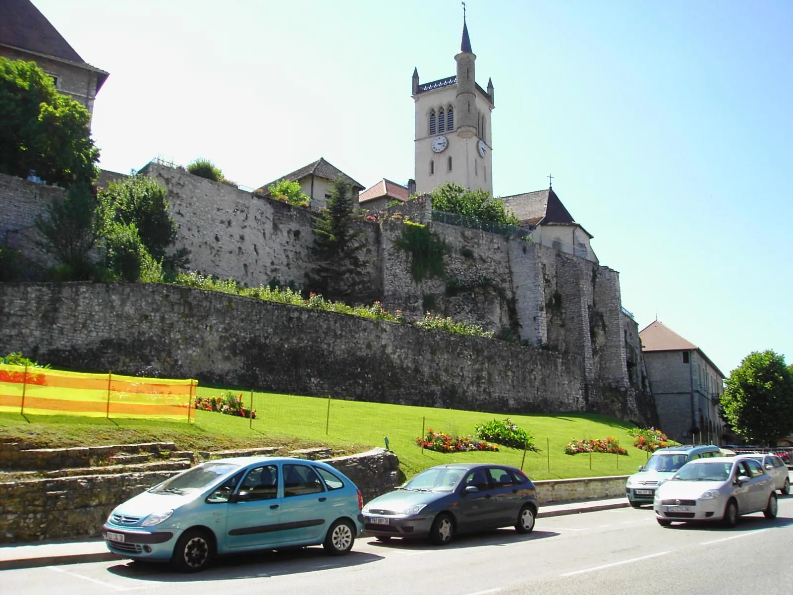
Start: Montalieu-Vercieu Village centerMontalieu: Rolling hills and the challenging Col de la Bâtie climb
Montalieu is a delightful locality located in the Rhône-Alpes region of France. For road and gravel cyclists, Montalieu offers a variety of scenic routes with rolling hills and beautiful countryside. The area is known for its quiet roads, perfect for exploring on two wheels. A must-visit spot for cyclists is the Col de la Bâtie, a challenging climb located in close proximity to Montalieu. This famous cycling route is a favorite among cyclists seeking a thrilling uphill challenge. Additionally, Montalieu is home to the Parc Walibi amusement park, offering recreational activities for visitors of all ages.8 km
8 km
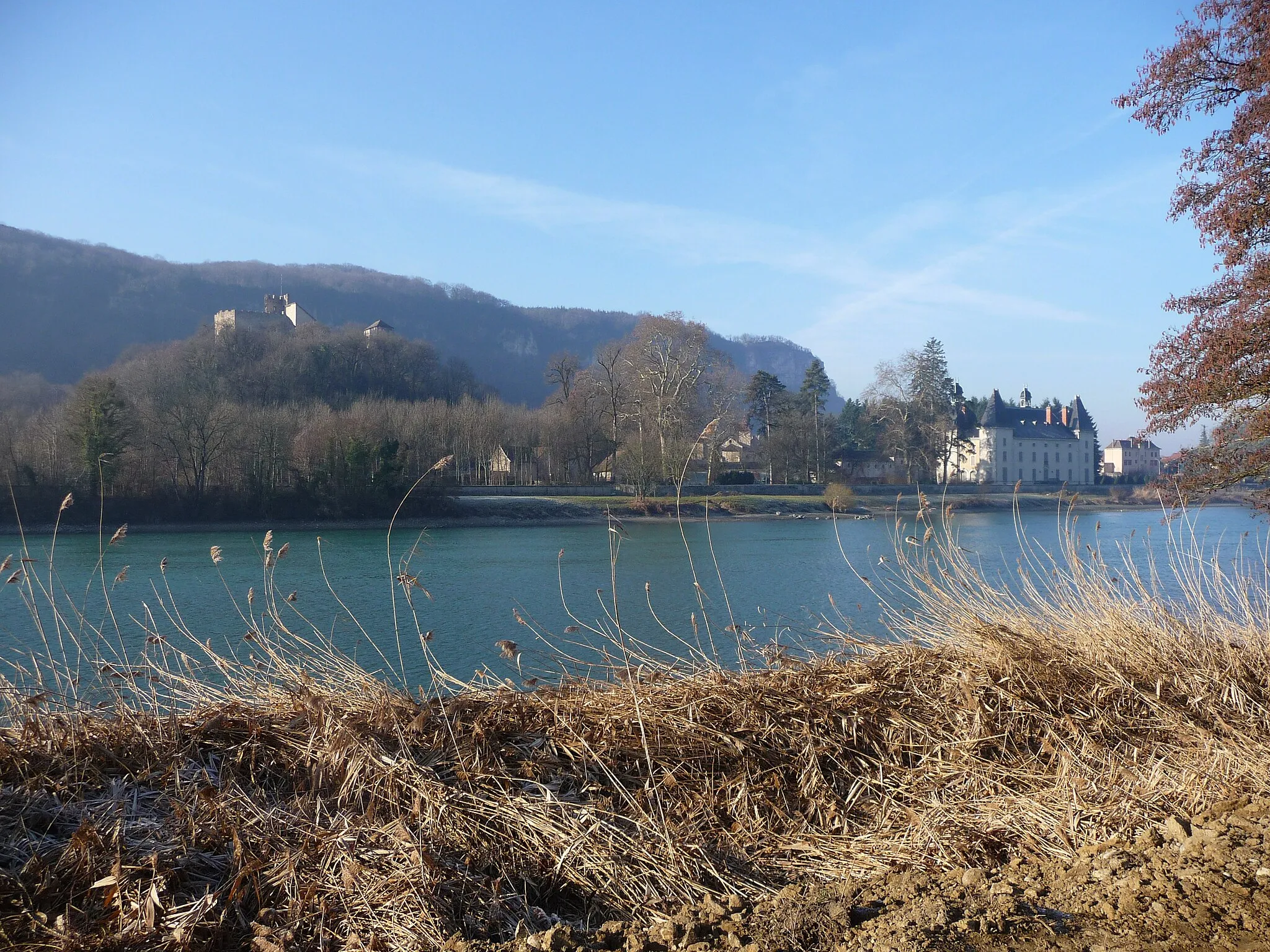
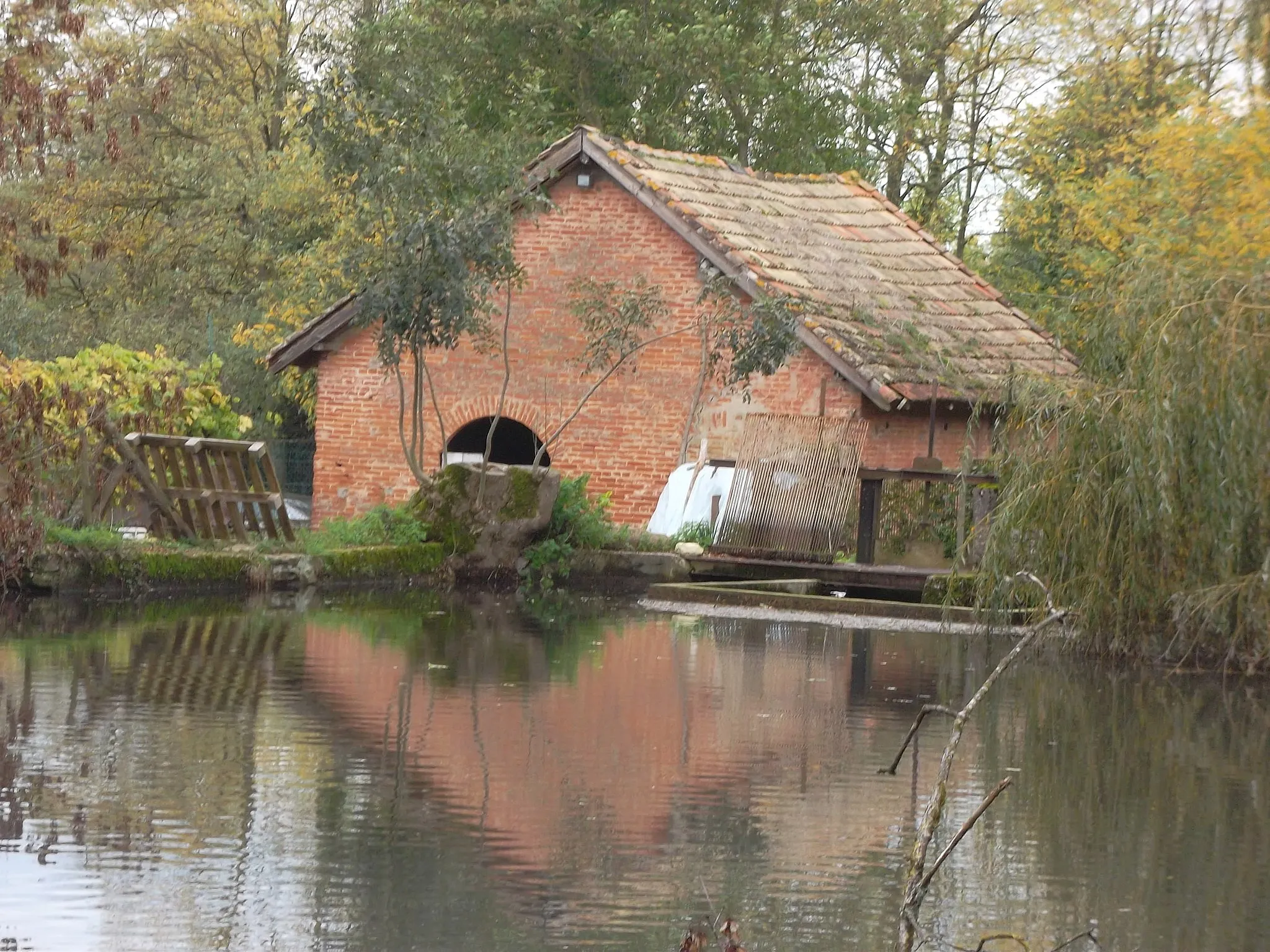
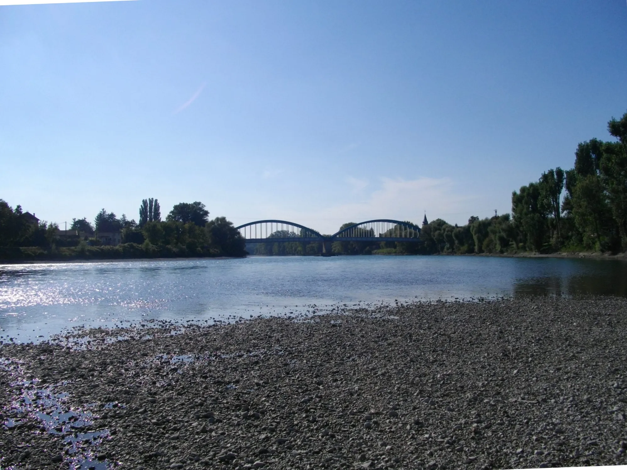
VertrieuVillageAt Vertrieu, you'll encounter the historic Maison-Forte and breathtaking views of the Rhône River.
19 km
19 km
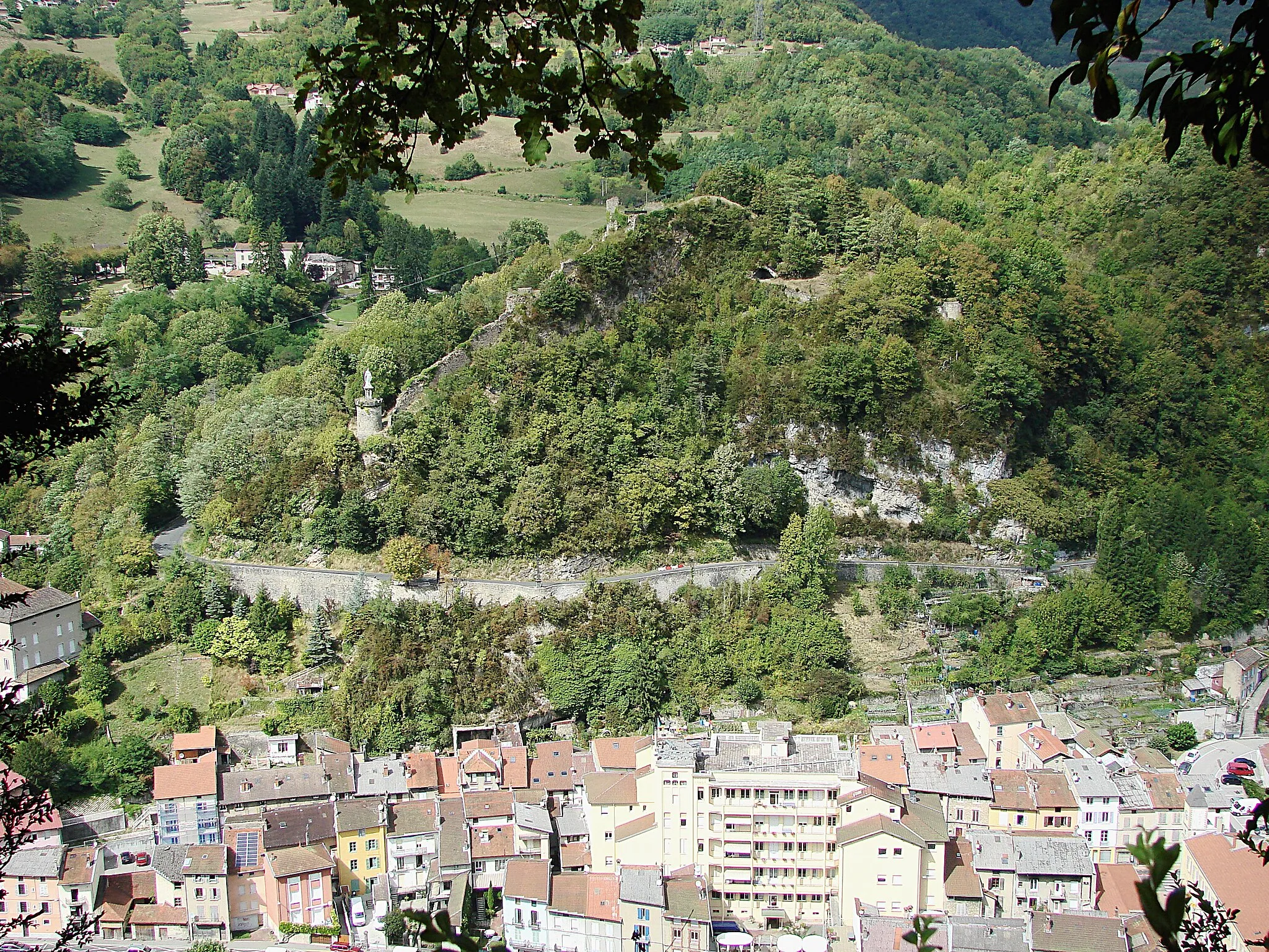
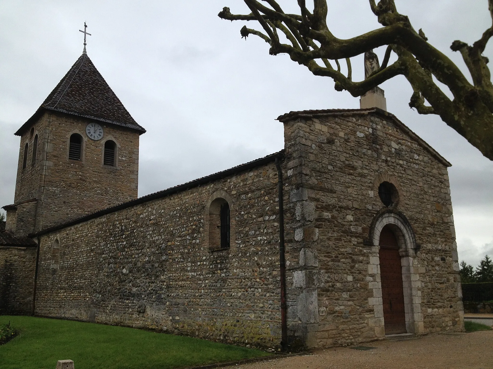
Rignieu-le-DésertHamletRignieu-le-Désert is a small village known for its 12th-century church and the ruins of a medieval castle.
28 km
28 km
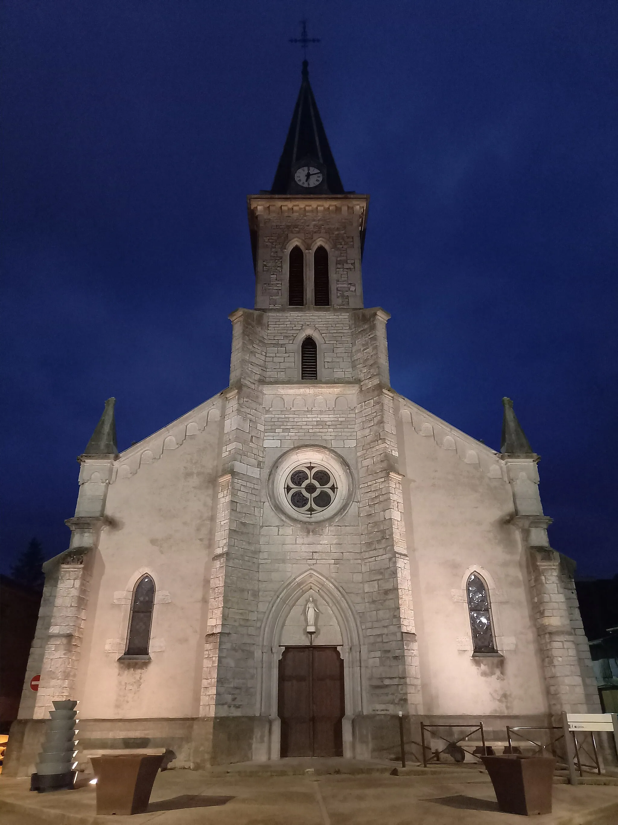
MeximieuxVillageMeximieux features a charming town center with beautiful half-timbered houses and a picturesque Town Hall square.
44 km
44 km
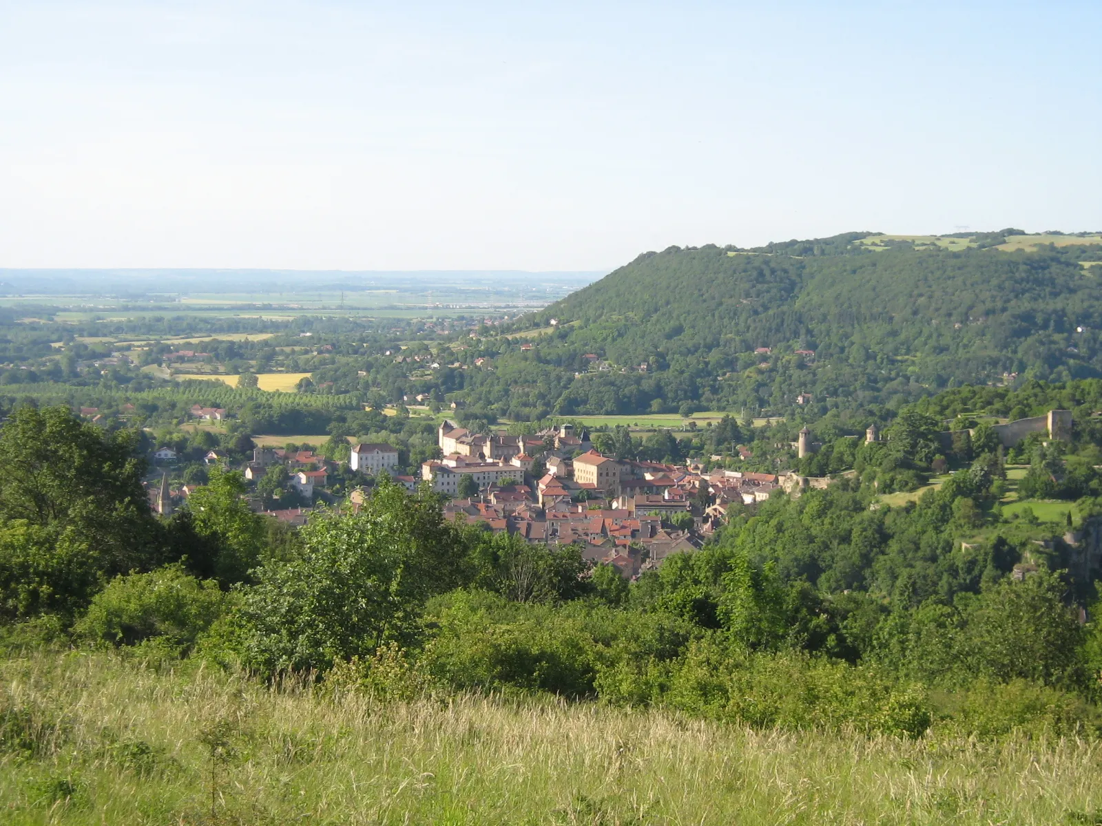
LagnieuVillageLagnieu is a charming town with a rich historical heritage, including architectural gems like the Chapel of Saint-Victor.
45 km
45 km
Bramafan's CrossViewpointBramafan's Cross is a popular viewpoint, offering panoramic vistas over the diverse landscapes of Rhône-Alpes.
58 km
58 km
Montalieu-VercieuVillageMontalieu-Vercieu is a delightful village nestled between the Rhône River and the Balme-les-Grottes forest. Explore its medieval castle and the stunning natural surroundings.
58 km
58 km
Finish: Montalieu-Vercieu Village centerMontalieu: Rolling hills and the challenging Col de la Bâtie climb
Cycling routes from Montalieu:
Off-Road Cycling Adventure from Montalieu Breathtaking Mountain Journey Scenic Countryside Tour Rhône-Alpes Road Cycling Experience Montalieu to Sault-Brénaz Gravel Route Montalieu Road Adventure Captivating Countryside Exploration Exploring Montalieu-Vercieu Gravel Adventure Scenic Rhône-Alpes Road Route
Cycling routes nearby: