Montalieu Road Adventure
A road cycling route starting from Montalieu
Embark on an exciting road cycling adventure from Montalieu
Map
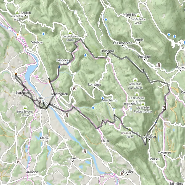
This road cycling route offers a thrilling adventure through the scenic Rhône-Alpes region. With a total ascent of 1347 meters and a distance of 70 kilometers, this route is suitable for experienced road cyclists. Starting in Montalieu, the route takes you through highlights such as Bénonces and Contrevoz. Overall, this route provides a unique opportunity to explore the diverse landscapes and charming villages of Rhône-Alpes while enjoying the thrill of road cycling.
road
70 km
1347 m
Tough
Route profile
Highlights on the route
0 km
0 km
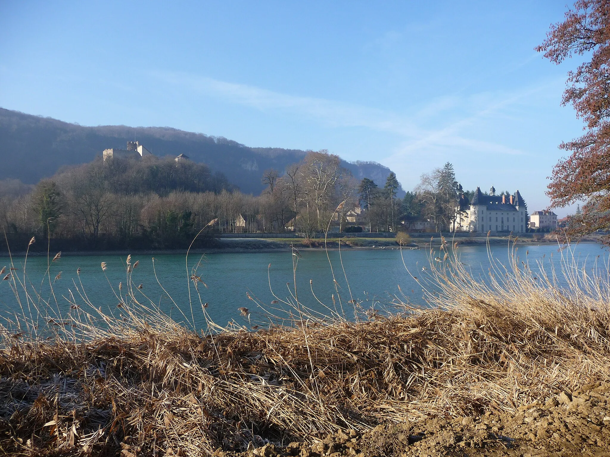
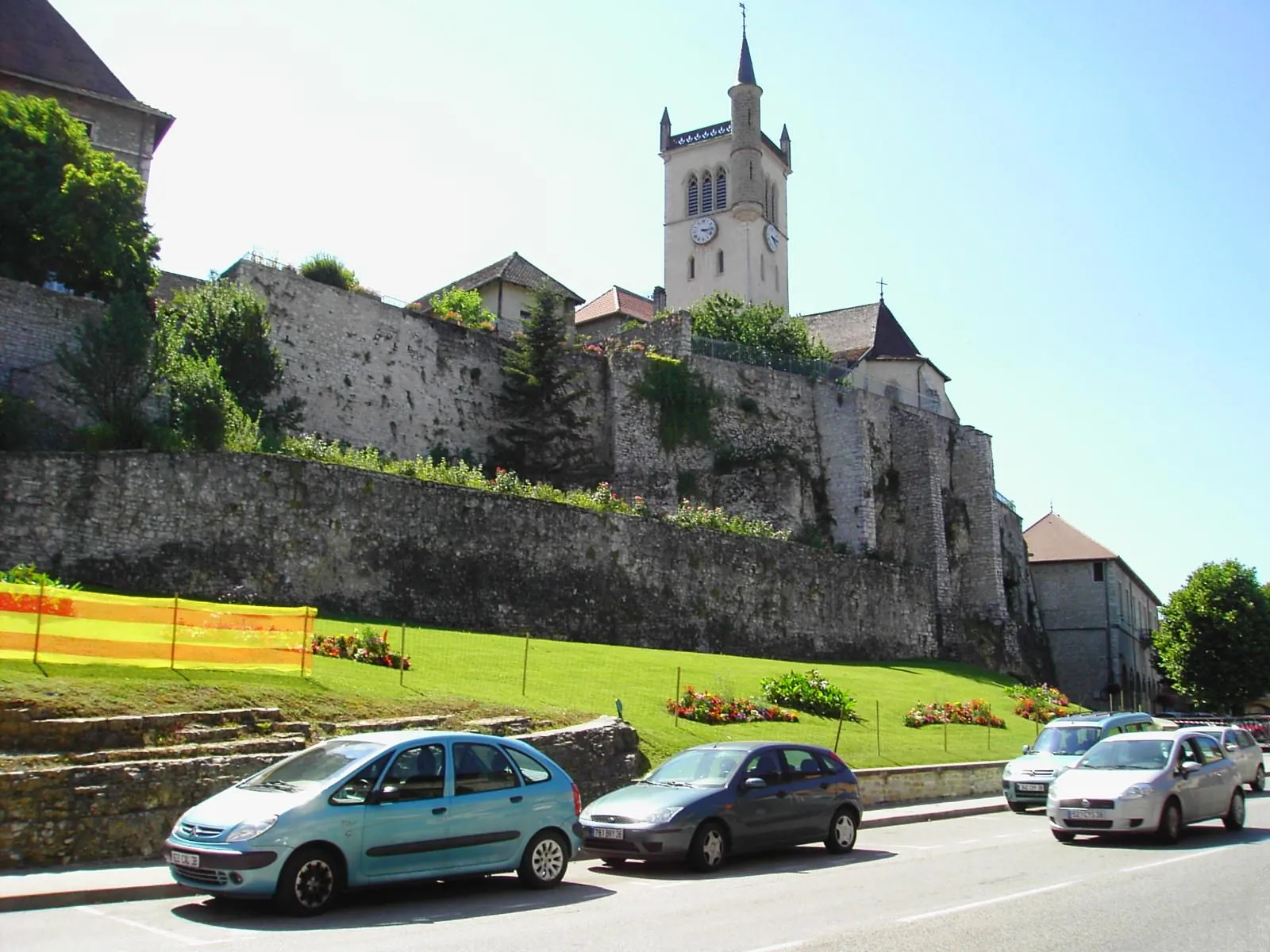
Start: Montalieu-Vercieu Village centerMontalieu: Rolling hills and the challenging Col de la Bâtie climb
Montalieu is a delightful locality located in the Rhône-Alpes region of France. For road and gravel cyclists, Montalieu offers a variety of scenic routes with rolling hills and beautiful countryside. The area is known for its quiet roads, perfect for exploring on two wheels. A must-visit spot for cyclists is the Col de la Bâtie, a challenging climb located in close proximity to Montalieu. This famous cycling route is a favorite among cyclists seeking a thrilling uphill challenge. Additionally, Montalieu is home to the Parc Walibi amusement park, offering recreational activities for visitors of all ages.13 km
13 km
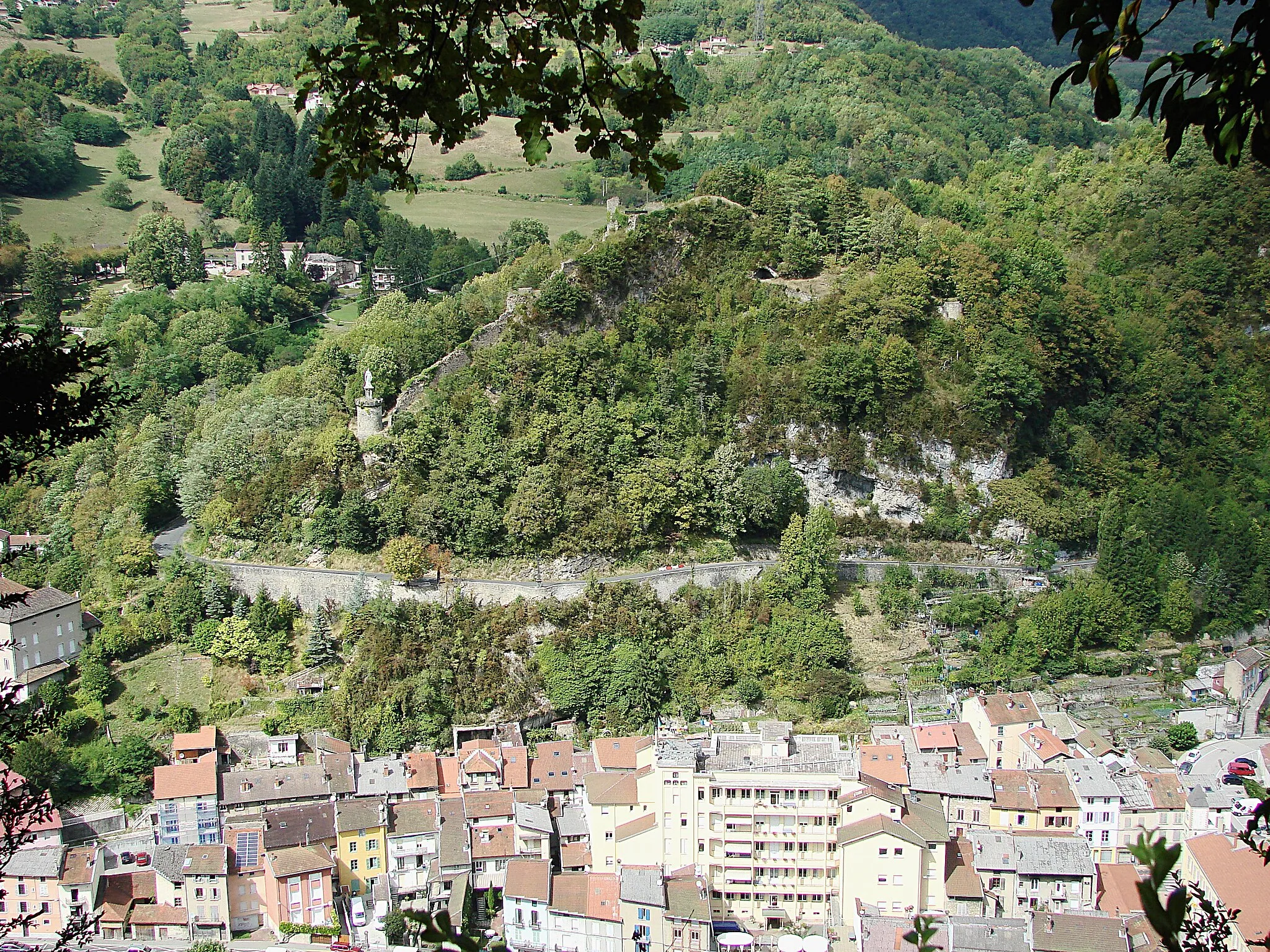
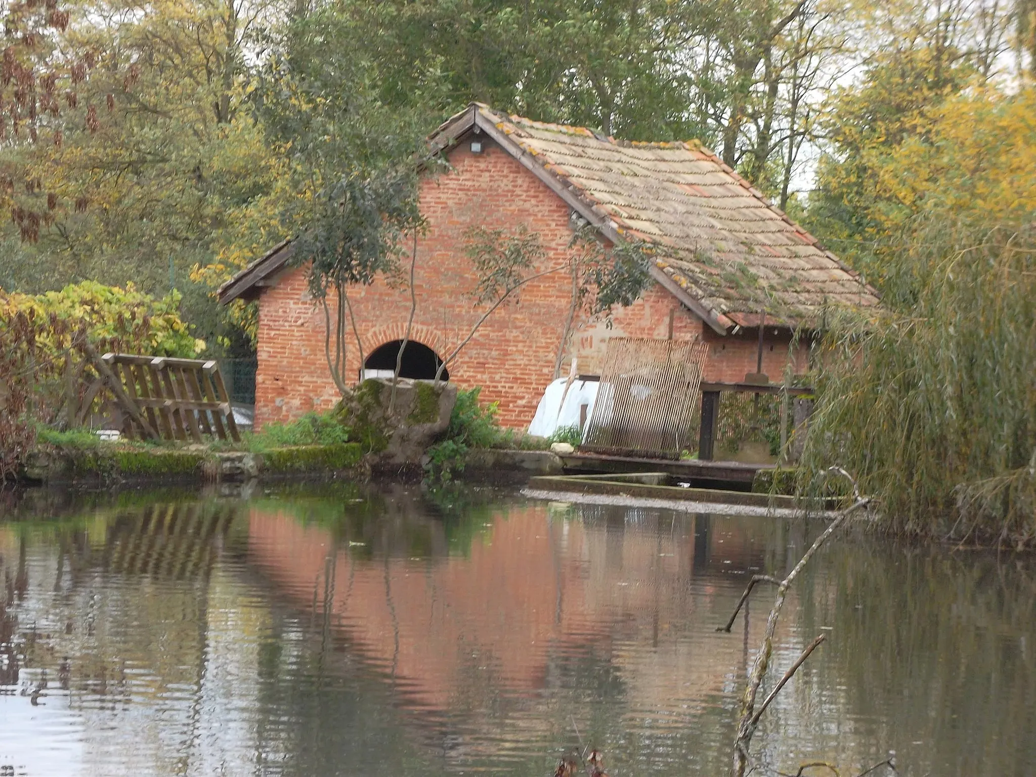
BénoncesVillageBénonces is a small village with traditional French architecture and a peaceful atmosphere.
35 km
35 km
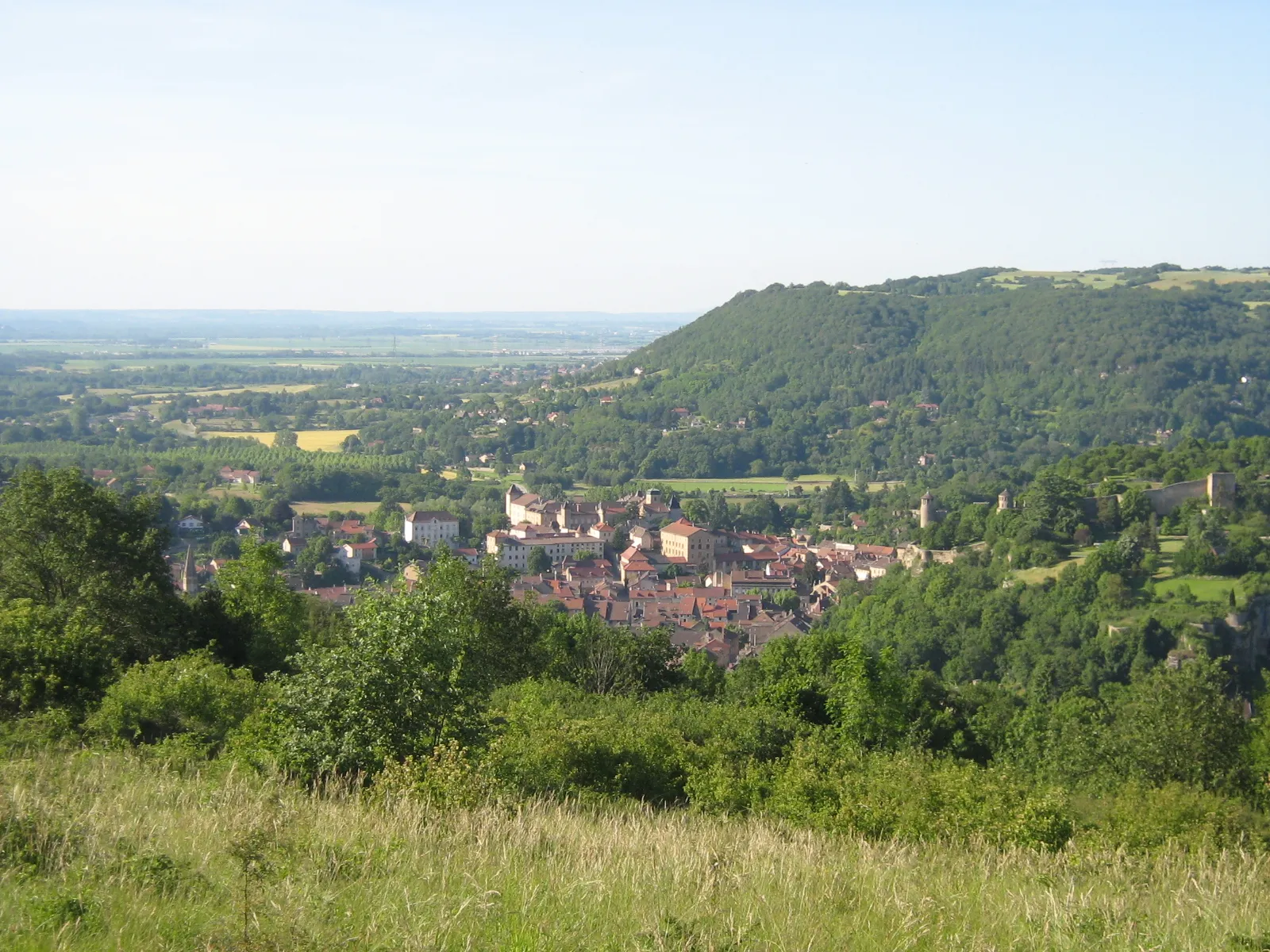
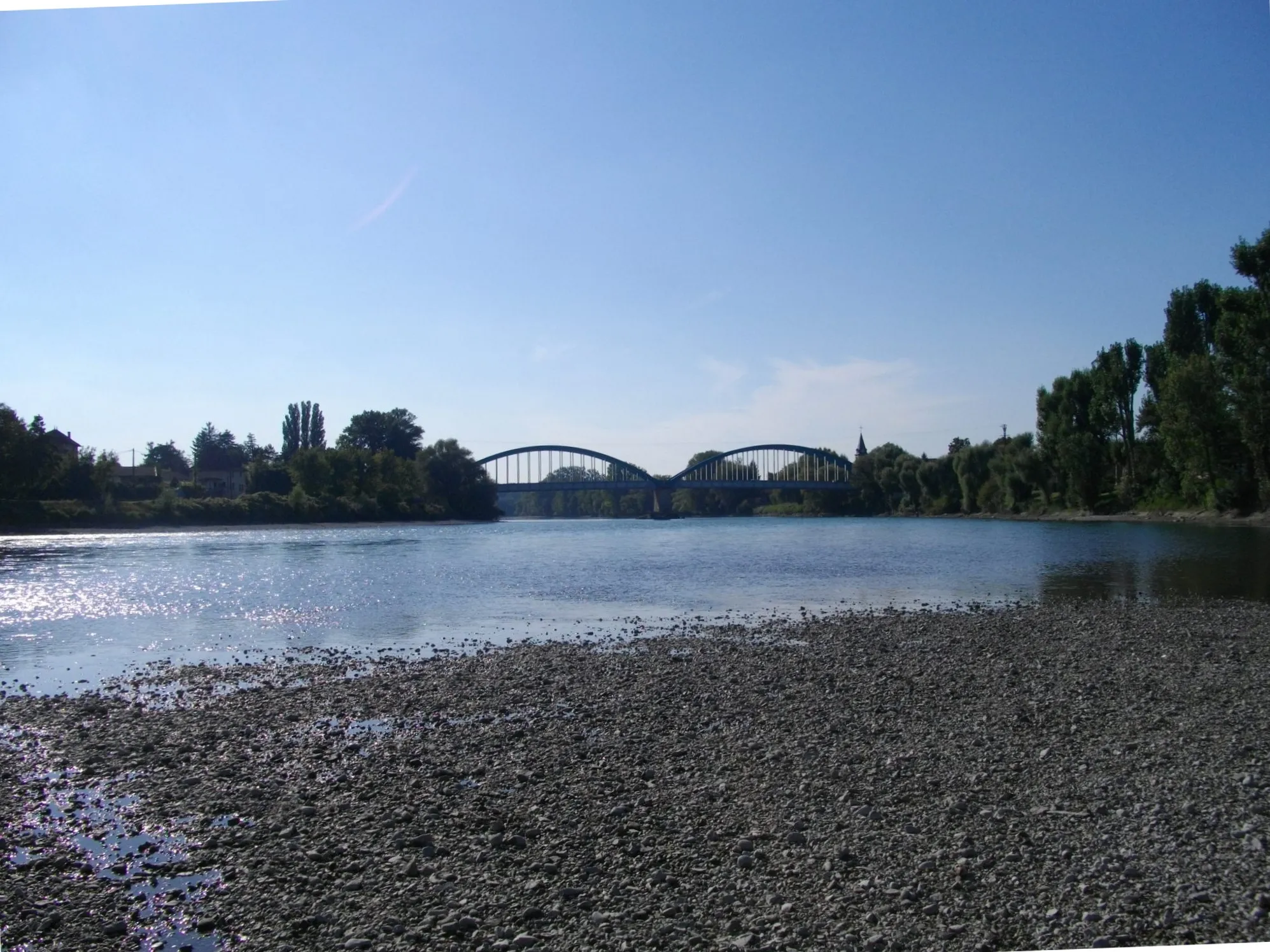
ContrevozVillageContrevoz is a picturesque village known for its beautiful landscapes and charming old town area.
42 km
42 km
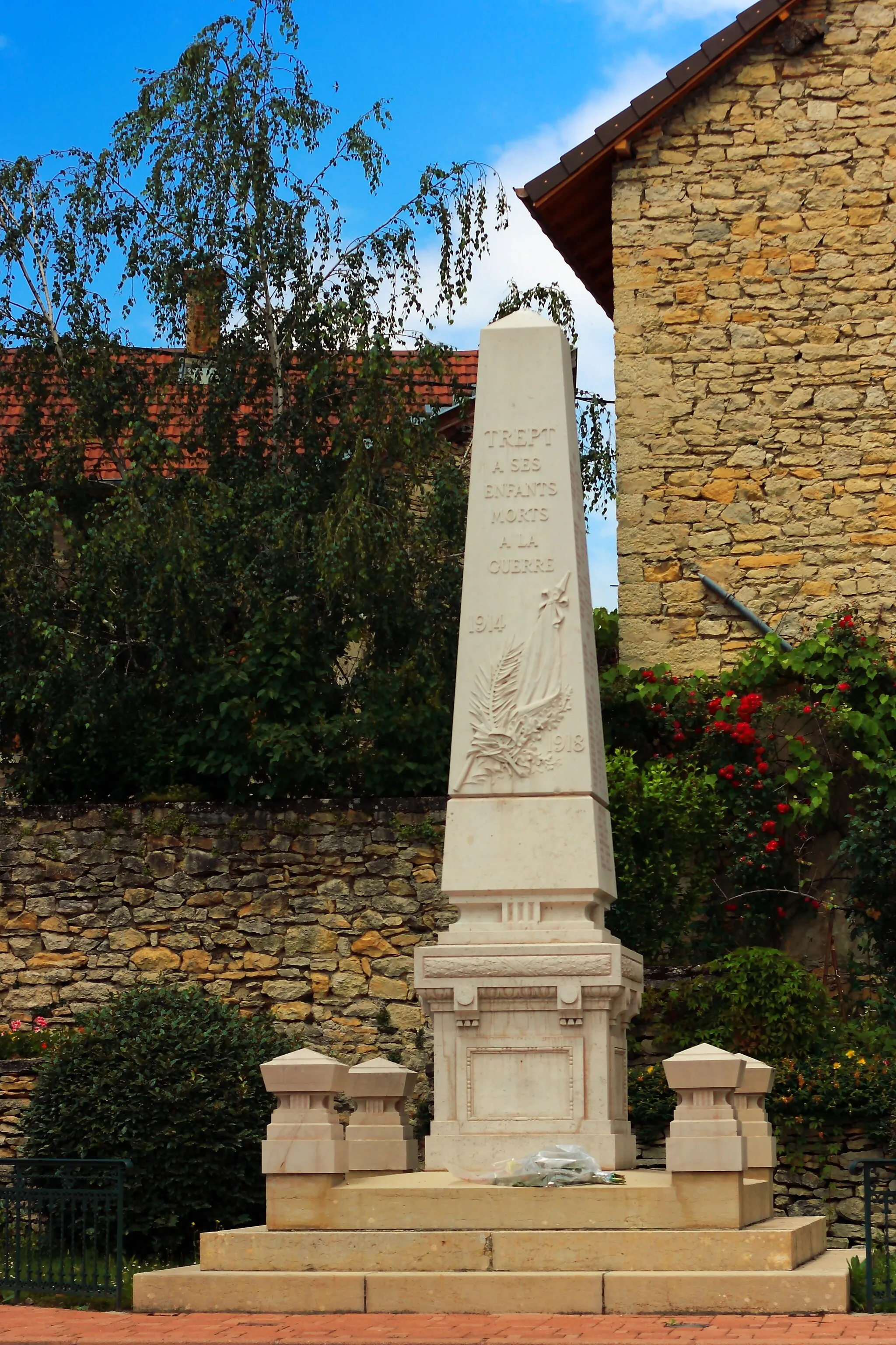
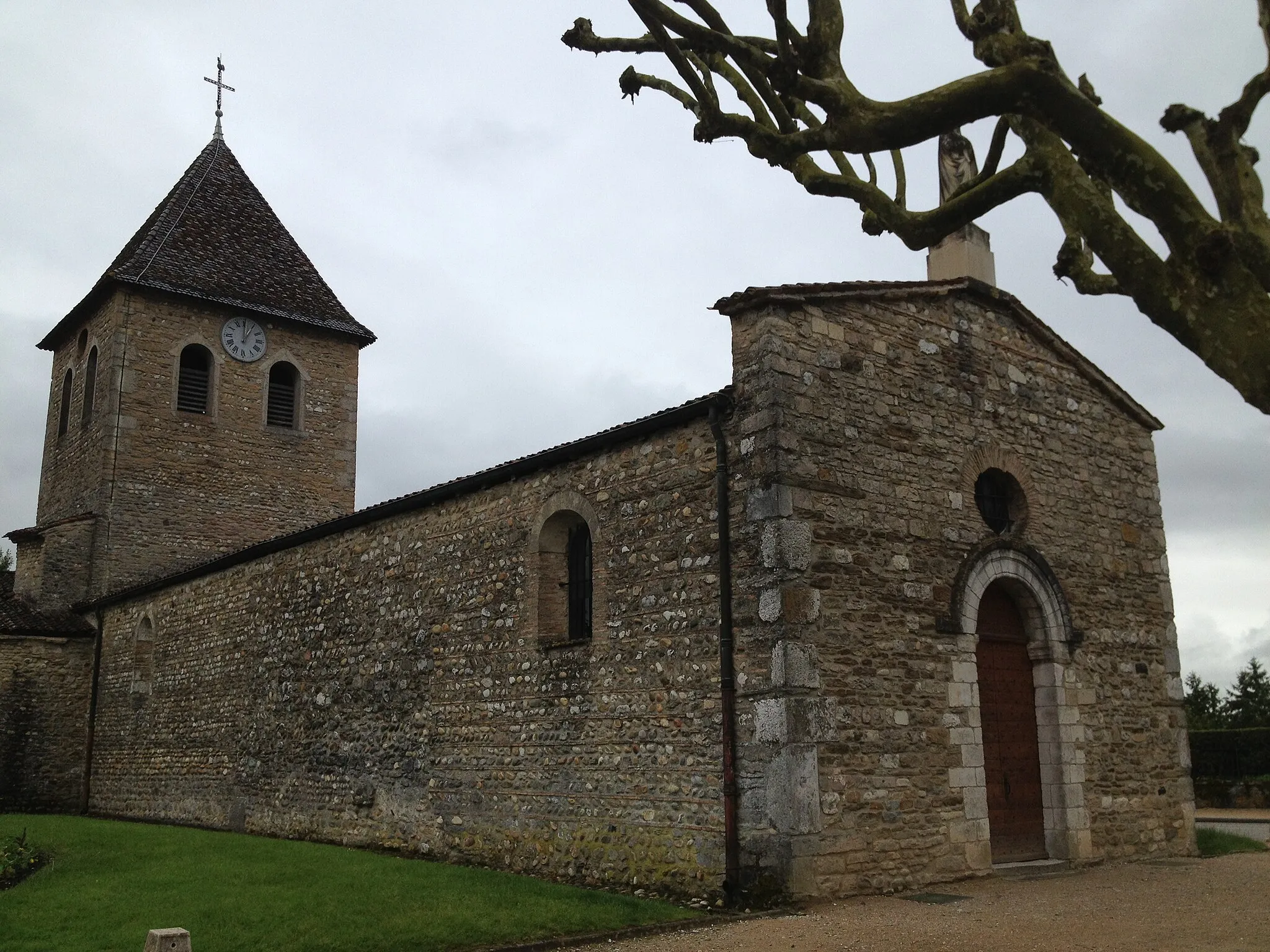
AmbléonVillageAmbléon offers stunning views of the surrounding countryside and is a perfect spot for a rest or picnic.
47 km
47 km
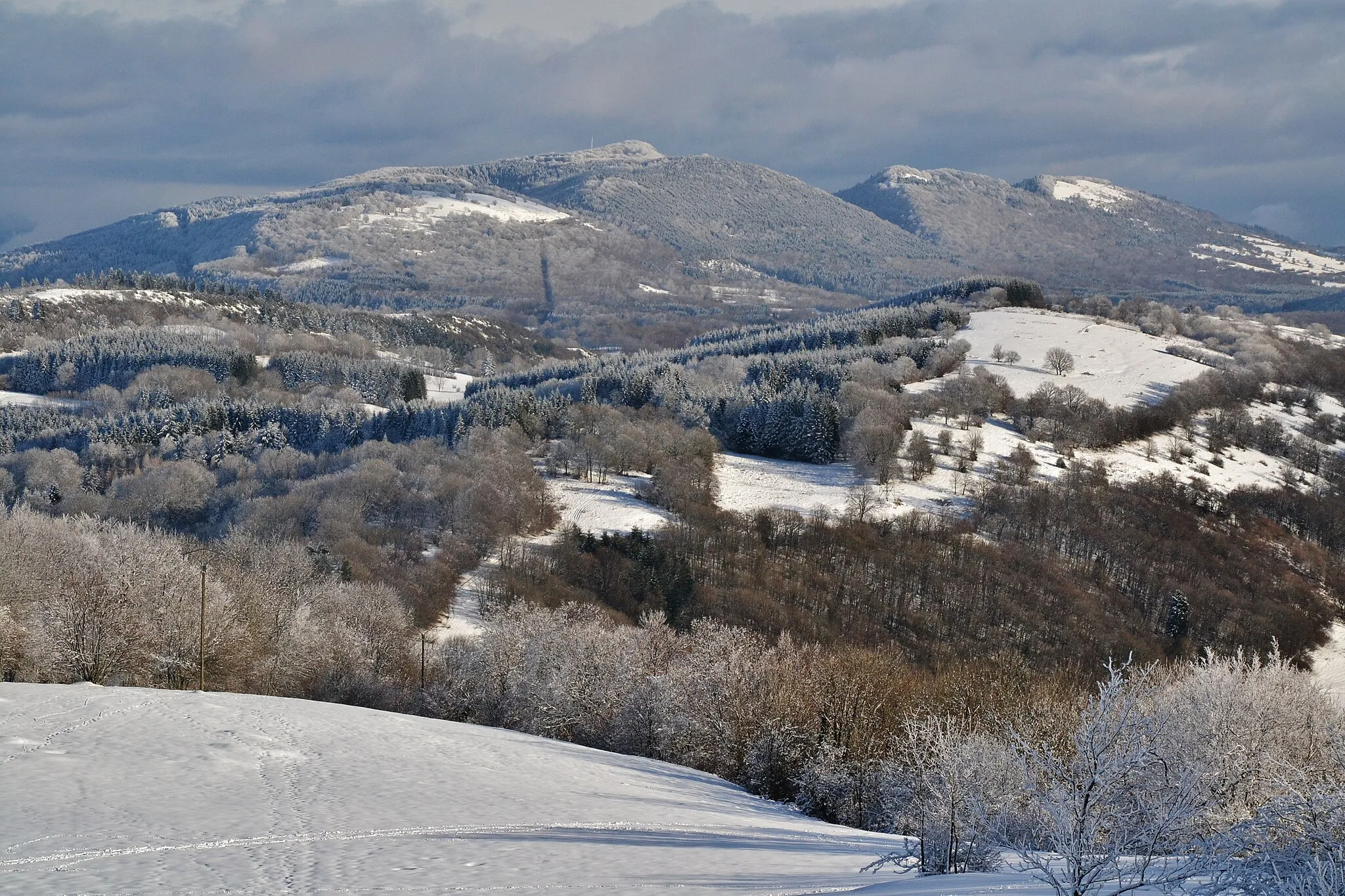
Col des Fosses745 mMountain PassCol des Fosses is a challenging mountain pass with breathtaking views of the Rhône-Alpes region.
70 km
70 km
Montalieu-VercieuVillageMontalieu-Vercieu is the starting village of the route and offers a peaceful atmosphere and beautiful natural surroundings.
70 km
70 km
Finish: Montalieu-Vercieu Village centerMontalieu: Rolling hills and the challenging Col de la Bâtie climb
Cycling routes from Montalieu:
Off-Road Cycling Adventure from Montalieu Breathtaking Mountain Journey Scenic Countryside Tour Rhône-Alpes Road Cycling Experience Montalieu to Sault-Brénaz Gravel Route Montalieu Road Adventure Captivating Countryside Exploration Exploring Montalieu-Vercieu Gravel Adventure Scenic Rhône-Alpes Road Route
Cycling routes nearby: