Pusignan Excursion
A gravel cycling route starting from Montluel
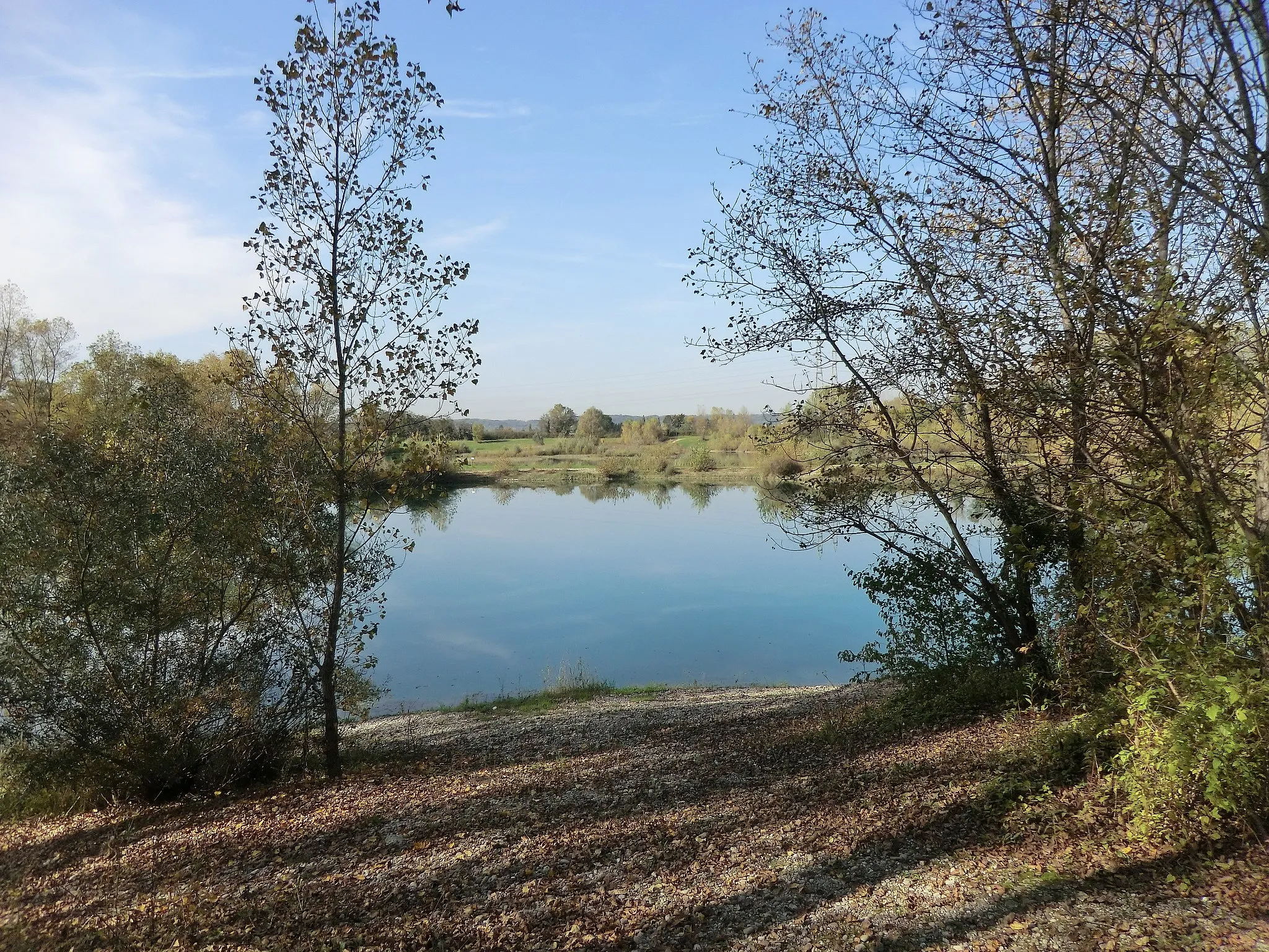
Immerse yourself in the scenic beauty of Pusignan on this gravel route
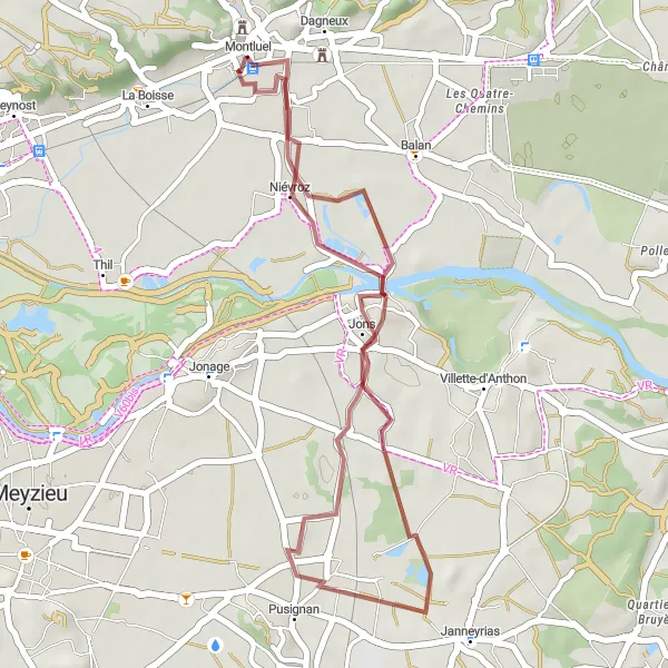
Map
Experience the scenic beauty of Pusignan on the Pusignan Excursion gravel route. Spanning 31 km with an ascent of 123 meters, this route offers a leisurely ride through breathtaking landscapes. Highlights include the Panorama St Barthélémy viewpoint, which showcases stunning natural scenery, and Niévroz, a charming village with historical architecture. Easy in terms of difficulty level, this route is perfect for cyclists of all skill levels looking to explore the area's natural splendor.
gravel
31 km
123 m
Chill
Route profile
Highlights on the route
0 km
0 km
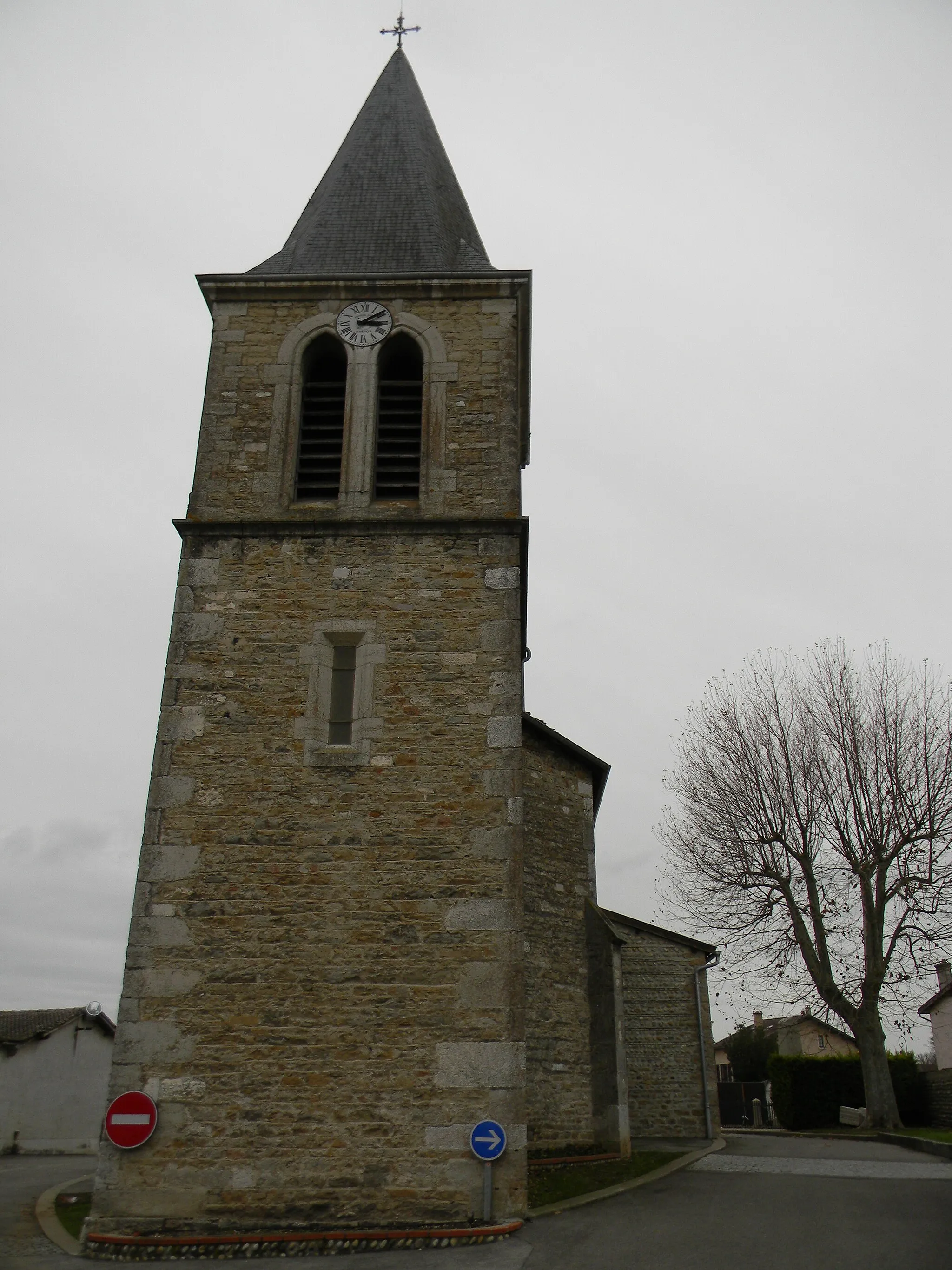
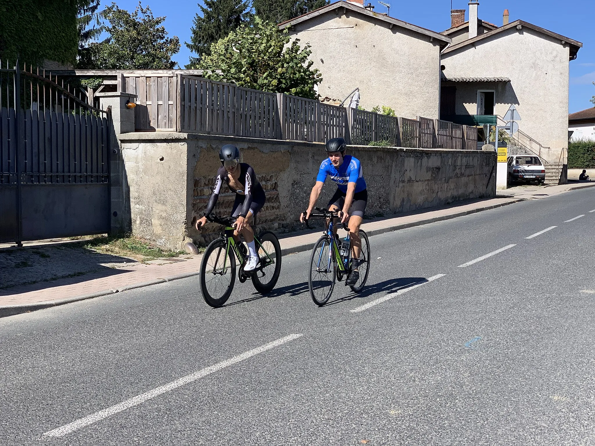
Start: Montluel Village centerMontluel: Discover the picturesque countryside of Montluel, France on two wheels
Montluel, located in Rhône-Alpes, France, offers decent cycling opportunities for both road and gravel cyclists. The surrounding countryside features rolling hills and scenic routes, providing a pleasant atmosphere for cycling. While not specifically known for any famous cycling-related spots or climbs, Montluel offers a good mix of terrain for riders to explore. In terms of its suitability for cycling, Montluel ranks as a 3.0 km
0 km
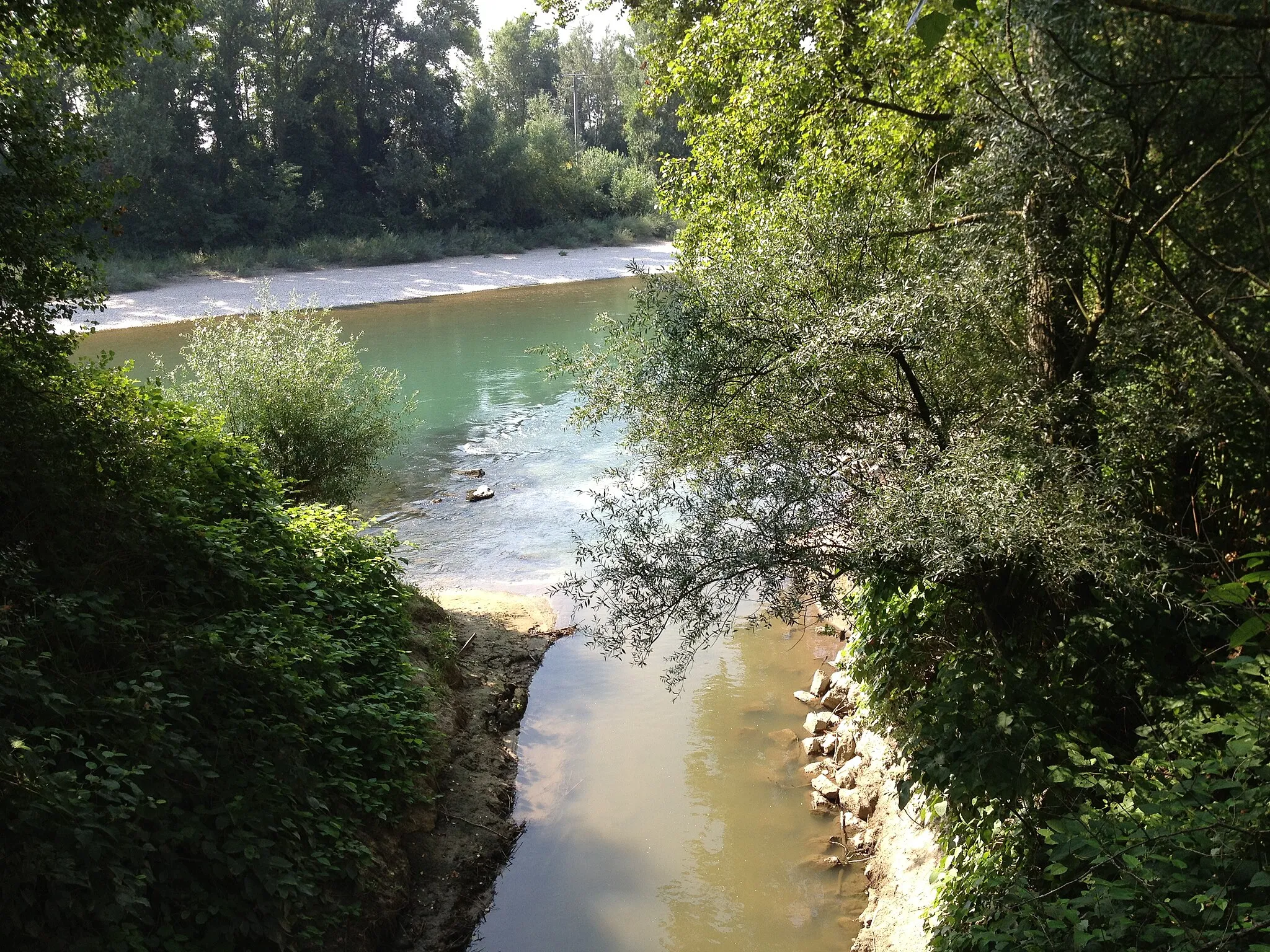
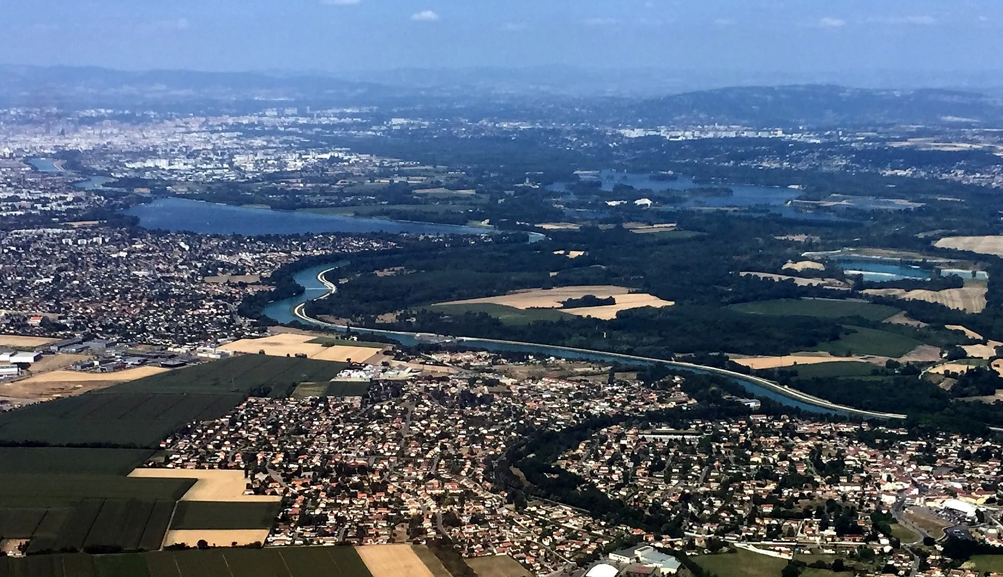
Panorama St BarthélémyViewpointEnjoy panoramic views of Pusignan and its surrounding countryside from Panorama St Barthélémy.
3 km
3 km
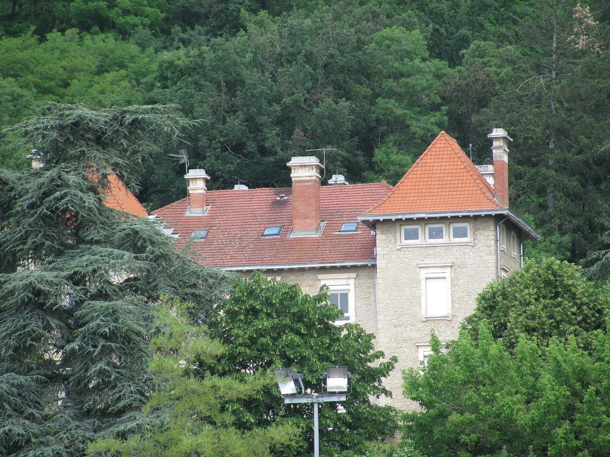
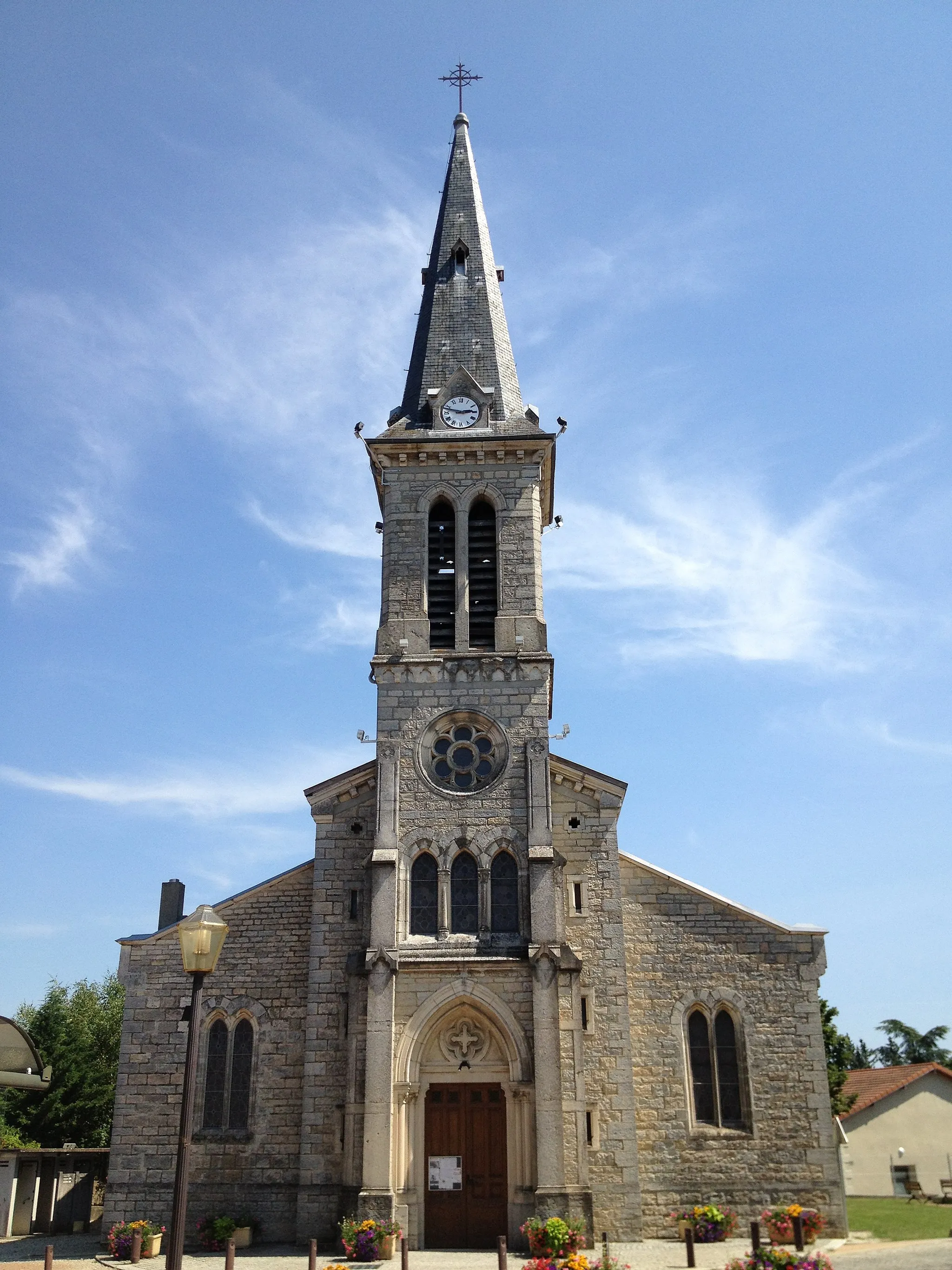
NiévrozVillageNiévroz is a quaint village known for its picturesque streets and friendly locals.
15 km
15 km
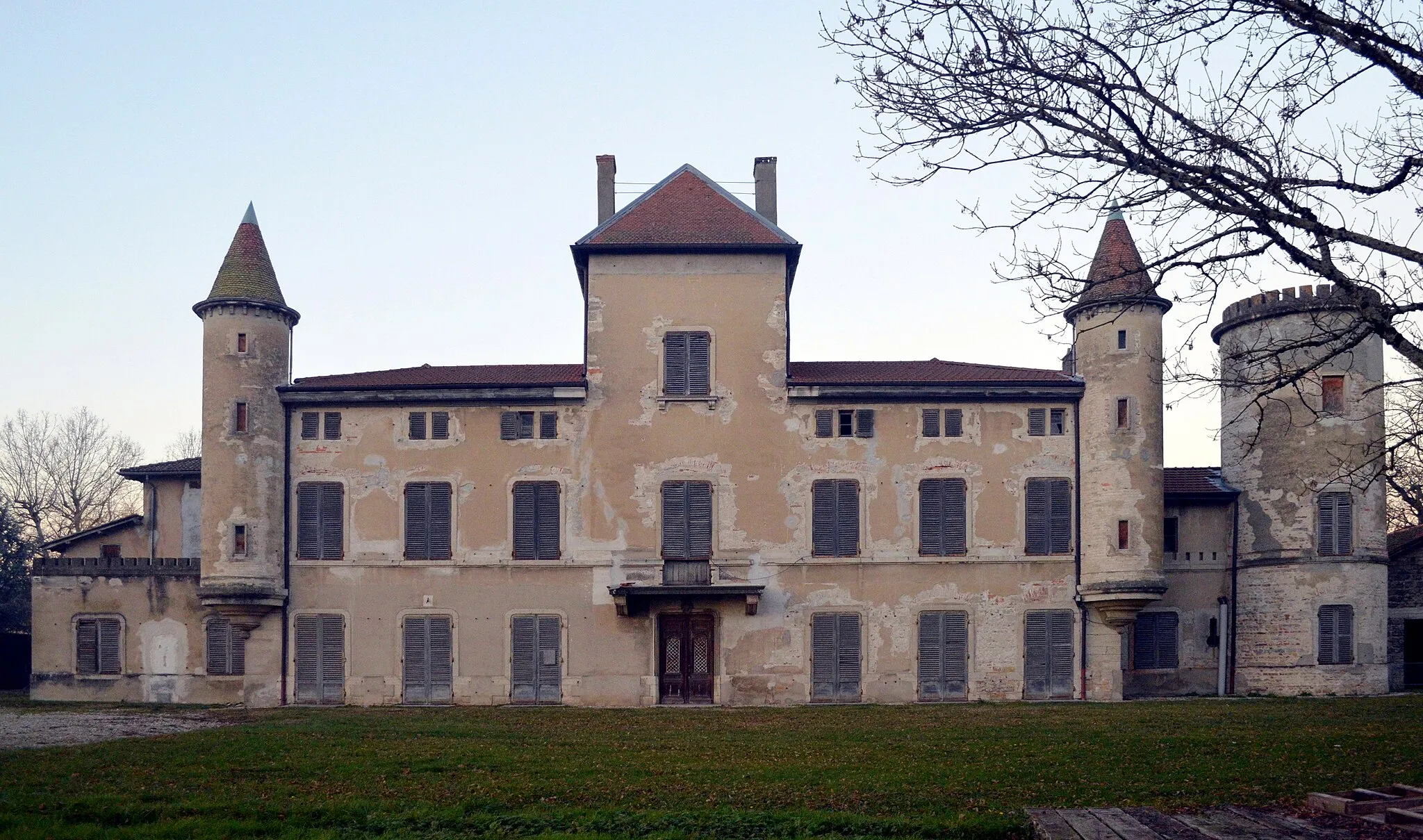
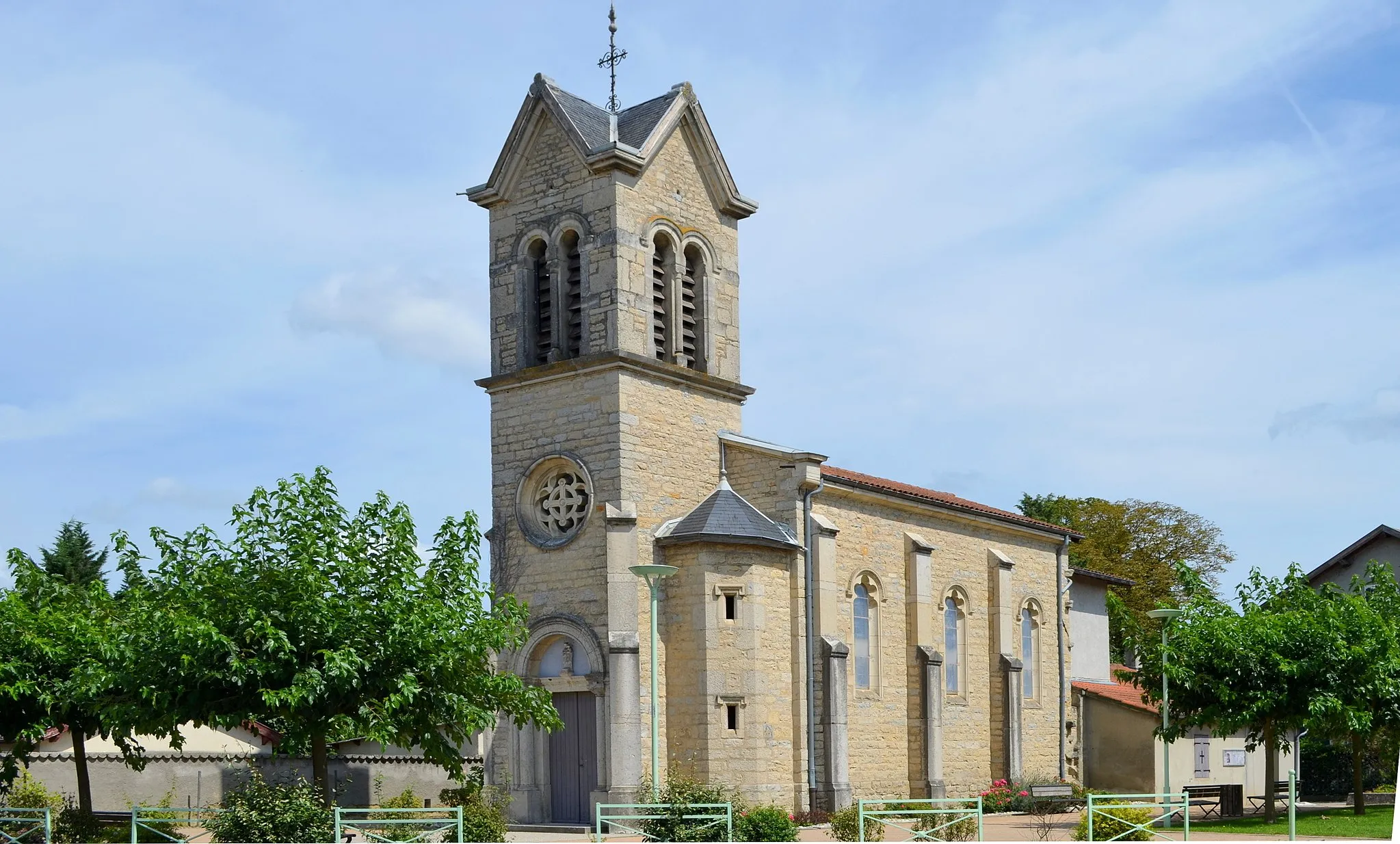
PusignanVillagePusignan exhibits a peaceful ambiance and offers beautiful natural landscapes for cyclists to enjoy.
31 km
31 km
Finish: Montluel Village centerMontluel: Discover the picturesque countryside of Montluel, France on two wheels
Cycling routes nearby: