Jons Discovery
A gravel cycling route starting from Montluel
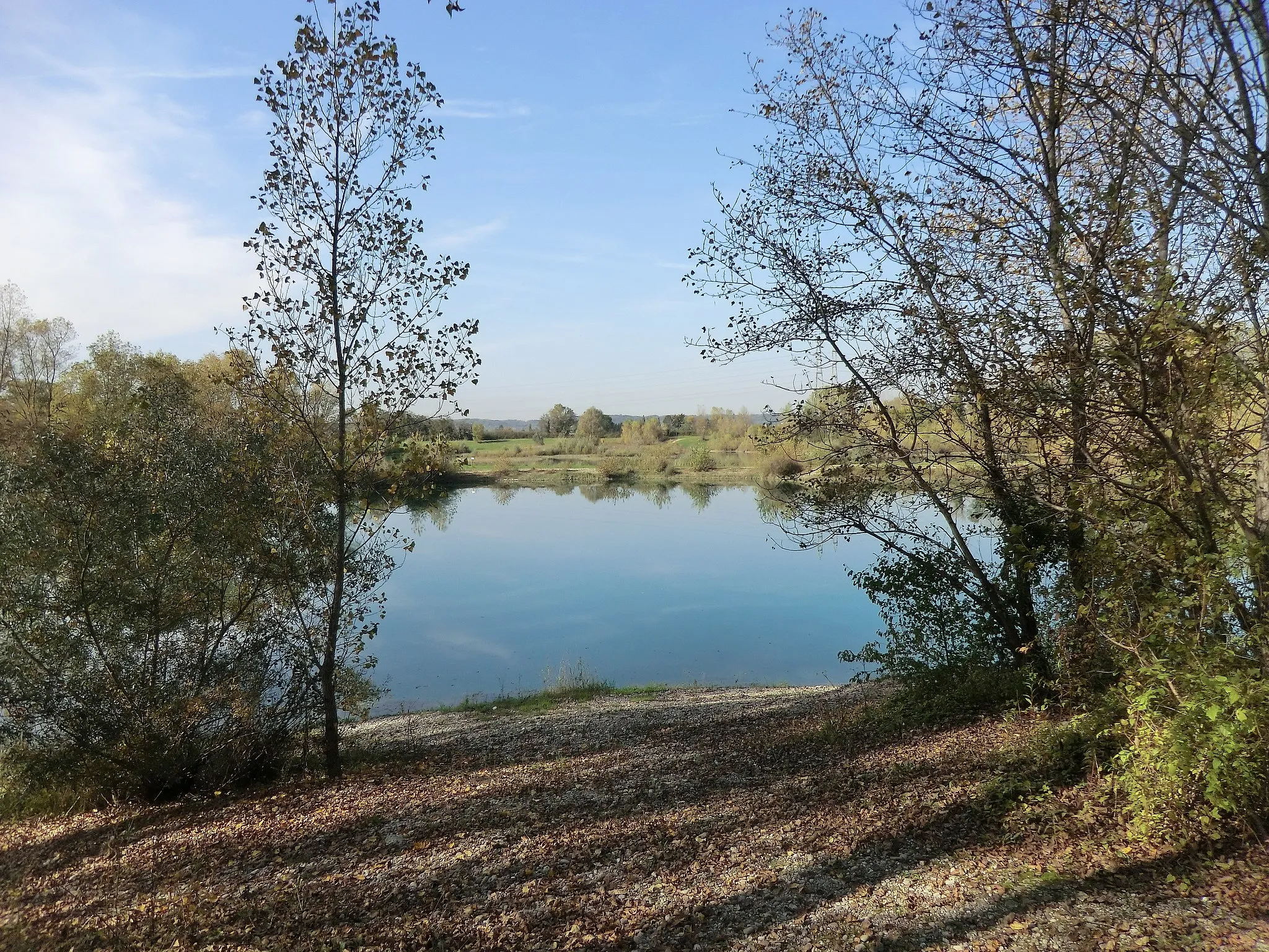
Uncover the hidden gems of Jons on this gravel route
Map
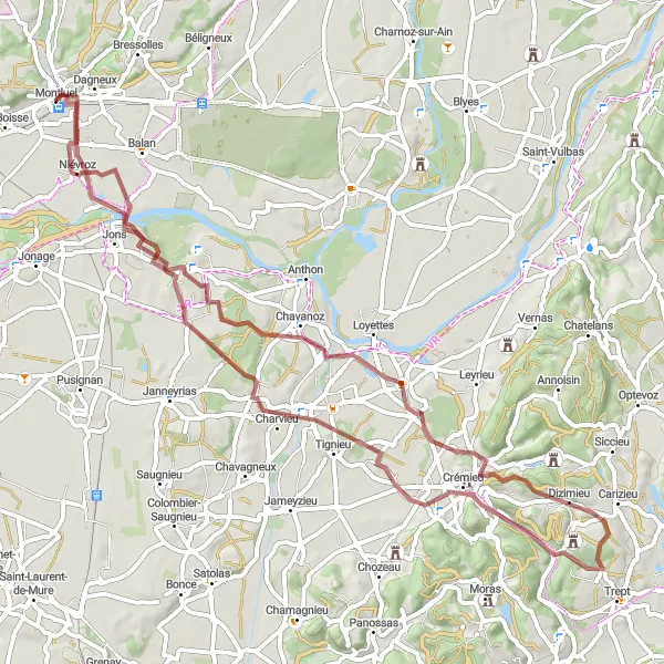
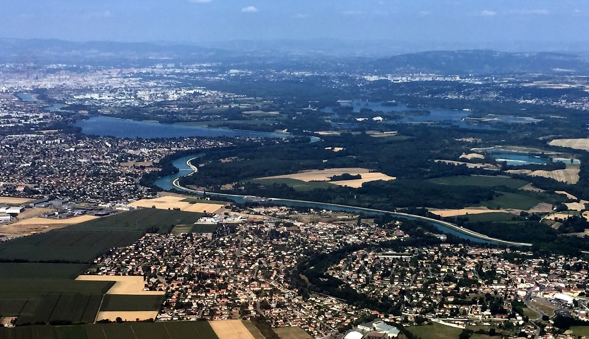
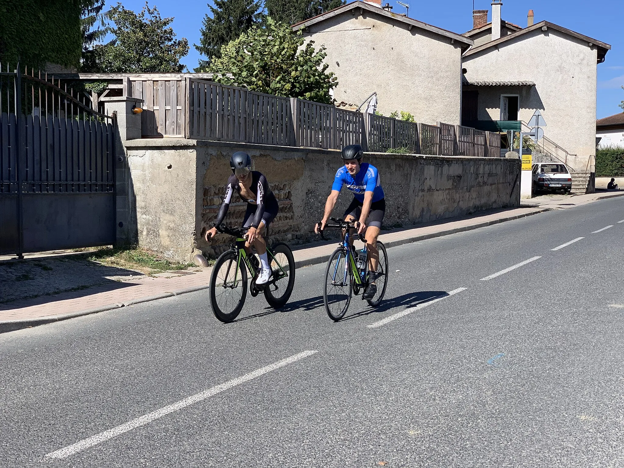
Embark on the Jons Discovery, a thrilling gravel route starting near Montluel. With a distance of 67 km and an ascent of 451 meters, this route showcases the hidden gems of Jons. Highlights along the way include Villemoirieu, known for its picturesque scenery, and Saint-Romain-de-Jalionas, a small village with a rich history. Well-suited for moderately trained amateur cyclists, this route offers an enjoyable adventure through beautiful landscapes.
gravel
67 km
451 m
Chill
Route profile
Highlights on the route
0 km
0 km
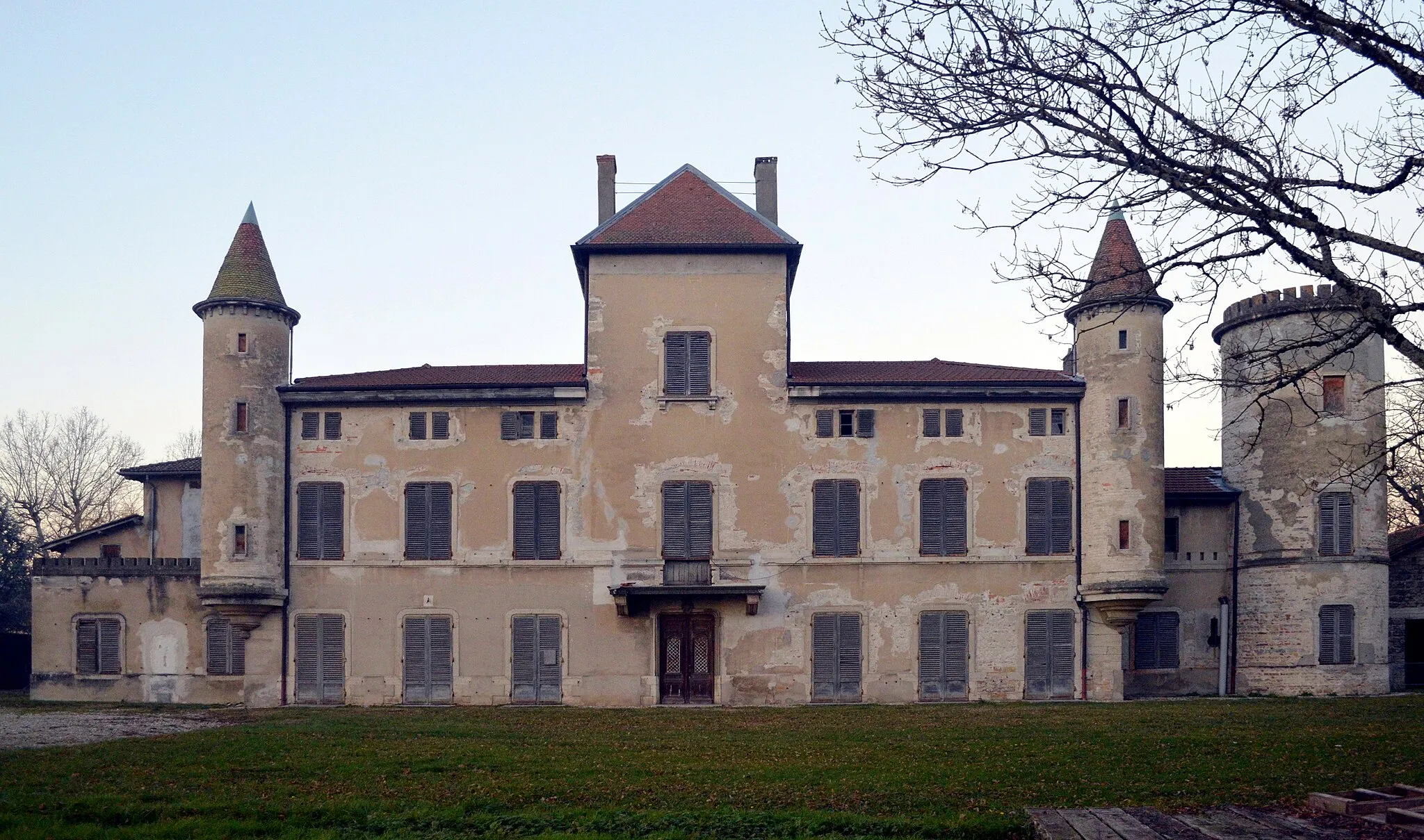
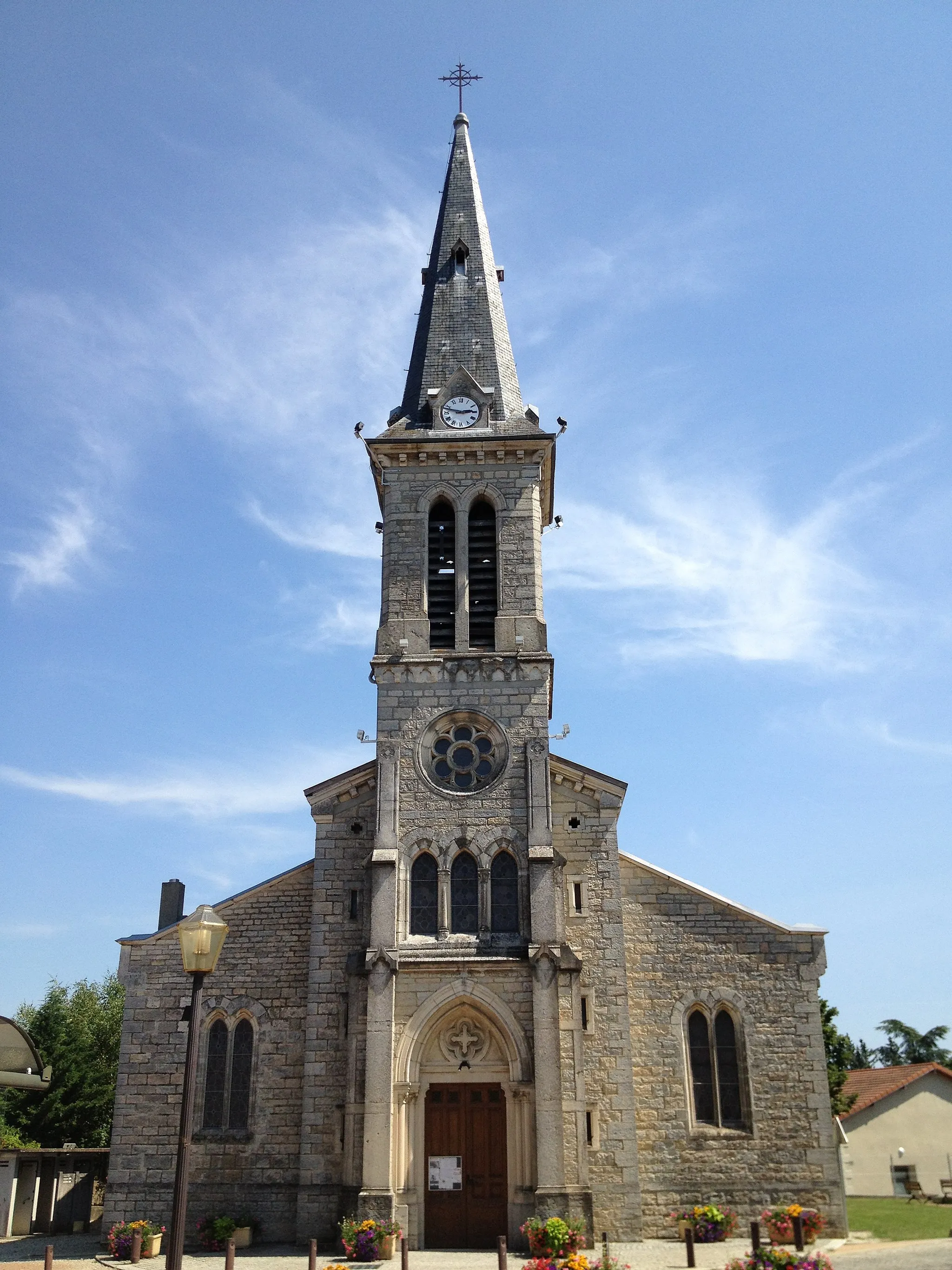
Start: Montluel Village centerMontluel: Discover the picturesque countryside of Montluel, France on two wheels
Montluel, located in Rhône-Alpes, France, offers decent cycling opportunities for both road and gravel cyclists. The surrounding countryside features rolling hills and scenic routes, providing a pleasant atmosphere for cycling. While not specifically known for any famous cycling-related spots or climbs, Montluel offers a good mix of terrain for riders to explore. In terms of its suitability for cycling, Montluel ranks as a 3.6 km
6 km
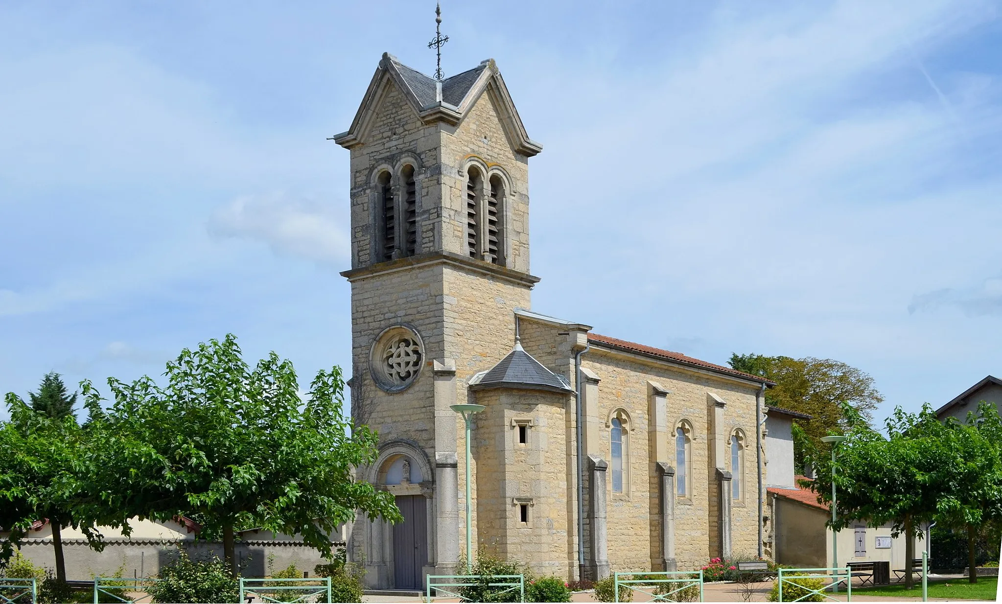
JonsVillageJons is a charming town with a unique atmosphere and friendly locals.
23 km
23 km
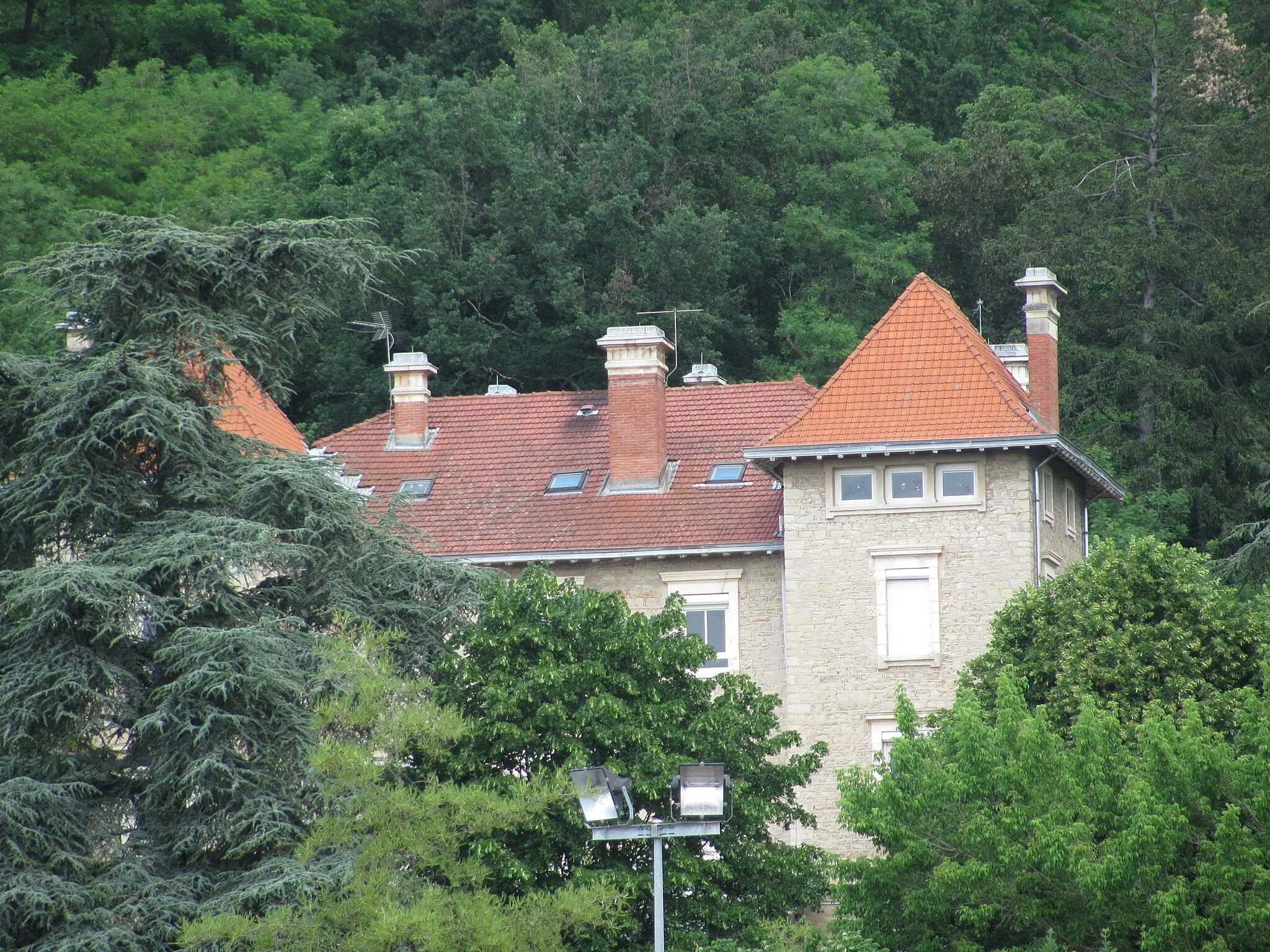
VillemoirieuVillageVillemoirieu boasts stunning views of the surrounding countryside and historic architecture.
35 km
35 km
DizimieuVillageDizimieu is a tranquil village renowned for its scenic beauty.
44 km
44 km
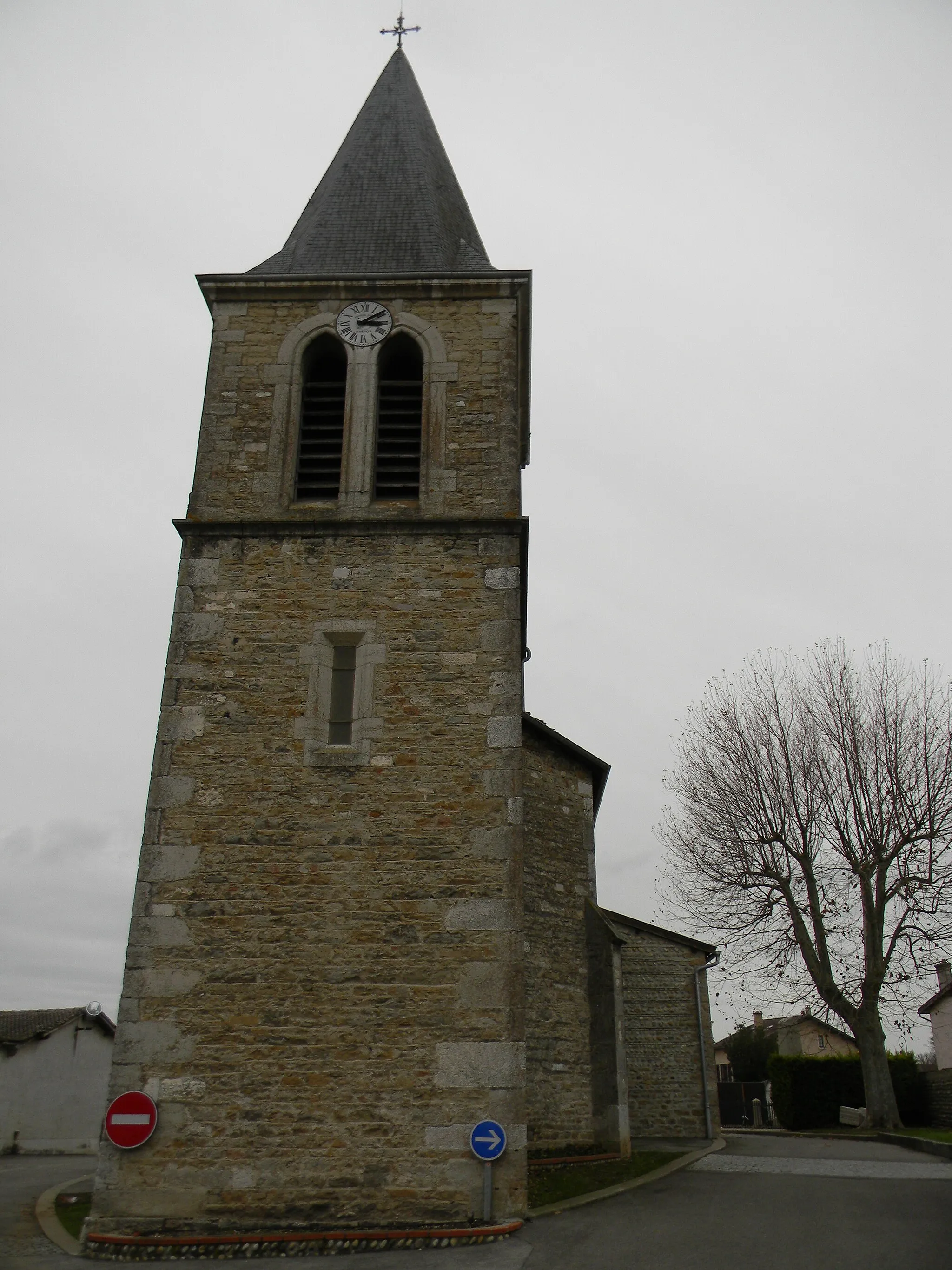
Saint-Romain-de-JalionasVillageExplore the historical charm of Saint-Romain-de-Jalionas during your ride.
62 km
62 km
NiévrozVillageNiévroz is a hidden gem showcasing traditional French architecture and idyllic streets.
67 km
67 km
Finish: Montluel Village centerMontluel: Discover the picturesque countryside of Montluel, France on two wheels
Cycling routes nearby: