Boisset-Saint-Priest Loop
A road cycling route starting from Saint-Cyprien
Cycling through beautiful countryside and challenging climbs
Map
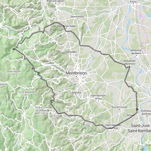
This circular route starting near Saint-Cyprien takes in the charming village of Boisset-Saint-Priest and offers breathtaking views from the summit of Pic de Chaudabry. The route includes a mix of flat sections and challenging climbs, making it suitable for experienced cyclists. With a distance of 95km and an ascent of 1161m, this route provides a good challenge for those looking to push their limits. Overall, it offers a scenic and rewarding cycling experience.
road
95 km
1161 m
Tough
Route profile
Highlights on the route
0 km
0 km
Start: Saint-Cyprien Village centerSaint-Cyprien: Embark on a journey of adrenaline and natural wonders as you cycle through the Rhône-Alpes gems from Saint-Cyprien.
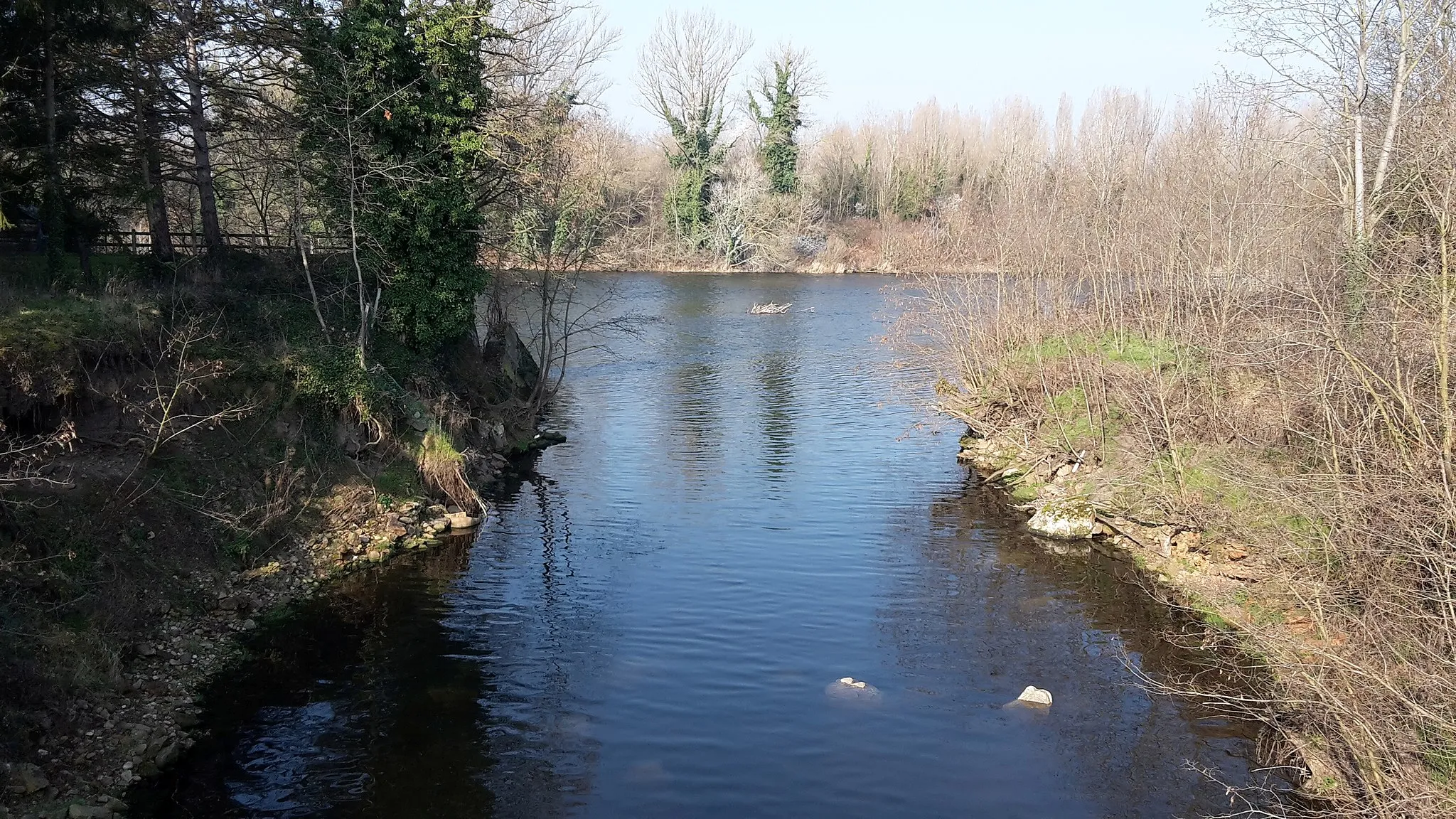
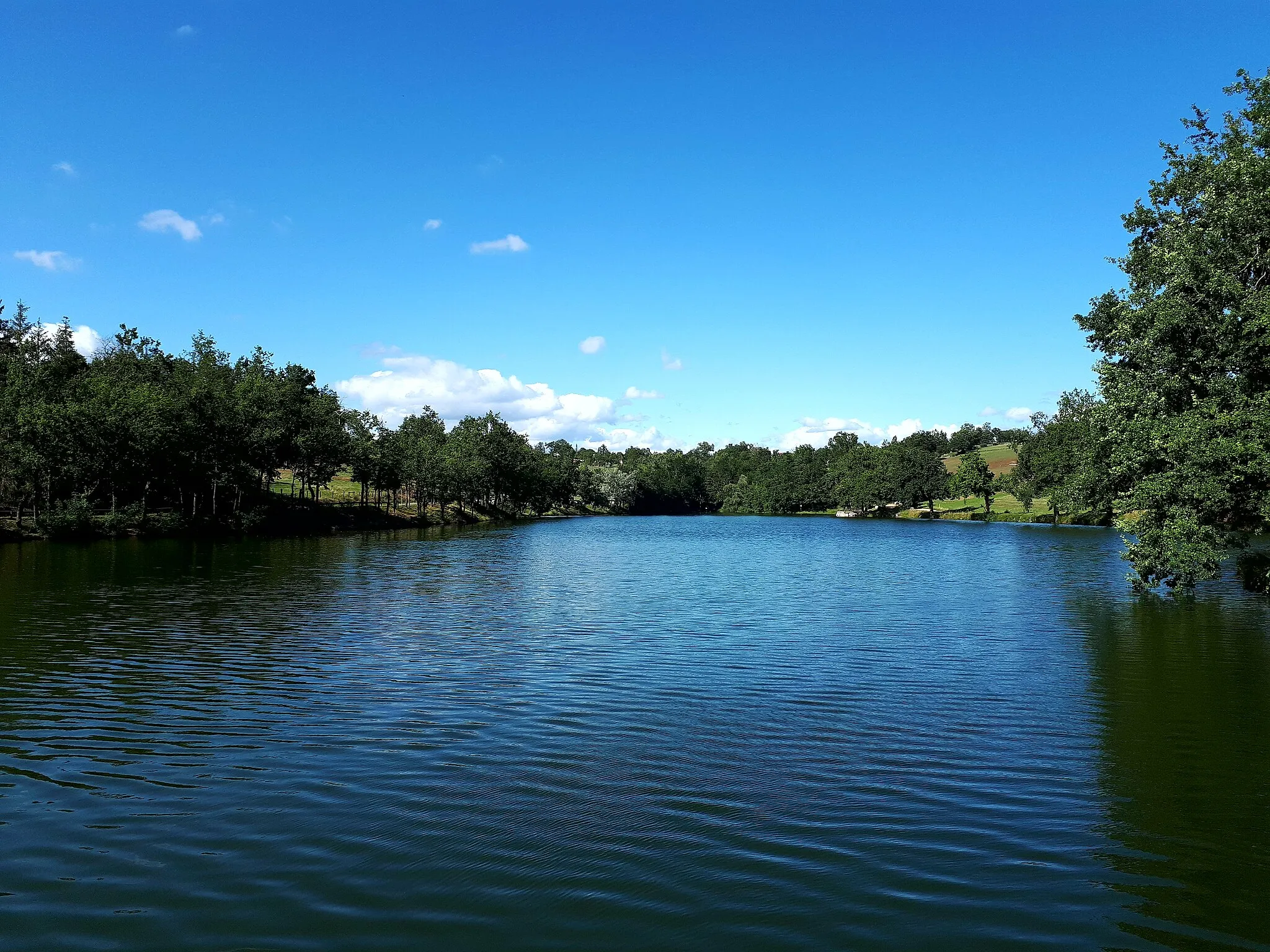
Saint-Cyprien, located in the Rhône-Alpes region of France, is a cyclist's haven offering an array of road and gravel routes. The locality is surrounded by breathtaking mountain ranges, including the Chartreuse Massif and Belledonne Range, providing dramatic backdrops for cycling adventures. Nearby, cyclists can test their skills on the winding roads leading to Col de Porte, a challenging climb known for its stunning vistas. Furthermore, Saint-Cyprien is renowned for its idyllic lakes, which offer the perfect spot for post-ride relaxation. Immerse yourself in the natural beauty and thrilling cycling opportunities of Saint-Cyprien.13 km
13 km
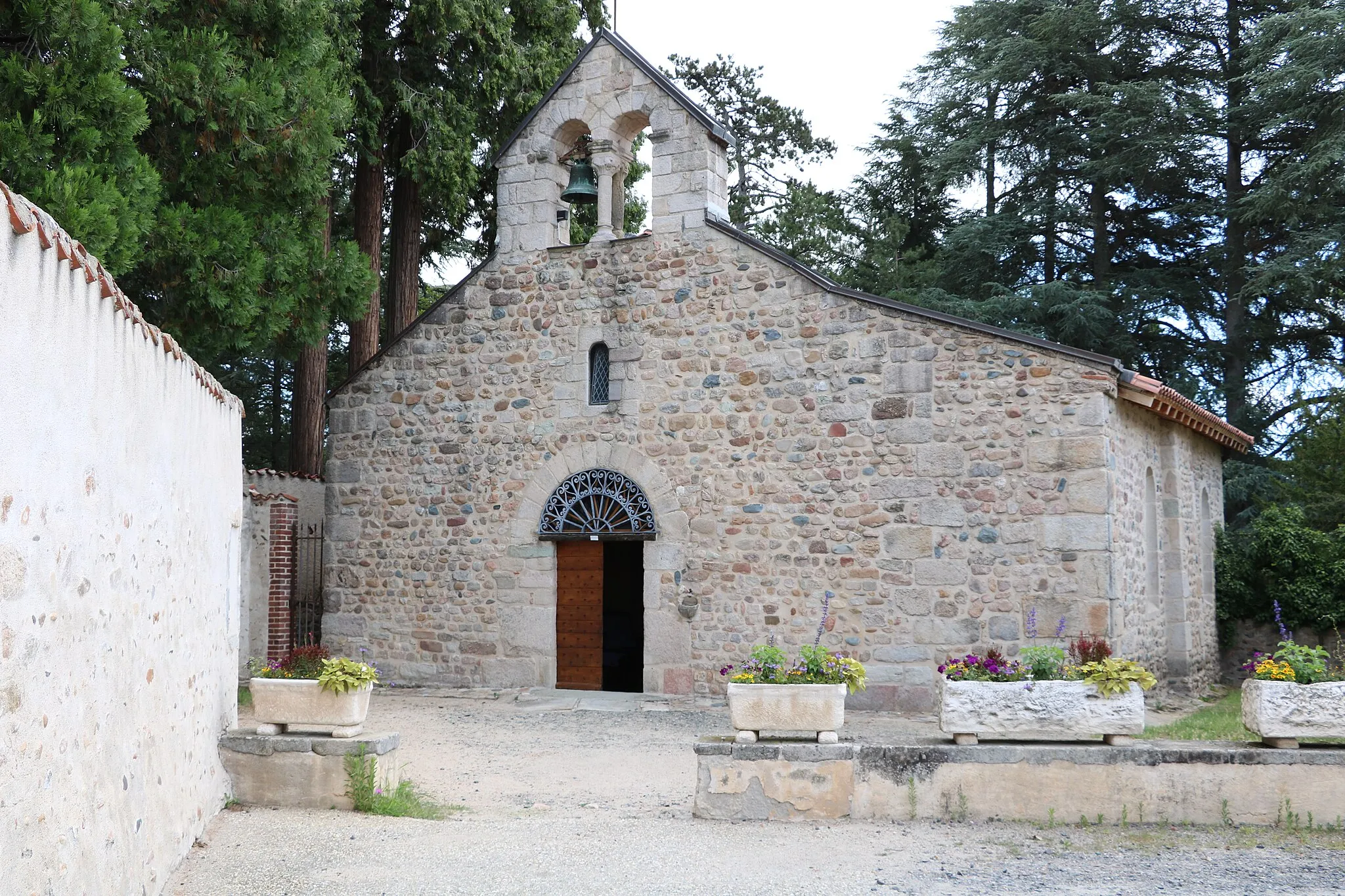
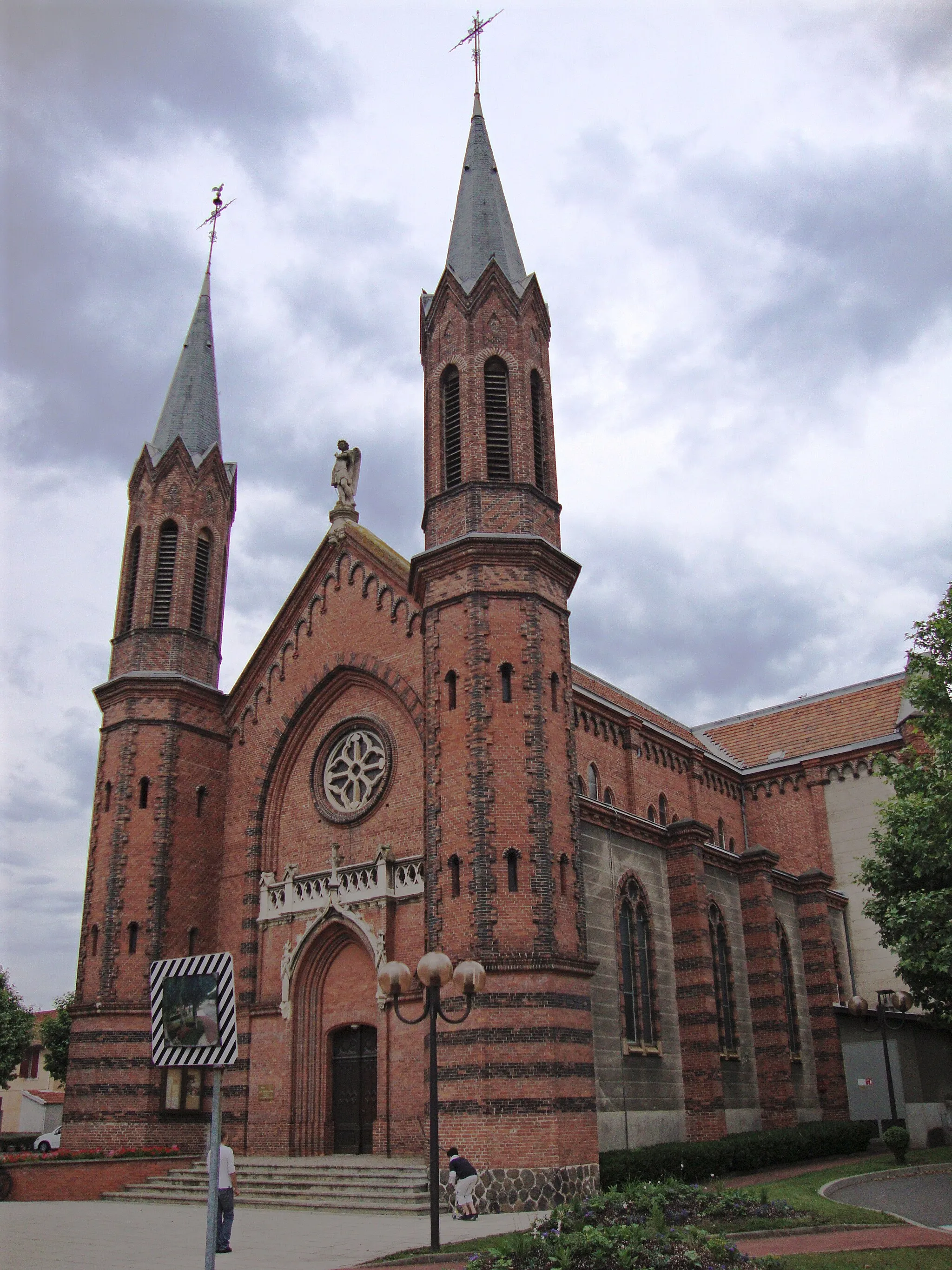
Boisset-Saint-PriestVillageLocated on the route, Boisset-Saint-Priest is a picturesque village with charming architecture and historical landmarks. Take a break and explore its rich history and culture.
23 km
23 km
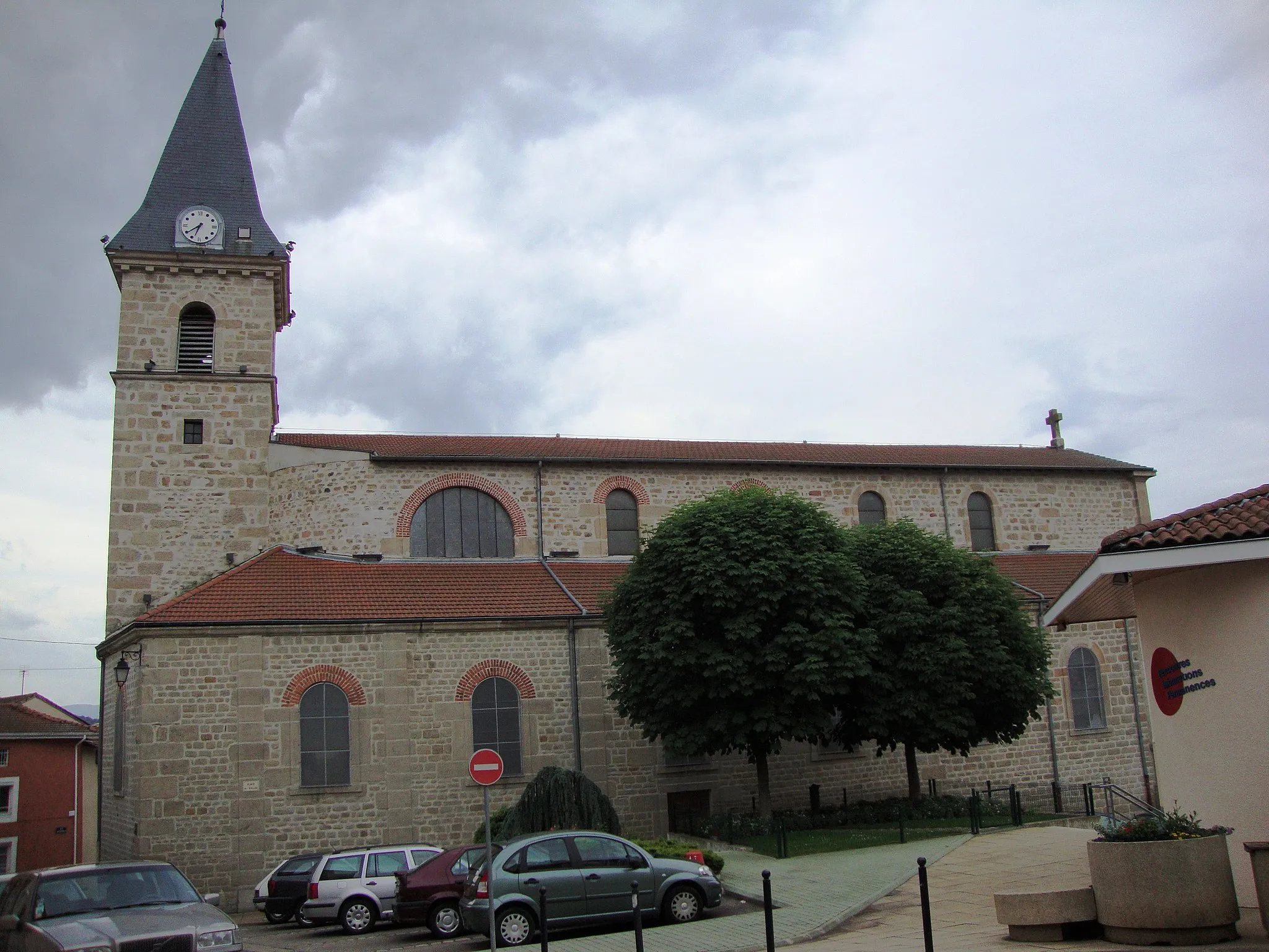
Chazelles-sur-LavieuVillageChazelles-sur-Lavieu is a highlight along the route, offering stunning views of the surrounding countryside. Take a moment to appreciate the natural beauty of this area.
36 km
36 km
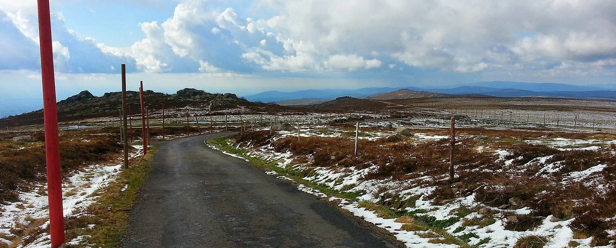
Pic de Chaudabry1063 mPeakPic de Chaudabry is the highest point of the route, offering panoramic views that stretch for miles. This highlight is worth the climb for the breathtaking scenery.
49 km
49 km
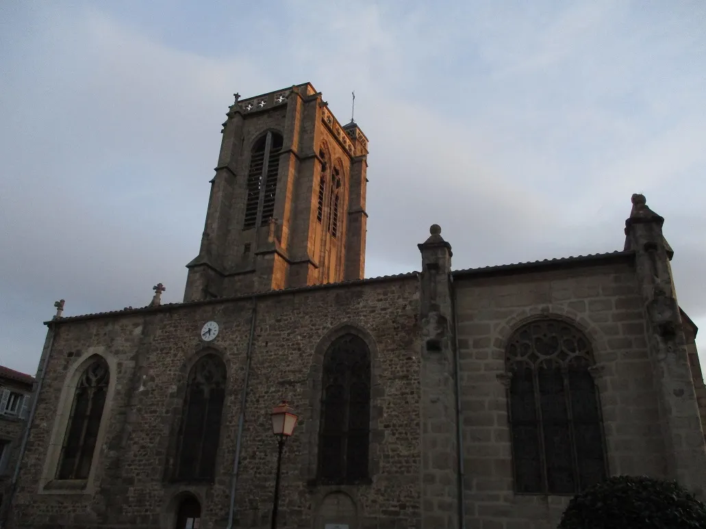
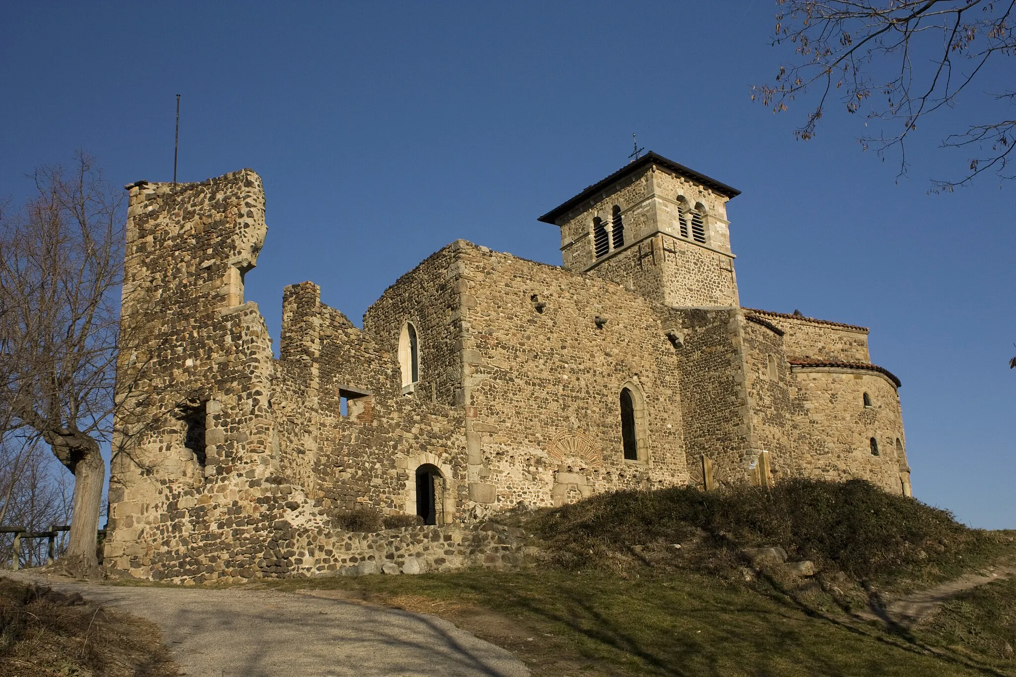
SauvainVillageSauvain is a charming village with traditional architecture and a peaceful atmosphere. Stop by and indulge in the local cuisine or take a leisurely stroll through the narrow streets.
56 km
56 km
Pic de Purambard839 mPeakPic de Purambard is a prominent landmark along the route, providing stunning views of the surrounding landscapes. This highlight offers a unique perspective of the region.
68 km
68 km
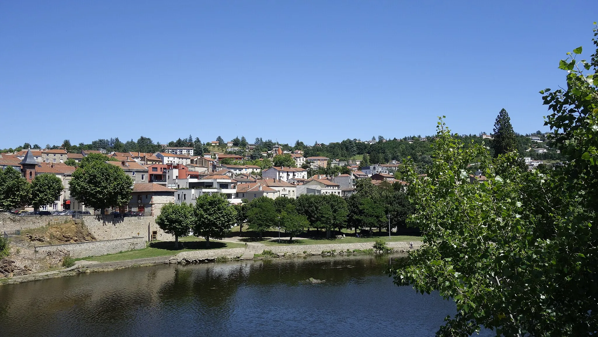
Chalain-d'UzoreVillageChalain-d'Uzore is a small village with a rich history and beautiful countryside. Take a moment to explore the area and discover hidden gems along the route.
86 km
86 km
L'Hôpital-le-GrandVillageL'Hôpital-le-Grand is a highlight known for its beautiful architecture and historical significance. Learn about the region's past while enjoying the scenic views.
95 km
95 km
Finish: Saint-Cyprien Village centerSaint-Cyprien: Embark on a journey of adrenaline and natural wonders as you cycle through the Rhône-Alpes gems from Saint-Cyprien.
Cycling routes from Saint-Cyprien:
Boisset-Saint-Priest Loop A Scenic Tour of Saint-Cyprien and Beyond Leisurely Ride around Boisset-lès-Montrond Gravel Adventure to Château de Vassalieux Gravel Adventure through Rhône-Alpes Venture into the Heart of Rhône-Alpes Gravel Adventure around Saint-Cyprien The Mountains and Valleys of Saint-Cyprien Ambert Adventure The Pinnacle of Cycling: Chenereilles
Cycling routes nearby: