Gorges and Heights
A gravel cycling route starting from Saint-Galmier
Explore the natural wonders of the Gorges of the Loire and the heights of the Monts du Lyonnais
Map
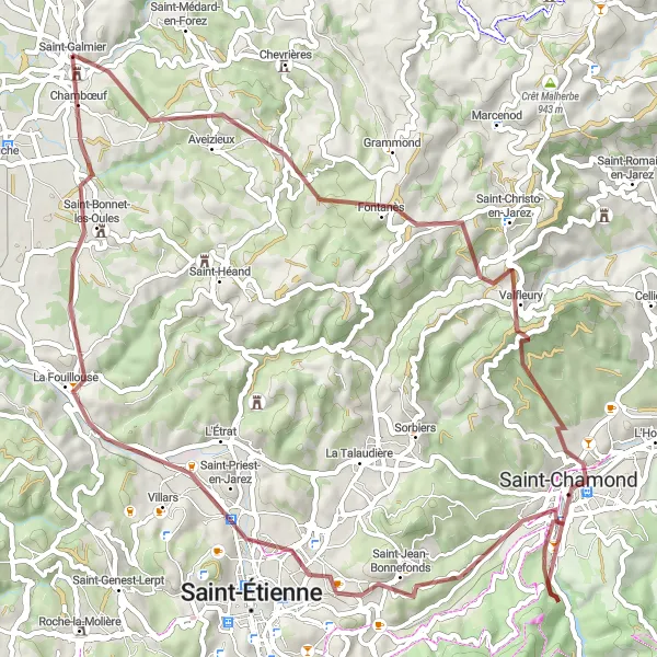
Embark on a gravel adventure through the stunning Gorges of the Loire and enjoy breathtaking views from the heights of the Monts du Lyonnais. With a moderate ascent of 1285 meters over 66 kilometers, this route offers a challenging yet rewarding experience. Highlights include Aveizieux, known for its medieval fortress ruins, and Crêt Saint-Georges, offering panoramic views of the surrounding landscape.
gravel
66 km
1285 m
Tough
Route profile
Highlights on the route
0 km
0 km
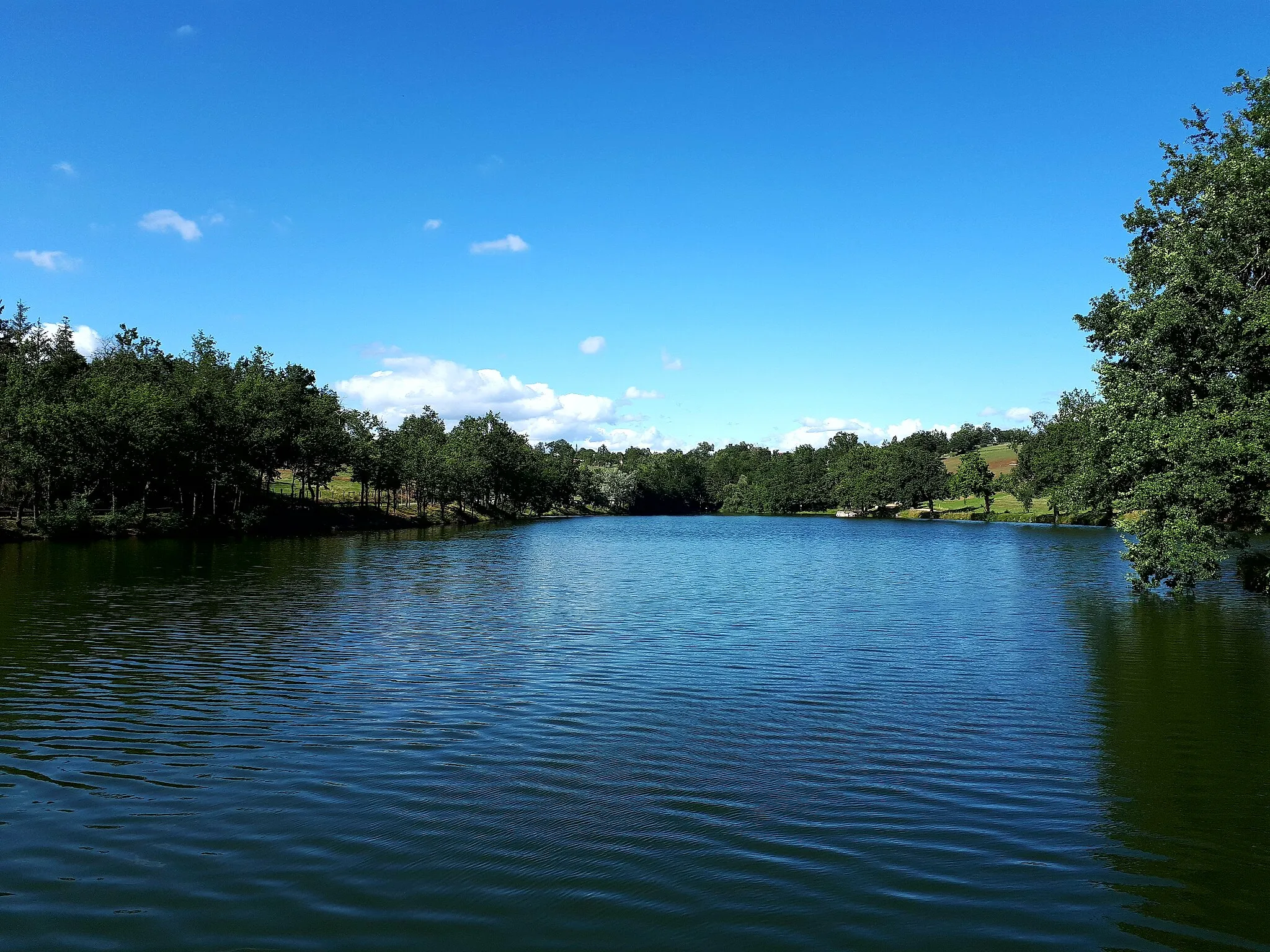
Start: Saint-Galmier Village centerSaint-Galmier: Discover cycling paradise in tranquil Saint-Galmier, France.
Saint-Galmier in Rhône-Alpes, France is a hidden gem for road and gravel cyclists. Situated in the Loire region, Saint-Galmier offers a mix of flat and hilly terrain, perfect for various cycling experiences. The locality is known for its thermal springs, providing opportunities for post-ride relaxation. Saint-Galmier is also home to the well-known Col de la Croix de Chaubouret, a challenging climb favored by avid cyclists. With its diverse landscape and serene atmosphere, Saint-Galmier receives a ranking of 4.6 km
6 km
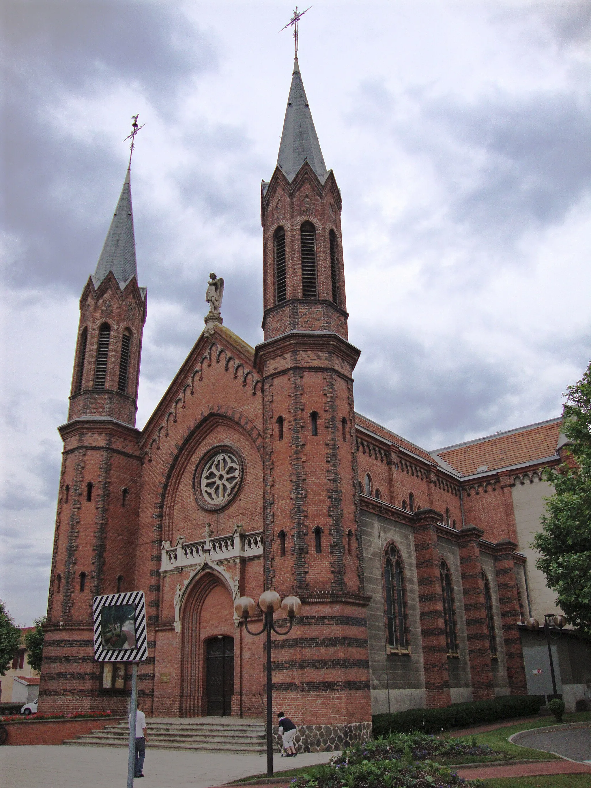
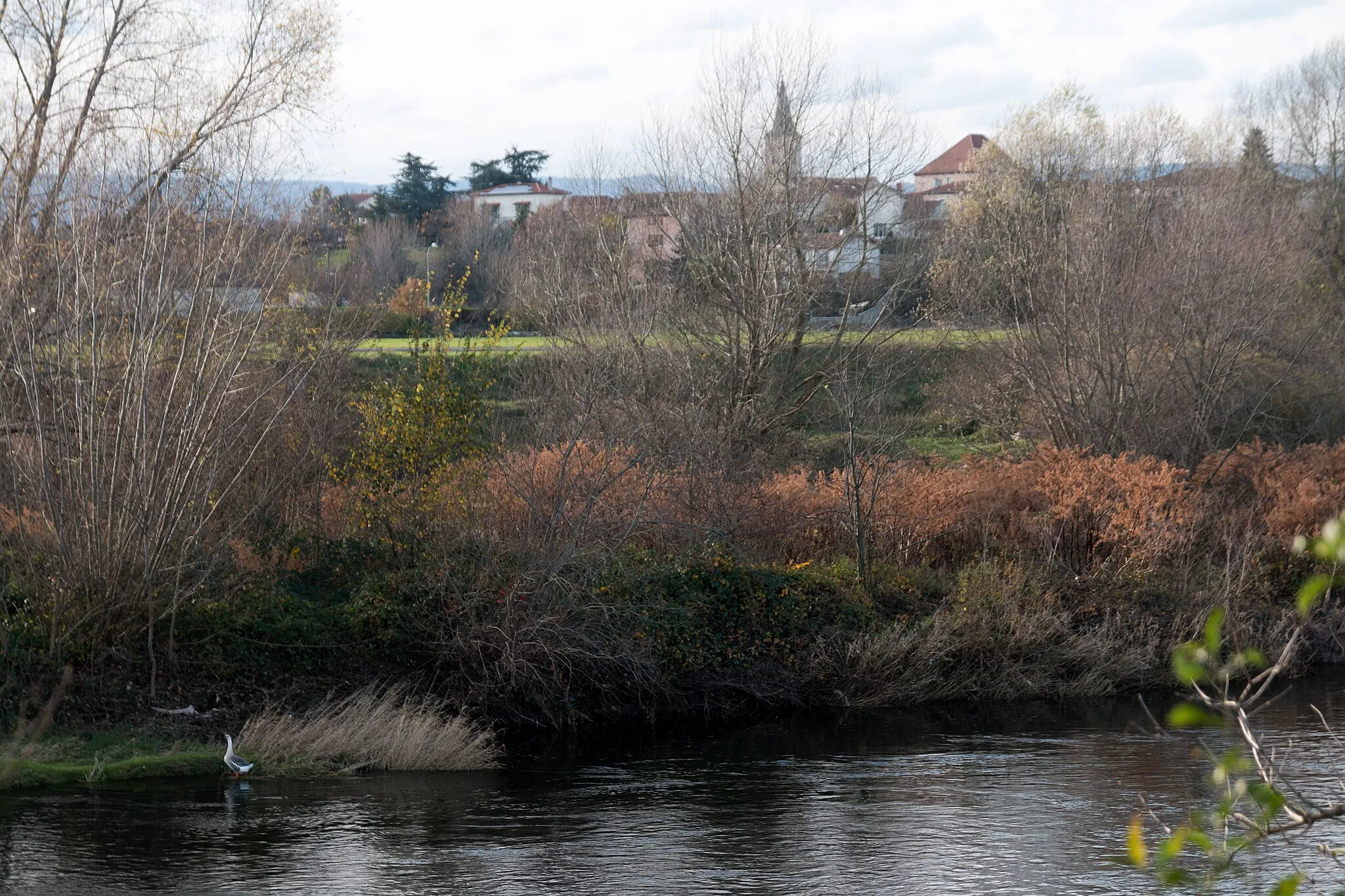
AveizieuxVillageAveizieux is a charming village with a rich history, featuring the ruins of a medieval fortress, narrow streets, and quaint stone houses.
12 km
12 km
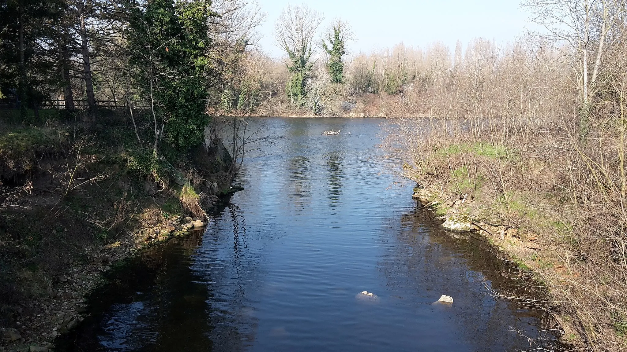
FontanèsVillageFontanès is a small and peaceful village surrounded by rolling meadows and idyllic landscapes, perfect for a quiet and restful break during your ride.
20 km
20 km
Crêt Saint-Georges817 mPeakCrêt Saint-Georges is the highest point of the Monts du Lyonnais, offering breathtaking panoramic views over the surrounding countryside and the distant Alps.
26 km
26 km
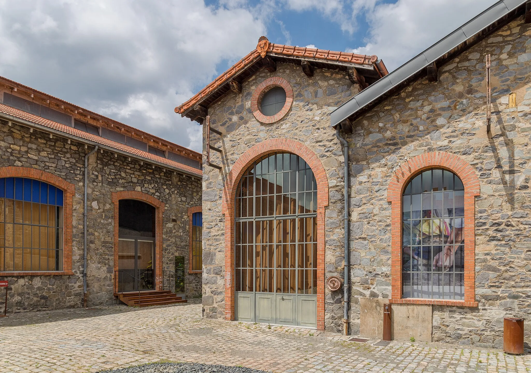
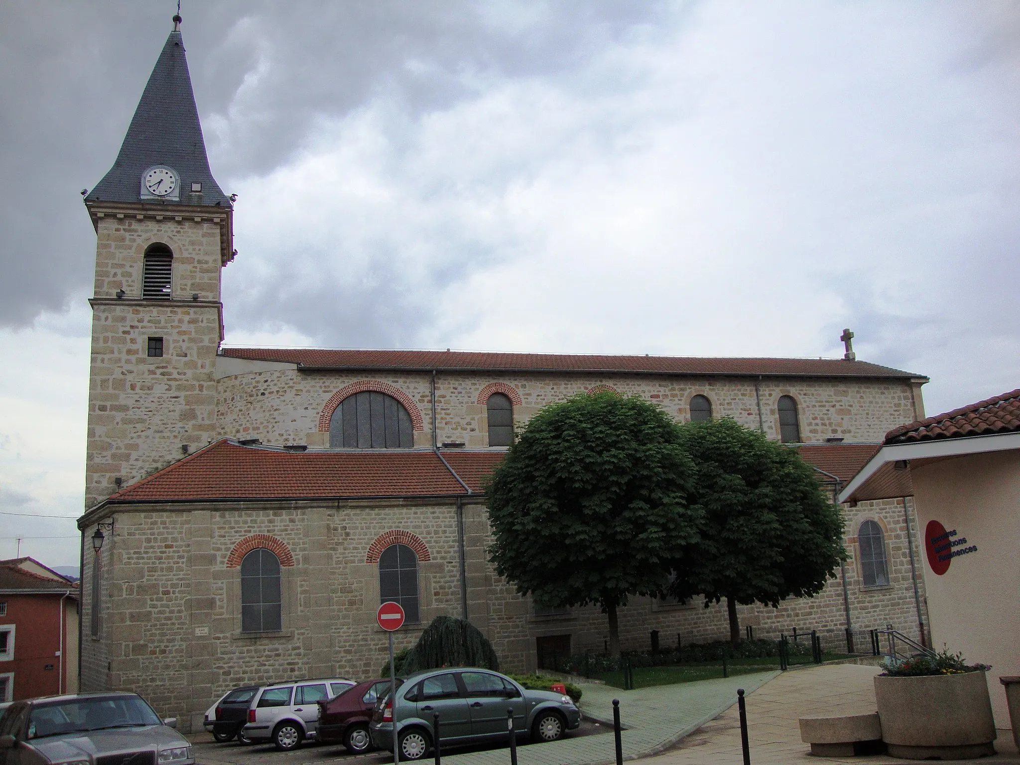
Saint-ChamondTownSaint-Chamond is a vibrant town known for its industrial heritage, including the historic Forges et Laminoirs de la Marine ironworks.
41 km
41 km
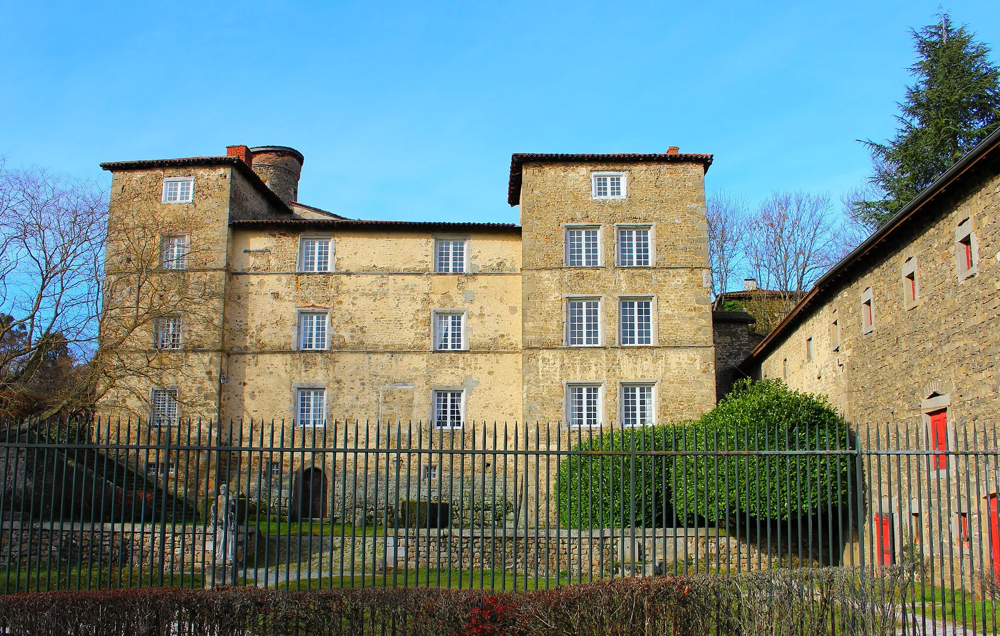
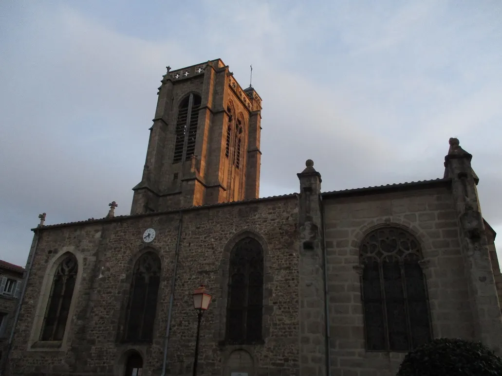
Saint-Jean-BonnefondsVillageSaint-Jean-Bonnefonds is a charming village with a rich history, featuring narrow streets, traditional architecture, and beautiful countryside surroundings.
46 km
46 km
Tour observatoireViewpointTour observatoire is an observation tower offering a majestic 360-degree view of the stunning landscapes and surrounding towns of the Forez region.
66 km
66 km
Saint-GalmierVillageSaint-Galmier, the starting and ending point of this route, is a lively town known for its famous mineral water and its annual Balad'Gers festival.
66 km
66 km
Finish: Saint-Galmier Village centerSaint-Galmier: Discover cycling paradise in tranquil Saint-Galmier, France.
Cycling routes from Saint-Galmier:
Cycling routes nearby: