Exploring Nature on Gravel Paths
A gravel cycling route starting from Saint-Jean-Bonnefonds
Immerse yourself in the natural beauty of Rhône-Alpes while tackling challenging gravel routes
Map

These gravel routes offer the perfect opportunity to experience the breathtaking natural beauty of Rhône-Alpes. With an ascent of 2307 m and a total distance of 75 km, these routes are suitable for experienced cyclists seeking a thrilling adventure. The epicness rating of these routes is 4, as they showcase the region's diverse landscapes and stunning vistas. Highlights along the route include Le Bessat, Croix de Chaubouret, Col du Banchet, Saint-Marcel-lès-Annonay, Crêt de la Perdrix, and Saint-Chamond. These locations provide a mix of panoramic views, secluded natural wonders, and cultural points of interest.
gravel
75 km
2307 m
Savage
Route profile
Highlights on the route
0 km
0 km
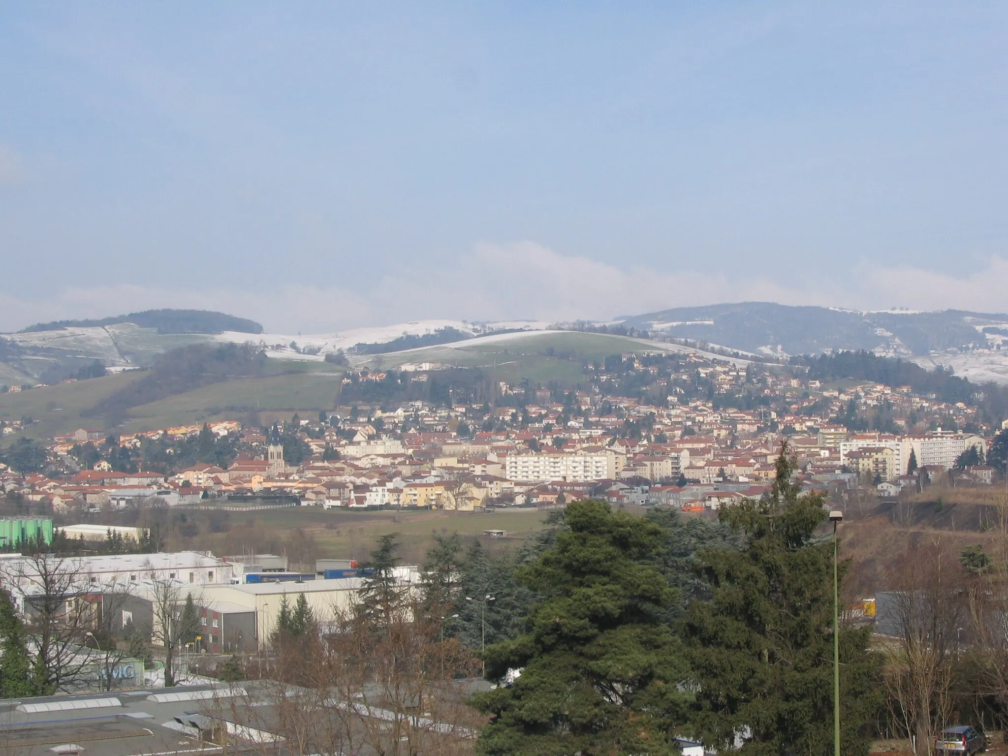
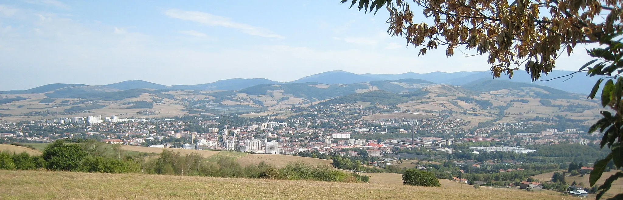
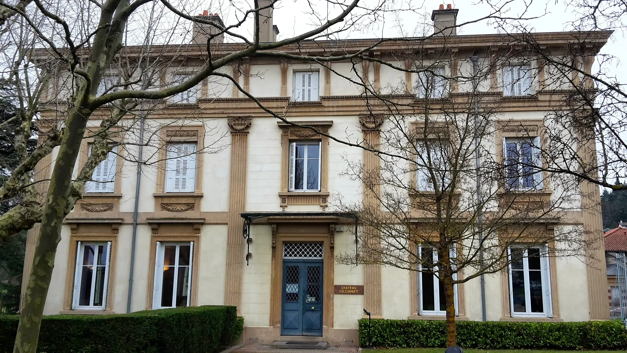
Start: Saint-Jean-Bonnefonds Village centerSaint-Jean-Bonnefonds: Diverse terrain with urban and rural landscapes, featuring the famous Col de la République.
Saint-Jean-Bonnefonds is a region in Rhône-Alpes, France. This locality offers a mix of urban and rural landscapes, making it suitable for both road and gravel cycling. Cyclists can explore the charming villages and rolling hills in the area, as well as enjoy rides through the picturesque countryside. The hilly terrain provides opportunities for both challenging climbs and thrilling descents. One of the well-known cycling spots nearby is Col de la République, a legendary climb often featured in professional cycling races. With its diverse terrain and accessibility to various routes, Saint-Jean-Bonnefonds is a popular destination for cyclists of all levels.15 km
15 km
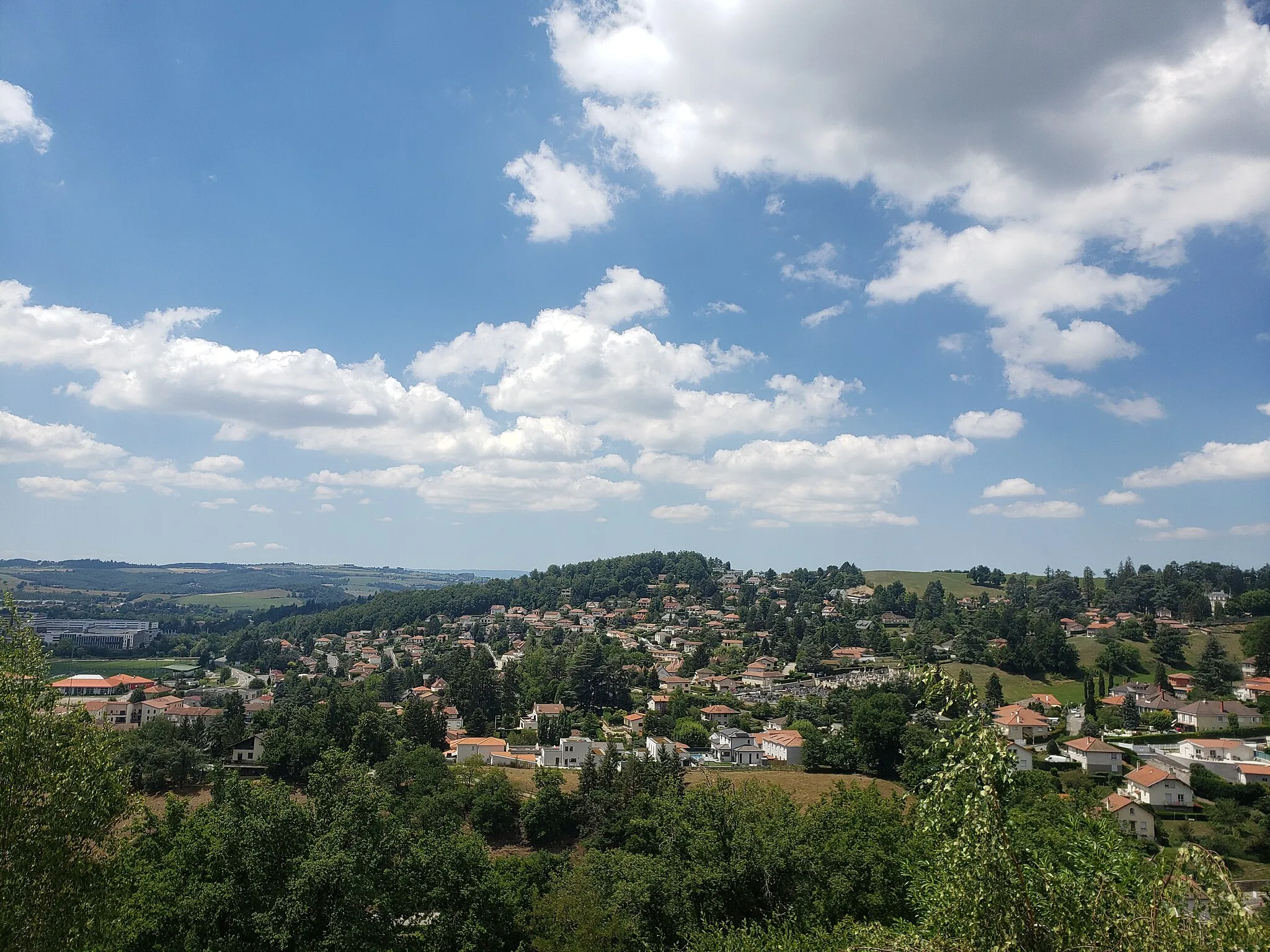
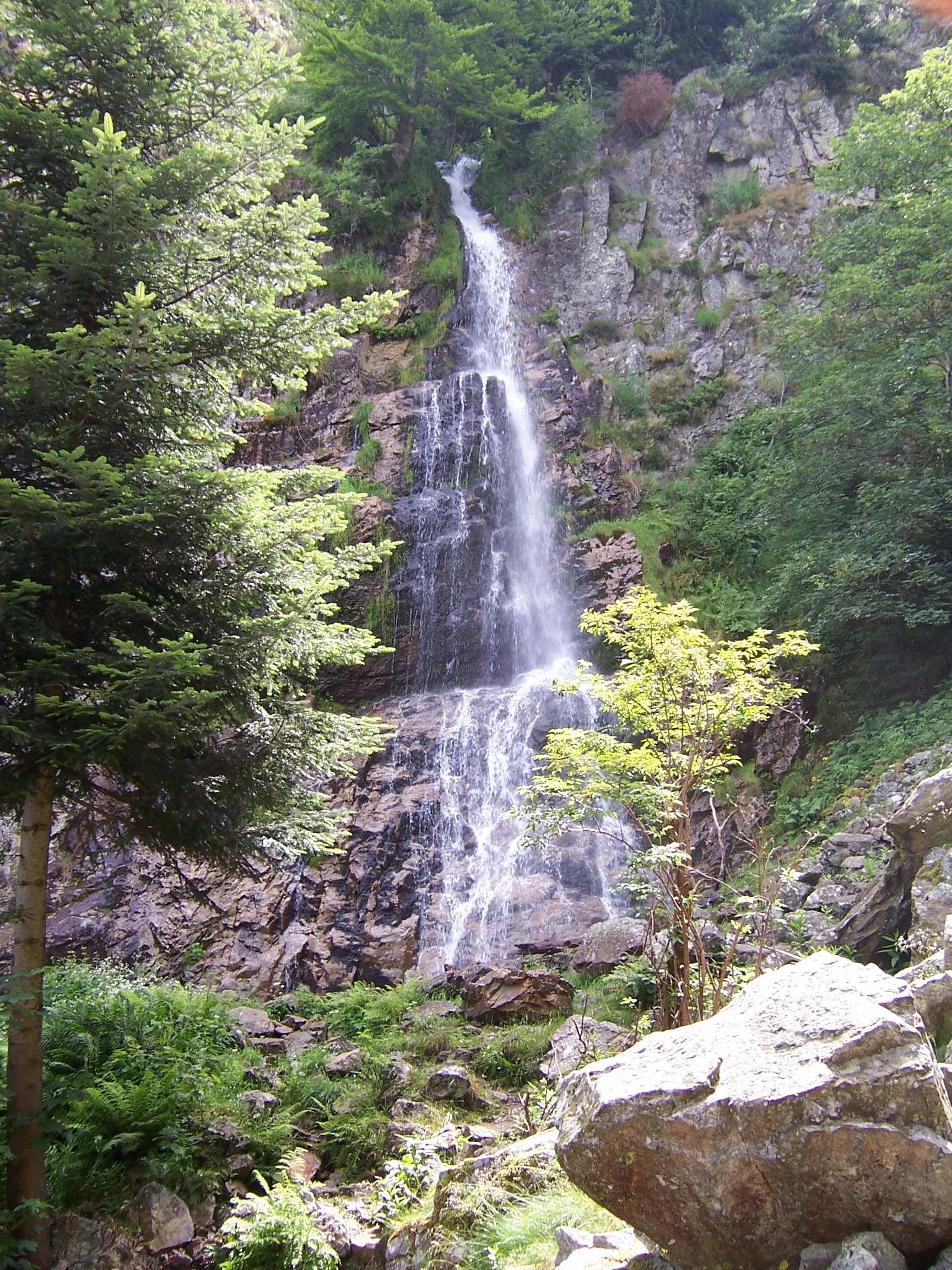
Le BessatVillageLe Bessat is a charming village located in the heart of the Pilat Natural Park, surrounded by dense forests and picturesque hiking trails.
16 km
16 km
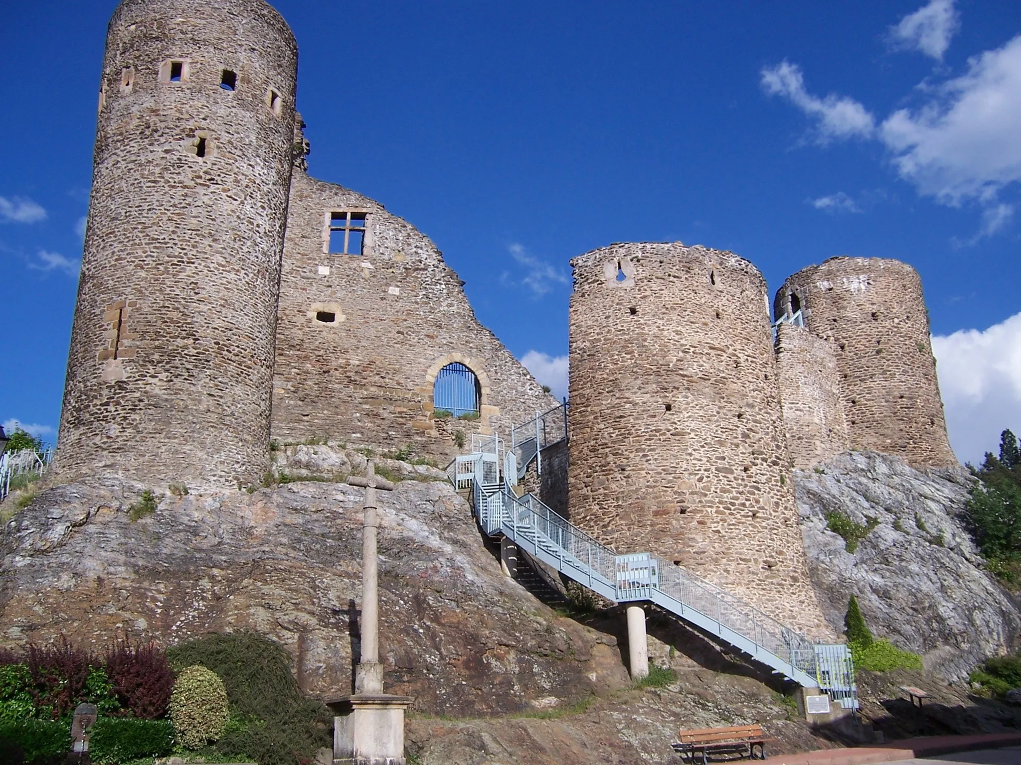
Croix de Chaubouret1201 mMountain PassCroix de Chaubouret is a stunning viewpoint offering panoramic views of the surrounding mountain ranges, including the Mont Pilat massif.
27 km
27 km
Col du Banchet678 mMountain PassCol du Banchet is a challenging climb, rewarding cyclists with breathtaking views of the Rhône Valley and the Alps on clear days.
31 km
31 km
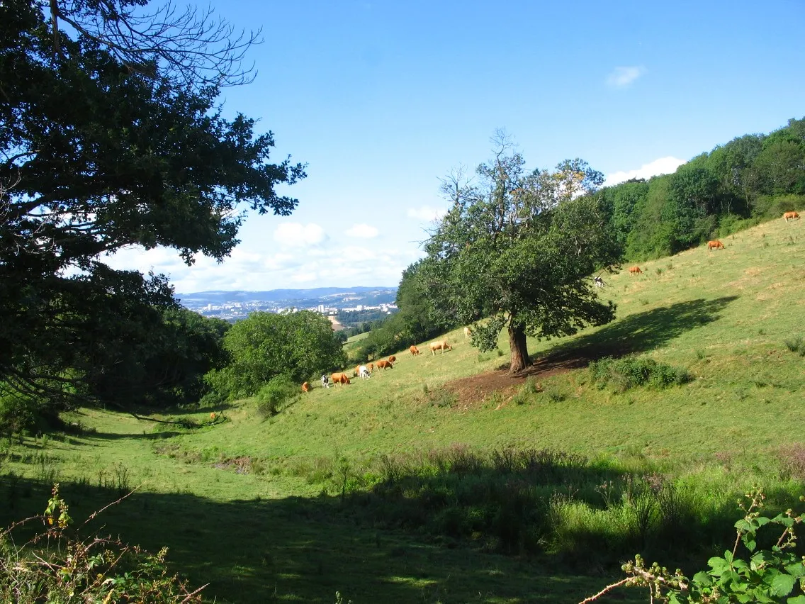
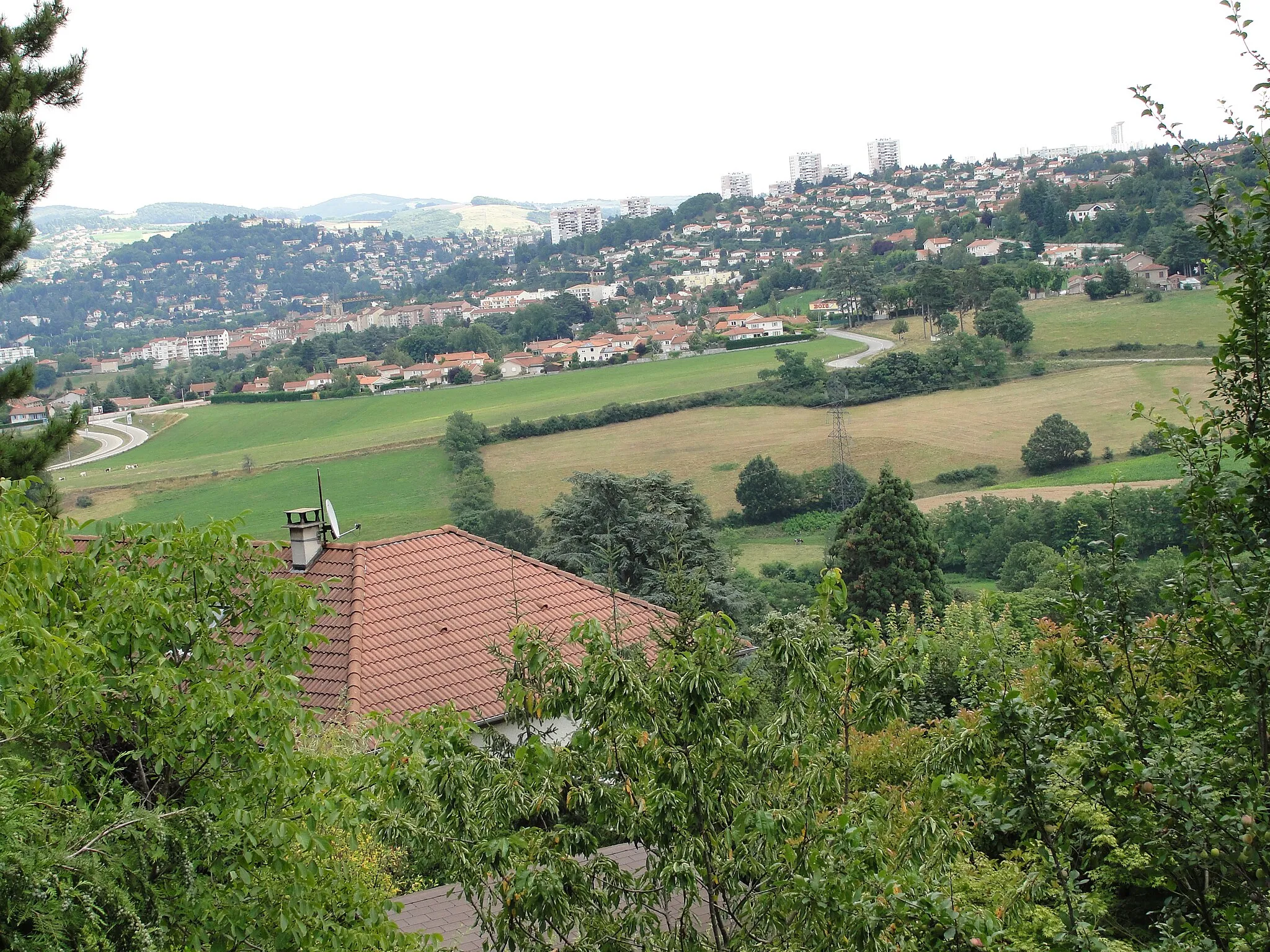
Saint-Marcel-lès-AnnonayVillageSaint-Marcel-lès-Annonay is known for its beautiful countryside, complete with rolling hills, vineyards, and charming stone-built houses.
52 km
52 km
Crêt de la Perdrix1432 mPeakCrêt de la Perdrix is a renowned summit in the Pilat Natural Park, attracting hikers and cyclists with its panoramic views of the surrounding landscapes.
67 km
67 km
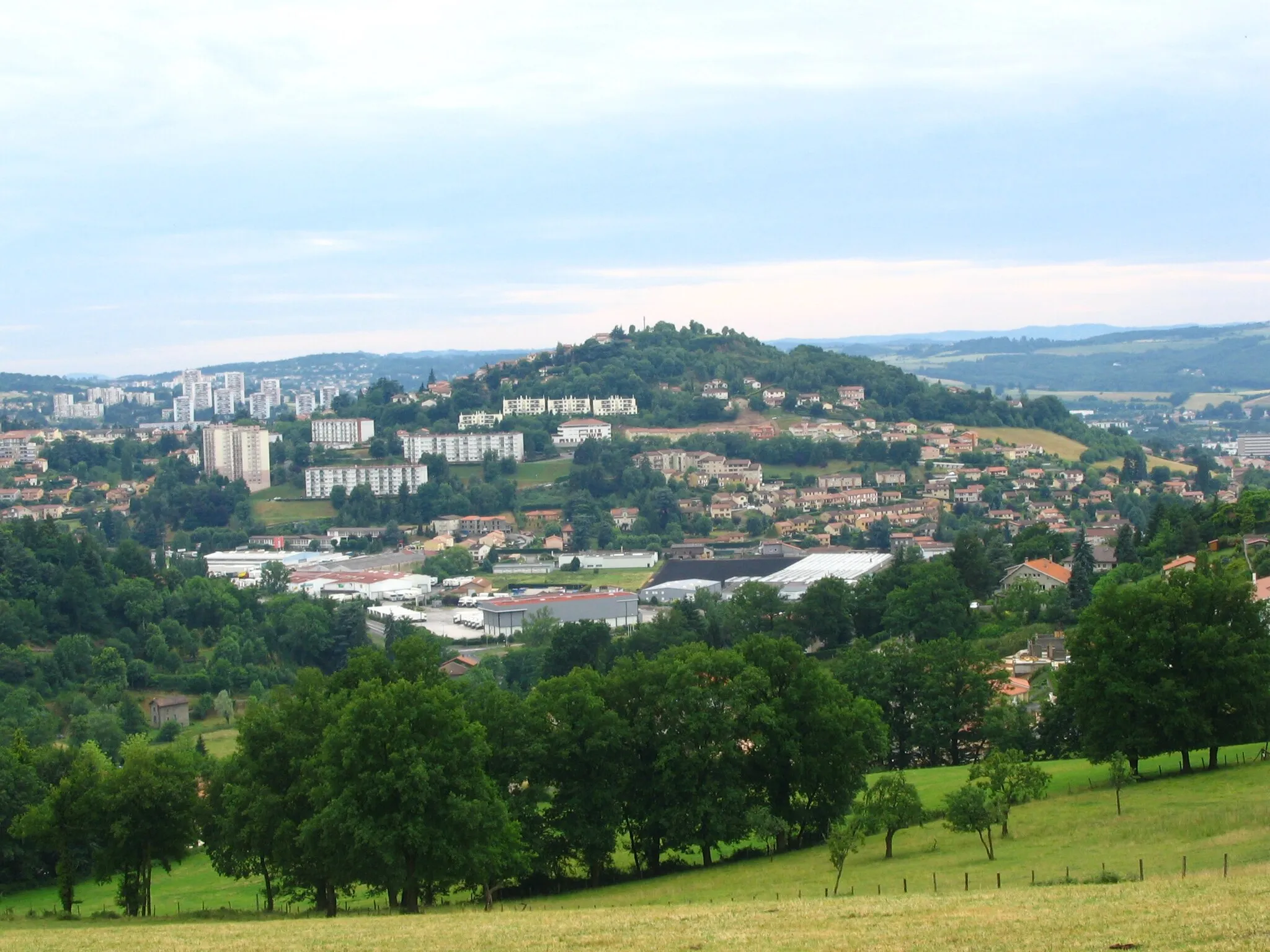
Saint-ChamondTownSaint-Chamond, a lively town situated between the Rhône River and the Pilat Regional Nature Park, offers a mix of natural beauty and historical heritage.
75 km
75 km
Finish: Saint-Jean-Bonnefonds Village centerSaint-Jean-Bonnefonds: Diverse terrain with urban and rural landscapes, featuring the famous Col de la République.
Cycling routes from Saint-Jean-Bonnefonds:
Mont Morin and La Talaudière Round-Trip Gravel Adventure to Saint-Étienne Exploring Roche-la-Molière and Mont Morin Saint-Priest-en-Jarez Loop Gravel Routes through Natural Beauty The Adventure of Saints and Summits The Ultimate Challenge: Saint-Étienne Epic Ride Exploring Nature on Gravel Paths Scenic Road Tour with Charming Towns Ultimate Gravel Challenge The Saint-Étienne Loop
Cycling routes nearby: