The Ultimate Challenge: Saint-Étienne Epic Ride
A road cycling route starting from Saint-Jean-Bonnefonds
Conquer the challenge of a long and demanding road cycling route to Saint-Étienne
Map
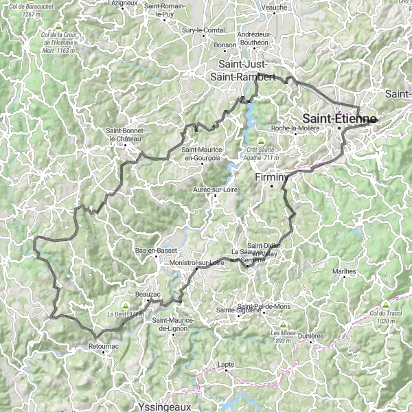
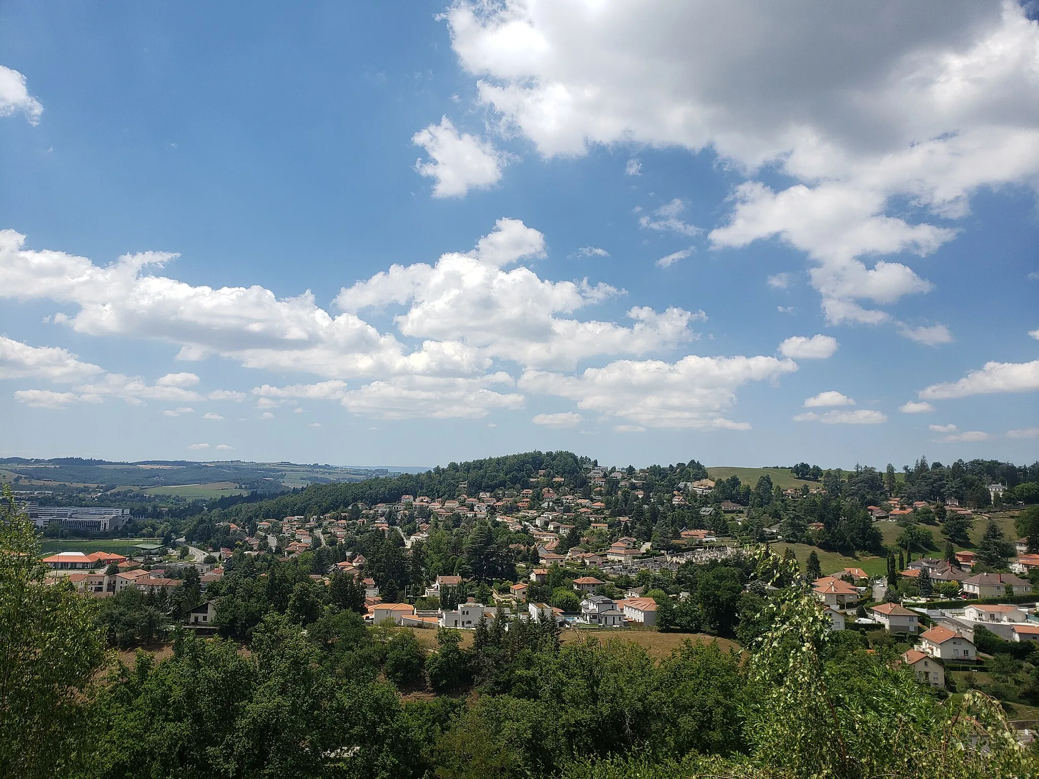
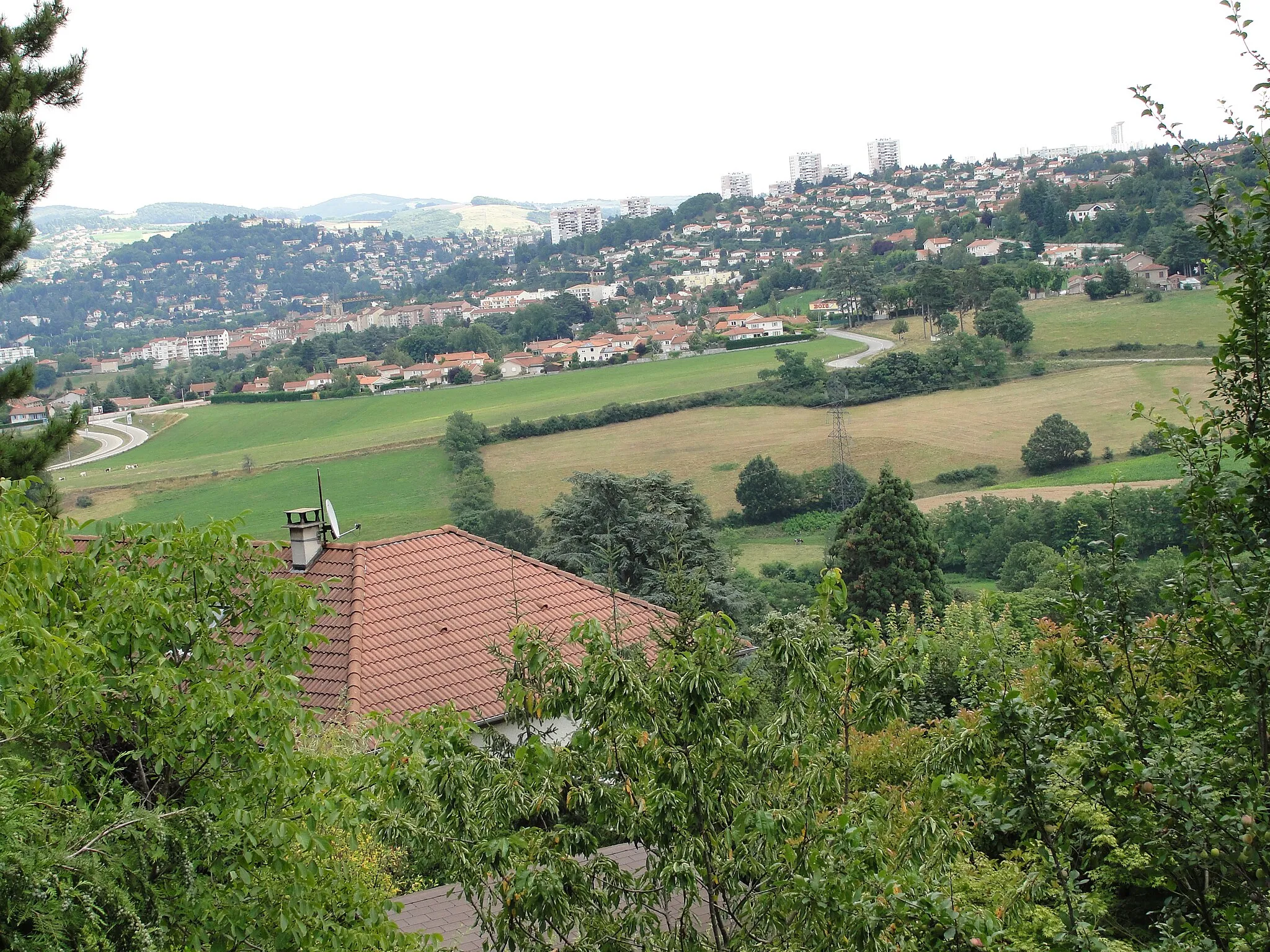
This epic road cycling route spans a distance of 149 km with an elevation gain of 2623 m, making it a true test of endurance for experienced cyclists. Starting near Saint-Jean-Bonnefonds, you'll tackle challenging climbs and awe-inspiring landscapes as you make your way towards Saint-Étienne and beyond.
road
149 km
2623 m
Savage
Route profile
Highlights on the route
0 km
0 km
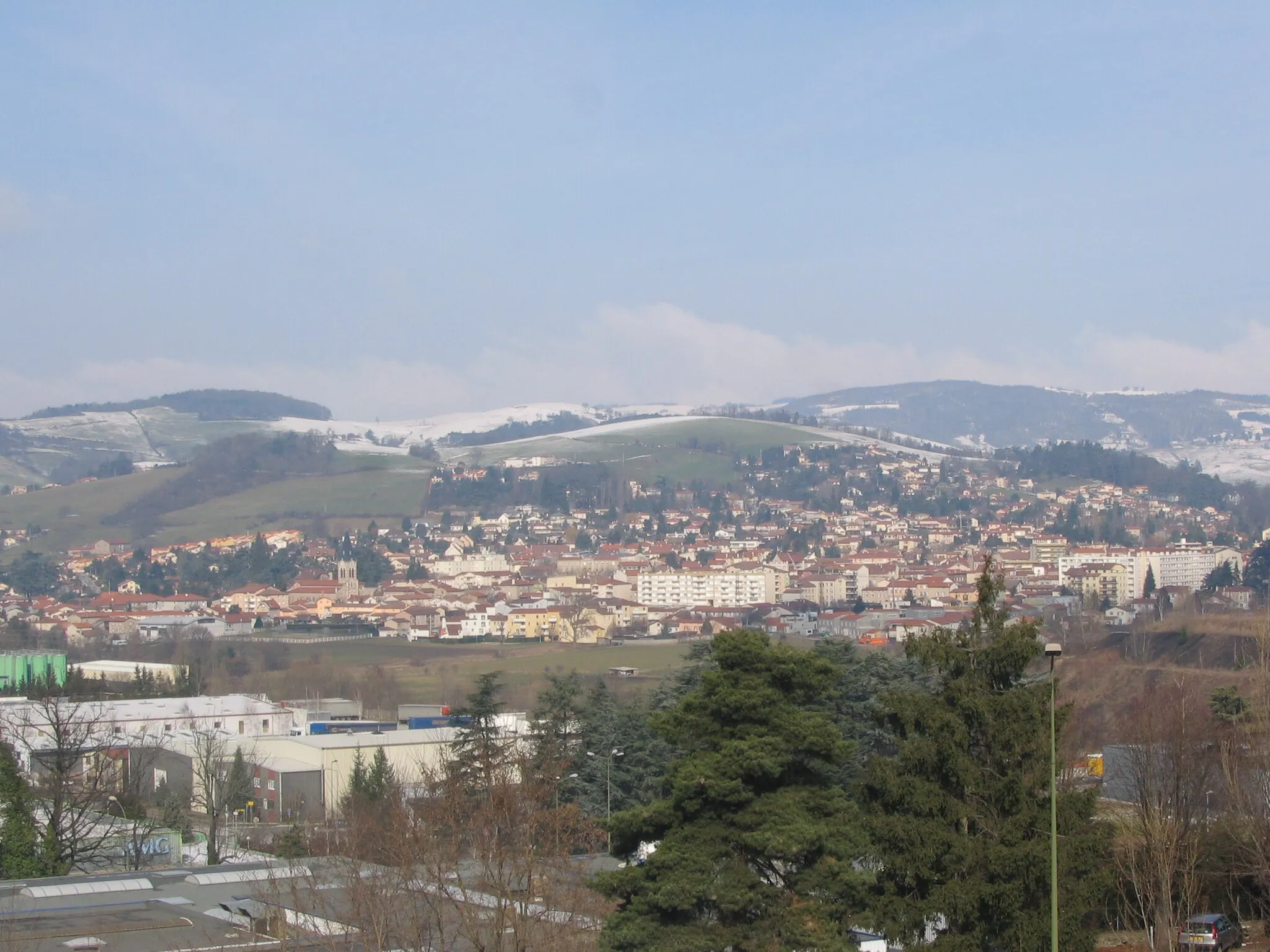
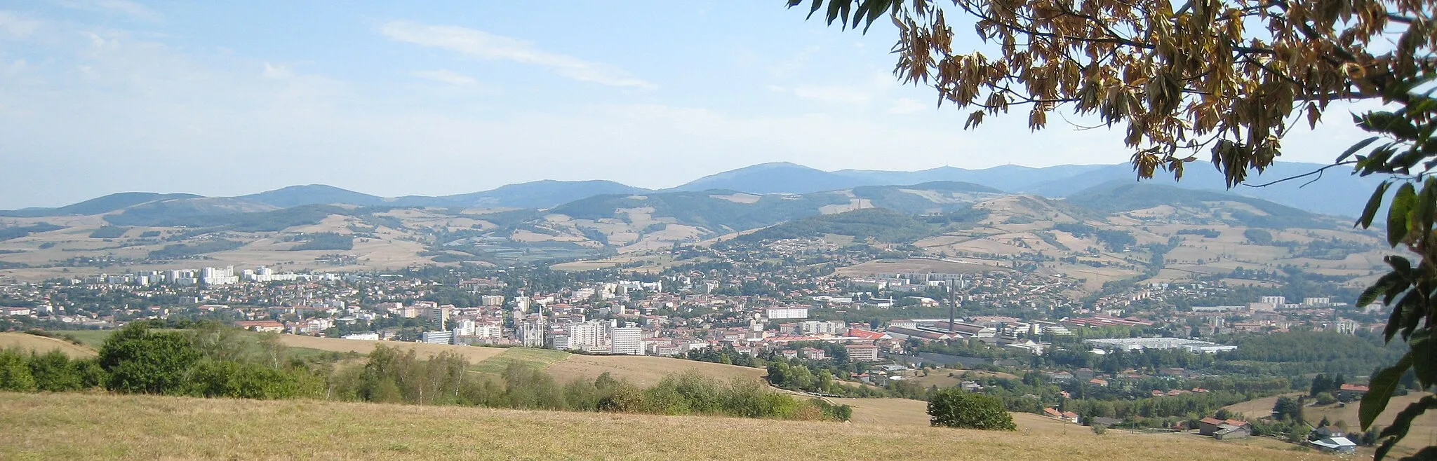
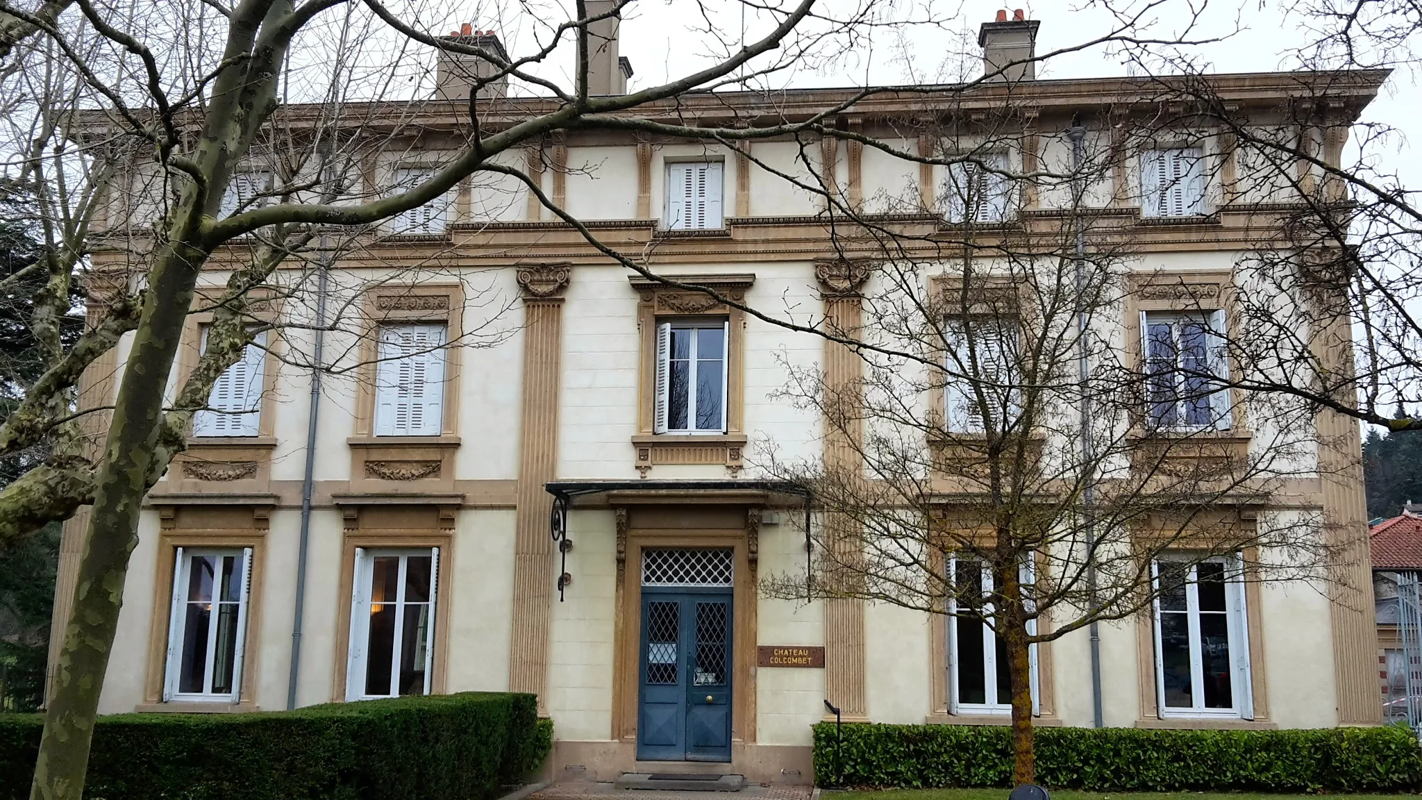
Start: Saint-Jean-Bonnefonds Village centerSaint-Jean-Bonnefonds: Diverse terrain with urban and rural landscapes, featuring the famous Col de la République.
Saint-Jean-Bonnefonds is a region in Rhône-Alpes, France. This locality offers a mix of urban and rural landscapes, making it suitable for both road and gravel cycling. Cyclists can explore the charming villages and rolling hills in the area, as well as enjoy rides through the picturesque countryside. The hilly terrain provides opportunities for both challenging climbs and thrilling descents. One of the well-known cycling spots nearby is Col de la République, a legendary climb often featured in professional cycling races. With its diverse terrain and accessibility to various routes, Saint-Jean-Bonnefonds is a popular destination for cyclists of all levels.4 km
4 km
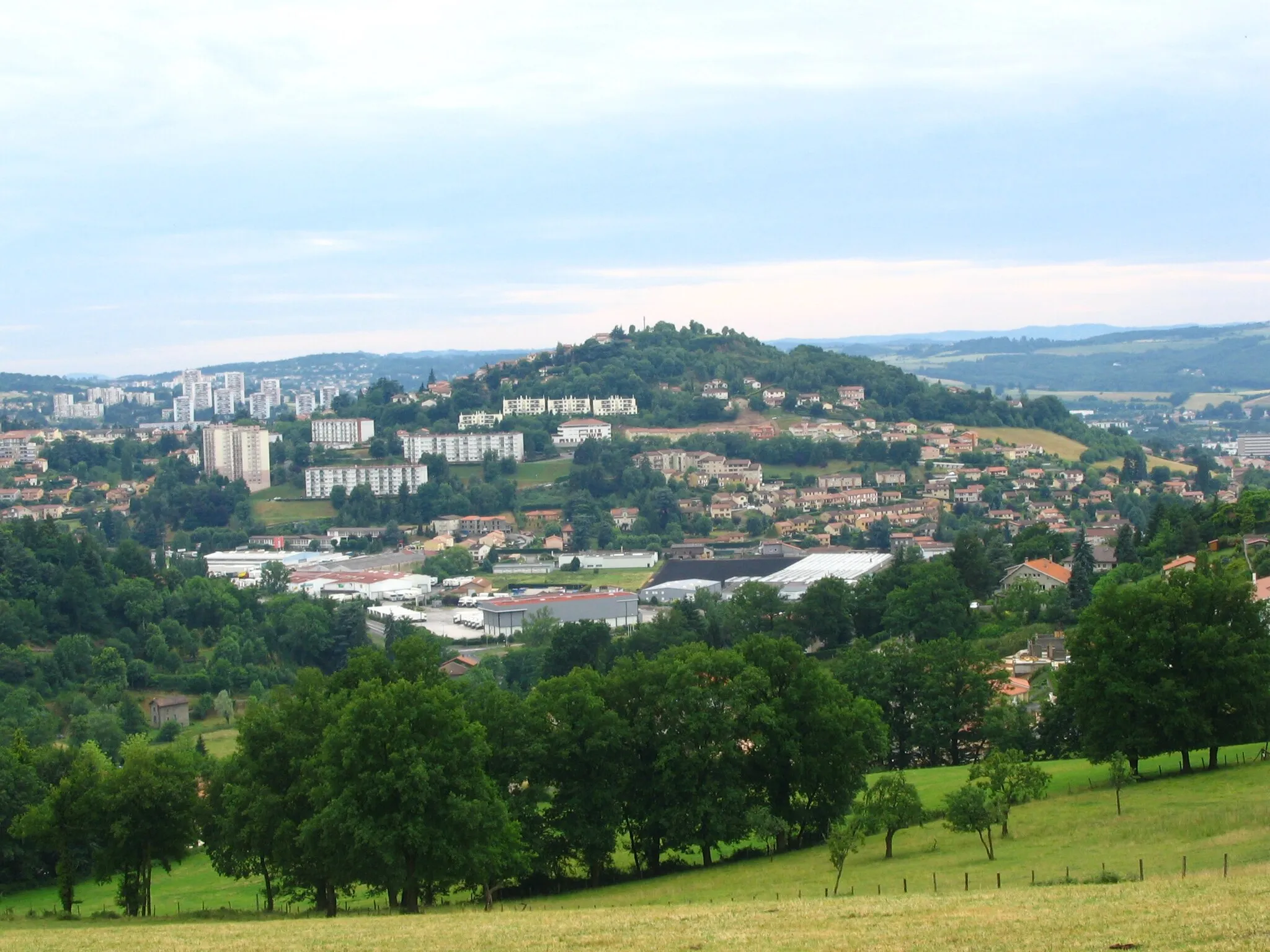
Saint-ÉtienneCityPass through Saint-Étienne, a vibrant city that serves as a gateway to the region's scenic routes and famous climbs.
22 km
22 km
Saint-Just-MalmontVillageSaint-Just-Malmont treats cyclists to incredible scenic views and offers various challenging routes for outdoor enthusiasts.
31 km
31 km
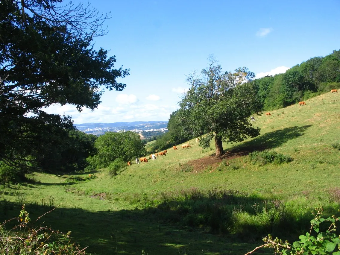
La Séauve-sur-SemèneVillageLa Séauve-sur-Semène is a quaint town located in the foothills of the Massif Central, surrounded by stunning nature.
49 km
49 km
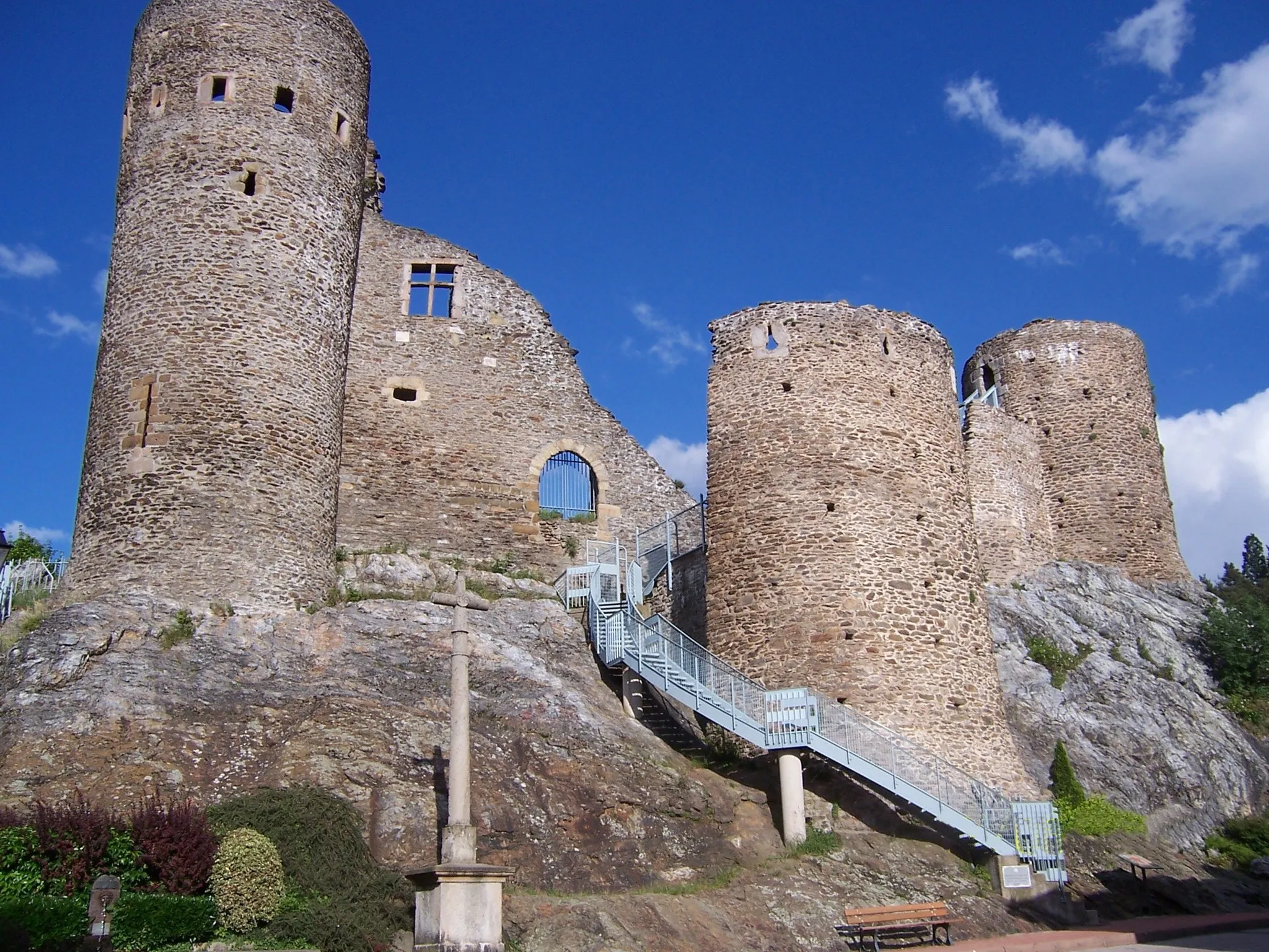
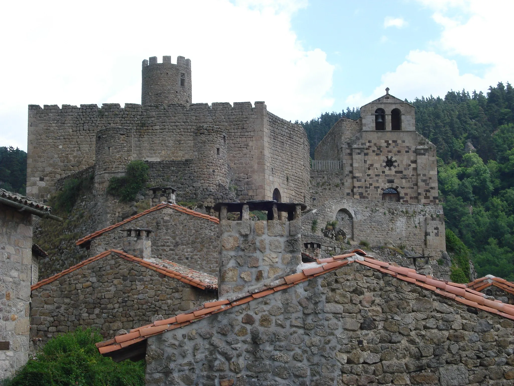
BeauzacVillageBeauzac is characterized by its well-preserved medieval center and serves as an enchanting stop along the route.
54 km
54 km
Plateau de la Madeleine960 mPeakPlateau de la Madeleine is a natural viewpoint with panoramic vistas that showcase the region's diverse landscape.
68 km
68 km
Saint-André-de-ChalenconVillageSaint-André-de-Chalencon is a tranquil village that invites cyclists to take a break and appreciate its charming rural setting.
71 km
71 km
Table d'orientationViewpointTable d'orientation, situated at a high point, offers stunning views over the surrounding valleys and peaks.
82 km
82 km
BoissetVillageBoisset is a small village that charms with its traditional stone houses and tranquility.
94 km
94 km
Saint-Hilaire-Cusson-la-ValmitteVillageSaint-Hilaire-Cusson-la-Valmitte is a hidden gem, providing a peaceful atmosphere and idyllic views.
110 km
110 km
PérigneuxVillagePérigneux is a charming village with beautiful rural landscapes and rich cultural heritage.
135 km
135 km
La FouillouseVillageLa Fouillouse offers a picturesque setting along the route, with its historic buildings and pleasant ambiance.
149 km
149 km
Finish: Saint-Jean-Bonnefonds Village centerSaint-Jean-Bonnefonds: Diverse terrain with urban and rural landscapes, featuring the famous Col de la République.
Cycling routes from Saint-Jean-Bonnefonds:
Mont Morin and La Talaudière Round-Trip Gravel Adventure to Saint-Étienne Exploring Roche-la-Molière and Mont Morin Saint-Priest-en-Jarez Loop Gravel Routes through Natural Beauty The Adventure of Saints and Summits The Ultimate Challenge: Saint-Étienne Epic Ride Exploring Nature on Gravel Paths Scenic Road Tour with Charming Towns Ultimate Gravel Challenge The Saint-Étienne Loop
Cycling routes nearby: