Beaucroissant - Tullins Round-Trip
A road cycling route starting from Tullins
Cycle through scenic rural landscapes and discover historic villages
Map
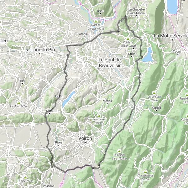
This round-trip cycling route starting from Tullins takes you through picturesque landscapes and charming villages in the Rhône-Alpes region. With a total distance of 128 km and an ascent of 1870m, this road route is suitable for well-trained amateurs. The route passes through highlights such as Beaucroissant, Oyeu, La Bâtie-Montgascon, Saint-Genix-les-Villages, Mont Tournier, Mont Chaffaron, Novalaise, Entre-deux-Guiers, Saint-Joseph-de-Rivière, Col de la Placette, Bec de l'Échaillon, and finishes back in Tullins.
road
128 km
1870 m
Tough
Route profile
Highlights on the route
0 km
0 km
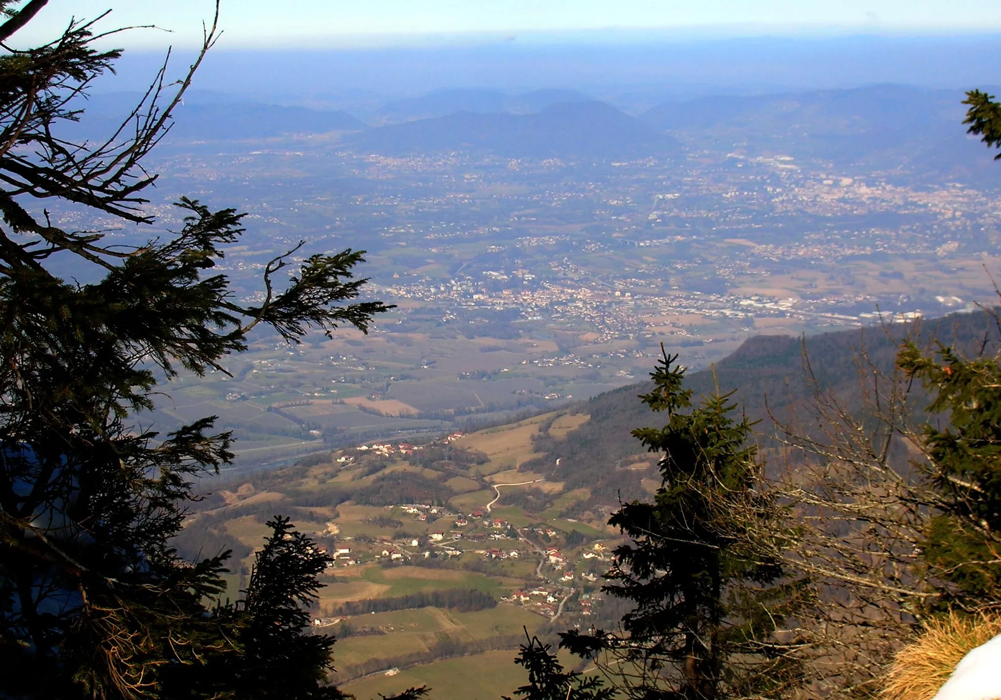
Start: Tullins Village centerTullins: Experience breathtaking climbs and scenic vistas around Tullins.
Tullins is a locality located in the region of Rhône-Alpes, France. As a cyclist, Tullins offers a mix of road and gravel cycling routes with challenging climbs and scenic vistas. The roads in the region are generally well-paved, providing a smooth ride for cyclists. One notable cycling spot near Tullins is the Col de Romeyère, a popular climb among cyclists. This challenging ascent rewards riders with breathtaking panoramic views at the summit. Cyclists can also enjoy exploring the beautiful countryside surrounding Tullins, with its rolling hills and picturesque scenery. Overall, Tullins is a great destination for both road and gravel cycling enthusiasts, thanks to its challenging climbs and stunning landscapes.6 km
6 km
BeaucroissantVillageBeaucroissant is known for its annual agricultural fair, attracting visitors from all over the region.
17 km
17 km
OyeuVillageOyeu is a small village with beautiful views of the surrounding countryside.
38 km
38 km
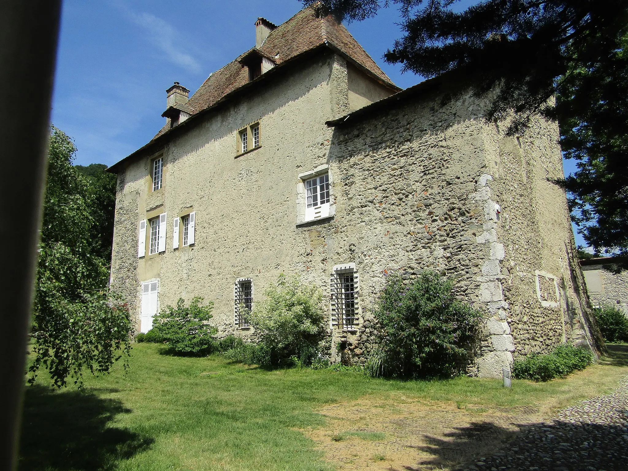
La Bâtie-MontgasconVillageLa Bâtie-Montgascon is a historic village with ancient castle ruins.
50 km
50 km
Saint-Genix-les-VillagesVillageSaint-Genix-les-Villages is famous for its delicious pastry, the 'Gâteau de Saint-Genix'.
58 km
58 km
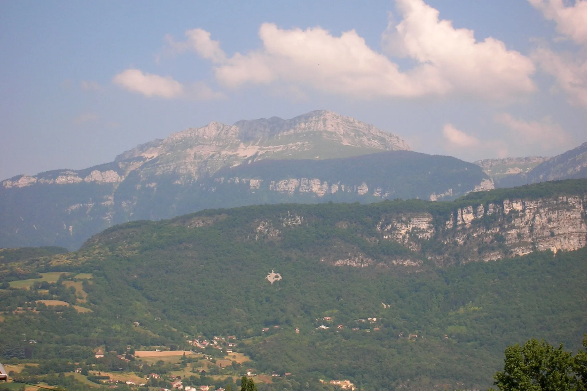
Mont Tournier877 mViewpointMont Tournier offers stunning panoramic views of the surrounding mountains.
65 km
65 km
Mont Chaffaron854 mPeakMont Chaffaron is a challenging climb with rewarding views at the top.
70 km
70 km
NovalaiseVillageNovalaise is a charming lakeside town with opportunities for water sports and relaxation.
93 km
93 km
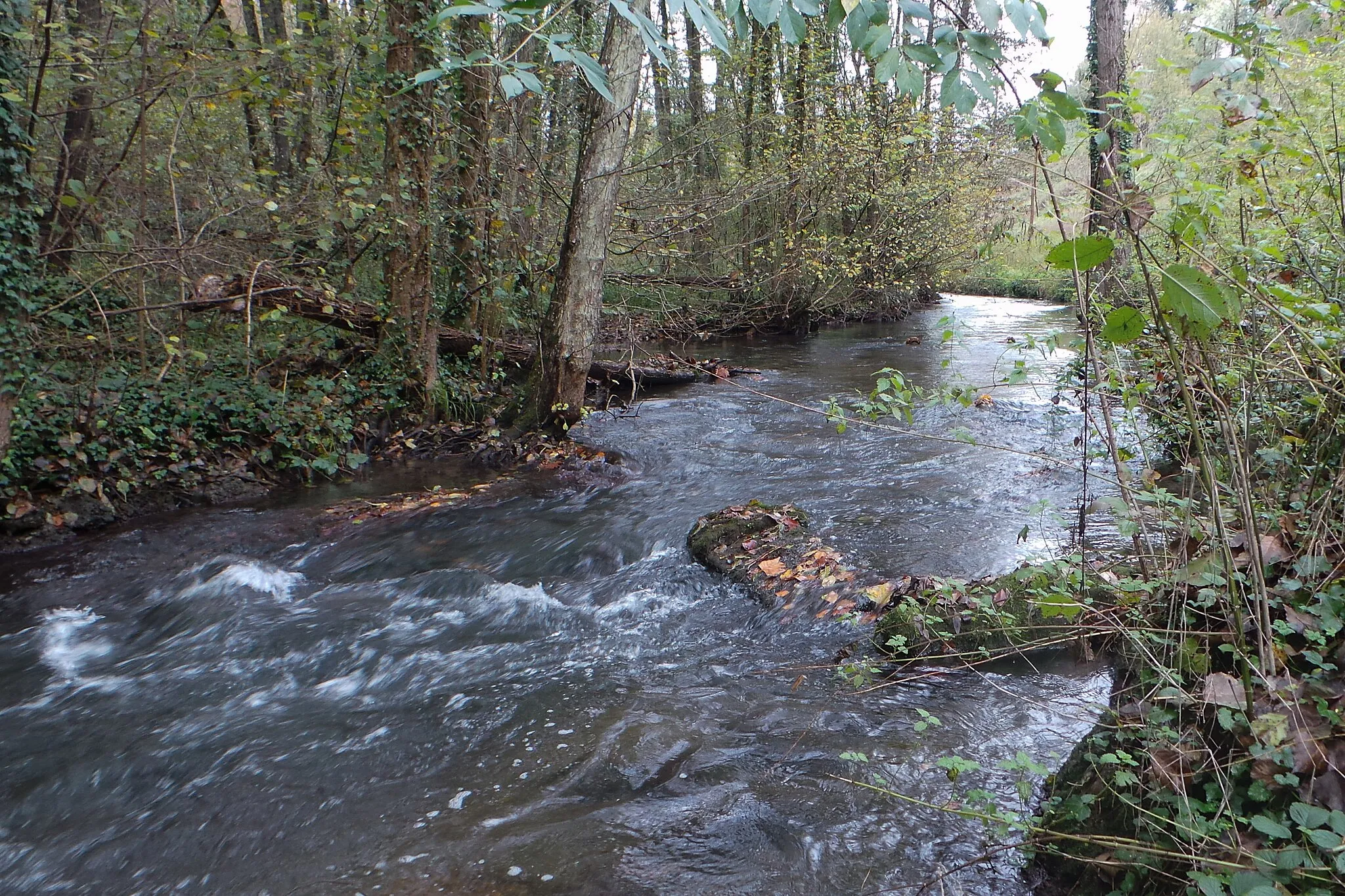
Entre-deux-GuiersVillageEntre-deux-Guiers is known for its picturesque location on the Guier river.
101 km
101 km
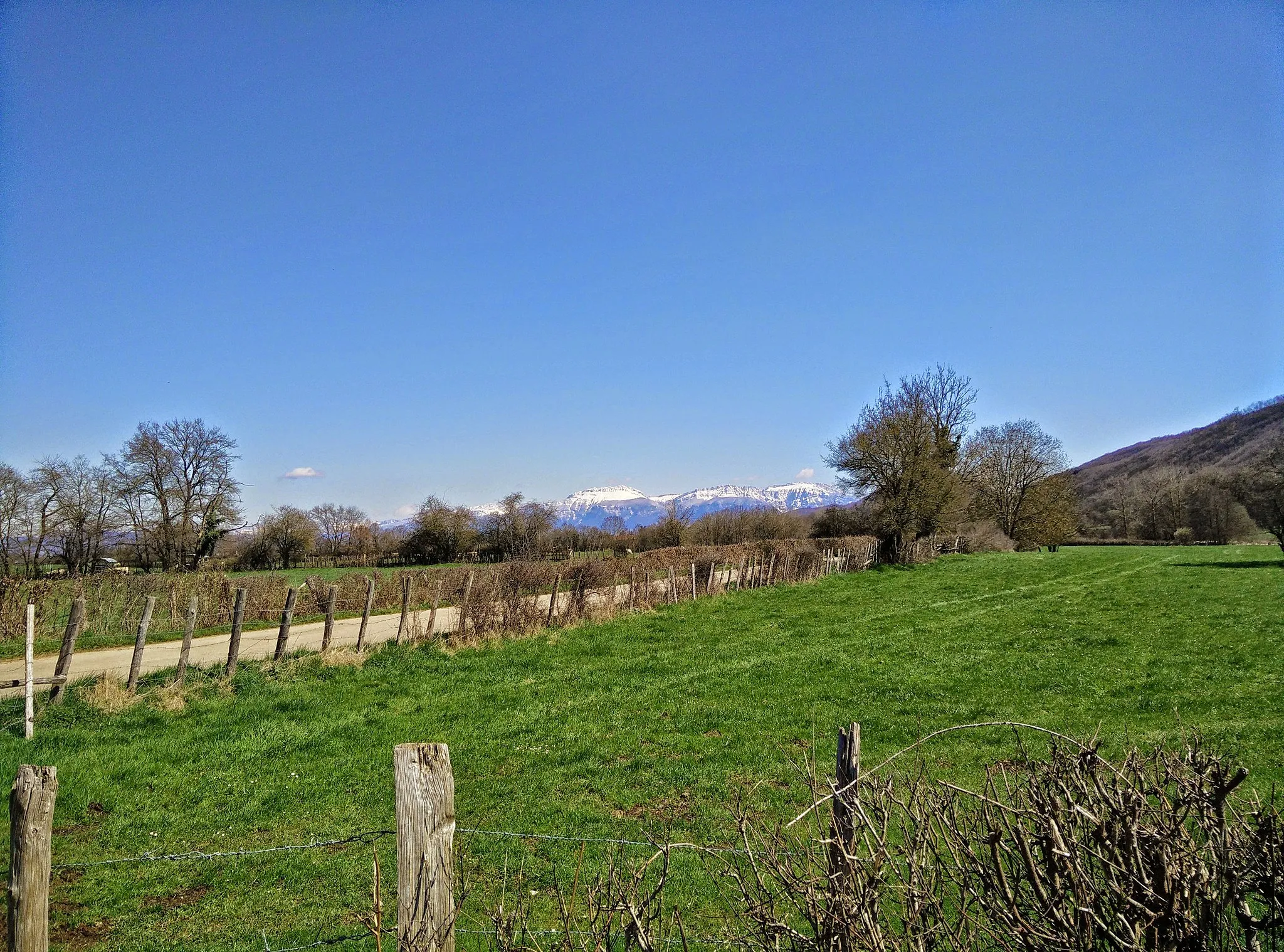
Saint-Joseph-de-RivièreVillageSaint-Joseph-de-Rivière offers serene rural landscapes and traditional French architecture.
108 km
108 km
Col de la Placette594 mMountain PassCol de la Placette is a challenging mountain pass with magnificent views.
117 km
117 km
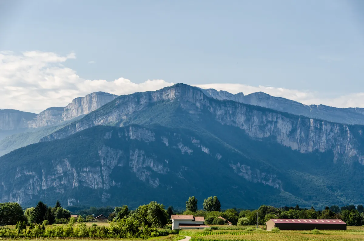
Bec de l'Échaillon622 mPeak ViewpointBec de l'Échaillon is a viewpoint offering panoramic views of the Chartreuse Regional Nature Park.
127 km
127 km
Tullins - Gare SNCFShelterTullins - Gare SNCF is the starting and ending point of the route, with easy access to transport links.
128 km
128 km
Finish: Tullins Village centerTullins: Experience breathtaking climbs and scenic vistas around Tullins.
Cycling routes from Tullins:
Road Cycling: Explore Rovon and Col du Cognet from Tullins Col de Parménie - Tullins Gravel Adventure Gravel Ride: Explore Col de Cassière and L'Eslinard from Tullins Oyeu - Tullins Loop Beaucroissant - Tullins Round-Trip Gravel Ride: Le Gey to Col de Parménie Adventure near Tullins Road Cycling: Conquer Bec de l'Échaillon and Vourey Challenge Col de Cassière - Tullins Gravel Ride Road Cycling: Scenic Morette and Col de Rossatière Route Poliénas - Tullins Scenic Road Trip
Cycling routes nearby: