Gravel Adventure from Voiron to Sommet de Monure
A gravel cycling route starting from Voiron
Experience gravel cycling from Voiron to Sommet de Monure
Map
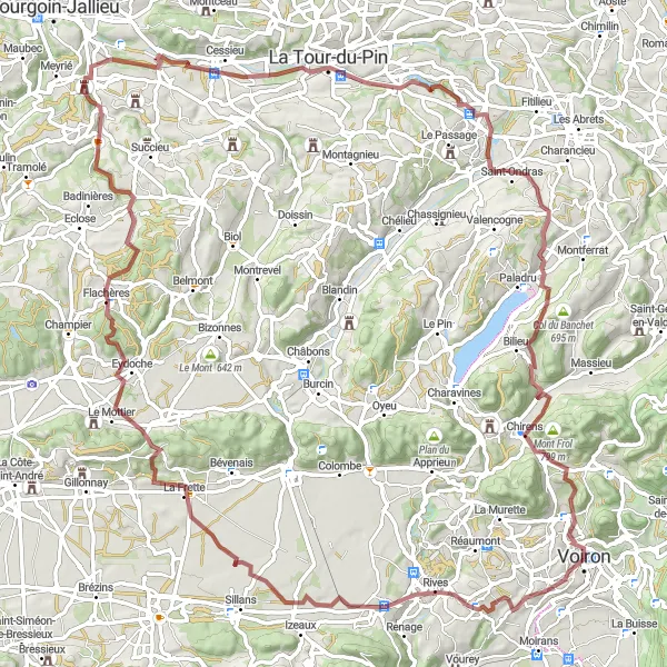
Embark on a thrilling adventure through Voiron to Sommet de Monure with this gravel route. Spanning a distance of 101 km and an ascent of 1441m, this route offers a mix of challenging terrains and picturesque landscapes. Highlights along the way include Charnècles, Col de Banchet, and Sommet de Monure. With a difficulty rating of 3 and an epicness rating of 3, this route is suitable for experienced gravel cyclists.
gravel
101 km
1441 m
Tough
Route profile
Highlights on the route
0 km
0 km
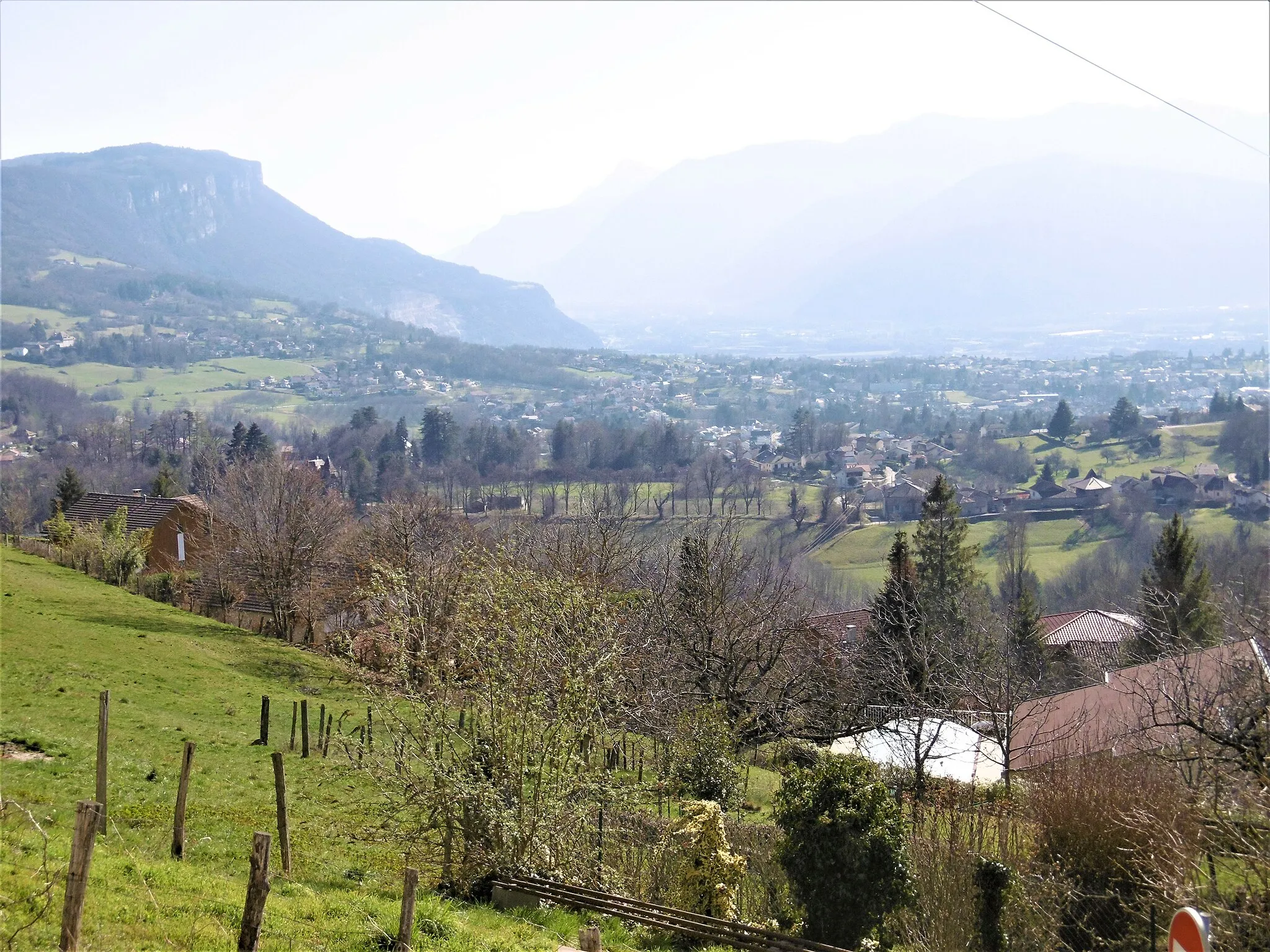
Start: Voiron City centerVoiron: Cycling paradise in Rhône-Alpes region
Voiron, located in the Rhône-Alpes region of France, is a great locality for road and gravel cyclists. The area offers a mix of flat roads and challenging climbs, making it suitable for cyclists of all skill levels. One famous cycling spot nearby is Mont Revard, a legendary climb frequented by professional cyclists. With its beautiful scenic routes and well-maintained roads, Voiron is a popular destination for cycling enthusiasts. The town itself has a cycling-friendly atmosphere, with bike lanes and facilities available. Overall, Voiron ranks 4 for its cycling opportunities.7 km
7 km
CharnèclesVillageCharnècles is a quaint village known for its charming architecture and historical sites.
25 km
25 km
La FretteVillageLa Frette is a picturesque village located along the route, offering scenic views and tranquility for cyclists.
29 km
29 km
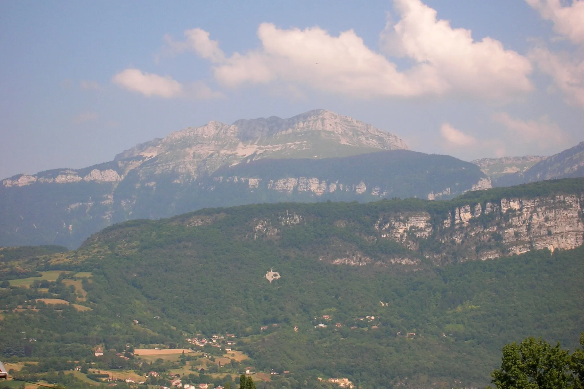
Col de Banchet555 mMountain PassCol de Banchet is a challenging ascent that rewards cyclists with stunning views at the summit.
44 km
44 km
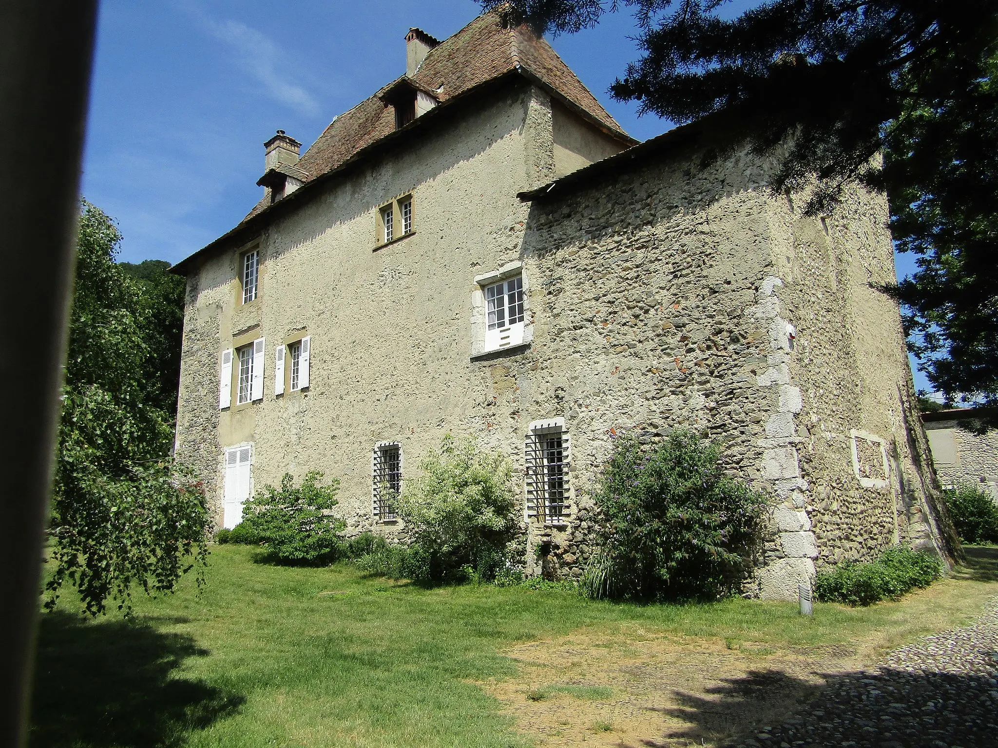
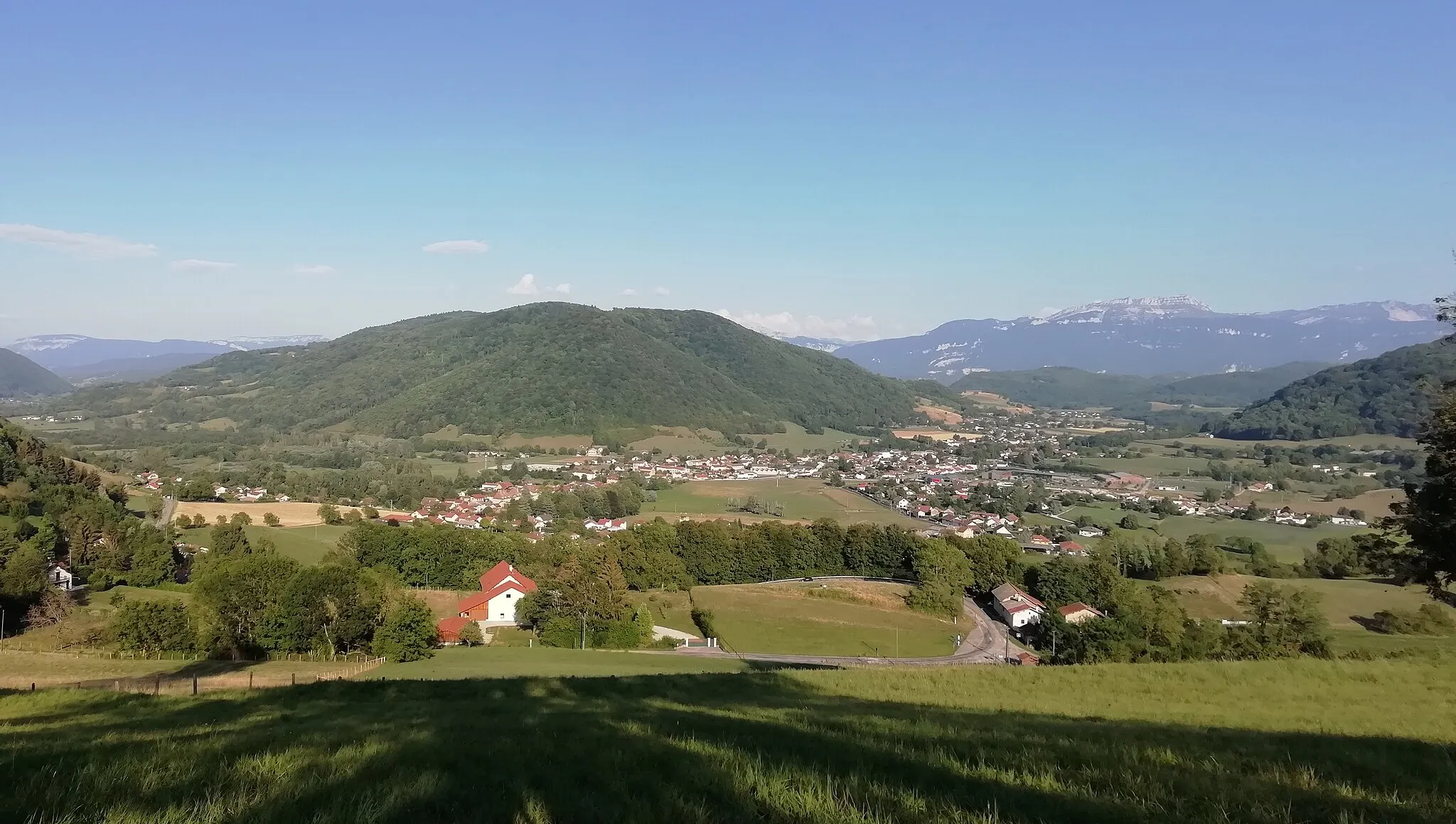
ChâteauvilainVillageChâteauvilain is a medieval village with a rich history and beautiful landmarks.
65 km
65 km
La Tour-du-PinTownLa Tour-du-Pin is a captivating town known for its stunning architecture and historic charm.
74 km
74 km
Saint-André-le-GazVillageSaint-André-le-Gaz is a scenic village located amidst picturesque natural landscapes.
85 km
85 km
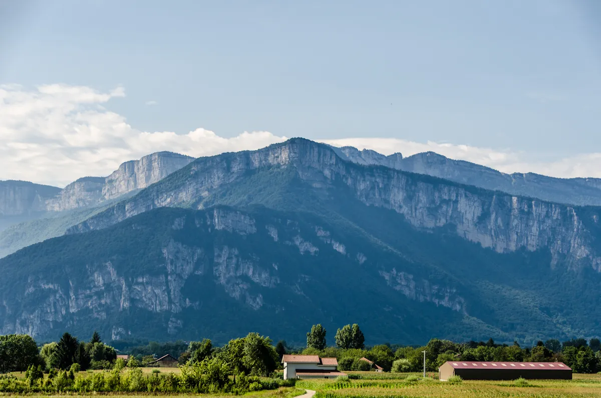
Col du Banchet695 mMountain PassCol du Banchet is a renowned gravel climb in the region, offering breathtaking views along the way.
93 km
93 km
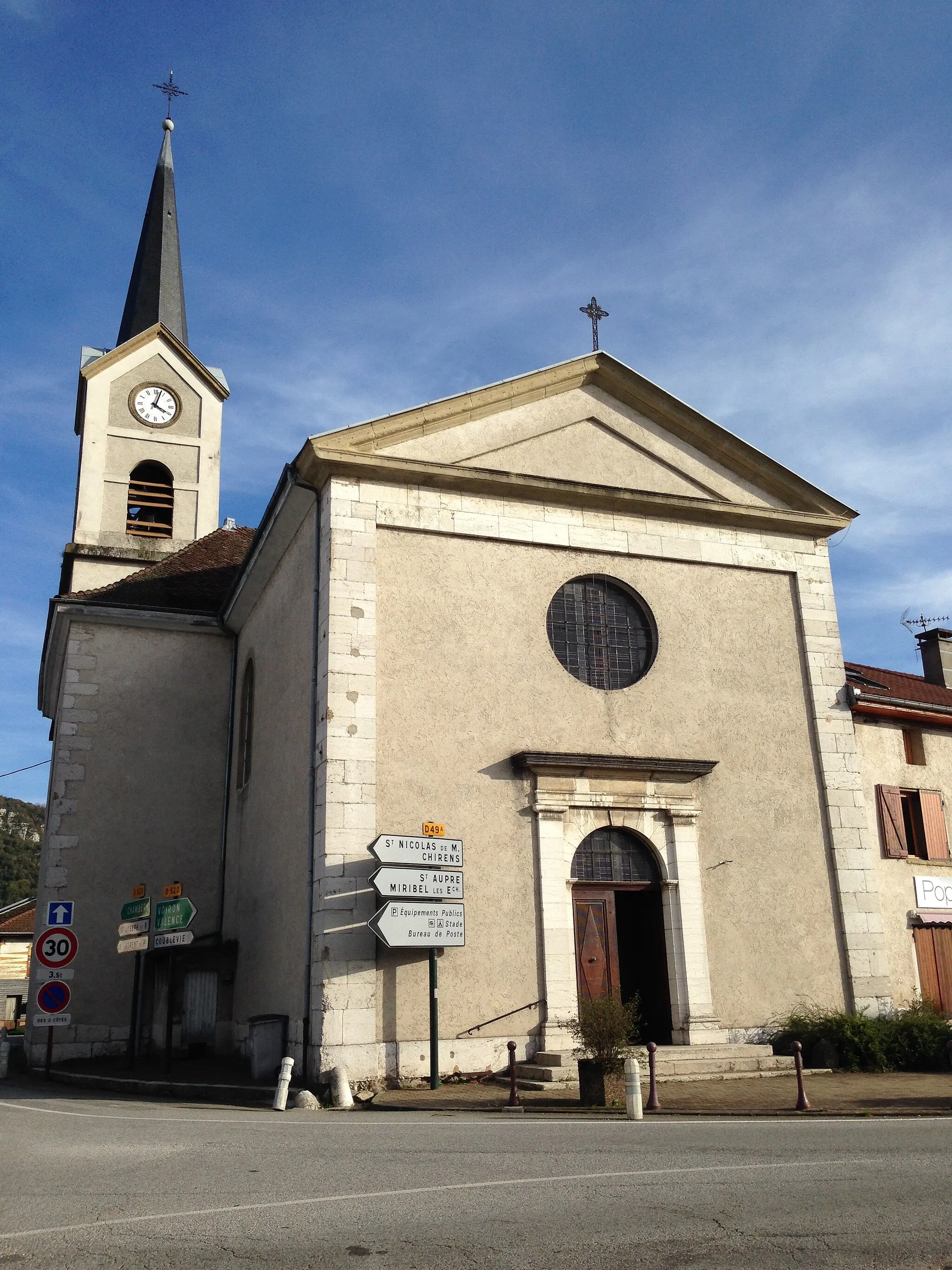
ChirensVillageChirens is a peaceful village surrounded by beautiful countryside, perfect for a rest stop.
97 km
97 km
Sommet de Monure655 mPeakSommet de Monure is the highest point of this route, offering panoramic views of the surrounding area.
101 km
101 km
Finish: Voiron City centerVoiron: Cycling paradise in Rhône-Alpes region
Cycling routes from Voiron:
Voiron - Beaucroissant - La Frette - La Murette - Tour Barral Voiron - Saint-Aupre - Tourniquet de Pierre-Chave - Saint-Christophe-sur-Guiers - Pointe du Frou - Col du Cucheron - Saint-Pierre-de-Chartreuse - Saint-Laurent-du-Pont - Col de la Placette - Voiron Voiron to Saint-Aupre Loop Scenic Road Cycling Route from Voiron to Coublevie Voiron - Saint-Aupre - Tourniquet de Pierre-Chave - Porte de l'Enclos - Saint-Pierre-de-Chartreuse - Col de Porte - Sarcenas - Rocher du Cornillon - Voreppe - Voiron Voiron - Rives - Izeaux - Le Truc - Brézins - Apprieu - Tour Barral Gravel Cycling Adventure from Voiron to Voiron Gravel Adventure from Voiron to Sommet de Monure Voiron - Tullins - Col de Châtain - Saint-Michel-de-Saint-Geoirs - Viriville - Beaurepaire - Meyssiez - Châtonnay - Bizonnes - Col de Rossatière - Tour Barral Voiron to Lac d'Aiguebelette Cycling Route
Cycling routes nearby: