Adlershof - Ehemaliger Sender Köpenick - Berliner Balkon - Altlandsberg - Petershagen - Bülowkanal-Portal - Köpenick
A gravel cycling route starting from Adlershof
Embark on an adventurous journey from Adlershof to explore highlights like the Ehemaliger Sender Köpenick, Berliner Balkon, Altlandsberg, and Köpenick.
Map
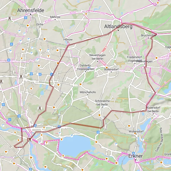
This cycling route starts from Adlershof and takes you through a series of exciting highlights. Visit the historic Ehemaliger Sender Köpenick, admire the stunning views from Berliner Balkon, explore the charming town of Altlandsberg, pass by the scenic Petershagen, discover the Bülowkanal-Portal, and enjoy the beauty of Köpenick. The gravel sections provide an adventurous twist to the overall cycling experience. With a moderately challenging ascent of 116 meters and a distance of 57 kilometers, this route is suitable for experienced cyclists seeking a thrilling adventure.
gravel
57 km
116 m
Tough
Route profile
Highlights on the route
0 km
0 km
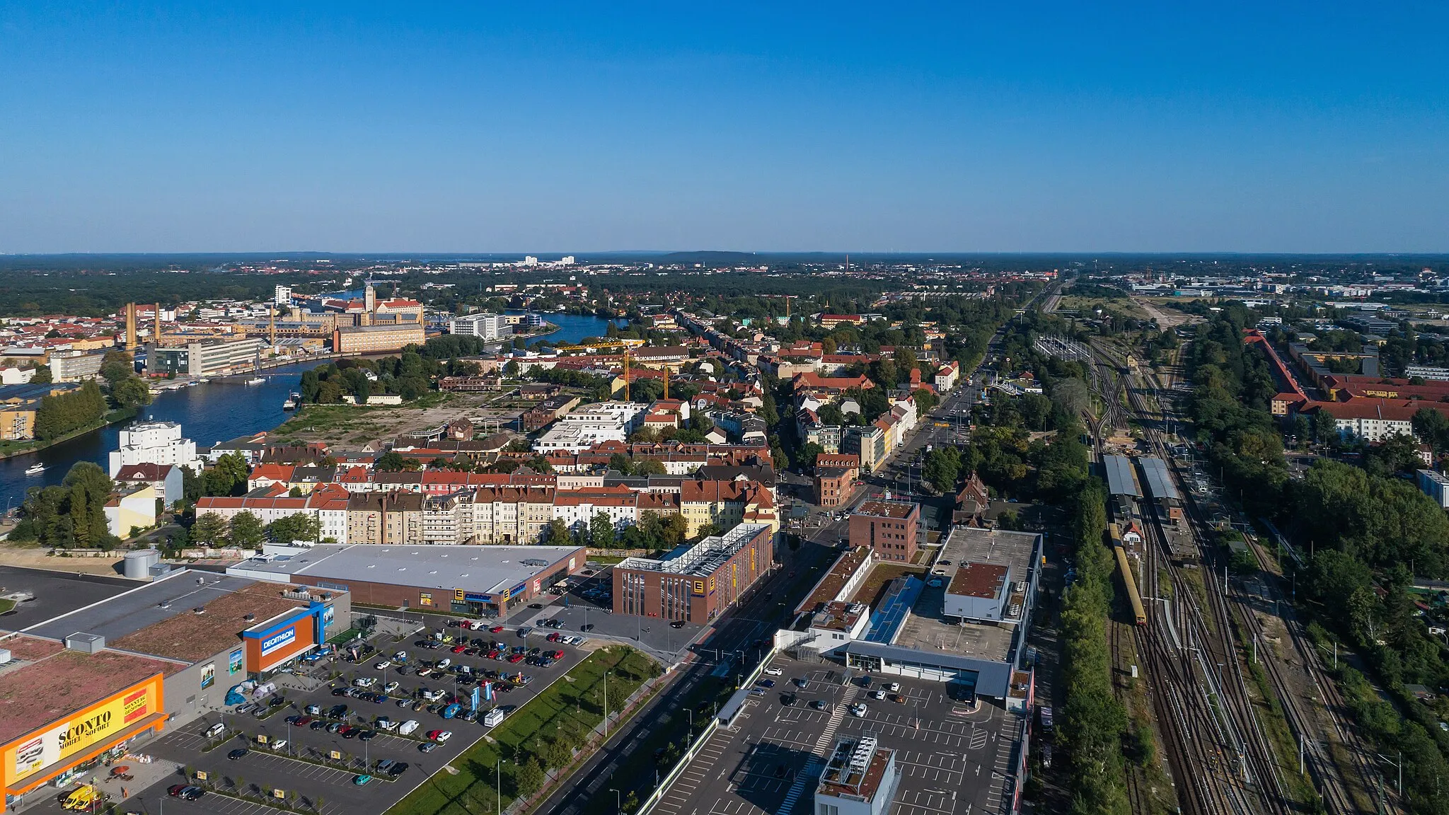
Start: Locality centerAdlershof: Vibrant locality with well-developed cycling infrastructure and easy access to natural parks.
Adlershof is a vibrant locality in Berlin, Germany. From a cyclist's perspective, it offers a mix of urban cycling infrastructure and nearby natural parks. The area has a well-developed network of cycle paths, making it easy to navigate and explore. Cyclists can also venture into the expansive parks and green spaces surrounding Adlershof, such as the Treptower Park and the Wuhlheide Forest. Sporting events like Berlin Velothon attract both professional and amateur cyclists to the locality. With its cycling infrastructure and access to natural areas, Adlershof ranks 4 on the cyclist's perspective scale.6 km
6 km
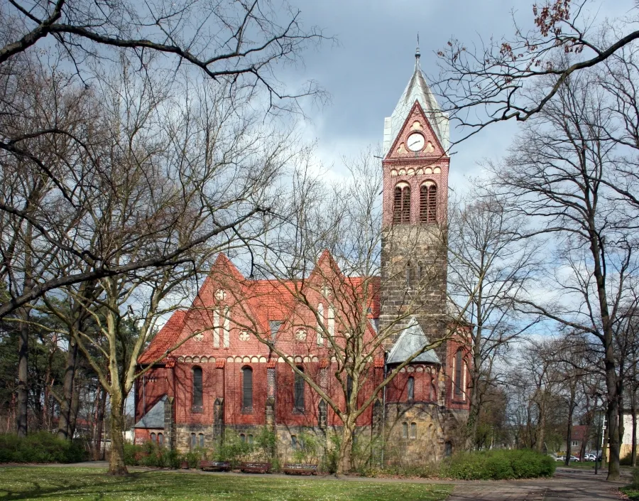
Ehemaliger Sender KöpenickCastle RuinsEhemaliger Sender Köpenick is the remains of a former broadcasting station. Take a moment to explore this historical site.
10 km
10 km
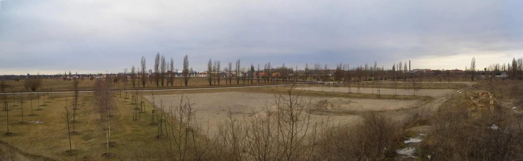
Berliner BalkonViewpointBerliner Balkon offers spectacular views of Berlin's skyline and the river Dahme. Capture the beauty of the city from this elevated platform.
22 km
22 km
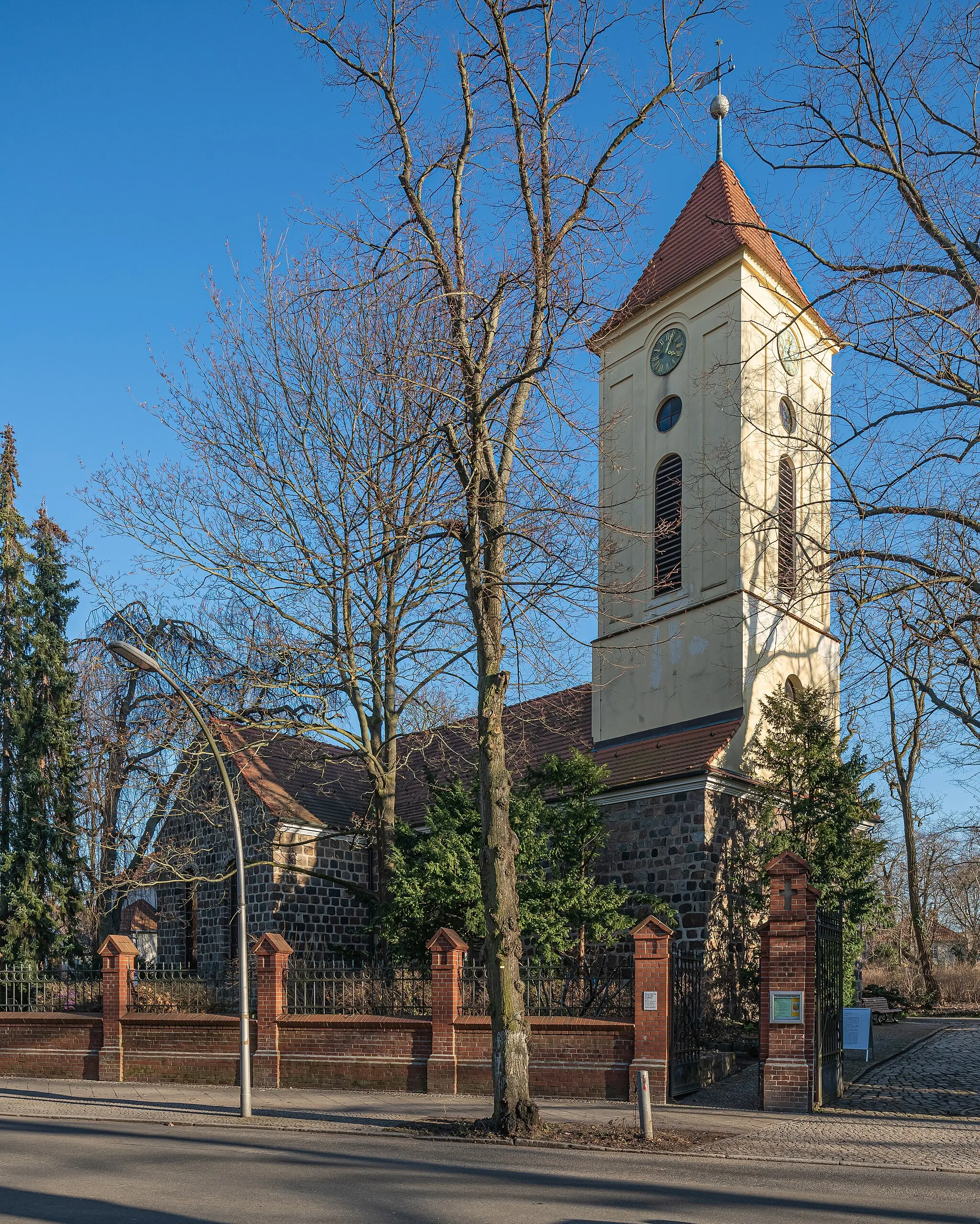
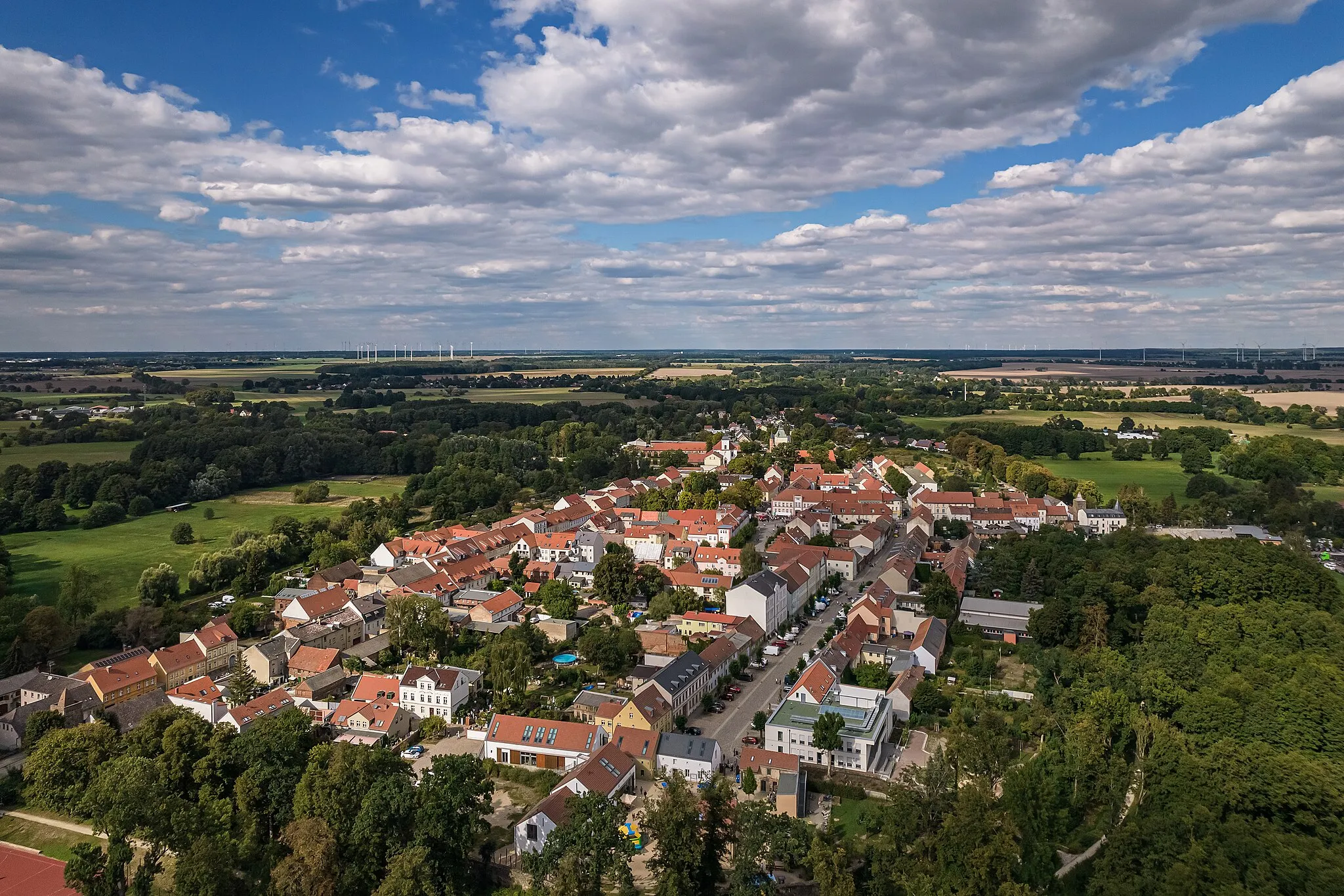
AltlandsbergTownAltlandsberg is a picturesque town with well-preserved medieval architecture. Wander through its charming streets and discover its hidden gems.
32 km
32 km
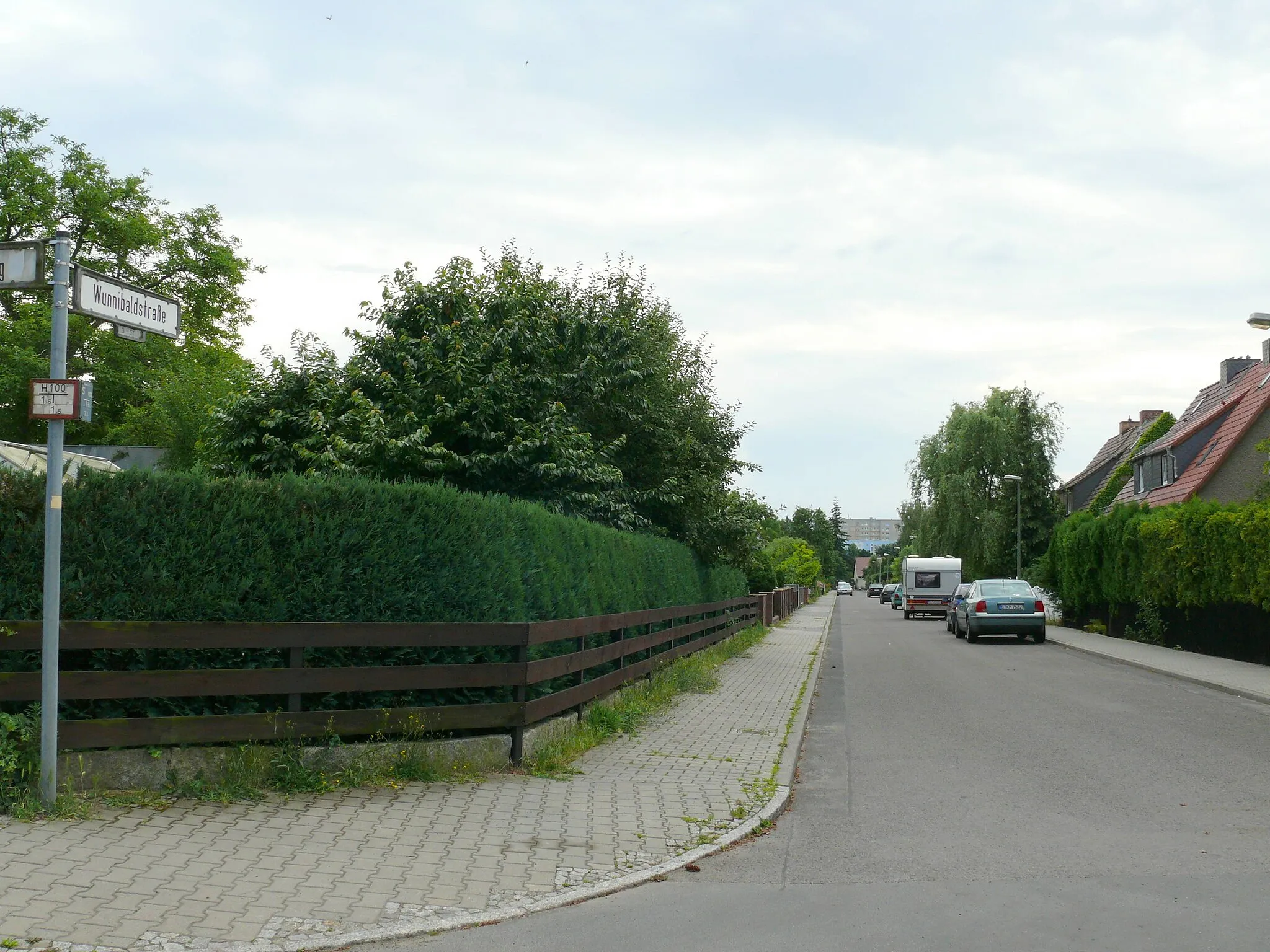
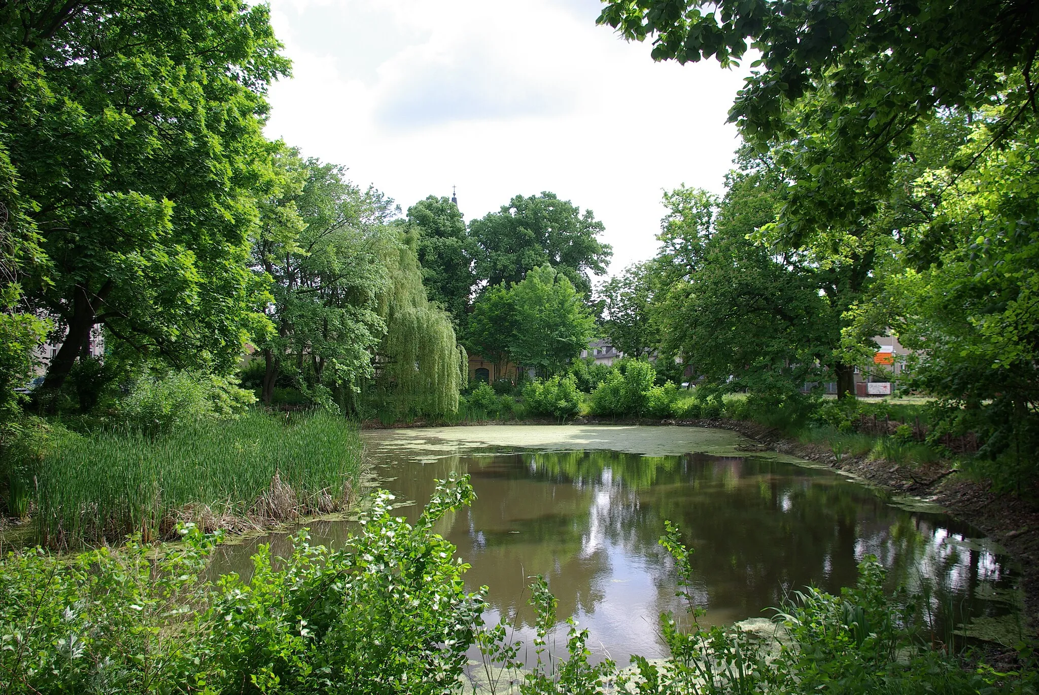
PetershagenVillagePetershagen is a peaceful village surrounded by nature. Enjoy cycling through its scenic countryside.
38 km
38 km
Bülowkanal-PortalAttractionBülowkanal-Portal is a unique structure that represents the meeting point of the canal and the river Spree. Learn about the history of this waterway.
55 km
55 km
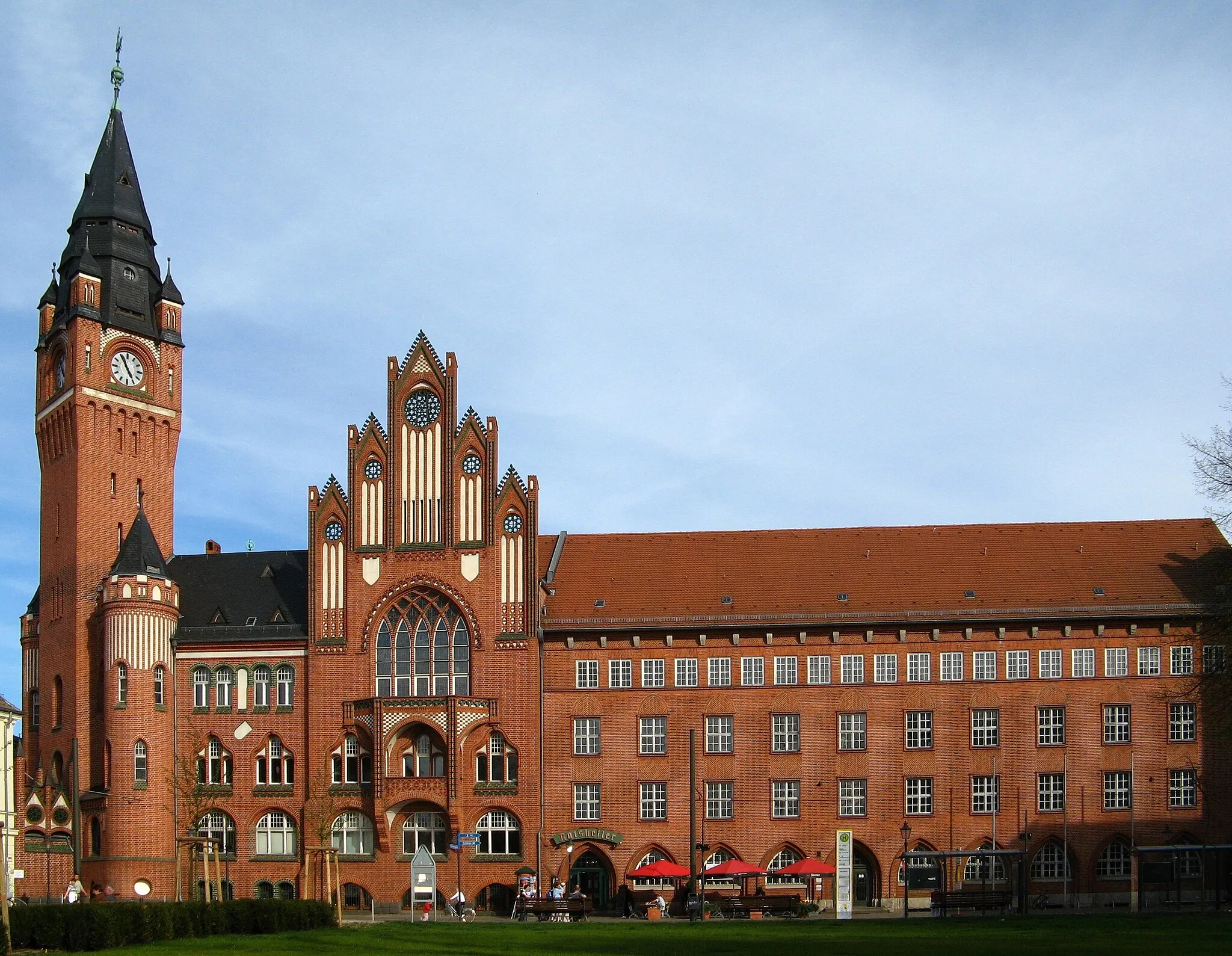
KöpenickSub-urbKöpenick is home to a beautiful old town with charming shops and restaurants. Explore the waterfront and immerse yourself in its rich history.
57 km
57 km
Finish: Locality centerAdlershof: Vibrant locality with well-developed cycling infrastructure and easy access to natural parks.
Cycling routes from Adlershof:
Adlershof - Inselspitze - Kap Stralau - Dorfkirche Falkenberg - Gärten der Welt - Aussichtspunkt Bunkerberg Adlershof - Ehemaliger Sender Köpenick - Berliner Balkon - Altlandsberg - Petershagen - Bülowkanal-Portal - Köpenick Adlershof - Schloss Biesdorf - Skywalk Marzahner Promenade - Altlandsberg - Köpenick Adlershof - Schloss Britz - Kalenderplatz - Insulaner - Charlottenburg - Wedding - Humboldthöhe - Hohes Plateau - Schloss Friedrichsfelde - Niederschöneweide Adlershof - Schloss Köpenick - Berliner Balkon - Schöneiche bei Berlin - Köpenick Marienlust Loop - Road Cycling Gravel Adventure: Köpenick Trail Cultural Excursion: Schrotkugelturm Loop Hill Challenge: Bunkerberg Loop Nature Discovery: Eichwalde Loop
Cycling routes nearby: