Berlin Gravel Adventure Extended
A gravel cycling route starting from Friedrichsfelde
Embark on an extended gravel adventure through Berlin
Map
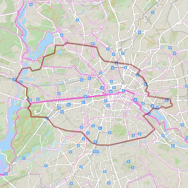
Experience the essence of Berlin with this 65-km gravel adventure, starting near Friedrichsfelde. Venture through diverse landscapes, from the vibrant city center to the serene Grunewald forest. Along the way, you'll encounter historical attractions and natural wonders, such as the famous Tempelhof airfield and the majestic Spandau Citadel. Ascend 182 meters as you explore Teufelsberg, a hill made from World War II rubble, and take in the stunning panoramic views of the city. The route also passes by notable landmarks like the Humboldthöhe and Platz des 9. November 1989.
gravel
65 km
182 m
Tough
Route profile
Highlights on the route
0 km
0 km
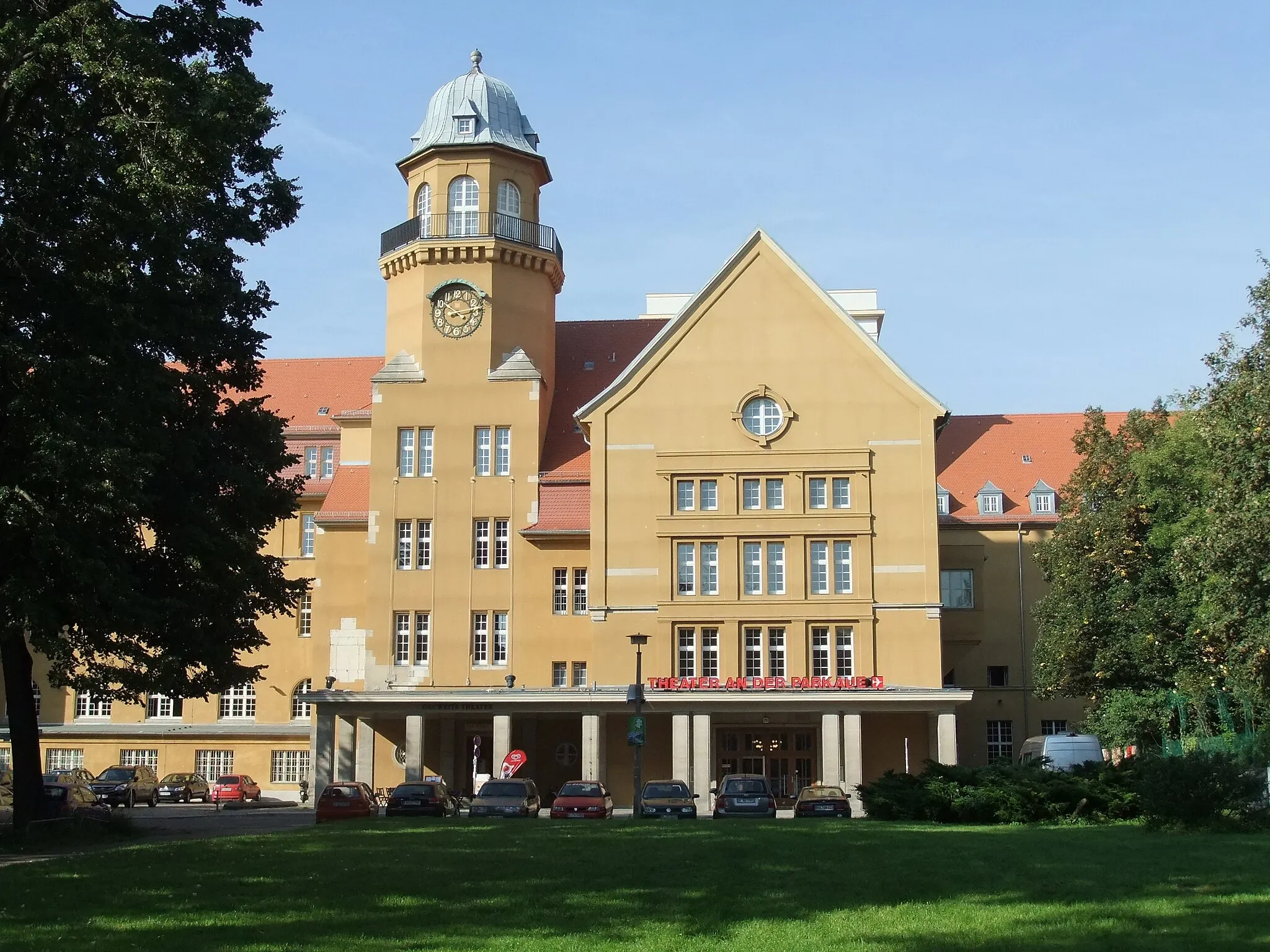
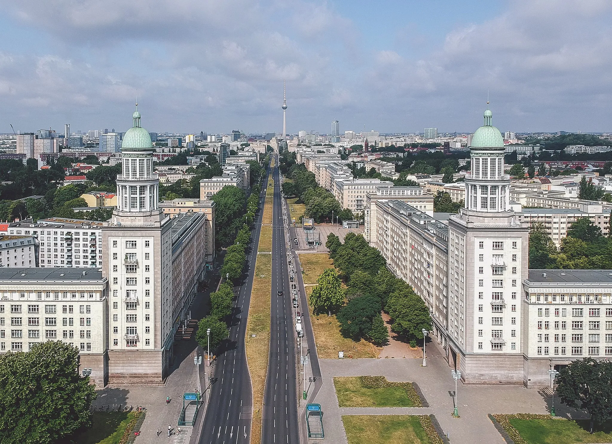
Start: Locality centerFriedrichsfelde: Blend of urban cycling and serene park rides in Friedrichsfelde.
Friedrichsfelde is a locality located in the Berlin region of Germany. From a cyclist's perspective, Friedrichsfelde offers a mix of urban and suburban cycling experiences. Cyclists can explore the city streets and bike paths, as well as venture into the nearby Friedrichsfelde Palace Park for a more tranquil ride. The park features beautiful gardens and peaceful surroundings, providing a welcome escape from the city's hustle and bustle. Overall, Friedrichsfelde is a cyclist-friendly locality with a combination of urban and natural routes to cater to different preferences.14 km
14 km
TempelhofSub-urbDiscover the historic Tempelhof airfield, once one of the busiest airports in Europe
24 km
24 km
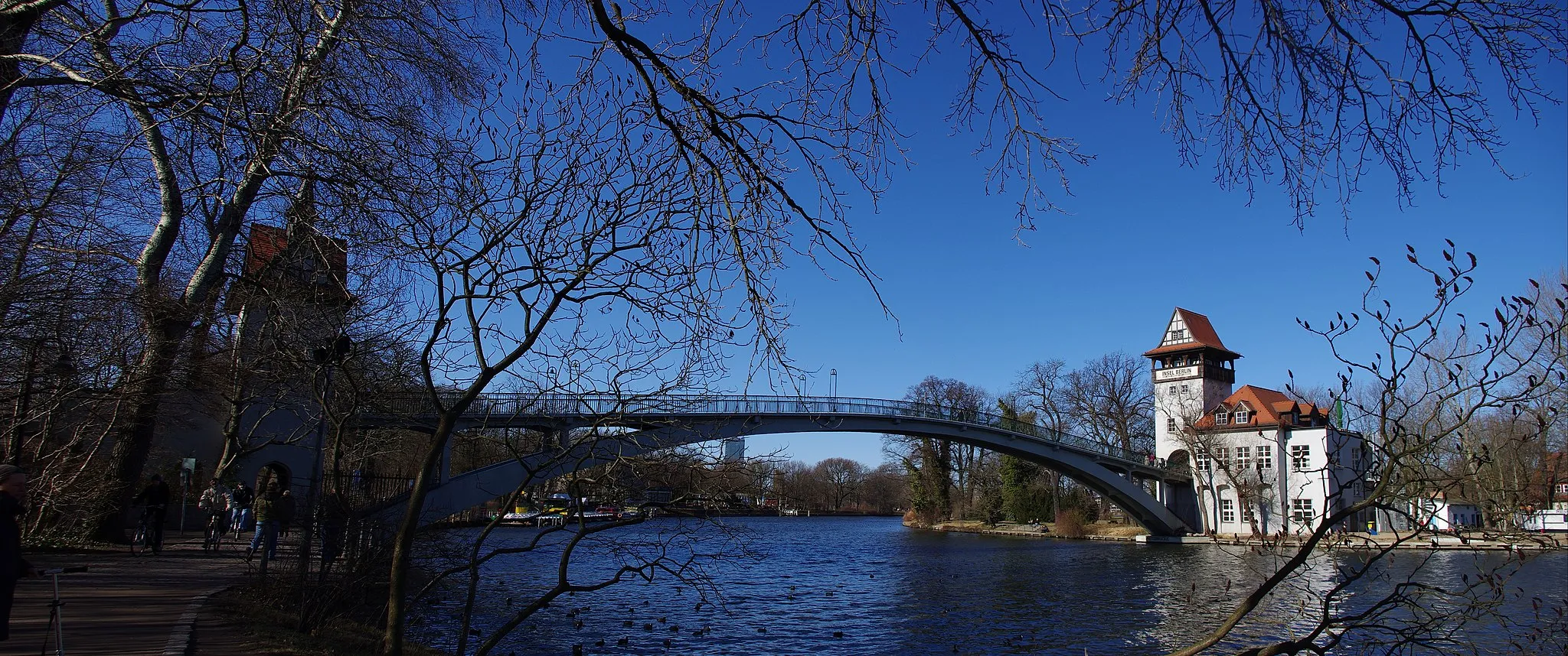
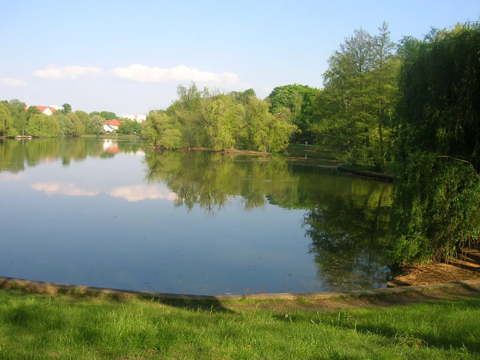
GrunewaldSub-urbImmerse yourself in the picturesque beauty of Grunewald forest
26 km
26 km
Teufelsberg120 mViewpointMarvel at the unique Teufelsberg, an artificial hill made from war debris
34 km
34 km
SpandauSub-urbExplore the grandeur of Spandau Citadel, a medieval fortress
35 km
35 km
JuliusturmViewpointClimb the Juliusturm, a tower offering sweeping views of Berlin
52 km
52 km
Humboldthöhe84 mPeakAdmire the beauty of Humboldthöhe, a picturesque park with impressive vistas
53 km
53 km
Platz des 9. November 1989AttractionReflect at Platz des 9. November 1989, a memorial for the fall of the Berlin Wall
59 km
59 km
Hohes Plateau89 mPeakExperience the tranquility of Hohes Plateau, a peaceful plateau surrounded by nature
64 km
64 km
Memorial to the SocialistsAttractionVisit the Memorial to the Socialists, a tribute to fallen socialist comrades
65 km
65 km
Finish: Locality centerFriedrichsfelde: Blend of urban cycling and serene park rides in Friedrichsfelde.
Cycling routes from Friedrichsfelde:
Cycling routes nearby: