Havel River Loop
A road cycling route starting from Gropiusstadt
Cycle along the picturesque Havel River and enjoy the breathtaking Mahlower Höhe
Map
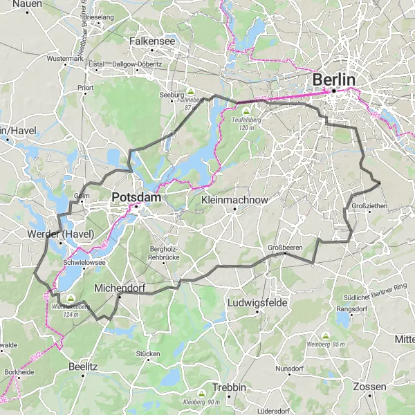
The Havel River Loop is a beautiful round-trip cycling route that takes you along the scenic Havel River. Enjoy the stunning views of the river as you ride through charming villages and countryside. One of the highlights of this route is the Mahlower Höhe, a hill offering panoramic views of the surrounding areas. With a distance of 117 kilometers and an ascent of 467 meters, this route is suitable for experienced cyclists. The overall difficulty rating is 4 out of 5. The route has an epicness rating of 3 out of 5, making it a great option for those looking for a challenging and rewarding cycling adventure.
road
117 km
467 m
Tough
Route profile
Highlights on the route
0 km
0 km
Start: Locality centerGropiusstadt: Embracing cycling diversity in Gropiusstadt's urban and natural environments.
Gropiusstadt is a locality in Berlin, Germany, offering a mix of urban and rural cycling experiences. As a cyclist, you can explore well-connected bike paths in the city center or venture into nearby natural areas. Britz Garden, a nearby park, is a popular spot for leisure rides and picnics. While Gropiusstadt may not boast iconic climbs or challenging routes, it provides convenient access to various cycling amenities. Overall, Gropiusstadt offers a balanced blend of urban convenience and natural beauty for cyclists.11 km
11 km
Mahlower Höhe62 mPeakClimb to the top of Mahlower Höhe and enjoy breathtaking panoramic views of the Havel River and surrounding countryside.
16 km
16 km
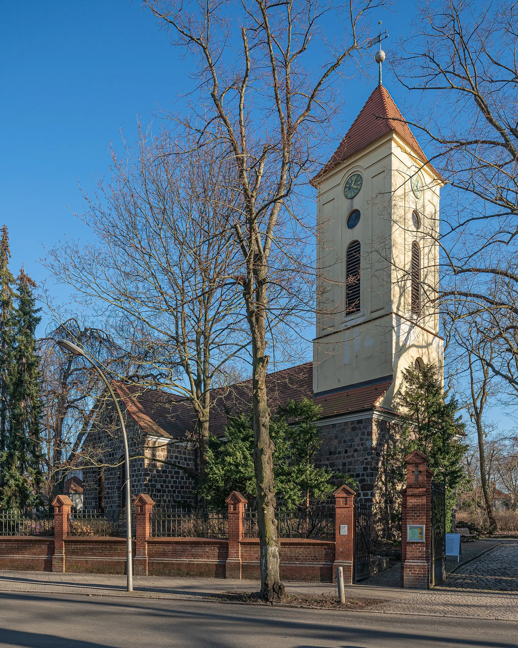
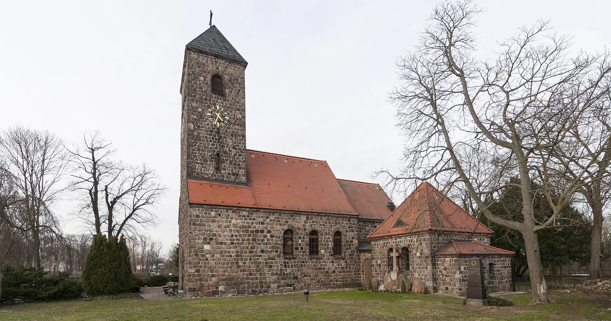
DiedersdorfVillageVisit the charming village of Diedersdorf, known for its historic buildings and picturesque scenery.
34 km
34 km
Saarmunder Berg96 mPeakExperience the thrill of cycling up Saarmunder Berg, a challenging climb that rewards you with stunning views.
40 km
40 km
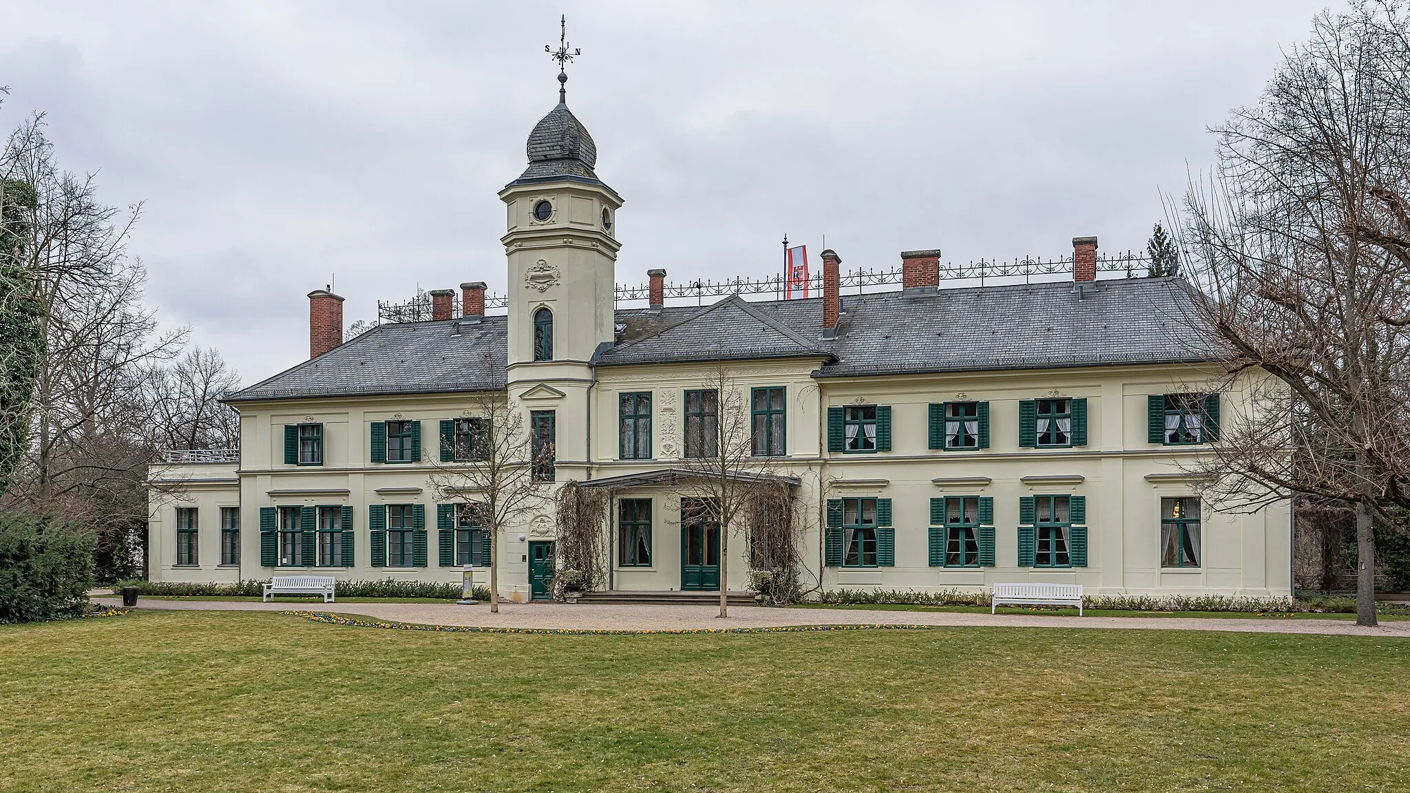
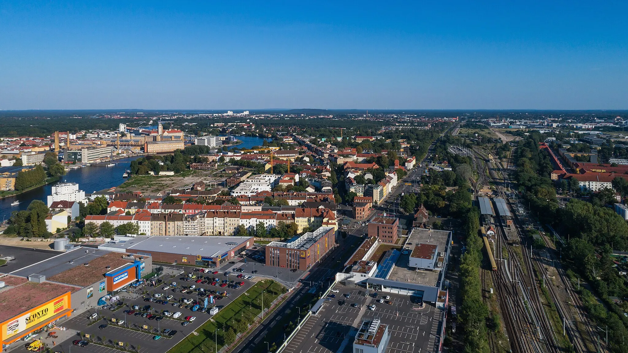
MichendorfTownStop by Michendorf, a charming town known for its historic architecture and cozy cafes.
49 km
49 km
Wietkiekenberg124 mPeakExplore Wietkiekenberg, a beautiful nature reserve nestled in the countryside.
62 km
62 km
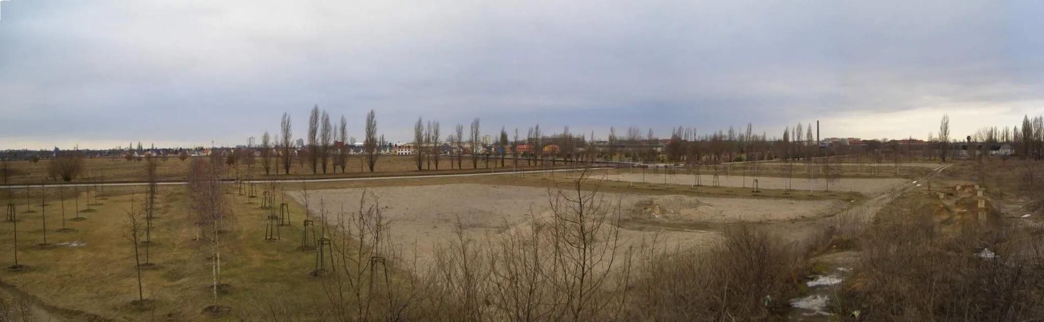
Werder (Havel)TownTake a break in Werder (Havel), a picturesque town famous for its vineyards and fruit orchards.
70 km
70 km
Geiselberg48 mPeakChallenge yourself with the ascent of Geiselberg, a thrilling climb with stunning views at the top.
83 km
83 km
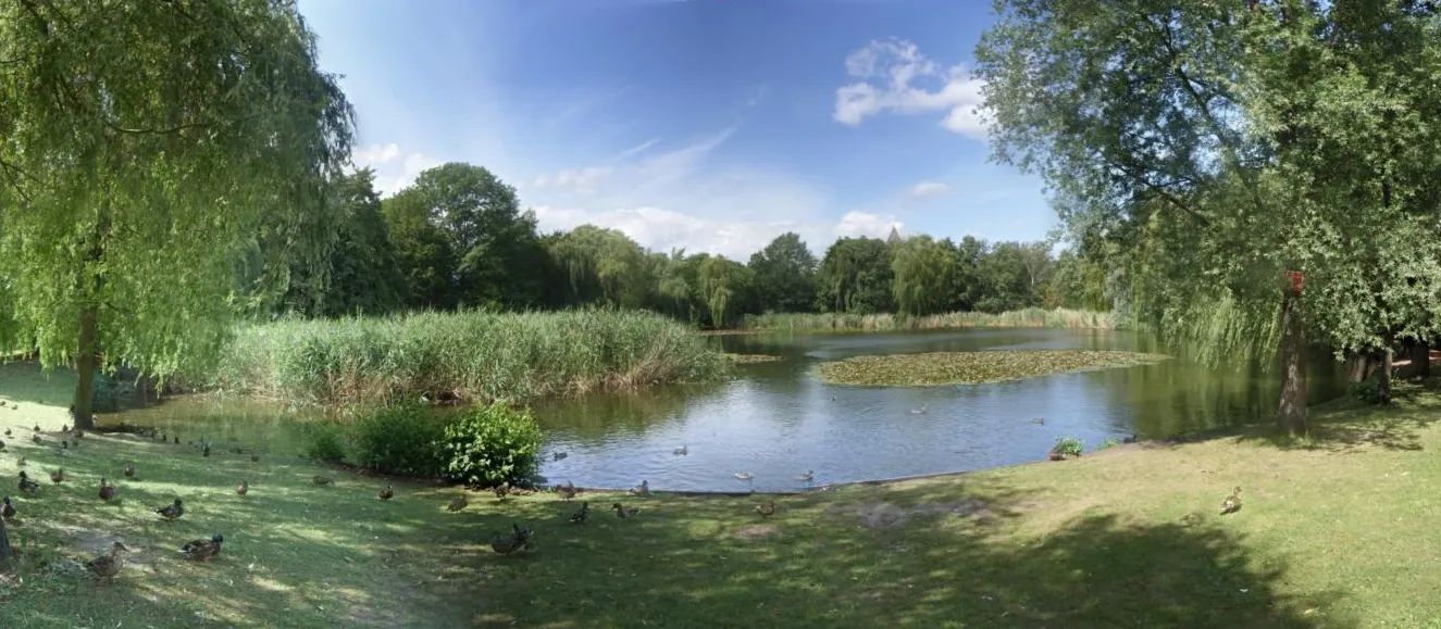
Groß GlienickeVillageCycle through Groß Glienicke and admire the beautiful lakes and nature surrounding the area.
95 km
95 km
Teufelsberg120 mViewpointMake a stop at Teufelsberg, a former Cold War listening station with a unique history and amazing views of Berlin.
107 km
107 km
Ehemaliger Flughafen Berlin-TempelhofAttractionDiscover the iconic Berlin-Tempelhof former airport, now a popular recreational area for both locals and tourists.
115 km
115 km
Britzer MühleAttractionVisit the charming Britzer Mühle, a historic windmill located in the Britz neighborhood of Berlin.
117 km
117 km
Finish: Locality centerGropiusstadt: Embracing cycling diversity in Gropiusstadt's urban and natural environments.
Cycling routes nearby: