Nature and History Expedition
A road cycling route starting from Gropiusstadt
Embark on an unforgettable expedition through nature and explore historic landmarks along the way
Map
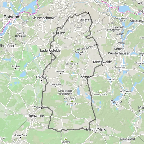
The Nature and History Expedition is a cycling route that combines the exploration of nature with the discovery of Germany's rich history. Immerse yourself in breathtaking landscapes, charming villages, and remarkable historic landmarks as you pedal along this incredible journey. One of the highlights of this route is the Dörferblick, a lookout point offering panoramic views of the surrounding countryside and distant villages. With a distance of 136 kilometers and an ascent of 346 meters, this expedition is recommended for experienced cyclists. The difficulty rating is 4 out of 5, making it a challenging adventure. The route has an epicness rating of 4 out of 5, ensuring an extraordinary and immersive cycling experience.
road
136 km
346 m
Tough
Route profile
Highlights on the route
0 km
0 km
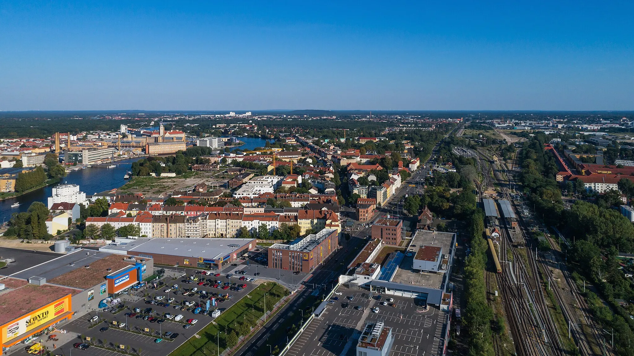
Start: Locality centerGropiusstadt: Embracing cycling diversity in Gropiusstadt's urban and natural environments.
Gropiusstadt is a locality in Berlin, Germany, offering a mix of urban and rural cycling experiences. As a cyclist, you can explore well-connected bike paths in the city center or venture into nearby natural areas. Britz Garden, a nearby park, is a popular spot for leisure rides and picnics. While Gropiusstadt may not boast iconic climbs or challenging routes, it provides convenient access to various cycling amenities. Overall, Gropiusstadt offers a balanced blend of urban convenience and natural beauty for cyclists.3 km
3 km
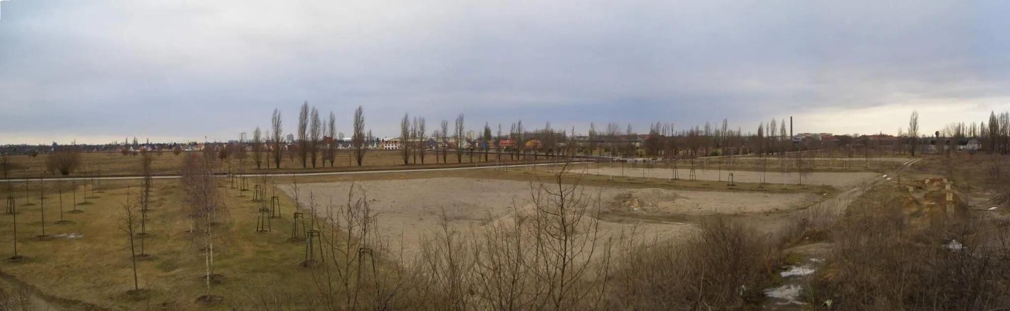
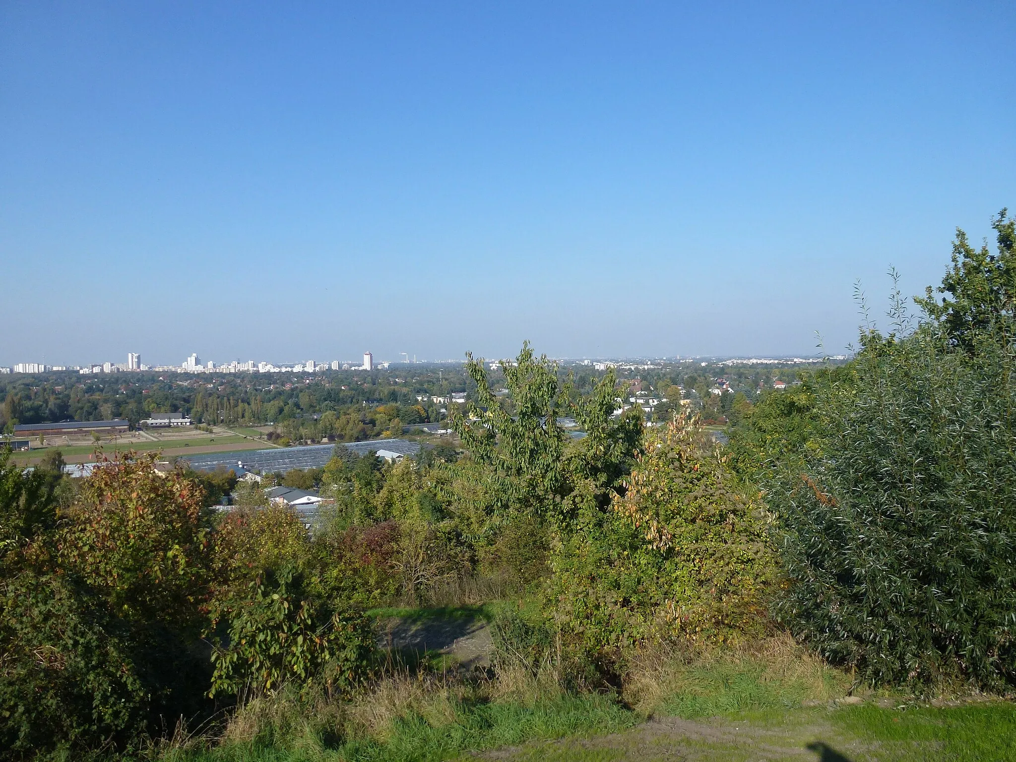
Dörferblick86 mPeakStop at the Dörferblick and enjoy panoramic views of the beautiful countryside and traditional German villages.
7 km
7 km
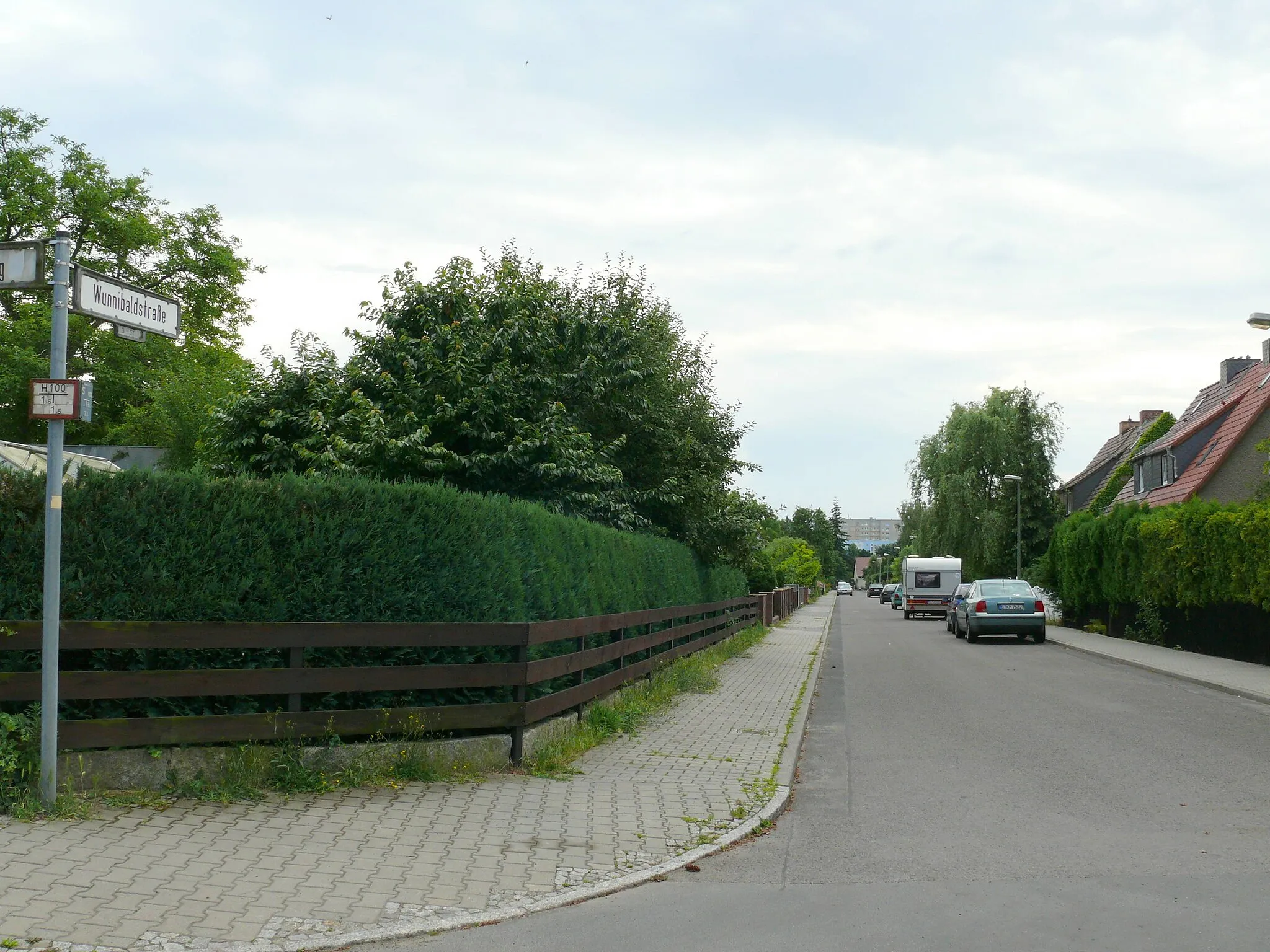
WaßmannsdorfVillageVisit Waßmannsdorf, a tranquil village known for its green landscapes and idyllic charm.
24 km
24 km
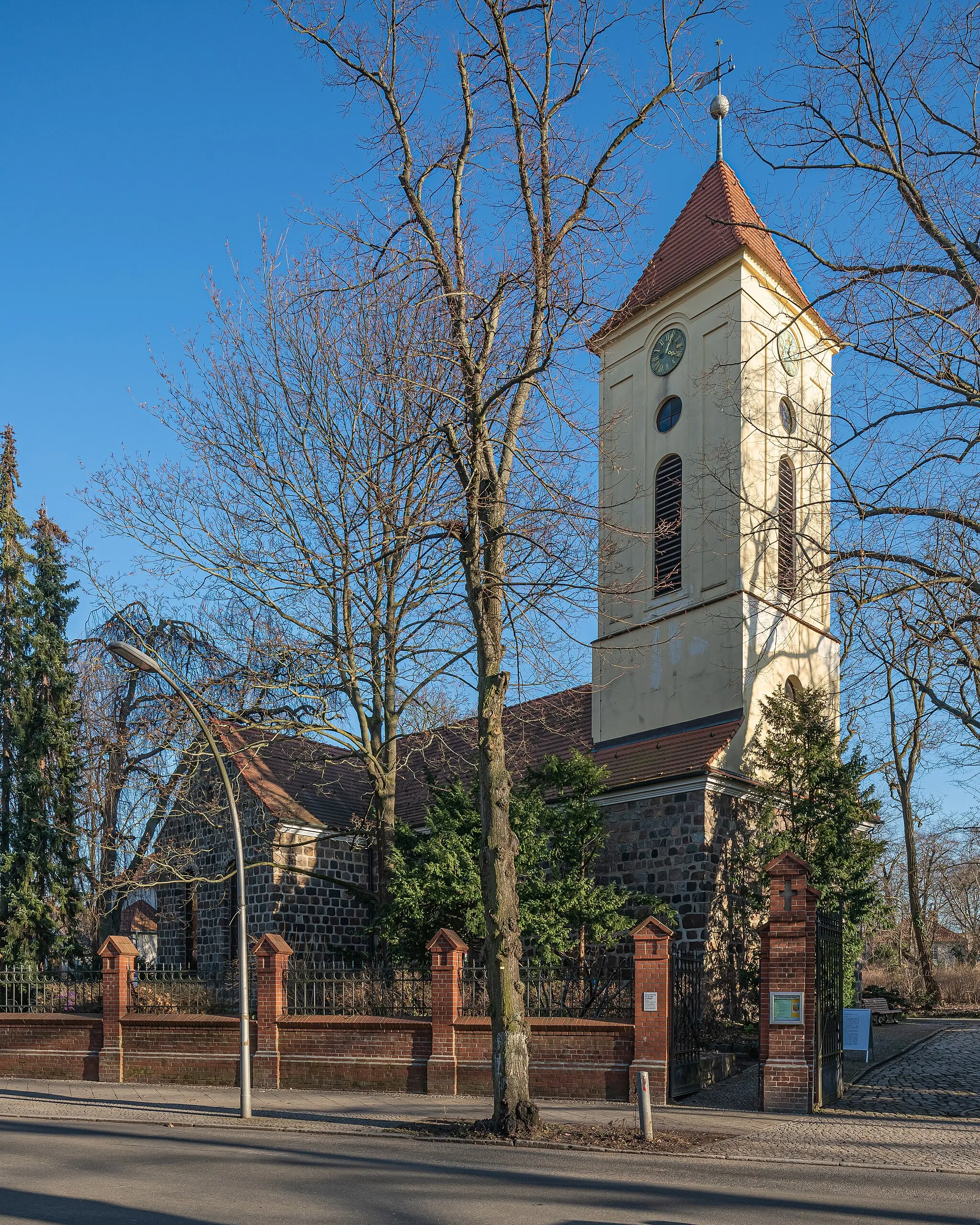
MittenwaldeTownExplore Mittenwalde and its rich history, including its well-preserved medieval town center and charming architecture.
27 km
27 km
Pennigsberg37 mPeakClimb the Pennigsberg, a hill offering stunning views of the surrounding countryside and distant landscapes.
39 km
39 km
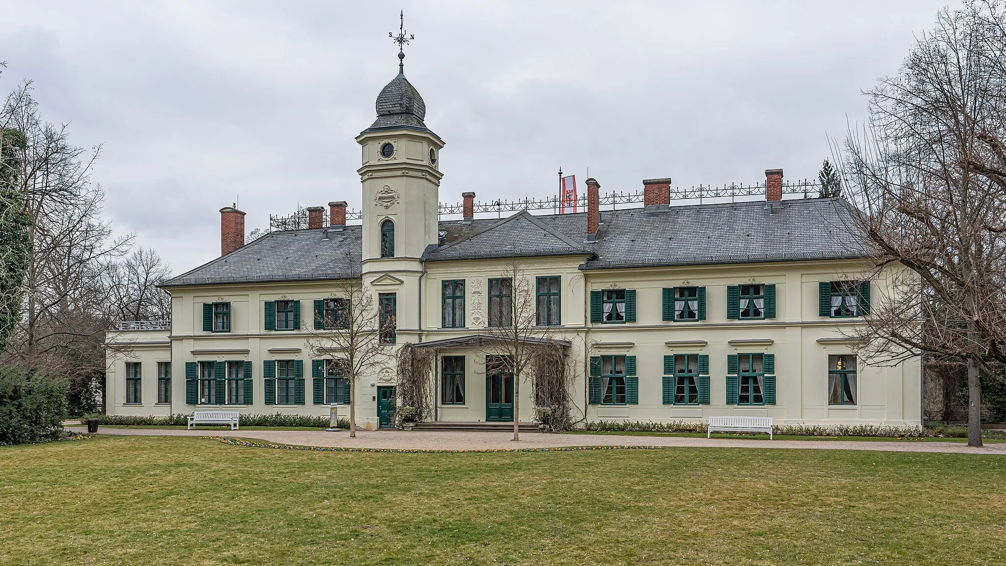
WünsdorfVillageCycle to Wünsdorf and learn about its fascinating military history, including its former status as a Soviet military base.
45 km
45 km
Motzenberg65 mPeakDiscover the scenic beauty and historical significance of Motzenberg, a hill that played an important role during World War II.
54 km
54 km
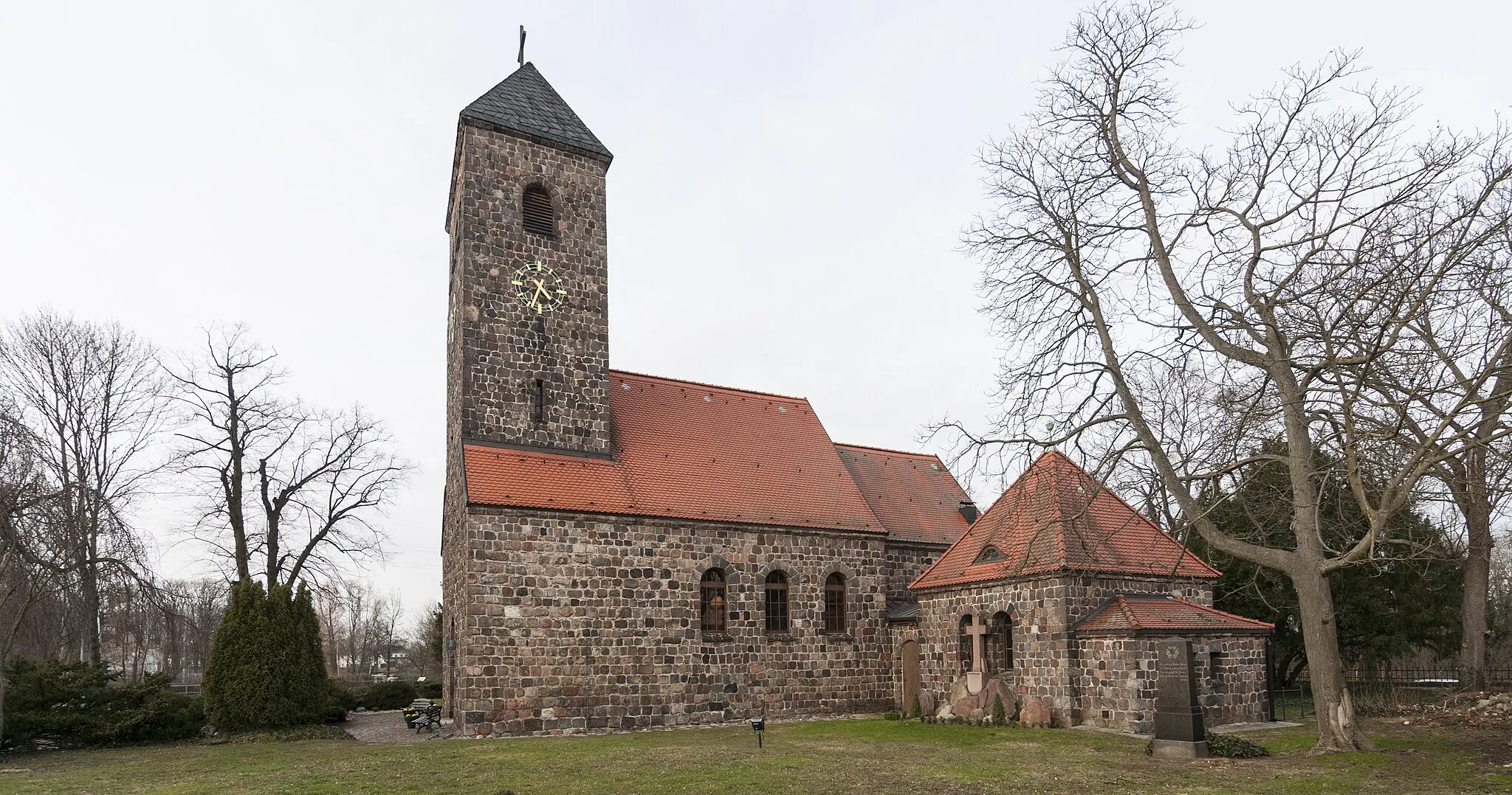
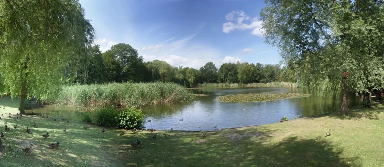
PaplitzVillageVisit Paplitz and explore its peaceful atmosphere, beautiful nature, and historic sites.
75 km
75 km
GottowHamletCycle to Gottow and experience its charming countryside, beautiful landscapes, and peaceful ambiance.
97 km
97 km
TrebbinTownExplore Trebbin and its interesting history, including its well-preserved medieval town center and imposing castle.
110 km
110 km
LudwigsfeldeTownCycle to Ludwigsfelde and discover its remarkable industrial heritage, including its historic factories and unique architecture.
117 km
117 km
Technikdenkmal RieselfeldViewpointVisit the Technikdenkmal Rieselfeld and immerse yourself in the fascinating history of wastewater treatment in Germany.
127 km
127 km
Schlehenberg64 mPeak ViewpointClimb the Schlehenberg and enjoy panoramic views of the surrounding landscapes and distant landmarks.
134 km
134 km
Britzer MühleAttractionExplore the charming Britzer Mühle, a historic windmill located in the Britz neighborhood of Berlin.
136 km
136 km
Finish: Locality centerGropiusstadt: Embracing cycling diversity in Gropiusstadt's urban and natural environments.
Cycling routes nearby: