Wilhelmstadt and Havel Gravel Route
A gravel cycling route starting from Staaken
Explore the scenic gravel roads of Wilhelmstadt and enjoy the views of Havel River.
Map
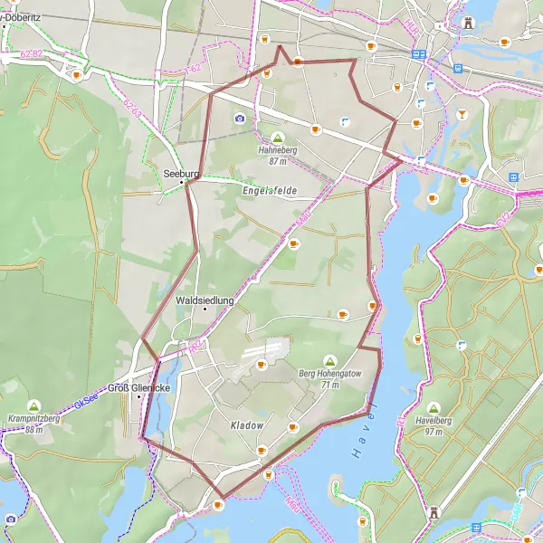
This medium-level bike trail takes you through the charming district of Wilhelmstadt, where you can enjoy the peaceful atmosphere while cycling along the beautiful Havel River. The route is suitable for gravel bikes and includes an ascent of 143 meters over a total distance of 30 kilometers. With highlights like Fort Hahneberg and intricate views of nature, this route offers a perfect blend of outdoor adventure and relaxation.
gravel
30 km
143 m
Tough
Route profile
Highlights on the route
0 km
0 km
Start: Locality centerStaaken: Urban and natural cycling experiences in Berlin's locality of Staaken.
Staaken is a locality in the bustling city of Berlin, Germany. While not necessarily a cycling-focused area, Staaken offers several opportunities for road and gravel cyclists to explore. Cyclists can enjoy riding along the scenic riverside paths of the Havel River or venture into the nearby Grunewald Forest, which provides off-road trails for the more adventurous cyclists. Additionally, Staaken is well-connected to Berlin's extensive cycling infrastructure, allowing for easy access to other parts of the city. Overall, Staaken offers a mix of urban and natural landscapes, providing diverse cycling experiences for riders of all levels.5 km
5 km
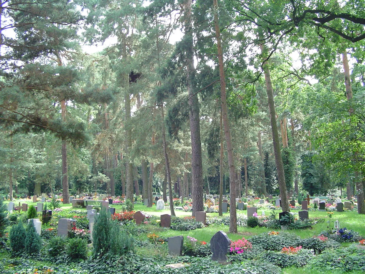
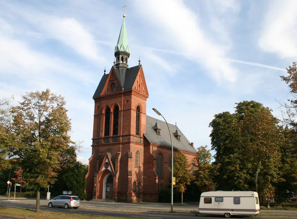
WilhelmstadtSub-urbWilhelmstadt is known for its picturesque streets and historical buildings. Take a short detour to explore the charming surroundings and soak in the local culture.
12 km
12 km
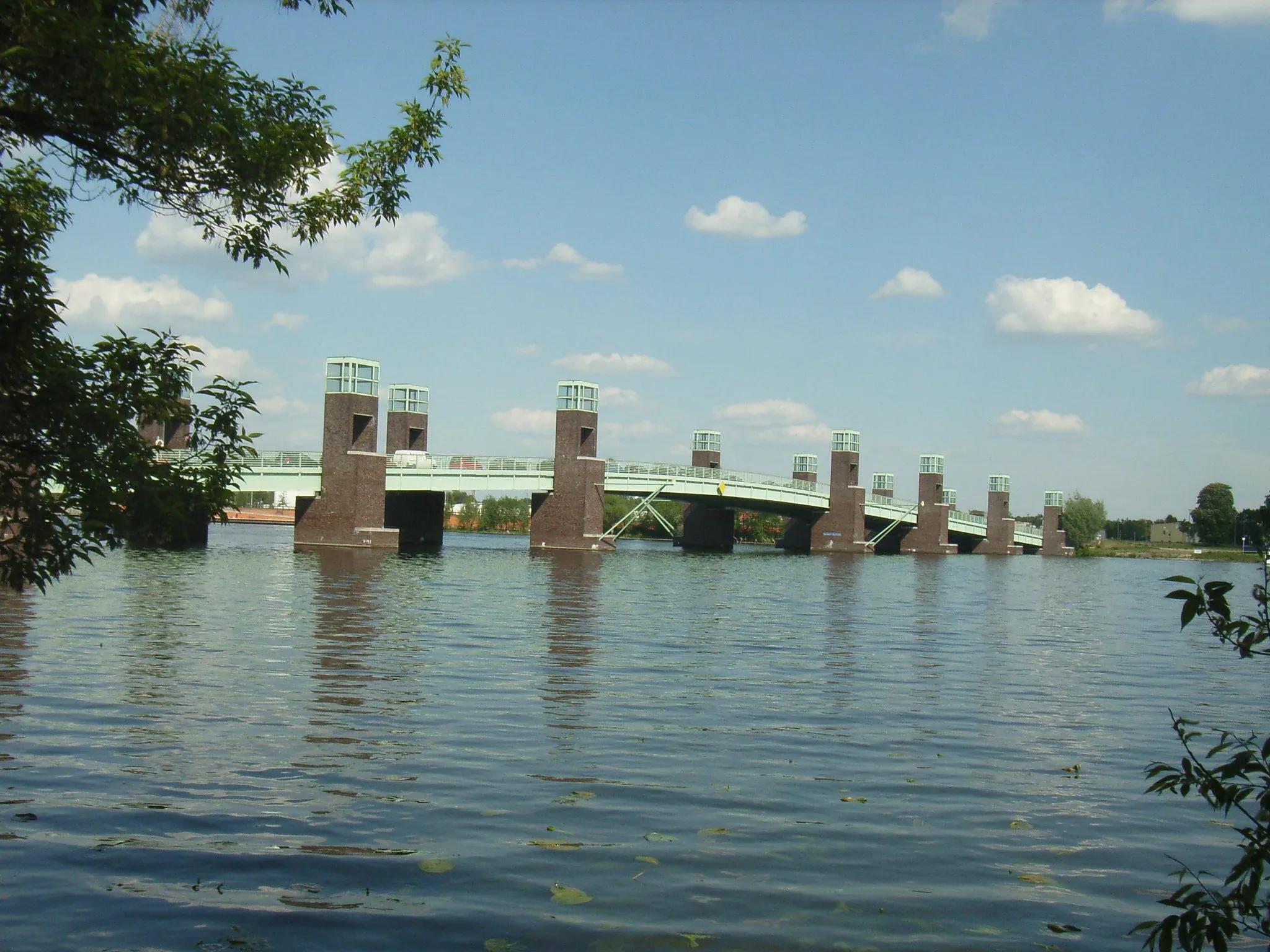
HavelLakeThe Havel River offers stunning views along the entire route. Take some time to stop by the riverbank and enjoy the tranquil water and lush greenery.
20 km
20 km
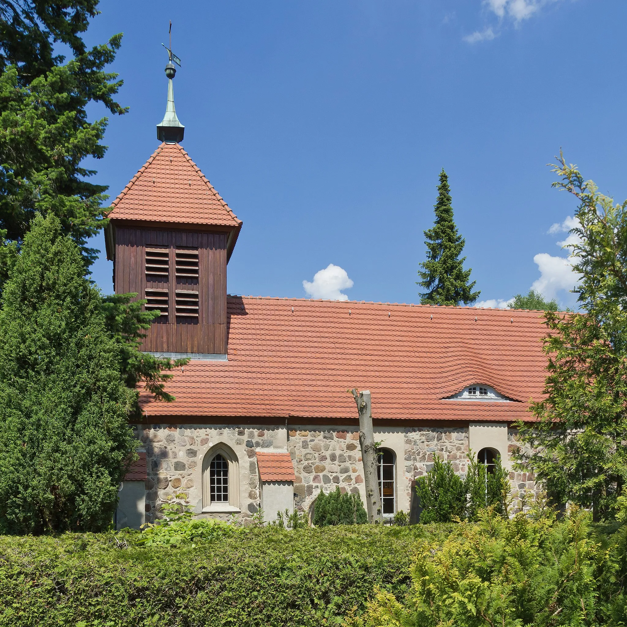
Groß GlienickeVillageGroß Glienicke is a quaint village along the route, known for its tranquil atmosphere and beautiful landscapes. Indulge in the peaceful surroundings and capture some breath-taking photographs.
22 km
22 km
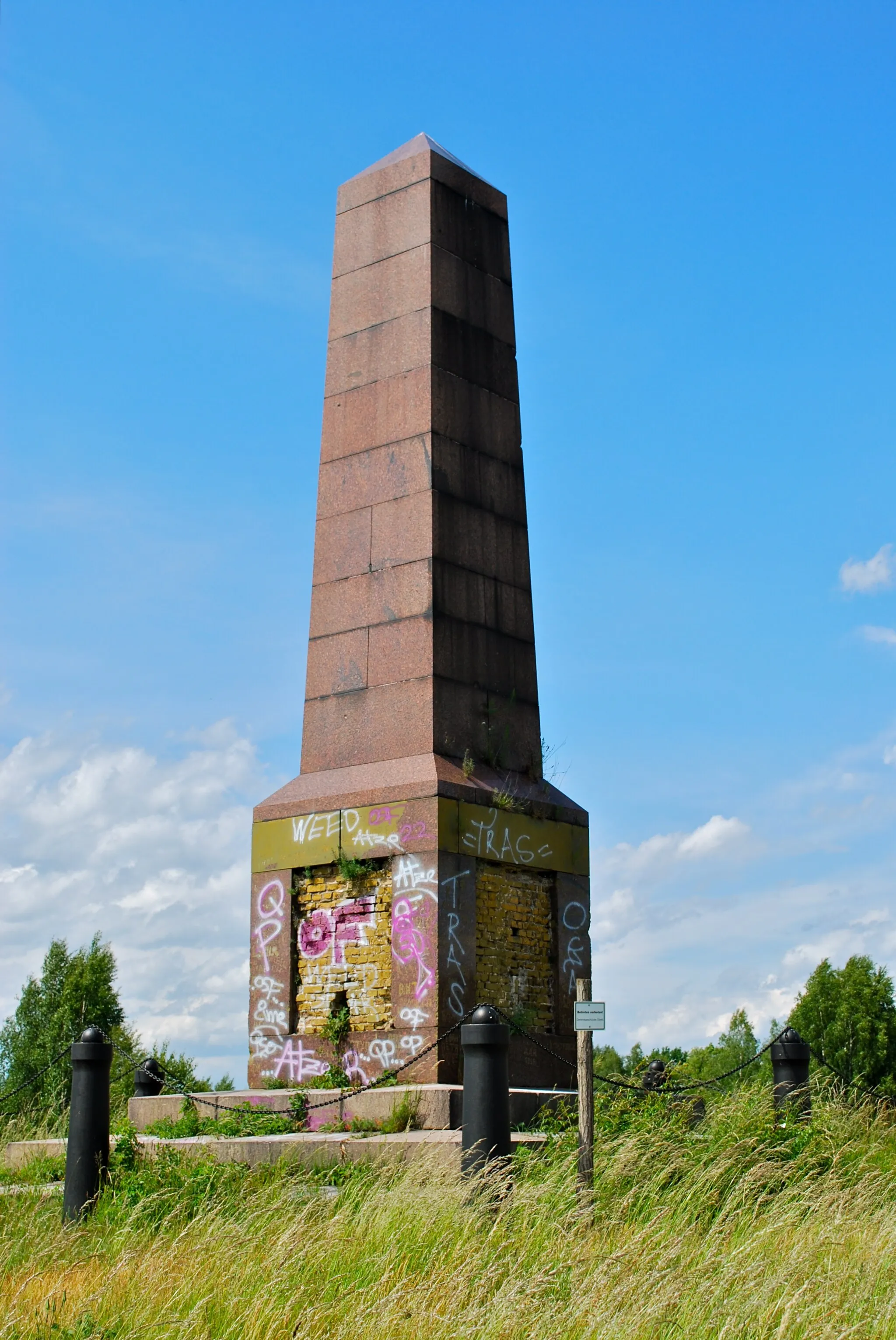
Galgenberg45 mPeakClimb up the Galgenberg for a panoramic view of the surrounding area. From the top, you can see the mighty Havel River and the lush greenery that surrounds it.
27 km
27 km
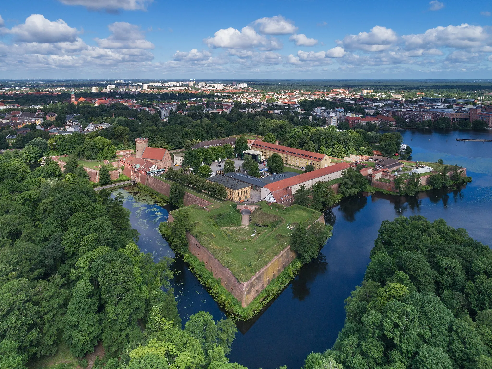
Fort HahnebergAttractionFort Hahneberg is a historical monument that played an important role during World War II. Learn about its rich history and enjoy the breathtaking views from the top.
30 km
30 km
Finish: Locality centerStaaken: Urban and natural cycling experiences in Berlin's locality of Staaken.
Cycling routes from Staaken:
Groß Glienicke and Weinberg Cycling Trail The Great Gravel Ride Gravel Exploration Berlin Road Adventure Wilhelmstadt and Havel Gravel Route Wilhelmstadt Exploration Road Cycling The Berlin Challenge Berlin's Gravel Delight Lake Tegel and Berlin Road Tour Finkenkrug to Fundament Baracke 7 Gravel Trail Staaken Loop
Cycling routes nearby: