Wilhelmstadt Exploration Road Cycling
A road cycling route starting from Staaken
Explore the charming Wilhelmstadt and enjoy expansive views from Fort Hahneberg.
Map
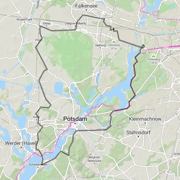
This advanced-level road cycling route takes you through the picturesque Wilhelmstadt district, known for its historic buildings and captivating beauty. The route includes an ascent of 358 meters over a distance of 84 kilometers, making it suitable for experienced cyclists. With highlights like Havel River and Geiselberg, this route offers stunning landscapes and interesting cultural attractions.
road
84 km
358 m
Savage
Route profile
Highlights on the route
0 km
0 km
Start: Locality centerStaaken: Urban and natural cycling experiences in Berlin's locality of Staaken.
Staaken is a locality in the bustling city of Berlin, Germany. While not necessarily a cycling-focused area, Staaken offers several opportunities for road and gravel cyclists to explore. Cyclists can enjoy riding along the scenic riverside paths of the Havel River or venture into the nearby Grunewald Forest, which provides off-road trails for the more adventurous cyclists. Additionally, Staaken is well-connected to Berlin's extensive cycling infrastructure, allowing for easy access to other parts of the city. Overall, Staaken offers a mix of urban and natural landscapes, providing diverse cycling experiences for riders of all levels.4 km
4 km
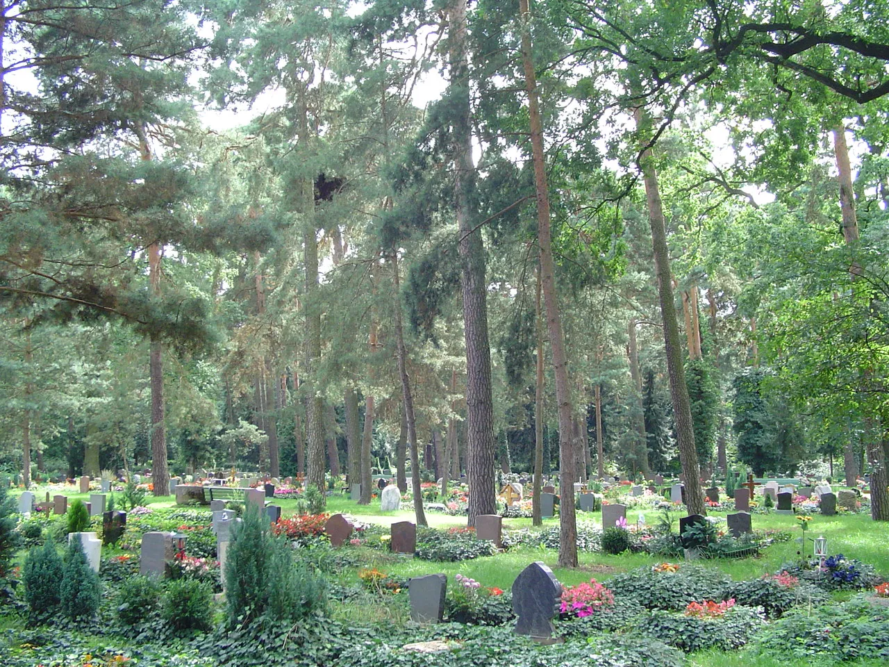
WilhelmstadtSub-urbWilhelmstadt is a hidden gem filled with historical landmarks. Dive into the district's fascinating history and admire the well-preserved architecture as you cycle through its streets.
14 km
14 km
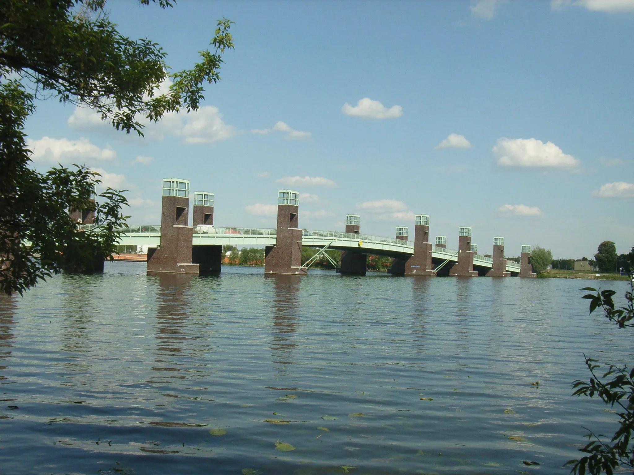
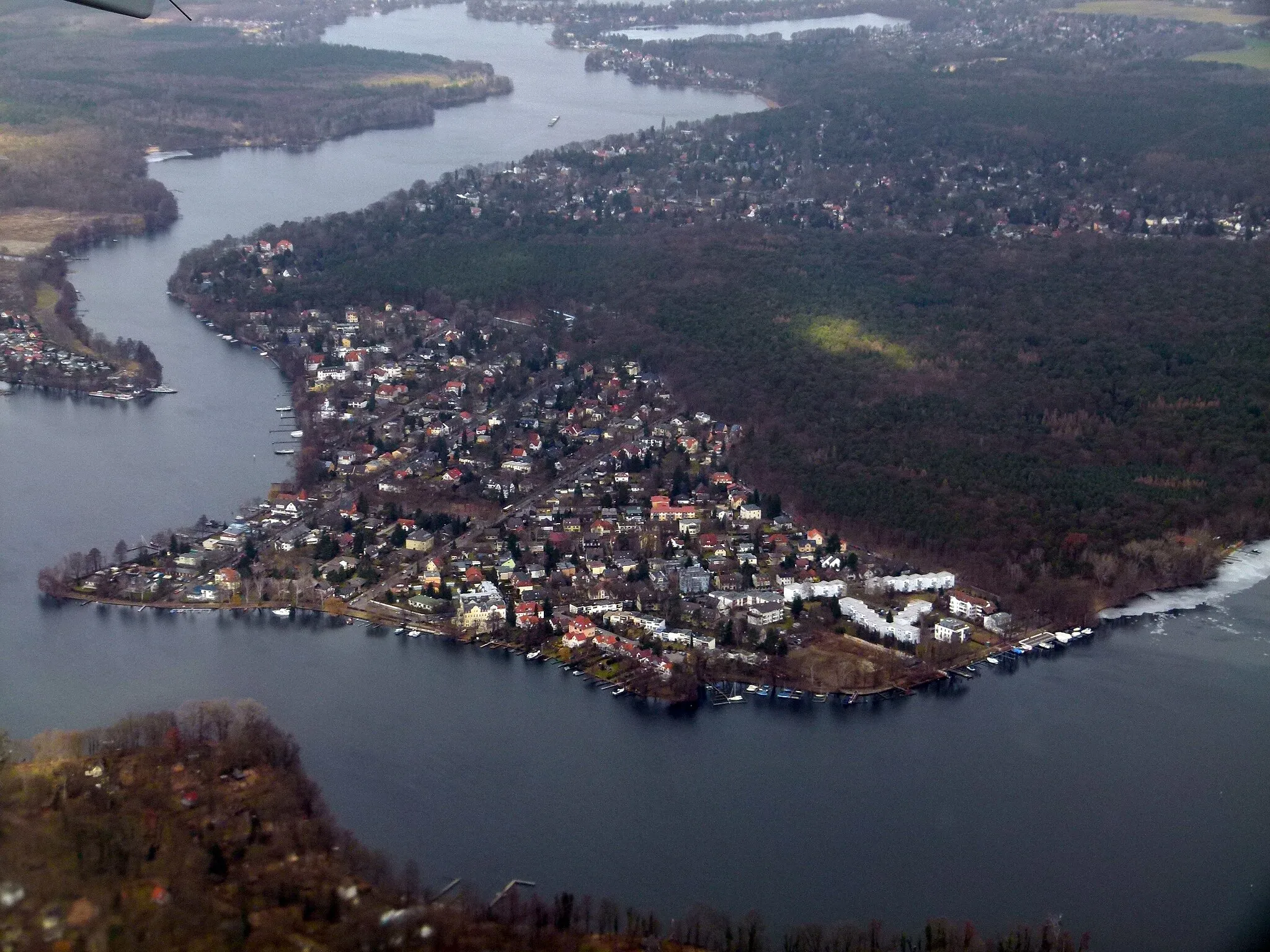
HavelLakeThe majestic Havel River accompanies you throughout the route, providing stunning views and refreshing scenery. Take a break by the river to enjoy its tranquil ambiance.
30 km
30 km
AussichtsplattformViewpointAussichtsplattform is an observation deck that offers panoramic views of the surrounding landscape. Take a moment to enjoy the breathtaking vistas before continuing your ride.
31 km
31 km
Michelson-InterferometerAttractionMichelson-Interferometer is a fascinating scientific instrument. Learn about its purpose and marvel at the complex mechanisms that make it work.
40 km
40 km
SchwielowseeVillageSchwielowsee is a beautiful lake located along the route. Pause for a moment by its shores and take in the serene beauty of the crystal-clear water.
51 km
51 km
Geiselberg48 mPeakGeiselberg is a prominent hill offering stunning views of the surroundings. Climb to the top for a breathtaking vista that stretches far beyond Wilhelmstadt.
72 km
72 km
NordheideViewpointNordheide is a nature reserve that boasts diverse flora and fauna. Observe the local wildlife and experience the peaceful atmosphere as you ride through the area.
75 km
75 km
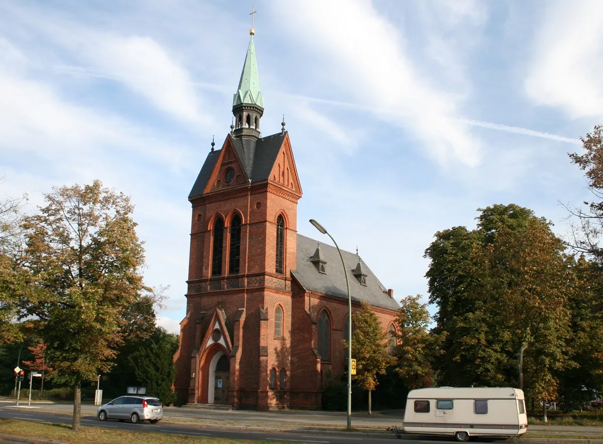
Dallgow-DöberitzVillageDallgow-Döberitz is a historical town that was once a significant military location. Explore its rich past and visit landmarks like the St. Nicolai Church.
83 km
83 km
StaakenSub-urbStaaken, the starting and ending point of this route, offers a blend of natural beauty and a rich historical past. Take some time to explore the town and learn about its fascinating history.
84 km
84 km
Finish: Locality centerStaaken: Urban and natural cycling experiences in Berlin's locality of Staaken.
Cycling routes from Staaken:
Groß Glienicke and Weinberg Cycling Trail The Great Gravel Ride Gravel Exploration Berlin Road Adventure Wilhelmstadt and Havel Gravel Route Wilhelmstadt Exploration Road Cycling The Berlin Challenge Berlin's Gravel Delight Lake Tegel and Berlin Road Tour Finkenkrug to Fundament Baracke 7 Gravel Trail Staaken Loop
Cycling routes nearby: