Gravel Adventure
A gravel cycling route starting from Wedding
Embark on a gravel adventure through diverse landscapes surrounding Berlin.
Map
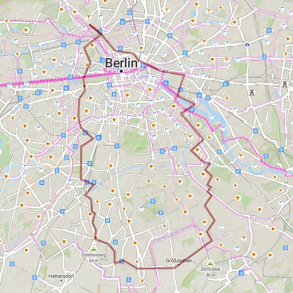
This gravel cycling route offers a thrilling adventure through the outskirts of Berlin, taking you on a journey across varied terrains and scenic spots. With a total ascent of 199 meters and a distance of 55 kilometers, this route is suitable for experienced cyclists seeking a mix of challenges and natural beauty. Highlights of the route include the Weiße Maulbeere tree, the Großer Bunkerberg, and the Müllberg (Skypoint). Get ready to explore the Plänterwald forest and enjoy panoramic views from the Insulaner hill.
gravel
55 km
199 m
Tough
Route profile
Highlights on the route
0 km
0 km
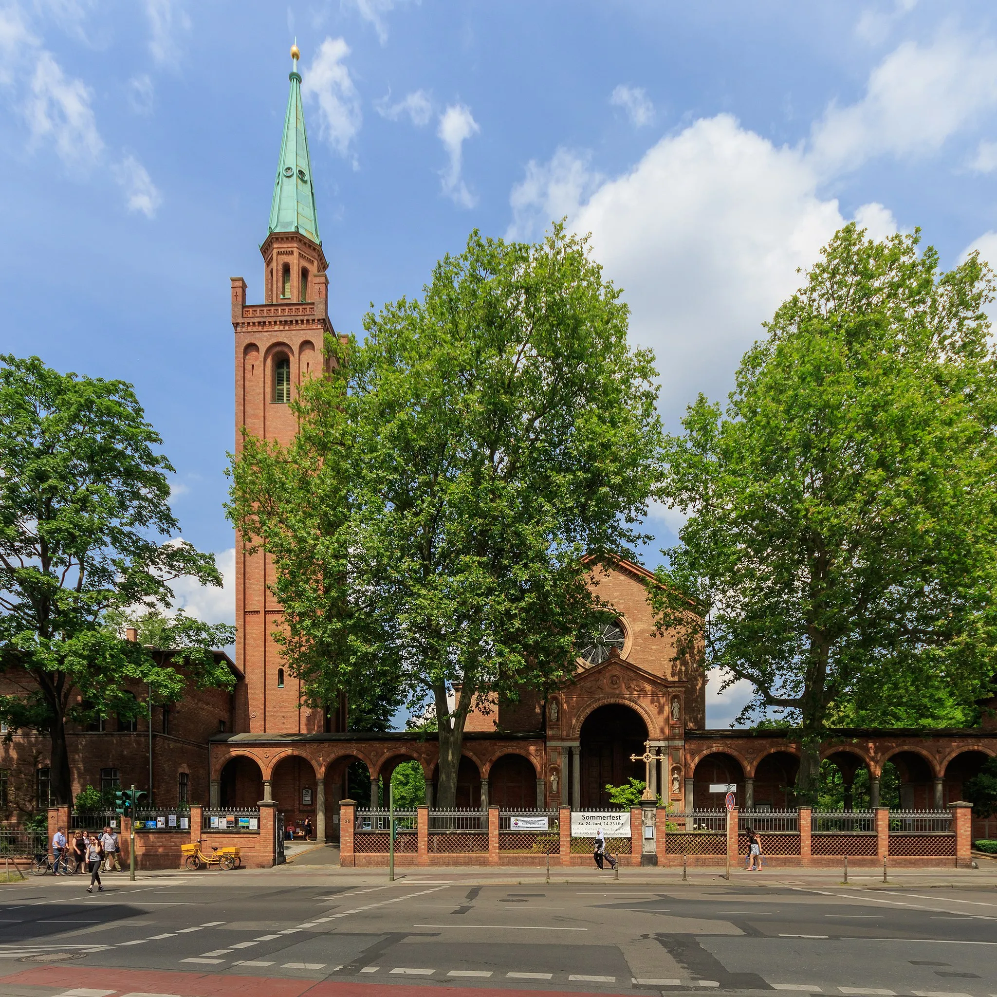
Start: Locality centerWedding: Discovering history while cycling in Wedding, Berlin
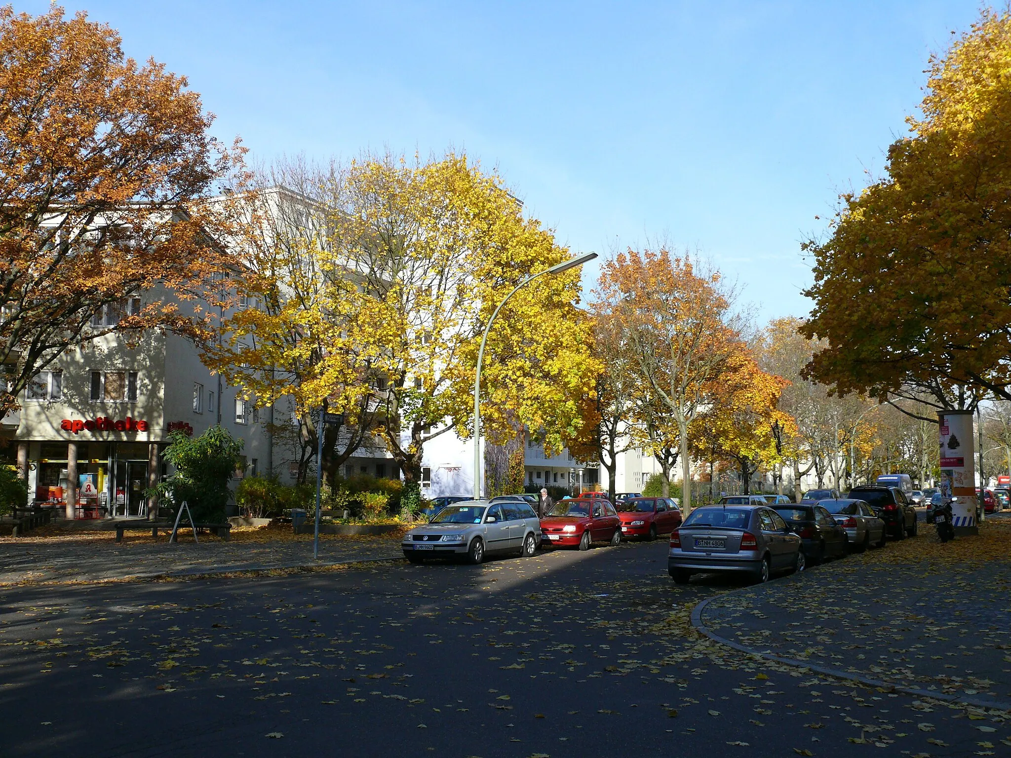
Wedding is a locality in Berlin, Germany that offers varied cycling opportunities. The area has a mix of urban streets and quiet residential roads, making it suitable for both road and gravel cyclists. One of the highlights for cyclists in this area is the possibility to ride along the Berlin Wall Trail, which offers a unique historical experience. Additionally, Wedding is close to Volkspark Rehberge, a large park with bike paths and beautiful green areas. Cyclists can also explore nearby neighborhoods such as Tiergarten and Moabit. Wedding is a diverse locality that caters to the interests of all types of cyclists.2 km
2 km
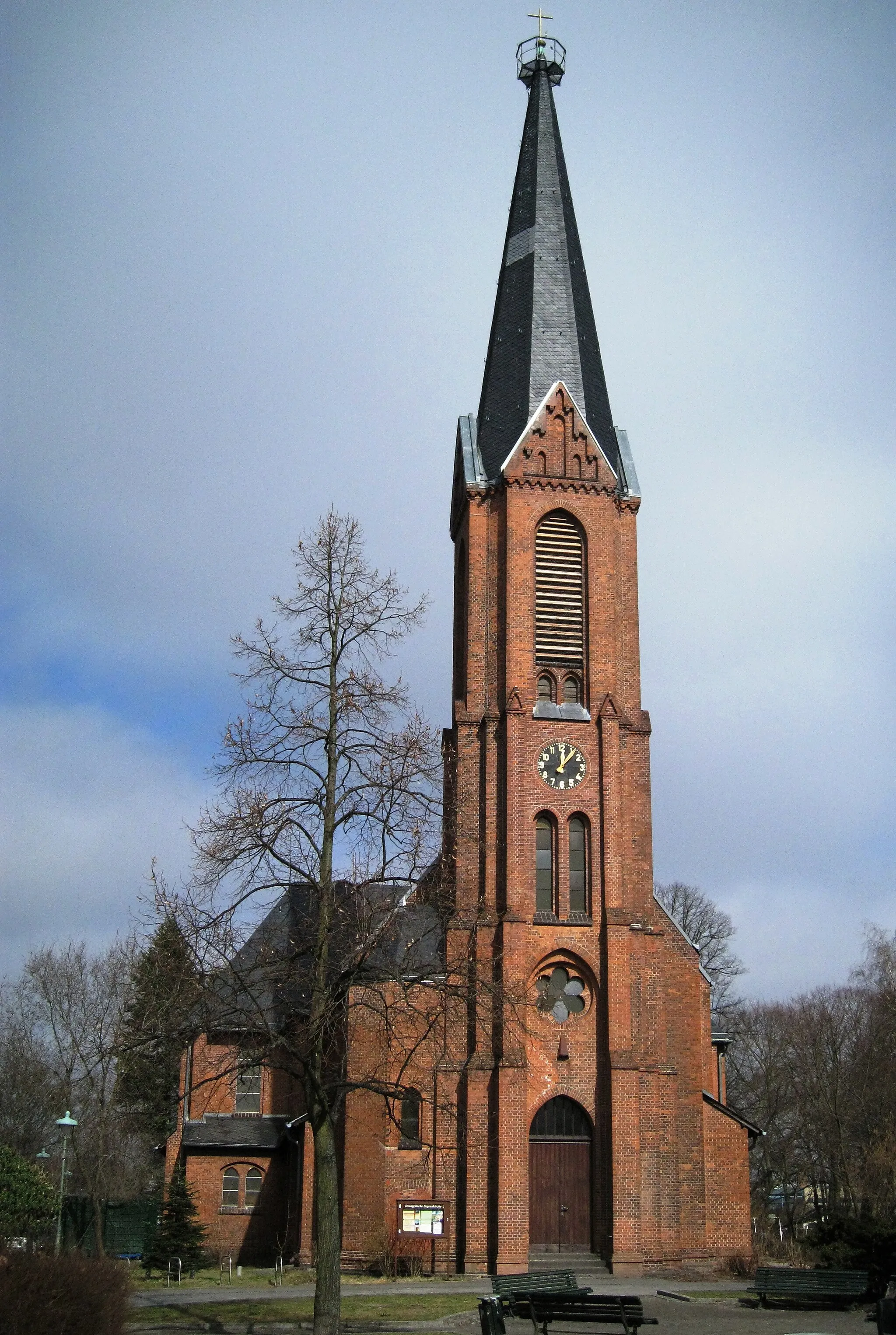
Weiße MaulbeereAttractionWitness the unique beauty of the Weiße Maulbeere tree
6 km
6 km
Großer Bunkerberg78 mPeakClimb the impressive Großer Bunkerberg
15 km
15 km
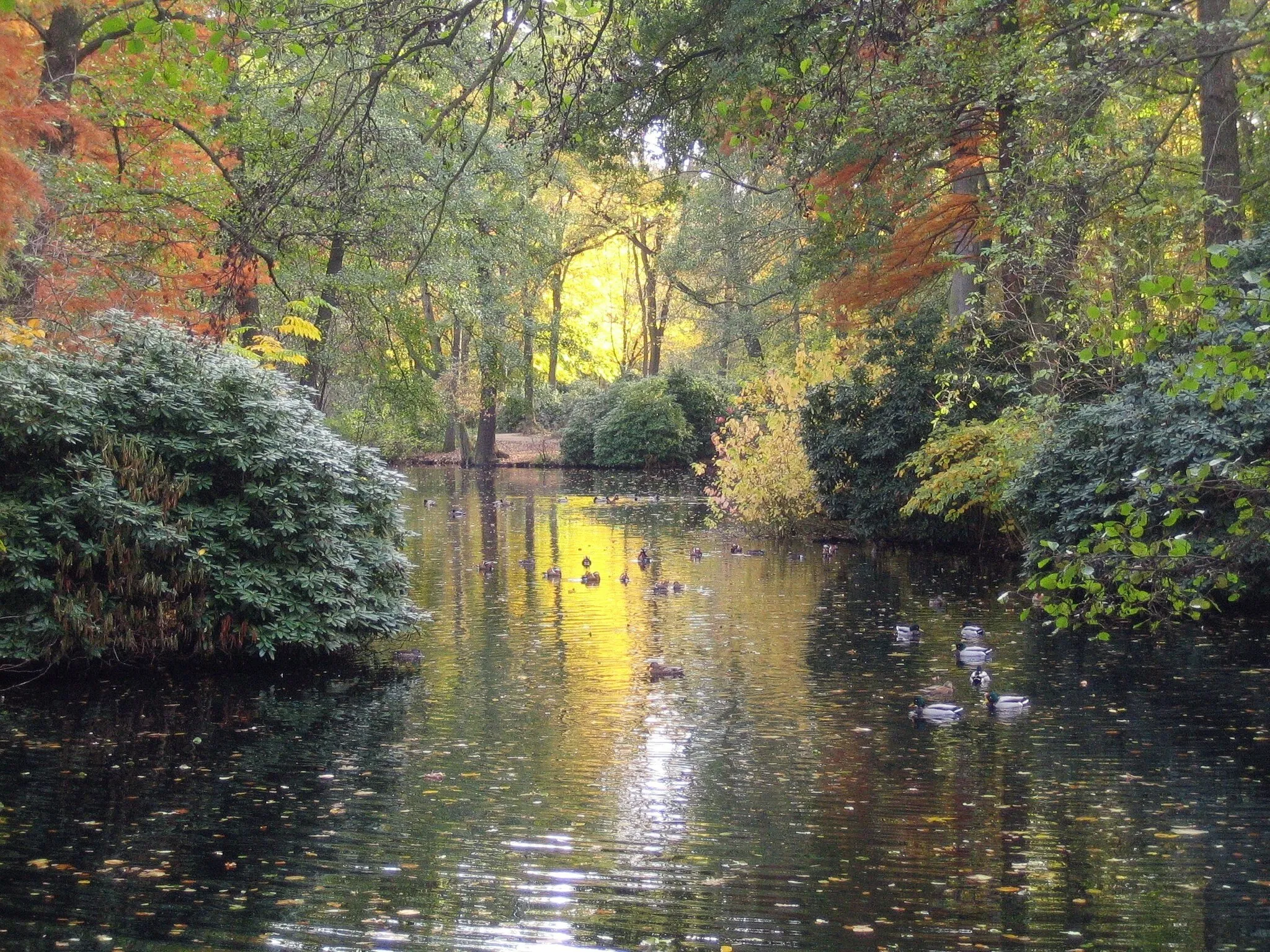
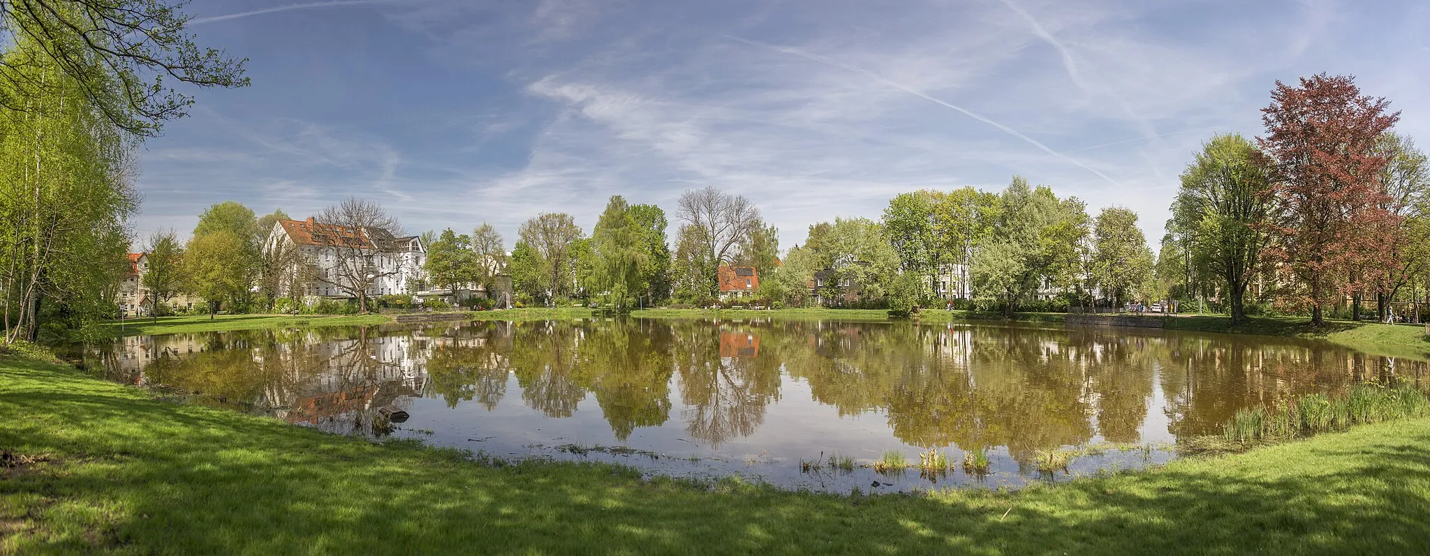
PlänterwaldSub-urbCycle through the picturesque Plänterwald forest
26 km
26 km
Müllberg (Skypoint)85 mPeakGet a bird's eye view from the Müllberg (Skypoint)
42 km
42 km
Insulaner78 mPeakTake in the panoramic views from the Insulaner hill
45 km
45 km
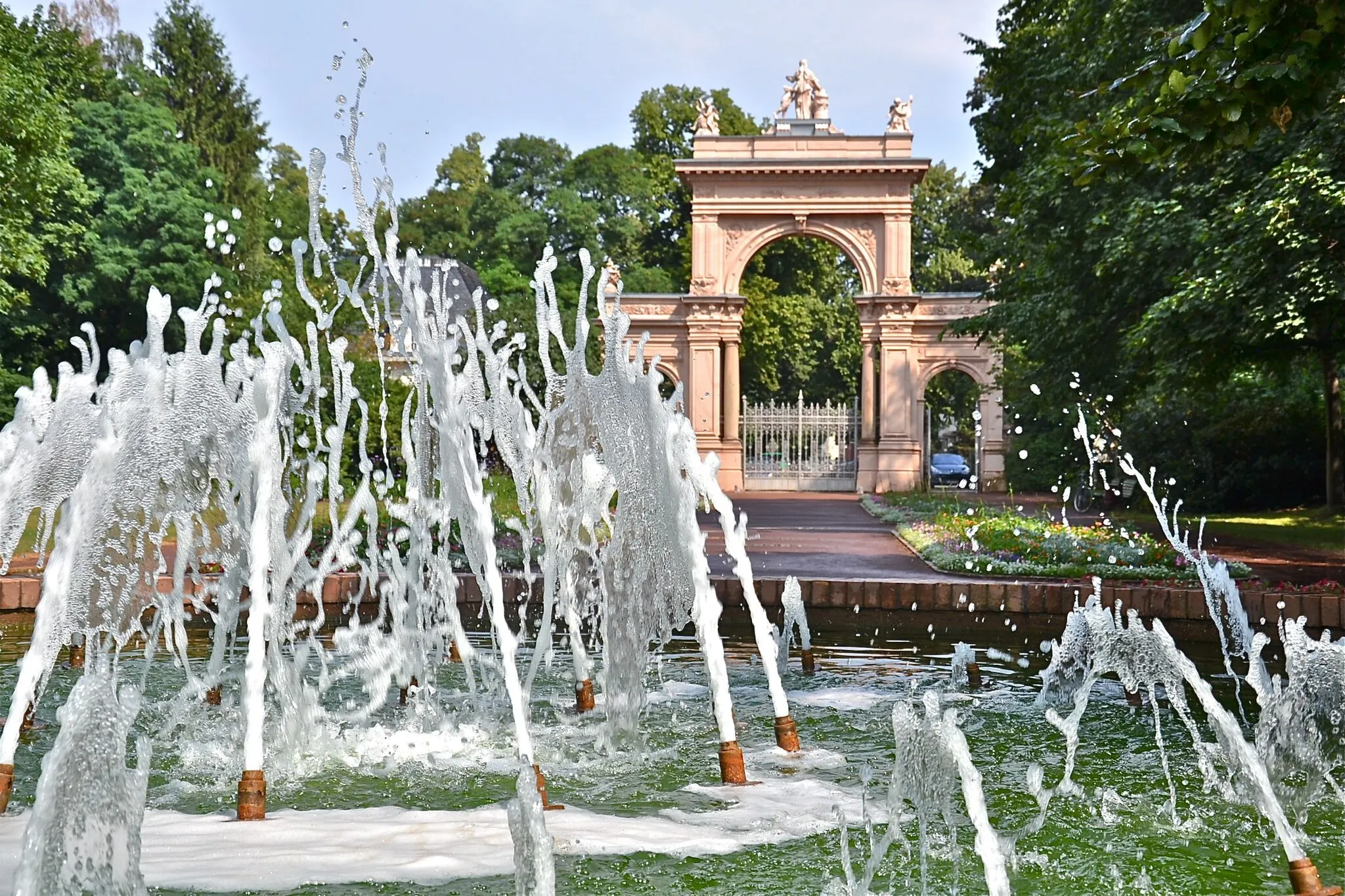
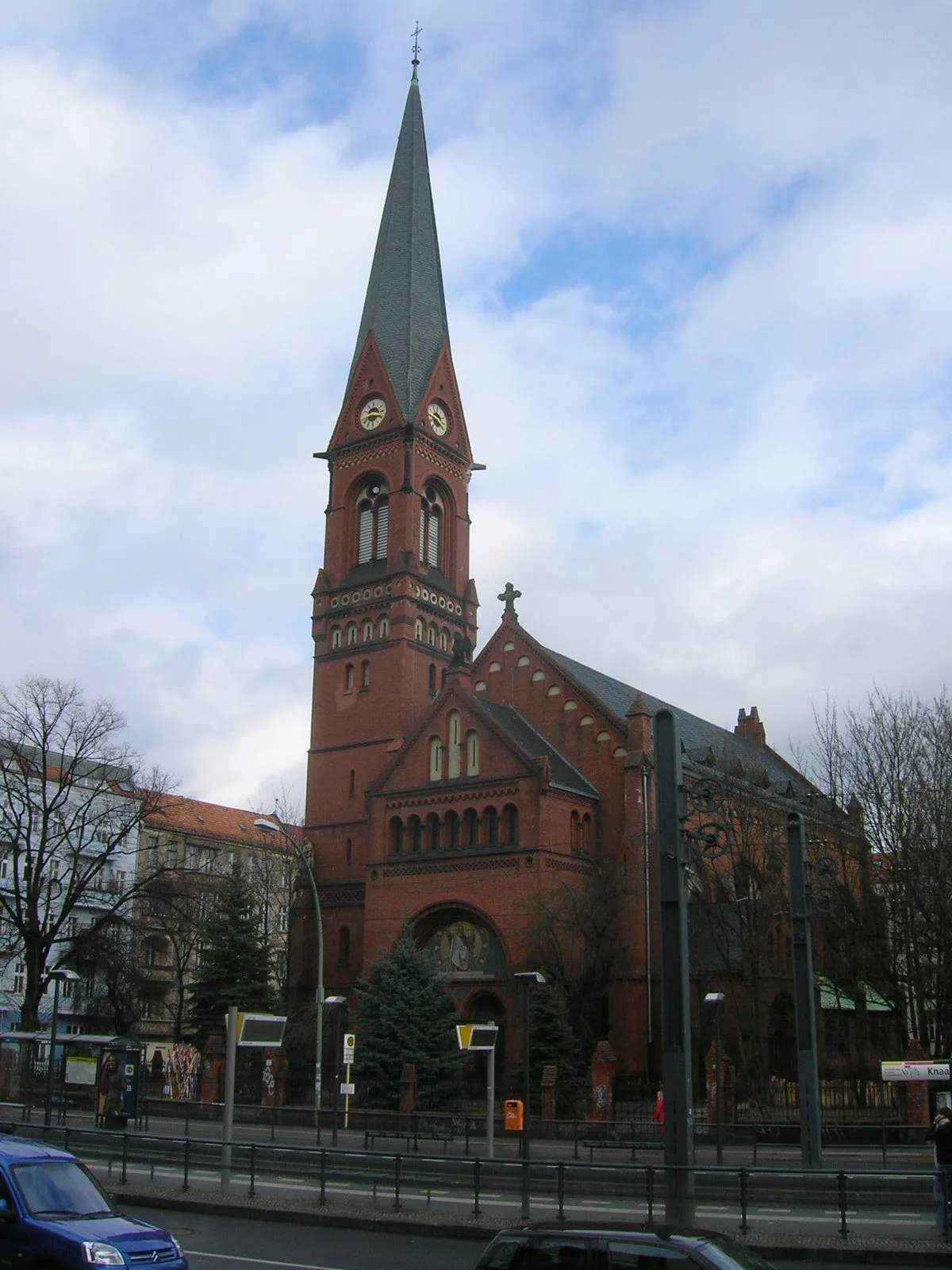
SchönebergSub-urbExplore the vibrant neighborhood of Schöneberg
51 km
51 km
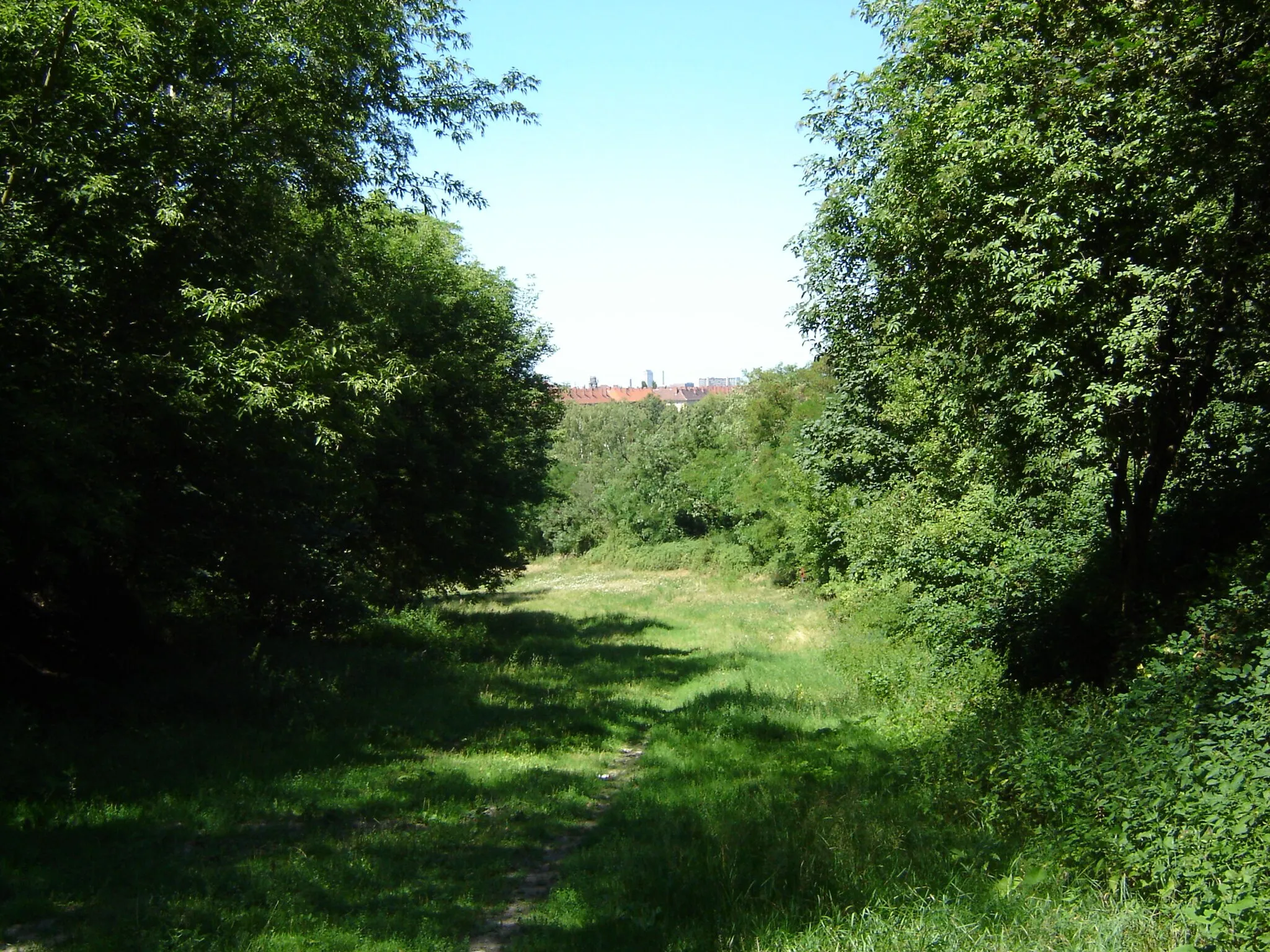
Südplateau49 mPeakEnjoy the tranquil atmosphere of Südplateau
52 km
52 km
MoabitSub-urbVisit the lively district of Moabit
55 km
55 km
Finish: Locality centerWedding: Discovering history while cycling in Wedding, Berlin
Cycling routes nearby: